Embed Size (px)
Citation preview

ABOUT SGTS
Synapse Global Tracking Solution (SGTS) is a tracking and monitoring system for vehicles, assets and peoples. It provides real time tracking and monitoring, information collection and reporting from GPS/GPRS devices.
SGTS is a solution able to serve different industries like Car Renting, Transportation, Distribution, Utility Companies, Defense Systems, State Police, Security Forces...etc.
SGTS has a web based user interface. Each customer has its own account, and the account supports multiple users. Each user has its own login password and controlled access to sections within their associated account.
It comes with built in support for Google Maps and Open Layers, but other mapping services can be integrated within SGTS framework. Detailed and summary reports can also customized to show historical data.
BENEFITS
Know where your vehicles are 24/7
You can see in real time when your vehicles are or check historical
reports to see their itinerary at any date and time.
Increased productivityYou can determine if your vehicles and drivers are in the right place, also when they know they are been monitored the drivers will take the most direct route to the destination.
Reduce Fuel CostsYou can reduce fuel consumption by monitoring driving routes, speeds, stops and idle times.
Eliminate Private Usage
Receive an alert if the vehicle is driving outside working hours and
audit historical reports to see if vehicles deviated from intended
course.
Improve Customer ServiceYou can determine if your vehicles and drivers are in the right place, also when they know they are been monitored the drivers will take the most direct route to the destination.
Minimize Risk & Increase SafetyYou can define speed limits and alerted when there is a breach. You can define where your vehicles is in case of a stolen vehicle.
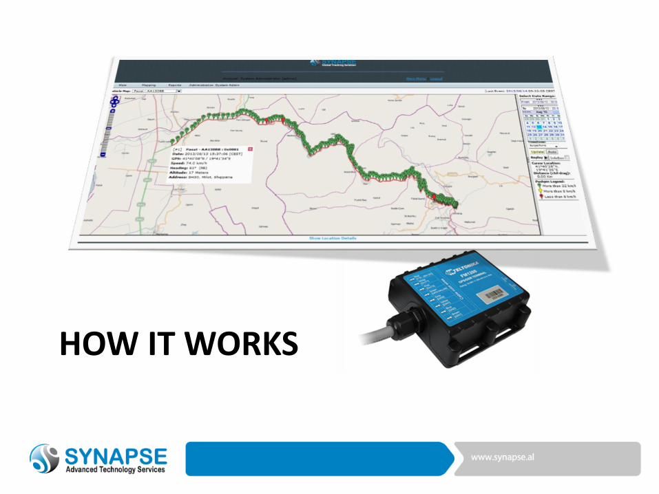
HOW IT WORKS
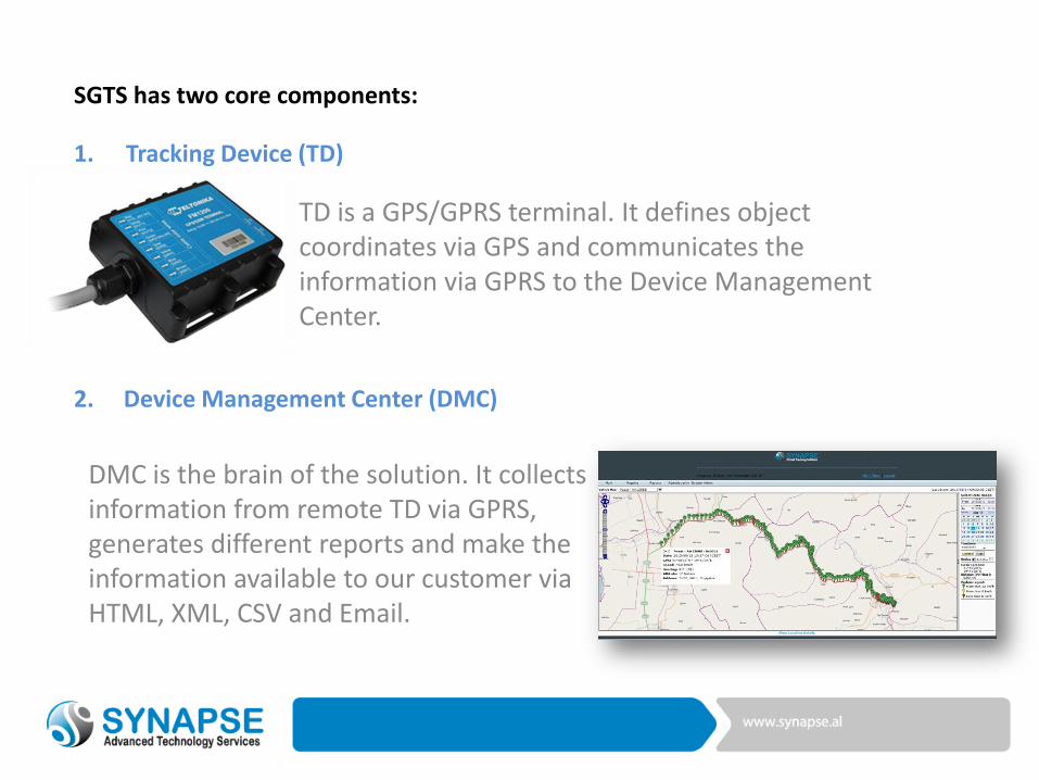
TD is a GPS/GPRS terminal. It defines object coordinates via GPS and communicates the information via GPRS to the Device Management Center.
DMC is the brain of the solution. It collects information from remote TD via GPRS, generates different reports and make the information available to our customer via HTML, XML, CSV and Email.
1. Tracking Device (TD)
SGTS has two core components:
2. Device Management Center (DMC)
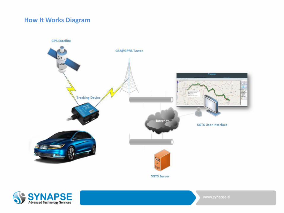
How It Works Diagram
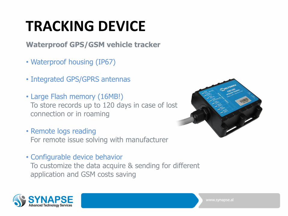
TRACKING DEVICEWaterproof GPS/GSM vehicle tracker
• Waterproof housing (IP67)
• Integrated GPS/GPRS antennas
• Large Flash memory (16MB!)To store records up to 120 days in case of lost connection or in roaming
• Remote logs readingFor remote issue solving with manufacturer
• Configurable device behaviorTo customize the data acquire & sending for different application and GSM costs saving
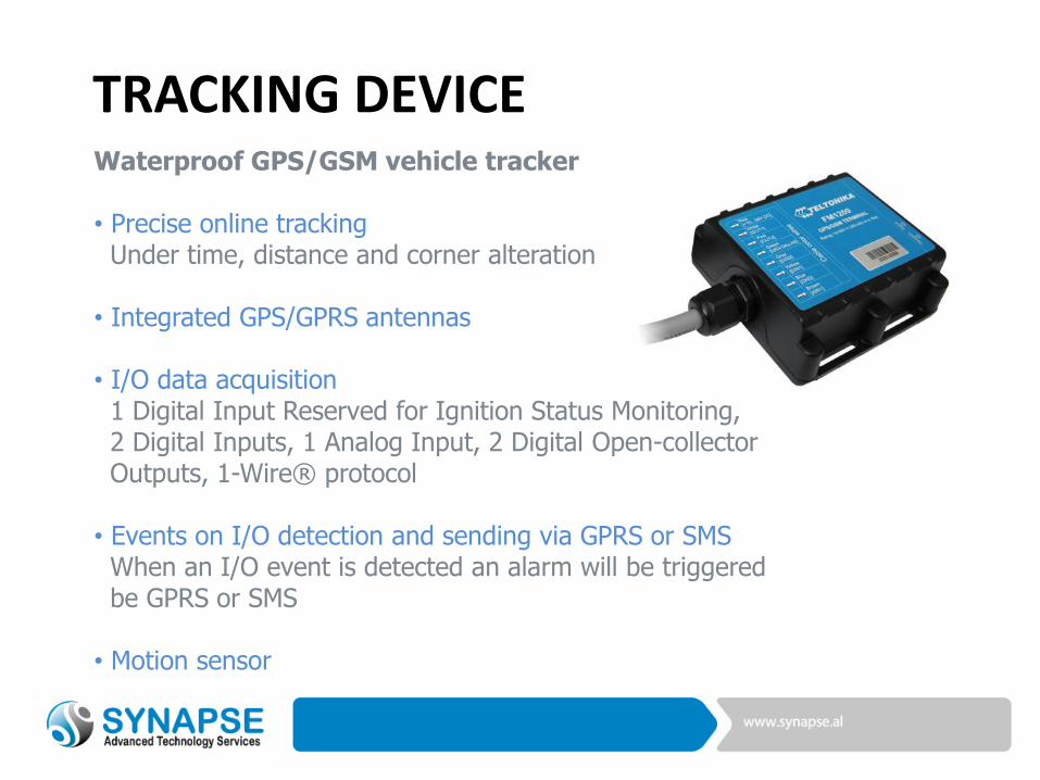
TRACKING DEVICEWaterproof GPS/GSM vehicle tracker
• Precise online trackingUnder time, distance and corner alteration
• Integrated GPS/GPRS antennas
• I/O data acquisition1 Digital Input Reserved for Ignition Status Monitoring, 2 Digital Inputs, 1 Analog Input, 2 Digital Open-collector Outputs, 1-Wire® protocol
• Events on I/O detection and sending via GPRS or SMSWhen an I/O event is detected an alarm will be triggered be GPRS or SMS
• Motion sensor
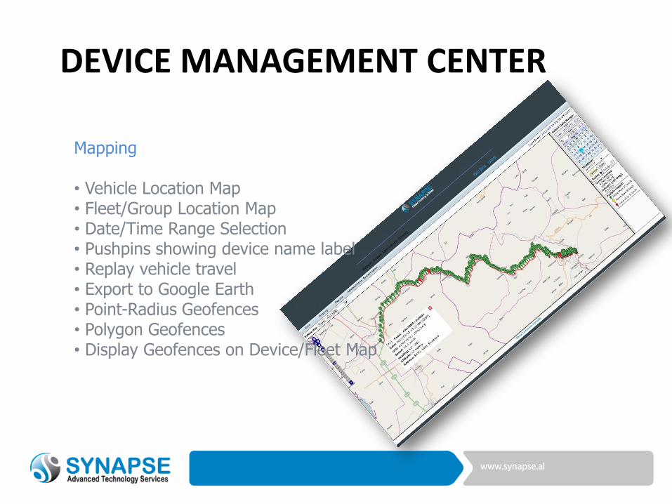
DEVICE MANAGEMENT CENTER
Mapping
• Vehicle Location Map• Fleet/Group Location Map• Date/Time Range Selection• Pushpins showing device name label• Replay vehicle travel• Export to Google Earth• Point-Radius Geofences• Polygon Geofences• Display Geofences on Device/Fleet Map
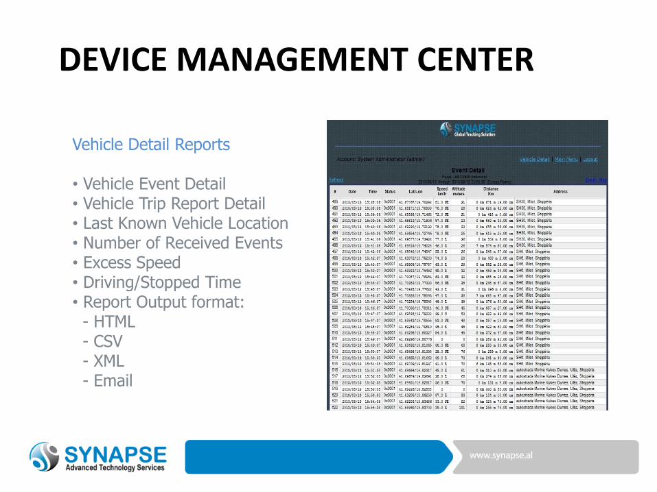
DEVICE MANAGEMENT CENTER
Vehicle Detail Reports
• Vehicle Event Detail• Vehicle Trip Report Detail• Last Known Vehicle Location• Number of Received Events• Excess Speed• Driving/Stopped Time• Report Output format:
- HTML- CSV- XML- Email
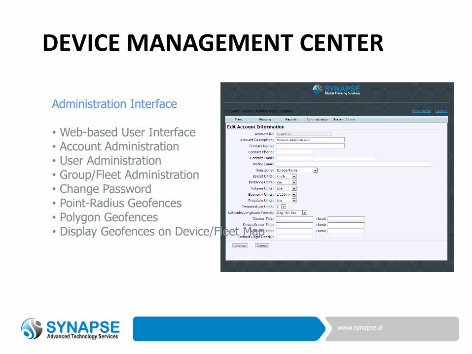
DEVICE MANAGEMENT CENTER
Administration Interface
• Web-based User Interface• Account Administration• User Administration• Group/Fleet Administration• Change Password• Point-Radius Geofences• Polygon Geofences• Display Geofences on Device/Fleet Map
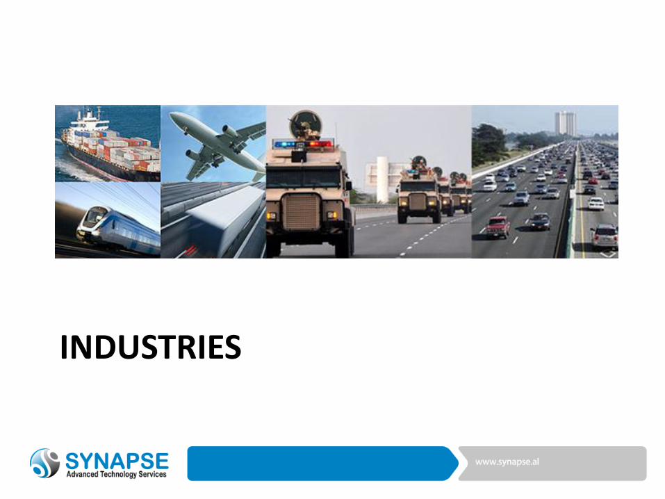
INDUSTRIES
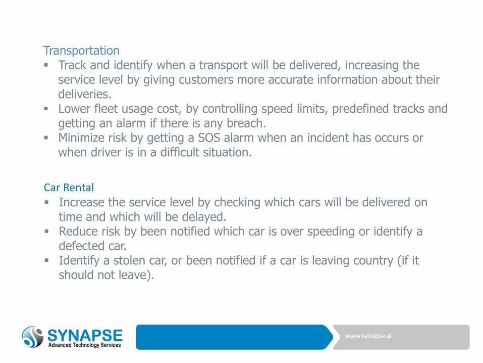
Transportation Track and identify when a transport will be delivered, increasing the
service level by giving customers more accurate information about their deliveries.
Lower fleet usage cost, by controlling speed limits, predefined tracks and getting an alarm if there is any breach.
Minimize risk by getting a SOS alarm when an incident has occurs or when driver is in a difficult situation.
Car Rental
Increase the service level by checking which cars will be delivered on time and which will be delayed.
Reduce risk by been notified which car is over speeding or identify a defected car.
Identify a stolen car, or been notified if a car is leaving country (if it should not leave).
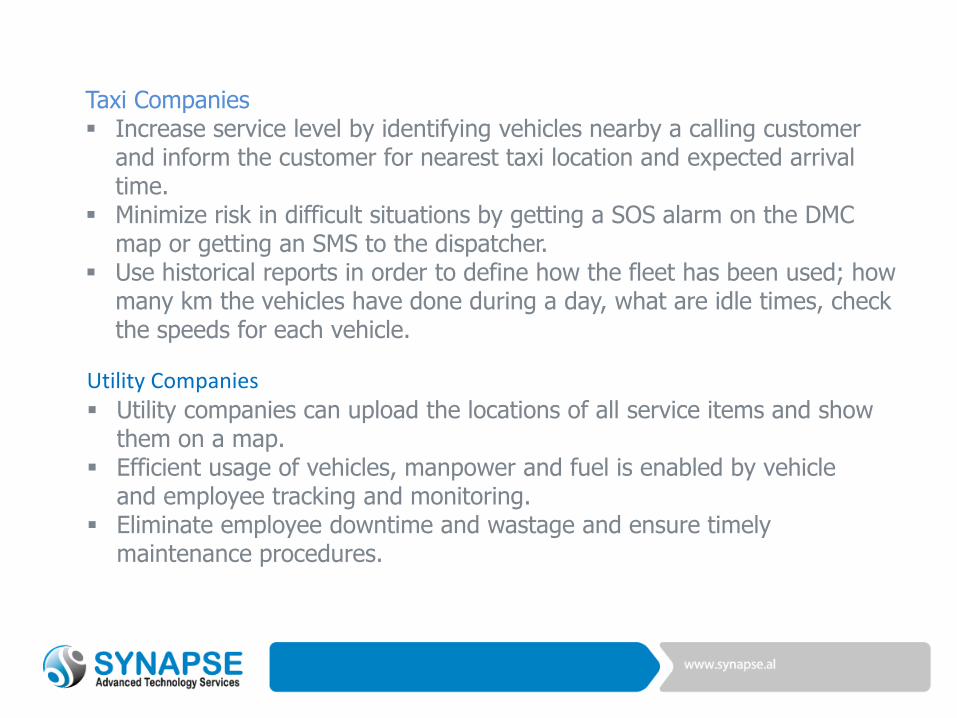
Taxi Companies Increase service level by identifying vehicles nearby a calling customer
and inform the customer for nearest taxi location and expected arrival time.
Minimize risk in difficult situations by getting a SOS alarm on the DMC map or getting an SMS to the dispatcher.
Use historical reports in order to define how the fleet has been used; how many km the vehicles have done during a day, what are idle times, check the speeds for each vehicle.
Utility Companies
Utility companies can upload the locations of all service items and show them on a map.
Efficient usage of vehicles, manpower and fuel is enabled by vehicle and employee tracking and monitoring.
Eliminate employee downtime and wastage and ensure timely maintenance procedures.