Embed Size (px)
Citation preview
IntellinQ © 20159‐12‐2015 1
IntellinQ
Managing and processing massive amounts of maritime point cloud data with GeolinQ
Milan Uitentuis and Mark Terlien
IntellinQ © 2015
Contents
• Spatial data management for maritime point clouds
• Challenges:• Changing data and metadata definitions• Querying and viewing point clouds• Easy sharing of point cloud data • High performance and easy administration
• GeolinQ as integrated point cloud management solution
IntellinQ © 2015
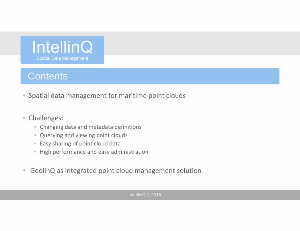
Spatial Data Management
• What is Maritime Spatial Data Management?• Making spatial data discoverable, accessible and usable by a variety of users and applications • Integration of maritime datasets into information products for:
• Safe navigation• Morphological analysis• Coastal zone management• Offshore engineering• Environmental impact assessment
• Importance of metadata (traceability, liability)
IntellinQ © 2015
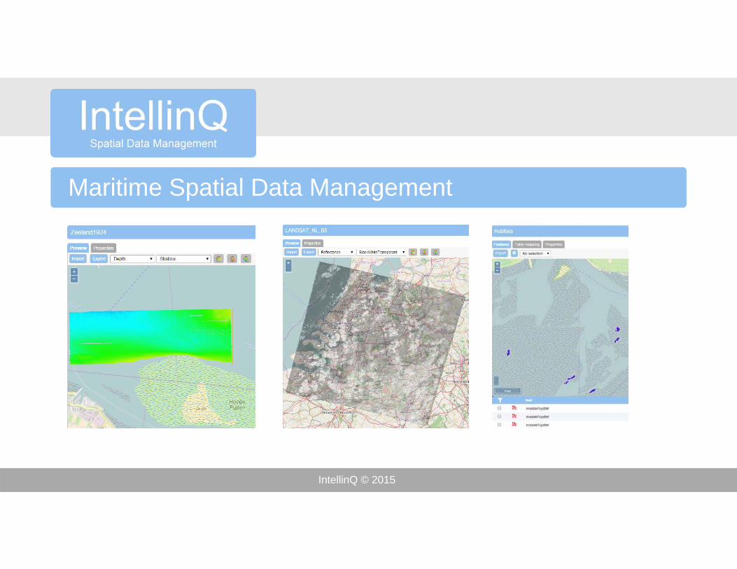
Maritime Spatial Data Management
IntellinQ © 2015
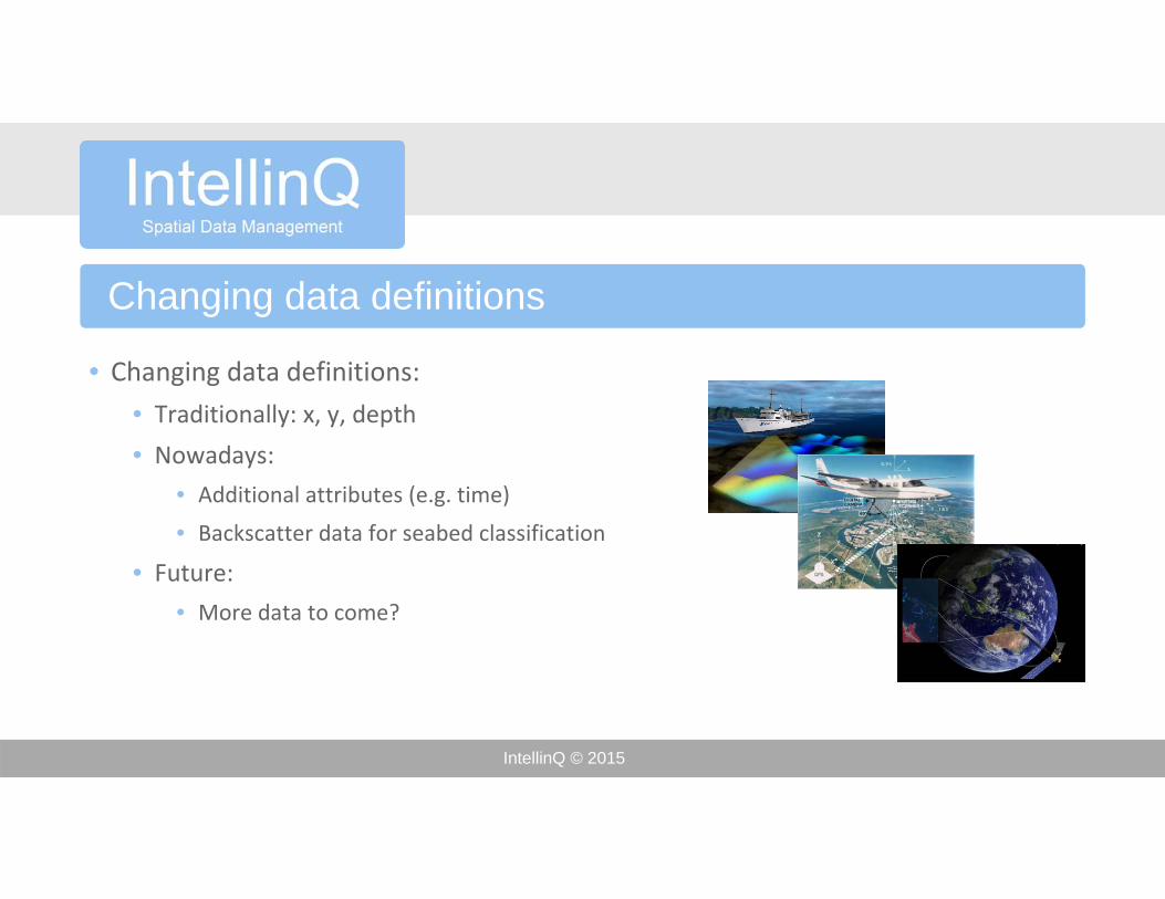
Changing data definitions
• Changing data definitions:
• Traditionally: x, y, depth
• Nowadays:
• Additional attributes (e.g. time)
• Backscatter data for seabed classification
• Future:
• More data to come?
IntellinQ © 2015
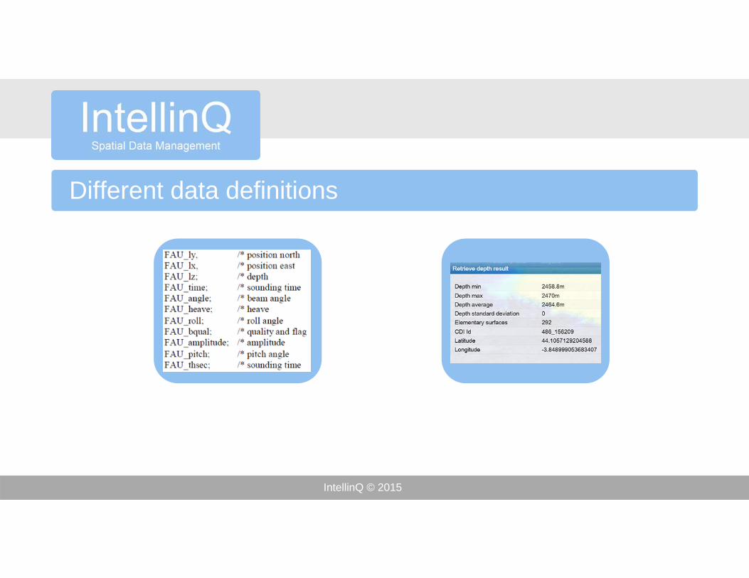
Different data definitions
IntellinQ © 2015
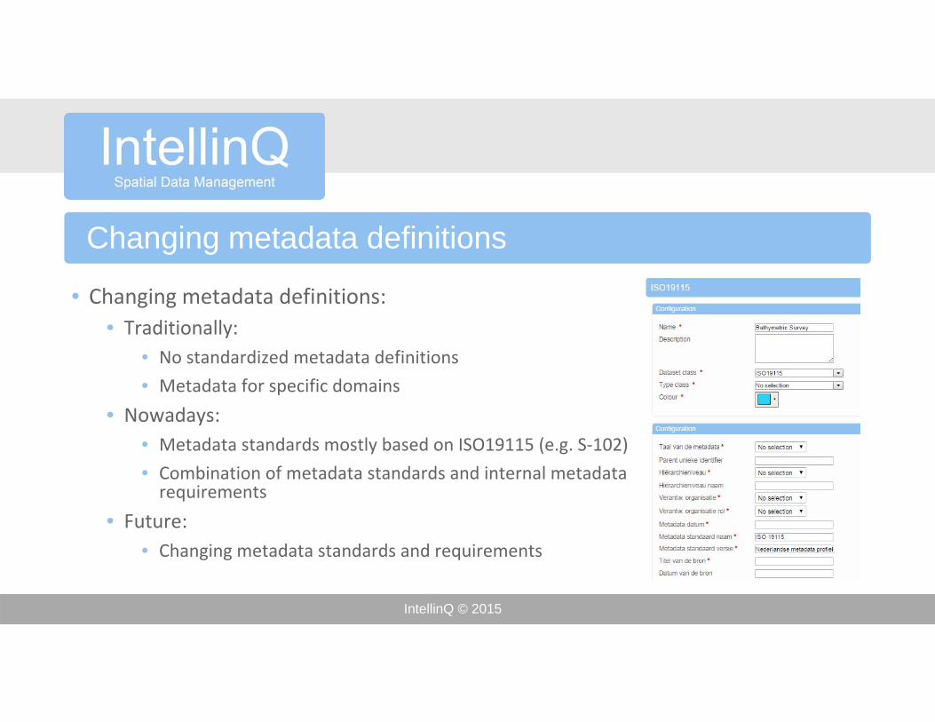
Changing metadata definitions
• Changing metadata definitions:• Traditionally:
• No standardized metadata definitions
• Metadata for specific domains
• Nowadays:• Metadata standards mostly based on ISO19115 (e.g. S‐102)
• Combination of metadata standards and internal metadata requirements
• Future:• Changing metadata standards and requirements
IntellinQ © 2015
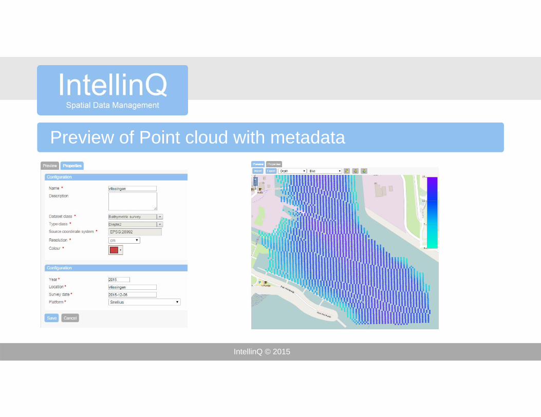
Preview of Point cloud with metadata
IntellinQ © 2015
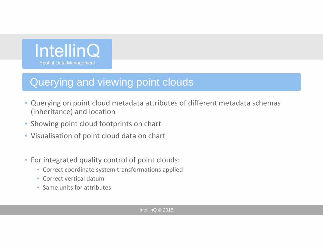
Querying and viewing point clouds
• Querying on point cloud metadata attributes of different metadata schemas (inheritance) and location
• Showing point cloud footprints on chart
• Visualisation of point cloud data on chart
• For integrated quality control of point clouds:• Correct coordinate system transformations applied• Correct vertical datum • Same units for attributes
IntellinQ © 2015
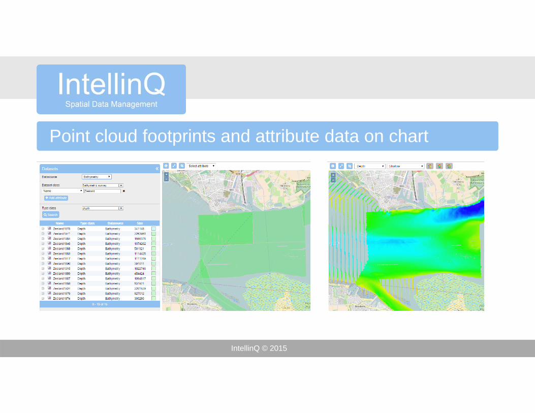
Point cloud footprints and attribute data on chart
IntellinQ © 2015
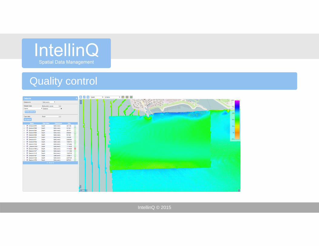
Quality control
IntellinQ © 2015
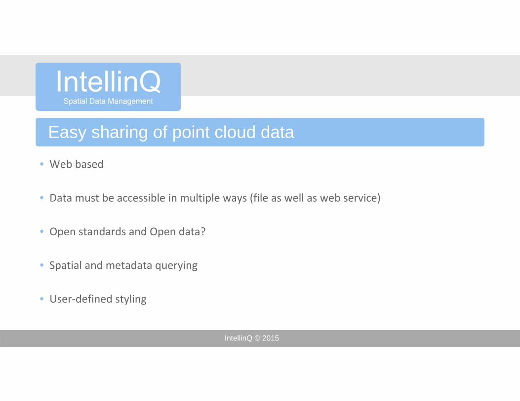
Easy sharing of point cloud data
• Web based
• Data must be accessible in multiple ways (file as well as web service)
• Open standards and Open data?
• Spatial and metadata querying
• User‐defined styling
IntellinQ © 2015
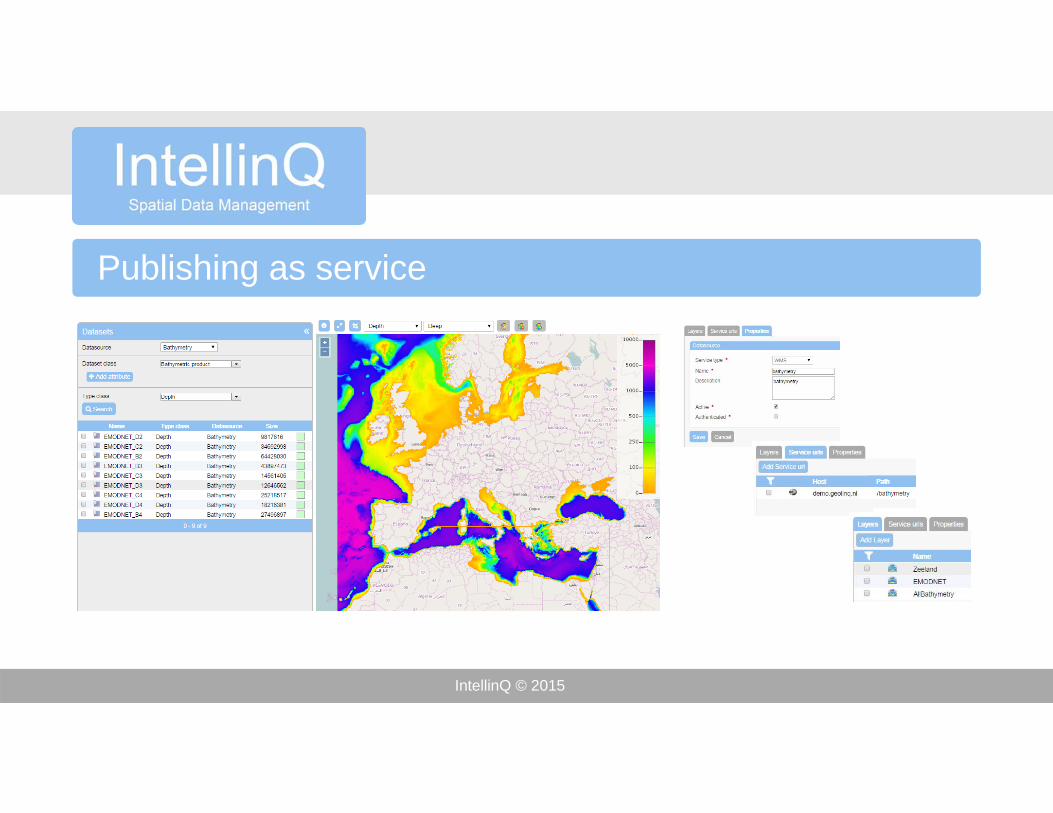
Publishing as service
IntellinQ © 2015
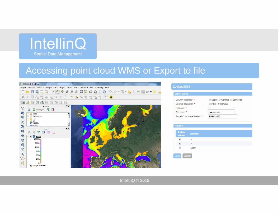
Accessing point cloud WMS or Export to file
IntellinQ © 2015
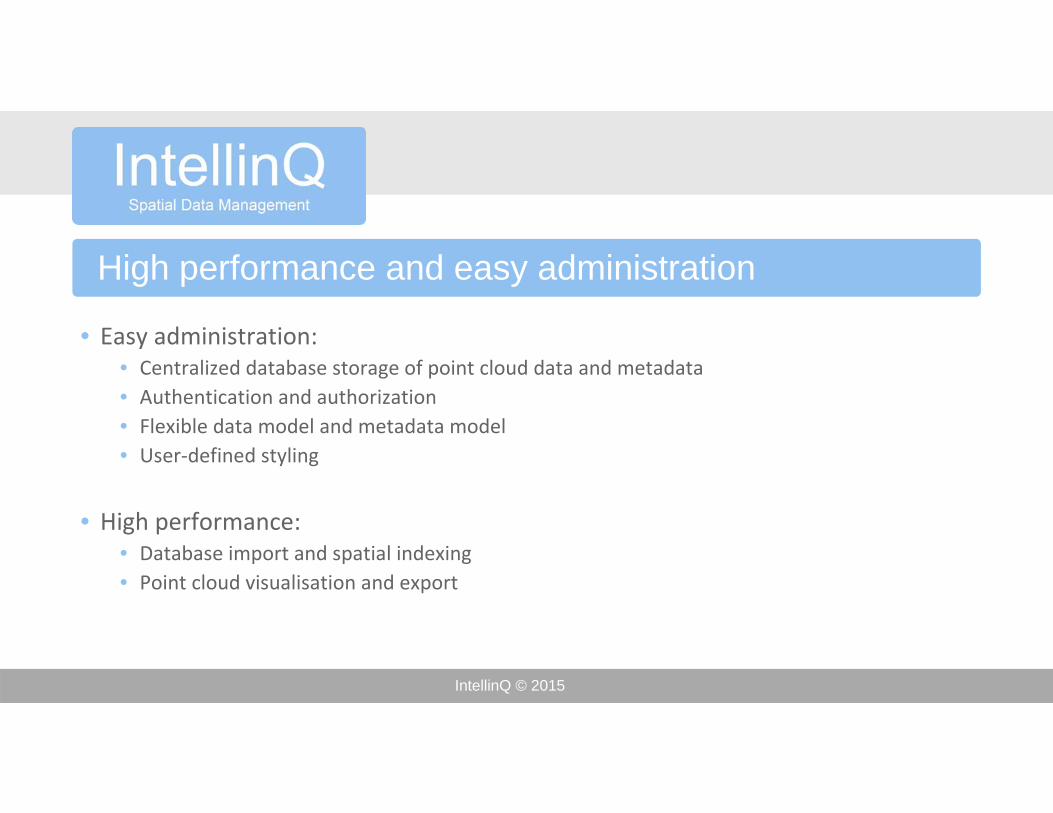
High performance and easy administration
• Easy administration:• Centralized database storage of point cloud data and metadata• Authentication and authorization• Flexible data model and metadata model• User‐defined styling
• High performance:• Database import and spatial indexing• Point cloud visualisation and export
IntellinQ © 2015
Import algorithm
• No limitions on number of points, point cloud size, physical memory of hard disk size
• Algorithm does not require any prior knowledge about number of points or MBR
• Optimized database storage of data chunks, no proprietary data types (database independent)
• Automatic generation of visualisation pyramid
• Automatic delineation of point cloud foot print (TIN)
IntellinQ © 2015
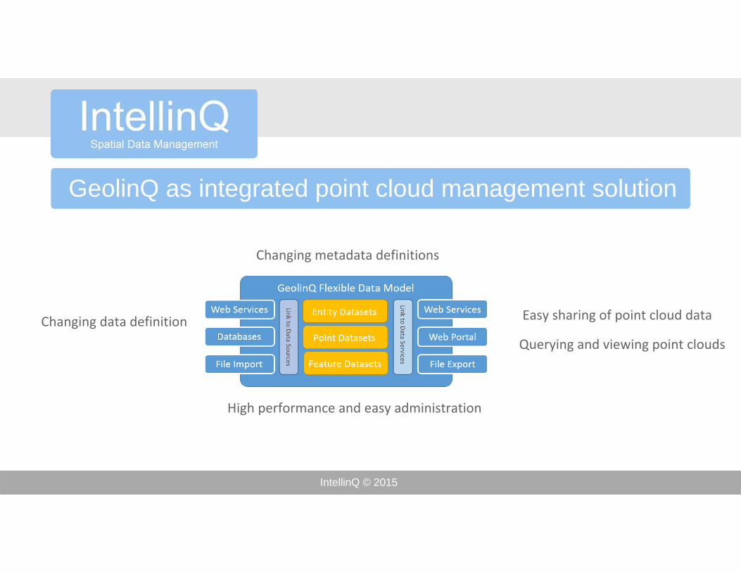
GeolinQ as integrated point cloud management solution
Changing data definitions
Querying and viewing point clouds
Easy sharing of point cloud data
High performance and easy administration
Changing metadata definitions
IntellinQ © 2015
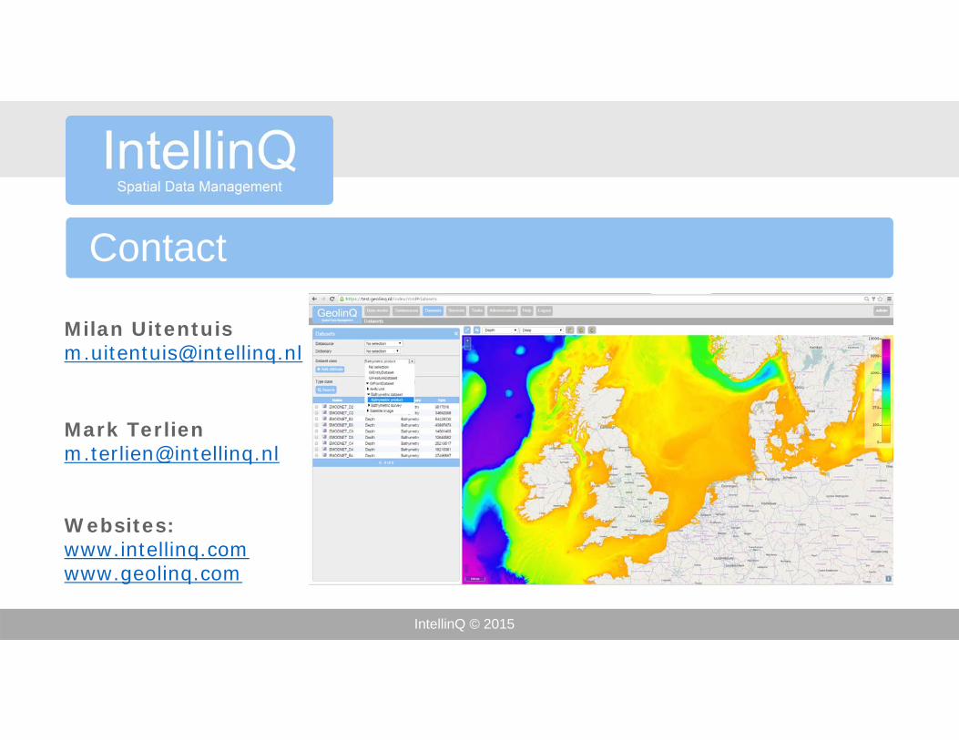
Contact
Milan [email protected]
Mark [email protected]
Websites:www.intellinq.comwww.geolinq.com