Embed Size (px)
Citation preview
16-05-2013
1
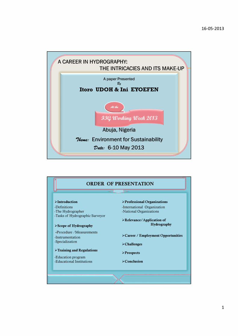
A paper Presented
By
Itoro UDOH & Ini EYOEFEN
Abuja, Nigeria
Theme: Environment for Sustainability
Date: 6-10 May 2013
A CAREER IN HYDROGRAPHY:
THE INTRICACIES AND ITS MAKE-UP
FIG Working Week 2013
At the
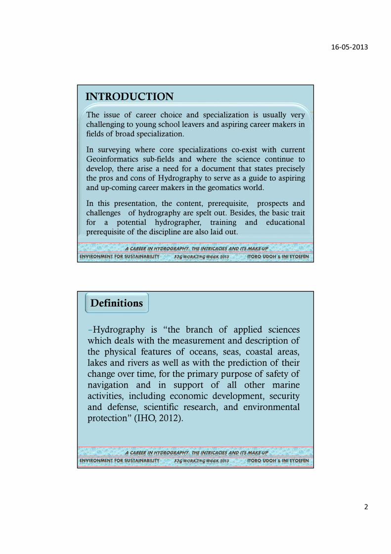
�Introduction
-Definitions
-The Hydrographer
-Tasks of Hydrographic Surveyor
�Scope of Hydrography
-Procedure /Measurements
-Instrumentation
-Specialization
�Training and Regulations
-Education program
-Educational Institutions
�Professional Organizations
-International Organization
-National Organizations
�Relevance/Application of
Hydrography
�Career / Employment Opportunities
�Challenges
�Prospects
�Conclusion
ORDER OF PRESENTATION
16-05-2013
2
INTRODUCTION
A CAREER IN HYDROGRAPHY: THE INTRICACIES AND ITS MAKE-UP
FIG WORKING WEEK 2013 ITORO UDOH & INI EYOEFEN ENVIRONMENT FOR SUSTAINABILITY
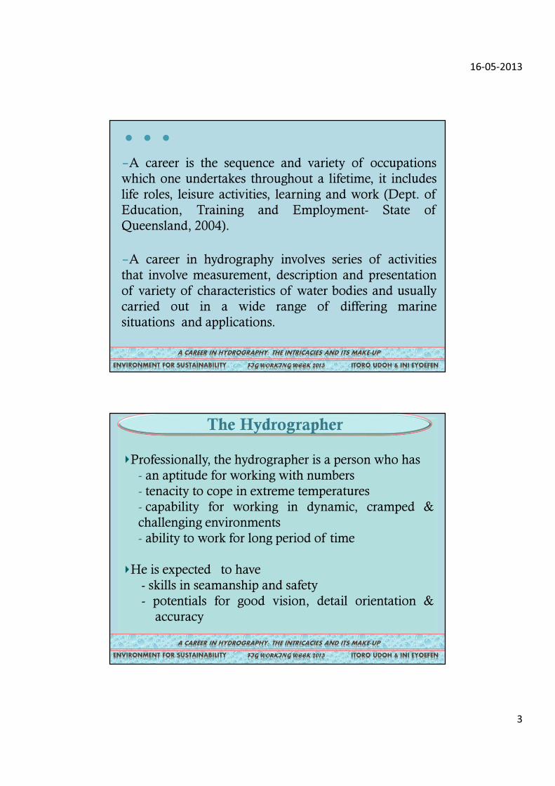
The issue of career choice and specialization is usually very
challenging to young school leavers and aspiring career makers in
fields of broad specialization.
In surveying where core specializations co-exist with current
Geoinformatics sub-fields and where the science continue to
develop, there arise a need for a document that states precisely
the pros and cons of Hydrography to serve as a guide to aspiring
and up-coming career makers in the geomatics world.
In this presentation, the content, prerequisite, prospects and
challenges of hydrography are spelt out. Besides, the basic trait
for a potential hydrographer, training and educational
prerequisite of the discipline are also laid out.
–Hydrography is “the branch of applied sciences
which deals with the measurement and description of
the physical features of oceans, seas, coastal areas,
lakes and rivers as well as with the prediction of their
change over time, for the primary purpose of safety of
navigation and in support of all other marine
activities, including economic development, security
and defense, scientific research, and environmental
protection” (IHO, 2012).
Definitions
A CAREER IN HYDROGRAPHY: THE INTRICACIES AND ITS MAKE-UP
FIG WORKING WEEK 2013 ITORO UDOH & INI EYOEFEN ENVIRONMENT FOR SUSTAINABILITY
16-05-2013
3
–A career is the sequence and variety of occupations
which one undertakes throughout a lifetime, it includes
life roles, leisure activities, learning and work (Dept. of
Education, Training and Employment- State of
Queensland, 2004).
–A career in hydrography involves series of activities
that involve measurement, description and presentation
of variety of characteristics of water bodies and usually
carried out in a wide range of differing marine
situations and applications.
ENVIRONMENT FOR SUSTAINABILITY
A CAREER IN HYDROGRAPHY: THE INTRICACIES AND ITS MAKE-UP
FIG WORKING WEEK 2013 ITORO UDOH & INI EYOEFEN ENVIRONMENT FOR SUSTAINABILITY
…
Professionally, the hydrographer is a person who has
- an aptitude for working with numbers
- tenacity to cope in extreme temperatures
- capability for working in dynamic, cramped &
challenging environments
- ability to work for long period of time
He is expected to have
- skills in seamanship and safety
- potentials for good vision, detail orientation &
accuracy
The Hydrographer
A CAREER IN HYDROGRAPHY: THE INTRICACIES AND ITS MAKE-UP
FIG WORKING WEEK 2013 ITORO UDOH & INI EYOEFEN ENVIRONMENT FOR SUSTAINABILITY
16-05-2013
4
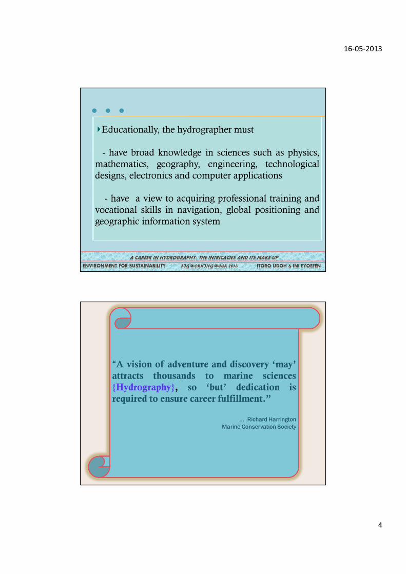
Educationally, the hydrographer must
- have broad knowledge in sciences such as physics,
mathematics, geography, engineering, technological
designs, electronics and computer applications
- have a view to acquiring professional training and
vocational skills in navigation, global positioning and
geographic information system
A CAREER IN HYDROGRAPHY: THE INTRICACIES AND ITS MAKE-UP
FIG WORKING WEEK 2013 ITORO UDOH & INI EYOEFEN ENVIRONMENT FOR SUSTAINABILITY
…
“A vision of adventure and discovery ‘may’
attracts thousands to marine sciences
{Hydrography}, so ‘but’ dedication is
required to ensure career fulfillment.”
... Richard Harrington
Marine Conservation Society
16-05-2013
5
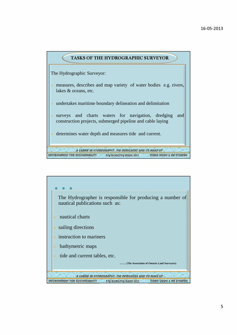
The Hydrographic Surveyor:
� measures, describes and map variety of water bodies e.g. rivers,lakes & oceans, etc.
� undertakes maritime boundary delineation and delimitation
� surveys and charts waters for navigation, dredging andconstruction projects, submerged pipeline and cable laying
� determines water depth and measures tide and current.
TASKS OF THE HYDROGRAPHIC SURVEYOR
A CAREER IN HYDROGRAPHY: THE INTRICACIES AND ITS MAKE-UP
FIG WORKING WEEK 2013 ITORO UDOH & INI EYOEFEN ENVIRONMENT FOR SUSTAINABILITY
The Hydrographer is responsible for producing a number ofnautical publications such as:
� nautical charts
� sailing directions
� instruction to mariners
� bathymetric maps
� tide and current tables, etc.…. (The Association of Ontario Land Surveyors)
A CAREER IN HYDROGRAPHY: THE INTRICACIES AND ITS MAKE-UP
FIG WORKING WEEK 2013 ITORO UDOH & INI EYOEFEN ENVIRONMENT FOR SUSTAINABILITY
…
16-05-2013
6
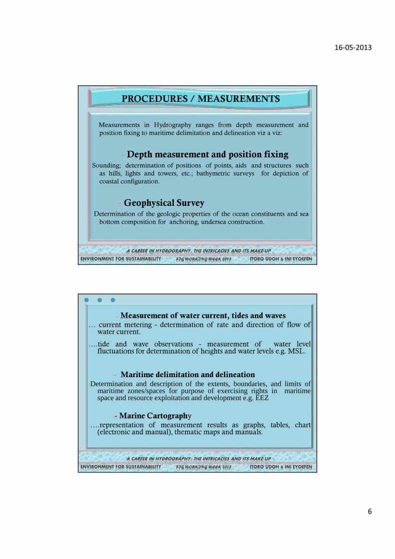
Measurements in Hydrography ranges from depth measurement and
position fixing to maritime delimitation and delineation viz a viz:
- Depth measurement and position fixingSounding; determination of positions of points, aids and structures such
as hills, lights and towers, etc.; bathymetric surveys for depiction of
coastal configuration.
- Geophysical SurveyDetermination of the geologic properties of the ocean constituents and sea
bottom composition for anchoring, undersea construction.
PROCEDURES / MEASUREMENTS
A CAREER IN HYDROGRAPHY: THE INTRICACIES AND ITS MAKE-UP
FIG WORKING WEEK 2013 ITORO UDOH & INI EYOEFEN ENVIRONMENT FOR SUSTAINABILITY
PROCEDURES / MEASUREMENTS
- Measurement of water current, tides and waves… current metering - determination of rate and direction of flow of
water current.
….tide and wave observations - measurement of water levelfluctuations for determination of heights and water levels e.g. MSL.
- Maritime delimitation and delineationDetermination and description of the extents, boundaries, and limits of
maritime zones/spaces for purpose of exercising rights in maritimespace and resource exploitation and development e.g. EEZ
- Marine Cartography….representation of measurement results as graphs, tables, chart
(electronic and manual), thematic maps and manuals.
A CAREER IN HYDROGRAPHY: THE INTRICACIES AND ITS MAKE-UP
FIG WORKING WEEK 2013 ITORO UDOH & INI EYOEFEN ENVIRONMENT FOR SUSTAINABILITY
…
16-05-2013
7
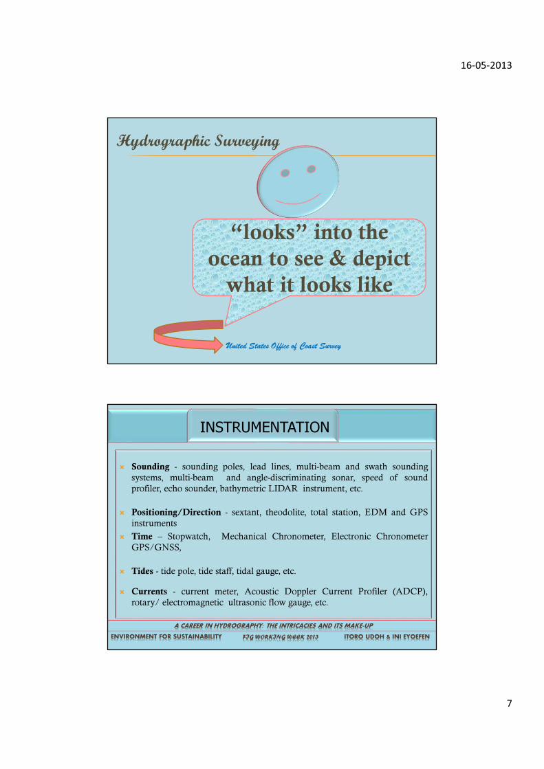
United States Office of Coast Survey
“looks” into the
ocean to see & depict
what it looks like
Hydrographic Surveying
� Sounding - sounding poles, lead lines, multi-beam and swath sounding
systems, multi-beam and angle-discriminating sonar, speed of sound
profiler, echo sounder, bathymetric LIDAR instrument, etc.
� Positioning/Direction - sextant, theodolite, total station, EDM and GPS
instruments
� Time – Stopwatch, Mechanical Chronometer, Electronic Chronometer
GPS/GNSS,
� Tides - tide pole, tide staff, tidal gauge, etc.
� Currents - current meter, Acoustic Doppler Current Profiler (ADCP),
rotary/ electromagnetic ultrasonic flow gauge, etc.
A CAREER IN HYDROGRAPHY: THE INTRICACIES AND ITS MAKE-UP
FIG WORKING WEEK 2013 ITORO UDOH & INI EYOEFEN ENVIRONMENT FOR SUSTAINABILITY
INSTRUMENTATION
16-05-2013
8
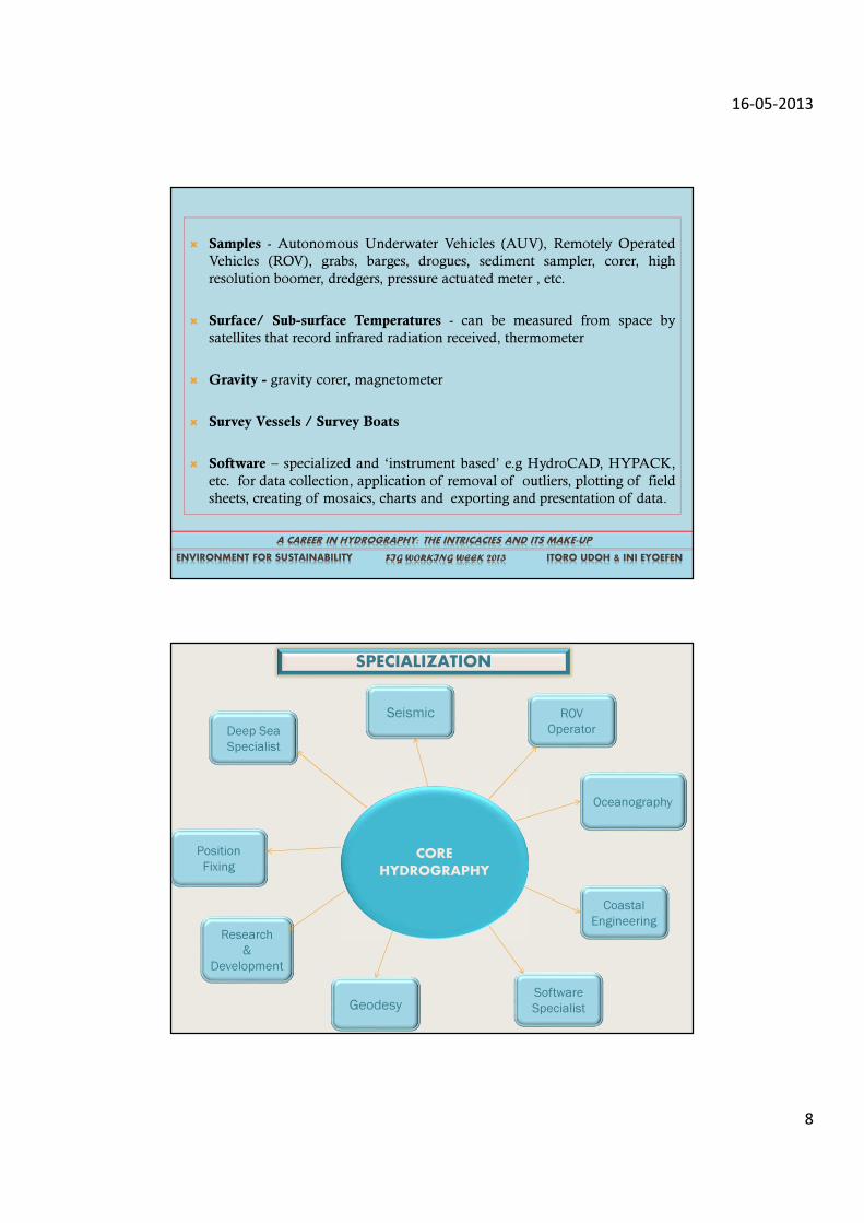
� Samples - Autonomous Underwater Vehicles (AUV), Remotely Operated
Vehicles (ROV), grabs, barges, drogues, sediment sampler, corer, high
resolution boomer, dredgers, pressure actuated meter , etc.
� Surface/ Sub-surface Temperatures - can be measured from space by
satellites that record infrared radiation received, thermometer
� Gravity - gravity corer, magnetometer
� Survey Vessels / Survey Boats
� Software – specialized and ‘instrument based’ e.g HydroCAD, HYPACK,
etc. for data collection, application of removal of outliers, plotting of field
sheets, creating of mosaics, charts and exporting and presentation of data.
A CAREER IN HYDROGRAPHY: THE INTRICACIES AND ITS MAKE-UP
FIG WORKING WEEK 2013 ITORO UDOH & INI EYOEFEN ENVIRONMENT FOR SUSTAINABILITY
Deep Sea
Specialist
CORE
HYDROGRAPHY
Position
Fixing
Research
&
Development
GeodesySoftware
Specialist
Coastal
Engineering
Seismic ROV
Operator
Oceanography
SPECIALIZATION
16-05-2013
9
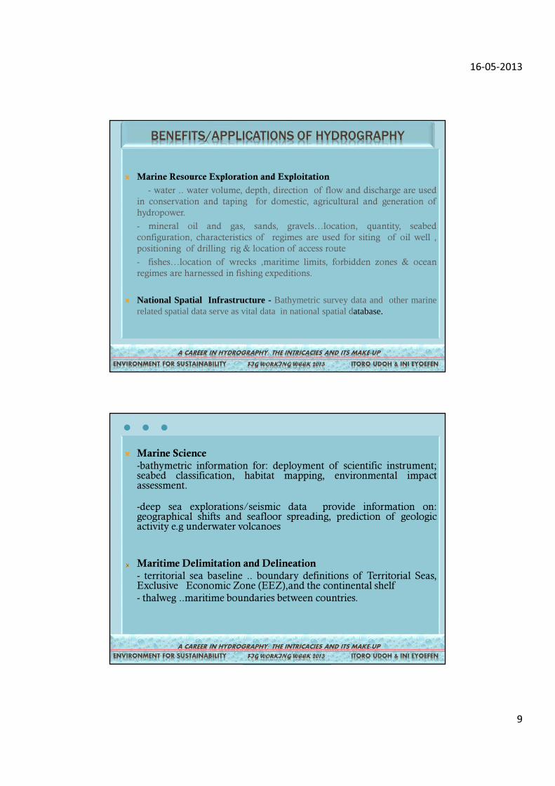
� Marine Resource Exploration and Exploitation
- water .. water volume, depth, direction of flow and discharge are used
in conservation and taping for domestic, agricultural and generation of
hydropower.
- mineral oil and gas, sands, gravels…location, quantity, seabed
configuration, characteristics of regimes are used for siting of oil well ,
positioning of drilling rig & location of access route
- fishes…location of wrecks ,maritime limits, forbidden zones & ocean
regimes are harnessed in fishing expeditions.
� National Spatial Infrastructure - Bathymetric survey data and other marinerelated spatial data serve as vital data in national spatialdatabase.
A CAREER IN HYDROGRAPHY: THE INTRICACIES AND ITS MAKE-UP
FIG WORKING WEEK 2013 ITORO UDOH & INI EYOEFEN ENVIRONMENT FOR SUSTAINABILITY
BENEFITS/APPLICATIONS OF HYDROGRAPHY
� Marine Science
-bathymetric information for: deployment of scientific instrument;seabed classification, habitat mapping, environmental impactassessment.
-deep sea explorations/seismic data provide information on:geographical shifts and seafloor spreading, prediction of geologicactivity e.g underwater volcanoes
Maritime Delimitation and Delineation
- territorial sea baseline .. boundary definitions of Territorial Seas,Exclusive Economic Zone (EEZ),and the continental shelf
- thalweg ..maritime boundaries between countries.
…
A CAREER IN HYDROGRAPHY: THE INTRICACIES AND IT MAKE-UP
FIG WORKING WEEK 2013 ITORO UDOH & INI EYOEFEN ENVIRONMENT FOR SUSTAINABILITY
A CAREER IN HYDROGRAPHY: THE INTRICACIES AND ITS MAKE-UP
FIG WORKING WEEK 2013 ITORO UDOH & INI EYOEFEN ENVIRONMENT FOR SUSTAINABILITY
16-05-2013
10
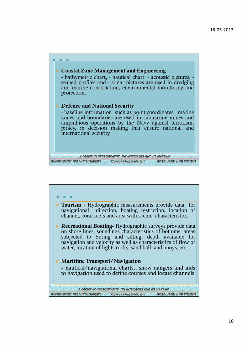
� Coastal Zone Management and Engineering
- bathymetric chart, - nautical chart, - acoustic pictures, -seabed profiles and - sonar pictures are used in dredgingand marine construction, environmental monitoring andprotection.
� Defence and National Security
- baseline information such as point coordinates, marinezones and boundaries are used in submarine mines andamphibious operations by the Navy against terrorism,piracy, in decision making that ensure national andinternational security.
A CAREER IN HYDROGRAPHY: THE INTRICACIES AND ITS MAKE-UP
FIG WORKING WEEK 2013 ITORO UDOH & INI EYOEFEN ENVIRONMENT FOR SUSTAINABILITY
…
� Tourism - Hydrographic measurements provide data fornavigational direction, boating restriction, location ofchannel, coral reefs and area with scenic characteristics
� Recreational Boating- Hydrographic surveys provide dataon shore lines, soundings characteristics of bottoms, areassubjected to Suring and silting, depth available fornavigation and velocity as well as characteristics of flow ofwater, location of lights rocks, sand ball and buoys, etc.
� Maritime Transport/Navigation
- nautical/navigational charts…show dangers and aidsto navigation used to define courses and locate channels
A CAREER IN HYDROGRAPHY: THE INTRICACIES AND ITS MAKE-UP
FIG WORKING WEEK 2013 ITORO UDOH & INI EYOEFEN ENVIRONMENT FOR SUSTAINABILITY
…
16-05-2013
11
A CAREER IN HYDROGRAPHY: THE INTRICACIES AND ITS MAKE-UP
FIG WORKING WEEK 2013 ITORO UDOH & INI EYOEFEN ENVIRONMENT FOR SUSTAINABILITY
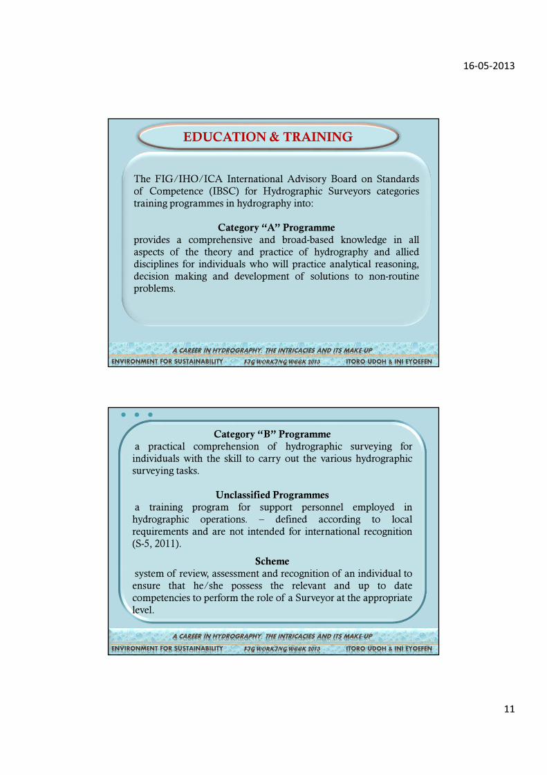
The FIG/IHO/ICA International Advisory Board on Standards
of Competence (IBSC) for Hydrographic Surveyors categories
training programmes in hydrography into:
Category “A” Programme
provides a comprehensive and broad-based knowledge in all
aspects of the theory and practice of hydrography and allied
disciplines for individuals who will practice analytical reasoning,
decision making and development of solutions to non-routine
problems.
EDUCATION & TRAINING
Category “B” Programme
a practical comprehension of hydrographic surveying for
individuals with the skill to carry out the various hydrographic
surveying tasks.
Unclassified Programmes
a training program for support personnel employed in
hydrographic operations. – defined according to local
requirements and are not intended for international recognition
(S-5, 2011).
Scheme
system of review, assessment and recognition of an individual to
ensure that he/she possess the relevant and up to date
competencies to perform the role of a Surveyor at the appropriate
level.
A CAREER IN HYDROGRAPHY: THE INTRICACIES AND ITS MAKE-UP
FIG WORKING WEEK 2013 ITORO UDOH & INI EYOEFEN ENVIRONMENT FOR SUSTAINABILITY
…
16-05-2013
12
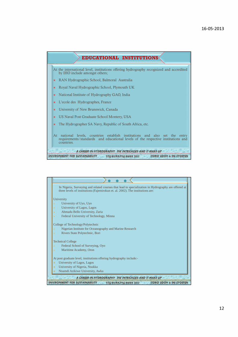
At the international level, institutions offering hydrography recognized and accreditedby IHO include amongst others;
� RAN Hydrographic School, Balmoral Australia
� Royal Naval Hydrographic School, Plymouth UK
� National Institute of Hydrography GAO, India
� L’ecole des Hydrographes, France
� University of New Brunswick, Canada
� US Naval Post Graduate School Montery, USA
� The Hydrographer SA Navy, Republic of South Africa, etc.
At national levels, countries establish institutions and also set the entryrequirements/standards and educational levels of the respective institutions andcountries.
A CAREER IN HYDROGRAPHY: THE INTRICACIES AND IT MAKE-UP
FIG WORKING WEEK 2013 ITORO UDOH & INI EYOEFEN ENVIRONMENT FOR SUSTAINABILITY
EDUCATIONAL INSTITUTIONS
In Nigeria, Surveying and related courses that lead to specialization in Hydrography are offered atthree levels of institutions (Fajemirokun et. al. 2002). The institutions are:
University� University of Uyo, Uyo� University of Lagos, Lagos� Ahmadu Bello University, Zaria� Federal University of Technology, Minna
College of Technology/Polytechnic� Nigerian Institute for Oceanography and Marine Research� Rivers State Polytechnic, Bori
Technical College� Federal School of Surveying, Oyo� Maritime Academy, Oron
At post graduate level, institutions offering hydrography include:-� University of Lagos, Lagos� University of Nigeria, Nsukka� Nnamdi Azikiwe University, Awka
A CAREER IN HYDROGRAPHY: THE INTRICACIES AND IT MAKE-UP
FIG WORKING WEEK 2013 ITORO UDOH & INI EYOEFEN ENVIRONMENT FOR SUSTAINABILITY
…
16-05-2013
13
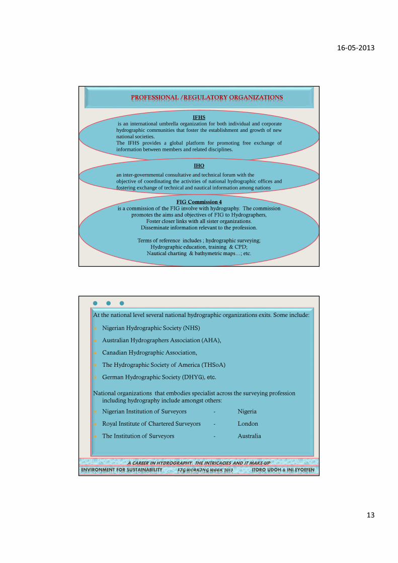
PROFESSIONAL /REGULATORY ORGANIZATIONS
FIG Commission 4
is a commission of the FIG involve with hydrography. The commission
promotes the aims and objectives of FIG to Hydrographers,
Foster closer links with all sister organizations.
Disseminate information relevant to the profession.
Terms of reference includes ; hydrographic surveying;
Hydrographic education, training & CPD;
Nautical charting & bathymetric maps…; etc.
IFHSis an international umbrella organization for both individual and corporatehydrographic communities that foster the establishment and growth of newnational societies.The IFHS provides a global platform for promoting free exchange ofinformation between members and related disciplines.
IHO
an inter-governmental consultative and technical forum with theobjective of coordinating the activities of national hydrographic offices andfostering exchange of technical and nautical information among nations
At the national level several national hydrographic organizations exits. Some include:
� Nigerian Hydrographic Society (NHS)
� Australian Hydrographers Association (AHA),
� Canadian Hydrographic Association,
� The Hydrographic Society of America (THSoA)
� German Hydrographic Society (DHYG), etc.
National organizations that embodies specialist across the surveying profession
including hydrography include amongst others:
� Nigerian Institution of Surveyors - Nigeria
� Royal Institute of Chartered Surveyors - London
� The Institution of Surveyors - Australia
A CAREER IN HYDROGRAPHY: THE INTRICACIES AND IT MAKE-UP
FIG WORKING WEEK 2013 ITORO UDOH & INI EYOEFEN ENVIRONMENT FOR SUSTAINABILITY
…
16-05-2013
14
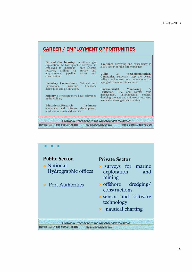
CAREER / EMPLOYMENT OPPORTUNITIES
Oil and Gas Industry: In oil and gasexploration, the hydrographic surveyor isemployed to undertake deep seismicresearch, drilling rig survey andemplacement, pipeline survey andconstruction.
Boundary Commissions: National andInternational maritime boundarydelineation and delimitation,
Military : Hydrographers have relevancein the Military
Educational/Research Institutes:equipment and software development,academic research and studies
Freelance surveying and consultancy isalso a sector of high career prospect
.Utility & telecommunicationsCompanies, surveyors map the peaks,valleys, and obstructions on seafloors forlaying of communications lines.
Environmental Monitoring &Protection. EEZ and coastal zonemanagement, environmental studies,dredging projects and shipwreck recovery,nautical and navigational charting.
A CAREER IN HYDROGRAPHY: THE INTRICACIES AND IT MAKE-UP
FIG WORKING WEEK 2013 ITORO UDOH & INI EYOEFEN ENVIRONMENT FOR SUSTAINABILITY
Public Sector
�NationalHydrographic offices
� Port Authorities
Private Sector
� surveys for marineexploration andmining
� offshore dredging/constructions
� sensor and softwaretechnology
� nautical charting
…
ITORO UDOH & INI EYOEFEN
A CAREER IN HYDROGRAPHY: THE INTRICACIES AND IT MAKE-UP
FIG WORKING WEEK 2013 ENVIRONMENT FOR SUSTAINABILITY
16-05-2013
15
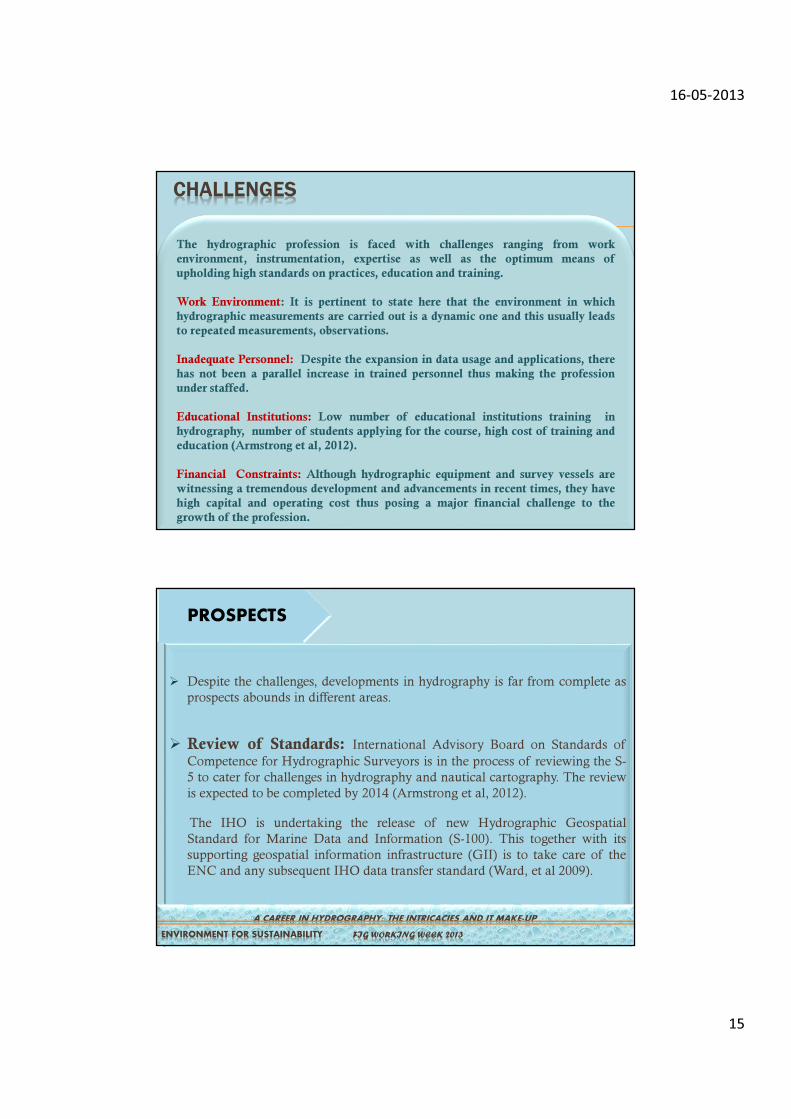
CHALLENGES
The hydrographic profession is faced with challenges ranging from work
environment, instrumentation, expertise as well as the optimum means of
upholding high standards on practices, education and training.
Work Environment: It is pertinent to state here that the environment in which
hydrographic measurements are carried out is a dynamic one and this usually leads
to repeated measurements, observations.
Inadequate Personnel: Despite the expansion in data usage and applications, there
has not been a parallel increase in trained personnel thus making the profession
under staffed.
Educational Institutions: Low number of educational institutions training in
hydrography, number of students applying for the course, high cost of training and
education (Armstrong et al, 2012).
Financial Constraints: Although hydrographic equipment and survey vessels are
witnessing a tremendous development and advancements in recent times, they have
high capital and operating cost thus posing a major financial challenge to the
growth of the profession.
� Despite the challenges, developments in hydrography is far from complete as
prospects abounds in different areas.
� Review of Standards: International Advisory Board on Standards of
Competence for Hydrographic Surveyors is in the process of reviewing the S-
5 to cater for challenges in hydrography and nautical cartography. The review
is expected to be completed by 2014 (Armstrong et al, 2012).
The IHO is undertaking the release of new Hydrographic Geospatial
Standard for Marine Data and Information (S-100). This together with its
supporting geospatial information infrastructure (GII) is to take care of the
ENC and any subsequent IHO data transfer standard (Ward, et al 2009).
PROSPECTS
A CAREER IN HYDROGRAPHY: THE INTRICACIES AND IT MAKE-UP
FIG WORKING WEEK 2013 ENVIRONMENT FOR SUSTAINABILITY
16-05-2013
16
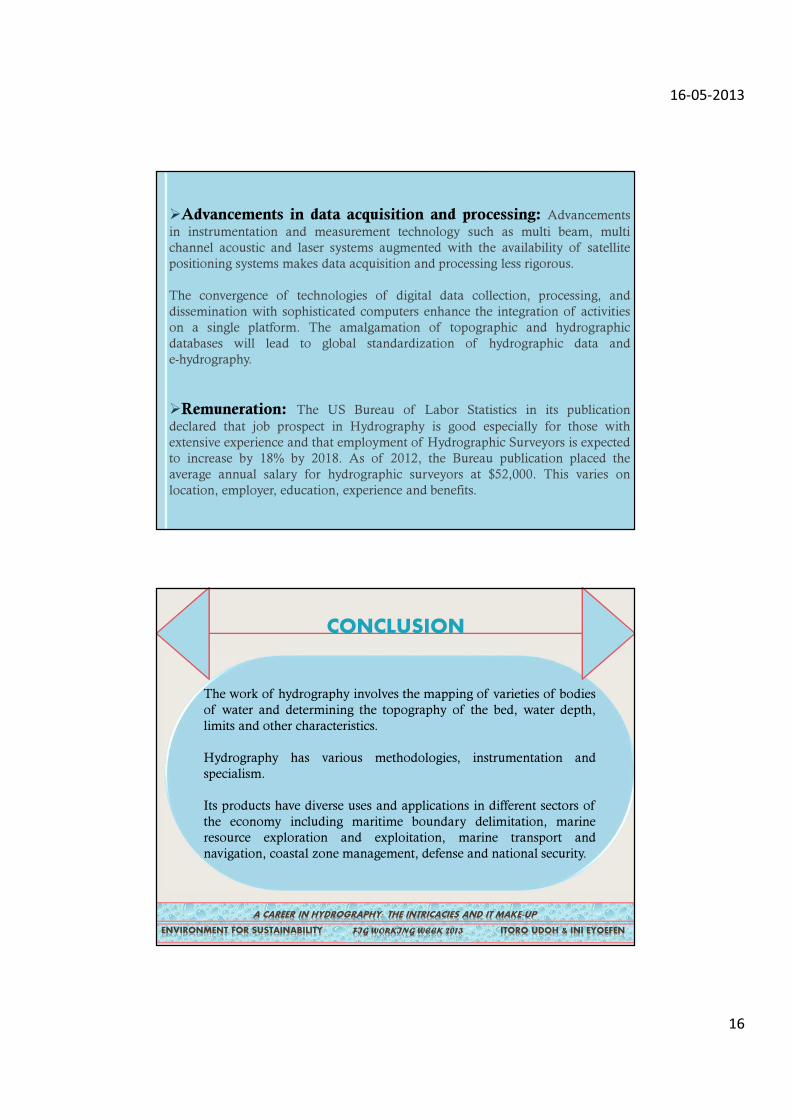
�Advancements in data acquisition and processing: Advancements
in instrumentation and measurement technology such as multi beam, multi
channel acoustic and laser systems augmented with the availability of satellite
positioning systems makes data acquisition and processing less rigorous.
The convergence of technologies of digital data collection, processing, and
dissemination with sophisticated computers enhance the integration of activities
on a single platform. The amalgamation of topographic and hydrographic
databases will lead to global standardization of hydrographic data and
e-hydrography.
�Remuneration: The US Bureau of Labor Statistics in its publication
declared that job prospect in Hydrography is good especially for those with
extensive experience and that employment of Hydrographic Surveyors is expected
to increase by 18% by 2018. As of 2012, the Bureau publication placed the
average annual salary for hydrographic surveyors at $52,000. This varies on
location, employer, education, experience and benefits.
The work of hydrography involves the mapping of varieties of bodies
of water and determining the topography of the bed, water depth,
limits and other characteristics.
Hydrography has various methodologies, instrumentation and
specialism.
Its products have diverse uses and applications in different sectors of
the economy including maritime boundary delimitation, marine
resource exploration and exploitation, marine transport and
navigation, coastal zone management, defense and national security.
A CAREER IN HYDROGRAPHY: THE INTRICACIES AND IT MAKE-UP
FIG WORKING WEEK 2013 ITORO UDOH & INI EYOEFEN ENVIRONMENT FOR SUSTAINABILITY
CONCLUSION
16-05-2013
17
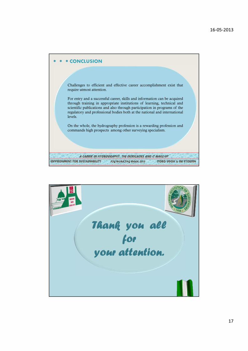
Challenges to efficient and effective career accomplishment exist that
require utmost attention.
For entry and a successful career, skills and information can be acquired
through training in appropriate institutions of learning, technical and
scientific publications and also through participation in programs of the
regulatory and professional bodies both at the national and international
levels.
On the whole, the hydrography profession is a rewarding profession and
commands high prospects among other surveying specialism.
A CAREER IN HYDROGRAPHY: THE INTRICACIES AND IT MAKE-UP
FIG WORKING WEEK 2013 ITORO UDOH & INI EYOEFEN ENVIRONMENT FOR SUSTAINABILITY
…
CONCLUSION
Thank you all
for
your attention.