Embed Size (px)
Citation preview
(A)ATSR instrument series
Prof. José Pereira
Tuesday 4 September 2007, Lecture D2L3-2
04/09/2007 Lecture D2L3-2 (A)ATSR instrument José Pereira 2
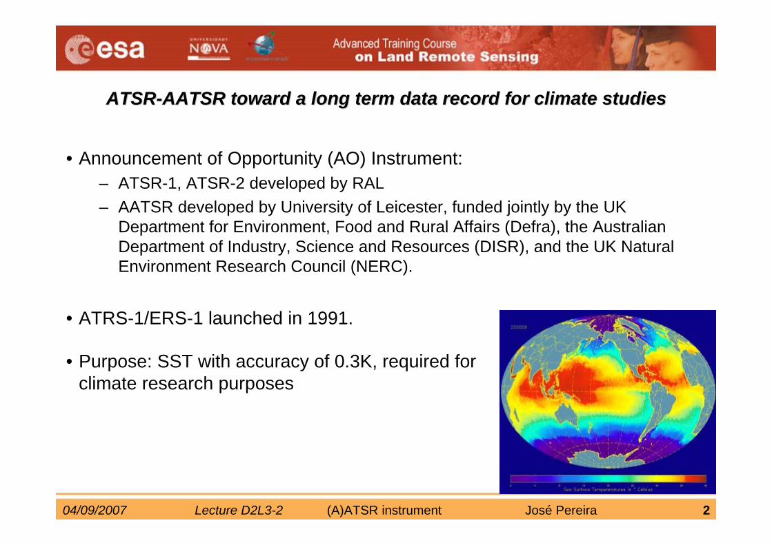
ATSRATSR--AATSR toward a long term data record for climate studiesAATSR toward a long term data record for climate studies
• Announcement of Opportunity (AO) Instrument:– ATSR-1, ATSR-2 developed by RAL– AATSR developed by University of Leicester, funded jointly by the UK
Department for Environment, Food and Rural Affairs (Defra), the Australian Department of Industry, Science and Resources (DISR), and the UK Natural Environment Research Council (NERC).
• ATRS-1/ERS-1 launched in 1991.
• Purpose: SST with accuracy of 0.3K, required for climate research purposes
04/09/2007 Lecture D2L3-2 (A)ATSR instrument José Pereira 3
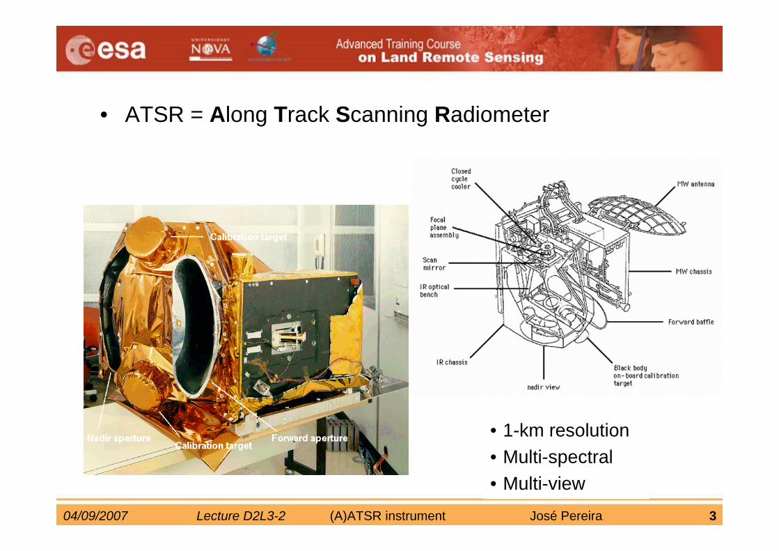
• ATSR = Along Track Scanning Radiometer
• 1-km resolution• Multi-spectral• Multi-view
04/09/2007 Lecture D2L3-2 (A)ATSR instrument José Pereira 4
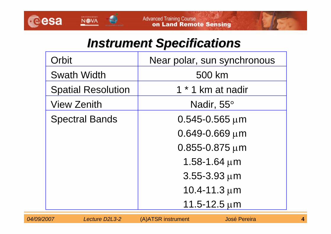
Instrument SpecificationsInstrument Specifications
0.545-0.565 μm0.649-0.669 μm0.855-0.875 μm1.58-1.64 μm3.55-3.93 μm10.4-11.3 μm11.5-12.5 μm
Spectral BandsNadir, 55°View Zenith
1 * 1 km at nadirSpatial Resolution 500 kmSwath Width
Near polar, sun synchronousOrbit
04/09/2007 Lecture D2L3-2 (A)ATSR instrument José Pereira 5
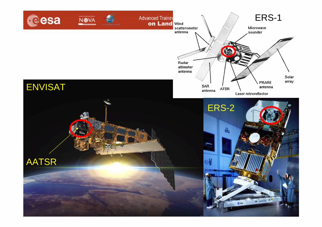
AATSR
ENVISAT
ERS-1
ERS-2
04/09/2007 Lecture D2L3-2 (A)ATSR instrument José Pereira 6
Purpose of the Dual View
• ATSR sensors are designed to measure surface temperaturewith climate-standard accuracy
• Precise Atmospheric Correction is key to surface radiometry
• Dual View gives a direct indication of the Total Atmospheric effect on a view of surface
04/09/2007 Lecture D2L3-2 (A)ATSR instrument José Pereira 7
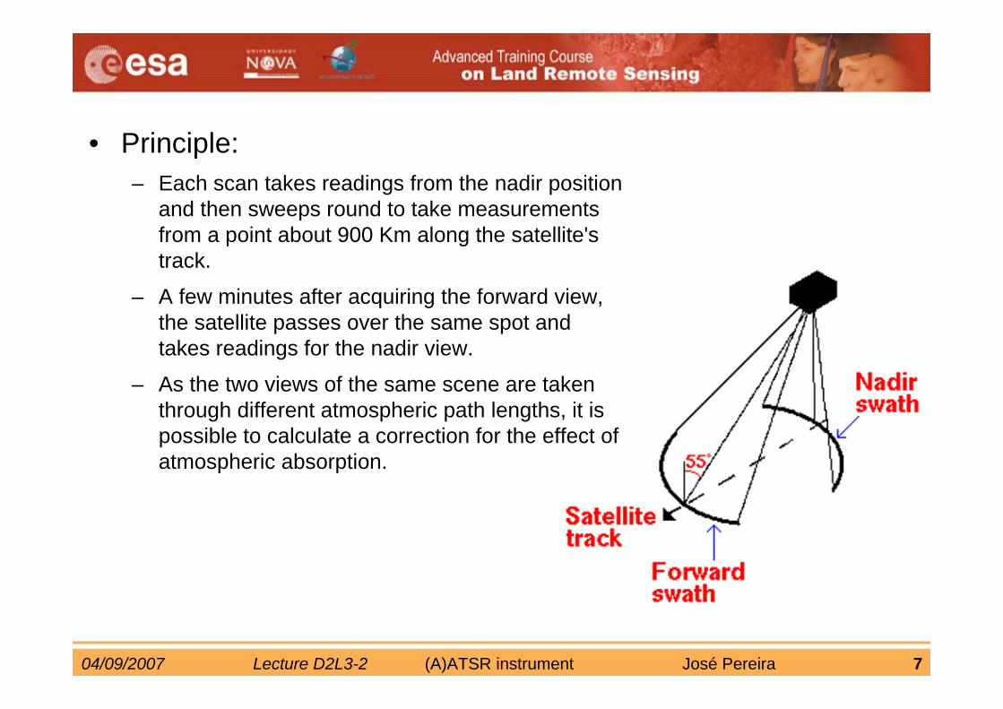
• Principle:– Each scan takes readings from the nadir position
and then sweeps round to take measurements from a point about 900 Km along the satellite's track.
– A few minutes after acquiring the forward view, the satellite passes over the same spot and takes readings for the nadir view.
– As the two views of the same scene are taken through different atmospheric path lengths, it is possible to calculate a correction for the effect of atmospheric absorption.
04/09/2007 Lecture D2L3-2 (A)ATSR instrument José Pereira 8
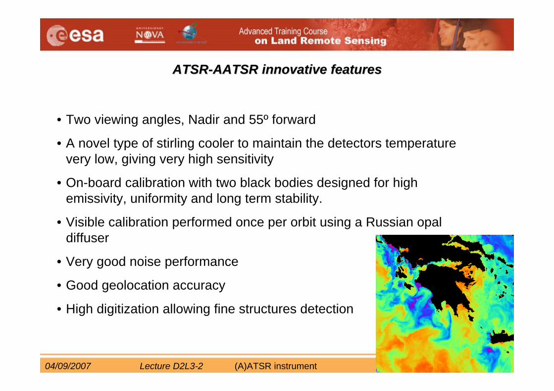
ATSRATSR--AATSR innovative featuresAATSR innovative features
• Two viewing angles, Nadir and 55º forward
• A novel type of stirling cooler to maintain the detectors temperaturevery low, giving very high sensitivity
• On-board calibration with two black bodies designed for high emissivity, uniformity and long term stability.
• Visible calibration performed once per orbit using a Russian opal diffuser
• Very good noise performance
• Good geolocation accuracy
• High digitization allowing fine structures detection
04/09/2007 Lecture D2L3-2 (A)ATSR instrument José Pereira 9
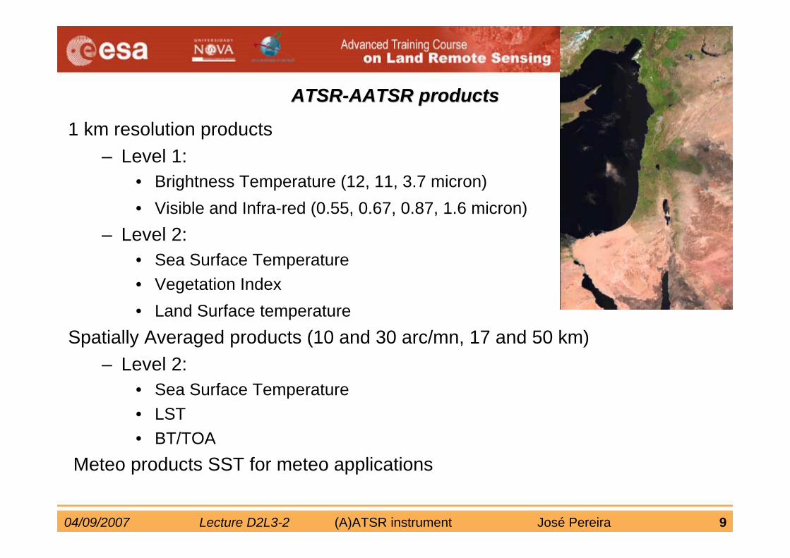
ATSRATSR--AATSR products AATSR products
1 km resolution products– Level 1:
• Brightness Temperature (12, 11, 3.7 micron)• Visible and Infra-red (0.55, 0.67, 0.87, 1.6 micron)
– Level 2:• Sea Surface Temperature• Vegetation Index• Land Surface temperature
Spatially Averaged products (10 and 30 arc/mn, 17 and 50 km)– Level 2:
• Sea Surface Temperature• LST• BT/TOA
Meteo products SST for meteo applications
04/09/2007 Lecture D2L3-2 (A)ATSR instrument José Pereira 10
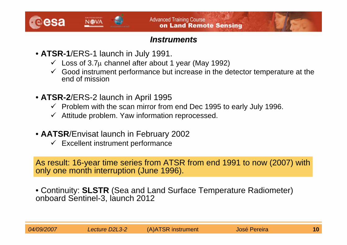
• ATSR-1/ERS-1 launch in July 1991.Loss of 3.7μ channel after about 1 year (May 1992)Good instrument performance but increase in the detector temperature at the end of mission
• ATSR-2/ERS-2 launch in April 1995Problem with the scan mirror from end Dec 1995 to early July 1996. Attitude problem. Yaw information reprocessed.
• AATSR/Envisat launch in February 2002Excellent instrument performance
As result: 16-year time series from ATSR from end 1991 to now (2007) with only one month interruption (June 1996).
• Continuity: SLSTR (Sea and Land Surface Temperature Radiometer) onboard Sentinel-3, launch 2012
InstrumentsInstruments
04/09/2007 Lecture D2L3-2 (A)ATSR instrument José Pereira 11
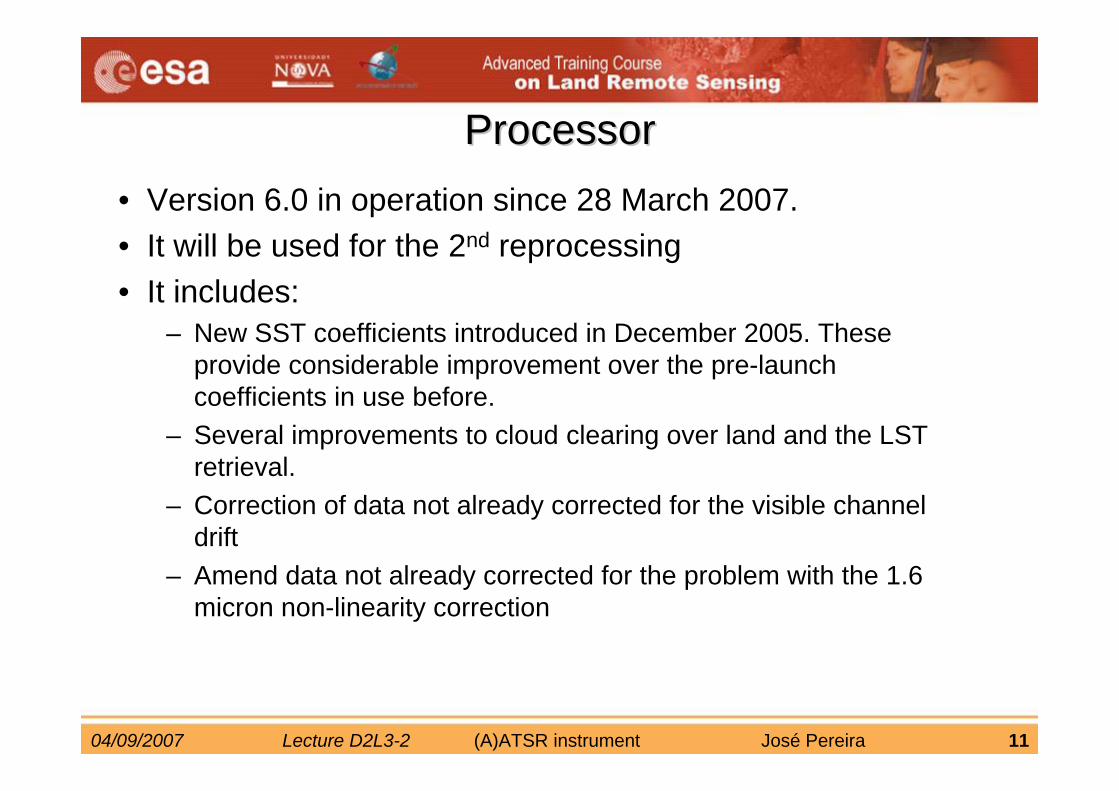
ProcessorProcessor• Version 6.0 in operation since 28 March 2007.• It will be used for the 2nd reprocessing• It includes:
– New SST coefficients introduced in December 2005. These provide considerable improvement over the pre-launch coefficients in use before.
– Several improvements to cloud clearing over land and the LST retrieval.
– Correction of data not already corrected for the visible channel drift
– Amend data not already corrected for the problem with the 1.6 micron non-linearity correction
04/09/2007 Lecture D2L3-2 (A)ATSR instrument José Pereira 12
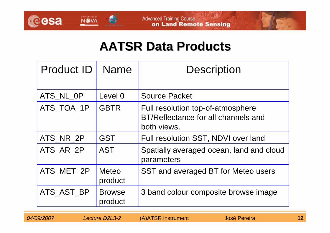
3 band colour composite browse image Browse product
ATS_AST_BP
SST and averaged BT for Meteo usersMeteo product
ATS_MET_2P
Spatially averaged ocean, land and cloud parameters
ASTATS_AR_2PFull resolution SST, NDVI over landGSTATS_NR_2P
Full resolution top-of-atmosphere BT/Reflectance for all channels and both views.
GBTRATS_TOA_1PSource PacketLevel 0ATS_NL_0P
DescriptionNameProduct ID
AATSR Data ProductsAATSR Data Products
04/09/2007 Lecture D2L3-2 (A)ATSR instrument José Pereira 13
• Image examples

04/09/2007 Lecture D2L3-2 (A)ATSR instrument José Pereira 14
Typhoon Saomai, East China sea,13 September 2000
11micron night-time
Indus Valley, Pakistan,
12 June 2003
Ganges delta
Visible bands (land)
thermal bands (sea)
04/09/2007 Lecture D2L3-2 (A)ATSR instrument José Pereira 15
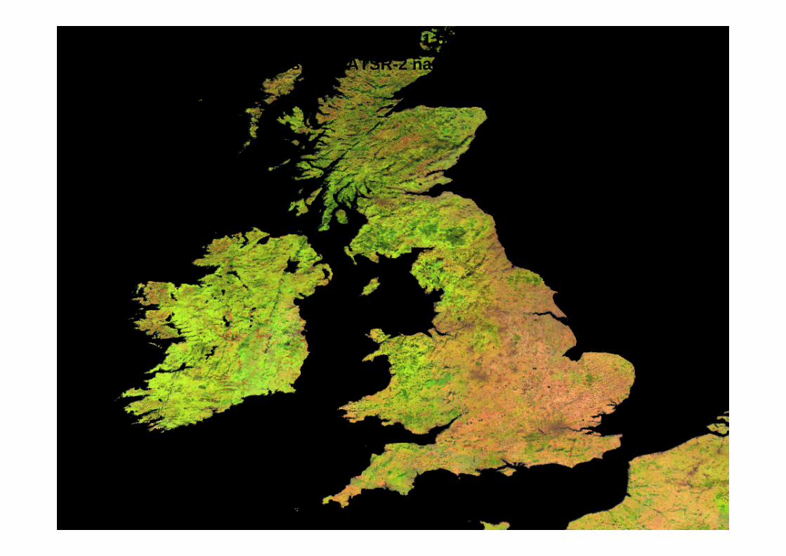
• False colour composite mosaic, (RGB) = (1.6micron, 0.87micron, 0.55 micron)• Constructed using images from ATSR-2 nadir view, July and- August 1995.
04/09/2007 Lecture D2L3-2 (A)ATSR instrument José Pereira 16
• Examples of applications

04/09/2007 Lecture D2L3-2 (A)ATSR instrument José Pereira 17
• Sea Surface Temperatures, 1-km• 1-15 August 2007 off the Portuguese coasts
SST global map, July 2003
04/09/2007 Lecture D2L3-2 (A)ATSR instrument José Pereira 18
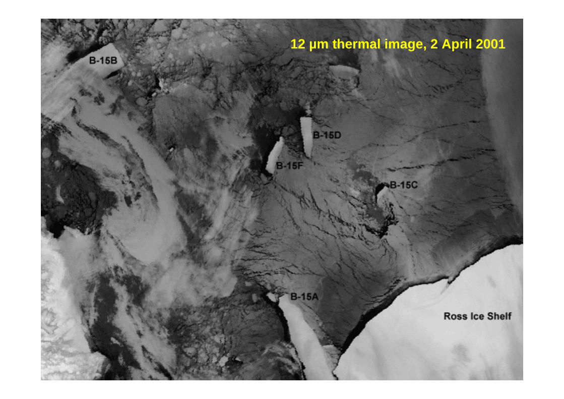
12 µm thermal image, 2 April 2001
04/09/2007 Lecture D2L3-2 (A)ATSR instrument José Pereira 19
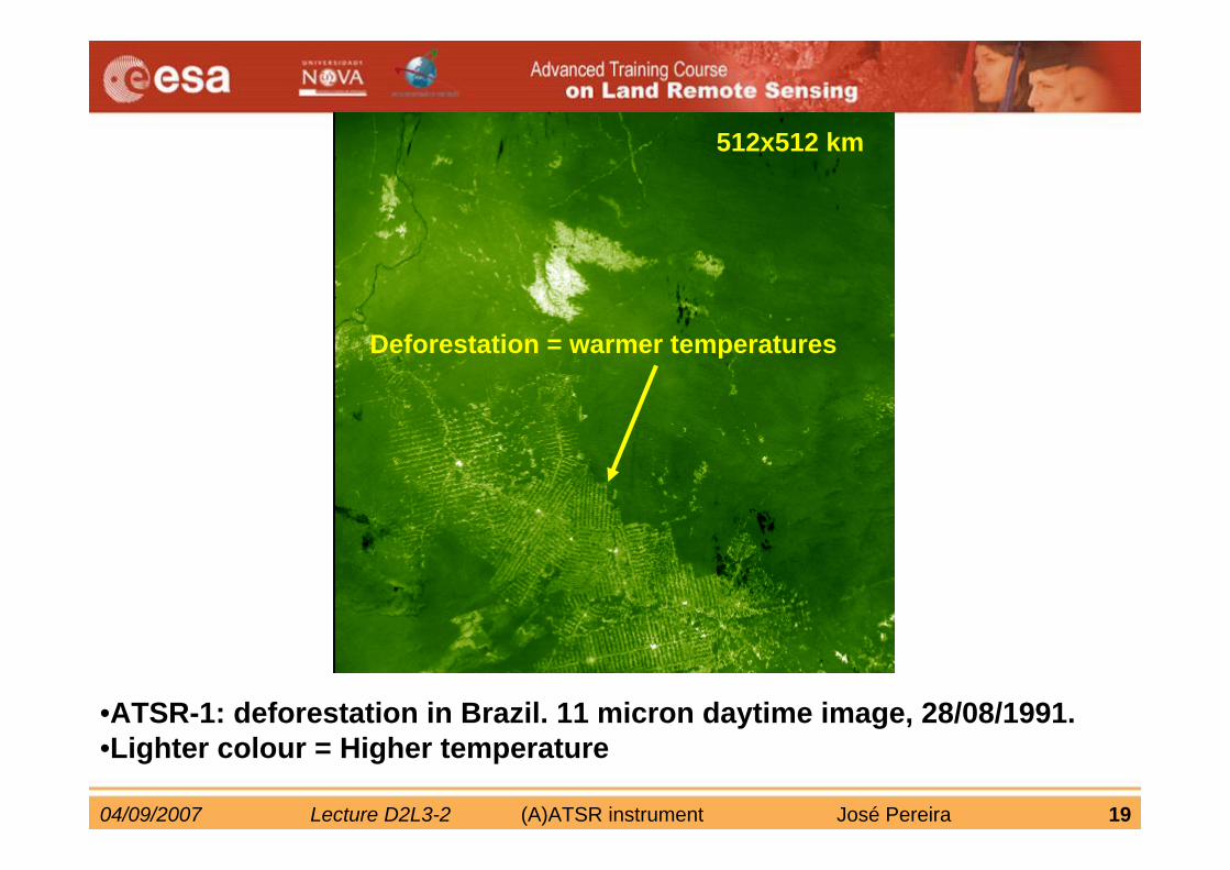
•ATSR-1: deforestation in Brazil. 11 micron daytime image, 28/08/1991.•Lighter colour = Higher temperature
512x512 km
Deforestation = warmer temperatures
04/09/2007 Lecture D2L3-2 (A)ATSR instrument José Pereira 20
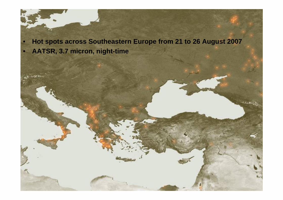
• Hot spots across Southeastern Europe from 21 to 26 August 2007• AATSR, 3.7 micron, night-time
04/09/2007 Lecture D2L3-2 (A)ATSR instrument José Pereira 21
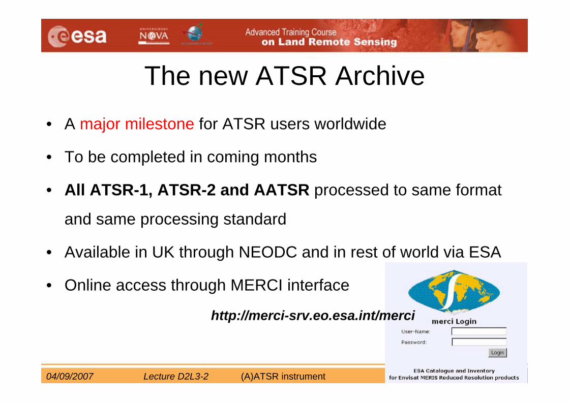
The new ATSR Archive• A major milestone for ATSR users worldwide
• To be completed in coming months
• All ATSR-1, ATSR-2 and AATSR processed to same format
and same processing standard
• Available in UK through NEODC and in rest of world via ESA
• Online access through MERCI interface
http://merci-srv.eo.esa.int/merci
04/09/2007 Lecture D2L3-2 (A)ATSR instrument José Pereira 22
Versions
• Version 1 Summer 2007– ATSR-1/2 in Envisat format– AATSR current processing
• Version 2 Spring 2008– Uniform SST and LST series across all (A)ATSR missions– LST complete time-series– 12 years of visible channel data
NEODC : www.neodc.rl.ac.ukESA: earth.esa.int
04/09/2007 Lecture D2L3-2 (A)ATSR instrument José Pereira 23
• More information:
• ATSR website, Rutherford Laboratory: http://www.atsr.rl.ac.uk/
• AATSR website, Univ. Leicester:http://www.leos.le.ac.uk/aatsr


![UNIVERSIDADE FEDERAL DE MINAS GERAIS ESCOLA DE … Sandra paiv… · Pereira, Sandra Paiva Pereira Ulcera de Marjolim: Revisão Integrativa [manuscrito] / Sandra Paiva Pereira Pereira](https://img.pdfslide.net/doc/110x75/5f2eb68f037caa2ccf63cca1/universidade-federal-de-minas-gerais-escola-de-sandra-paiv-pereira-sandra-paiva.jpg)


![PEREIRA PEREIRA, Jesús ([1995] 2008): 'Dragones y tigres](https://img.pdfslide.net/doc/110x75/6254c3f970f18c40d737ec85/pereira-pereira-jess-1995-2008-dragones-y-tigres-.jpg)