Embed Size (px)
Citation preview
Asia-Pacific Network for Global Change Research
Asia-Pacific Network for Global Change Research
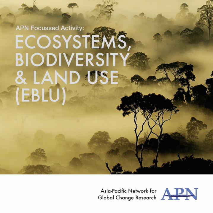
ECOSYSTEMS, BIODIVERSITY & LAND USE (EBLU)
APN Focussed Activity:
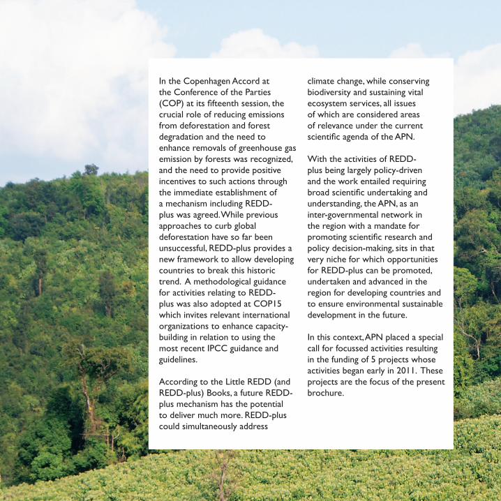
In the Copenhagen Accord at the Conference of the Parties (COP) at its fifteenth session, the crucial role of reducing emissions from deforestation and forest degradation and the need to enhance removals of greenhouse gas emission by forests was recognized, and the need to provide positive incentives to such actions through the immediate establishment of a mechanism including REDD-plus was agreed. While previous approaches to curb global deforestation have so far been unsuccessful, REDD-plus provides a new framework to allow developing countries to break this historic trend. A methodological guidance for activities relating to REDD-plus was also adopted at COP15 which invites relevant international organizations to enhance capacity-building in relation to using the most recent IPCC guidance and guidelines.
According to the Little REDD (and REDD-plus) Books, a future REDD-plus mechanism has the potential to deliver much more. REDD-plus could simultaneously address
climate change, while conserving biodiversity and sustaining vital ecosystem services, all issues of which are considered areas of relevance under the current scientific agenda of the APN.
With the activities of REDD-plus being largely policy-driven and the work entailed requiring broad scientific undertaking and understanding, the APN, as an inter-governmental network in the region with a mandate for promoting scientific research and policy decision-making, sits in that very niche for which opportunities for REDD-plus can be promoted, undertaken and advanced in the region for developing countries and to ensure environmental sustainable development in the future.
In this context, APN placed a special call for focussed activities resulting in the funding of 5 projects whose activities began early in 2011. These projects are the focus of the present brochure.
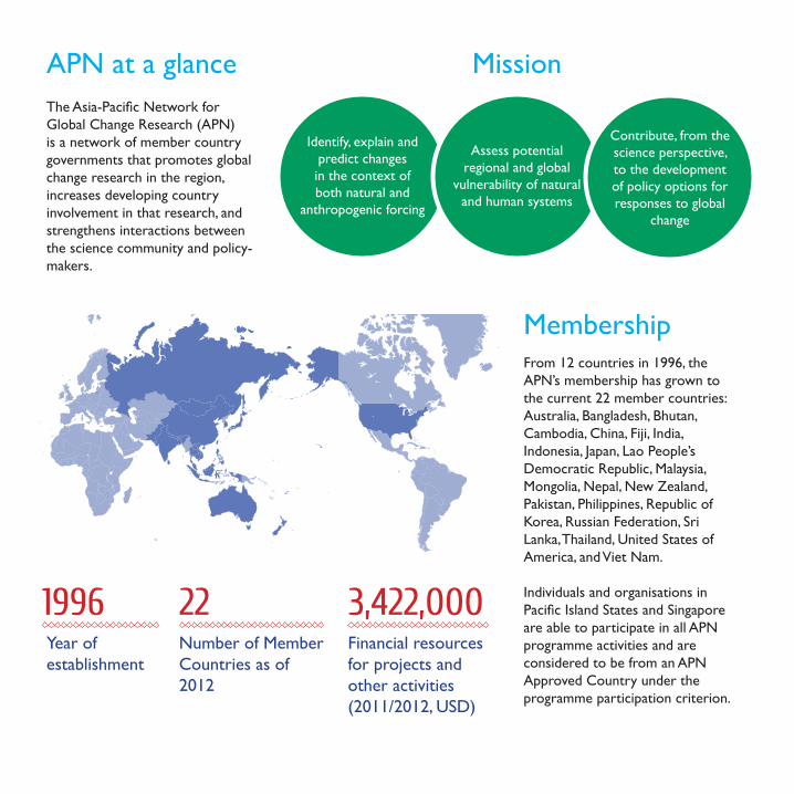
APN at a glanceThe Asia-Pacific Network for Global Change Research (APN) is a network of member country governments that promotes global change research in the region, increases developing country involvement in that research, and strengthens interactions between the science community and policy-makers.
Mission
Identify, explain and predict changes in the context of both natural and
anthropogenic forcing
Assess potential regional and global
vulnerability of natural and human systems
Contribute, from the science perspective, to the development of policy options for responses to global
change
From 12 countries in 1996, the APN’s membership has grown to the current 22 member countries: Australia, Bangladesh, Bhutan, Cambodia, China, Fiji, India, Indonesia, Japan, Lao People’s Democratic Republic, Malaysia, Mongolia, Nepal, New Zealand, Pakistan, Philippines, Republic of Korea, Russian Federation, Sri Lanka, Thailand, United States of America, and Viet Nam.
Individuals and organisations in Pacific Island States and Singapore are able to participate in all APN programme activities and are considered to be from an APN Approved Country under the programme participation criterion.
Membership
221996 3,422,000Number of Member Countries as of 2012
Year of establishment
Financial resources for projects and other activities (2011/2012, USD)
There is a need for optimum land use management in tropical forest ecosystems given increasing carbon emissions from deforestation. This means that compromises have to be reached between multiple stakeholder priorities – as, governments are interested in maximizing incomes, ensuring employment, augment environmental goals; local communities in ensuring their livelihoods, access to sacred areas, etc.; businesses in exploiting natural habitats and resources suited for commercial purposes and so on. This project attempts to identify the trade offs in land use decisions and develop a decision support system that will incorporate various biophysical and social parameters determining land use options that may be useful for a planner.
Biophysical parameters include indicators such as area and type of forest, species richness and water regulation capacity/soil erosion, among others. Data for this was obtained from records and remote sensing maps. Social parameters include indicators such as income from different forest based commercial and livelihood activities, rights to forests and resources of traditional dwellers, cultural value, among others. Data obtained from participatory interviews and biophysical records are subjected to an integrated analysis to enable an understanding of drivers of ecosystem change and likely outcomes if different development scenarios are pursued.
PROJECT BACKGROUND
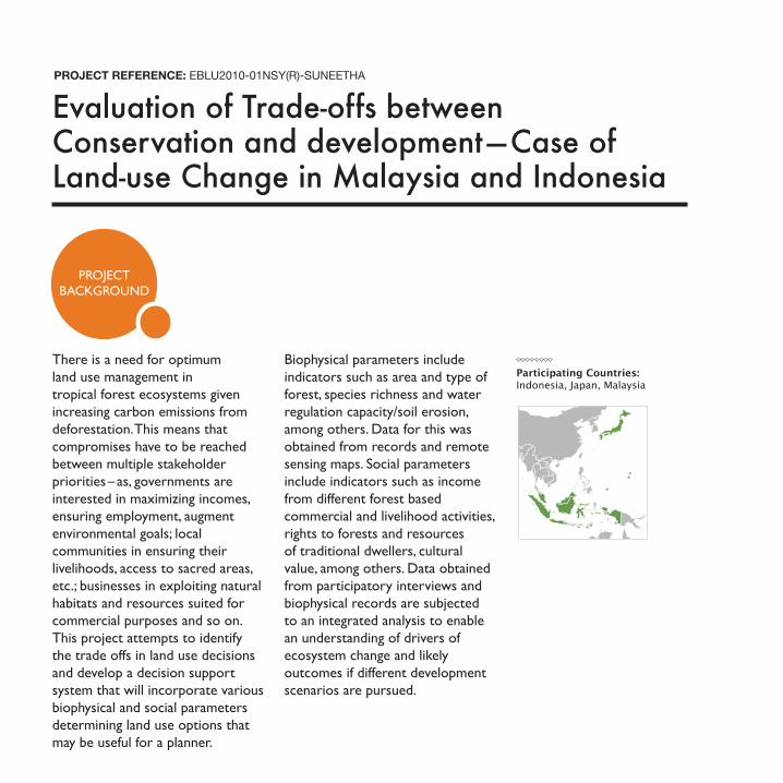
Evaluation of Trade-offs between Conservation and development — Case of Land-use Change in Malaysia and Indonesia
PROJECT REFERENCE: EBLU2010-01NSY(R)-SUNEETHA
Participating Countries: Indonesia, Japan, Malaysia
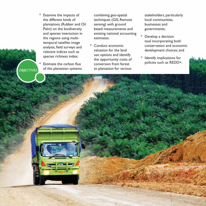
* Examine the impacts of the different kinds of plantations (Rubber and Oil Palm) on the biodiversity and species interaction in the regions using multi-temporal satellite image analysis, field surveys and relevant indices such as species richness index;
* Estimate the carbon flux of the plantation systems
combining geo-spatial techniques (GIS, Remote sensing) with ground based measurements and existing national accounting estimates;
* Conduct economic valuation for the land use options and identify the opportunity costs of conversion from forest to plantation for various
stakeholders, particularly local communities, businesses and governments;
* Develop a decision tool incorporating both conservation and economic development choices; and
* Identify implications for policies such as REDD+.
OBJECTIVES
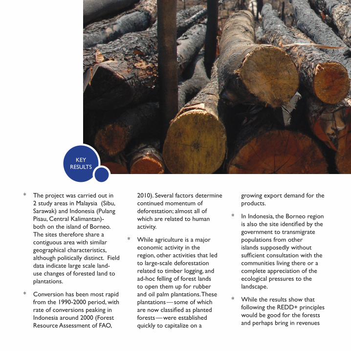
* The project was carried out in 2 study areas in Malaysia (Sibu, Sarawak) and Indonesia (Pulang Pisau, Central Kalimantan)- both on the island of Borneo. The sites therefore share a contiguous area with similar geographical characteristics, although politically distinct. Field data indicate large scale land-use changes of forested land to plantations.
* Conversion has been most rapid from the 1990-2000 period, with rate of conversions peaking in Indonesia around 2000 (Forest Resource Assessment of FAO,
2010). Several factors determine continued momentum of deforestation; almost all of which are related to human activity.
* While agriculture is a major economic activity in the region, other activities that led to large-scale deforestation related to timber logging, and ad-hoc felling of forest lands to open them up for rubber and oil palm plantations. These plantations — some of which are now classified as planted forests — were established quickly to capitalize on a
growing export demand for the products.
* In Indonesia, the Borneo region is also the site identified by the government to transmigrate populations from other islands supposedly without sufficient consultation with the communities living there or a complete appreciation of the ecological pressures to the landscape.
* While the results show that following the REDD+ principles would be good for the forests and perhaps bring in revenues
KEY RESULTS
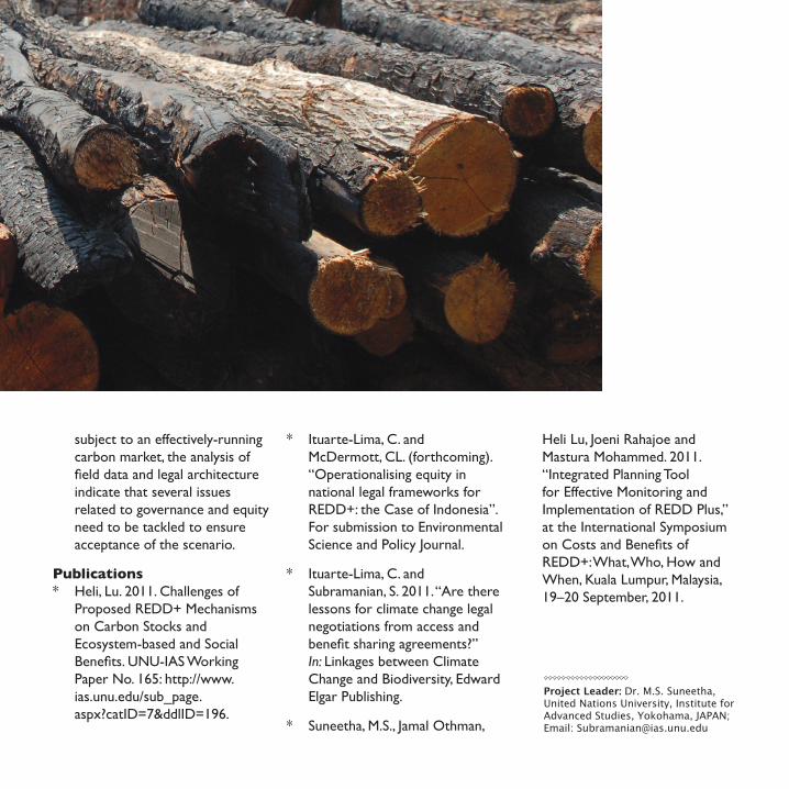
subject to an effectively-running carbon market, the analysis of field data and legal architecture indicate that several issues related to governance and equity need to be tackled to ensure acceptance of the scenario.
Publications * Heli, Lu. 2011. Challenges of
Proposed REDD+ Mechanisms on Carbon Stocks and Ecosystem-based and Social Benefits. UNU-IAS Working Paper No. 165: http://www.ias.unu.edu/sub_page. aspx?catID=7&ddlID=196.
* Ituarte-Lima, C. and McDermott, CL. (forthcoming). “Operationalising equity in national legal frameworks for REDD+: the Case of Indonesia”. For submission to Environmental Science and Policy Journal.
* Ituarte-Lima, C. and Subramanian, S. 2011. “Are there lessons for climate change legal negotiations from access and benefit sharing agreements?” In: Linkages between Climate Change and Biodiversity, Edward Elgar Publishing.
* Suneetha, M.S., Jamal Othman,
Heli Lu, Joeni Rahajoe and Mastura Moham med. 2011. “Integrated Planning Tool for Effective Monitoring and Implementa tion of REDD Plus,” at the International Symposium on Costs and Benefits of REDD+: What, Who, How and When, Kuala Lumpur, Malaysia, 19–20 September, 2011.
Project Leader: Dr. M.S. Suneetha, United Nations University, Institute for Advanced Studies, Yokohama, JAPAN; Email: [email protected]
PROJECT BACKGROUND
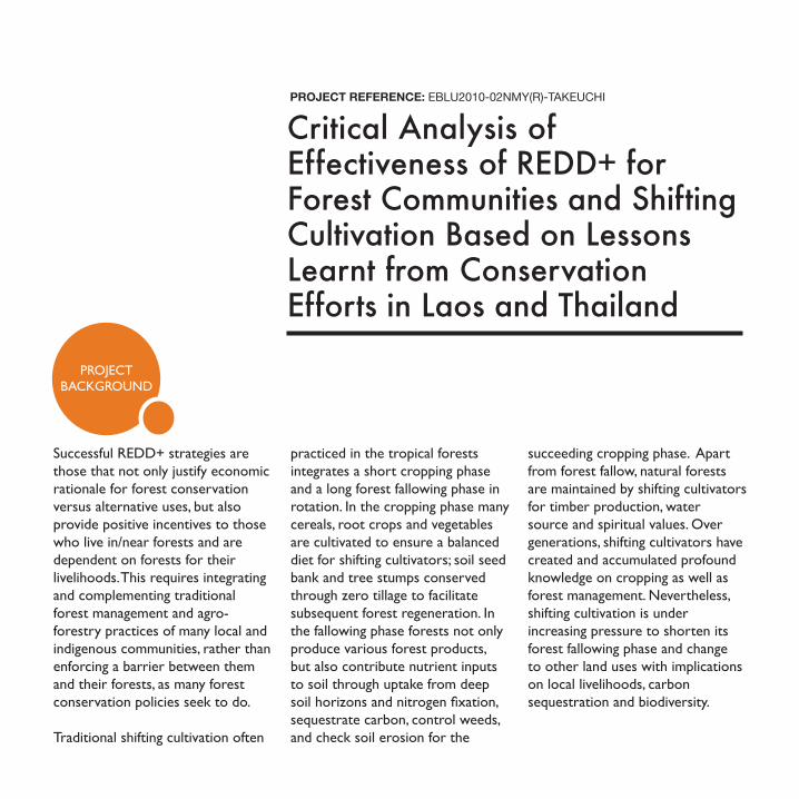
Successful REDD+ strategies are those that not only justify economic rationale for forest conservation versus alternative uses, but also provide positive incentives to those who live in/near forests and are dependent on forests for their livelihoods. This requires integrating and complementing traditional forest management and agro-forestry practices of many local and indigenous communities, rather than enforcing a barrier between them and their forests, as many forest conservation policies seek to do.
Traditional shifting cultivation often
practiced in the tropical forests integrates a short cropping phase and a long forest fallowing phase in rotation. In the cropping phase many cereals, root crops and vegetables are cultivated to ensure a balanced diet for shifting cultivators; soil seed bank and tree stumps conserved through zero tillage to facilitate subsequent forest regeneration. In the fallowing phase forests not only produce various forest products, but also contribute nutrient inputs to soil through uptake from deep soil horizons and nitrogen fixation, sequestrate carbon, control weeds, and check soil erosion for the
succeeding cropping phase. Apart from forest fallow, natural forests are maintained by shifting cultivators for timber production, water source and spiritual values. Over generations, shifting cultivators have created and accumulated profound knowledge on cropping as well as forest management. Nevertheless, shifting cultivation is under increasing pressure to shorten its forest fallowing phase and change to other land uses with implications on local livelihoods, carbon sequestration and biodiversity.
PROJECT REFERENCE: EBLU2010-02NMY(R)-TAKEUCHI
Critical Analysis of Effectiveness of REDD+ for Forest Communities and Shifting Cultivation Based on Lessons Learnt from Conservation Efforts in Laos and Thailand
EXPECTED OUTCOMES
OBJECTIVES
Project Leader: Kazuhiko Takeuchi, Director, United Nations University Institute for Sustainability and Peace, JAPAN; Email: [email protected]
* Assess the potential social, economic and environmental challenges and opportunities of REDD+ for selected communities in Laos and Thailand. Lessons will be drawn from past/ongoing forest conservation policies;
* Provide much-needed scientific evidence on the potential co-benefits of traditional forest management and agro-forestry practices and comparing it with alternative land-uses; and
* Develop participatory community-based MRV mechanisms for REDD+.
* Assist the pro-poor design and implementation of REDD+;
* Improve the well-being of forest-dependent communities; and
* Integrate traditional agro-forestry as a climate change mitigation agenda.
Collaborating countries: India, Japan, Lao PDR, Thailand
Participatory Approaches to Forest Carbon Accounting to Mitigate Climate Change, Conserve Biodiversity, and Promote Sustainable Development
PROJECT REFERENCE: EBLU2010-03NMY(R)-SCHEYVENS
PROJECT BACKGROUND The destruction of forests
contributes to global climate change by releasing carbon dioxide (CO2) and other greenhouse gases into the atmosphere and by reducing the potential of forests to absorb CO2. Good forest management is an important part of the solution to global climate change, as well as to ensuring the enhancement and maintenance of other ecosystems services critical to humankind, such as biodiversity, water and soil protection.
The Project Participatory Approaches to Forest Carbon Accounting to Mitigate Climate Change, Conserve Biodiversity, and Promote Sustainable Development
was launched with the intention of elaborating approaches for engaging communities in forest carbon stock monitoring. The Project’s background includes decisions taken by the Conference of the Parties (COP) of the United Nations Framework Convention on Climate Change (UNFCCC). The COP has set the participation of stakeholders, especially local communities and indigenous peoples, as one of the safeguards for REDD+, and in Decision 4/CP.15 encourages the development of guidance for effective engagement of indigenous peoples and local communities in monitoring and reporting.
OBJECTIVES
* Develop and test participatory approaches to involve forest-dependent communities in forest carbon accounting using sample plots
* Estimate carbon stocks at the research sites and compare the results with other studies
* Explore ways of integrating the participatory approaches to ground-based measurement with remote sensing methods
in order to establish reference emission levels
* Estimate the costs of implementing participatory ground-based approaches and compare with alternatives
* Explore how payment distribution systems can provide incentives for communities to participate in forest carbon accounting
* Encourage replication of the approaches through the research outputs
* Two or more academic papers drafted as the research progresses;
* One policy brief which links the action research with the ongoing negotiations under the UNFCCC;
* Final report consisting of (i) 3 approaches to community forest carbon accounting developed for Laos, Cambodia and Indonesia, and (ii) a generic approach to community forest carbon accounting providing guidance to other countries;
* A module (training manual) for training foresters, community representatives and others on how to implement the approach;
* Increased knowledge and capacity of forestry departments, the Collaborators and others working on REDD+ issues in Laos, Cambodia and Indonesia on effective approaches to involve indigenous people and communities in forest carbon accounting;
* Increased understanding of the benefits of community forest carbon accounting for local ownership of REDD+ activities, improved accuracy of forest carbon stock estimates and monitoring, and sustainable livelihoods.
EXPECTED OUTCOMES
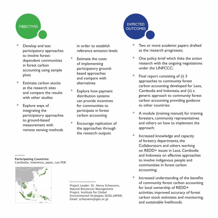
Participating Countries:Cambodia, Indonesia, Japan, Lao PDR
Project Leader: Dr. Henry Scheyvens, Natural Resources Management Project, Institute for Global Environmental Strategies (IGES) JAPAN; Email: [email protected]
PROJECT BACKGROUND
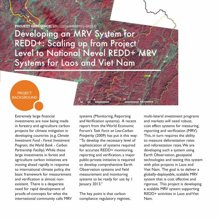
Developing an MRV System for REDD+: Scaling up from Project Level to National Nevel REDD+ MRV Systems for Laos and Viet Nam
PROJECT REFERENCE: EBLU2010-04NMY(C)-SKOLE
Extremely large financial investments are now being made in forestry and agriculture carbon projects for climate mitigation in developing countries (e.g. Climate Investment Fund - Forest Investment Program, the World Bank - Carbon Partnership Facility). While these large investments in forest and agriculture carbon initiatives are moving ahead rapidly in response to international climate policy, the basic framework for measurement and verification is almost non-existent. There is a desperate need for rapid development of proofs-of-concepts for what the international community calls MRV
systems (Monitoring, Reporting and Verification systems). A recent report from the World Economic Forum’s Task Force on Low-Carbon Prosperity (2009) has put it this way: “To develop the necessary level of sophistication of systems required for accurate REDD+ monitoring, reporting and verification, a major public-private initiative is required to develop comprehensive Earth Observation systems and field measurement and monitoring systems to be ready for use by 1 January 2013.”
The key point is that carbon compliance regulatory regimes,
multi-lateral investment programs and markets will need robust, cost effect systems for measuring, reporting and verification (MRV). This, in turn requires the ability to measure deforestation rates and reforestation rates. We are developing such a system using Earth Observation, geospatial technologies and testing this system with pilot projects in Laos and Viet Nam. The goal is to deliver a globally-deployable, scalable MRV system that is cost effective and rigorous. This project is developing a scalable MRV system supporting REDD+ activities in Laos and Viet Nam.
OBJECTIVESOUTCOMES
TO DATE
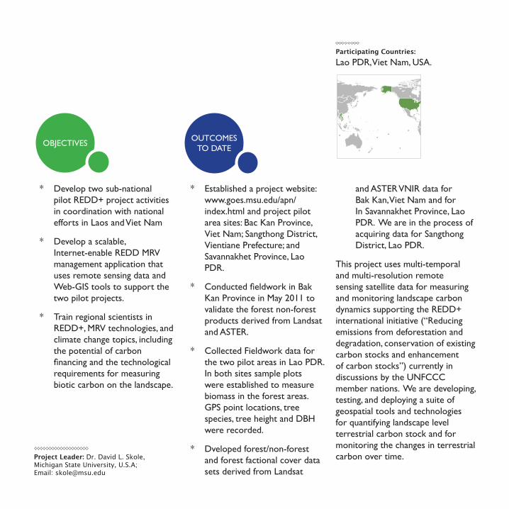
Participating Countries:Lao PDR, Viet Nam, USA.
* Develop two sub-national pilot REDD+ project activities in coordination with national efforts in Laos and Viet Nam
* Develop a scalable, Internet-enable REDD MRV management application that uses remote sensing data and Web-GIS tools to support the two pilot projects.
* Train regional scientists in REDD+, MRV technologies, and climate change topics, including the potential of carbon financing and the technological requirements for measuring biotic carbon on the landscape.
* Established a project website: www.goes.msu.edu/apn/index.html and project pilot area sites: Bac Kan Province, Viet Nam; Sangthong District, Vientiane Prefecture; and Savannakhet Province, Lao PDR.
* Conducted fieldwork in Bak Kan Province in May 2011 to validate the forest non-forest products derived from Landsat and ASTER.
* Collected Fieldwork data for the two pilot areas in Lao PDR. In both sites sample plots were established to measure biomass in the forest areas. GPS point locations, tree species, tree height and DBH were recorded.
* Dveloped forest/non-forest and forest factional cover data sets derived from Landsat
and ASTER VNIR data for Bak Kan, Viet Nam and for In Savannakhet Province, Lao PDR. We are in the process of acquiring data for Sangthong District, Lao PDR.
This project uses multi-temporal and multi-resolution remote sensing satellite data for measuring and monitoring landscape carbon dynamics supporting the REDD+ international initiative (“Reducing emissions from deforestation and degradation, conservation of existing carbon stocks and enhancement of carbon stocks”) currently in discussions by the UNFCCC member nations. We are developing, testing, and deploying a suite of geospatial tools and technologies for quantifying landscape level terrestrial carbon stock and for monitoring the changes in terrestrial carbon over time. Project Leader: Dr. David L. Skole,
Michigan State University, U.S.A; Email: [email protected]
Since the 1990s, forest monitoring in Indonesia has been carried out using Landsat images. Cloud cover is considered to be the main obstacle to getting consistent images that cover the whole area of the country, and 10% of images are generally always cloud covered. This situation contrasts with the increasing need to obtain more rapid, reliable, and consistent information of the current status of land use and land cover as well as their dynamic changes over time.
Radar data has the capacity to penetrate cloud and is essential to overcome the cloud-cover problem. Integrating data from the Phased Array type L-band Synthetic Aperture Radar (PALSAR) on the Advanced Land Observing Satellite (ALOS) into the current forest monitoring system will provide cloud free results. In addition to the capability of providing cloud-cover free information, ALOS/PALSAR data, specifically dual polarimetric data, also has potential
to discriminate between forest cover types and other major land covers. This implies that in the establishment of improved (new) reliable methods, solely for forest cover monitoring, detecting change and monitoring deforestation and degradation, ALOS/PALSAR data is promising.
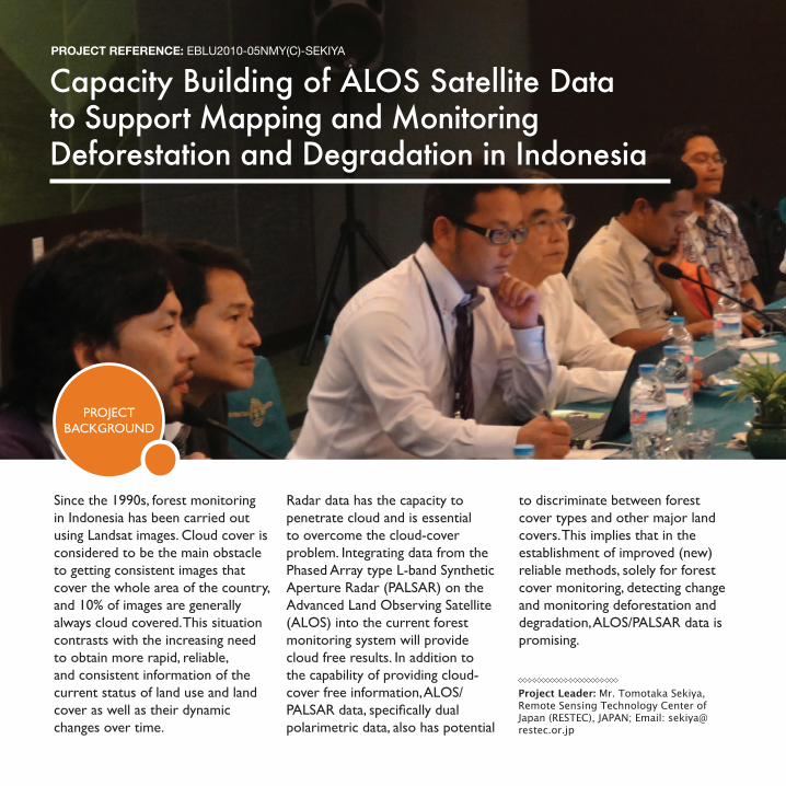
Capacity Building of ALOS Satellite Data to Support Mapping and Monitoring Deforestation and Degradation in Indonesia
PROJECT REFERENCE: EBLU2010-05NMY(C)-SEKIYA
Project Leader: Mr. Tomotaka Sekiya, Remote Sensing Technology Center of Japan (RESTEC), JAPAN; Email: [email protected]
PROJECT BACKGROUND
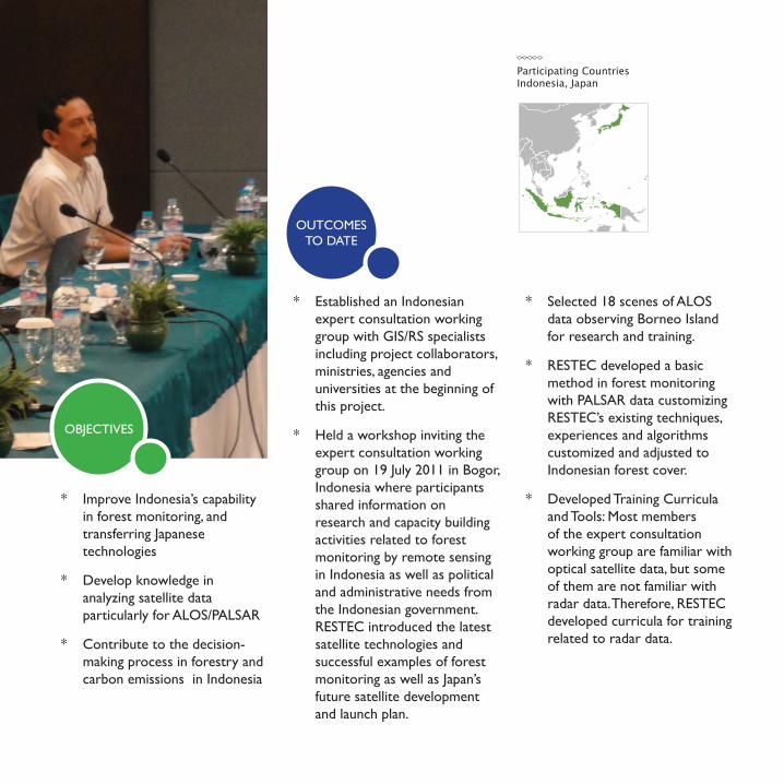
* Established an Indonesian expert consultation working group with GIS/RS specialists including project collaborators, ministries, agencies and universities at the beginning of this project.
* Held a workshop inviting the expert consultation working group on 19 July 2011 in Bogor, Indonesia where participants shared information on research and capacity building activities related to forest monitoring by remote sensing in Indonesia as well as political and administrative needs from the Indonesian government. RESTEC introduced the latest satellite technologies and successful examples of forest monitoring as well as Japan’s future satellite development and launch plan.
* Selected 18 scenes of ALOS data observing Borneo Island for research and training.
* RESTEC developed a basic method in forest monitoring with PALSAR data customizing RESTEC’s existing techniques, experiences and algorithms customized and adjusted to Indonesian forest cover.
* Developed Training Curricula and Tools: Most members of the expert consultation working group are familiar with optical satellite data, but some of them are not familiar with radar data. Therefore, RESTEC developed curricula for training related to radar data.
* Improve Indonesia’s capability in forest monitoring, and transferring Japanese technologies
* Develop knowledge in analyzing satellite data particularly for ALOS/PALSAR
* Contribute to the decision-making process in forestry and carbon emissions in Indonesia
Participating CountriesIndonesia, Japan
OUTCOMES TO DATE
OBJECTIVES
Ecosystems, Biodiversity & Land Use (EBLU) Executive Editor: Linda Anne Stevenson; Production: Xiaojun Deng
Full final reports of APN projects highlighted in this brochure
can be downloaded from the APN website at www.apn-gcr.org.
Photo credits: Nara Simhan (cover), Kazuhiko Takeuchi (2, 9), CIFOR/Ryan Woo (5), CIFOR/Tim Cronin (6,7), Henry Scheyvens (10), David L. Skole (12), Tomotaka Sekiya (14)
© 2012 Asia-Pacific Network for Global Change Research
4th Floor, East Building, 1‐5‐2 Wakinohama Kaigan Dori, Chuo‐ku, Kobe 651‐0073, JAPAN.
Tel: +81‐78‐230‐8017; Fax: +81‐78‐230‐8018 Website: www.apn-gcr.org; Email: info@apn‐gcr.org
Asia-Pacific Network for Global Change Research