Embed Size (px)
Citation preview
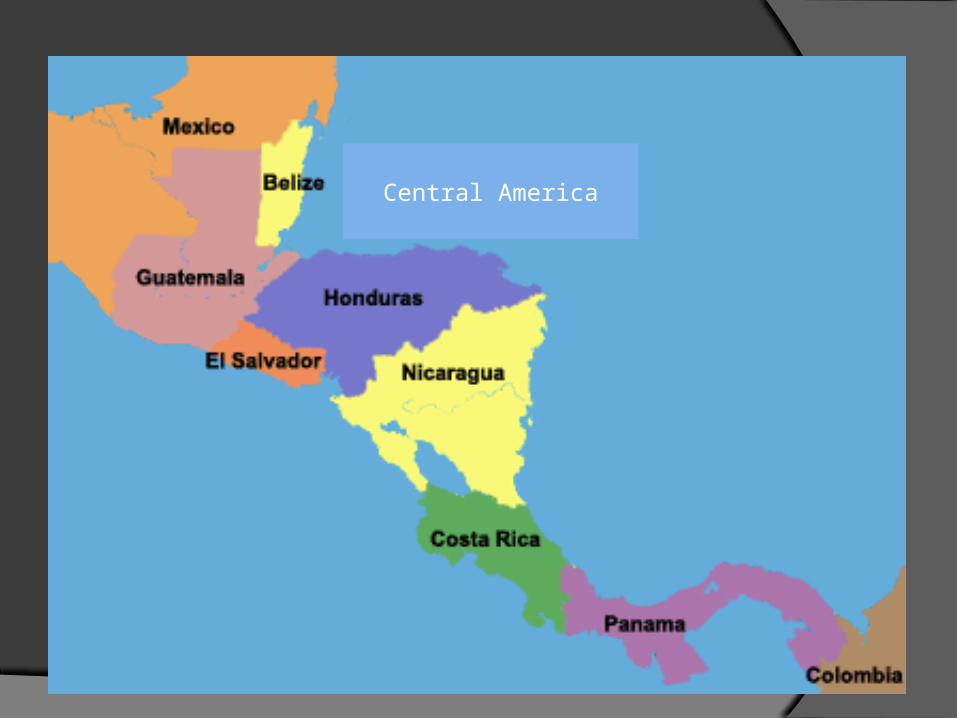
Central America
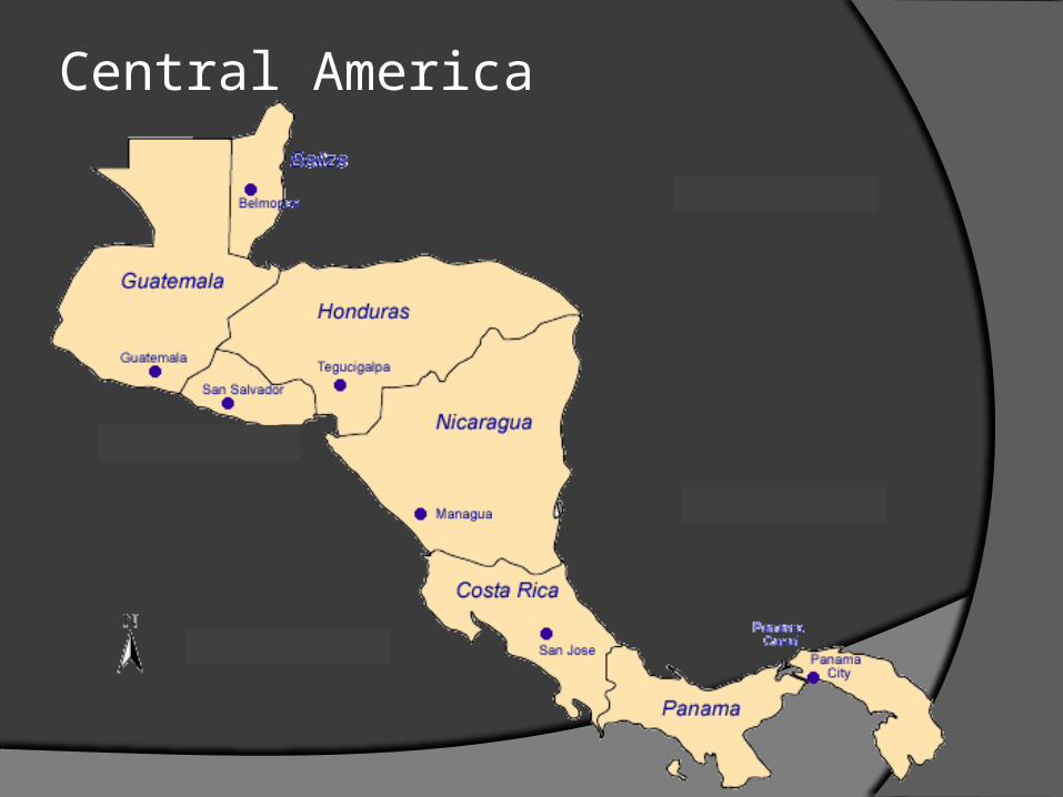
Central America
CHAPTER 11Middle America
Latin America
Different cultural region from US and Canada
2 sub regions of Latin America: Middle America and South America
Latin people speak languages that descended from Latin Spanish, Portuguese, Italian, French
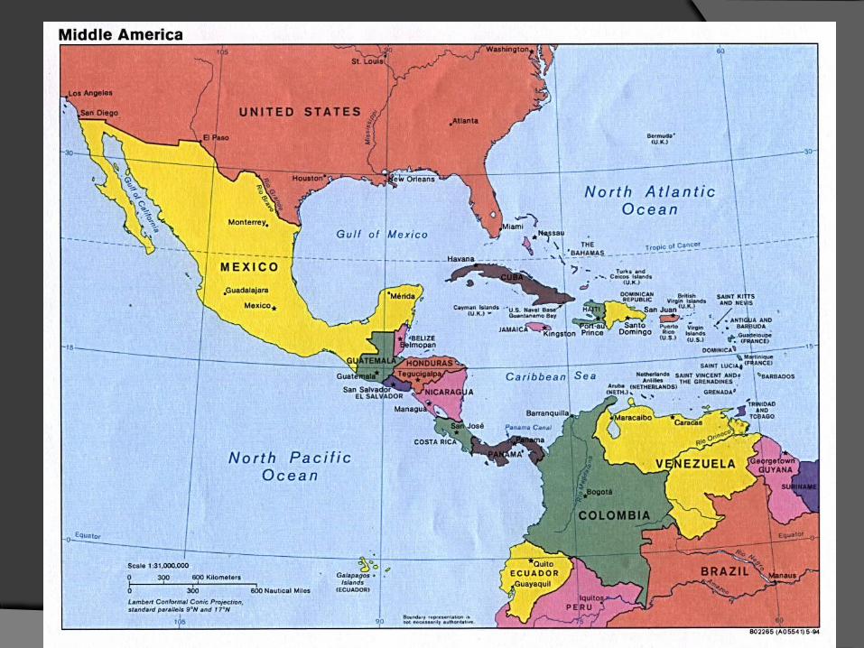
Middle America
Consists of nations and islands that lie between the US and South America
Called a Land Bridge btw North America and South AmericaMexicoCentral AmericaThe West Indies
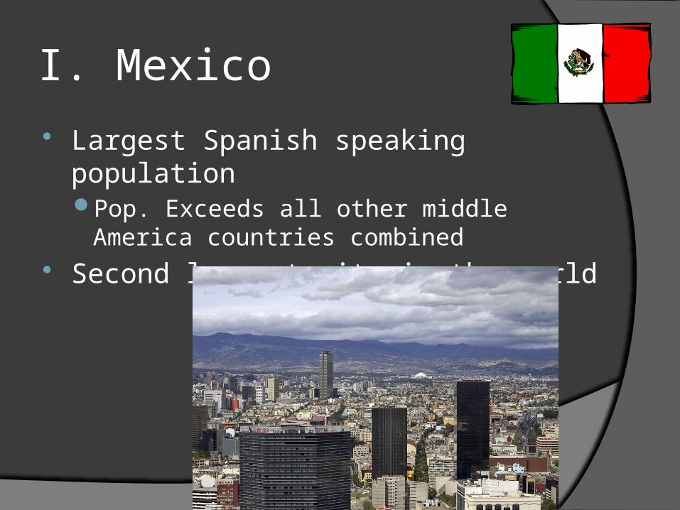
I. Mexico
Largest Spanish speaking populationPop. Exceeds all other middle America
countries combined Second largest city in the world
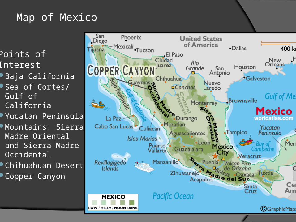
Map of Mexico
Points of InterestBaja CaliforniaSea of Cortes/
Gulf of CaliforniaYucatan
PeninsulaMountains: Sierra
Madre Oriental and Sierra Madre Occidental
Chihuahuan Desert
Copper Canyon
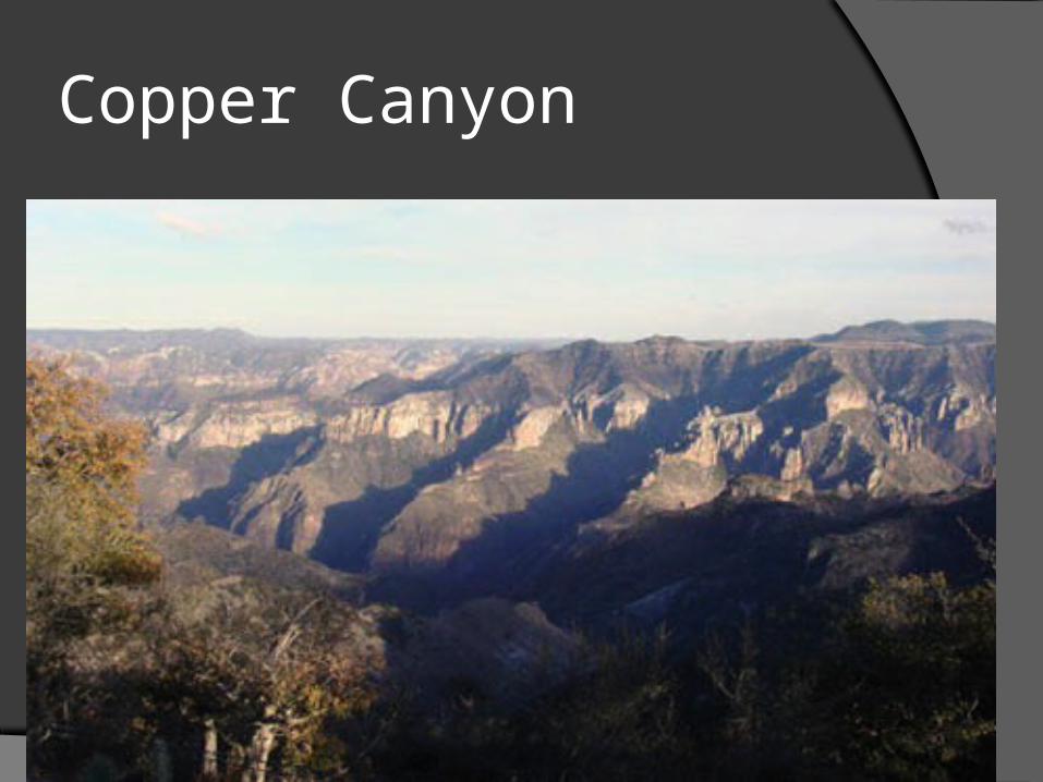
Copper Canyon
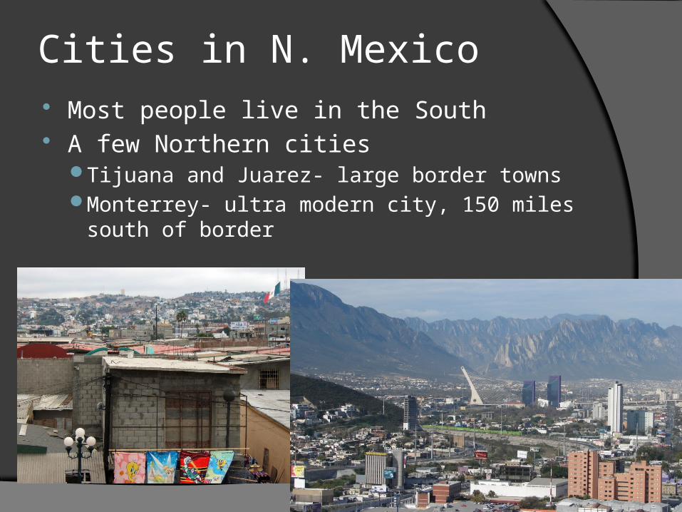
Cities in N. Mexico Most people live in the South A few Northern cities
Tijuana and Juarez- large border townsMonterrey- ultra modern city, 150 miles south of
border
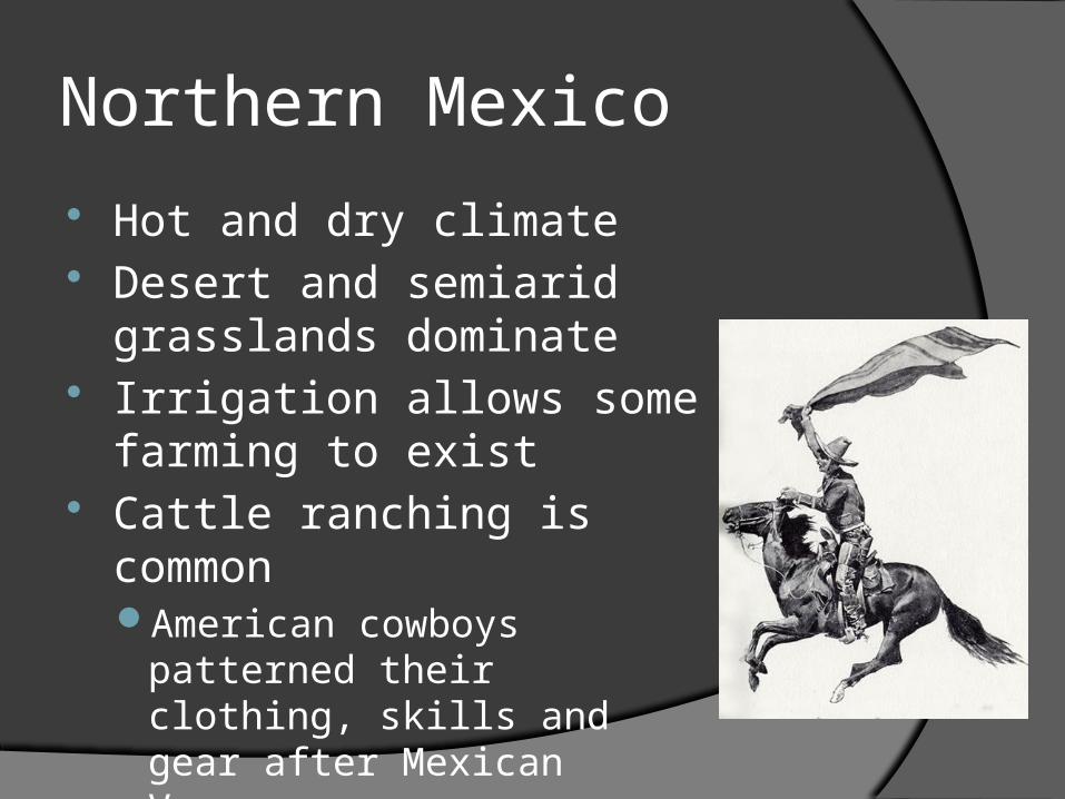
Northern Mexico
Hot and dry climate Desert and semiarid
grasslands dominate Irrigation allows some farming
to exist Cattle ranching is common
American cowboys patterned their clothing, skills and gear after Mexican Vaqueros
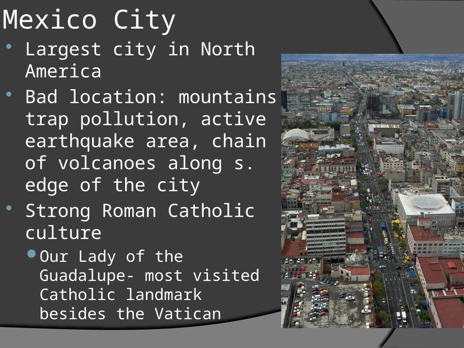
Mexico City Largest city in North America Bad location: mountains trap
pollution, active earthquake area, chain of volcanoes along s. edge of the city
Strong Roman Catholic cultureOur Lady of the Guadalupe-
most visited Catholic landmark besides the Vatican
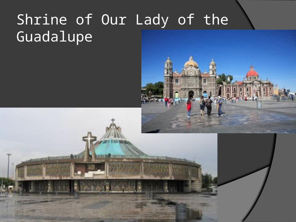
Shrine of Our Lady of the Guadalupe
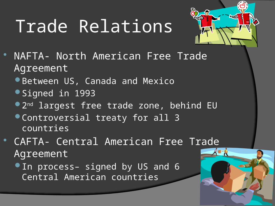
Trade Relations
NAFTA- North American Free Trade AgreementBetween US, Canada and MexicoSigned in 19932nd largest free trade zone, behind EUControversial treaty for all 3 countries
CAFTA- Central American Free Trade AgreementIn process– signed by US and 6 Central
American countries
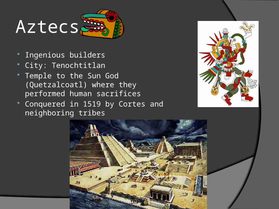
Aztecs Ingenious builders City: Tenochtitlan Temple to the Sun God (Quetzalcoatl)
where they performed human sacrifices Conquered in 1519 by Cortes and
neighboring tribes
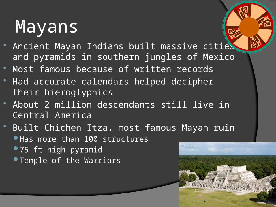
Mayans Ancient Mayan Indians built massive cities and
pyramids in southern jungles of Mexico Most famous because of written records Had accurate calendars helped decipher their
hieroglyphics About 2 million descendants still live in Central
America Built Chichen Itza, most famous Mayan ruin
Has more than 100 structures 75 ft high pyramidTemple of the Warriors
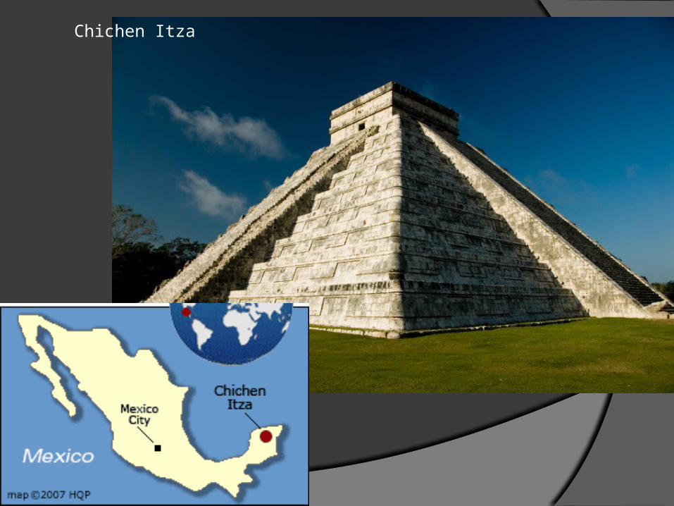
Chichen Itza
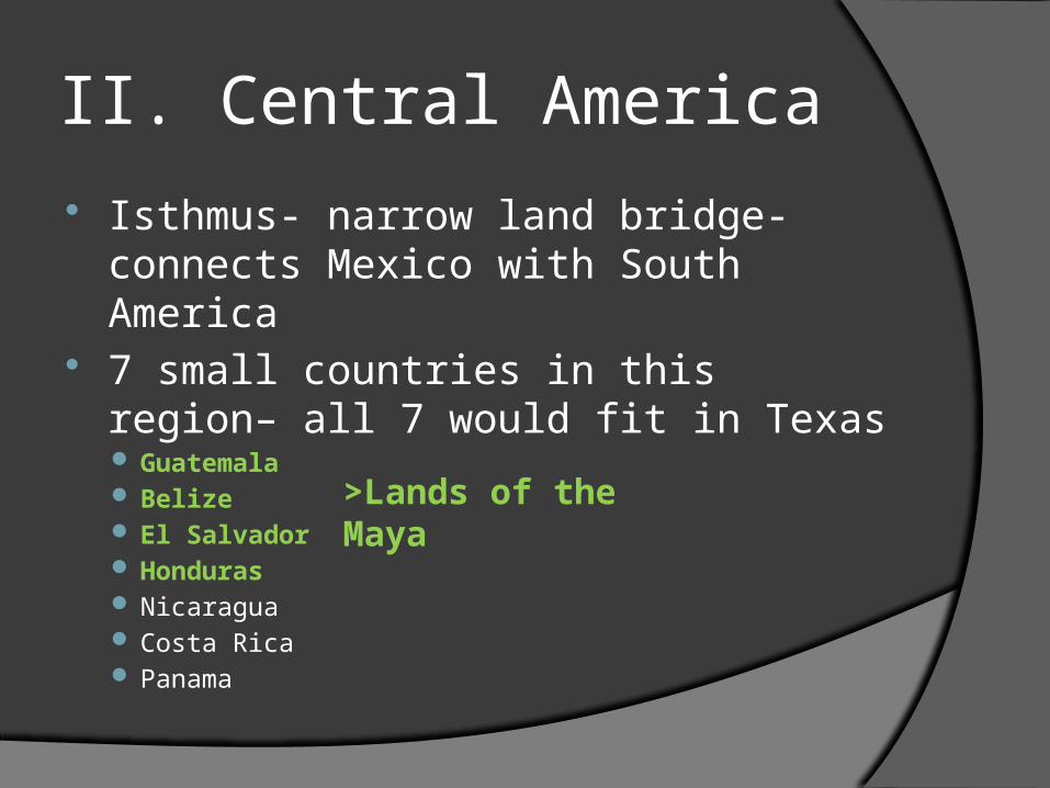
II. Central America
Isthmus- narrow land bridge- connects Mexico with South America
7 small countries in this region– all 7 would fit in Texas Guatemala Belize El Salvador Honduras Nicaragua Costa Rica Panama
>Lands of the Maya
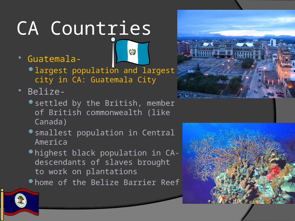
CA Countries Guatemala-
largest population and largest city in CA: Guatemala City
Belize- settled by the British, member of
British commonwealth (like Canada)smallest population in Central
America highest black population in CA-
descendants of slaves brought to work on plantations
home of the Belize Barrier Reef
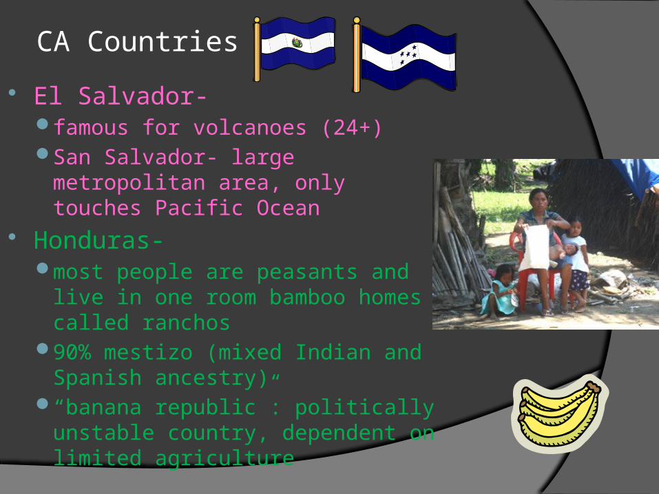
CA Countries
El Salvador- famous for volcanoes (24+)San Salvador- large metropolitan
area, only touches Pacific Ocean Honduras-
most people are peasants and live in one room bamboo homes called ranchos
90% mestizo (mixed Indian and Spanish ancestry)
“banana republic”: politically unstable country, dependent on limited agriculture
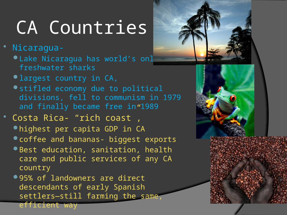
CA Countries Nicaragua-
Lake Nicaragua has world’s only freshwater sharks
largest country in CA, stifled economy due to political divisions,
fell to communism in 1979 and finally became free in 1989
Costa Rica- “rich coast”, highest per capita GDP in CAcoffee and bananas- biggest exportsBest education, sanitation, health care
and public services of any CA country 95% of landowners are direct
descendants of early Spanish settlers—still farming the same, efficient way
CA Countries
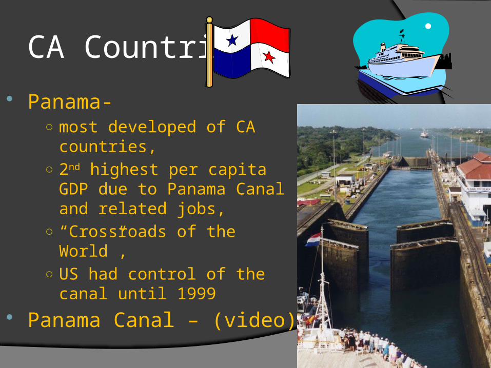
Panama-○ most developed of CA countries, ○ 2nd highest per capita GDP due
to Panama Canal and related jobs,
○ “Crossroads of the World”, ○ US had control of the canal until
1999
Panama Canal – (video)
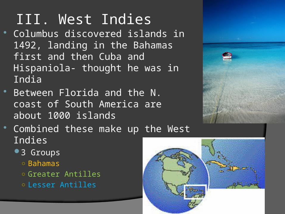
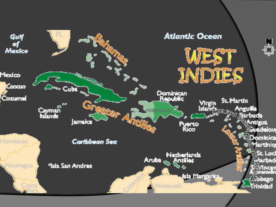
III. West Indies Columbus discovered islands in
1492, landing in the Bahamas first and then Cuba and Hispaniola- thought he was in India
Between Florida and the N. coast of South America are about 1000 islands
Combined these make up the West Indies3 Groups
○ Bahamas○ Greater Antilles○ Lesser Antilles
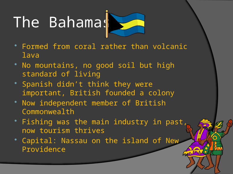
The Bahamas Formed from coral rather than volcanic lava No mountains, no good soil but high standard of
living Spanish didn’t think they were important, British
founded a colony Now independent member of British
Commonwealth Fishing was the main industry in past, now
tourism thrives Capital: Nassau on the island of New
Providence
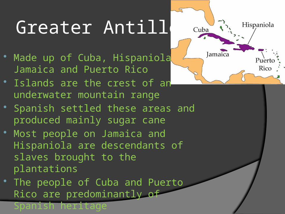
Greater Antilles Made up of Cuba, Hispaniola,
Jamaica and Puerto Rico Islands are the crest of an
underwater mountain range Spanish settled these areas and
produced mainly sugar cane Most people on Jamaica and
Hispaniola are descendants of slaves brought to the plantations
The people of Cuba and Puerto Rico are predominantly of Spanish heritage
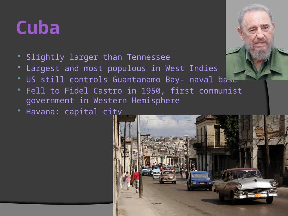
Cuba Slightly larger than Tennessee Largest and most populous in West Indies US still controls Guantanamo Bay- naval base Fell to Fidel Castro in 1950, first communist government in
Western Hemisphere Havana: capital city
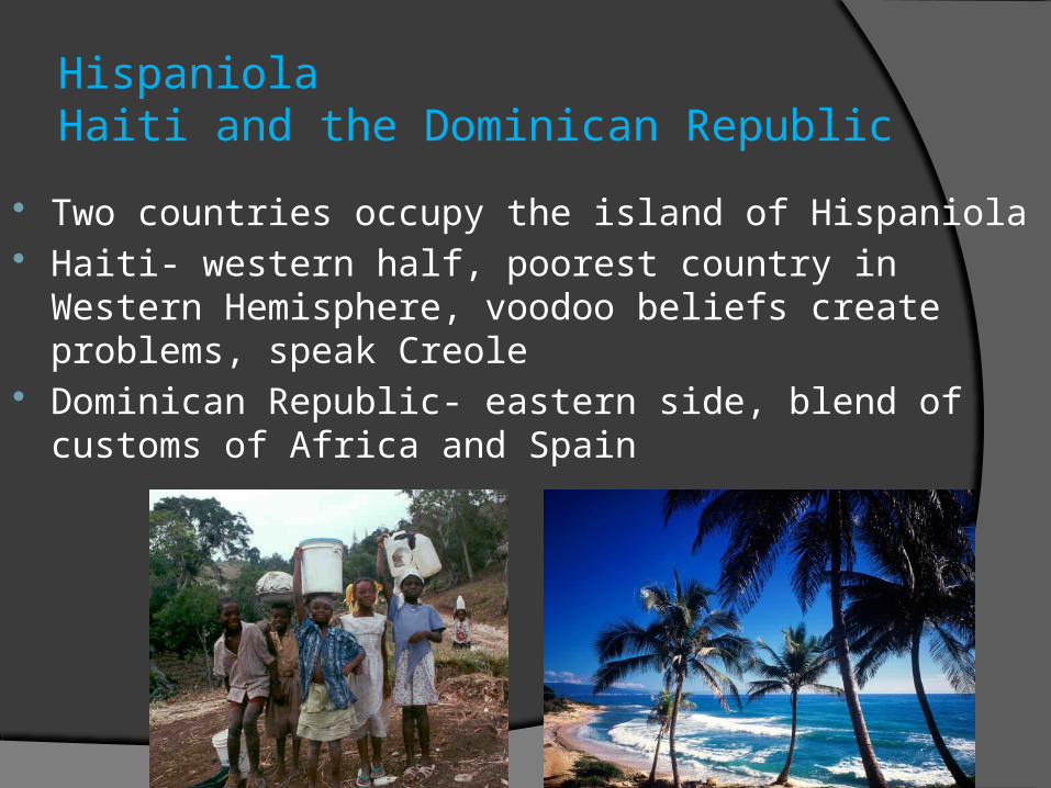
HispaniolaHaiti and the Dominican Republic
Two countries occupy the island of Hispaniola Haiti- western half, poorest country in Western
Hemisphere, voodoo beliefs create problems, speak Creole
Dominican Republic- eastern side, blend of customs of Africa and Spain
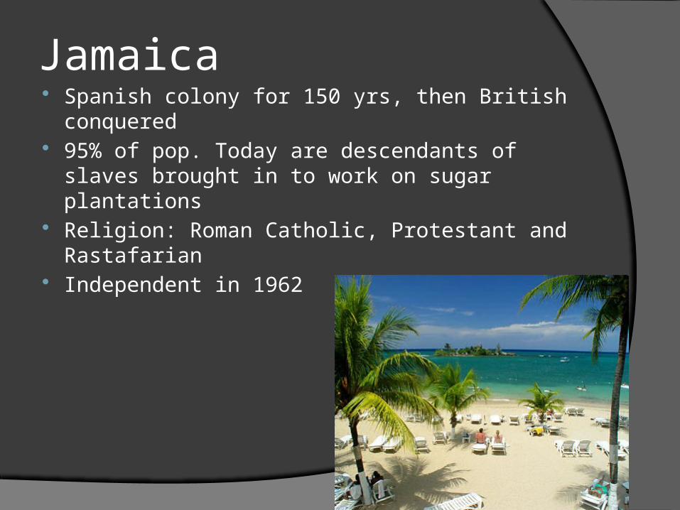
Jamaica Spanish colony for 150 yrs, then British
conquered 95% of pop. Today are descendants of slaves
brought in to work on sugar plantations Religion: Roman Catholic, Protestant and
Rastafarian Independent in 1962
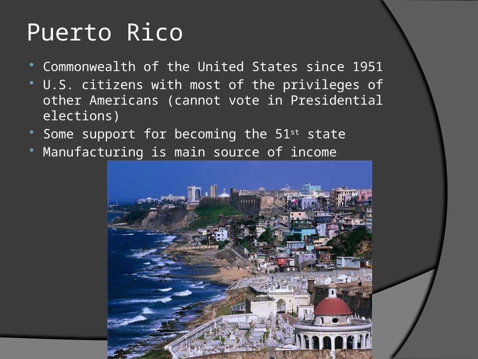
Puerto Rico Commonwealth of the United States since 1951 U.S. citizens with most of the privileges of other
Americans (cannot vote in Presidential elections) Some support for becoming the 51st state Manufacturing is main source of income
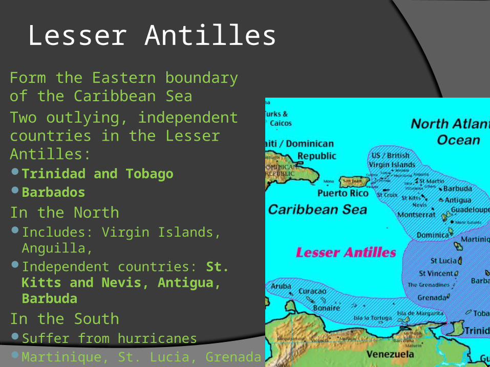
Lesser Antilles Form the Eastern boundary of
the Caribbean Sea Two outlying, independent
countries in the Lesser Antilles: Trinidad and TobagoBarbados
In the NorthIncludes: Virgin Islands, Anguilla, Independent countries: St. Kitts
and Nevis, Antigua, Barbuda In the South
Suffer from hurricanesMartinique, St. Lucia, Grenada
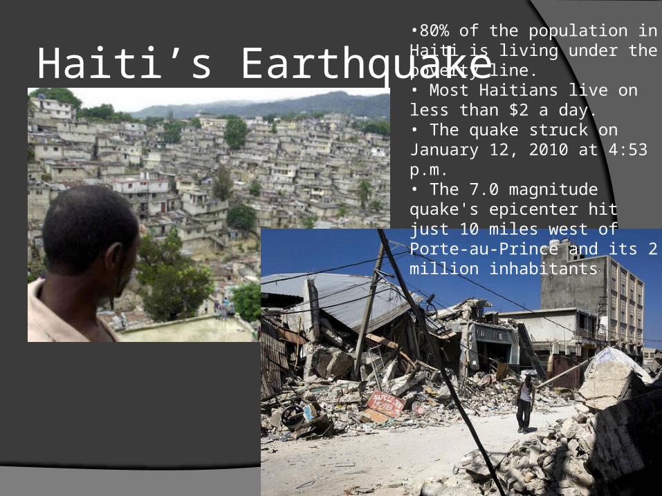
Haiti’s Earthquake•80% of the population in Haiti is living under the poverty line.• Most Haitians live on less than $2 a day.• The quake struck on January 12, 2010 at 4:53 p.m.• The 7.0 magnitude quake's epicenter hit just 10 miles west of Porte-au-Prince and its 2 million inhabitants
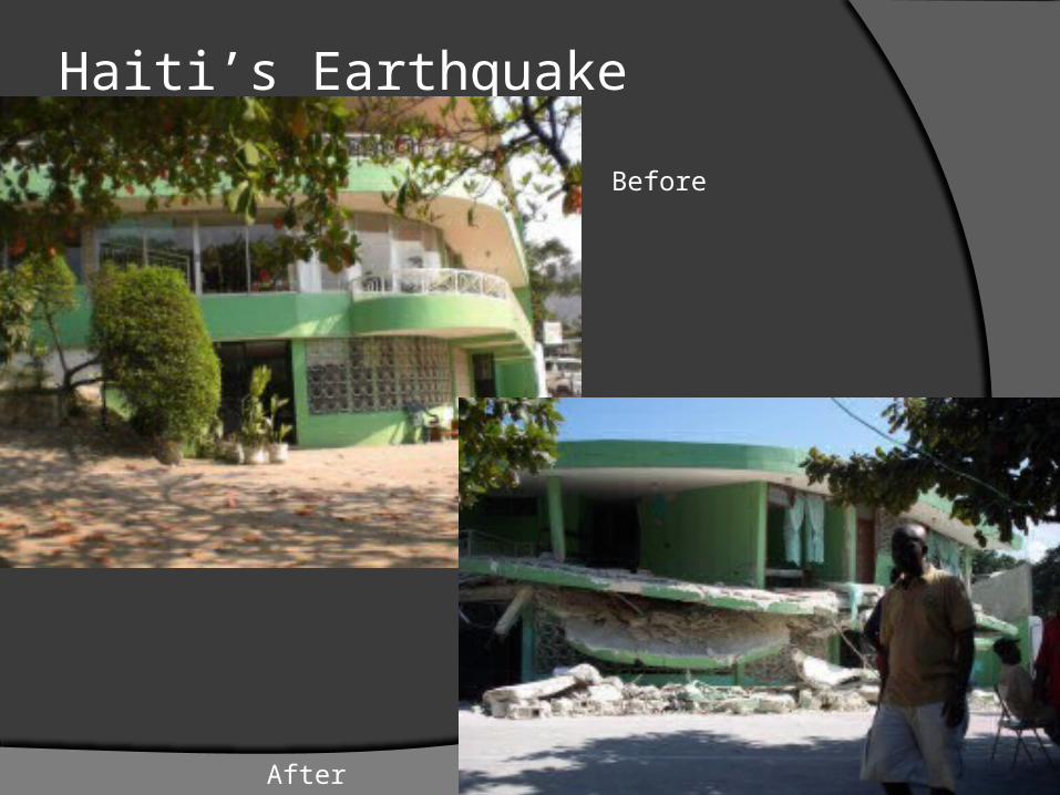
Haiti’s Earthquake
Before
After