Embed Size (px)
Citation preview
Coastal and Marine Ecological Classification Standard
(CMECS 101)
Mark FinkbeinerNOAA Office for Coastal Management
Presented at the
SECART Habinar Series
18 May 2017
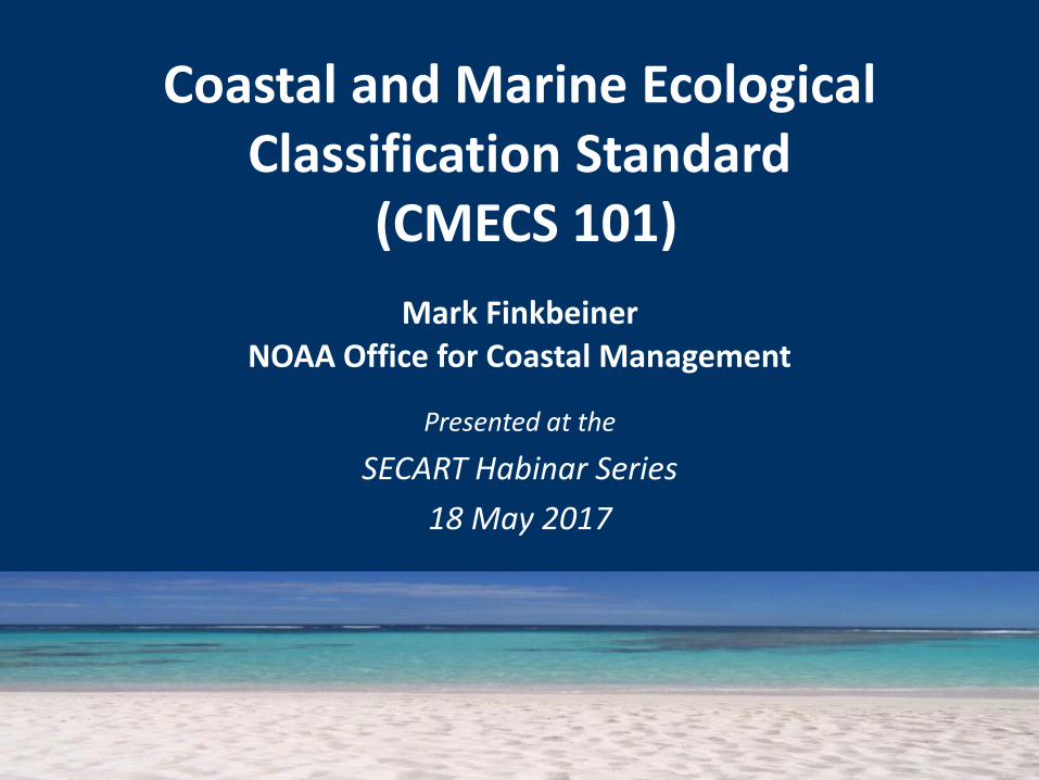
What Is CMECS?
What CMECS is: • A catalog of terms • A framework for organizing
observational information
What CMECS is not:• A mapping protocol • An analytical method for comparing
ecosystem units
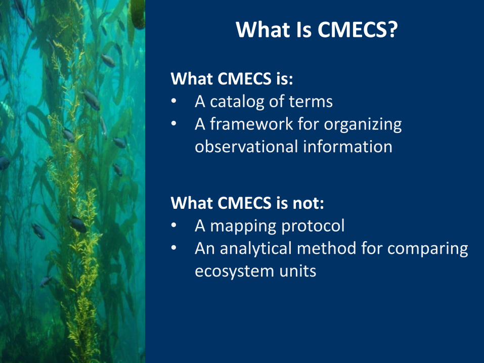
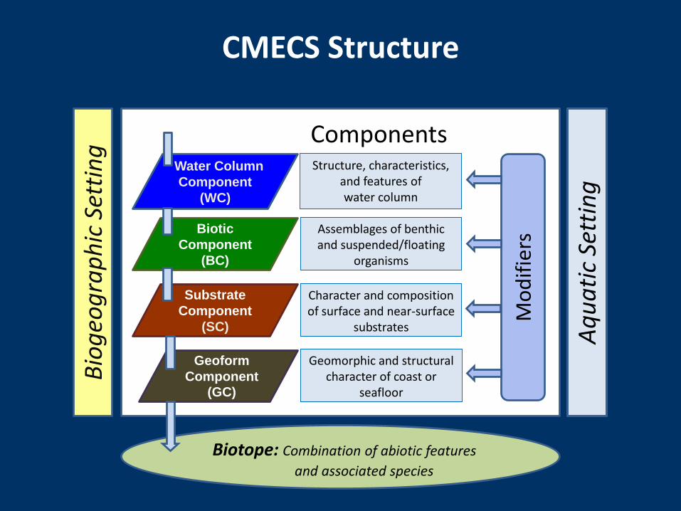
CMECS Structure
Bio
geo
gra
ph
icSe
ttin
g
Geomorphic and structural character of coast or
seafloor
Biotic
Component
(BC)
Water Column
Component
(WC)
Substrate
Component
(SC)
Geoform
Component(GC)
Structure, characteristics, and features of water column
Assemblages of benthicand suspended/floating
organisms
Character and composition of surface and near-surface
substrates
Components
Mo
dif
iers
Aq
ua
tic
Sett
ing
CMECS Structure
Bio
geo
gra
ph
icSe
ttin
g
Biotope: Combination of abiotic features
and associated species
Geomorphic and structural character of coast or
seafloor
Biotic
Component
(BC)
Water Column
Component
(WC)
Substrate
Component
(SC)
Geoform
Component(GC)
Structure, characteristics, and features of water column
Assemblages of benthicand suspended/floating
organisms
Character and composition of surface and near-surface
substrates
Components
Mo
dif
iers
Aq
ua
tic
Sett
ing
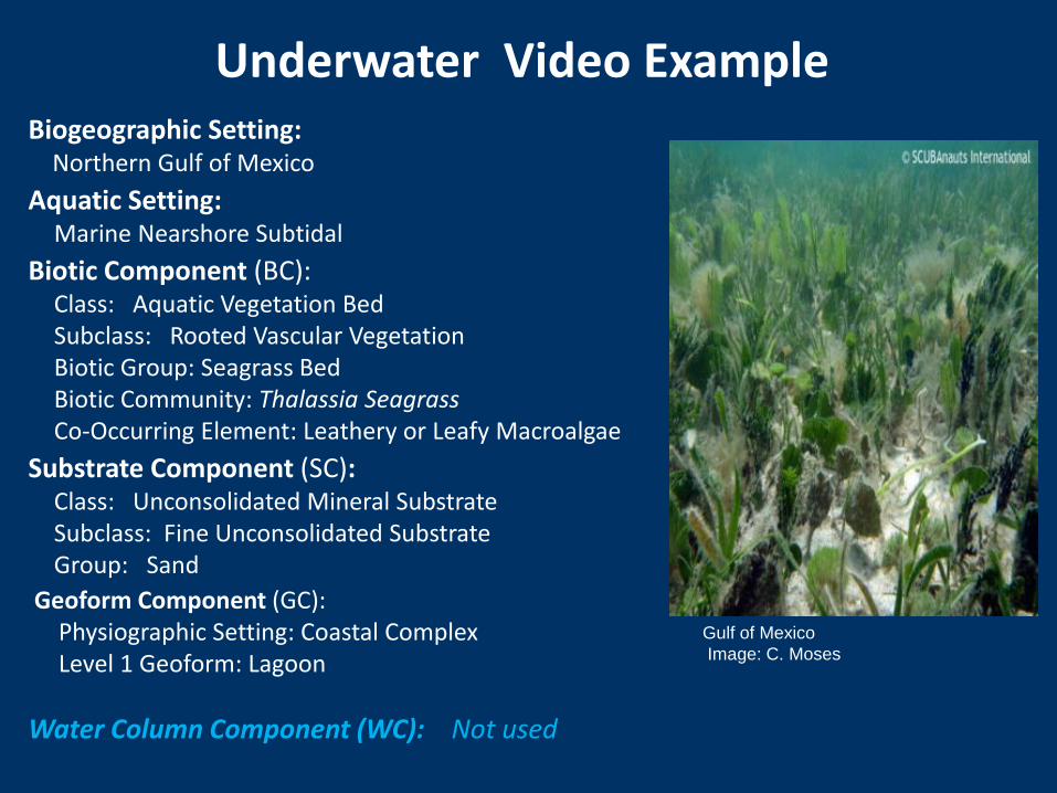
Gulf of Mexico
Image: C. Moses
Biogeographic Setting:Northern Gulf of Mexico
Aquatic Setting:Marine Nearshore Subtidal
Biotic Component (BC):Class: Aquatic Vegetation Bed Subclass: Rooted Vascular VegetationBiotic Group: Seagrass BedBiotic Community: Thalassia SeagrassCo-Occurring Element: Leathery or Leafy Macroalgae
Substrate Component (SC):Class: Unconsolidated Mineral SubstrateSubclass: Fine Unconsolidated Substrate Group: Sand
Geoform Component (GC):Physiographic Setting: Coastal ComplexLevel 1 Geoform: Lagoon
Water Column Component (WC): Not used
Underwater Video Example
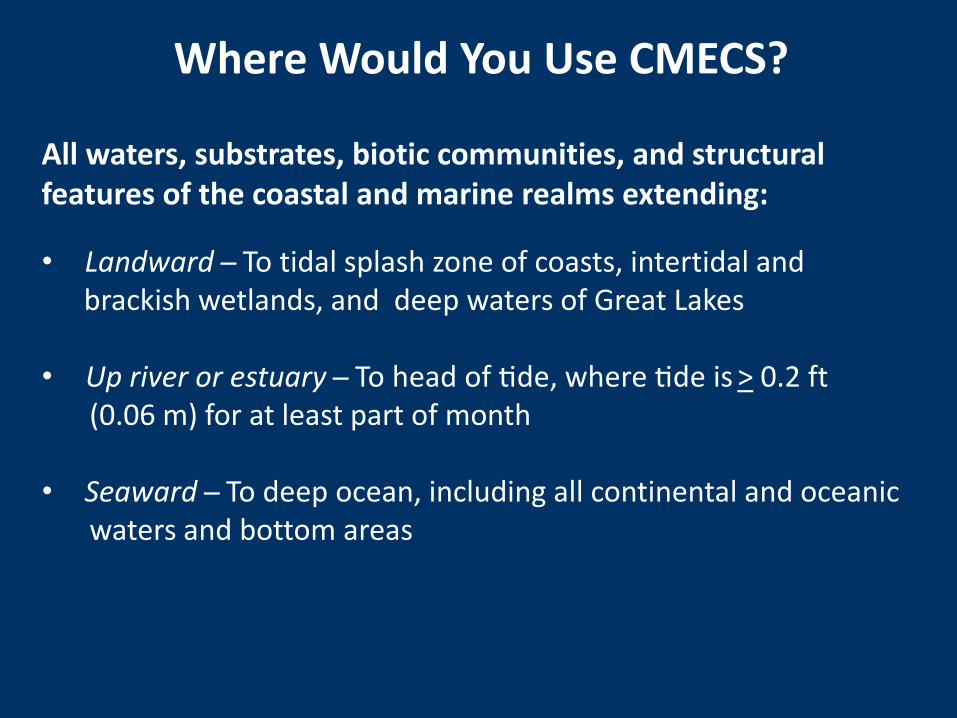
Where Would You Use CMECS?
All waters, substrates, biotic communities, and structural features of the coastal and marine realms extending:
• Landward ̶ To tidal splash zone of coasts, intertidal and brackish wetlands, and deep waters of Great Lakes
• Up river or estuary ̶ To head of tide, where tide is > 0.2 ft(0.06 m) for at least part of month
• Seaward ̶ To deep ocean, including all continental and oceanic waters and bottom areas
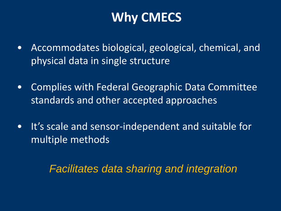
• Accommodates biological, geological, chemical, and physical data in single structure
• Complies with Federal Geographic Data Committee standards and other accepted approaches
• It’s scale and sensor-independent and suitable for multiple methods
Facilitates data sharing and integration
Why CMECS
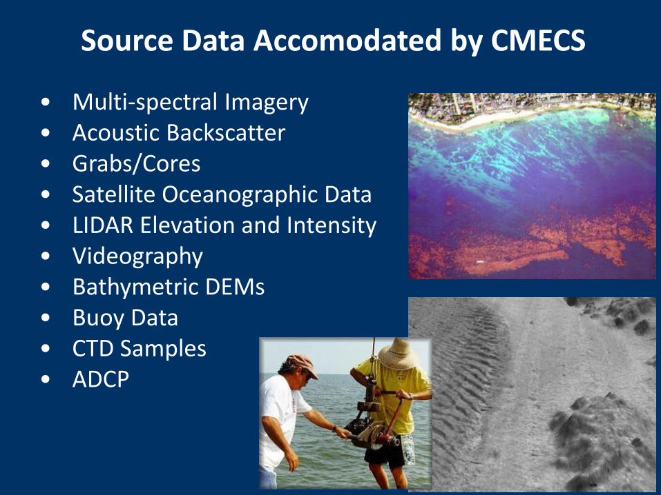
• Multi-spectral Imagery• Acoustic Backscatter• Grabs/Cores• Satellite Oceanographic Data• LIDAR Elevation and Intensity• Videography• Bathymetric DEMs• Buoy Data• CTD Samples• ADCP
Source Data Accomodated by CMECS

Attributing Observations and Mapping
• Spatial Dominance
• Co-occurring Elements
• Scale or Minimum Mapping Unit
• Provisional Units
• Ephemeral Units
No requirement to use units or components for which you don’t have data
No requirement to remove more detailed information
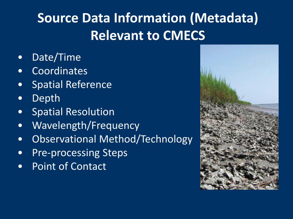
• Date/Time• Coordinates• Spatial Reference• Depth• Spatial Resolution• Wavelength/Frequency• Observational Method/Technology• Pre-processing Steps• Point of Contact
Source Data Information (Metadata) Relevant to CMECS
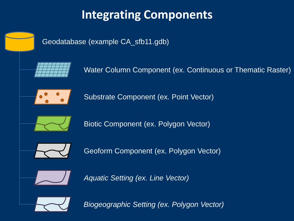
Integrating Components
Geodatabase (example CA_sfb11.gdb)
Aquatic Setting (ex. Line Vector)
Geoform Component (ex. Polygon Vector)
Biotic Component (ex. Polygon Vector)
Substrate Component (ex. Point Vector)
Water Column Component (ex. Continuous or Thematic Raster)
Biogeographic Setting (ex. Polygon Vector)
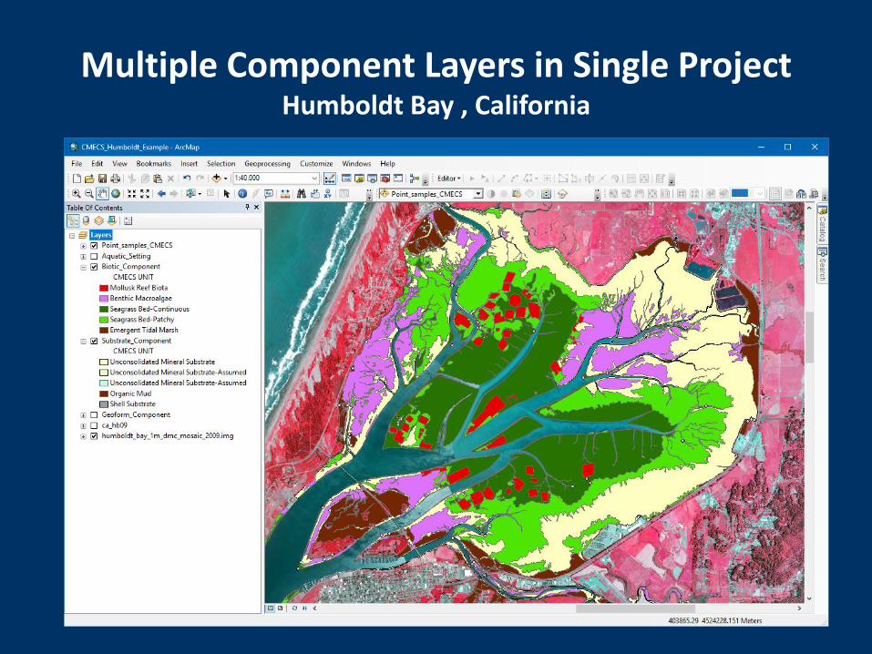
Multiple Component Layers in Single ProjectHumboldt Bay , California
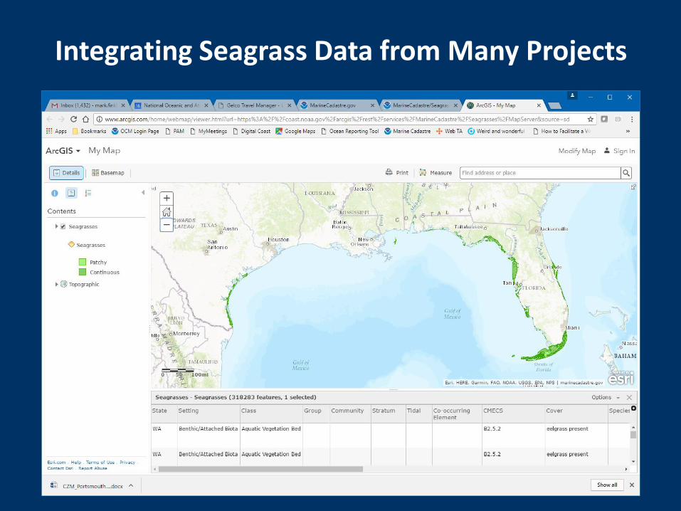
Integrating Seagrass Data from Many Projects
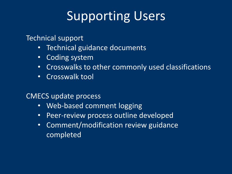
Supporting Users
Technical support• Technical guidance documents• Coding system• Crosswalks to other commonly used classifications • Crosswalk tool
CMECS update process• Web-based comment logging• Peer-review process outline developed• Comment/modification review guidance
completed
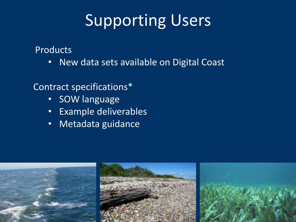
Supporting Users
Products• New data sets available on Digital Coast
Contract specifications*• SOW language• Example deliverables• Metadata guidance
CMECS Web Site iocm.noaa.gov/cmecs
CMECS Unit Catalogwww.cmecscatalog.org
Contact Information
User Community List-Serve
Resources