Embed Size (px)
Citation preview
Creating Geospatial Metadata for the Long-term
Lynda WayneFederal Geographic Data Committee
Geospatial One-Stop
GeoMaxim
Metadata… again?
Metadata has long been promoted by the Federal Geographic Data Committee (FGDC), state GIS coordinators, and project managers as a means to: preserve organizational data investments instill data accountability and liability facilitate data sharing.
The Times They are a Changin’
International metadata standard
ISO ANSI transitional process guidance documents and presentations tools under development stay the course (CSDGM)
all shall be well…
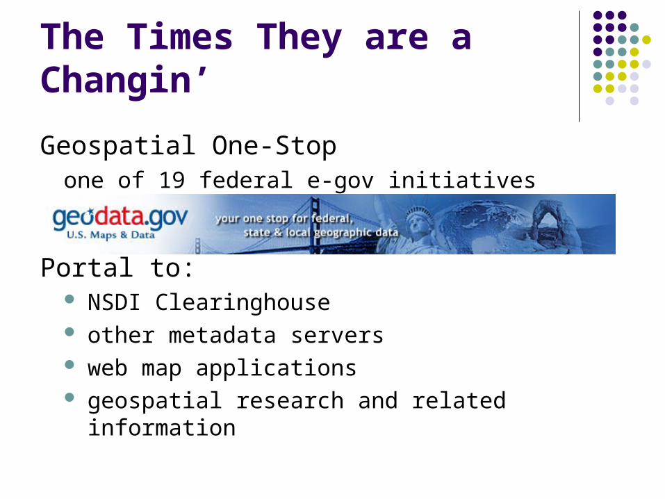
The Times They are a Changin’
Geospatial One-Stopone of 19 federal e-gov initiatives
Portal to: NSDI Clearinghouse other metadata servers web map applications geospatial research and related information
Metadata: official language for the geospatial community
data discovery and clearinghouse operations data exchange and use data management
ESRI ArcCatalog Intergraph SMMS
quality metadata is operational metadata…
GIS Internal Metadata
GIS tools enable data management via metadata: search for existing, in-house data products track updates, relates and other operations auto populate dataset properties preview data geography and dbase build templates for fixed descriptive info maintain multilevel metadata
metadata is the fuel for data management…
Go Beyond the Minimum
CSDGM mandatory elements are those common to all data types and organizations not most critical
value of metadata is to capture that which is unique
time spent early, saves time spent later
Create Templates
Boilerplate your metadata:identify all pertinent fieldsprovide content for fixed fields such as:
Use_ConstraintsContactsProcess MethodologiesDistribution Methods and Liability
create organization, theme, and project templates
Links to Services and Data
Online_Linkage is a repeatable field provide multiple links to:
data download data clearinghouse webmapping applications and services
enable users to locate data and related services…
ISO Topic Categories as Keywords
select one or more categories to aid in data search and discovery (see handout)
boundaries oceans health
transportation economy society
elevation farming location
biota structure
geoscientificInformation environment
utilitiesCommunication inlandWaters
planningCadastre intelligenceMilitary
imageryBaseMapsEarthCover
climatologyMeteorologyAtmosphere
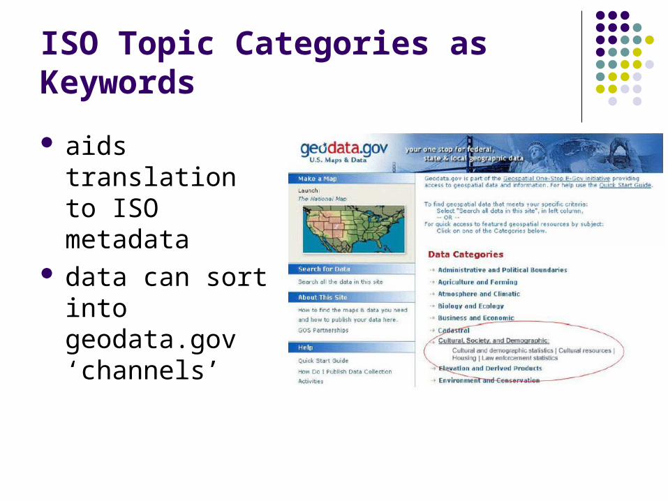
ISO Topic Categories as Keywords
aids translation to ISO metadata
data can sort into geodata.gov ‘channels’
Document Planned Data Acquisitions
promotes data development partnering required of federal agencies
$1 million current $500,000 next fiscal year
geodata.gov ‘Status’ provided as a data search element calls for partnerships can be featured within
Channels
Publish or Perish…geodata.gov
Metadata Harvest Register node/service at geodata.gov metadata will be regularly harvested & updated harvest counselor program
Metadata Upload register and upload at geodata.gov
Metadata Online Creation online tool at geodata.gov for bare metadata
creation
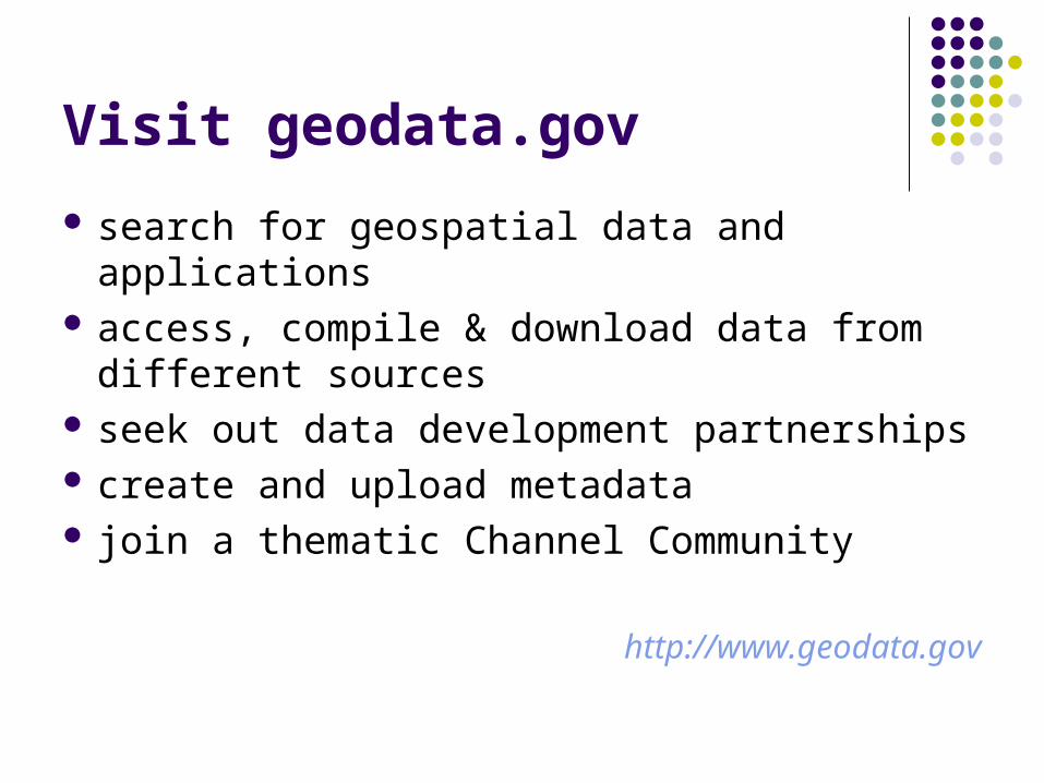
Visit geodata.gov
search for geospatial data and applications access, compile & download data from
different sources seek out data development partnerships create and upload metadata join a thematic Channel Community
http://www.geodata.gov
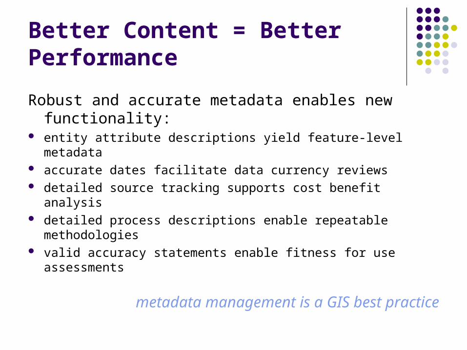
Better Content = Better Performance
Robust and accurate metadata enables new functionality:
entity attribute descriptions yield feature-level metadata accurate dates facilitate data currency reviews detailed source tracking supports cost benefit analysis detailed process descriptions enable repeatable methodologies valid accuracy statements enable fitness for use assessments
metadata management is a GIS best practice
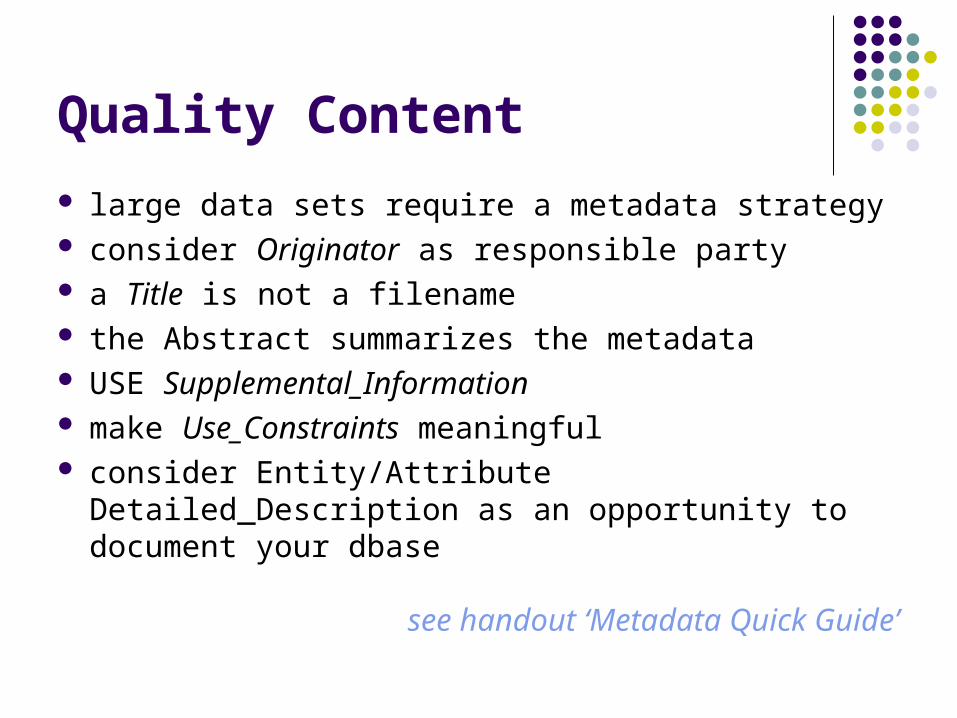
Quality Content
large data sets require a metadata strategy consider Originator as responsible party a Title is not a filename the Abstract summarizes the metadata USE Supplemental_Information make Use_Constraints meaningful consider Entity/Attribute Detailed_Description as an
opportunity to document your dbase
see handout ‘Metadata Quick Guide’
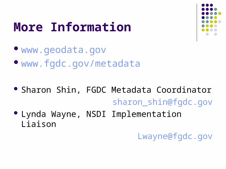
More Information
www.geodata.govwww.fgdc.gov/metadata
Sharon Shin, FGDC Metadata Coordinator
[email protected] Lynda Wayne, NSDI Implementation Liaison
Question?
What is your next step in implementing or enhancing metadata creation within your organization?