Embed Size (px)
Citation preview

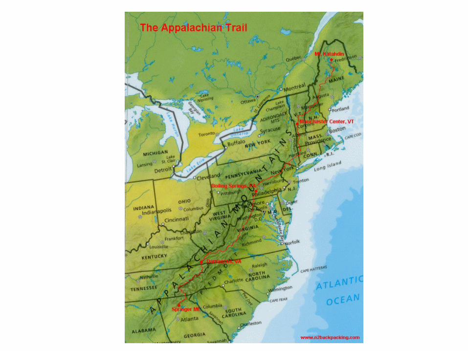
Geographic UnderstandingsNumber One
• Geographic Understandings SS8G1 The student will describe Georgia with regard to
physical features and location. • a. Locate Georgia in relation to region, nation,
continent, and hemispheres. • b. Describe the five geographic regions of Georgia; include the Blue Ridge Mountains,
Valley and Ridge, Appalachian Plateau, Piedmont, and Coastal Plain.
• c. Locate and evaluate the importance of key physical features on the development of
Georgia; include the Fall Line, Okefenokee Swamp, Appalachian Mountains, Chattahoochee
and Savannah Rivers, and barrier islands. • d. Evaluate the impact of climate on Georgia’s
development.
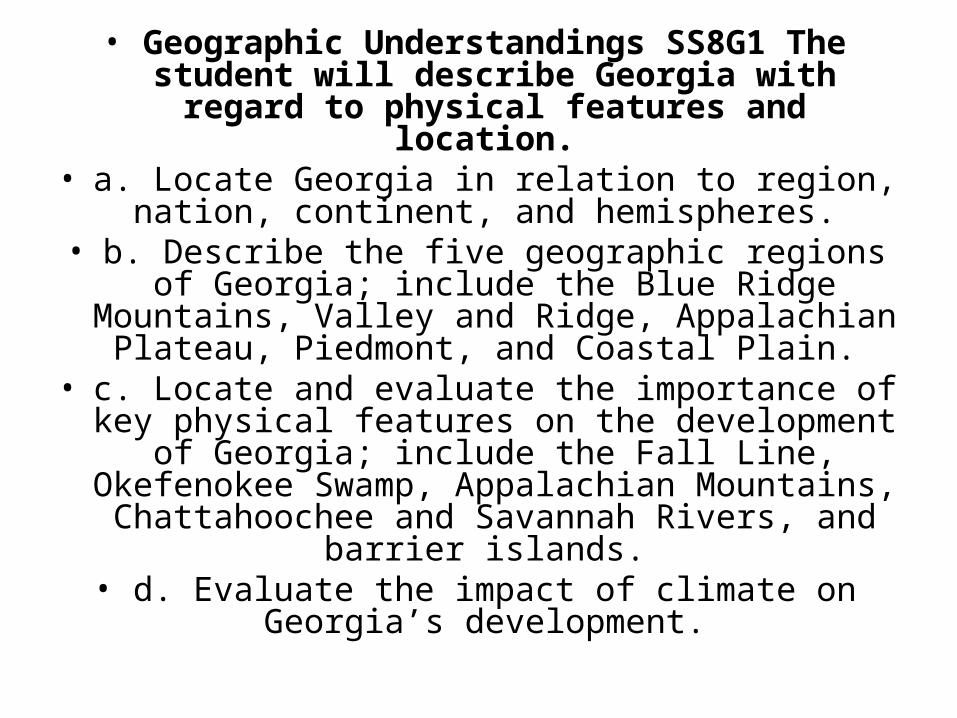
Locate Georgia in relation to region, nation, continent, and hemispheres.
• Georgia is located in the southeast region of the United States.
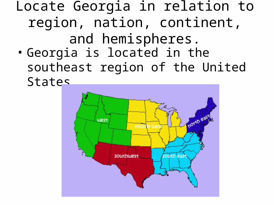
• Georgia is located on the North American continent.
Locate Georgia in relation to region, nation, continent, and hemispheres.
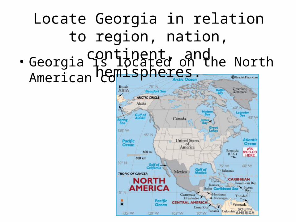
Locate Georgia in relation to region, nation, continent, and hemispheres.
• Georgia is located on the north western hemisphere.
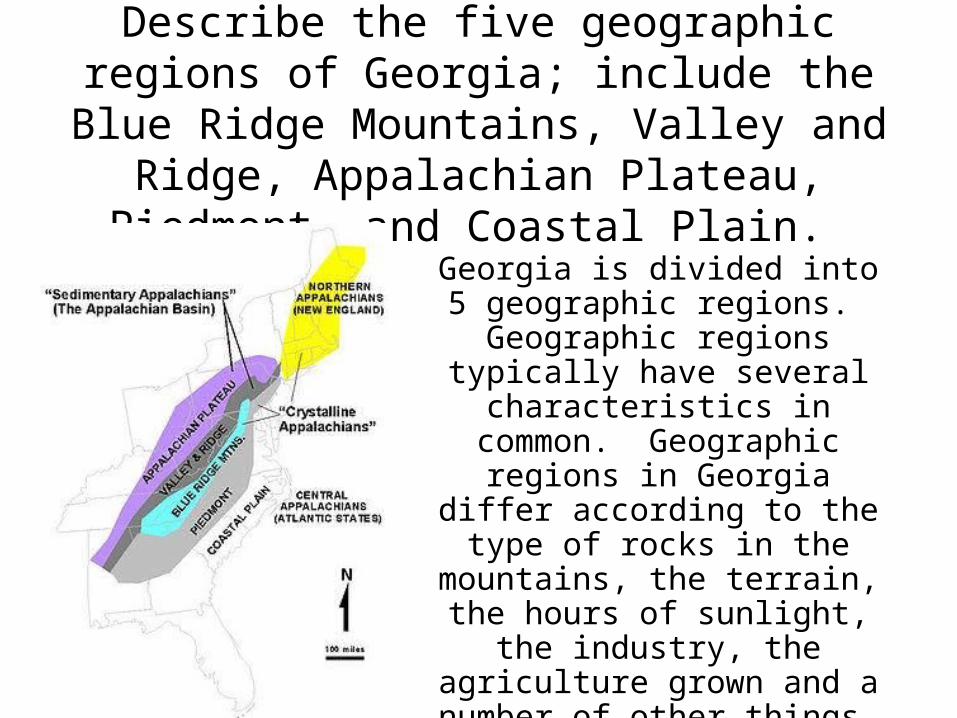
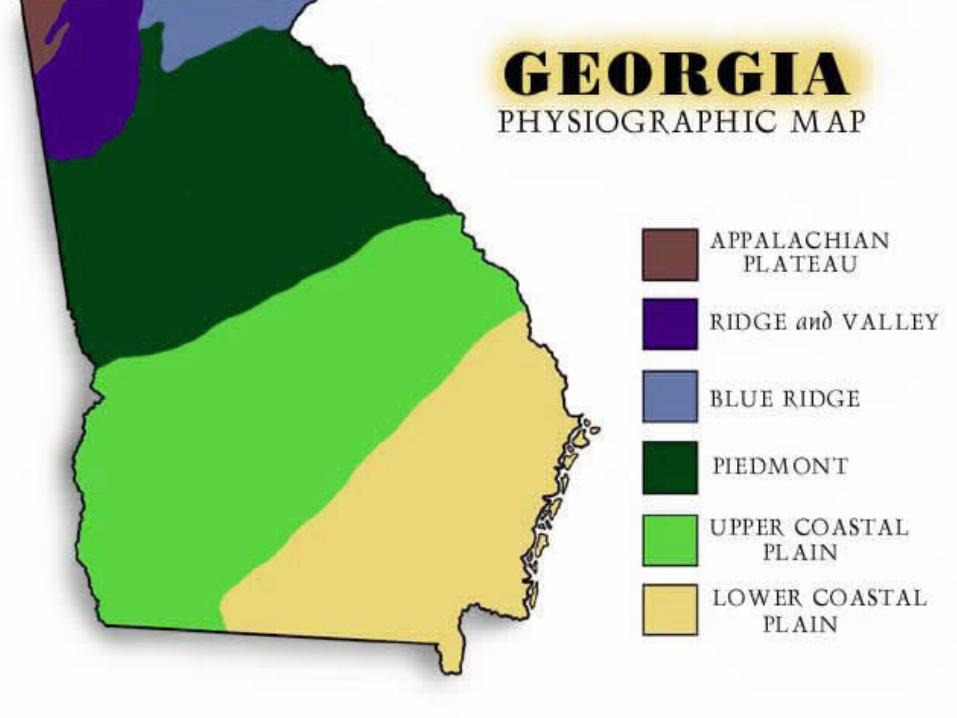
Describe the five geographic regions of Georgia; include the Blue Ridge Mountains,
Valley and Ridge, Appalachian Plateau, Piedmont, and Coastal Plain.
Georgia is divided into 5 geographic regions.
Geographic regions typically have several characteristics in common. Geographic regions in Georgia differ according to
the type of rocks in the mountains, the terrain, the
hours of sunlight, the industry, the agriculture grown and a
number of other things.
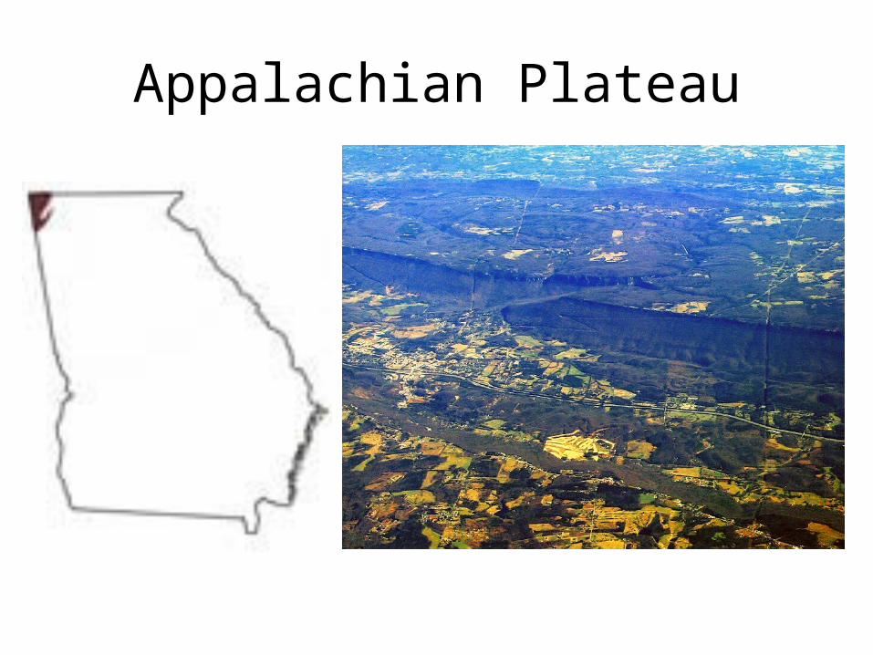
Appalachian Plateau
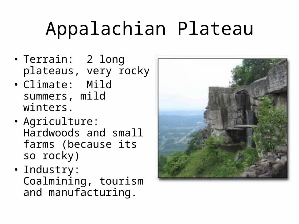
Appalachian Plateau
• Terrain: 2 long plateaus, very rocky
• Climate: Mild summers, mild winters.
• Agriculture: Hardwoods and small farms (because its so rocky)
• Industry: Coalmining, tourism and manufacturing.
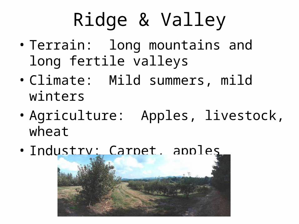
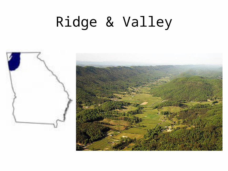
Ridge & Valley• Terrain: long mountains and long fertile
valleys
• Climate: Mild summers, mild winters
• Agriculture: Apples, livestock, wheat
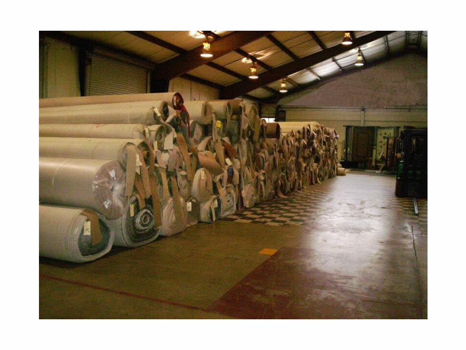
• Industry: Carpet, apples
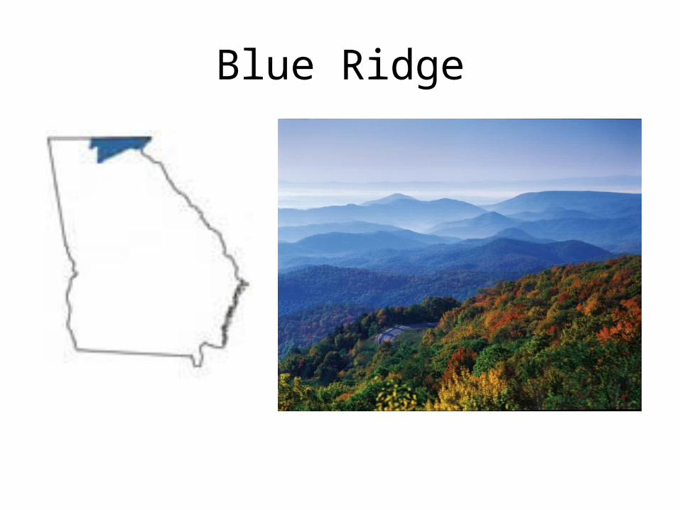
Blue Ridge
Blue Ridge
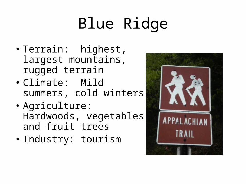
• Terrain: highest, largest mountains, rugged terrain
• Climate: Mild summers, cold winters
• Agriculture: Hardwoods, vegetables and fruit trees
• Industry: tourism
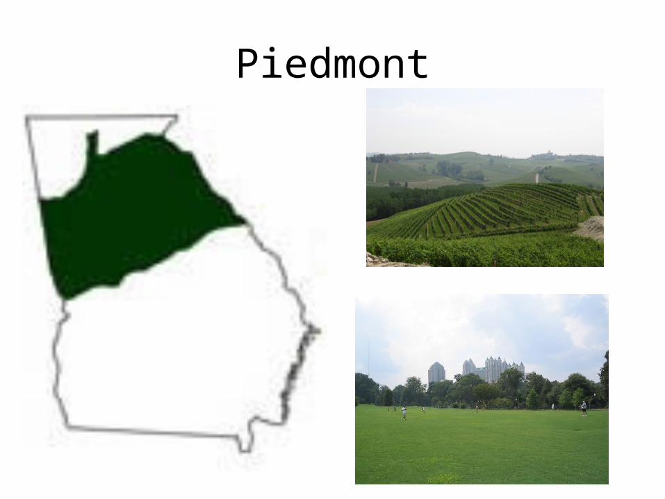
Piedmont
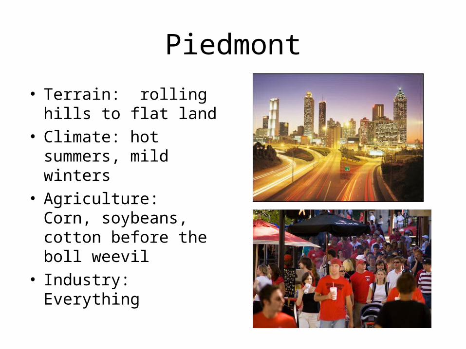
Piedmont
• Terrain: rolling hills to flat land
• Climate: hot summers, mild winters
• Agriculture: Corn, soybeans, cotton before the boll weevil
• Industry: Everything
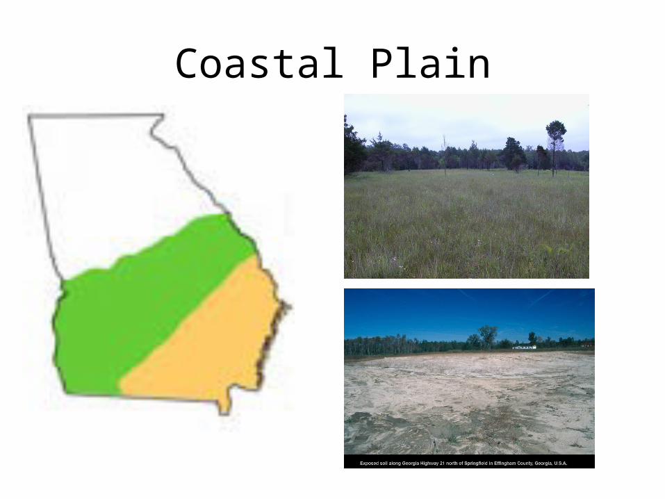
Coastal Plain
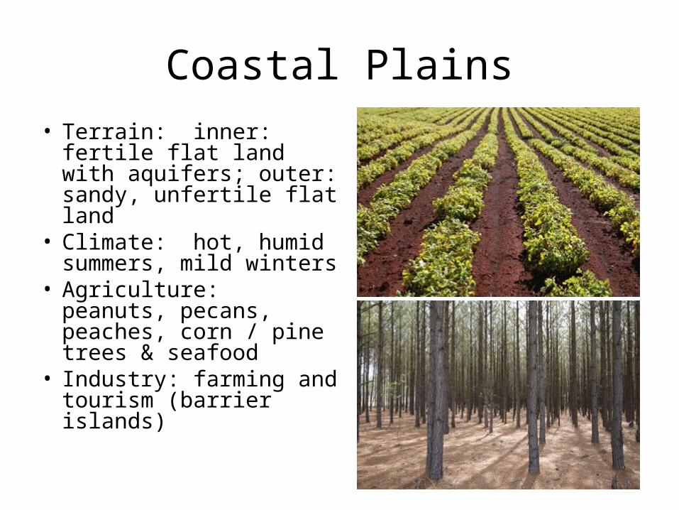
Coastal Plains
• Terrain: inner: fertile flat land with aquifers; outer: sandy, unfertile flat land
• Climate: hot, humid summers, mild winters
• Agriculture: peanuts, pecans, peaches, corn / pine trees & seafood
• Industry: farming and tourism (barrier islands)
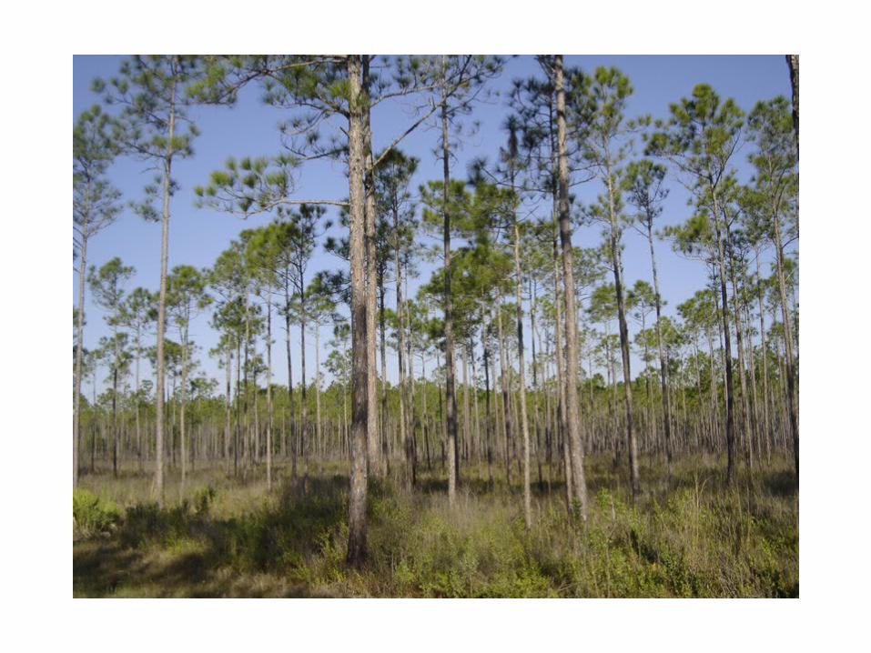
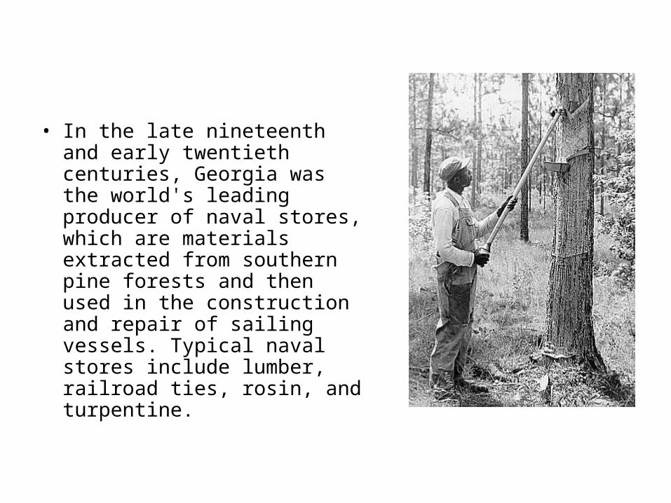
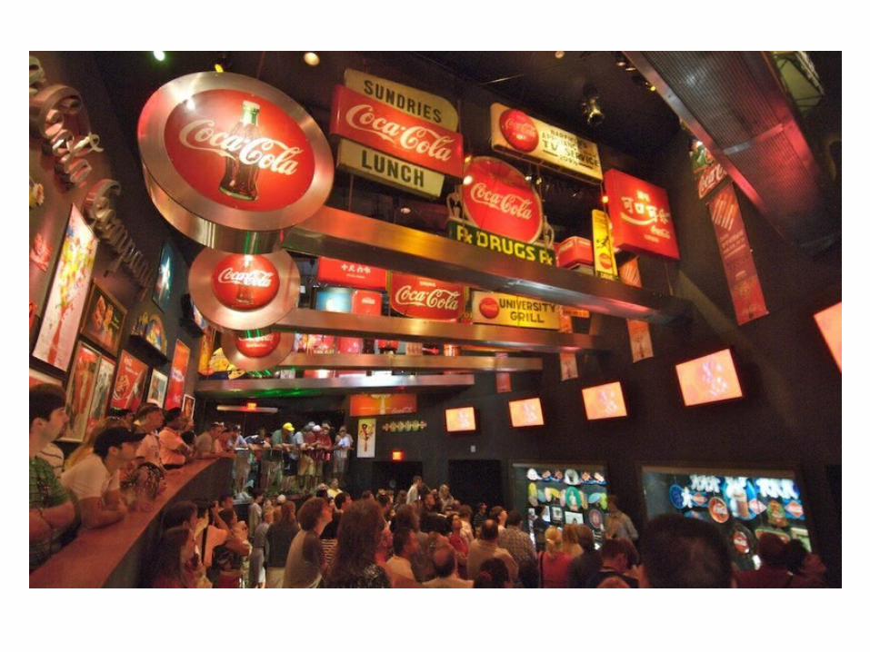
• In the late nineteenth and early twentieth centuries, Georgia was the world's leading producer of naval stores, which are materials extracted from southern pine forests and then used in the construction and repair of sailing vessels. Typical naval stores include lumber, railroad ties, rosin, and turpentine.
Locate and evaluate the importance of key physical features on the
development of Georgia; include the Fall Line, Okefenokee Swamp,
Appalachian Mountains, Chattahoochee and Savannah Rivers,
and barrier islands.
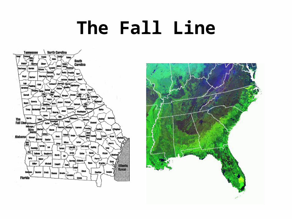
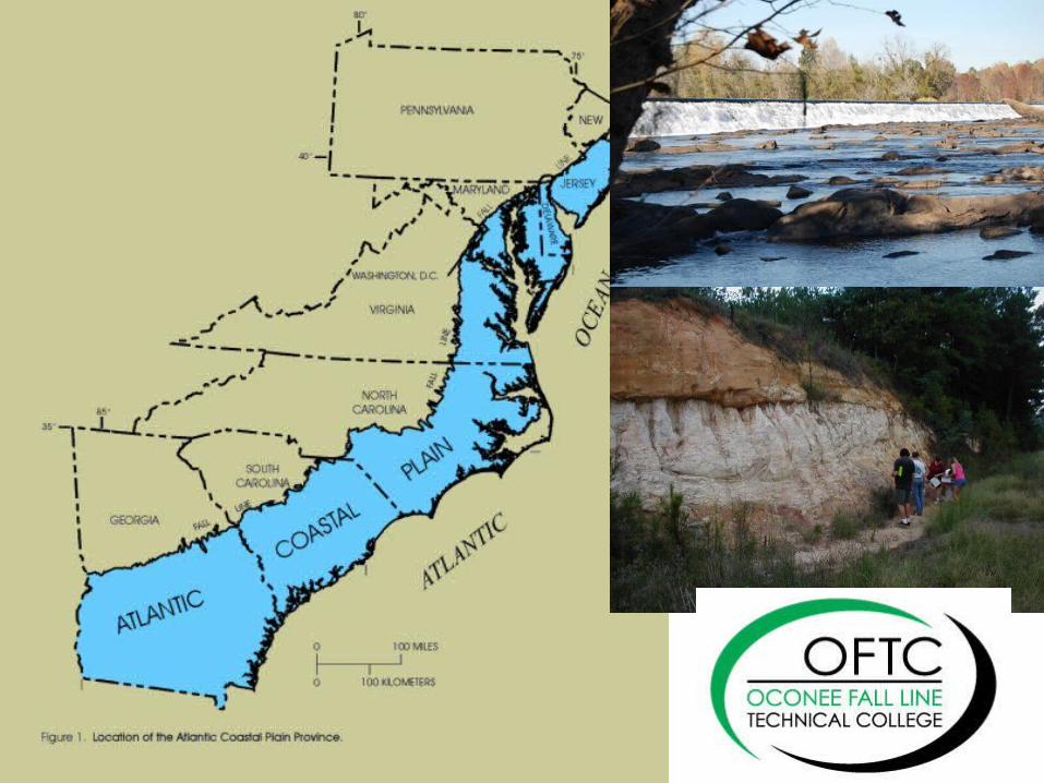
The Fall Line
The Fall Line & Development in Georgia
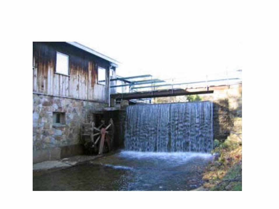
• The Fall Line is a geological boundary that is about 20 miles wide. Hundreds of thousands of years ago it was the shoreline of the Atlantic Ocean. The falls that gives rise to the term fall line are the shoals or waterfalls caused by the first exposure of crystalline rocks encountered when traveling upstream in rivers of the Coastal Plain. These falls represent a barrier to navigation. Rivers of the Coastal Plain were a major means of commercial transportation during the 1700s and early 1800s. The cities of Columbus, Macon, Milledgeville, and Augusta were located at the fall lines of the Chattahoochee, Ocmulgee, Oconee, and Savannah rivers, respectively. They became early centers of commerce because of their positions at the upstream limit of navigation. Also the waterfalls helped to generate electricity.
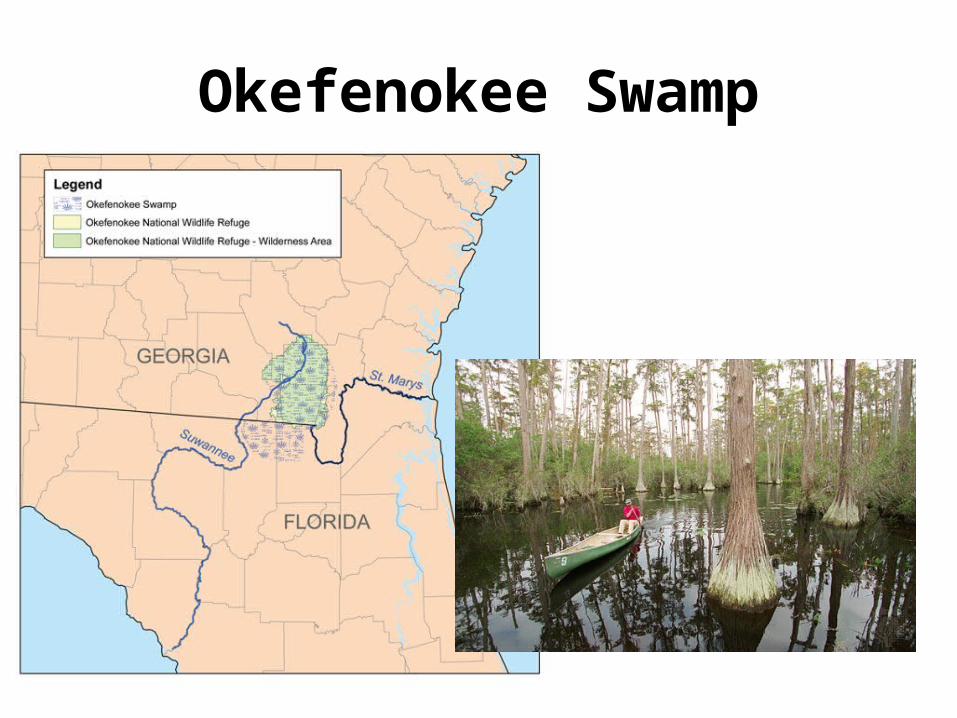
Okefenokee Swamp
Okefenokee Swamp& Development in Georgia
• In logging operations beginning in 1910 and lasting for a quarter of a century, thousands of cypress, pine, and red bay trees were removed from the swamp creating an economic boom for the people in the area. Some were among the largest and oldest individuals of their kind left in the country. In 1937 U.S. president Franklin D. Roosevelt provided official protection from logging and development by establishing the Okefenokee National Wildlife Refuge, which constitutes about 80 percent of the swamp. The absence of roads helps to maintain the integrity of the swamp ecosystem; canoe trails are the primary travel routes through the swamp. Now thousands of tourist flock to the swamp to reconnect with nature, which once again brings economic benefit to the area. The Okefenokee is also the headwaters to two main rivers: the Suwannee and the St. Mary’s.
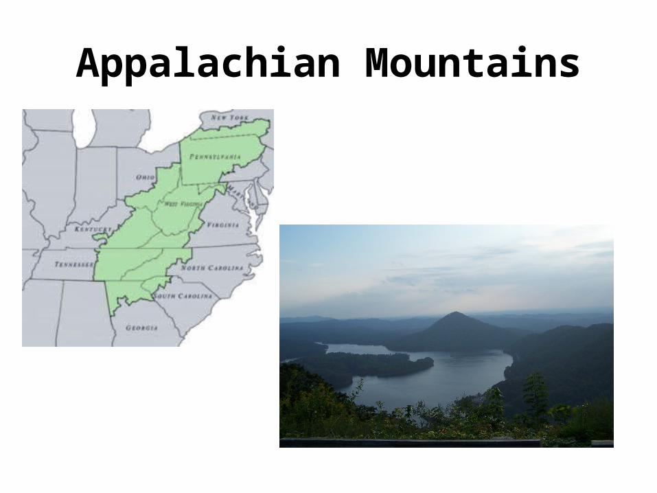
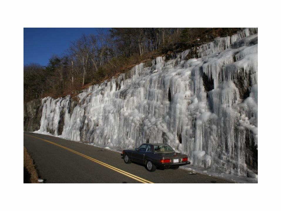
Appalachian Mountains
Appalachian Mountains & Development in Georgia
• The discovery of gold in the mountains of north Georgia brought a flood of people and a huge economic boom to the area. These mountains however brought the White man into Georgia long before gold was discovered. Because of the rough terrain western migration was unlikely for most therefore many people would travel south to go around the mountains. With the mountains ending in Georgia it brought many travelers. Many of them liking Georgia so much that they decided to stay.
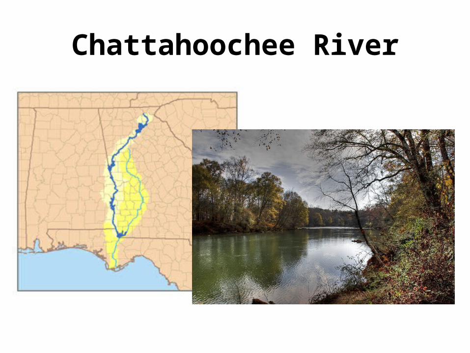
Chattahoochee River
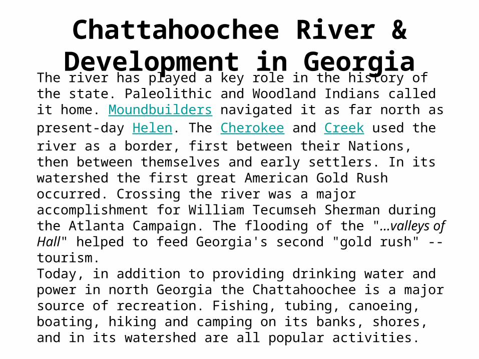
Chattahoochee River & Development in Georgia
The river has played a key role in the history of the state. Paleolithic and Woodland Indians called it home. Moundbuilders navigated it as far north as present-day Helen. The Cherokee and Creek used the river as a border, first between their Nations, then between themselves and early settlers. In its watershed the first great American Gold Rush occurred. Crossing the river was a major accomplishment for William Tecumseh Sherman during the Atlanta Campaign. The flooding of the "...valleys of Hall" helped to feed Georgia's second "gold rush" -- tourism. Today, in addition to providing drinking water and power in north Georgia the Chattahoochee is a major source of recreation. Fishing, tubing, canoeing, boating, hiking and camping on its banks, shores, and in its watershed are all popular activities.
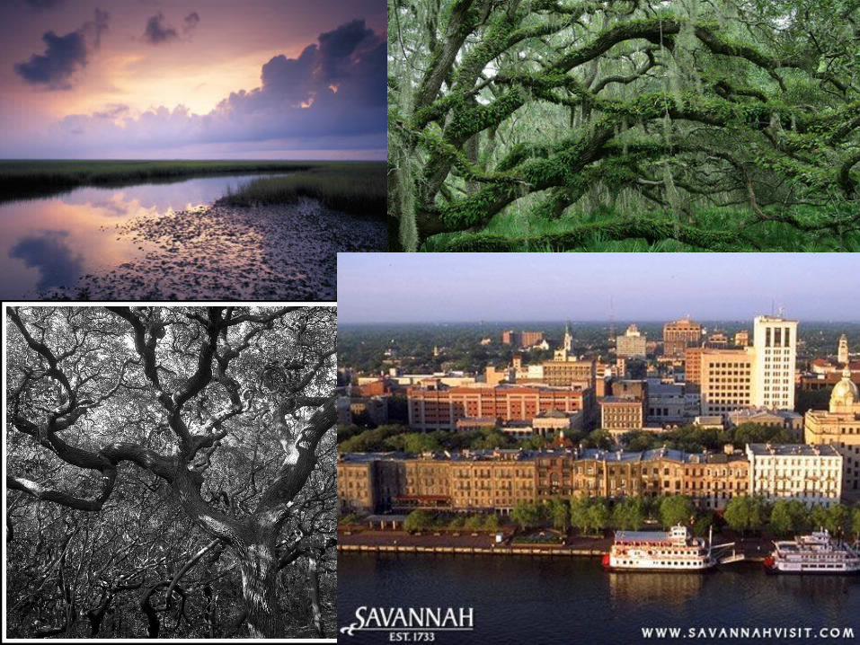
Savannah River
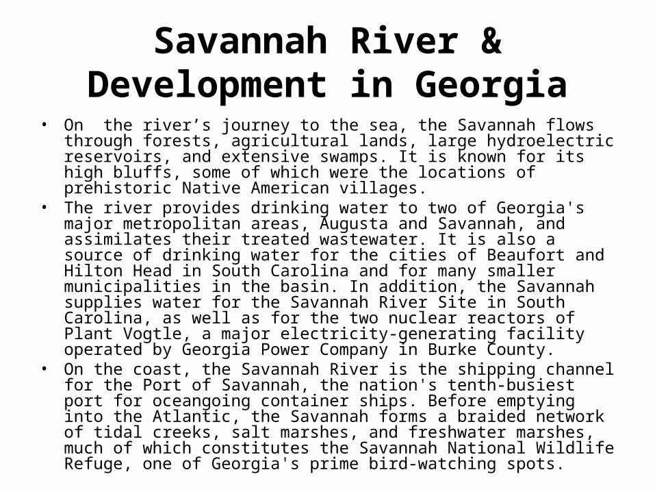
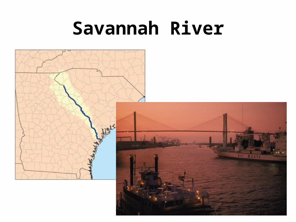
Savannah River & Development in Georgia
• On the river’s journey to the sea, the Savannah flows through forests, agricultural lands, large hydroelectric reservoirs, and extensive swamps. It is known for its high bluffs, some of which were the locations of prehistoric Native American villages.
• The river provides drinking water to two of Georgia's major metropolitan areas, Augusta and Savannah, and assimilates their treated wastewater. It is also a source of drinking water for the cities of Beaufort and Hilton Head in South Carolina and for many smaller municipalities in the basin. In addition, the Savannah supplies water for the Savannah River Site in South Carolina, as well as for the two nuclear reactors of Plant Vogtle, a major electricity-generating facility operated by Georgia Power Company in Burke County.
• On the coast, the Savannah River is the shipping channel for the Port of Savannah, the nation's tenth-busiest port for oceangoing container ships. Before emptying into the Atlantic, the Savannah forms a braided network of tidal creeks, salt marshes, and freshwater marshes, much of which constitutes the Savannah National Wildlife Refuge, one of Georgia's prime bird-watching spots.
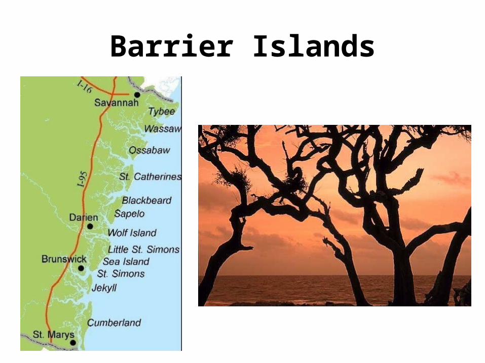
Barrier Islands
Barrier Islands & Development in Georgia
• This was the first part of Georgia to be explored and settle in Georgia. Before the White man came to these parts Native Americans traveled to the coast of Georgia to eat oysters. They threw the shells into heaping piles which still exist today. These 40 foot mounds are called middens. Because of the nature deepwater ports in what is now Savannah and Brunswick, this enabled Oglethorpe’s ships to pull right up to the land and get off the ships. This is the reason that Savannah became our first city and capital. To this day the cities of Savannah and Brunswick are the principal ports and centers for industrial development in Georgia. Coastal fisheries and forest resources support a number of industries engaged in processing, manufacturing, and marketing seafoods and wood products. In general, tourism and recreation, shipping at the ports of Savannah and Augusta, papermaking, commercial fishing, and forestry have been the most important economic activities of Georgia's modern coast. Over the decades the pulp and paper industry expanded at the expense of the fishing industry, which has suffered greatly from pollution caused by the paper mills.
More on Barrier Islands
• The Barrier Islands first became settled by White man when some of the wealthiest people in the world built winter ”cottages” there.
• The Barrier Islands protect Georgia’s mainland from damaging hurricanes and wind, sand and erosion.
Evaluate the impact of climate on Georgia’s development.
• If you like the idea of living in the sunny South but want to see breathtaking fall foliage and an occasional snowfall, Georgia is the place to be. Summers are warm; autumns are brisk and sunny. Winters are mild and give way quickly to exhilarating springs with legendary dogwoods and azaleas.
• • Georgia’s temperatures vary widely because of its wonderfully
diverse topography. Extreme conditions can be found in the northernmost and southernmost parts of the state, but overall the state’s climate is moderate. Statewide, summer temperatures average below 90 degrees and the lowest winter temperatures stay well above freezing.
• • The state receives 40 to 50 inches of rain per year. North Georgia
experiences a light snowfall several times a year while other areas, especially south of the Piedmont region, rarely see snow.
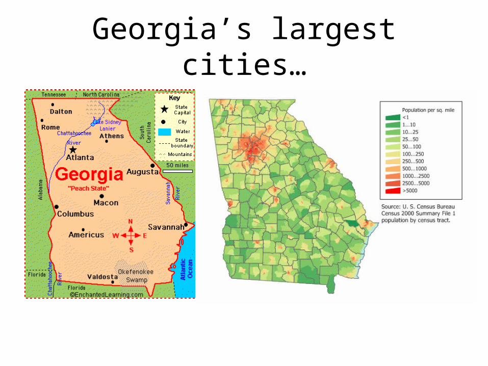
Georgia’s largest cities…
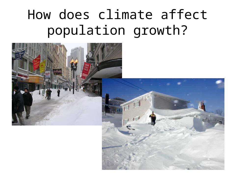
How does climate affect population growth?