Embed Size (px)
Citation preview
GEOG 482/582 / My Course / University of Washington
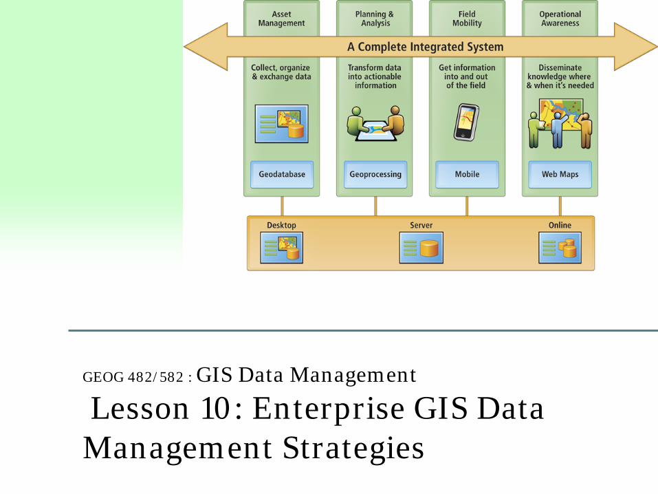
GEOG 482/582 : GIS Data Management
Lesson 10: Enterprise GIS Data Management Strategies
GEOG 482/582 / My Course / University of Washington
Overview Learning Objective Questions: 1. What are challenges for multi-user database environments? 2. What is Enterprise GIS? 3. What are the major goals to multi-user data sharing? 4. What are approaches to geospatial data sharing? 5. What are three approaches to enterprise data management
and how can we characterize them? 6. What is data warehousing? 7. What is a federated database system?
Lesson Preview Learning objective questions act as the lesson outline. Questions beg answers.
GEOG 482/582 / My Course / University of Washington
1. What are challenges for the multi-user database environments? Multiple representations of data – one of the most complex
challenges in a database environment; consider scale, projection, geodetic datum, data format, and symbology
Common user interface – provide same look and feel and reduce cost
of maintenance Concurrent access and security – database integrity and address
data inconsistency among multiple users Standards – hardware, software, communications protocols are needed
to create a harmonious environment Metadata support – needed to determine fitness for use Systems Architecture – Use Warehouse or Federated Database
Approach
GEOG 482/582 / My Course / University of Washington
Multi-user GIS data management strategies Three contexts for multi-user data management • Workgroup data management– file geodatabase
• Department unit GIS • Enterprise data management – SDE geodatabase
• Organization-wide GIS • Consortium data management – SDE and/or spatial data infrastructure
• Multi-organization GIS Focus of Enterprise, Workgroup and Consortium described in relation to
Enterprise
Key terms Workgroup Enterprise Consortium
GEOG 482/582 / My Course / University of Washington
2. What is Enterprise GIS?
Enterprise GIS is a platform for delivering organization-wide geospatial capabilities while improving access to geographic information and extending geospatial capabilities to diverse users of GIS.
Advantages of deploying an enterprise GIS include: • Using a common infrastructure for building and
deploying GIS solutions • Extending geospatial capabilities to an enterprise
community • Improving capabilities of other enterprise systems by
leveraging the value of geographic information • Increasing overall operating efficiency using GIS across
an organization
GEOG 482/582 / My Course / University of Washington
Goal for enterprise GIS Important to have a clear vision for “Why Enterprise” approach Goal should be agreed to by all (many) across organization Goal: getting capabilities out to the organization so that efficiency,
effectiveness, and equity can flourish. Obviously, some information custodians will be hesitant because of
fear of data misuse / abuse Those issues need to be addressed in light of the goal
GEOG 482/582 / My Course / University of Washington
Answer questions about the need for enterprise GIS
• Is there a need for a centralized repository for enterprise data?
• Is there a central point available to the enterprise for serving data and data storage?
• Is the system, both network and hardware, adequate to support enterprise GIS data traffic?
• Is the current software sufficiently robust for the enterprise?
GEOG 482/582 / My Course / University of Washington
What is an Enterprise GIS Framework?
An enterprise GIS framework improves organization workflows since it applies a ‘geographic approach’ to relate legacy and new information for better decision making; greater efficiency with money, time, and resources; and more effective communication.
Framework has the following characteristics… • Scalable, extensible, reliable, and secure • Open, interoperable, and standards based • Capable of being effectively integrated within the enterprise • May be complex to implement; requires significant planning
and support • Delivers a high return on investment
GEOG 482/582 / My Course / University of Washington
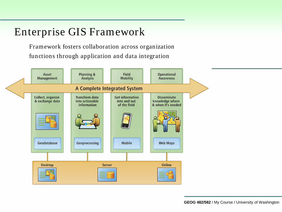
Enterprise GIS Framework Framework fosters collaboration across organization
functions through application and data integration
GEOG 482/582 / My Course / University of Washington
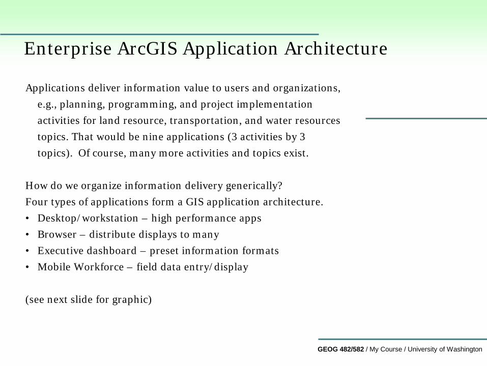
Enterprise ArcGIS Application Architecture
Applications deliver information value to users and organizations, e.g., planning, programming, and project implementation activities for land resource, transportation, and water resources topics. That would be nine applications (3 activities by 3 topics). Of course, many more activities and topics exist.
How do we organize information delivery generically? Four types of applications form a GIS application architecture. • Desktop/workstation – high performance apps • Browser – distribute displays to many • Executive dashboard – preset information formats • Mobile Workforce – field data entry/display (see next slide for graphic)
GEOG 482/582 / My Course / University of Washington
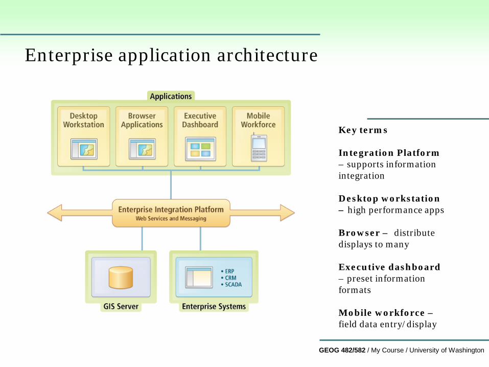
Enterprise application architecture
Key terms Integration Platform – supports information integration Desktop workstation – high performance apps Browser – distribute displays to many Executive dashboard – preset information formats Mobile workforce – field data entry/display
GEOG 482/582 / My Course / University of Washington
3. What are the major goals to multi-user data sharing?
• Multi-user databases that involve substantial data sharing have
been a long-term goal for organizations and users for decades • New technologies are making it easier
• Public, private, and not-for-profit sector are all involved
• Organizational information technology strategy
GEOG 482/582 / My Course / University of Washington
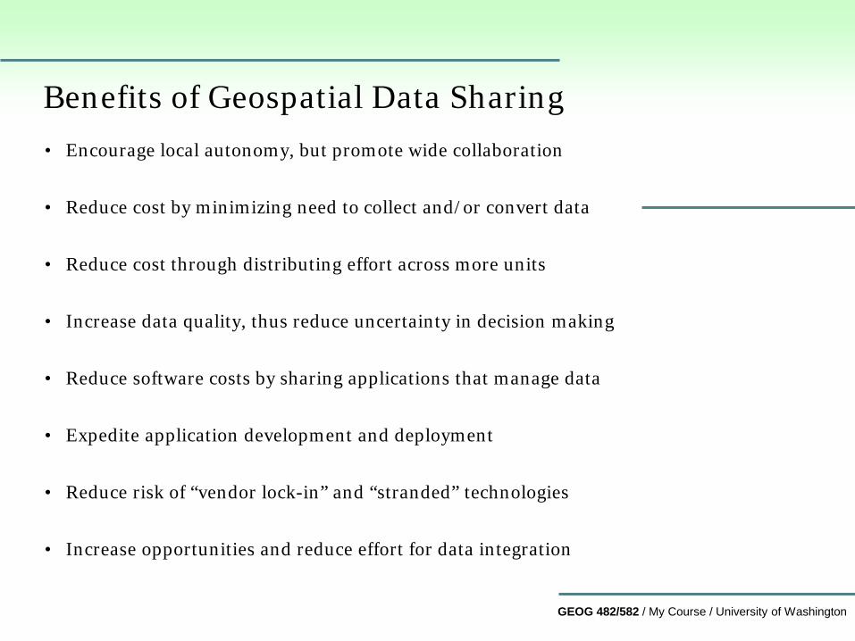
Benefits of Geospatial Data Sharing • Encourage local autonomy, but promote wide collaboration
• Reduce cost by minimizing need to collect and/or convert data
• Reduce cost through distributing effort across more units
• Increase data quality, thus reduce uncertainty in decision making
• Reduce software costs by sharing applications that manage data
• Expedite application development and deployment
• Reduce risk of “vendor lock-in” and “stranded” technologies
• Increase opportunities and reduce effort for data integration
GEOG 482/582 / My Course / University of Washington
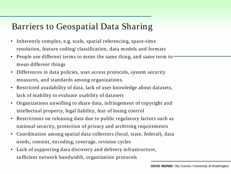
Barriers to Geospatial Data Sharing • Inherently complex, e.g. scale, spatial referencing, space-time
resolution, feature coding/classification, data models and formats • People use different terms to mean the same thing, and same term to
mean different things • Differences in data policies, user access protocols, system security
measures, and standards among organizations. • Restricted availability of data, lack of user knowledge about datasets,
lack of inability to evaluate usability of datasets • Organizations unwilling to share data, infringement of copyright and
intellectual property, legal liability, fear of losing control • Restrictions on releasing data due to public regulatory factors such as
national security, protection of privacy and archiving requirements • Coordination among spatial data collectors (local, state, federal), data
needs, content, encoding, coverage, revision cycles • Lack of supporting data discovery and delivery infrastructure,
sufficient network bandwidth, organization protocols
GEOG 482/582 / My Course / University of Washington
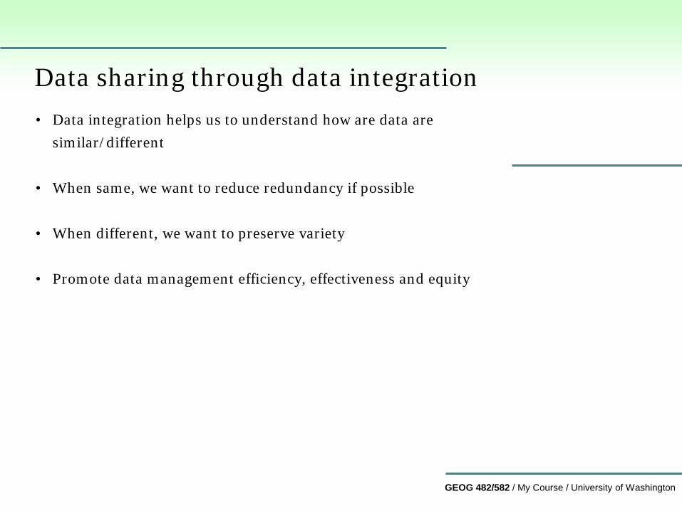
Data sharing through data integration • Data integration helps us to understand how are data are
similar/different
• When same, we want to reduce redundancy if possible
• When different, we want to preserve variety
• Promote data management efficiency, effectiveness and equity
GEOG 482/582 / My Course / University of Washington
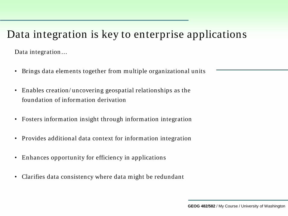
Data integration is key to enterprise applications Data integration… • Brings data elements together from multiple organizational units
• Enables creation/uncovering geospatial relationships as the
foundation of information derivation
• Fosters information insight through information integration
• Provides additional data context for information integration
• Enhances opportunity for efficiency in applications
• Clarifies data consistency where data might be redundant
GEOG 482/582 / My Course / University of Washington
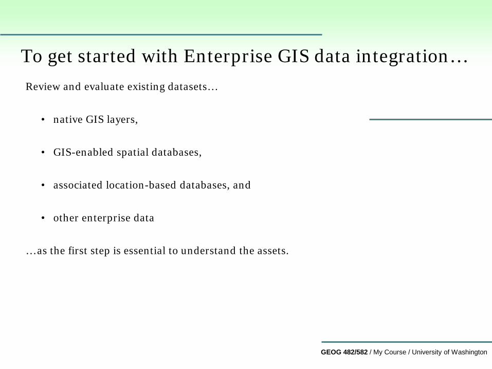
To get started with Enterprise GIS data integration… Review and evaluate existing datasets…
• native GIS layers, • GIS-enabled spatial databases,
• associated location-based databases, and • other enterprise data
… as the first step is essential to understand the assets.
GEOG 482/582 / My Course / University of Washington
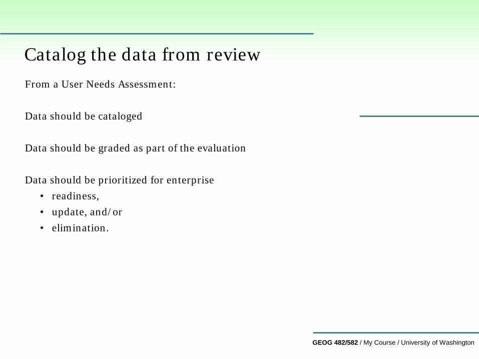
Catalog the data from review From a User Needs Assessment: Data should be cataloged Data should be graded as part of the evaluation Data should be prioritized for enterprise
• readiness, • update, and/or • elimination.
GEOG 482/582 / My Course / University of Washington
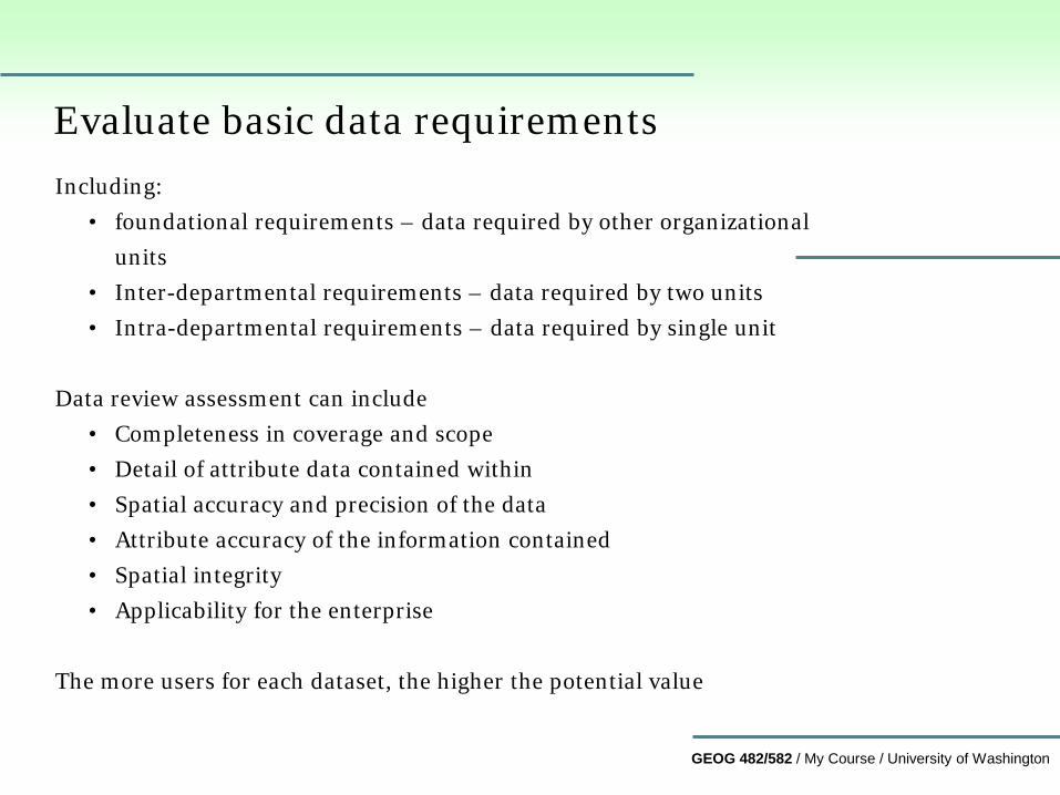
Evaluate basic data requirements Including:
• foundational requirements – data required by other organizational units
• Inter-departmental requirements – data required by two units • Intra-departmental requirements – data required by single unit
Data review assessment can include
• Completeness in coverage and scope • Detail of attribute data contained within • Spatial accuracy and precision of the data • Attribute accuracy of the information contained • Spatial integrity • Applicability for the enterprise
The more users for each dataset, the higher the potential value
GEOG 482/582 / My Course / University of Washington
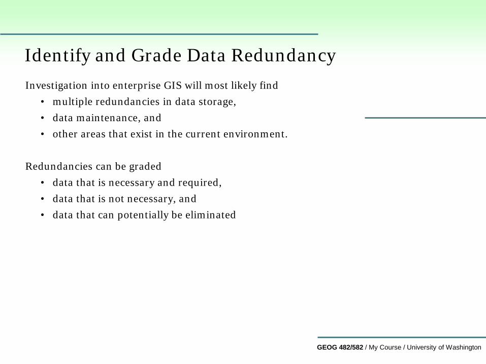
Identify and Grade Data Redundancy Investigation into enterprise GIS will most likely find
• multiple redundancies in data storage, • data maintenance, and • other areas that exist in the current environment.
Redundancies can be graded
• data that is necessary and required, • data that is not necessary, and • data that can potentially be eliminated
GEOG 482/582 / My Course / University of Washington
Address data redundancies Controlled, reduced and/or eliminated through data integration.
• Necessary (controlled) redundancy • Some redundant data may have to persist.
Redundancies in data
• may be required by local, state, or federal statutes. • not viewed as an impediment for implementing enterprise GIS.
Should be noted and implementation plans modified to include redundant data through “replication”.
GEOG 482/582 / My Course / University of Washington
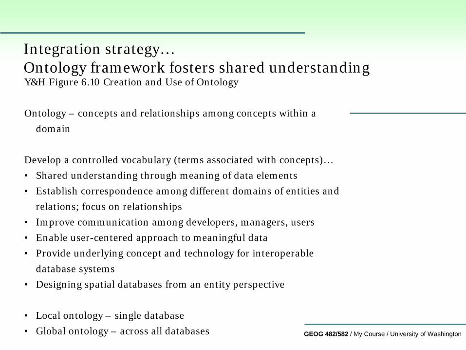
Integration strategy… Ontology framework fosters shared understanding Y&H Figure 6.10 Creation and Use of Ontology Ontology – concepts and relationships among concepts within a
domain Develop a controlled vocabulary (terms associated with concepts)… • Shared understanding through meaning of data elements • Establish correspondence among different domains of entities and
relations; focus on relationships • Improve communication among developers, managers, users • Enable user-centered approach to meaningful data • Provide underlying concept and technology for interoperable
database systems • Designing spatial databases from an entity perspective • Local ontology – single database • Global ontology – across all databases
GEOG 482/582 / My Course / University of Washington
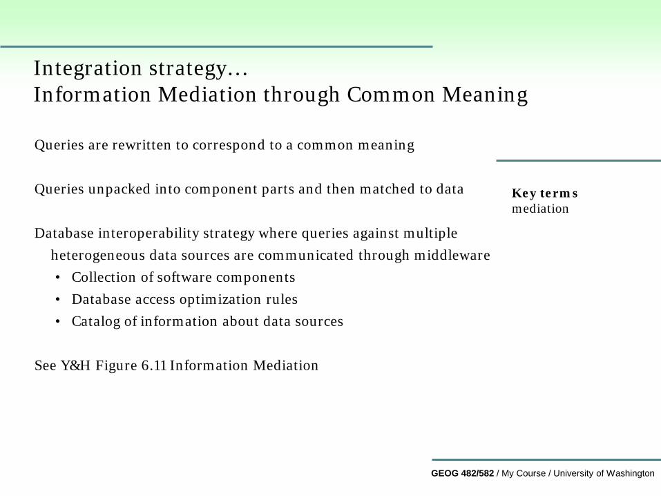
Integration strategy… Information Mediation through Common Meaning Queries are rewritten to correspond to a common meaning Queries unpacked into component parts and then matched to data Database interoperability strategy where queries against multiple
heterogeneous data sources are communicated through middleware • Collection of software components • Database access optimization rules • Catalog of information about data sources
See Y&H Figure 6.11 Information Mediation
Key terms mediation
GEOG 482/582 / My Course / University of Washington
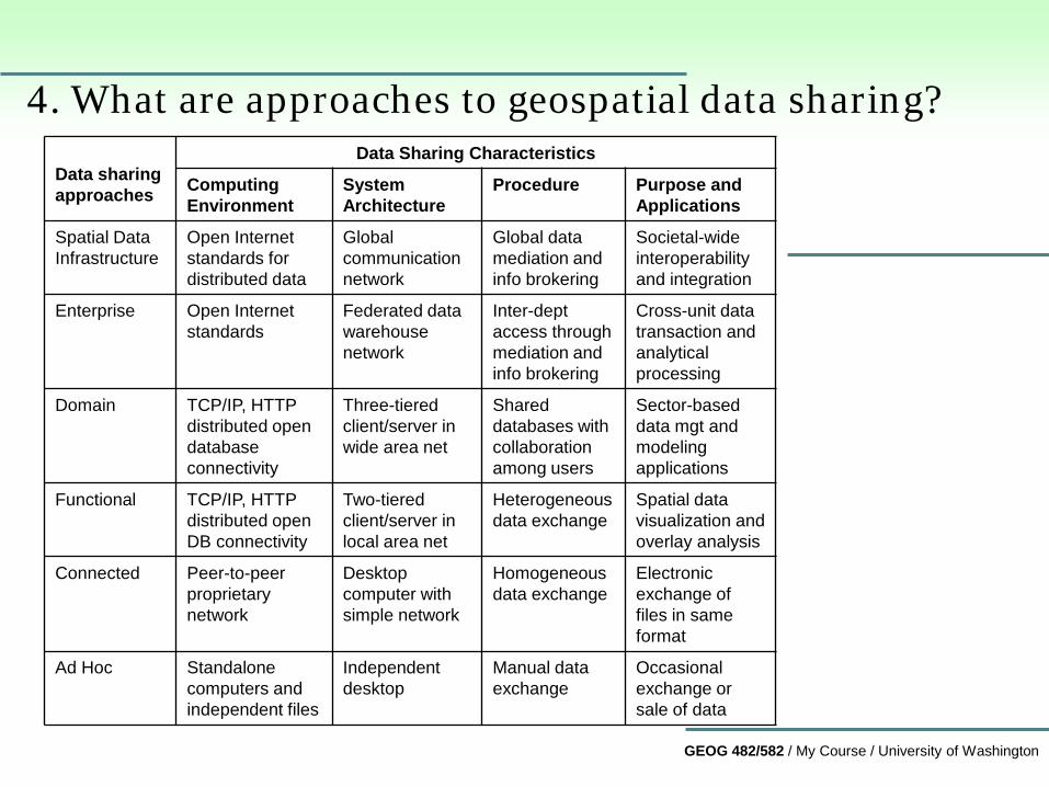
Data sharing approaches
Data Sharing Characteristics
Computing Environment
System Architecture
Procedure Purpose and Applications
Spatial Data Infrastructure
Open Internet standards for distributed data
Global communication network
Global data mediation and info brokering
Societal-wide interoperability and integration
Enterprise Open Internet standards
Federated data warehouse network
Inter-dept access through mediation and info brokering
Cross-unit data transaction and analytical processing
Domain TCP/IP, HTTP distributed open database connectivity
Three-tiered client/server in wide area net
Shared databases with collaboration among users
Sector-based data mgt and modeling applications
Functional TCP/IP, HTTP distributed open DB connectivity
Two-tiered client/server in local area net
Heterogeneous data exchange
Spatial data visualization and overlay analysis
Connected Peer-to-peer proprietary network
Desktop computer with simple network
Homogeneous data exchange
Electronic exchange of files in same format
Ad Hoc Standalone computers and independent files
Independent desktop
Manual data exchange
Occasional exchange or sale of data
4. What are approaches to geospatial data sharing?
GEOG 482/582 / My Course / University of Washington
5. What are three approaches to enterprise data management and how can we characterize them? Operational databases – support operational applications • Databases that are used everyday • Data editing occurs quite often Data Warehousing – support executive applications • merge data physically from several sources • data might be replicated, not necessarily physically moved • Replication makes a copy for faster performance Data Federation – support applications across organizational units • simultaneous online access to multiple sources • real-time access to distributed sources • improves maintenance if data copies provide a problem
GEOG 482/582 / My Course / University of Washington
6. What is data warehousing? • Subject-oriented – major applications of an organization
• Integrated – built from integrating data from multiple sources
• Time variant – all elements are time-stamped
• Non-volatile – applications are usually read-only that do not
change the content; key distinction from data federation
Key terms Data warehouse
GEOG 482/582 / My Course / University of Washington
Architecture of a data warehouse Data warehouse server – extracts data from operational databases at
set periods; data is cleaned and then stored as a legacy in the data warehouse
OLAP (online application processing) for broadening access to data OLAP server – maps user queries using
• extended relational OLAP – extensions to standard relational queries
• multi-dimensional OLAP – mixed data model queries Client applications – front-end interface with tools for
• Query, reporting, data analysis, data mining Key concept – multi-dimensional data model Y&H See Figure 6.12
Key terms OLAP
GEOG 482/582 / My Course / University of Washington
7. What is federated database system? • Create a database architecture that provides uniform and
simultaneous access to several heterogeneous data sources Approaches to Database Federation • Tight database federation – uses unified schema, also called an
integrated or federated schema, as access interface to member data sources of the federation
• Loose database federation – No uniform schema, but a uniform query language to access data from multiple sources.
• Mediated database federation – based on principles and techniques of information mediation, the federated database system protects users from the differences in physical representations of multiple database systems.
Key terms Federated Database
GEOG 482/582 / My Course / University of Washington
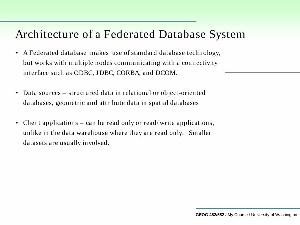
Architecture of a Federated Database System • A Federated database makes use of standard database technology,
but works with multiple nodes communicating with a connectivity interface such as ODBC, JDBC, CORBA, and DCOM.
• Data sources – structured data in relational or object-oriented databases, geometric and attribute data in spatial databases
• Client applications – can be read only or read/write applications, unlike in the data warehouse where they are read only. Smaller datasets are usually involved.
GEOG 482/582 / My Course / University of Washington
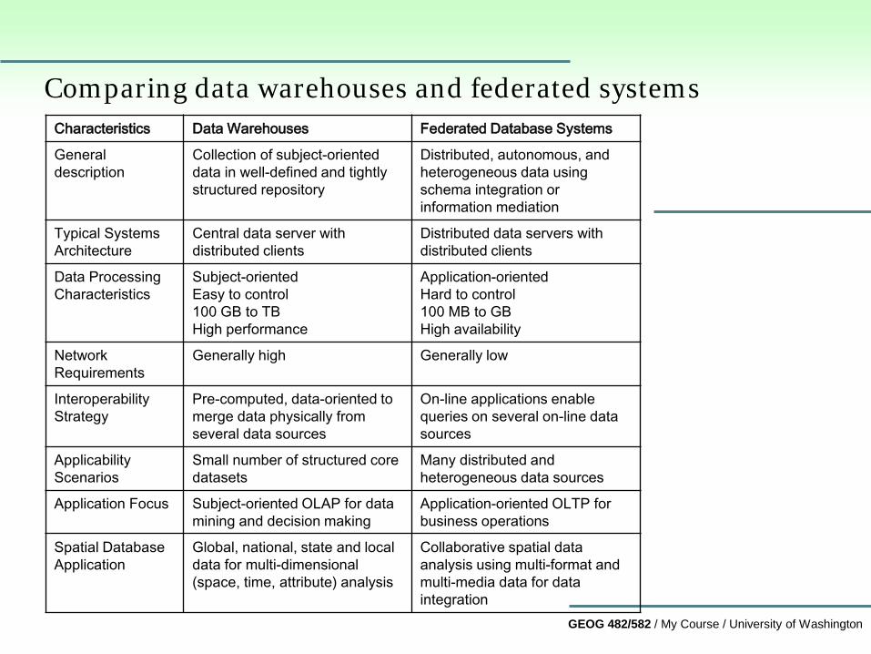
Comparing data warehouses and federated systems Characteristics Data Warehouses Federated Database Systems
General description
Collection of subject-oriented data in well-defined and tightly structured repository
Distributed, autonomous, and heterogeneous data using schema integration or information mediation
Typical Systems Architecture
Central data server with distributed clients
Distributed data servers with distributed clients
Data Processing Characteristics
Subject-oriented Easy to control 100 GB to TB High performance
Application-oriented Hard to control 100 MB to GB High availability
Network Requirements
Generally high Generally low
Interoperability Strategy
Pre-computed, data-oriented to merge data physically from several data sources
On-line applications enable queries on several on-line data sources
Applicability Scenarios
Small number of structured core datasets
Many distributed and heterogeneous data sources
Application Focus Subject-oriented OLAP for data mining and decision making
Application-oriented OLTP for business operations
Spatial Database Application
Global, national, state and local data for multi-dimensional (space, time, attribute) analysis
Collaborative spatial data analysis using multi-format and multi-media data for data integration
GEOG 482/582 / My Course / University of Washington
Summary
In this lesson, you learned about… 1. Challenges for the multi-user database environments 2. The nature of Enterprise GIS 3. Major goals to multi-user data sharing 4. Approaches to geospatial data sharing 5. Three approaches to Enterprise GIS Data Management 6. Data warehousing 7. Federated database system
GEOG 482/582 / My Course / University of Washington
Contact me at [email protected] if you have questions or comments about this lesson.
GEOG 482/582: GIS Data Management
END Lesson 10: Enterprise GIS Data Management Strategies