Embed Size (px)
Citation preview
Long and narrow, Jefferson County stretches
north-south 70 miles along the Front Range,
therefore most travel routes from Denver to the
mountains pass through the county. From 1859
on, prospectors and settlers flooded through on
their way west to the goldfields.
The first roads began as wagon tracks following
trails used by Native Americans. Dozens of roads
were built through the county’s canyons to access
the mining regions to the west. Wagons hauled
food, supplies, mining equipment, and other
freight into the mountains.
Stagecoaches transported passengers, until
railroads provided more efficient travel. Wagon
roads served stone quarrying, logging, and
agriculture in Jefferson County.
Railroads blasted through the granite canyons,
taking people and goods into the mining districts.
By the early 1900s, automobiles were venturing
into the mountains, and wagon roads were im-
proved for auto travel. Today, two major and
several minor highways pass through Jefferson
County linking the Front Range to the central
Colorado mountains.
Historic Transportation Streetcars and funiculars
Two electric interurban railroads operated in
Jefferson County. The Denver & Intermountain
streetcar ran down present-day West Thirteenth
Avenue to link Denver, Lakewood, and Golden.
The Denver & Northwestern line ran south of
Arvada to Leyden, carrying passengers and
freighting Leyden coal into Denver.
From around 1910 into the 1920s, three small
“funicular” railways climbed South Table
Mountain, Lookout Mountain, and Mount
Morrison, ferrying tourists and sightseers to the
summits. The funiculars declined in popularity as
people began driving into the mountains in
automobiles.
Auto roads
A new transportation mode emerged in the twenti-
eth century. The first automobile reached Colorado
in 1899. By the 1920s, affordability of automobiles
encouraged their use as personal transportation and
promoted auto touring as a leisure pastime.
Cars in Bear Creek Canyon, circa 1930 photograph provided by Denver Public Library
The Denver Chamber of Commerce and Board of
Realtors initiated development of a network of parks
and scenic roads in west Jefferson County. Easier
access to the mountains launched a boom in summer
homes in the 1920s. The Jefferson County
mountains remained a favorite summer destination
through the 1950s.
After World War II, highway construction
encouraged year-round living in west Jefferson
County. Developers began subdividing and building
year-round residences. Remote settlements became
bedroom communities with residents commuting to
work in the Denver urban complex.
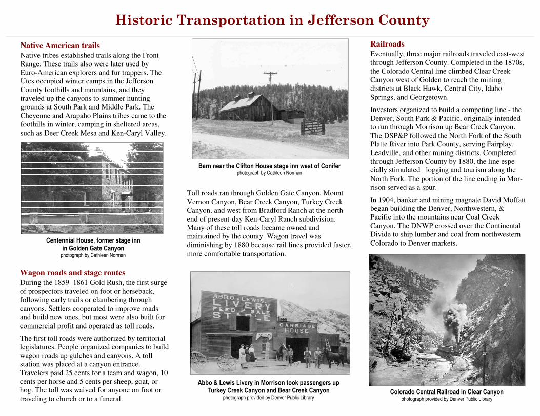
Rocky Mountain News, 1870s
Historic
Transportation
in Jefferson County
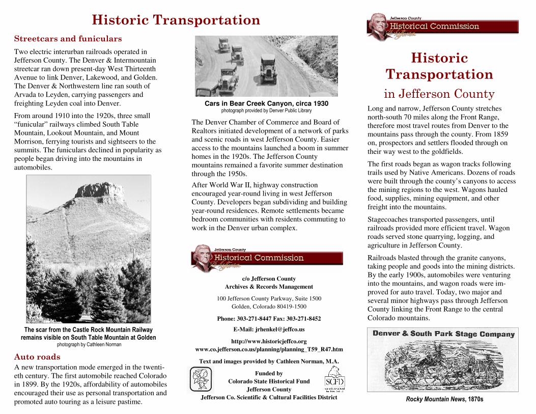
The scar from the Castle Rock Mountain Railway remains visible on South Table Mountain at Golden
photograph by Cathleen Norman
c/o Jefferson County
Archives & Records Management
100 Jefferson County Parkway, Suite 1500
Golden, Colorado 80419-1500
Phone: 303-271-8447 Fax: 303-271-8452
E-Mail: [email protected]
http://www.historicjeffco.org
www.co.jefferson.co.us/planning/planning_T59_R47.htm
Text and images provided by Cathleen Norman, M.A.
Funded by
Colorado State Historical Fund
Jefferson County
Jefferson Co. Scientific & Cultural Facilities District
Historic Transportation in Jefferson County
Abbo & Lewis Livery in Morrison took passengers up Turkey Creek Canyon and Bear Creek Canyon
photograph provided by Denver Public Library
Toll roads ran through Golden Gate Canyon, Mount
Vernon Canyon, Bear Creek Canyon, Turkey Creek
Canyon, and west from Bradford Ranch at the north
end of present-day Ken-Caryl Ranch subdivision.
Many of these toll roads became owned and
maintained by the county. Wagon travel was
diminishing by 1880 because rail lines provided faster,
more comfortable transportation.
Native American trails
Native tribes established trails along the Front
Range. These trails also were later used by
Euro-American explorers and fur trappers. The
Utes occupied winter camps in the Jefferson
County foothills and mountains, and they
traveled up the canyons to summer hunting
grounds at South Park and Middle Park. The
Cheyenne and Arapaho Plains tribes came to the
foothills in winter, camping in sheltered areas,
such as Deer Creek Mesa and Ken-Caryl Valley.
Railroads
Eventually, three major railroads traveled east-west
through Jefferson County. Completed in the 1870s,
the Colorado Central line climbed Clear Creek
Canyon west of Golden to reach the mining
districts at Black Hawk, Central City, Idaho
Springs, and Georgetown.
Investors organized to build a competing line - the
Denver, South Park & Pacific, originally intended
to run through Morrison up Bear Creek Canyon.
The DSP&P followed the North Fork of the South
Platte River into Park County, serving Fairplay,
Leadville, and other mining districts. Completed
through Jefferson County by 1880, the line espe-
cially stimulated logging and tourism along the
North Fork. The portion of the line ending in Mor-
rison served as a spur.
In 1904, banker and mining magnate David Moffatt
began building the Denver, Northwestern, &
Pacific into the mountains near Coal Creek
Canyon. The DNWP crossed over the Continental
Divide to ship lumber and coal from northwestern
Colorado to Denver markets.
Colorado Central Railroad in Clear Canyon photograph provided by Denver Public Library
Barn near the Clifton House stage inn west of Conifer photograph by Cathleen Norman
Wagon roads and stage routes
During the 1859–1861 Gold Rush, the first surge
of prospectors traveled on foot or horseback,
following early trails or clambering through
canyons. Settlers cooperated to improve roads
and build new ones, but most were also built for
commercial profit and operated as toll roads.
The first toll roads were authorized by territorial
legislatures. People organized companies to build
wagon roads up gulches and canyons. A toll
station was placed at a canyon entrance.
Travelers paid 25 cents for a team and wagon, 10
cents per horse and 5 cents per sheep, goat, or
hog. The toll was waived for anyone on foot or
traveling to church or to a funeral.
Centennial House, former stage inn in Golden Gate Canyon
photograph by Cathleen Norman