Embed Size (px)
Citation preview
Integrating GIS & Plone
Using ZCO and PrimaGIS
www.livniconsulting.com
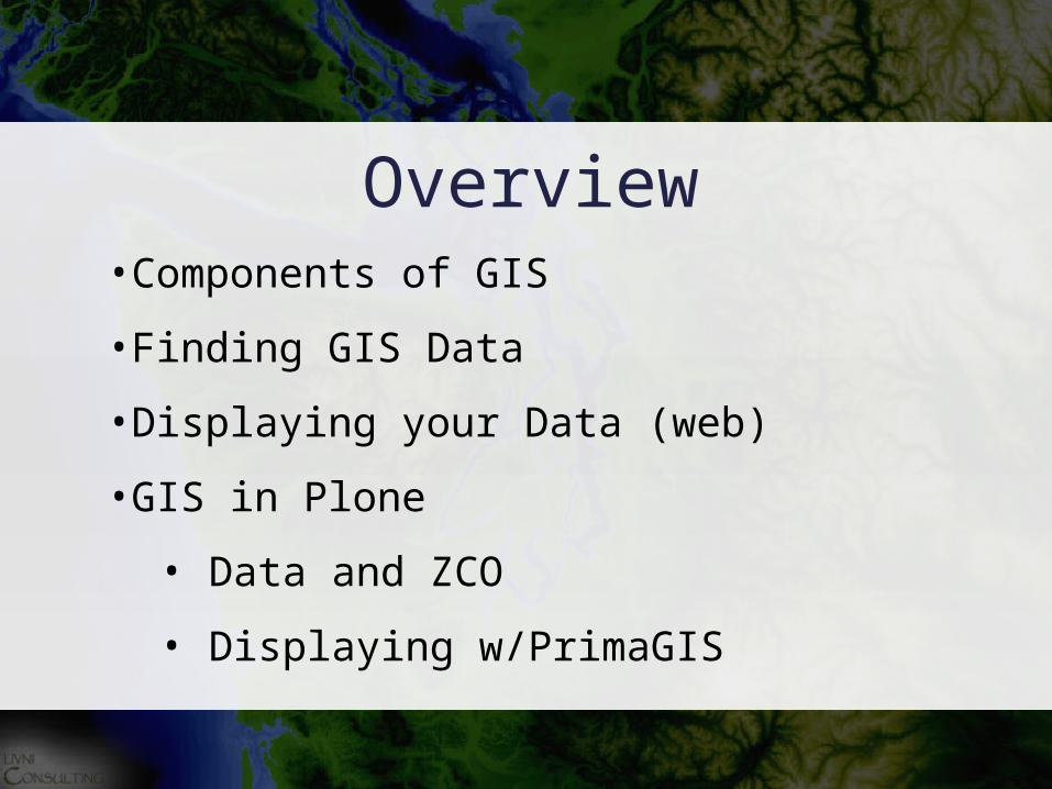
Overview•Components of GIS
•Finding GIS Data
•Displaying your Data (web)
•GIS in Plone
• Data and ZCO
• Displaying w/PrimaGIS

GIS in three parts
•Data Collection
•Analysis
•Display
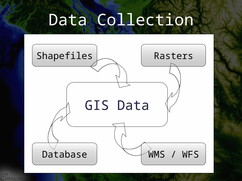
Data Collection
GIS Data
WMS / WFSDatabase
RastersShapefiles
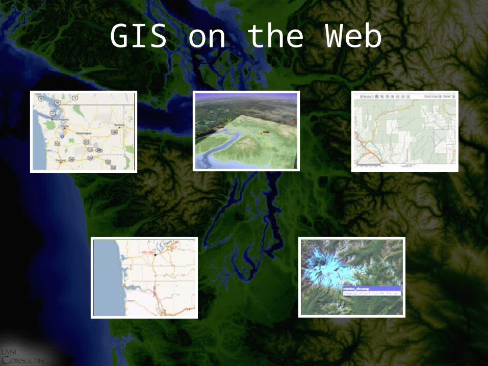
GIS on the Web
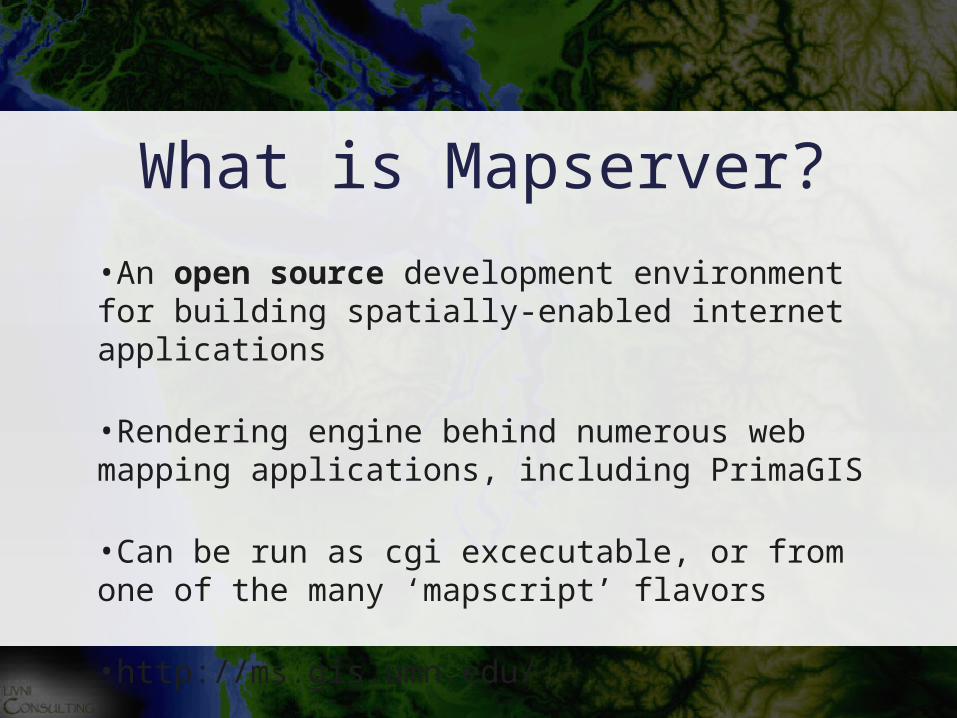
What is Mapserver?
•An open source development environment for building spatially-enabled internet applications
•Rendering engine behind numerous web mapping applications, including PrimaGIS
•Can be run as cgi excecutable, or from one of the many ‘mapscript’ flavors
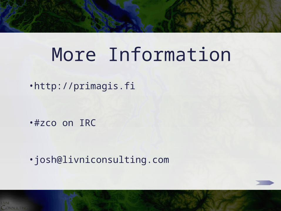
•http://ms.gis.umn.edu/
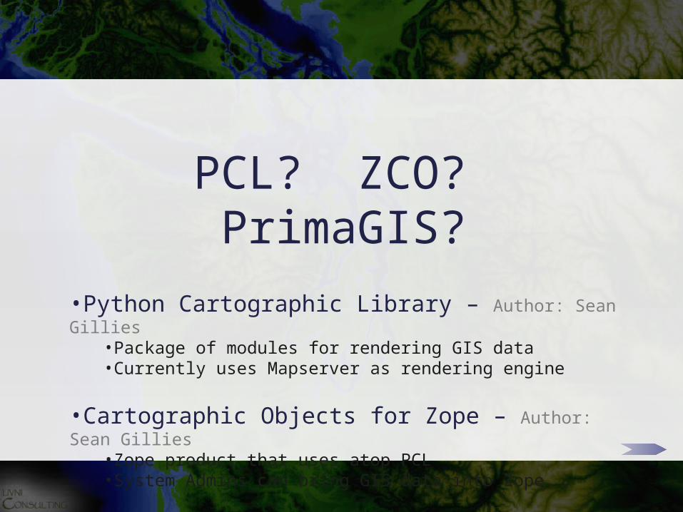
PCL? ZCO? PrimaGIS?
•Python Cartographic Library – Author: Sean Gillies•Package of modules for rendering GIS data •Currently uses Mapserver as rendering engine
•Cartographic Objects for Zope – Author: Sean Gillies•Zope product that uses atop PCL •System Admins can bring GIS data into Zope
•PrimaGIS – Author: Kai Hänninen•A collaborative web mapping application for Plone•Site Admins can create maps w/ZCO components, and spatial
extensions for available Archetypes