Embed Size (px)
Citation preview
Intro to PostGIS
Daniel Caldwell
What is PostGIS• Extension to PostgreSQL• Provides Spatial Types• Provides Spatial Functions
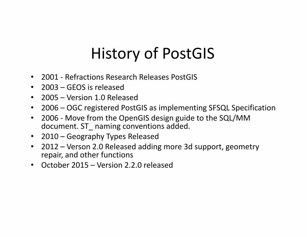
History of PostGIS• 2001 ‐ Refractions Research Releases PostGIS• 2003 – GEOS is released• 2005 – Version 1.0 Released• 2006 – OGC registered PostGIS as implementing SFSQL Specification• 2006 ‐ Move from the OpenGIS design guide to the SQL/MM
document. ST_ naming conventions added. • 2010 – Geography Types Released• 2012 – Verson 2.0 Released adding more 3d support, geometry
repair, and other functions• October 2015 – Version 2.2.0 released
Things you need to know• Coordinate Systems• Geometries• Spatial Functions
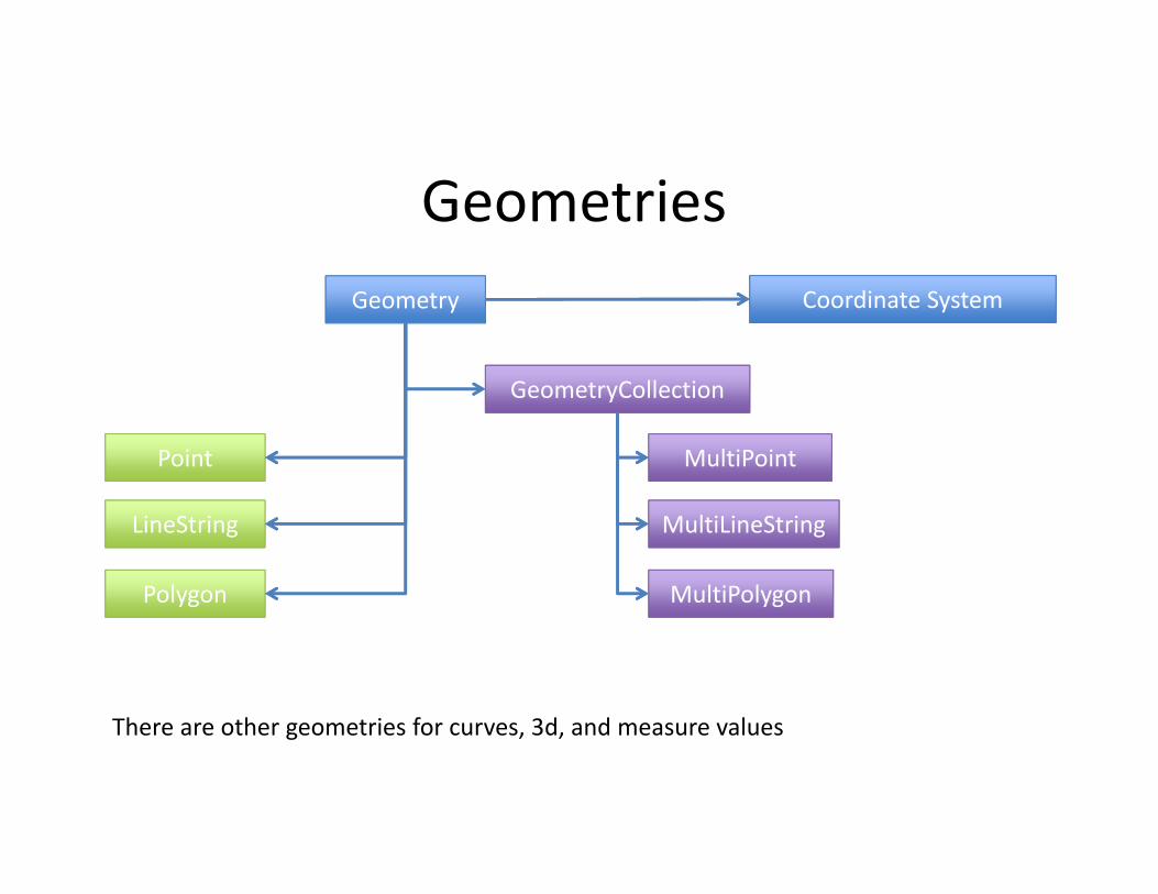
GeometriesCoordinate SystemGeometry
Point
LineString
Polygon
MultiPoint
MultiLineString
MultiPolygon
GeometryCollection
There are other geometries for curves, 3d, and measure values
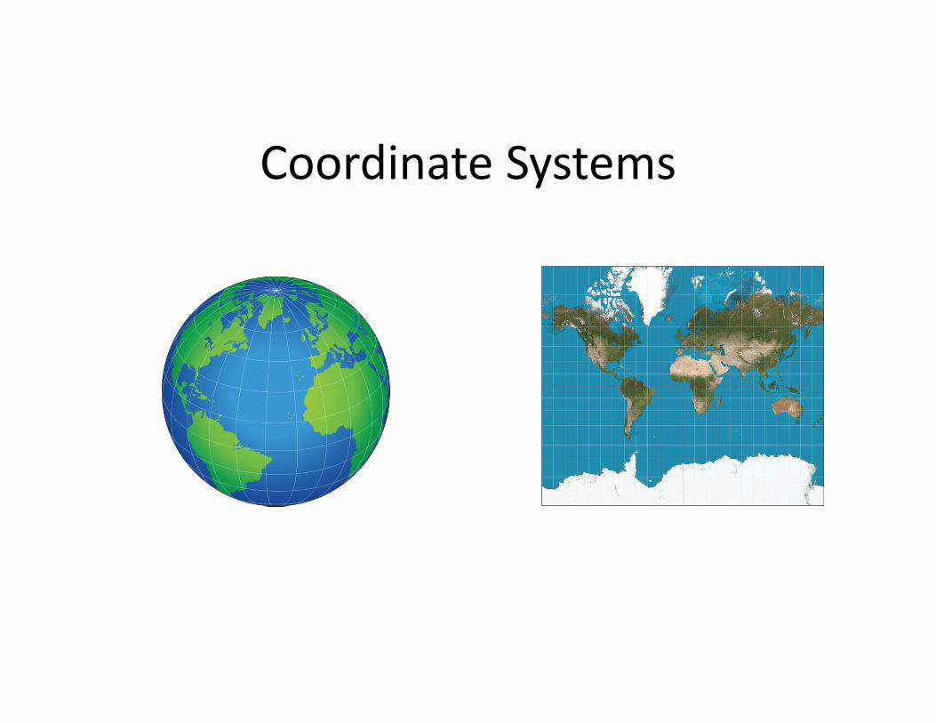
Coordinate Systems
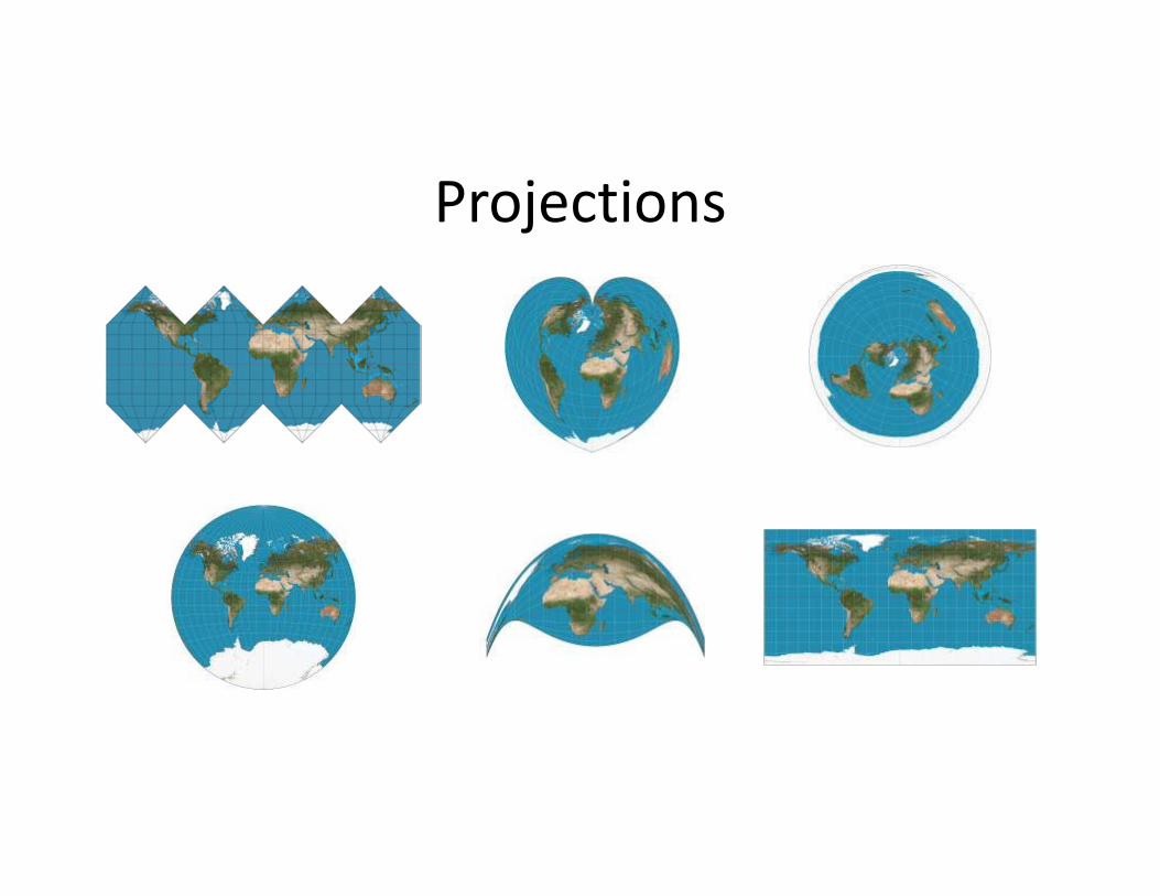
Projections
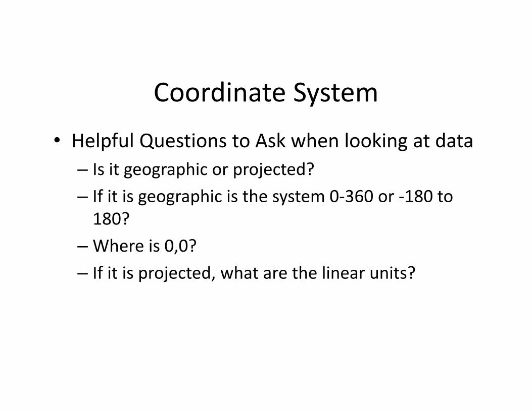
Coordinate System• Helpful Questions to Ask when looking at data
– Is it geographic or projected?– If it is geographic is the system 0‐360 or ‐180 to 180?
– Where is 0,0? – If it is projected, what are the linear units?
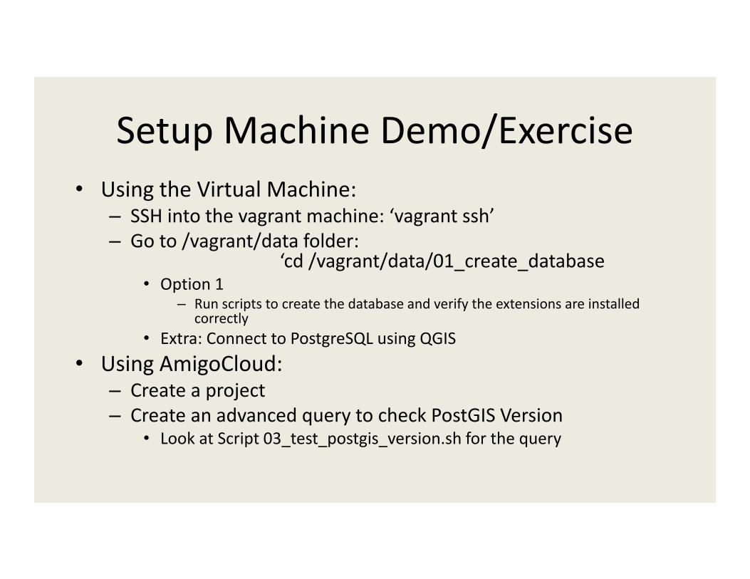
Setup Machine Demo/Exercise• Using the Virtual Machine:
– SSH into the vagrant machine: ‘vagrant ssh’– Go to /vagrant/data folder:
‘cd /vagrant/data/01_create_database• Option 1
– Run scripts to create the database and verify the extensions are installed correctly
• Extra: Connect to PostgreSQL using QGIS• Using AmigoCloud:
– Create a project– Create an advanced query to check PostGIS Version
• Look at Script 03_test_postgis_version.sh for the query
Importing Spatial Data• shp2pgsql• GDAL (ogr2ogr)• QGIS
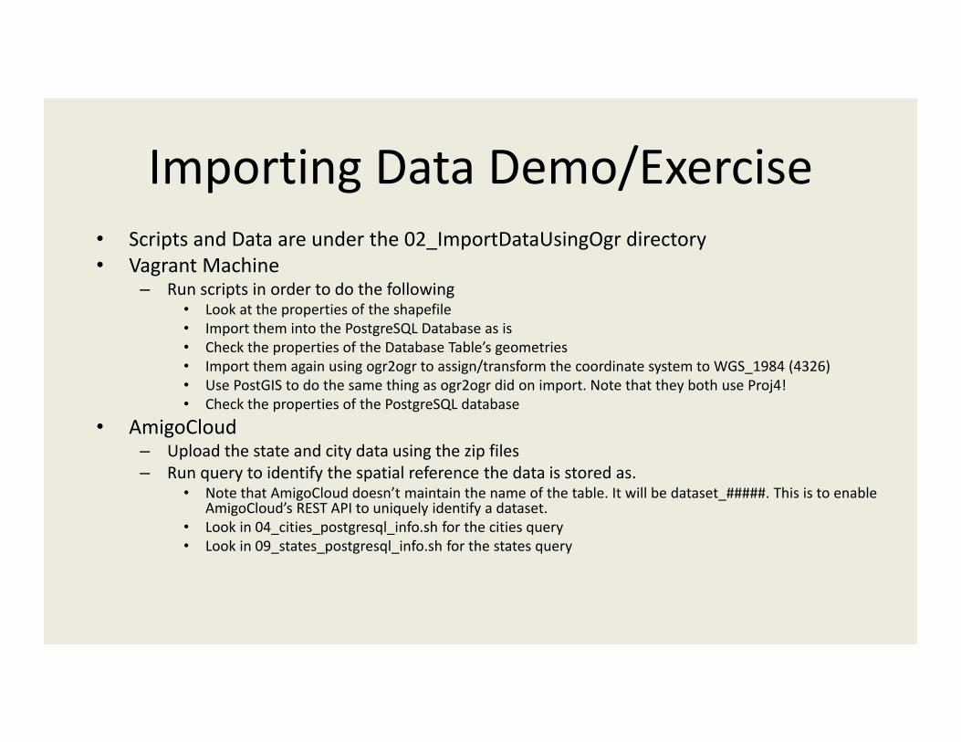
Importing Data Demo/Exercise• Scripts and Data are under the 02_ImportDataUsingOgr directory• Vagrant Machine
– Run scripts in order to do the following• Look at the properties of the shapefile• Import them into the PostgreSQL Database as is• Check the properties of the Database Table’s geometries• Import them again using ogr2ogr to assign/transform the coordinate system to WGS_1984 (4326)• Use PostGIS to do the same thing as ogr2ogr did on import. Note that they both use Proj4!• Check the properties of the PostgreSQL database
• AmigoCloud– Upload the state and city data using the zip files– Run query to identify the spatial reference the data is stored as.
• Note that AmigoCloud doesn’t maintain the name of the table. It will be dataset_#####. This is to enable AmigoCloud’s REST API to uniquely identify a dataset.
• Look in 04_cities_postgresql_info.sh for the cities query• Look in 09_states_postgresql_info.sh for the states query
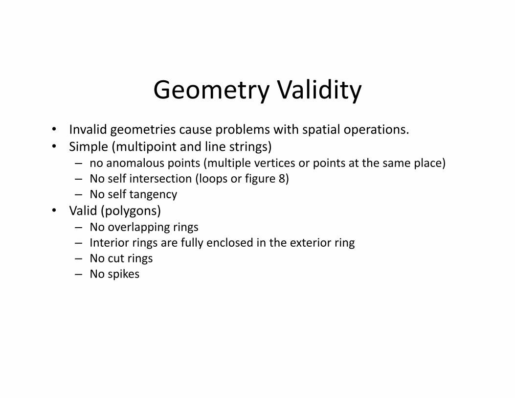
Geometry Validity• Invalid geometries cause problems with spatial operations.• Simple (multipoint and line strings)
– no anomalous points (multiple vertices or points at the same place)– No self intersection (loops or figure 8)– No self tangency
• Valid (polygons)– No overlapping rings– Interior rings are fully enclosed in the exterior ring– No cut rings– No spikes
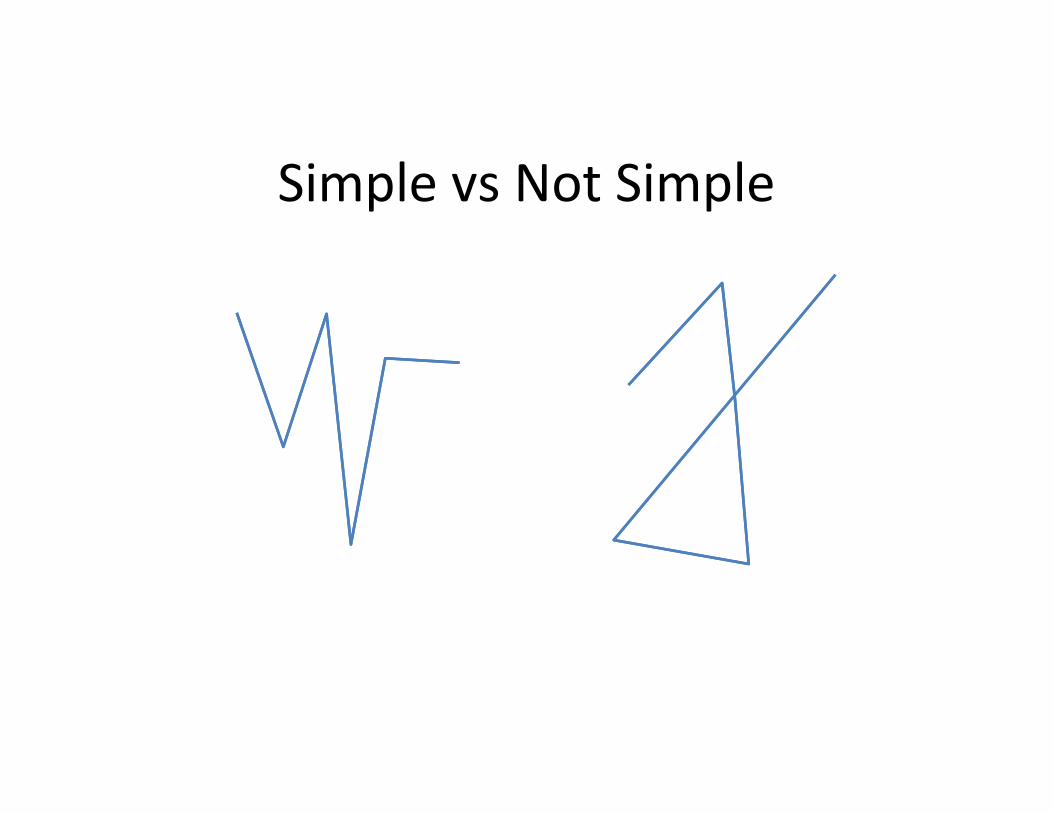
Simple vs Not Simple
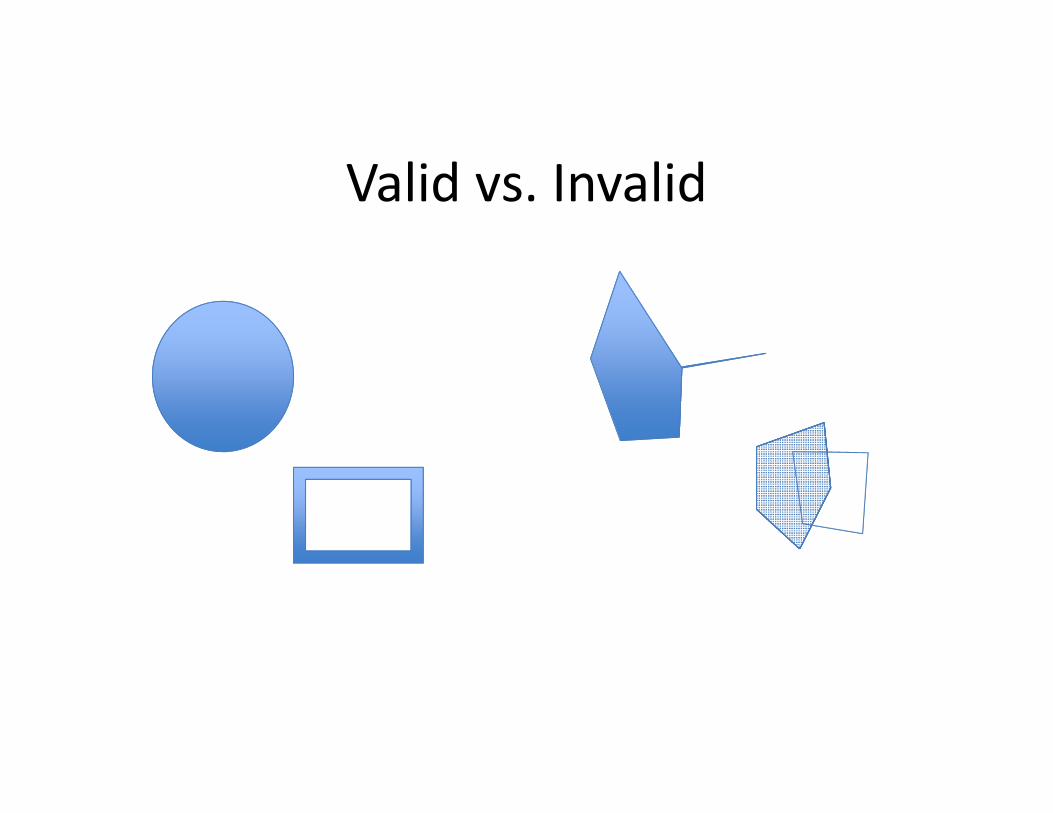
Valid vs. Invalid
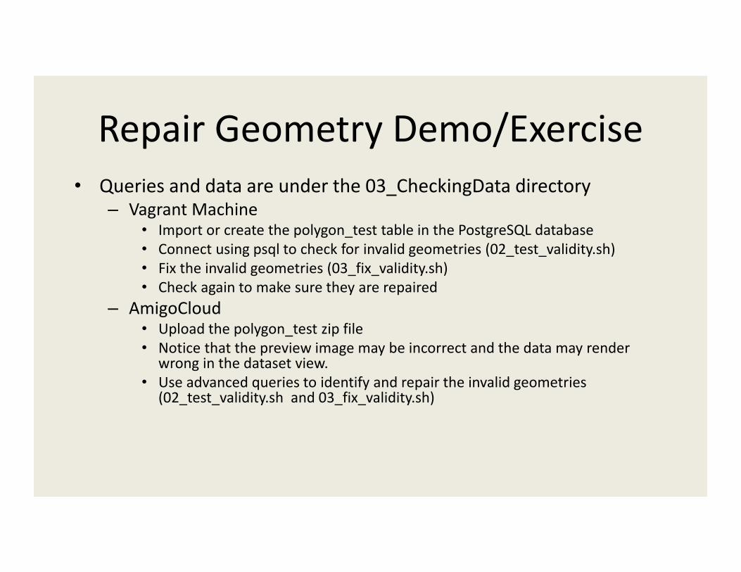
Repair Geometry Demo/Exercise• Queries and data are under the 03_CheckingData directory
– Vagrant Machine• Import or create the polygon_test table in the PostgreSQL database• Connect using psql to check for invalid geometries (02_test_validity.sh)• Fix the invalid geometries (03_fix_validity.sh)• Check again to make sure they are repaired
– AmigoCloud• Upload the polygon_test zip file• Notice that the preview image may be incorrect and the data may render
wrong in the dataset view. • Use advanced queries to identify and repair the invalid geometries
(02_test_validity.sh and 03_fix_validity.sh)
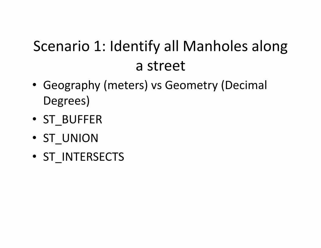
Scenario 1: Identify all Manholes along a street
• Geography (meters) vs Geometry (Decimal Degrees)
• ST_BUFFER• ST_UNION• ST_INTERSECTS
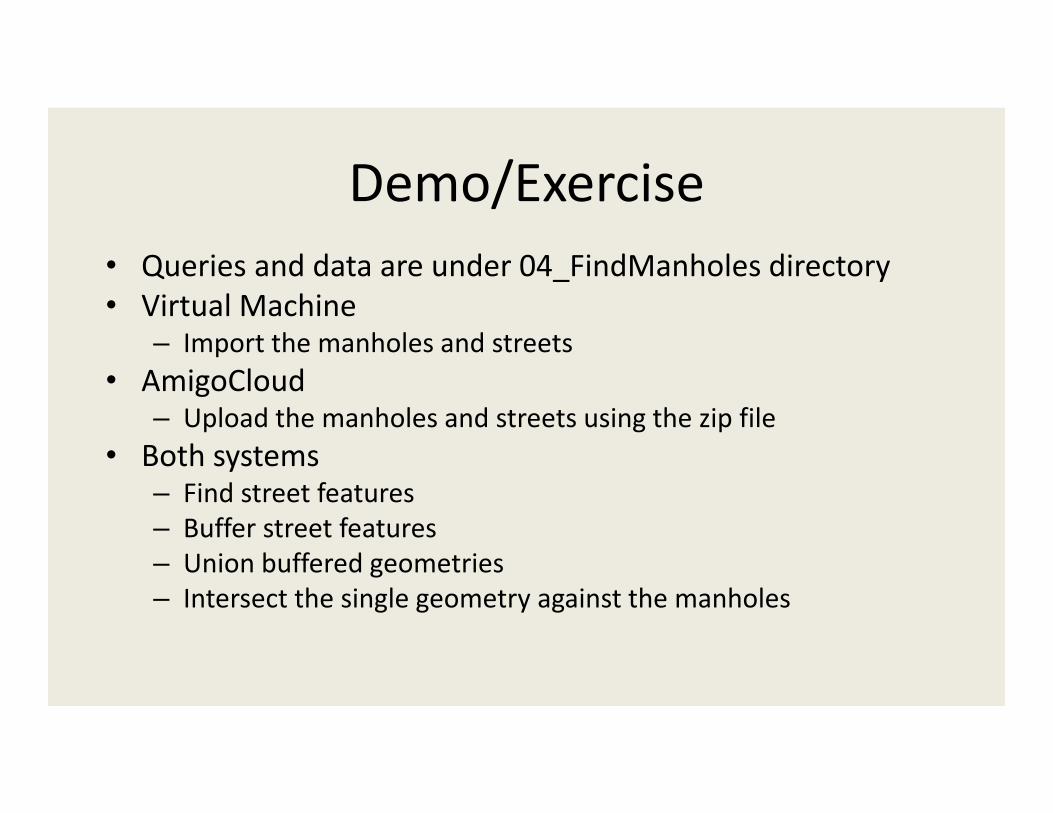
Demo/Exercise• Queries and data are under 04_FindManholes directory• Virtual Machine
– Import the manholes and streets• AmigoCloud
– Upload the manholes and streets using the zip file• Both systems
– Find street features– Buffer street features– Union buffered geometries– Intersect the single geometry against the manholes
Scenario 2: Identify the closest fire hydrants
• ST_DISTANCE• Use Geography to see distance in meters
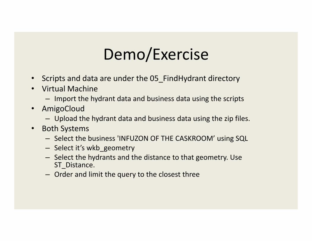
Demo/Exercise• Scripts and data are under the 05_FindHydrant directory• Virtual Machine
– Import the hydrant data and business data using the scripts• AmigoCloud
– Upload the hydrant data and business data using the zip files. • Both Systems
– Select the business 'INFUZON OF THE CASKROOM’ using SQL– Select it’s wkb_geometry– Select the hydrants and the distance to that geometry. Use
ST_Distance.– Order and limit the query to the closest three
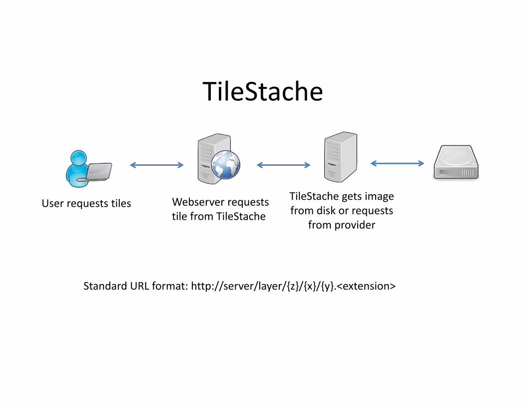
TileStache
User requests tiles Webserver requests tile from TileStache
TileStache gets image from disk or requests
from provider
Standard URL format: http://server/layer/{z}/{x}/{y}.<extension>
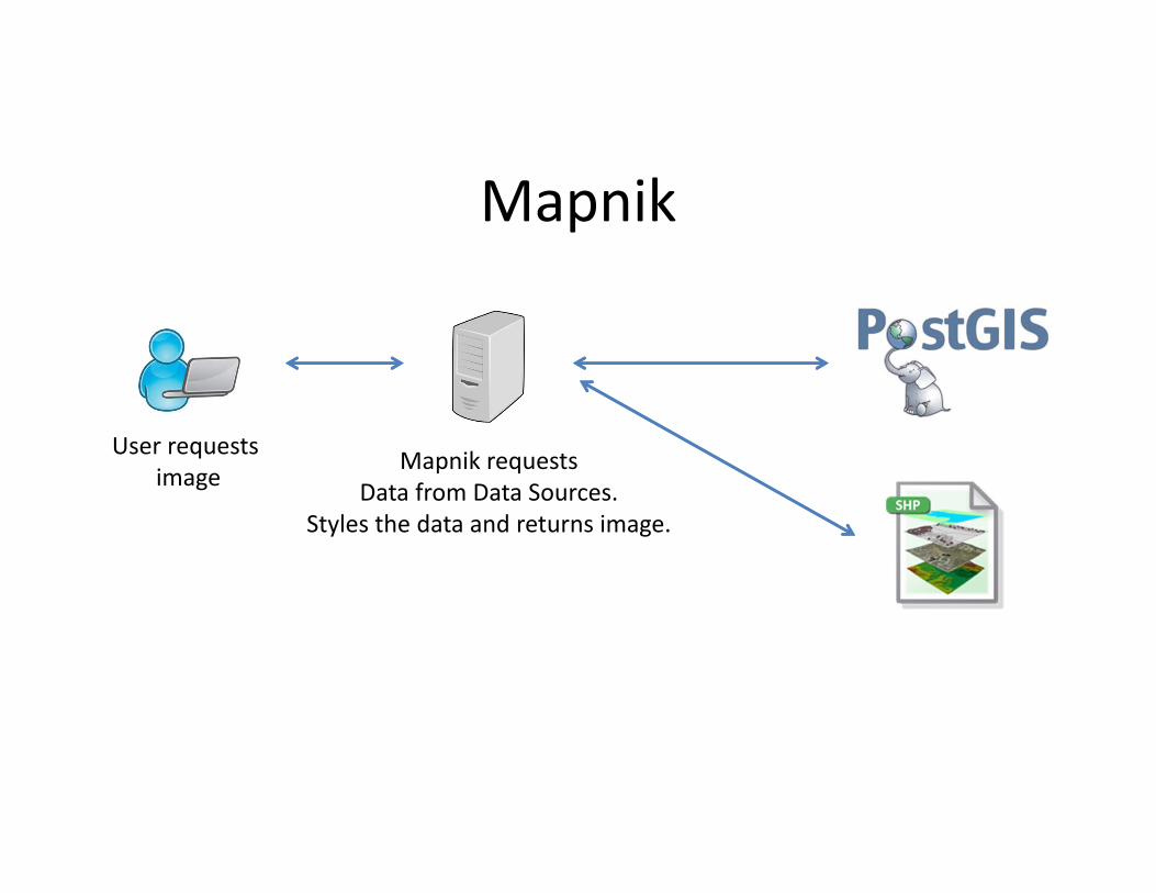
Mapnik
User requests image
Mapnik requestsData from Data Sources.
Styles the data and returns image.
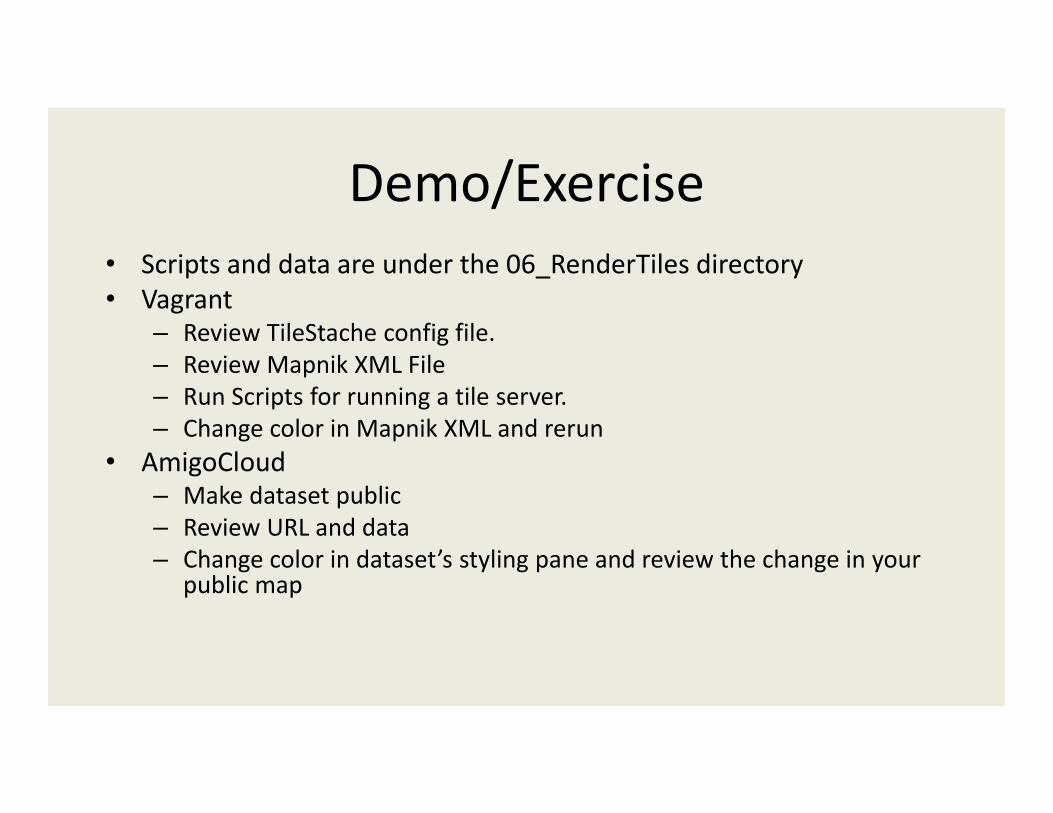
Demo/Exercise• Scripts and data are under the 06_RenderTiles directory• Vagrant
– Review TileStache config file.– Review Mapnik XML File– Run Scripts for running a tile server.– Change color in Mapnik XML and rerun
• AmigoCloud– Make dataset public – Review URL and data– Change color in dataset’s styling pane and review the change in your
public map
Further Resources• PostgreSQL (http://www.postgresql.org/)• PostGIS Extension (http://postgis.net/)• GDAL (http://www.gdal.org)• TileStache (http://tilestache.org/) • Mapnik (http://mapnik.org/)• AmigoCloud (http://www.amigocloud.com/)• Projections courtesy of Mike Bostock
(http://bl.ocks.org/mbostock/3711652)• All data and samples for this tutorial are on GitHub
(https://github.com/DanielCaldwell/pgconfsv2015)