Embed Size (px)
Citation preview
Latin America’s Physical Geography
EQ: What are characteristics of Latin America’s physical features?
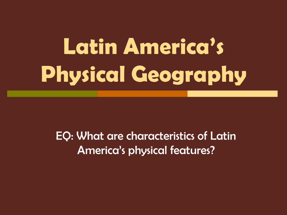
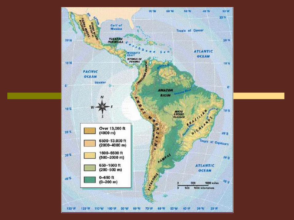
Latin America is divided into 3 Regions:
Mexico and Central America
The Caribbean
South America
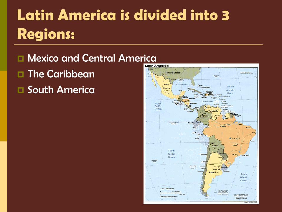
Central America
The Caribbean
South America
I. Mexico and Central America 2,500 miles (about as wide as the US)
Mountains dominate the region Part of a huge system that extends from Canada, through the US,
and all the way to the tip of South America
Central plateau in Mexico Lies between Sierra Madre mountains and makes up more than half
the country’s area
Central America is an Isthmus Isthmus = a narrow strip of land that has water on both sides and
joins 2 larger bodies of water
Many volcanoes in Central America, as a result, their soil is arable (fertile) and many people farm lands
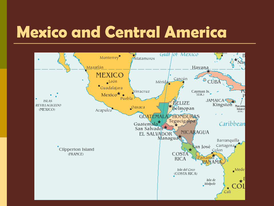
Mexico and Central America
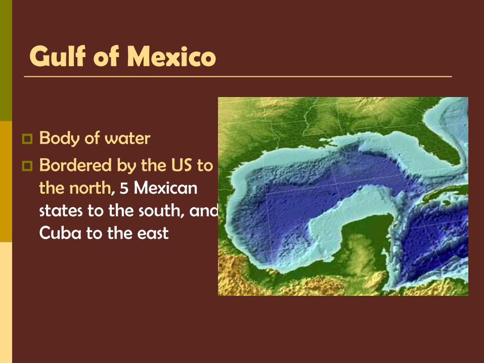
Gulf of Mexico
Body of water
Bordered by the US to the north, 5 Mexican states to the south, and Cuba to the east
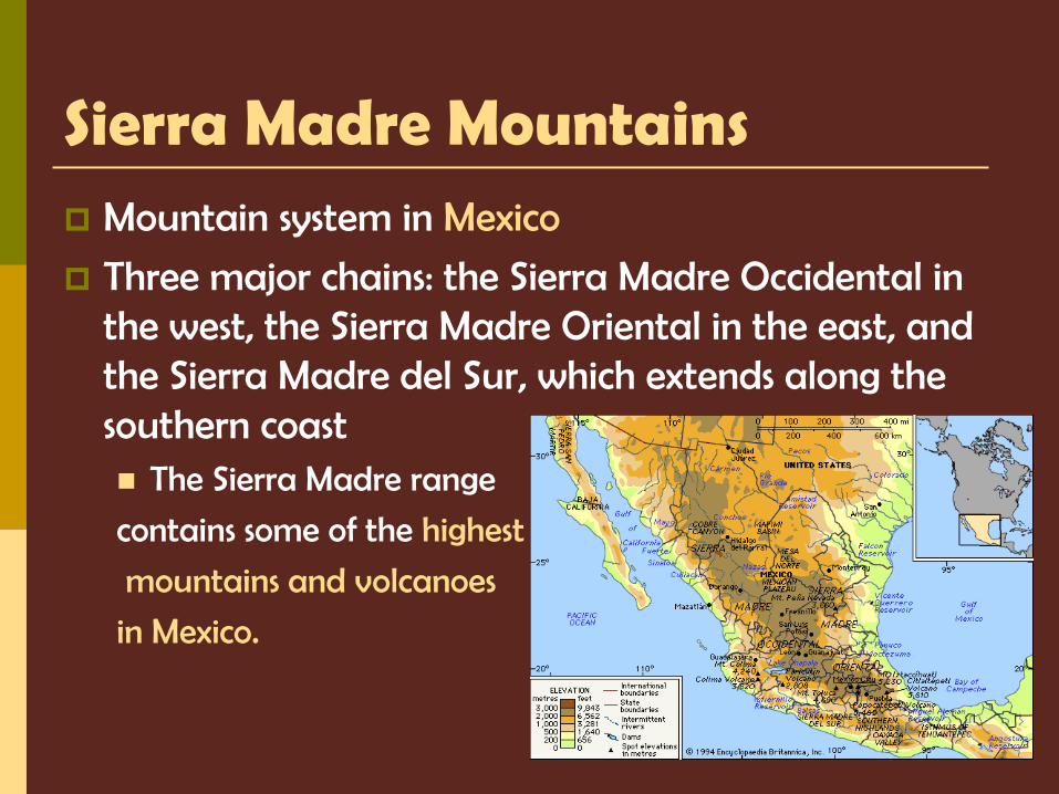
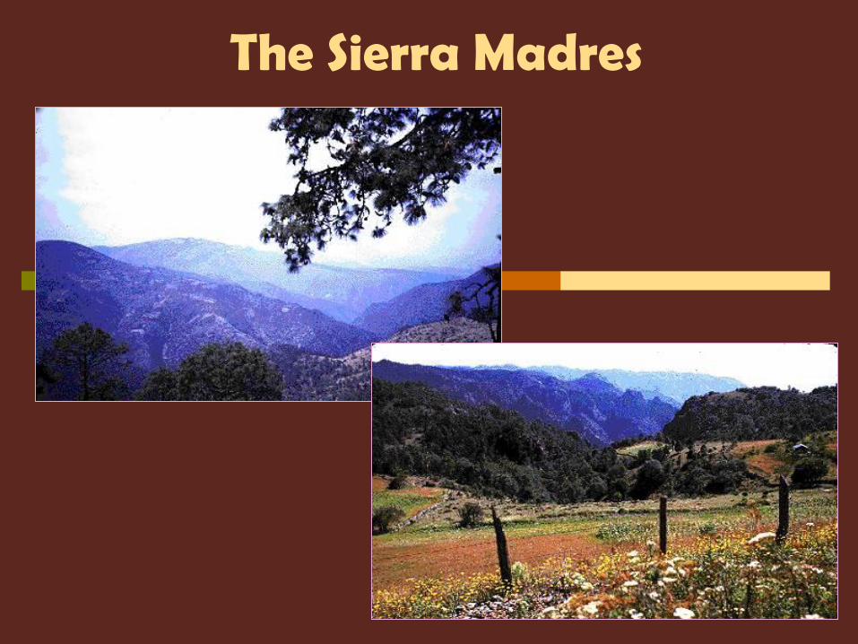
Sierra Madre Mountains Mountain system in Mexico
Three major chains: the Sierra Madre Occidental in the west, the Sierra Madre Oriental in the east, and the Sierra Madre del Sur, which extends along the southern coast The Sierra Madre range
contains some of the highest
mountains and volcanoes
in Mexico.

Sierra Madre Mountains
The Sierra Madres
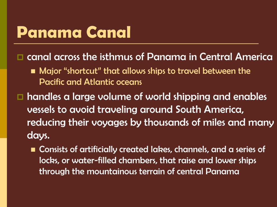
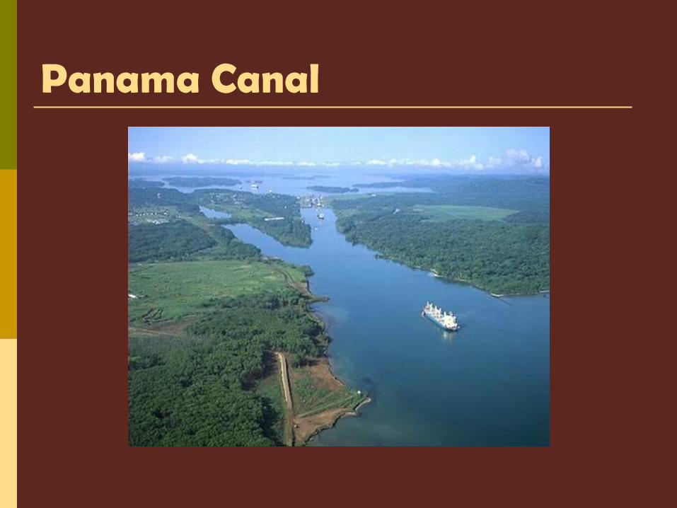
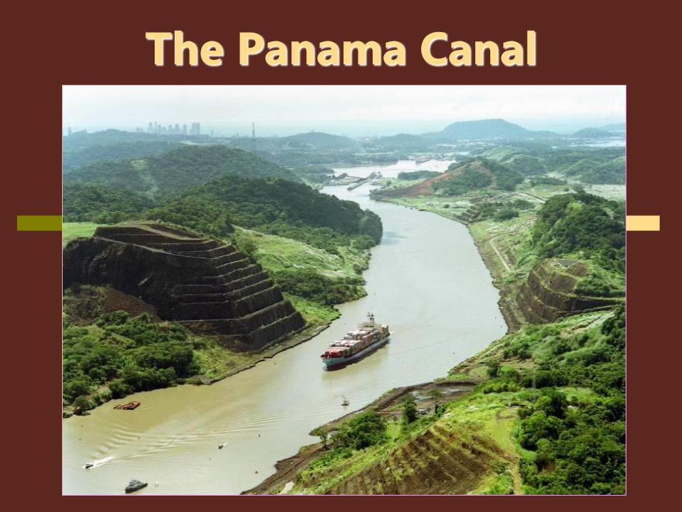
Panama Canal canal across the isthmus of Panama in Central America
Major “shortcut” that allows ships to travel between the Pacific and Atlantic oceans
handles a large volume of world shipping and enables vessels to avoid traveling around South America, reducing their voyages by thousands of miles and many days. Consists of artificially created lakes, channels, and a series of
locks, or water-filled chambers, that raise and lower ships through the mountainous terrain of central Panama
Panama Canal
The Panama Canal
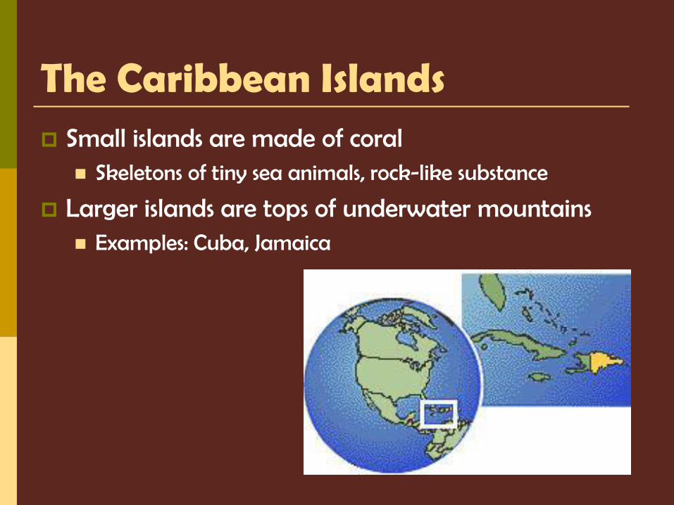
The Caribbean Islands Small islands are made of coral
Skeletons of tiny sea animals, rock-like substance
Larger islands are tops of underwater mountains Examples: Cuba, Jamaica
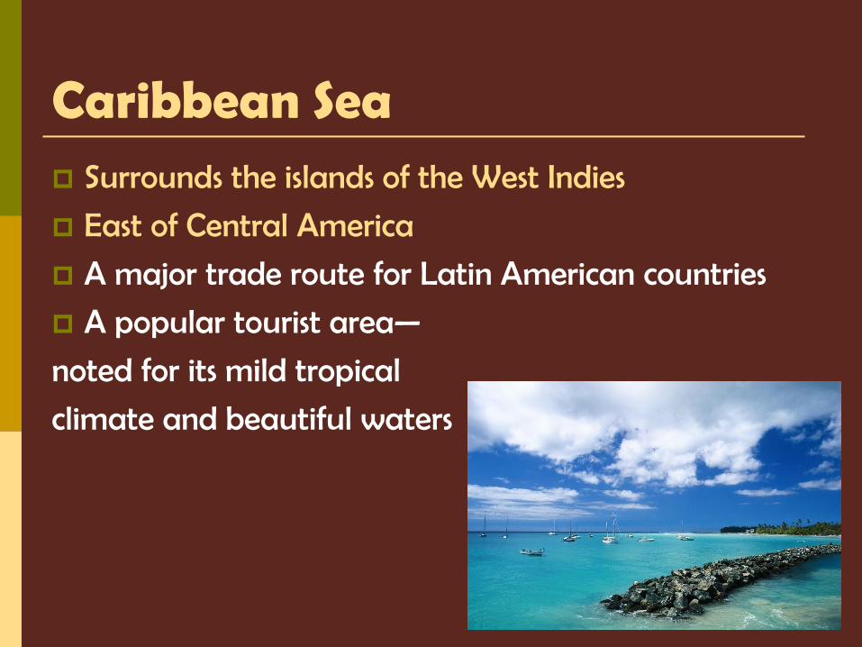
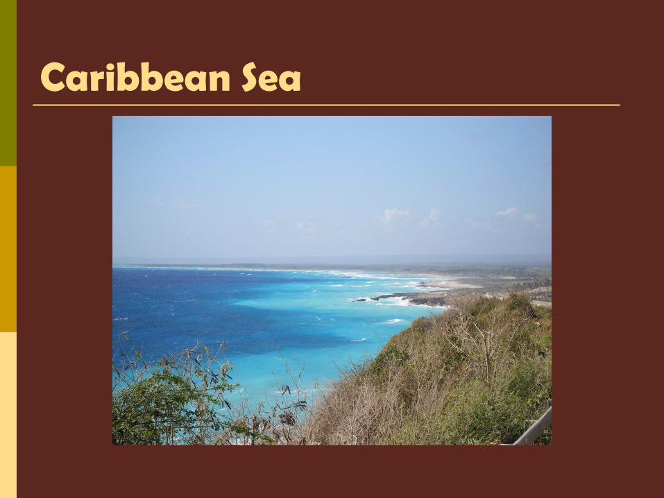
Caribbean Sea Surrounds the islands of the West Indies
East of Central America
A major trade route for Latin American countries
A popular tourist area—
noted for its mild tropical
climate and beautiful waters
Caribbean Sea
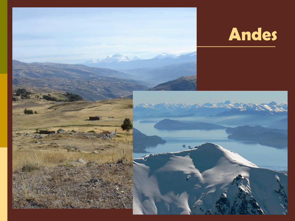
South America Andes Mountains—4,500 miles along west coast of
South America They rise at some points to 20,000 feet—same height as
twenty 100 story buildings stacked on top of each other 2nd largest mountains; Himalayas are the 1st
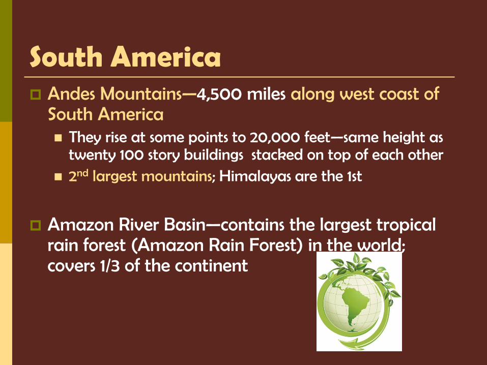
Amazon River Basin—contains the largest tropical rain forest (Amazon Rain Forest) in the world; covers 1/3 of the continent
Andes
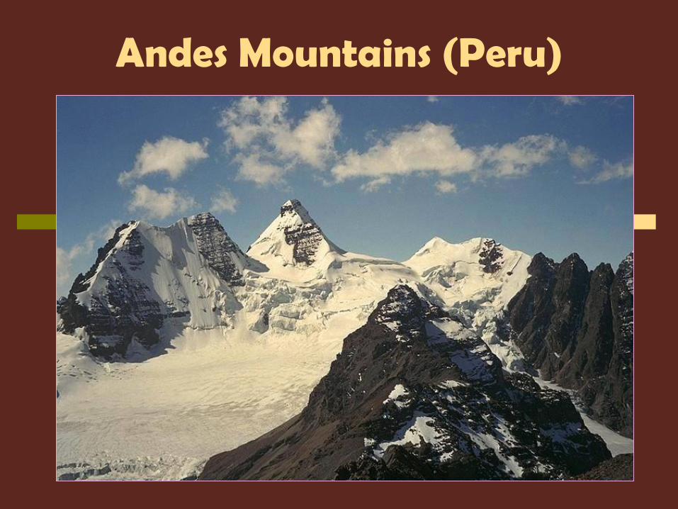
Andes Mountains (Peru)
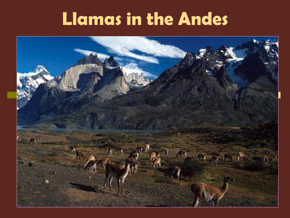
Llamas in the Andes
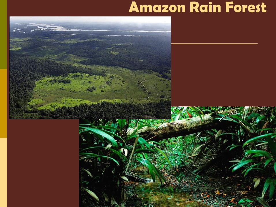
Amazon Rain Forest
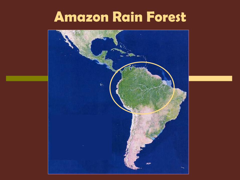
Amazon Rain Forest
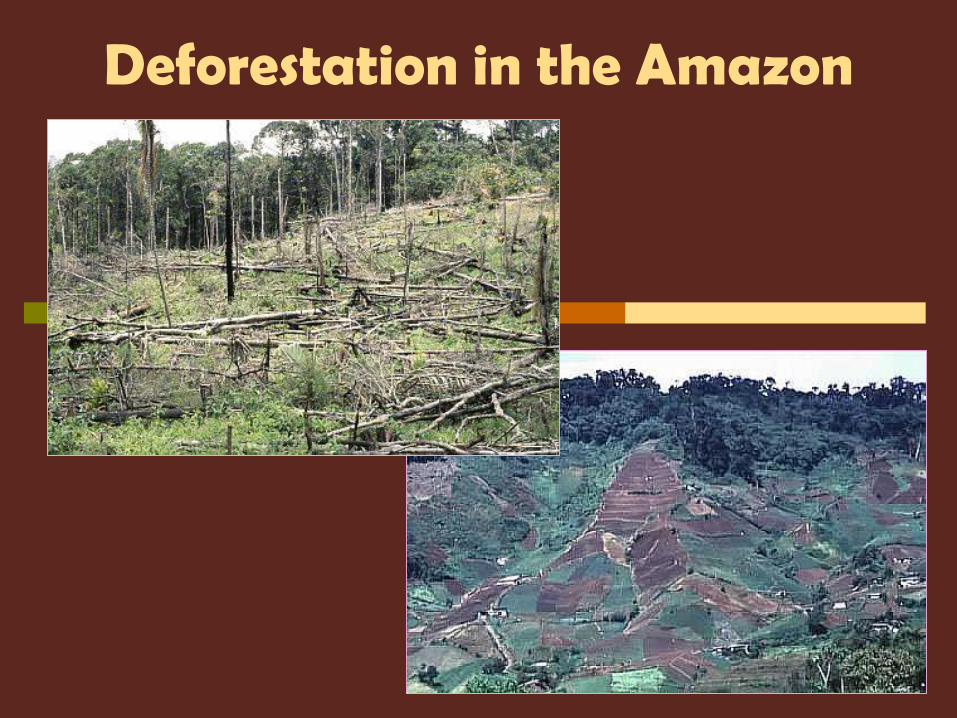
Deforestation in the Amazon
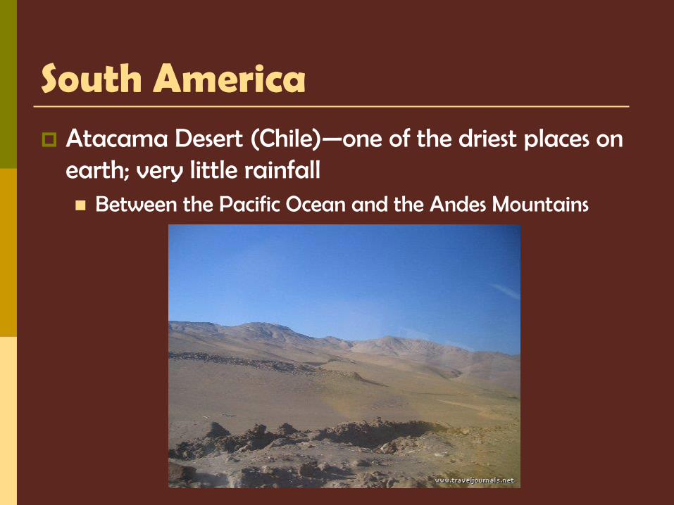
South America Atacama Desert (Chile)—one of the driest places on
earth; very little rainfall Between the Pacific Ocean and the Andes Mountains
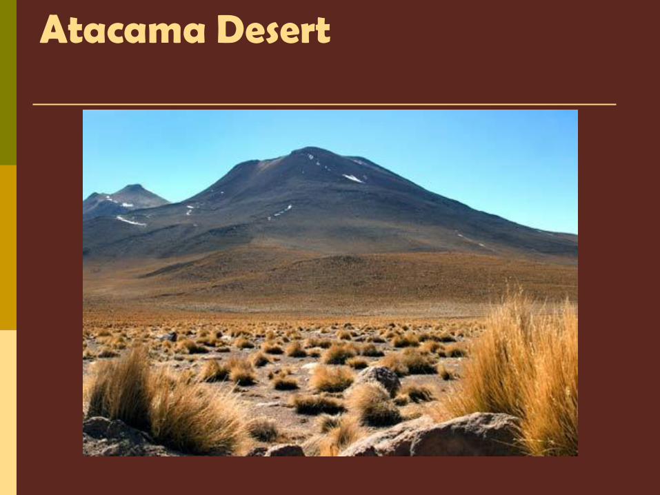
Atacama Desert
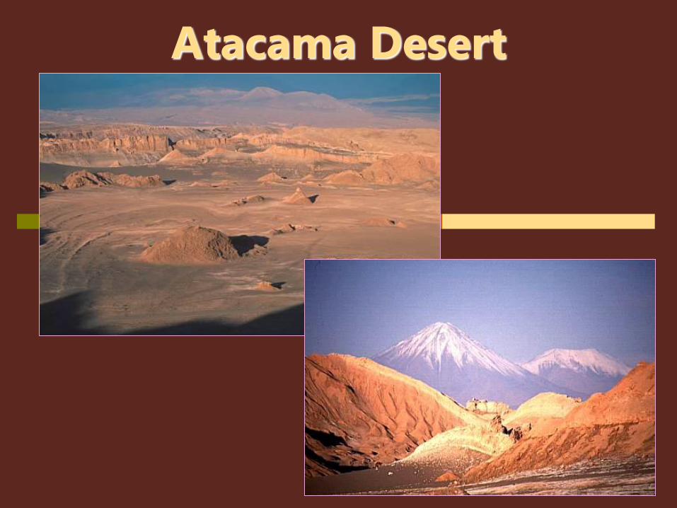
Atacama Desert
South America—Water Rivers serve as natural highways where it’s hard to
build roads provide food and hydroelectric power
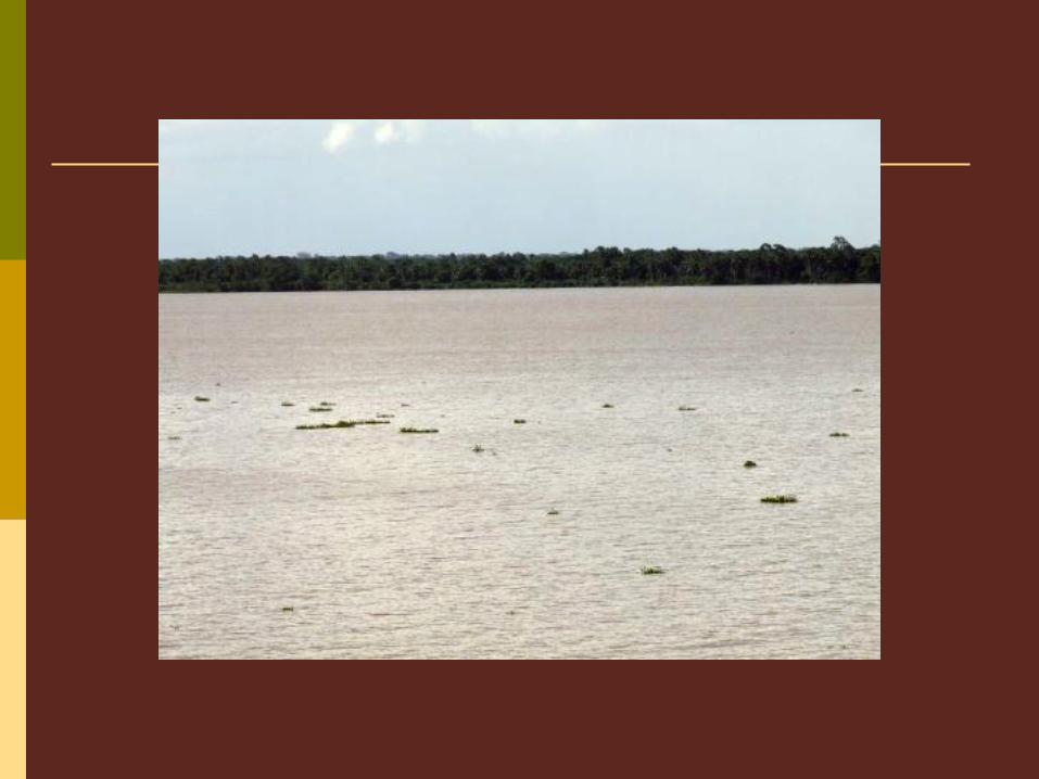
Amazon River—2nd largest river in the world (1st--Nile River) 4,000 miles from Peru across to Atlantic Ocean
Contains 20% of all fresh water in the world!
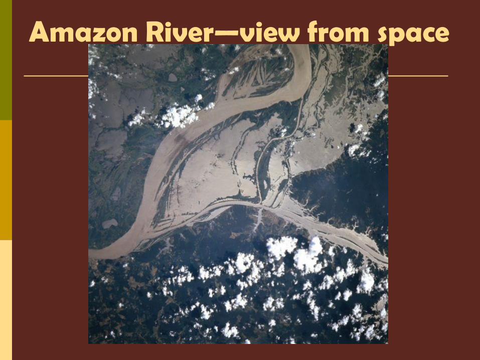
Amazon River—view from space
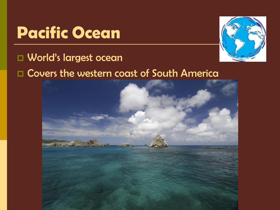
Pacific Ocean World’s largest ocean
Covers the western coast of South America