Embed Size (px)
Citation preview
Location, Climate, & Natural Resources
SS6G3
Latin America
• How do location, climate, and natural resources affect where people live and how they trade in Latin America?
• Let’s take a closer look at Mexico, Venezuela, Brazil, & Cuba…
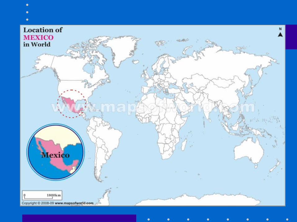
Mexico
• Read page 20 in your CRCT book.
Mexico’s Location• south of the US, east of the Pacific
Ocean, and west of the Gulf of Mexico & Caribbean Sea
• located between major bodies of water: – great opportunities for trading– can easily ship goods around the world
• another advantage: close to US, so trade between two countries is convenient
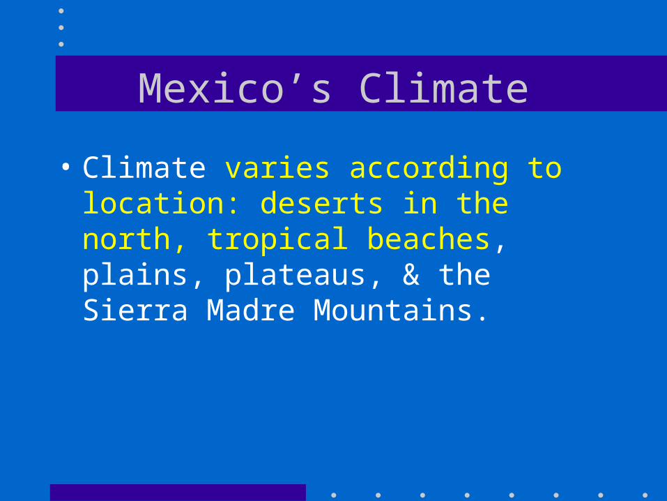
Mexico’s Climate
• Climate varies according to location: deserts in the north, tropical beaches, plains, plateaus, & the Sierra Madre Mountains.
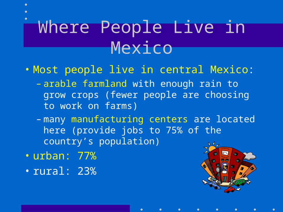
Where People Live in Mexico
• Most people live in central Mexico:– arable farmland with enough rain to
grow crops (fewer people are choosing to work on farms)
– many manufacturing centers are located here (provide jobs to 75% of the country’s population)
• urban: 77%• rural: 23%
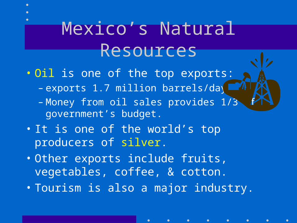
Mexico’s Natural Resources
• Oil is one of the top exports:– exports 1.7 million barrels/day– Money from oil sales provides 1/3 of
government’s budget.
• It is one of the world’s top producers of silver.
• Other exports include fruits, vegetables, coffee, & cotton.
• Tourism is also a major industry.
Trade in Mexico• 7 major seaports• exports: oil, manufactured goods,
silver, fruits, vegetables, coffee, & cotton
• Tourism• US is their main trading partner
(3/4 of their trade)
Which metal is mined more in Mexico than anywhere else?
A. CopperB. IronC. LeadD. silver
Which country has about ¾ of the trade with Mexico?
A. BrazilB. GuyanaC. United StatesD. Venezuela
Which region of Mexico has the most people?
A. Central PlateauB. Northern desertsC. Sierra Madre MountainsD. Tropical beaches
Which is a problem for the farmers of Mexico?
A. The soil is not very productiveB. Many areas have too much rainfallC. There is not enough sunlight to
grow cropsD. There are few businesses to sell
farm equipment
Venezuela
• Read page 22 in your CRCT book.
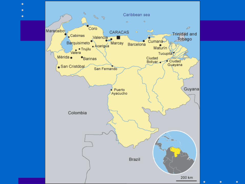
Venezuela’s Location• in northeast part of South America; just north
of equator• coasts on Caribbean Sea and Atlantic Ocean
– gives it easy access to trade with other countries– nearby Panama Canal provides a shortcut to the
Pacific to trade with Asian countries
• mountains in the north and south, only about 3% arable land
Venezuela’s Climate
• hot, tropical climate• cooler in the mountains• rain varies by region (16 inches on
the coast; over 100 inches in the mountains)
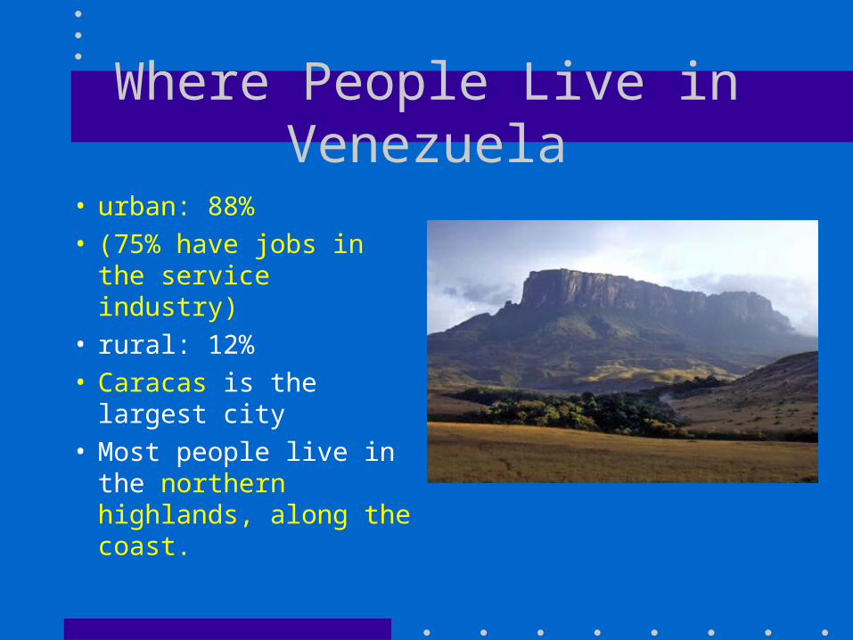
Where People Live in Venezuela
• urban: 88%• (75% have jobs in
the service industry)• rural: 12%• Caracas is the
largest city• Most people live in
the northern highlands, along the coast.
Venezuela’s Natural Resources
• sixth-largest oil exporter in the world– produces 2.8 million barrels/day– 90% of the money the government
makes on trade comes from oil exports
• Farming provides jobs for 10% of the population.
Trade in Venezuela• 90% of money made on
exports comes from oil• 4 major seaports• other exports: bauxite and
aluminum, steel, chemicals, agricultural products, basic manufactures
• tourism
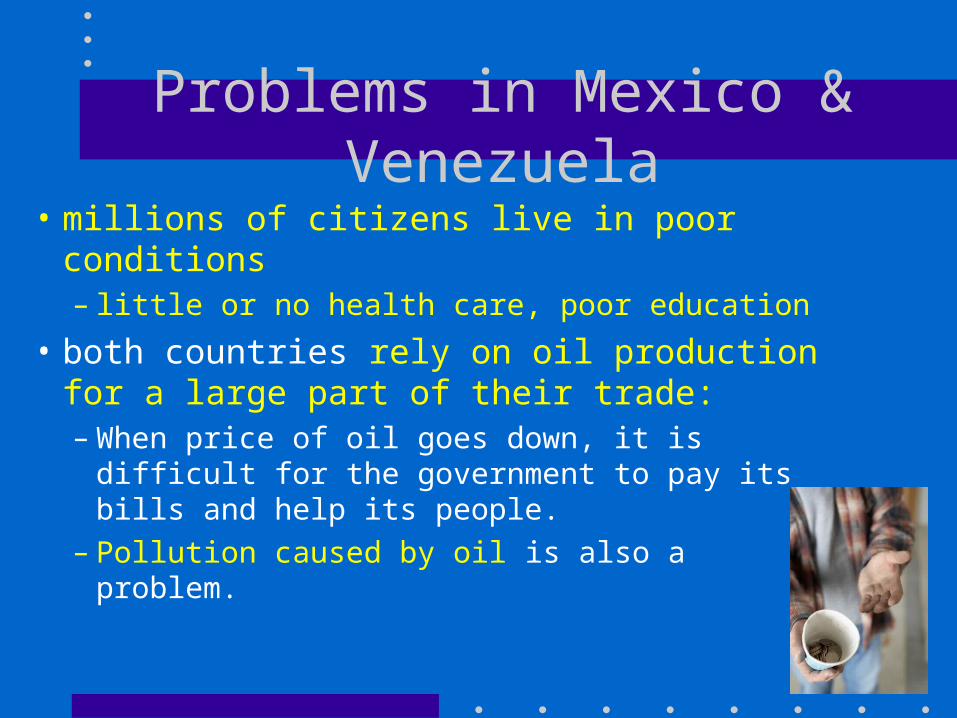
Problems in Mexico & Venezuela
• millions of citizens live in poor conditions– little or no health care, poor education
• both countries rely on oil production for a large part of their trade:– When price of oil goes down, it is difficult
for the government to pay its bills and help its people.
– Pollution caused by oil is also a problem.
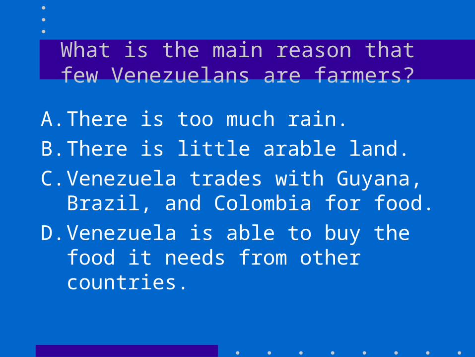
What is the main reason that few Venezuelans are farmers?
A. There is too much rain.B. There is little arable land.C. Venezuela trades with Guyana,
Brazil, and Colombia for food.D. Venezuela is able to buy the food
it needs from other countries.
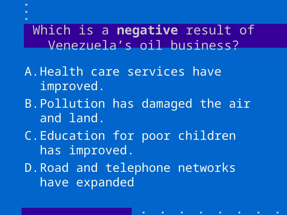
Which is a negative result of Venezuela’s oil business?
A. Health care services have improved.
B. Pollution has damaged the air and land.
C. Education for poor children has improved.
D. Road and telephone networks have expanded
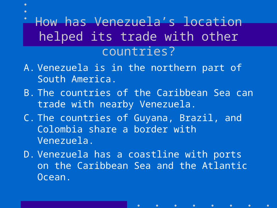
How has Venezuela’s location helped its trade with other countries?
A. Venezuela is in the northern part of South America.
B. The countries of the Caribbean Sea can trade with nearby Venezuela.
C. The countries of Guyana, Brazil, and Colombia share a border with Venezuela.
D. Venezuela has a coastline with ports on the Caribbean Sea and the Atlantic Ocean.
Most people in Venezuela live in what type of area?
A. RuralB. UrbanC. Half live in urban areas, half live
in ruralD. This information has not been
collected.
Mexico and Venezuela
• Use the chart on page 24 of your CRCT book to compare and contrast Mexico and Venezuela.
• Answer the questions on page 25
Brazil
• Read page 26 in your CRCT book.
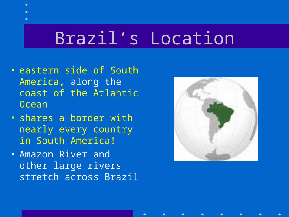
Brazil’s Location
• eastern side of South America, along the coast of the Atlantic Ocean
• shares a border with nearly every country in South America!
• Amazon River and other large rivers stretch across Brazil
Brazil’s Climate
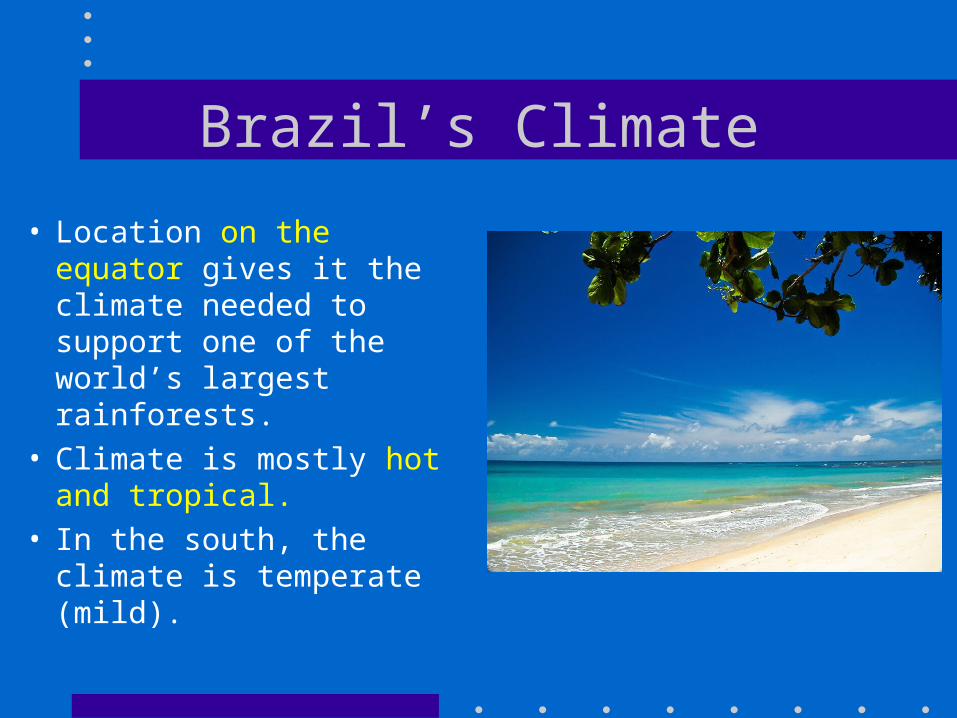
• Location on the equator gives it the climate needed to support one of the world’s largest rainforests.
• Climate is mostly hot and tropical.
• In the south, the climate is temperate (mild).
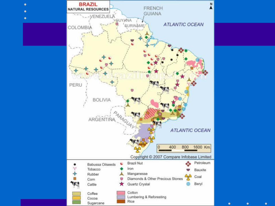
Brazil’s Natural Resources
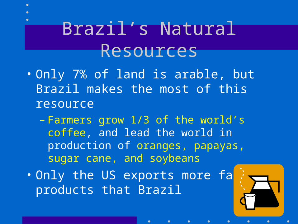
• Only 7% of land is arable, but Brazil makes the most of this resource– Farmers grow 1/3 of the world’s coffee,
and lead the world in production of oranges, papayas, sugar cane, and soybeans
• Only the US exports more farm products that Brazil
Where People Live in Brazil
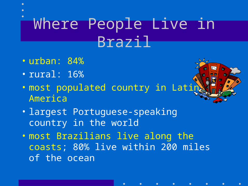
• urban: 84%• rural: 16%• most populated country in Latin
America• largest Portuguese-speaking country
in the world• most Brazilians live along the coasts;
80% live within 200 miles of the ocean
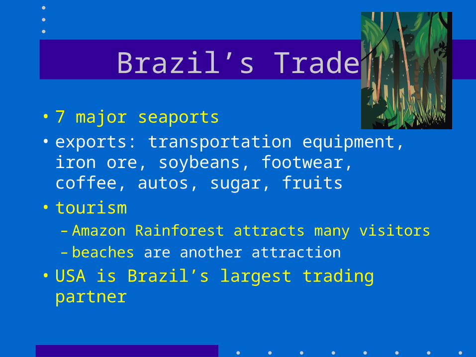
Brazil’s Trade
• 7 major seaports• exports: transportation equipment,
iron ore, soybeans, footwear, coffee, autos, sugar, fruits
• tourism– Amazon Rainforest attracts many visitors– beaches are another attraction
• USA is Brazil’s largest trading partner
Where do most Brazilians live in their country?
A. In the interiorB. Along the Amazon RiverC. In the Amazon rain forestD. Along the eastern, coastal areas
The climate of Brazil allows farmers to export all of these crops EXCEPT
A. CoffeeB. OrangesC. Sugar caneD. wheat
Which natural resource is an important export for Brazil?
A. CarsB. Iron oreC. ShoesD. Sugar cane
Why does Brazil have a fast growing tourism industry?
A. Most Brazilians live in urban areas and need jobs.
B. Most brazilians live within 20 miles of the coast.
C. Brazil has many cities scattered across the country that tourists enjoy visiting.
D. Brazil has many natural wonders that cannot be found anywhere else in the world.
How does Brazil’s location help it trade with other countires?
A. There are 7 major seaports along the Atlantic coast.
B. The Amazon River allows ships to travel inland to the Andes
C. Brazil shares a border with nearly every other South American country.
D. Brazil is able to purchase from other countries goods that it cannot make on its own.
Cuba
• Read page 28 in your CRCT book.
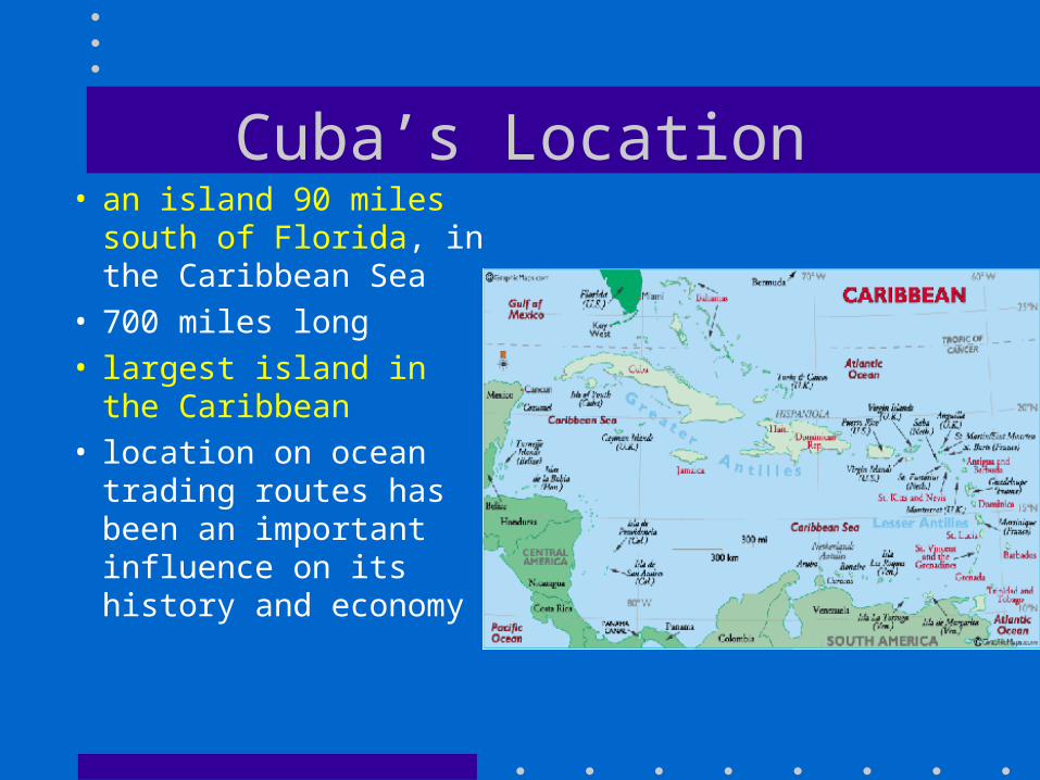
Cuba’s Location• an island 90 miles
south of Florida, in the Caribbean Sea
• 700 miles long• largest island in the
Caribbean• location on ocean
trading routes has been an important influence on its history and economy
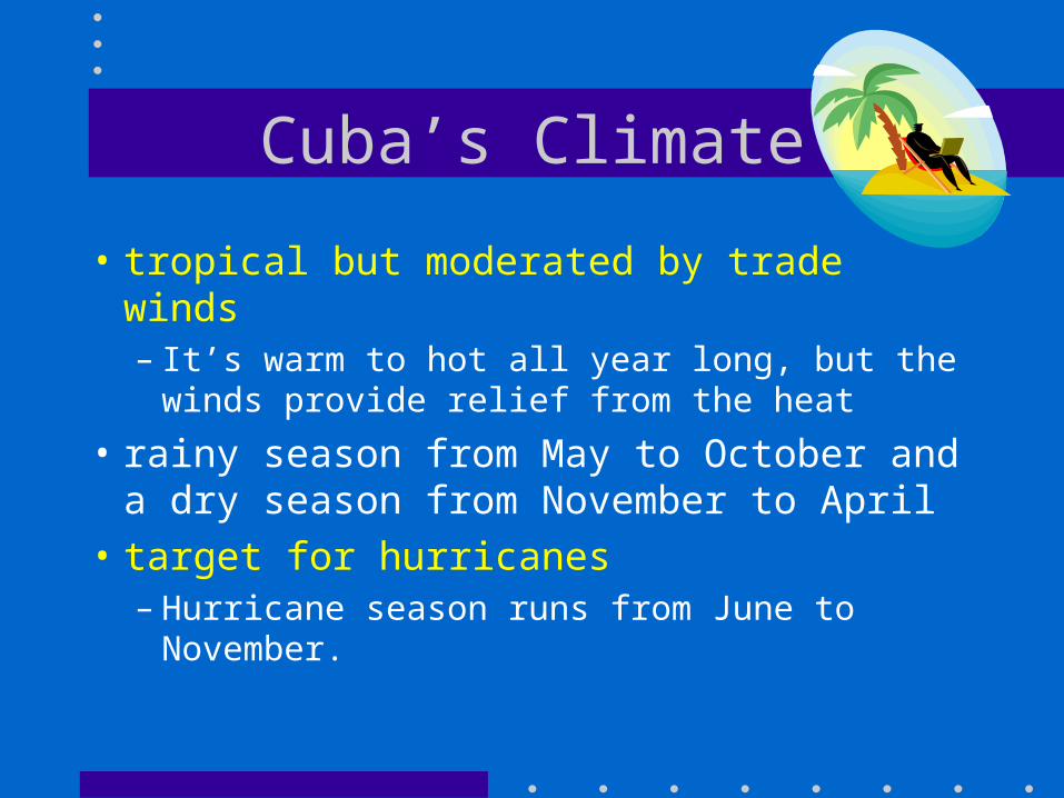
Cuba’s Climate
• tropical but moderated by trade winds– It’s warm to hot all year long, but the
winds provide relief from the heat
• rainy season from May to October and a dry season from November to April
• target for hurricanes– Hurricane season runs from June to
November.
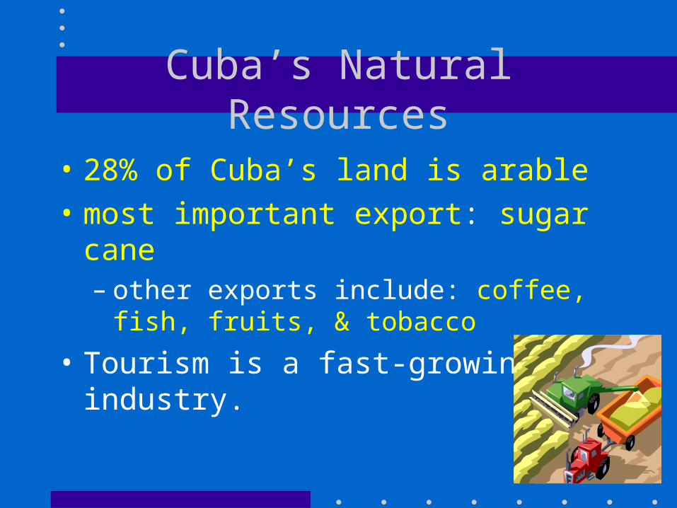
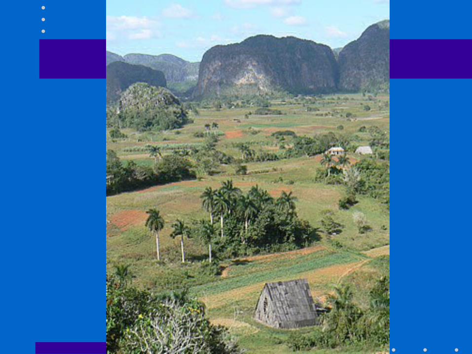
Cuba’s Natural Resources
• 28% of Cuba’s land is arable• most important export: sugar cane
– other exports include: coffee, fish, fruits, & tobacco
• Tourism is a fast-growing industry.
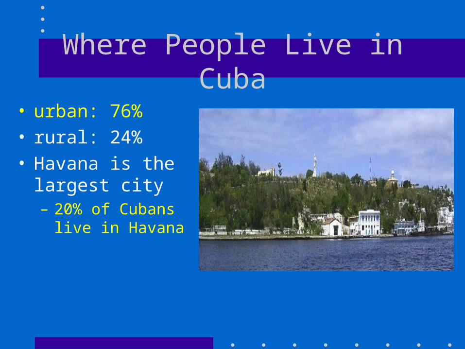
Where People Live in Cuba
• urban: 76%• rural: 24%• Havana is the
largest city– 20% of Cubans
live in Havana
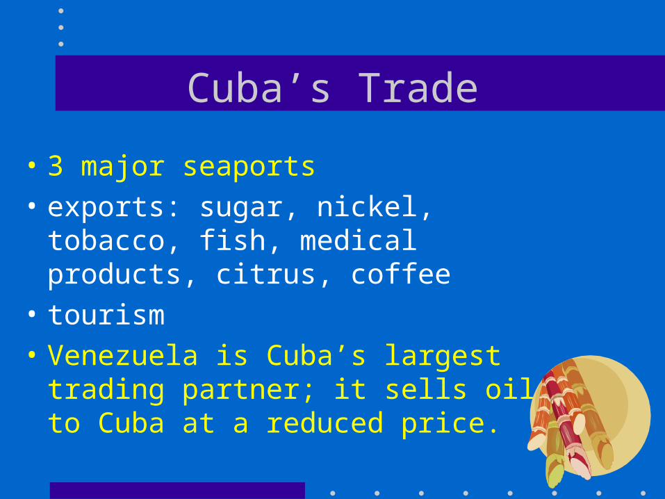
Cuba’s Trade
• 3 major seaports• exports: sugar, nickel, tobacco, fish,
medical products, citrus, coffee• tourism • Venezuela is Cuba’s largest trading
partner; it sells oil to Cuba at a reduced price.
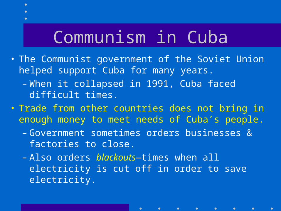
Communism in Cuba• The Communist government of the Soviet Union
helped support Cuba for many years.– When it collapsed in 1991, Cuba faced difficult
times.• Trade from other countries does not bring in
enough money to meet needs of Cuba’s people.– Government sometimes orders businesses &
factories to close.– Also orders blackouts—times when all
electricity is cut off in order to save electricity.
What has been the main export for Cuba for the past 200 years?
A. CoffeeB. FishC. FruitsD. sugar
Which industries are helped the MOST by Cuba’s location on the
ocean?
A. Tourism and fishingB. Fishing and tobaccoC. Sugar and health careD. Tourism and health care
Which product does Venezuela provide at a reduced cost to Cuba?
A. fishB. OilC. Sugar caneD. wheat
The large amount of arable land is MOST helpful to which industry?
A. FarmingB. FishingC. ManufacturingD. tourism

What country supported Cuba until 1991?
A. CanadaB. Soviet UnionC. United StatesD. Venezuela
The US has what type of trade barrier against Cuba?
A. NAFTAB. EmbargoC. QuotaD. tariff
Brazil and Cuba
• Using the chart on page 30 of your CRCT book – Answer the questions on page 31.
Latin American Mascots!
• Create a mascot to represent one of the following countries: Cuba, Mexico, Brazil, and Venezuela.
1.Create an illustration of your country’s mascot.
2.Write at least 3 reasons why the mascot represents your country.

Juan the Taco!
1. Most people live in the center of Mexico; most of the filling of the taco is in the center.
2. The yellow shell of the taco represents the sun in Mexico.
3. Help me think of another!