Embed Size (px)
Citation preview
Broward County East Coast Protective Levee Technical Evaluation
USACE Levee Safety Program
2
Miles of Levees in the Nation
USACE O&M (2000 miles)
USACE Construct/Locally O&M (10830 miles)
Locally Construct/RIP (2030 miles)
All Others
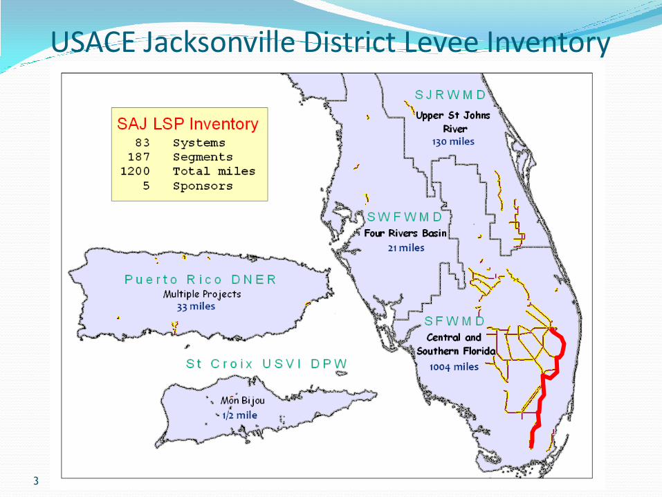
USACE Jacksonville District Levee Inventory PROGRAM
3
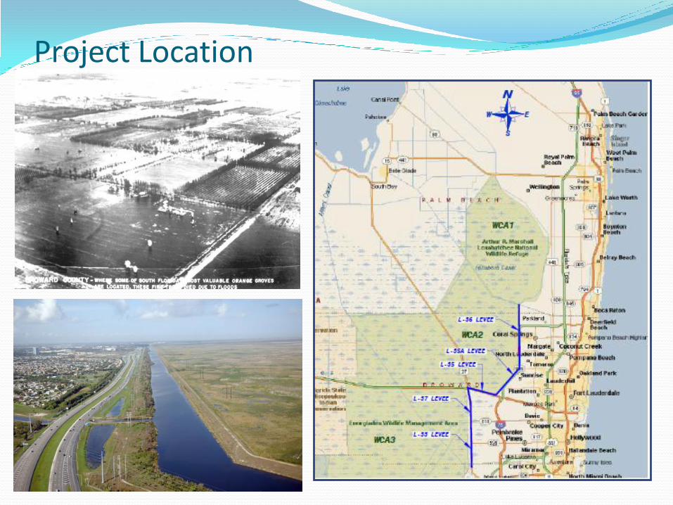
Project Location
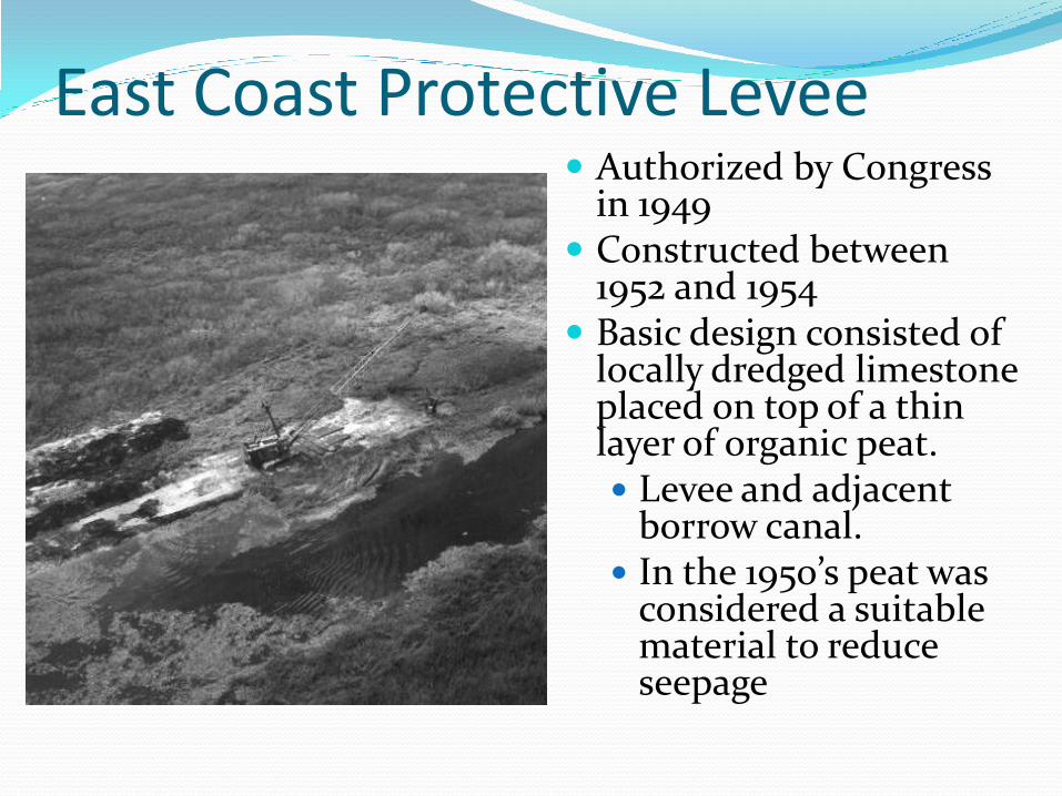
East Coast Protective Levee Authorized by Congress
in 1949 Constructed between
1952 and 1954 Basic design consisted of
locally dredged limestone placed on top of a thin layer of organic peat. Levee and adjacent
borrow canal. In the 1950’s peat was
considered a suitable material to reduce seepage
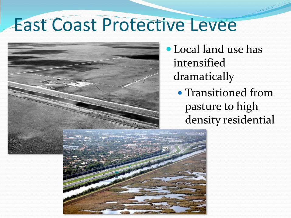
East Coast Protective Levee Local land use has
intensified dramatically
Transitioned from pasture to high density residential
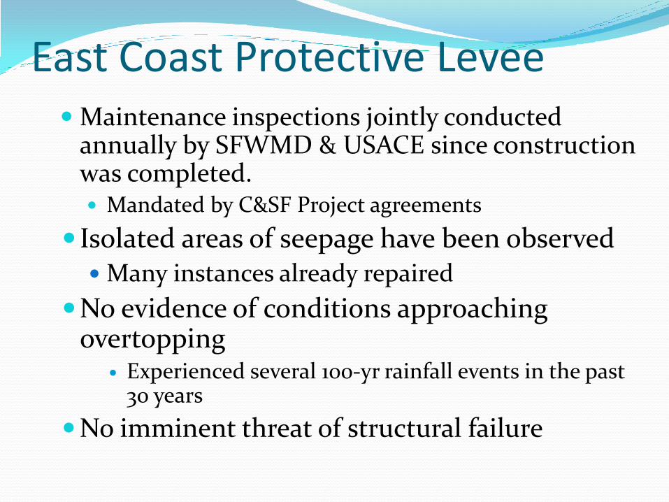
East Coast Protective LeveeMaintenance inspections jointly conducted
annually by SFWMD & USACE since construction was completed. Mandated by C&SF Project agreements
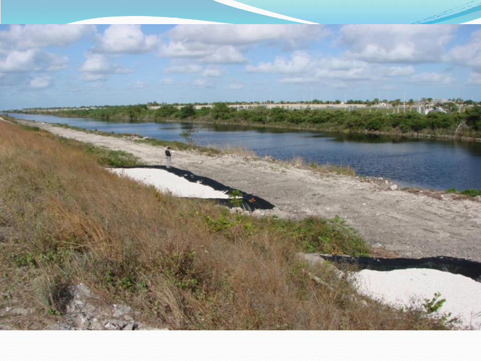
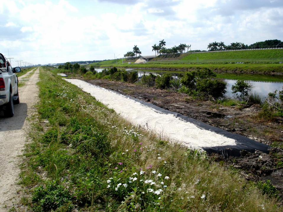
Isolated areas of seepage have been observed Many instances already repaired
No evidence of conditions approaching overtopping
Experienced several 100-yr rainfall events in the past 30 years
No imminent threat of structural failure
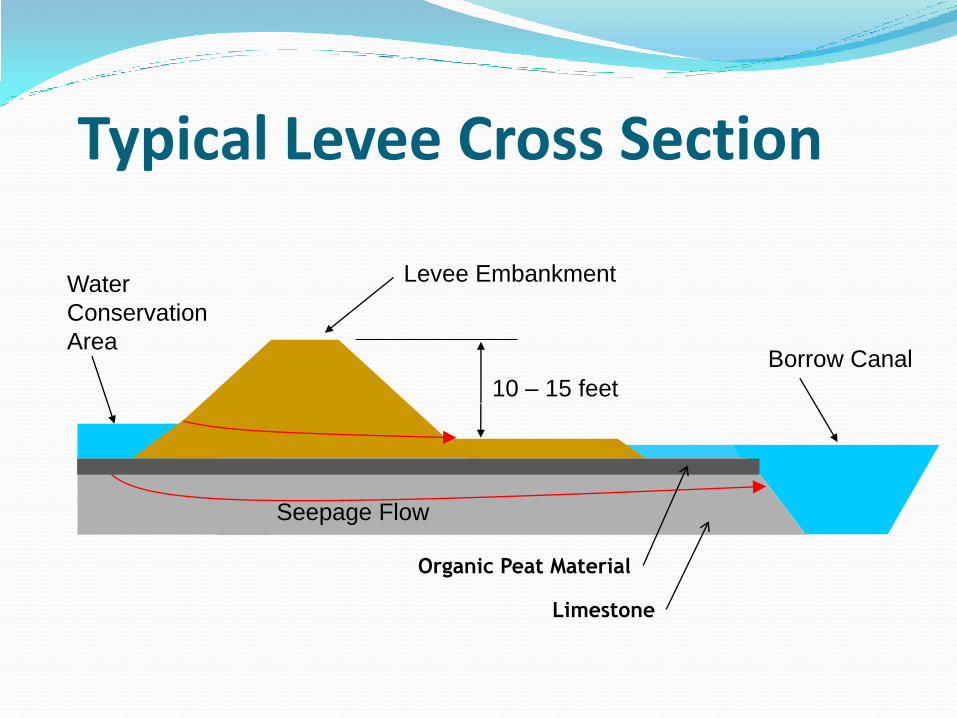
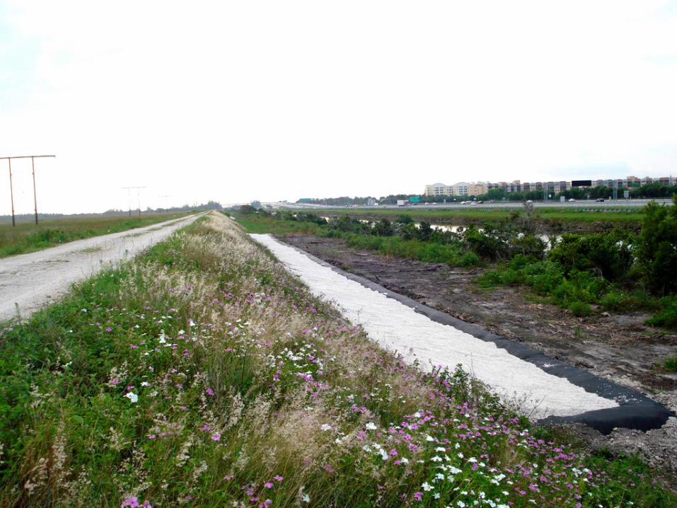
Typical Levee Cross Section
Water
Conservation
Area
Levee Embankment
10 – 15 feet
Borrow Canal
Seepage Flow
Organic Peat Material
Limestone
Levee Issues
USACE Maintenance Performance Inspections
National inventory (Post-Katrina)
National Levee Safety Commission Recommendations
Will recommend a national levee safety program to Congress and the President in 2011
FEMA Flood Map Modernization
Current effort by Broward County
Post-Katrina requirements include structural certification by levee owners
Broward County FEMA Mapping
Broward County is working with FEMA to update the county’s Flood Insurance Rate Maps
FEMA requires that any levee owners certify that the structure can withstand a 100-Year Storm Event
If the structures cannot be certified, then the mapping analysis will consider that the levee does not exist
This would result in a significant increase in flood insurance rates for existing policy owners and
would require flood insurance for property owners within the expanded flood plain
FEMA Mapping – Sequence of Events
Participating County requests levee certification
If the levee owner believes that the structure is certifiable, then they can obtain a Provisional Accreditation from FEMA
Allows up to 2 years for the levee owner to provide a certification to FEMA
During this period, no changes occur to existing flood insurance rates or flood plain extent
SFWMD contracted BCI Engineers, Inc. to provide a hydrologic and geotechnical analysis of the ECPL toward certification
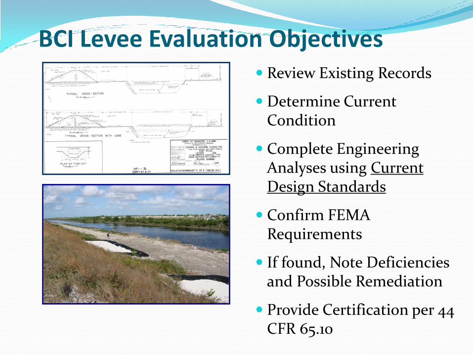
BCI Levee Evaluation Objectives Review Existing Records
Determine Current Condition
Complete Engineering Analyses using Current Design Standards
Confirm FEMA Requirements
If found, Note Deficiencies and Possible Remediation
Provide Certification per 44 CFR 65.10

Levee AssessmentFreeboard
Structures
Levee Embankment
• Seepage
• Stability
• Settlement
Interior Drainage
Adjacent Drainage Systems
Assessment of Freeboard and Embankment Protection
Calculate Static Water Level: Water Budget Model
Calculate Wind Tide Height
Calculate Significant Wave Height, and Wave Period
Calculate Run-up Height
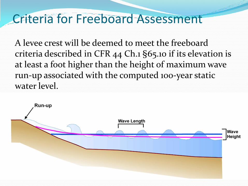
Criteria for Freeboard Assessment
A levee crest will be deemed to meet the freeboard criteria described in CFR 44 Ch.1 §65.10 if its elevation is at least a foot higher than the height of maximum wave run-up associated with the computed 100-year static water level.
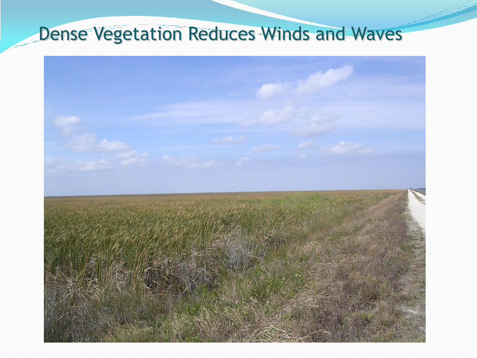
Dense Vegetation Reduces Winds and Waves
Freeboard Results
The crest elevations for the embankments of the ECPL in Broward County exceed the 100-year flood elevations (including runup with a one-foot freeboard).
One area of exception is approximately 1000 linear feet of the L-36 in the vicinity of S-38B
Geotechnical Investigation
Site Investigation
Seepage Modeling
Internal Erosion
Stability Analysis
Settlement Analysis
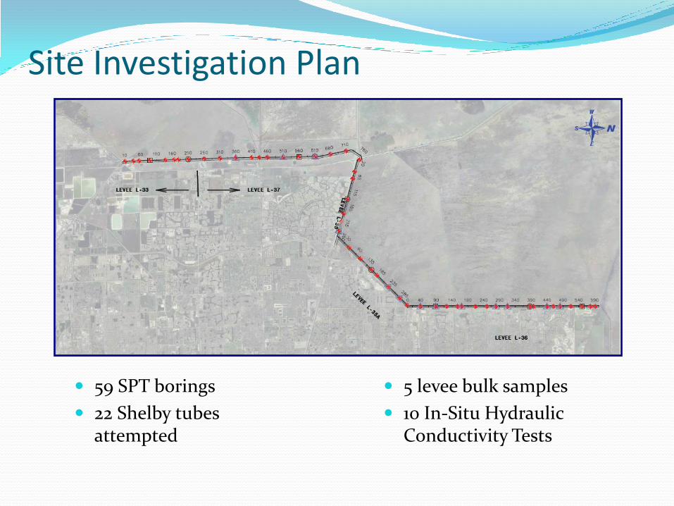
Site Investigation Plan
59 SPT borings
22 Shelby tubes attempted
5 levee bulk samples
10 In-Situ Hydraulic Conductivity Tests
Settlement Analyses Results
Modeled Each Boring Location with Peat Layer
Primary Consolidation Typically Completed within 1 Year of Construction
Estimate Average Settlement of 0.15 feet (0.40 feet max.) over Next 50 Years
Seepage Analyses Results Normal Operating Level
Results Generally Match Observed Levee Conditions
Seepage Increases from North to South
Found Isolated High Exit Gradients (0.2 to 0.4), Could generate internal erosion
Which can be controlled with Toe Berm or managed thru other solutions
100-Year Storm Level
Flow Similar To Normal Operating Level
Maximum Exit Gradients Increase Substantially (Often 0.2 to 0.75) Toe Berm Would Act as Positive Cut Off for Piping thru Peat Layer
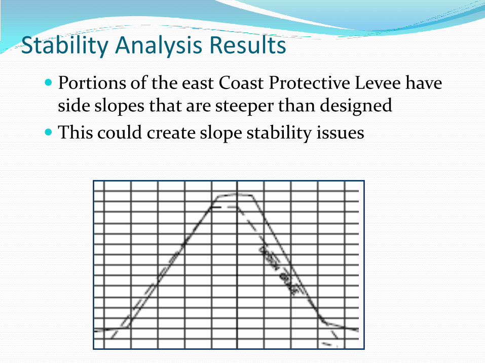
Stability Analysis Results
Portions of the east Coast Protective Levee have side slopes that are steeper than designed
This could create slope stability issues
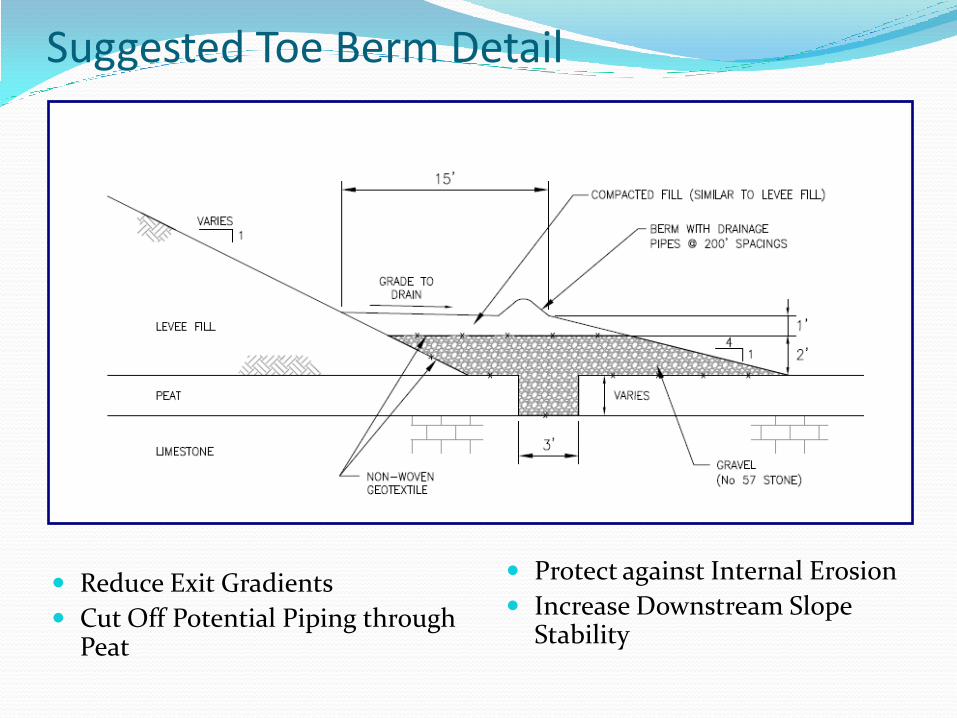
Suggested Toe Berm Detail
Reduce Exit Gradients
Cut Off Potential Piping through Peat
Protect against Internal Erosion
Increase Downstream Slope Stability
Geotechnical Conclusions
Raise crest of about 1000 feet of L-36 in the vicinity of S-38B
Recommend Construction of Downstream Toe Berm along Levee Alignments
Engineering design will determine;
Most appropriate areas for remediation and their priority
Cost & schedule
Flatten Upstream Slope; parts of L-36
Perform additional geo-tech analysis in specific areas
Community Outreach Directly informed a network of Broward County
community leaders, elected officials and media using ECPL outreach materials (talking points, fact sheet, written media responses).
Coordinating web page development with Broward County
Coordinated several interviews with senior staff for major South Florida media outlets to ensure accurate information delivered to the public.
Coordinating with Broward County and affected communities as the District moves forward
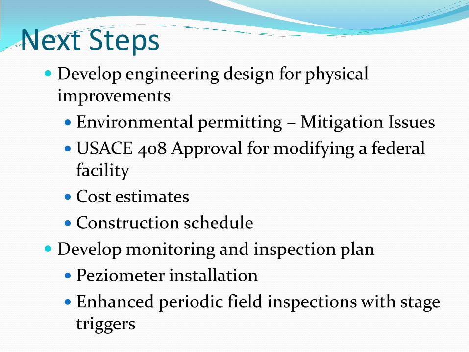
Next Steps Develop engineering design for physical
improvements
Environmental permitting – Mitigation Issues
USACE 408 Approval for modifying a federal facility
Cost estimates
Construction schedule
Develop monitoring and inspection plan
Peziometer installation
Enhanced periodic field inspections with stage triggers
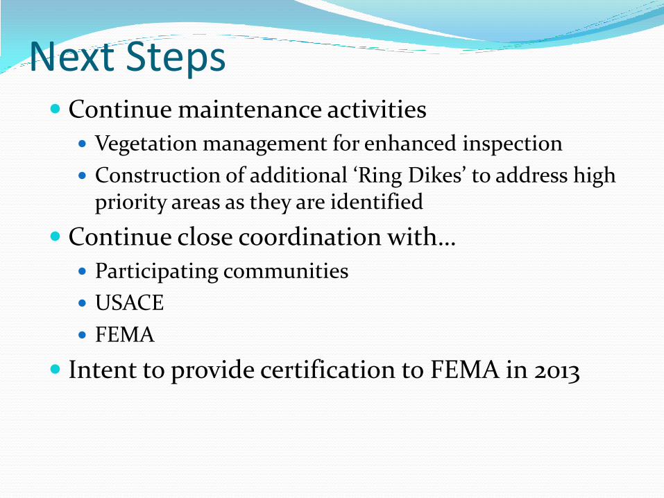
Next Steps Continue maintenance activities
Vegetation management for enhanced inspection
Construction of additional ‘Ring Dikes’ to address high priority areas as they are identified
Continue close coordination with…
Participating communities
USACE
FEMA
Intent to provide certification to FEMA in 2013

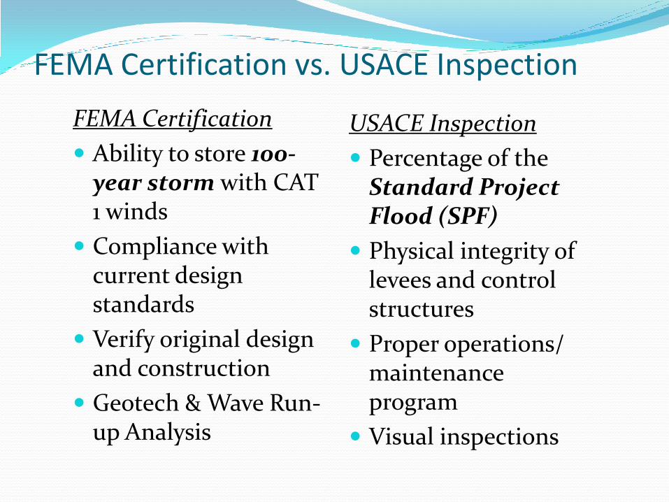
FEMA Certification vs. USACE Inspection
FEMA Certification
Ability to store 100-year storm with CAT 1 winds
Compliance with current design standards
Verify original design and construction
Geotech & Wave Run-up Analysis
USACE Inspection
Percentage of the Standard Project Flood (SPF)
Physical integrity of levees and control structures
Proper operations/ maintenance program
Visual inspections