Embed Size (px)
Citation preview
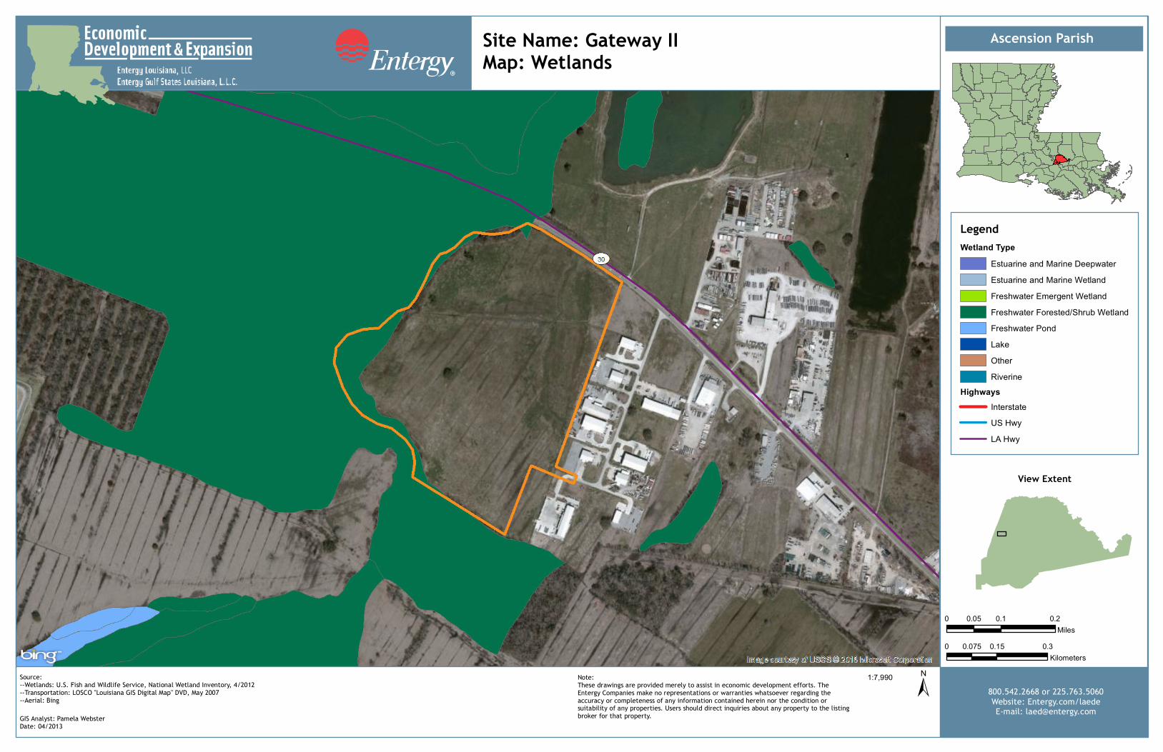
Ascension Parish
LegendWetland Type
Estuarine and Marine DeepwaterEstuarine and Marine WetlandFreshwater Emergent WetlandFreshwater Forested/Shrub WetlandFreshwater PondLakeOtherRiverine
HighwaysInterstateUS HwyLA Hwy
View Extent
0 0.1 0.20.05Miles
0 0.15 0.30.075Kilometers
±1:7,990Source:--Wetlands: U.S. Fish and Wildlife Service, National Wetland Inventory, 4/2012--Transportation: LOSCO "Louisiana GIS Digital Map" DVD, May 2007--Aerial: Bing
GIS Analyst: PCWDate: 01/2013
800.542.2668 or 225.763.5060Website: Entergy.com/laedeE-mail: [email protected]
Note:These drawings are provided merely to assist in economic development efforts. TheEntergy Companies make no representations or warranties whatsoever regarding theaccuracy or completeness of any information contained herein nor the condition orsuitability of any properties. Users should direct inquiries about any property to the listingbroker for that property.GIS Analyst: Pamela Webster
Date: 04/2013
Site Name: Gateway IIMap: Wetlands