Embed Size (px)
Citation preview
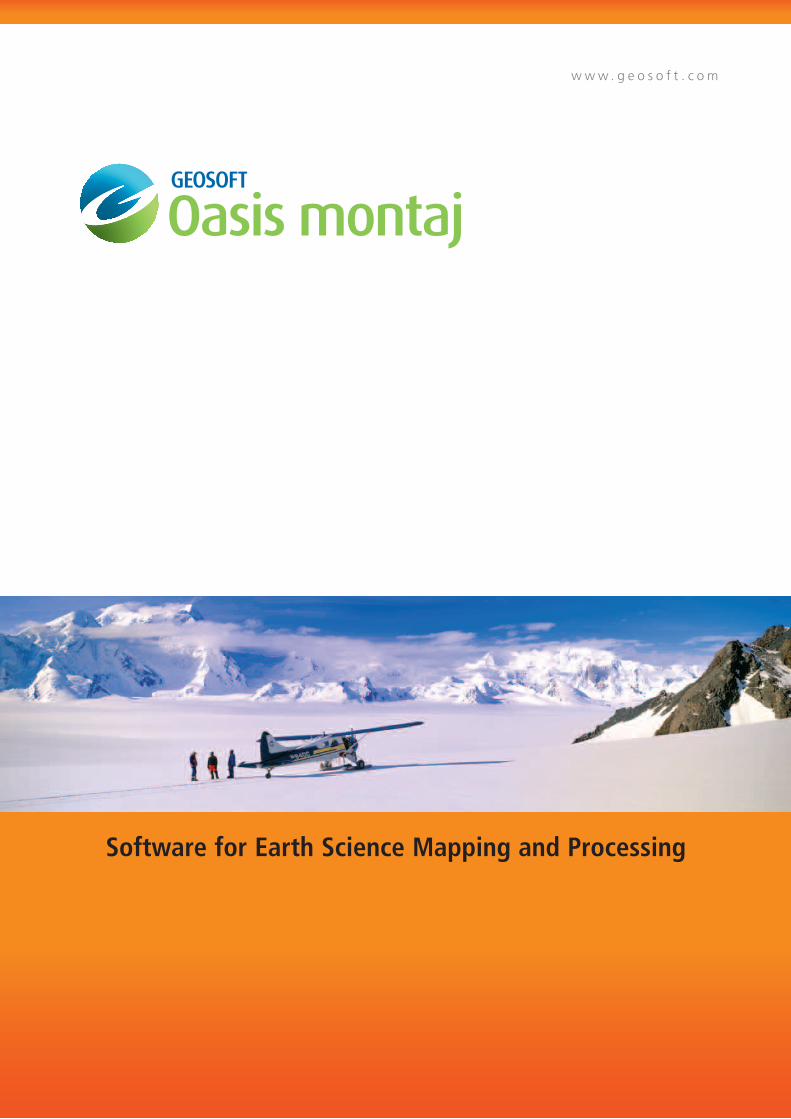
w w w . g e o s o f t . c o m
Software for Earth Science Mapping and Processing
“The raw power that Oasis montaj provides for quickly and easily creating and recreating grids, tweaking colour bars, recontouring, and doing real time sun shading with different orientations of lineaments, is not available in any other software program…”
Bill Pearson, Pearson Technologies Interactive Visualization
Why Oasis montaj?
A leading exploration technology solution, Oasis montaj
provides a scalable environment for efficiently importing,
processing, viewing, analyzing and sharing large volume
geophysical, geochemical and geological data, all within
one integrated environment.
This powerful mapping and processing software is designed to support and
streamline your daily problem solving needs, with a rich set of easy to use
features that meet and exceed rising global standards.
Join the global leaders in earth exploration and geosciences currently
using Geosoft® Oasis montaj™ technology, to increase productivity and
profitability.
Use Oasis montaj for:
Oasis montaj provides a complete data experience, including
data access, processing, interpretation, data sharing and
decision making.
Industries that use Oasis montaj:
•Mineralexploration
•GovernmentGeologicalSurveys
•OilandGasExploration
•UXO(UnexplodedOrdnance)detection
•Environmental
•Education
“We remain focused on usability and productivity advances within the Geosoft environment, allowing us to put more power, flexibility and control into the hands of our clients. This focus is the foundation of our vision to help geoscientists recapture time lost to handling and working with data, so they are free to explore.”
LouisRacic,GeosoftProductManagementDirector
Proven ROI
A proven industry standard technology, Oasis montaj achieves long term savings in both time and money. Integrated productivity tools maximize your ability to make strategic use of large volumes of geoscience data within today’s compressed project time lines.
• Accessallavailabledataforacompleteinvestigationandinformeddecisionmaking.• Collectandviewdataforquicksiteassessmentinthefield,oruseOasismontajforindepthprocessing
and analysis. • Createsophisticatedvisualizationstoguidesubsurfaceexploration.• Constructprofessionalqualitymapsofcomplex3Dearthmodelsforsharingyourinformationwith
colleagues and investors.
Key Features
Professional map-making Whether you’re a geologist, geochemist or geophysicist, easily create maps to share, integrate data and use in presentations. Quickly access standard map templates from the template library or customize your own. Templates are fully scriptable for power users.
Subsurface 3D visualization simplifies viewing and analysis 3DcapabilitiesinOasismontajsoftware responds to the growing emergenceof3Dvisualizationasthe standard for integration and analysis of interdisciplinary data. Its stability, usability, axis display and voxel manipulation enable youtoquicklyintegrateallyourdata, from surfaces, drill data and geophysical models.
Seamless interoperability Oasis montaj supports a large range of data formats, including point data, grids and images, vectorsand3Ddata,throughnative format support or import/export. We support a large variety ofinstrumentdataformats,GISlayerformats,ODBClinkstodatabases as well as to wire frame and block model formats. We support most commonly used data formats to ensure seamless interoperability within our environment.
Pinpoint map data, through dynamic linking
Oasis montaj includes built-in dynamic linking between, and among, imagery, maps, profiles, graphs, data and metadata, in one, twoandthreedimensions.Clickona point on a map and immediately see the exact data point within the appropriate profile, graph or data view.IdealforQA/QC,itprovidesaquick,yetpowerfulwaytovisuallylink common features or areas of interest. It makes anomaly location andtargetselectionquickerandmore efficient. It also adds value throughout your project lifecycle, by enabling you to interact with data and immediately evaluate results.
Advanced gridding capabilities saves you time
Gridding algorithms with Oasis montaj are fast, efficient and optimized for large-volume geoscientific data. This enables you to interpolate data and to produce grids, using minimum curvature, bi-directional, trended, gradient, tinning and kriging gridding routines. Grid processing and enhancement tools include interactive shading display, grid windowing, the ability to create shaded relief grids and display grid outlines. An array of advanced grid utilities include: grid filters, locating grid peaks, boolean operators to merge overlapping grids, grid math functions, calculating grid volume and grid masking.
High-performance database
The built-in, high-performance database provides efficient storage for very large geoscientific data sets. Directaccesstodatacontainedinthe database is provided through a spreadsheet and an integrated profile display window. The database is the key advantage for working with large datasets at each stage of the project lifecycle,fromacquisition,storage,processing and analysis through to visualization and integration with other data and information.
ESRI Integration
ESRItechnologyisbuiltintoOasismontaj ensuring the seamless creation, viewing and sharing of ArcGISMXDandGeosoftMapfilesbetweenGeosoftandArcGISusers.
Built-in data access technology For complete investigation and informed decision making, use DappleGlobeViewertofind,displayand extract more data from a variety of data servers. You can search internal as well as public servers, includingDAP,ArcIMS,andTileservers, without leaving the Geosoft environment.
Advanced geophysical, geological and geochemical analysis
Geosoft montaj extensions and montaj plus extensions make Oasis montaj one of the world’s most robust and
comprehensive geoscience mapping and processing systems. Extensions are available for advanced geophysics and
geochemical data processing, analysis and quality control, 3D drillhole plotting, gravity and magnetic filtering, levelling,
interpretation and other functionality.
montaj extensions
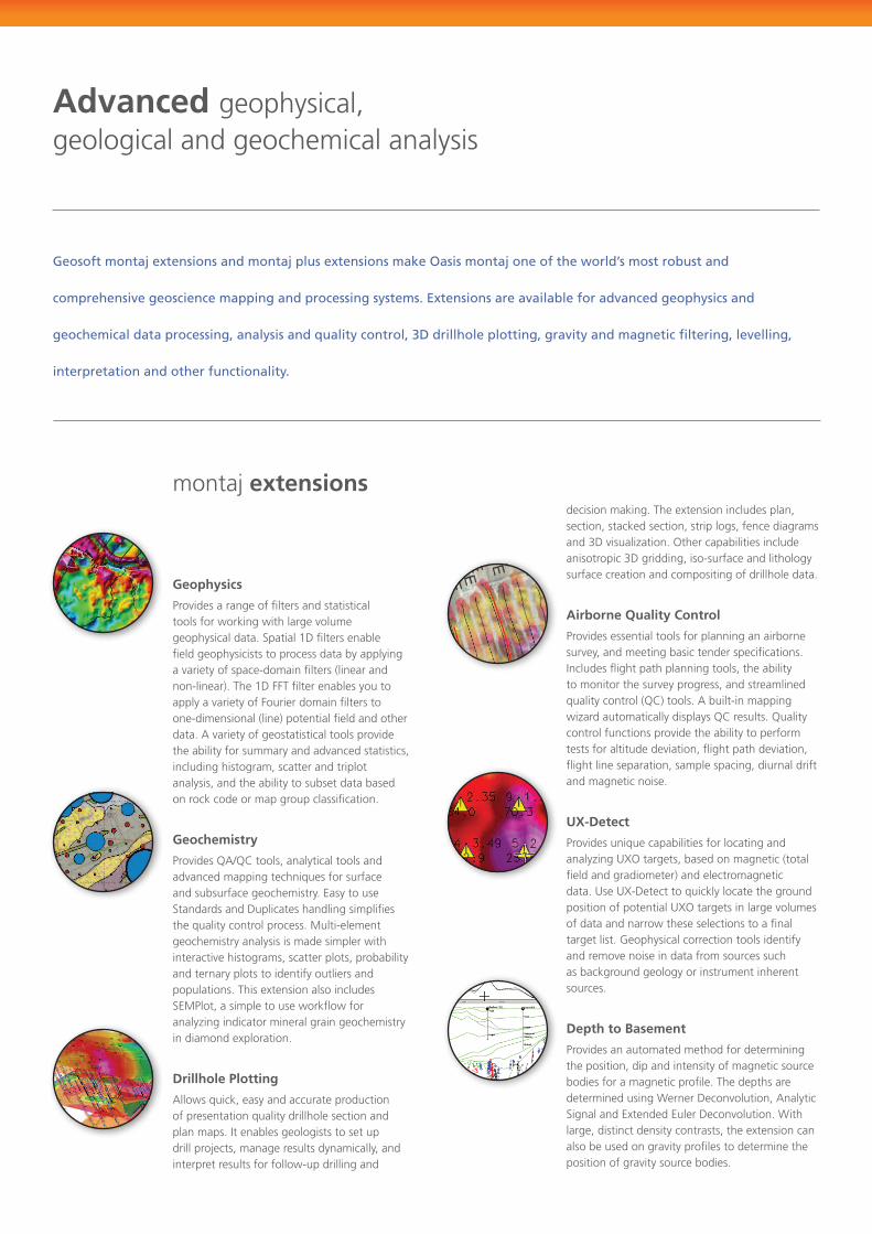
Geophysics
Provides a range of filters and statistical tools for working with large volume geophysicaldata.Spatial1Dfiltersenablefield geophysicists to process data by applying avarietyofspace-domainfilters(linearandnon-linear).The1DFFTfilterenablesyoutoapply a variety of Fourier domain filters to one-dimensional(line)potentialfieldandotherdata. A variety of geostatistical tools provide the ability for summary and advanced statistics, including histogram, scatter and triplot analysis, and the ability to subset data based on rock code or map group classification.
Geochemistry ProvidesQA/QCtools,analyticaltoolsandadvancedmappingtechniquesforsurfaceandsubsurfacegeochemistry.EasytouseStandardsandDuplicateshandlingsimplifiesthequalitycontrolprocess.Multi-elementgeochemistry analysis is made simpler with interactive histograms, scatter plots, probability and ternary plots to identify outliers and populations. This extension also includes SEMPlot,asimpletouseworkflowforanalyzing indicator mineral grain geochemistry in diamond exploration.
Drillhole Plotting Allowsquick,easyandaccurateproductionofpresentationqualitydrillholesectionandplan maps. It enables geologists to set up drill projects, manage results dynamically, and interpret results for follow-up drilling and
decision making. The extension includes plan, section, stacked section, strip logs, fence diagrams and3Dvisualization.Othercapabilitiesincludeanisotropic3Dgridding,iso-surfaceandlithologysurface creation and compositing of drillhole data.
Airborne Quality Control
Provides essential tools for planning an airborne survey, and meeting basic tender specifications. Includesflightpathplanningtools,theabilityto monitor the survey progress, and streamlined qualitycontrol(QC)tools.Abuilt-inmappingwizardautomaticallydisplaysQCresults.Qualitycontrol functions provide the ability to perform testsforaltitudedeviation,flightpathdeviation,flightlineseparation,samplespacing,diurnaldriftand magnetic noise.
UX-Detect ProvidesuniquecapabilitiesforlocatingandanalyzingUXOtargets,basedonmagnetic(totalfieldandgradiometer)andelectromagneticdata.UseUX-DetecttoquicklylocatethegroundpositionofpotentialUXOtargetsinlargevolumesof data and narrow these selections to a final target list. Geophysical correction tools identify and remove noise in data from sources such as background geology or instrument inherent sources.
Depth to Basement
Provides an automated method for determining the position, dip and intensity of magnetic source bodies for a magnetic profile. The depths are determinedusingWernerDeconvolution,AnalyticSignalandExtendedEulerDeconvolution.Withlarge, distinct density contrasts, the extension can also be used on gravity profiles to determine the position of gravity source bodies.
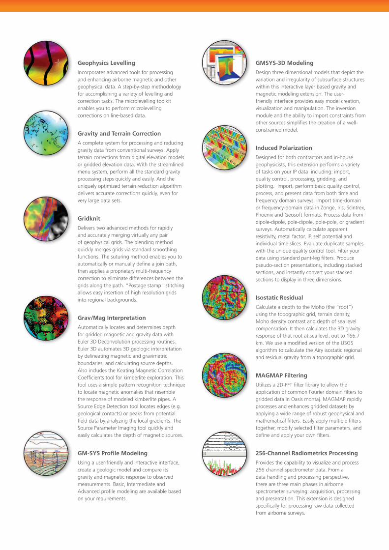
Geophysics Levelling
Incorporates advanced tools for processing and enhancing airborne magnetic and other geophysical data. A step-by-step methodology for accomplishing a variety of levelling and correction tasks. The microlevelling toolkit enables you to perform microlevelling corrections on line-based data.
Gravity and Terrain Correction A complete system for processing and reducing gravity data from conventional surveys. Apply terrain corrections from digital elevation models or gridded elevation data. With the streamlined menu system, perform all the standard gravity processingstepsquicklyandeasily.Andtheuniquelyoptimizedterrainreductionalgorithmdeliversaccuratecorrectionsquickly,evenforvery large data sets.
Gridknit Deliverstwoadvancedmethodsforrapidlyand accurately merging virtually any pair of geophysical grids. The blending method quicklymergesgridsviastandardsmoothingfunctions. The suturing method enables you to automatically or manually define a join path, thenappliesaproprietarymulti-frequencycorrection to eliminate differences between the grids along the path. “Postage stamp” stitching allows easy insertion of high resolution grids into regional backgrounds.
Grav/Mag Interpretation Automatically locates and determines depth for gridded magnetic and gravity data with Euler3DDeconvolutionprocessingroutines.Euler3Dautomates3Dgeologicinterpretationby delineating magnetic and gravimetric boundaries, and calculating source depths. AlsoincludestheKeatingMagneticCorrelationCoefficientstoolforkimberliteexploration.Thistoolusesasimplepatternrecognitiontechniqueto locate magnetic anomalies that resemble the response of modeled kimberlite pipes. A SourceEdgeDetectiontoollocatesedges(e.g.geologicalcontacts)orpeaksfrompotentialfield data by analyzing the local gradients. The SourceParameterImagingtoolquicklyandeasily calculates the depth of magnetic sources.
GM-SYS Profile Modeling Usingauser-friendlyandinteractiveinterface,create a geologic model and compare its gravity and magnetic response to observed measurements. Basic, Intermediate and Advanced profile modeling are available based onyourrequirements.
GMSYS-3D Modeling
Designthreedimensionalmodelsthatdepictthevariation and irregularity of subsurface structures within this interactive layer based gravity and magnetic modeling extension. The user-friendly interface provides easy model creation, visualization and manipulation. The inversion module and the ability to import constraints from other sources simplifies the creation of a well-constrained model.
Induced Polarization Designedforbothcontractorsandin-housegeophysicists, this extension performs a variety of tasks on your IP data including: import, qualitycontrol,processing,gridding,andplotting.Import,performbasicqualitycontrol,process, and present data from both time and frequencydomainsurveys.Importtime-domainorfrequency-domaindatainZonge,Iris,Scintrex,Phoenix and Geosoft formats. Process data from dipole-dipole, pole-dipole, pole-pole, or gradient surveys. Automatically calculate apparent resistivity, metal factor, IP, self potential and individualtimeslices.Evaluateduplicatesampleswiththeuniquequalitycontroltool.Filteryourdata using standard pant-leg filters. Produce pseudo-section presentations, including stacked sections, and instantly convert your stacked sections to display in three dimensions.
Isostatic Residual CalculateadepthtotheMoho(the“root”)using the topographic grid, terrain density, Mohodensitycontrastanddepthofsealevelcompensation.Itthencalculatesthe3Dgravityresponseofthatrootatsealevel,outto166.7km.WeuseamodifiedversionoftheUSGSalgorithm to calculate the Airy isostatic regional and residual gravity from a topographic grid.
MAGMAP Filtering Utilizesa2D-FFTfilterlibrarytoallowtheapplication of common Fourier domain filters to griddeddatainOasismontaj.MAGMAPrapidlyprocesses and enhances gridded datasets by applying a wide range of robust geophysical and mathematicalfilters.Easilyapplymultiplefilterstogether, modify selected filter parameters, and define and apply your own filters.
256-Channel Radiometrics Processing Provides the capability to visualize and process 256channelspectrometerdata.Fromadata handling and processing perspective, there are three main phases in airborne spectrometersurveying:acquisition,processingand presentation. This extension is designed specifically for processing raw data collected from airborne surveys.
Expand your capabilities with montaj plus partner extensions
Geosoft montaj extensions and montaj plus extensions make Oasis montaj one of the world’s most robust and
comprehensive geoscience mapping and processing systems. Extensions are available for advanced geophysics and
geochemical data processing, analysis and quality control, 3D drillhole plotting, gravity and magnetic filtering, levelling,
interpretation and other functionality.
montaj plusextensions
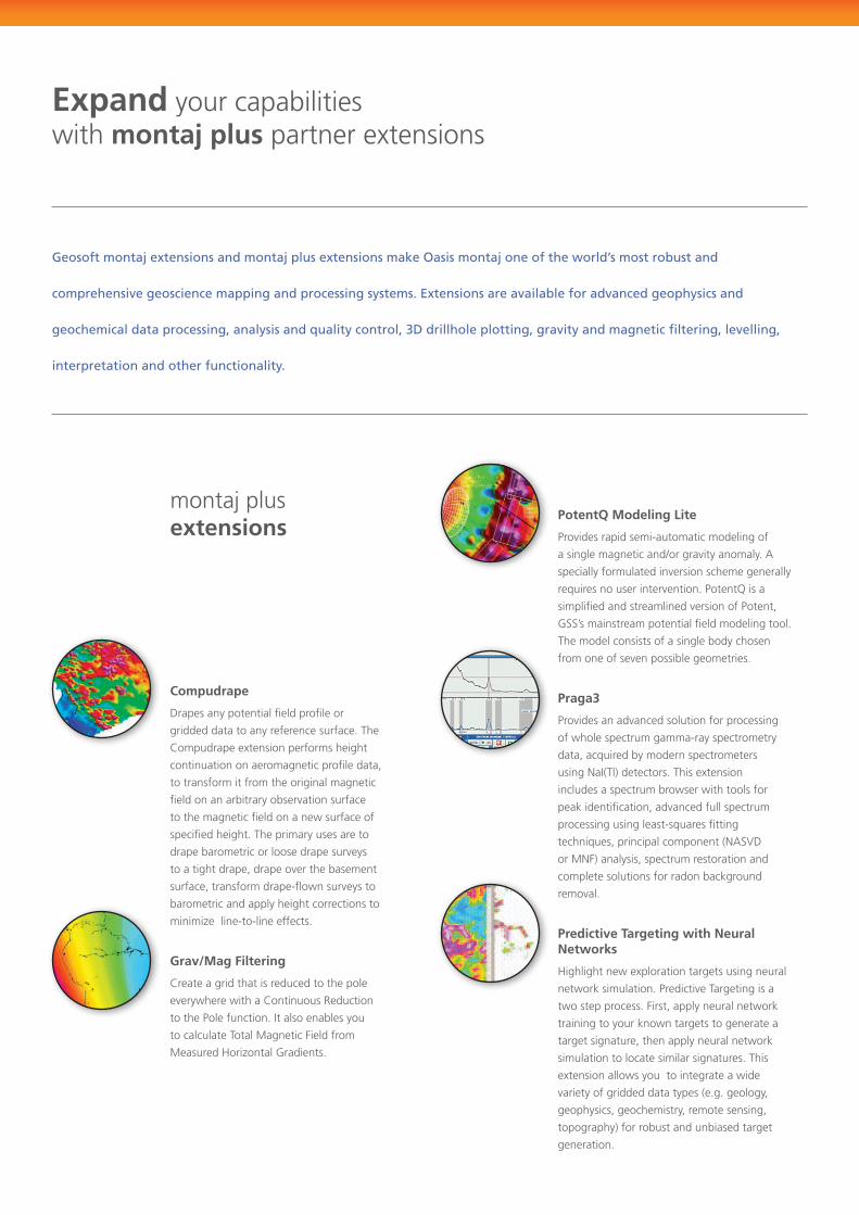
Compudrape
Drapesanypotentialfieldprofileor
gridded data to any reference surface. The
Compudrapeextensionperformsheight
continuation on aeromagnetic profile data,
to transform it from the original magnetic
field on an arbitrary observation surface
to the magnetic field on a new surface of
specified height. The primary uses are to
drape barometric or loose drape surveys
to a tight drape, drape over the basement
surface,transformdrape-flownsurveysto
barometric and apply height corrections to
minimize line-to-line effects.
Grav/Mag Filtering
Createagridthatisreducedtothepole
everywherewithaContinuousReduction
to the Pole function. It also enables you
tocalculateTotalMagneticFieldfrom
MeasuredHorizontalGradients.
PotentQ Modeling Lite
Provides rapid semi-automatic modeling of
a single magnetic and/or gravity anomaly. A
specially formulated inversion scheme generally
requiresnouserintervention.PotentQisa
simplified and streamlined version of Potent,
GSS’smainstreampotentialfieldmodelingtool.
The model consists of a single body chosen
from one of seven possible geometries.
Praga3
Provides an advanced solution for processing
of whole spectrum gamma-ray spectrometry
data,acquiredbymodernspectrometers
usingNaI(Tl)detectors.Thisextension
includes a spectrum browser with tools for
peak identification, advanced full spectrum
processingusingleast-squaresfitting
techniques,principalcomponent(NASVD
orMNF)analysis,spectrumrestorationand
complete solutions for radon background
removal.
Predictive Targeting with Neural Networks
Highlightnewexplorationtargetsusingneural
network simulation. Predictive Targeting is a
two step process. First, apply neural network
training to your known targets to generate a
target signature, then apply neural network
simulation to locate similar signatures. This
extension allows you to integrate a wide
varietyofgriddeddatatypes(e.g.geology,
geophysics, geochemistry, remote sensing,
topography)forrobustandunbiasedtarget
generation.
SharE Data with anyOnE
w w w . g e o s o f t . c o m
Download your free Oasis montaj Viewer
Use the Oasis montaj viewer to share all your maps,
grids and interpretations created in Oasis montaj.
as an added bonus, the viewer can complete a wide
variety of grid conversions and print capabilities.
>> Visit www.geosoft.com for your copy.
abOUt GEOSOft
Formorethan20years,Geosofthaspushedtheboundariesofearthscienceexploration,byprovidingsoftware tools thatmaximizeworkflow efficiency, accuracy and integration.With offices in NorthAmerica,SouthAmerica,Europe,SouthAfrica,UnitedStatesandAustralia,Geosoftisagloballeaderin delivering next-generation software solutions and services to progressive exploration companies around the world.
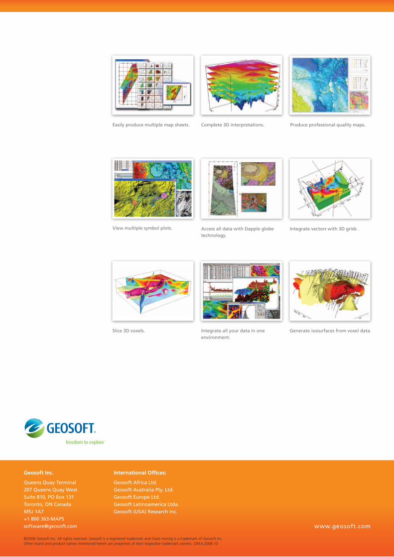
Easily produce multiple map sheets.
access all data with Dapple globe technology.
Complete 3D interpretations. Produce professional quality maps.
View multiple symbol plots. integrate vectors with 3D grids .
integrate all your data in one environment.
Generate isosurfaces from voxel data.Slice 3D voxels.
©2008GeosoftInc.Allrightsreserved.GeosoftisaregisteredtrademarkandOasismontajisatrademarkofGeosoftInc.Otherbrandandproductnamesmentionedhereinarepropertiesoftheirrespectivetrademarkowners.OM.b.2008.10
International Offices:
Geosoft africa Ltd. Geosoft australia Pty. Ltd.Geosoft Europe Ltd.Geosoft Latinoamerica Ltda.Geosoft (USa) research inc.
Geosoft Inc.
Queens Quay terminal207 Queens Quay westSuite 810, PO box 131toronto, On Canada M5J 1a7+1 800 [email protected] www.geosoft.com