Embed Size (px)
Citation preview
United States United States
Lesson #1 Lesson #1 GeographyGeography

United StatesUnited States
United States Map Quiz
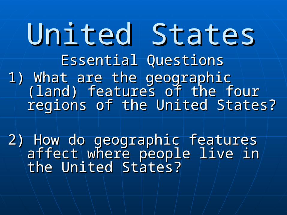
United StatesUnited StatesEssential QuestionsEssential Questions
1) What are the geographic (land) 1) What are the geographic (land) features of the four regions of the features of the four regions of the United States?United States?
2) How do geographic features affect 2) How do geographic features affect where people live in the United where people live in the United States?States?
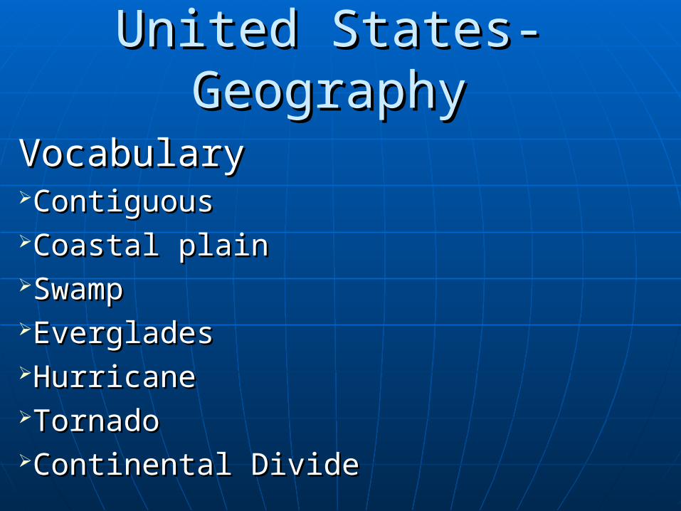
United States-GeographyUnited States-Geography
VocabularyVocabularyContiguousContiguousCoastal plainCoastal plainSwampSwampEvergladesEvergladesHurricaneHurricaneTornadoTornadoContinental DivideContinental Divide

Do Now 12-10-13
Have your vocabulary out to be checked!!!!
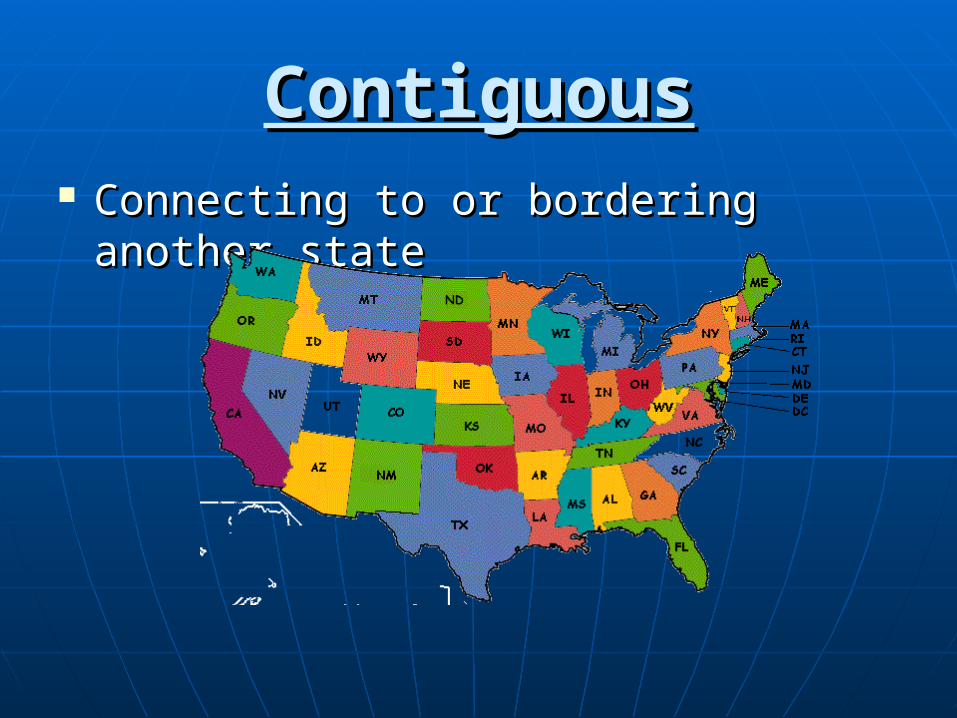
ContiguousContiguous Connecting to or bordering another Connecting to or bordering another
statestate
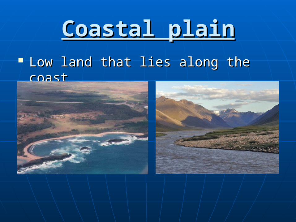
Coastal plainCoastal plain Low land that lies along the coastLow land that lies along the coast
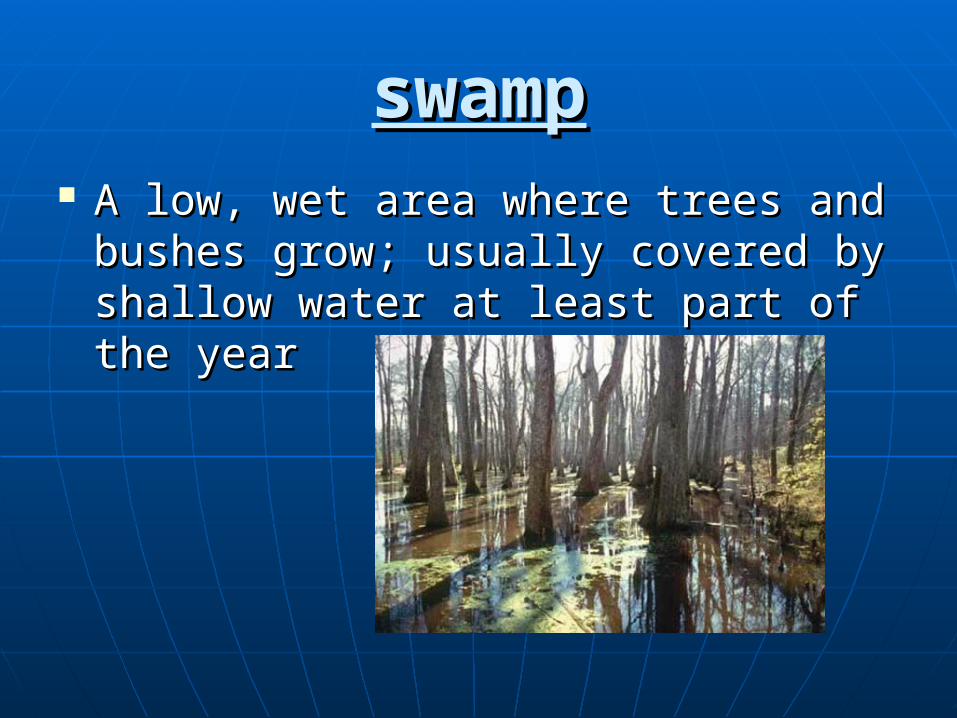
swampswamp A low, wet area where trees and A low, wet area where trees and
bushes grow; usually covered by bushes grow; usually covered by shallow water at least part of the shallow water at least part of the yearyear
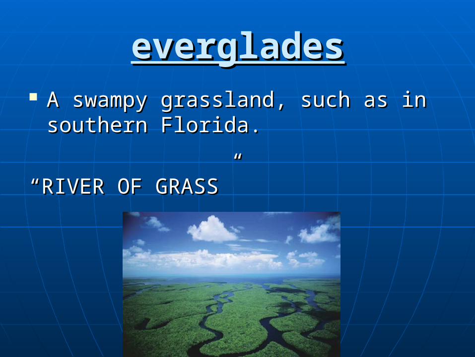
evergladeseverglades A swampy grassland, such as in A swampy grassland, such as in
southern Florida.southern Florida.
““RIVER OF GRASS”RIVER OF GRASS”
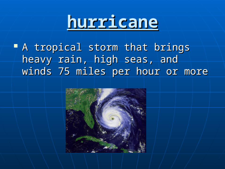
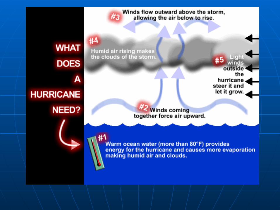
hurricanehurricane A tropical storm that brings heavy A tropical storm that brings heavy
rain, high seas, and winds 75 miles rain, high seas, and winds 75 miles per hour or moreper hour or more
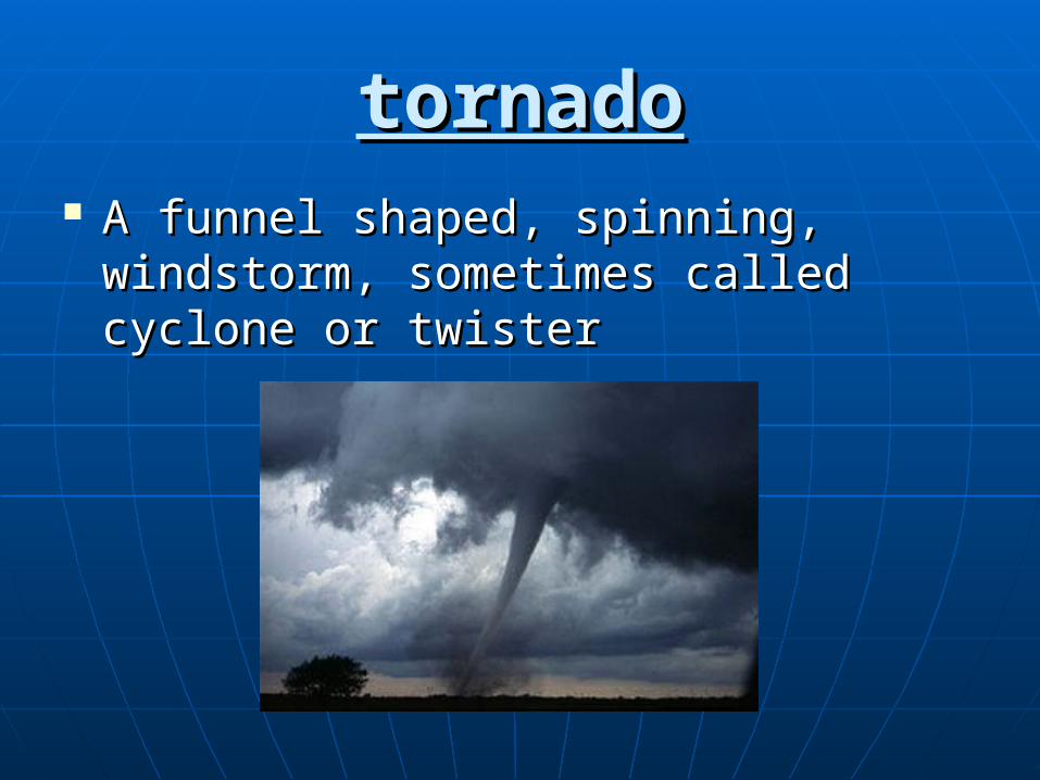
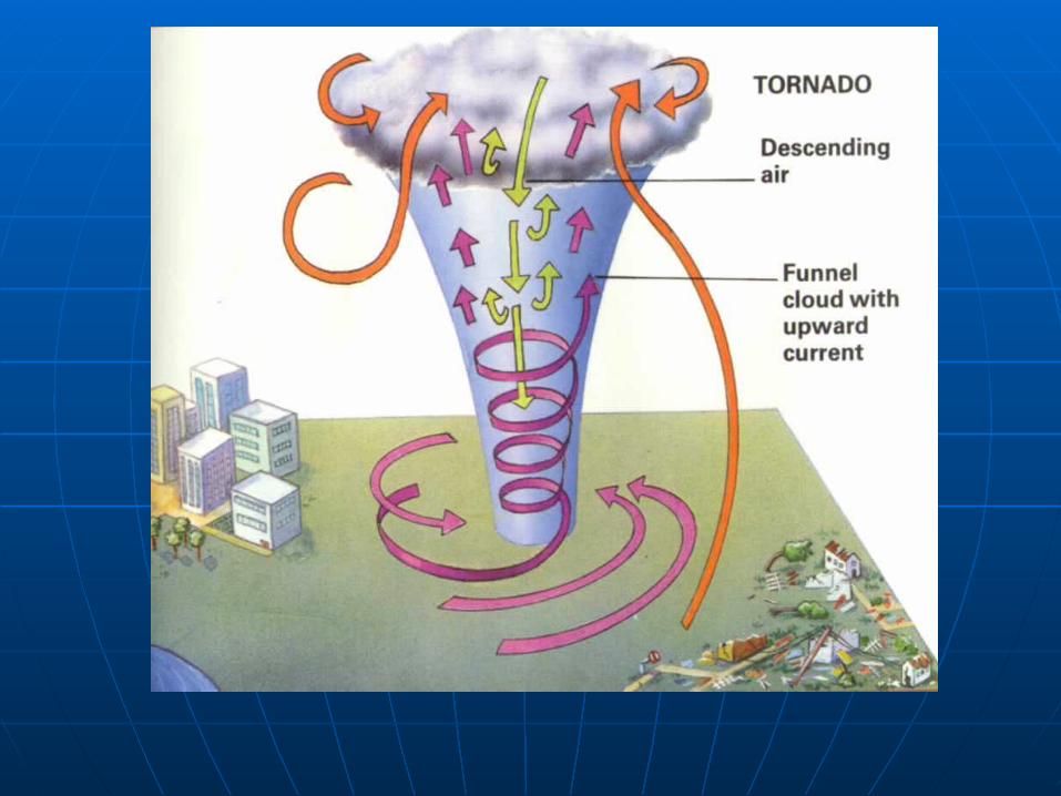
tornadotornado A funnel shaped, spinning, A funnel shaped, spinning,
windstorm, sometimes called cyclone windstorm, sometimes called cyclone or twisteror twister
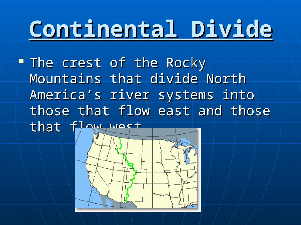
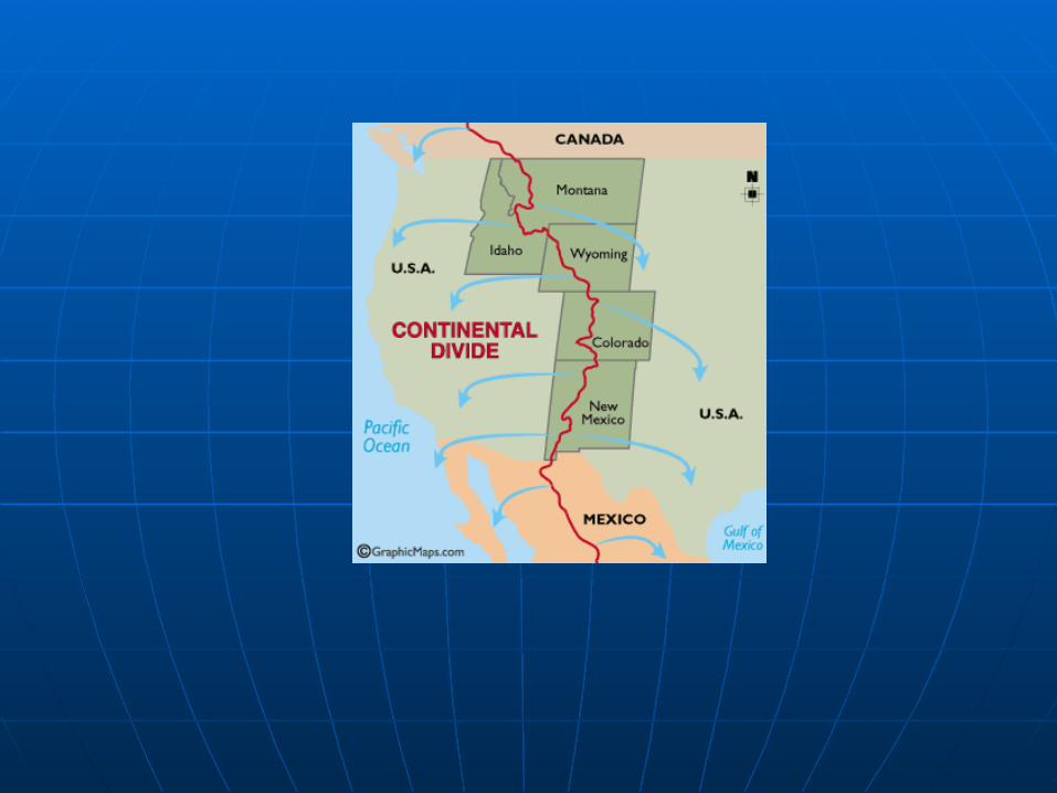
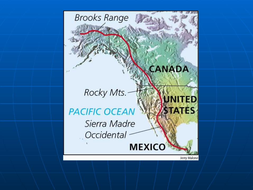
Continental DivideContinental Divide The crest of the Rocky Mountains The crest of the Rocky Mountains
that divide North America’s river that divide North America’s river systems into those that flow east and systems into those that flow east and those that flow west.those that flow west.
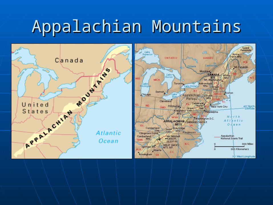
Appalachian MountainsAppalachian Mountains

Do Now- Do Now-
Take out your US packets, study your Take out your US packets, study your vocabulary.vocabulary.
United States- GeographyUnited States- Geography
Using the map on page A18-19 in Using the map on page A18-19 in your textbook or the Atlas at your your textbook or the Atlas at your table, label the states and their table, label the states and their capitals on your map.capitals on your map.
Color the 4 regions of the United Color the 4 regions of the United States on your map according to the States on your map according to the map keymap key
US- GeographyUS- Geography
Read along in your textbook as I play Read along in your textbook as I play the DVD.the DVD.
US- GeographyUS- Geography
Do Now 11-15-12Do Now 11-15-12
On the back of page one in your On the back of page one in your packet tell me why the northeast is packet tell me why the northeast is the most populated region in the US. the most populated region in the US. Give me at least two reasons.Give me at least two reasons.
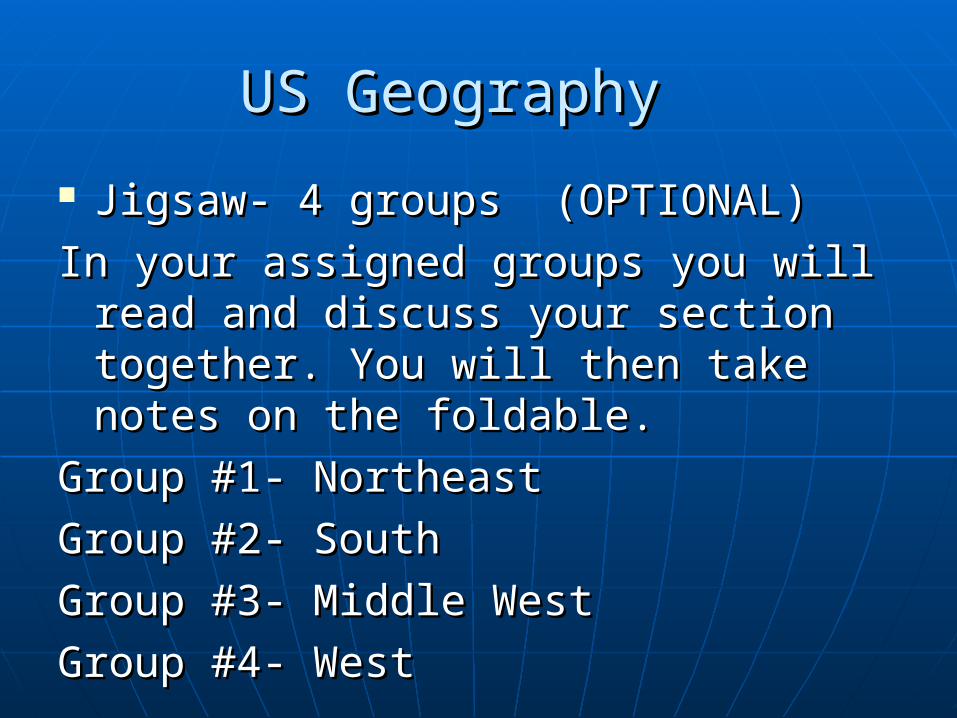
US GeographyUS Geography
Jigsaw- 4 groups (OPTIONAL)Jigsaw- 4 groups (OPTIONAL)
In your assigned groups you will read In your assigned groups you will read and discuss your section together. and discuss your section together. You will then take notes on the You will then take notes on the foldable.foldable.
Group #1- NortheastGroup #1- Northeast
Group #2- SouthGroup #2- South
Group #3- Middle WestGroup #3- Middle West
Group #4- WestGroup #4- West
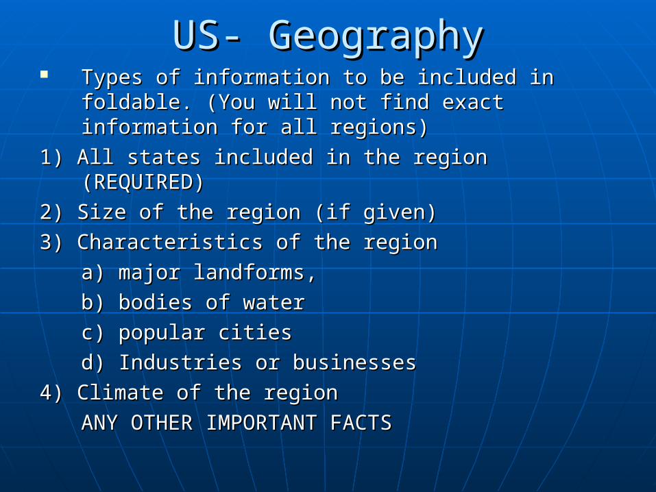
US- GeographyUS- Geography Types of information to be included in foldable. Types of information to be included in foldable.
(You will not find exact information for all (You will not find exact information for all regions) regions)
1) All states included in the region (REQUIRED)1) All states included in the region (REQUIRED)
2) Size of the region (if given)2) Size of the region (if given)
3) Characteristics of the region3) Characteristics of the region
a) major landforms, a) major landforms,
b) bodies of waterb) bodies of water
c) popular citiesc) popular cities
d) Industries or businessesd) Industries or businesses
4) Climate of the region4) Climate of the region
ANY OTHER IMPORTANT FACTSANY OTHER IMPORTANT FACTS
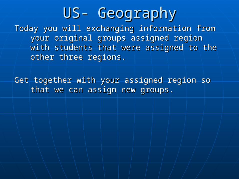
US- GeographyUS- GeographyToday you will exchanging information from your Today you will exchanging information from your
original groups assigned region with students original groups assigned region with students that were assigned to the other three regions.that were assigned to the other three regions.
Get together with your assigned region so that we Get together with your assigned region so that we can assign new groups.can assign new groups.
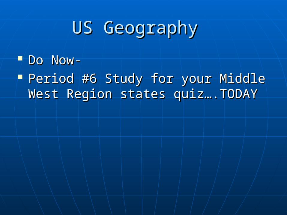
US GeographyUS Geography
Do Now- Do Now- Period #6 Study for your Middle West Period #6 Study for your Middle West
Region states quiz….TODAYRegion states quiz….TODAY

Do Now
Take out your foldable on the US Regions and be ready to start class on time!!!!
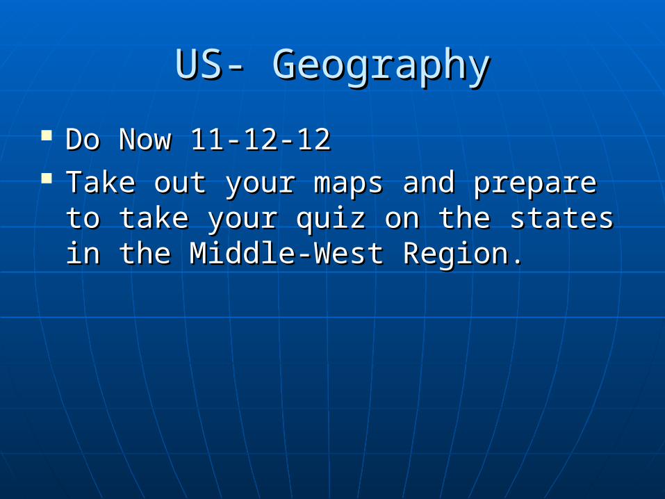
US- GeographyUS- Geography
Do Now 11-12-12Do Now 11-12-12 Take out your maps and prepare to Take out your maps and prepare to
take your quiz on the states in the take your quiz on the states in the Middle-West Region.Middle-West Region.
Northeast RegionNortheast Region Smallest in size but large in population.Smallest in size but large in population.
Nearly 60 million people live here. It has Nearly 60 million people live here. It has the largest population density (people the largest population density (people per square miles)per square miles)
Largest cities include New York, Largest cities include New York, Philadelphia and Boston. They are Philadelphia and Boston. They are important centers of manufacturing important centers of manufacturing and trade.and trade.
The Appalachian Mountains lay west of The Appalachian Mountains lay west of the coastline. More people live east of the coastline. More people live east of them than to the west.them than to the west.
South RegionSouth Region Two major landforms are Appalachian Two major landforms are Appalachian
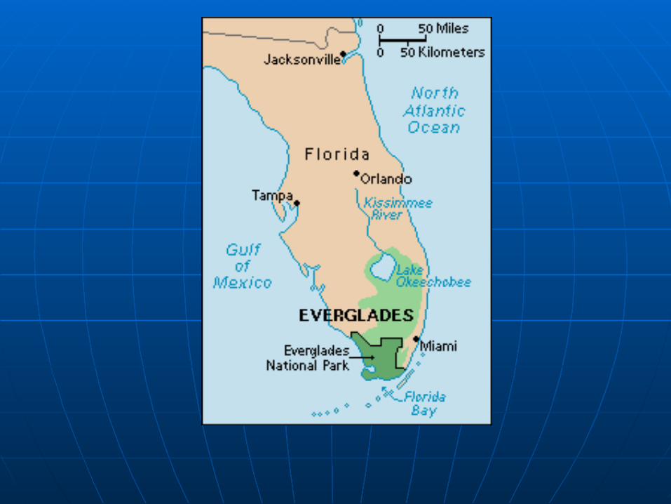
Mountains and Coastal Plains.Mountains and Coastal Plains. Contains some of the largest swamps Contains some of the largest swamps
such as the Florida Everglades (4,000 such as the Florida Everglades (4,000 sq. miles).sq. miles).
Some of the countries largest cities in Some of the countries largest cities in Texas: Dallas, Houston, and San Texas: Dallas, Houston, and San Antonio.Antonio.
Warm temperatures, long summers, Warm temperatures, long summers, and frequent rainfall make it great and frequent rainfall make it great agricultural region.agricultural region.
South Region- cont’d.South Region- cont’d. Cash crops, such as peanuts, cotton Cash crops, such as peanuts, cotton
and citrus fruits.and citrus fruits. Farmers raise hogs, chickens, beef and Farmers raise hogs, chickens, beef and
dairy cattle.dairy cattle. The warm climate and sandy beaches The warm climate and sandy beaches
help the south attract visitors.help the south attract visitors. During the months from June through During the months from June through
November, it is dangerous because of November, it is dangerous because of hurricanes that form along the coast. hurricanes that form along the coast.
The Middle WestThe Middle West The major areas are the Interior Plains The major areas are the Interior Plains
( Central Plains and the Great Plains)( Central Plains and the Great Plains) Central Plains begin in Ohio and run to Central Plains begin in Ohio and run to
the Mississippi River.the Mississippi River. The Great Plains run west of Mississippi.The Great Plains run west of Mississippi. The Great Plains are a tough place to live The Great Plains are a tough place to live
because of the extreme hot and cold because of the extreme hot and cold temperatures.temperatures.
Known as the “Heartland” of the US.Known as the “Heartland” of the US.
The Middle West- cont’d.The Middle West- cont’d. There is enough wheat produced here to There is enough wheat produced here to
meet the needs of the US and many meet the needs of the US and many other countries.other countries.
Tornado AreasTornado Areas Much of this area lies in the drainage Much of this area lies in the drainage
basin of the Mississippi River that isbasin of the Mississippi River that is
2,348 miles.2,348 miles. Great Lakes (five of the largest Great Lakes (five of the largest
freshwater lakes in the world)freshwater lakes in the world) Chicago, Detroit and Cleveland are the Chicago, Detroit and Cleveland are the
largest cities in the Middle West.largest cities in the Middle West.
The West RegionThe West Region Mountains are the most prominent Mountains are the most prominent
landforms in the West. The Rocky landforms in the West. The Rocky Mountains are the largest at 3,000 miles Mountains are the largest at 3,000 miles long from Mexico to Alaska.long from Mexico to Alaska.
The Grand Canyon in Arizona is a famous The Grand Canyon in Arizona is a famous landform carved out by the Colorado landform carved out by the Colorado River.River.
Death Valley is in the west and it is 282 Death Valley is in the west and it is 282 feet below sea level.feet below sea level.
The mild, rainy climate is perfect for The mild, rainy climate is perfect for growing some of the world’s largest growing some of the world’s largest treestrees
The West Region- cont’d.The West Region- cont’d. The West contains Alaska and Hawaii.The West contains Alaska and Hawaii. Alaska has the lowest population density Alaska has the lowest population density
of any state because it is a difficult place of any state because it is a difficult place to live.to live.

Guided NotesGuided Notes
With your 3 O’clock partner, With your 3 O’clock partner, complete “From Sea to Shining Sea”complete “From Sea to Shining Sea”
Guided Notes Answers
From Sea to Shining Sea 3.6 million square Touch Northeast, South, Mid-West, West
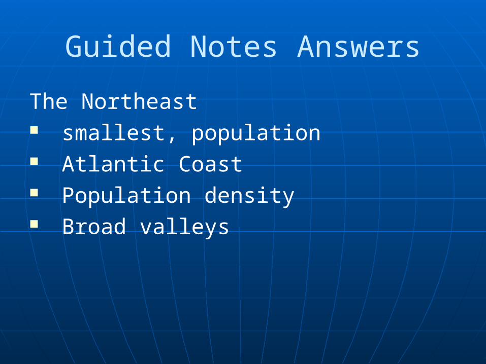
Guided Notes Answers
The Northeast smallest, population Atlantic Coast Population density Broad valleys
Guided Notes Answers
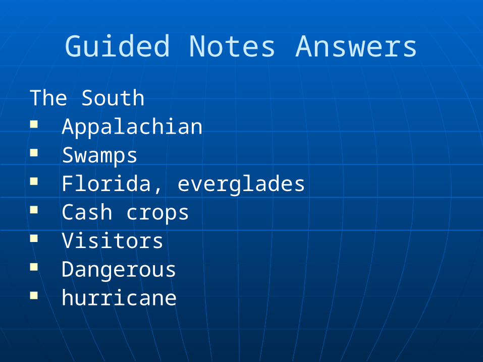
The South Appalachian Swamps Florida, everglades Cash crops Visitors Dangerous hurricane
Guided Notes Answers
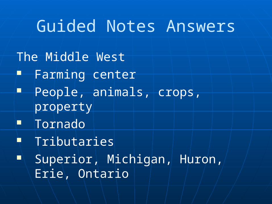
The Middle West Farming center People, animals, crops, property Tornado Tributaries Superior, Michigan, Huron, Erie,
Ontario
Guided Notes Answers
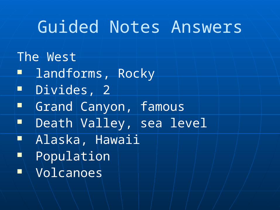
The West landforms, Rocky Divides, 2 Grand Canyon, famous Death Valley, sea level Alaska, Hawaii Population Volcanoes
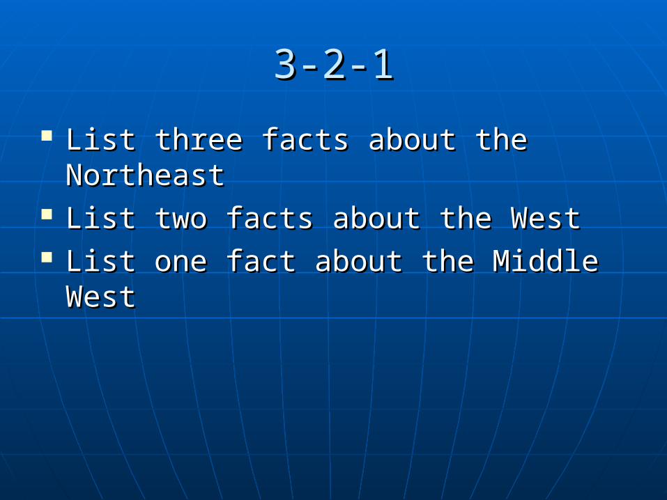
3-2-13-2-1
List three facts about the NortheastList three facts about the Northeast List two facts about the West List two facts about the West List one fact about the Middle WestList one fact about the Middle West
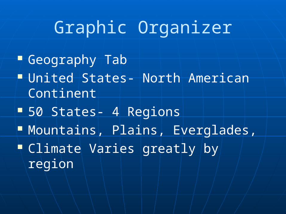
Graphic Organizer
Geography Tab United States- North American
Continent 50 States- 4 Regions Mountains, Plains, Everglades, Climate Varies greatly by region

Do Now- 11-19-12
Make sure that your name is on your packet to turn in.
I am going to give you a couple of minutes to review for the quiz today.
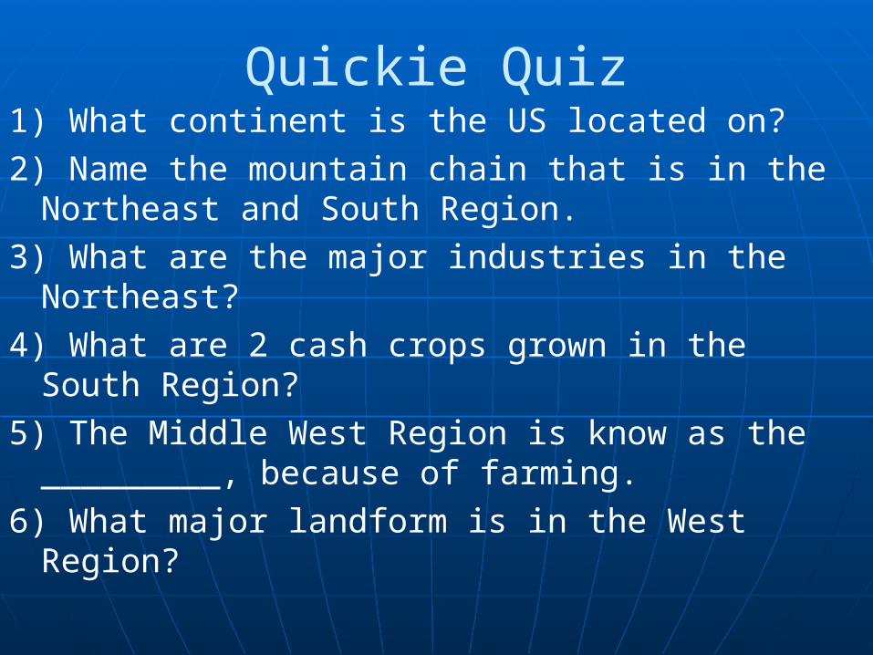
Quickie Quiz1) What continent is the US located on?2) Name the mountain chain that is in the
Northeast and South Region.3) What are the major industries in the
Northeast?4) What are 2 cash crops grown in the South
Region?5) The Middle West Region is know as the
_________, because of farming.6) What major landform is in the West Region?
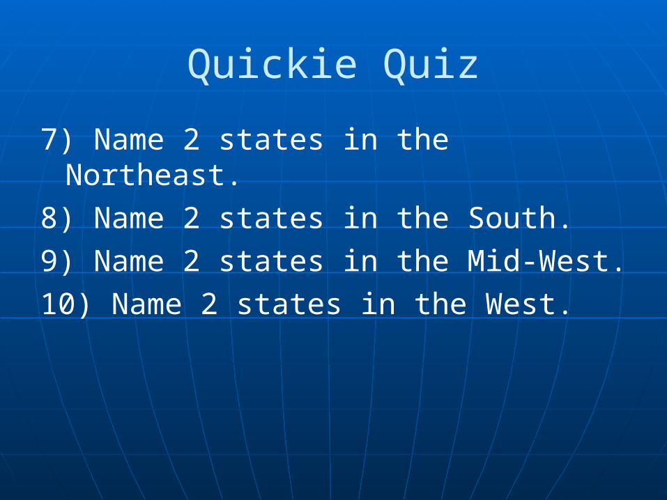
Quickie Quiz
7) Name 2 states in the Northeast.8) Name 2 states in the South.9) Name 2 states in the Mid-West.10) Name 2 states in the West.