Embed Size (px)
DESCRIPTION
A student from my class in New Zealand created this slideshow about the Waikato River.
Citation preview
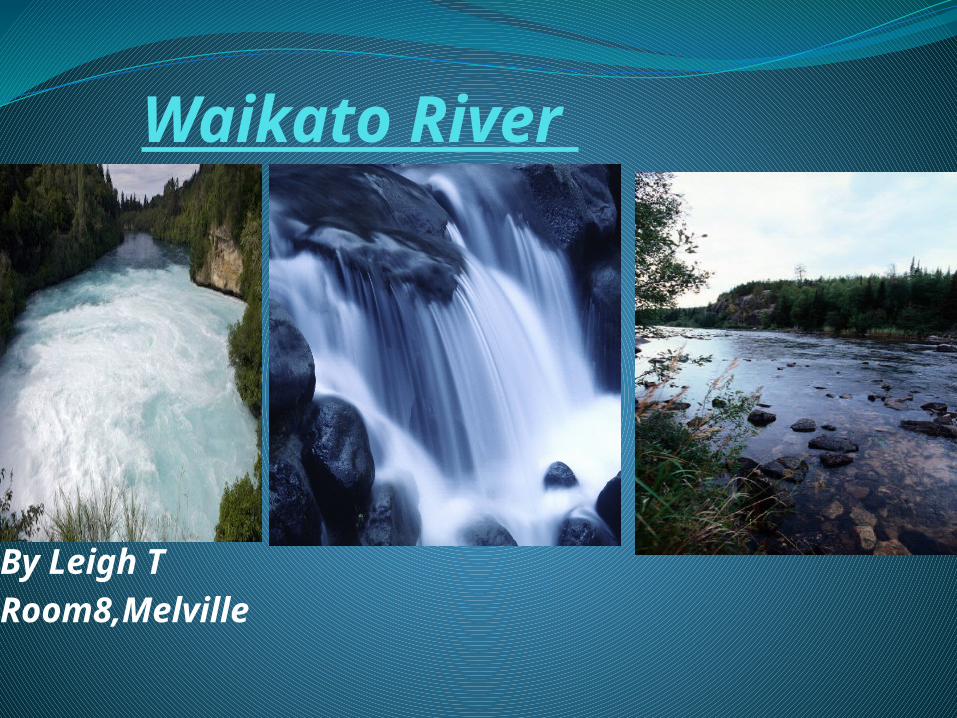
Waikato River
By Leigh TRoom8,Melville
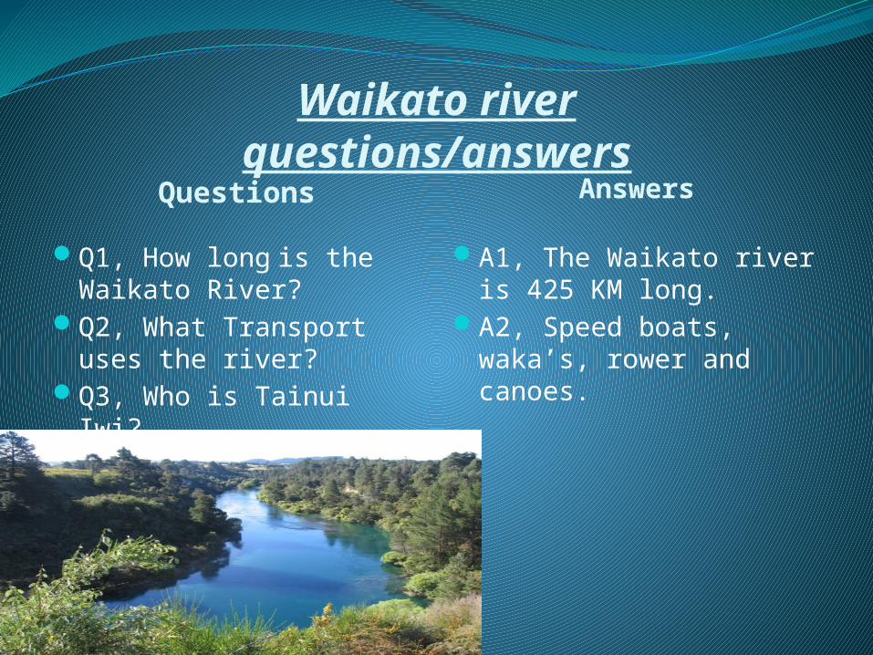
Waikato riverquestions/answers
Questions Answers
Q1, How long is the Waikato River?
Q2, What Transport uses the river?
Q3, Who is Tainui Iwi?
A1, The Waikato river is 425 KM long.
A2, Speed boats, waka’s, rower and canoes.
The Waikato river facts
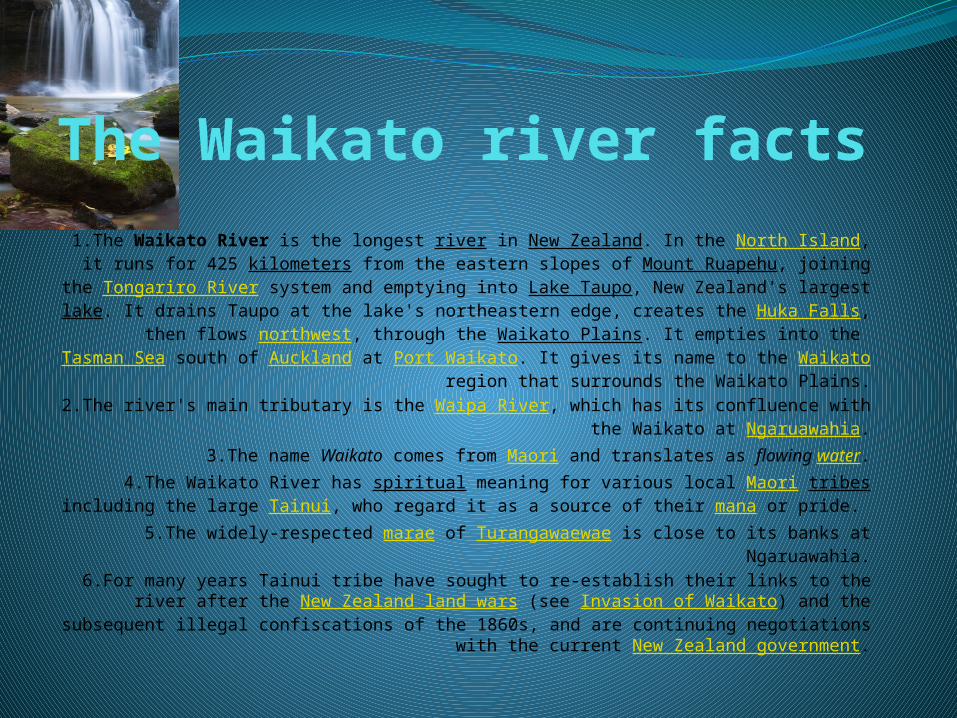
1.The Waikato River is the longest river in New Zealand. In the North Island, it runs for 425 kilometers from the eastern slopes of
Mount Ruapehu, joining the Tongariro River system and emptying into Lake Taupo, New Zealand's largest lake. It drains Taupo at the lake's
northeastern edge, creates the Huka Falls, then flows northwest, through the Waikato Plains. It empties into the Tasman Sea south of Auckland at
Port Waikato. It gives its name to the Waikato region that surrounds the Waikato Plains.
2.The river's main tributary is the Waipa River, which has its confluence with the Waikato at Ngaruawahia.
3.The name Waikato comes from Maori and translates as flowing water.4.The Waikato River has spiritual meaning for various local Maori tribes
including the large Tainui, who regard it as a source of their mana or pride. 5.The widely-respected marae of Turangawaewae is close to its banks at
Ngaruawahia.6.For many years Tainui tribe have sought to re-establish their links to the
river after the New Zealand land wars (see Invasion of Waikato) and the subsequent illegal confiscations of the 1860s, and are continuing
negotiations with the current New Zealand government.
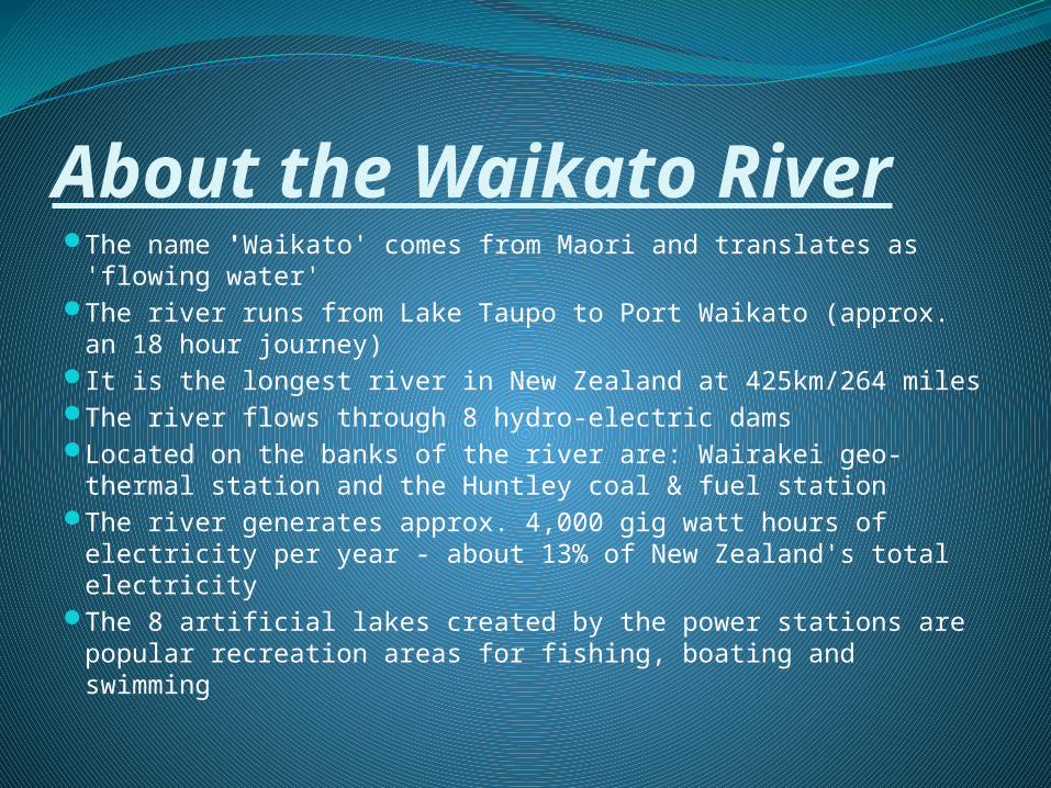
About the Waikato RiverThe name 'Waikato' comes from Maori and translates as
'flowing water' The river runs from Lake Taupo to Port Waikato (approx. an
18 hour journey) It is the longest river in New Zealand at 425km/264 miles The river flows through 8 hydro-electric dams Located on the banks of the river are: Wairakei geo-thermal
station and the Huntley coal & fuel station The river generates approx. 4,000 gig watt hours of
electricity per year - about 13% of New Zealand's total electricity
The 8 artificial lakes created by the power stations are popular recreation areas for fishing, boating and swimming
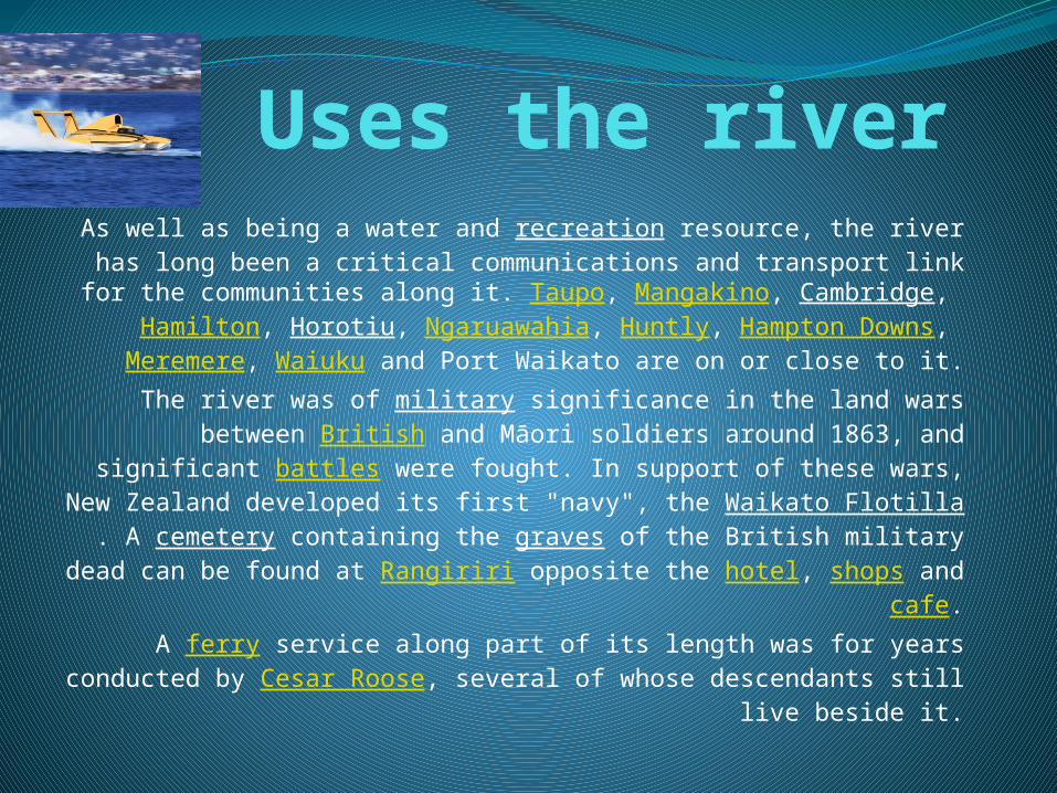
Uses the riverAs well as being a water and recreation resource, the river has long been a critical communications and transport link
for the communities along it. Taupo, Mangakino, Cambridge, Hamilton, Horotiu, Ngaruawahia, Huntly, Hampton Downs,
Meremere, Waiuku and Port Waikato are on or close to it.The river was of military significance in the land wars between British and Māori soldiers around 1863, and
significant battles were fought. In support of these wars, New Zealand developed its first "navy", the Waikato Flotilla.
A cemetery containing the graves of the British military dead can be found at Rangiriri opposite the hotel, shops and cafe.
A ferry service along part of its length was for years conducted by Cesar Roose, several of whose descendants
still live beside it.
CoursesThe river starts as many small streams on the eastern side of Mount Ruapehu. The
Mangatoetoenui Glacier (once called the Waikato glacier) is one of the principal sources. The southernmost tributary is called the Upper Waikato Stream. The Waipakihi River joins the Waikato
from the Kaimanawa Mountains to the west. At the point the river meets the Waihohonu Stream, it becomes called the Tongariro River. The Pouto River joins from Lake Rotoaira to the east. The
Tongariro flows northward, with State Highway 1 in parallel, through the town of Turangi, and into the southern side of Lake Taupo. Extensive engineering of lakes, tunnels and canals are used to
generate hydroelectric power in the Tongariro Power Scheme.[5]
At the northeast point of Lake Taupo is Tapuaeharuru Bay and the town of Taupo. The Waikato River leaves the lake and flows northeast past the town, alongside State Highway 1, to the
Huka Falls. State Highway 5 runs more or less parallel to the river as it flows further northeast. About 40 km from the lake, the river flows west and into the southern end of Lake Ohakuri. It exits
from the northwest end of that lake and flows west through the small Lake Atiamuri and into the long east-west oriented Lake Whakamaru, with State Highway 30 following its course. It passes
northwest through Lake Maraetai and Lake Waipapa, where it is joined by the Waipapa River, then north through Lake Arapuni and into Lake Karapiro. Pokaiwhenua Stream joins the river in Lake
Karapiro. Nine hydroelectric power stations at eight dams extract energy from the river between Taupo and Karapiro. All the lakes in this stretch of the river (apart from Lake Taupo) are artificial.[8]
Northwest of Lake Karapiro, the river forms the Waikato Basin,[9] flowing through the towns of Cambridge, Hamilton, and Ngaruawahia. It is joined by its largest tributary, the Waipa River, at
Ngaruawahia. It then flows north through the Taupiri Gorge[10] to enter the lower Waikato region.[11] Further north is Huntly and then Meremere, where the Whangamarino and Maramarua Rivers join it. From Mercer, where the Mangatawhiri River joins it, the Waikato flows west and southwest. Just
before its mouth at Port Waikato, the Araroa River joins from the north.

Key Statistics Summary
New Zealand Population : 3,737,280
South Waikato District: 23,472
Land Area: 182,000 ha
Land Value: $1,044 million
Number of properties: 9,546
Capital Value: $2,215 million
Source: 2001 Census

Main Industries
Forestry and pastoral farming, particularly dairying, are the predominant activities in the District. Around a fifth of the workforce is employed in forestry and agriculture. Another 28% of the workforce is employed in manufacturing, associated with these industries.
Natural Resources
Approximately half of the District is covered by forests. There are also hydro-lakes and many streams in the District. The southern and western boundaries of the District are bounded by the Waikato River.
Dairying not people to blame for Waikato River pollutionGreen Agriculture Spokesperson Ian Ewen-Street MP today
said suggestions from Federated Farmers that the city of Hamilton was more responsible for the pollution of the Waikato River than the area's dairy farms were wrong.
Following calls from Mr. Ewan-Street yesterday for dairy farmers to hurry up and clean up their farming practices, Federated Farmers President Alistair Polson defended the dairy industry, saying '[Mr. Ewan-Street] should know the Waikato shows the most degradation down stream from the city of Hamilton'.
"The implication that the city of Hamilton and it's people are responsible for the high levels of pollution in the Waikato River has been proven to be wrong," said Mr. Ewan-Street.
Dairying not people to blame for Waikato River pollution In September 1998 then Environment Minister Simon Upton
released a study which found that farm run-off was a key source of contamination of the Waikato River.
The study found that a quarter of the bacterial load in the Waikato River was attributed to industry, sewerage and effluent from dairy farm treatment, but that 75 per cent appeared to come from paddock run-off.
"Simon Upton said back in 1998 what I am urging farmers to do now - fence their streams and rivers to keep stock out. Instead of reiterating the issues I wish Federated Farmers would encourage farmers to do the right thing," said Mr. Ewan-Street.
Dairying not people to blame for Waikato River pollution "Instead we have Charlie Pederson from Federated Farmers' National Dairy Association denying
that dairy pollution exists and saying that efforts to get farmers to clean up their act is 'a thinly veiled threat of environmental terrorism'.“
A national survey in 1998 showed that on 80 per cent of livestock farms, animals have free access to streams and small rivers. Scientists back then warned that the pollution of the Waikato River from intensive livestock farming was likely to be repeated in other water catchments throughout the country.
"Quite clearly this prediction was spot on," he said.
"I am not denying that the city of Hamilton has some impact on the quality of water in the Waikato River.
"However, the evidence is clear that 75 per cent of the bacterial contamination of this river appears to come from paddock run off. The 1998 survey showed categorically that dairying was by far the biggest contributor to the unacceptable pollution of the Waikato River," said Mr. Ewan-Street.
"Unfortunately this problem has spread to many other areas of New Zealand and it has to be stopped. These are the facts of the matter."

Thanks for Watching
By LeighRoom8,Melville
http://www.youtube.com/watch?v=Sw2hZy1wn-4
Waikato river pictures