Embed Size (px)
Citation preview
THE PHILIPPINE ARCHIPELAGO
Location of the Philippines in relation to continents and oceans using a coordinate
system
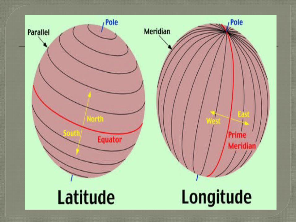
Lines of latitude and longitude are invisible lines that divide the earth. We use this line so we can locate countries, cities, and land marks quickly and accurately.
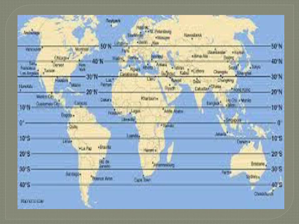
TERMINOLOGIES1. Latitude – an imaginary line around
the Earth parallel to the equator. Often referred to as the parallels of latitude. This is because latitude are lines that run parallel to the equator. They are flat line in the globe or map. It looks like a ladder.
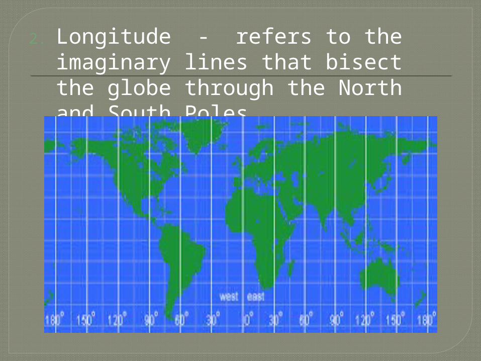
2. Longitude - refers to the imaginary lines that bisect the globe through the North and South Poles.
3. Equator – located at the center of the earth and is the line that separates the Northern hemisphere and Southern hemisphere.
4. Prime Meridian - The prime meridian is the planet’s line of zero degrees longitude. Slicing the earth along the circle of the prime meridian would divide it into the Eastern and Western hemispheres
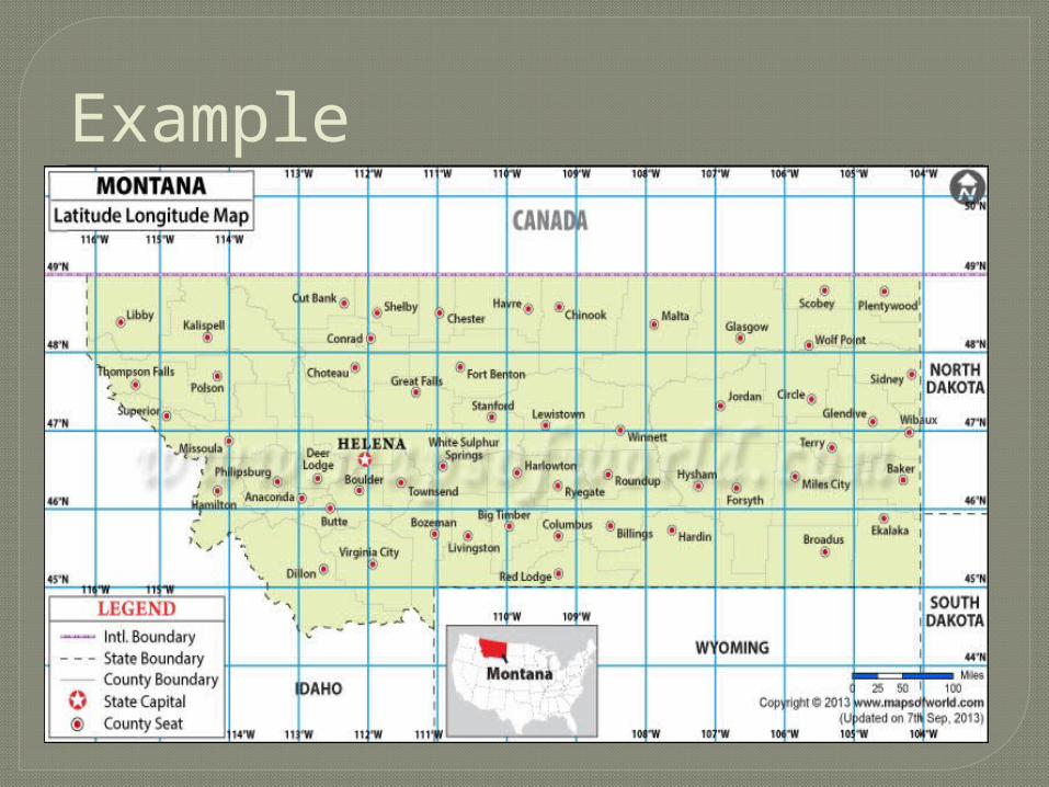
Example
Find the Latitude of the following City1. Winnett 47˚N2. Big Timber 45.9˚N3. Ekalaka 46˚N Find the Longitude of the following City1. Chester 111˚W2. Conrad 112˚W3. Libby 115.7˚W Find the Latitude and Longitude of the
following City1. Cut Bank 48.8˚N, 112.4˚W2. Butte 46˚N, 112.6˚W
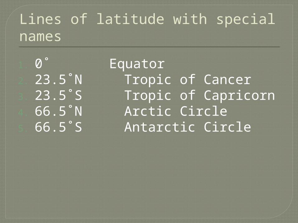
Lines of latitude with special names
1. 0˚ Equator2. 23.5˚N Tropic of Cancer3. 23.5˚S Tropic of Capricorn4. 66.5˚N Arctic Circle5. 66.5˚S Antarctic Circle
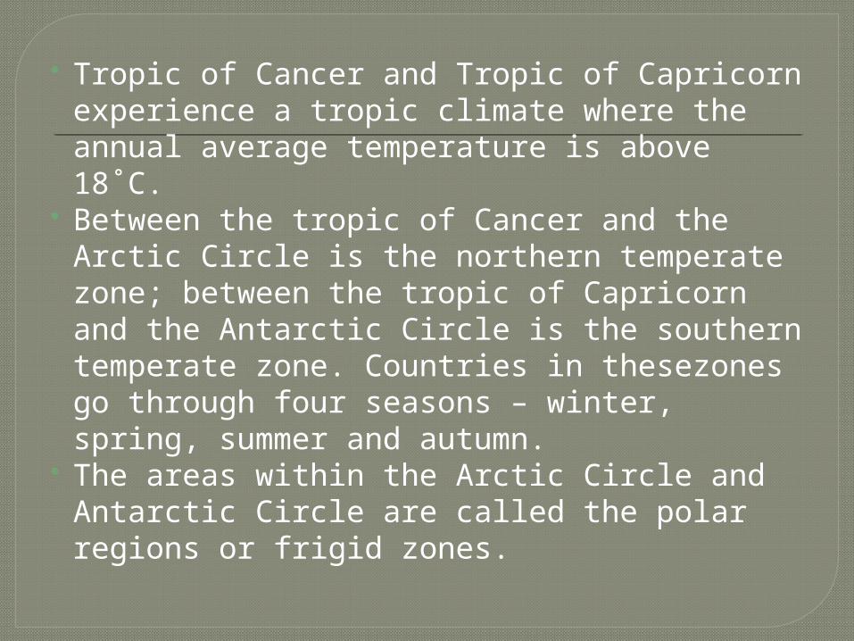
Tropic of Cancer and Tropic of Capricorn experience a tropic climate where the annual average temperature is above 18˚C.
Between the tropic of Cancer and the Arctic Circle is the northern temperate zone; between the tropic of Capricorn and the Antarctic Circle is the southern temperate zone. Countries in thesezones go through four seasons – winter, spring, summer and autumn.
The areas within the Arctic Circle and Antarctic Circle are called the polar regions or frigid zones.
Exercises Find the latitude of the following1. Legaspi City2. Masbate3. Puerto Princessa City4. Butuan City5. Manila Find the longitude of the following1. Legaspi City2. Masbate3. Puerto Princessa City4. Butuan City5. Manila Find the latitude and longitude1. Virac2. Romblon3. Kalibo
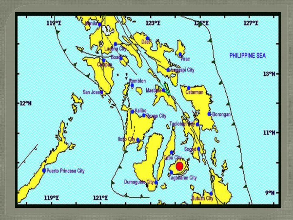
Find the latitude of the following1. Legaspi City 13˚W2. Masbate 12.5˚W3. Puerto Princessa City 9.8˚W4. Butuan City 9˚W5. Manila 14.8˚W Find the longitude of the following1. Legaspi City 123.6˚E2. Masbate 123.4˚E3. Puerto Princessa City 118.8˚E4. Butuan City 125.5˚E5. Manila 120.9˚E Find the latitude and longitude1. Virac 13.7˚W, 124.2˚E2. Romblon 12.5˚W, 122.2˚E3. Kalibo 11.8˚W, 122.1˚E
Answer
Assignment Bring the following:1. Bond papers (5pcs.) short2. Ruler3. Pencil4. World Map5. Module(Science Learner’s Material)