Embed Size (px)
Citation preview
Survey Services
- Topographic mapping services- Preliminary route surveying- Underground utility mapping- Final alignment construction staking- Oil and gas well staking and well location certi�cations- Boundary research and retracement- Legal description creation- ROW and easement creation- Section breakdown- As-built surveying and mapping- Use by Special Review full submittal packages and approval process management- Subdivision, subdivision exemption and recorded exemption platting- Federal, state and county road crossing exhibits and permitting- Railroad, utility, canal and ditch crossing exhibits and permitting- Surveying and mapping support for archeological, biological and wetland areas- Site surveys- Underground pipeline locating
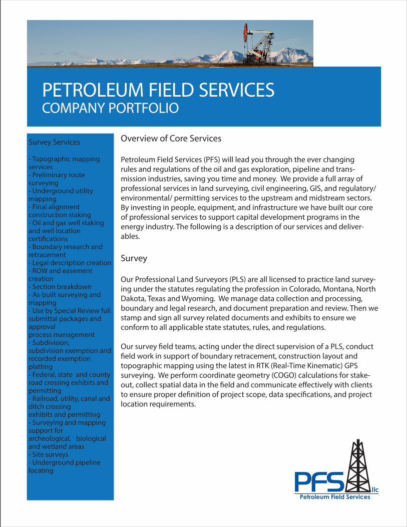
PETROLEUM FIELD SERVICESCOMPANY PORTFOLIO
Overview of Core Services
Petroleum Field Services (PFS) will lead you through the ever changingrules and regulations of the oil and gas exploration, pipeline and trans-mission industries, saving you time and money. We provide a full array of professional services in land surveying, civil engineering, GIS, and regulatory/ environmental/ permitting services to the upstream and midstream sectors. By investing in people, equipment, and infrastructure we have built our core of professional services to support capital development programs in the energy industry. The following is a description of our services and deliver-ables.
Survey
Our Professional Land Surveyors (PLS) are all licensed to practice land survey-ing under the statutes regulating the profession in Colorado, Montana, North Dakota, Texas and Wyoming. We manage data collection and processing, boundary and legal research, and document preparation and review. Then we stamp and sign all survey related documents and exhibits to ensure we conform to all applicable state statutes, rules, and regulations.
Our survey �eld teams, acting under the direct supervision of a PLS, conduct �eld work in support of boundary retracement, construction layout and topographic mapping using the latest in RTK (Real-Time Kinematic) GPS surveying. We perform coordinate geometry (COGO) calculations for stake-out, collect spatial data in the �eld and communicate e�ectively with clients to ensure proper de�nition of project scope, data speci�cations, and project location requirements.
Petroleum Field Services
PETROLEUM FIELD SERVICESCOMPANY PORTFOLIO
Civil Engineering
Our civil engineering team provides comprehensive upstream and midstream services from planning and design to �nal construction. We have earned a reputation for delivering excellent quality engineering design and management. As project leaders, we communicate and interact with our clients, contractors, consultants, county/city engineers, and the public throughout multiple phases of a project. Our professional engineers are licensed in Colorado, Montana, Nebraska, North Dakota and Wyoming.
Our engineering and design technicians strive for technical excellence in the production of survey and engineering design plans and drawings. We are pro�cient in AutoCAD Civil 3D, Carlson Survey and Skyline alignment sheet software.
Engineering Services
- Oil and gas permitting package- Grading and drainage design- Grading, erosion and sediment control (GESC)- Flood plain and �ood hazard development permits- Stormwater management planning and inspection (SWMP)- SPCC manuals- Roadway design- Infrastructure master plan- Utility design- Facilities design- Use by Special Review permitting- Alignment engineering- Pipeline preliminary design, construction and as-built sheets- Pipeline inspection- Program and project management- National Pollutant Discharge Elimination System
Petroleum Field Services
GIS
Geographic Information Systems (GIS), is designed to collect, store, manipulate, analyze, manage and present geographical data. We manage all GPS and survey data related to upstream and midstream assets for our clients. We use a variety of data sources including survey, engineering created in CAD, local and federal government, aerial imagery and other data sources to customize proj-ects per our client speci�cations. Using our GIS skills we help clients success-fully plan wells, facilities, and pipeline locations, while navigating through various topographic, environmental, and regulatory challenges associated with them.
We manage and develop the Petroleum Asset Manager (PAM) system. PAM is available exclusively through PFS and can be customized to support the needs of your oil and gas operations. We created PAM to streamline our tools to �t our clients’ needs using the newest version of ArcGIS for Flex. ArcGIS for Flex is an API (Application Programming Interface) that uses Java to create custom web mapping applications. ESRI software is used to connect data from the GIS techs into PAM. With PAM you can plan drilling programs and manage existing oil and gas assets within a map-like environment. The system is loaded with data regularly collected from local, state, and federal resources to help clients make informed decisions on their well location placement.
PAM allows GIS Data and tools traditionally only available to GIS sta� and engineers to be accessible by the entire company. Our GIS department works with our clients to customize the PAM websites.
GIS Services
- Data collection and management- Data base creation and support- Custom map creation- Exhibit creation for local, state and federal oil and gas permitting- GPS mapping- GIS hosting- PAM website design- Oil and gas location analysis and site assessment
PETROLEUM FIELD SERVICESCOMPANY PORTFOLIO
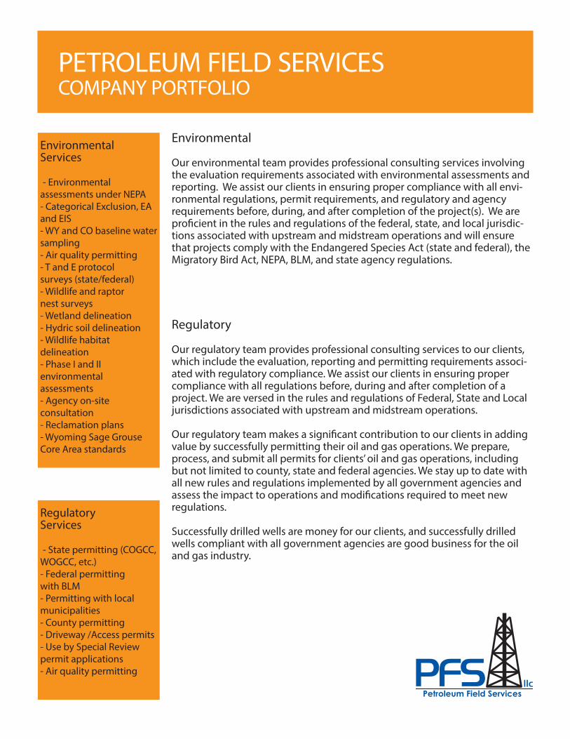
EnvironmentalServices
- Environmental assessments under NEPA- Categorical Exclusion, EA and EIS- WY and CO baseline water sampling- Air quality permitting- T and E protocol surveys (state/federal)- Wildlife and raptor nest surveys- Wetland delineation- Hydric soil delineation- Wildlife habitat delineation- Phase I and II environmental assessments- Agency on-site consultation- Reclamation plans- Wyoming Sage Grouse Core Area standards
Environmental
Our environmental team provides professional consulting services involving the evaluation requirements associated with environmental assessments and reporting. We assist our clients in ensuring proper compliance with all envi-ronmental regulations, permit requirements, and regulatory and agency requirements before, during, and after completion of the project(s). We are pro�cient in the rules and regulations of the federal, state, and local jurisdic-tions associated with upstream and midstream operations and will ensure that projects comply with the Endangered Species Act (state and federal), the Migratory Bird Act, NEPA, BLM, and state agency regulations.
Petroleum Field Services
Regulatory
Our regulatory team provides professional consulting services to our clients, which include the evaluation, reporting and permitting requirements associ-ated with regulatory compliance. We assist our clients in ensuring proper compliance with all regulations before, during and after completion of a project. We are versed in the rules and regulations of Federal, State and Local jurisdictions associated with upstream and midstream operations.
Our regulatory team makes a signi�cant contribution to our clients in adding value by successfully permitting their oil and gas operations. We prepare, process, and submit all permits for clients’ oil and gas operations, including but not limited to county, state and federal agencies. We stay up to date with all new rules and regulations implemented by all government agencies and assess the impact to operations and modi�cations required to meet new regulations.
Successfully drilled wells are money for our clients, and successfully drilled wells compliant with all government agencies are good business for the oil and gas industry.
RegulatoryServices
- State permitting (COGCC, WOGCC, etc.)- Federal permitting with BLM- Permitting with local municipalities- County permitting- Driveway /Access permits- Use by Special Review permit applications- Air quality permitting