Embed Size (px)
Citation preview
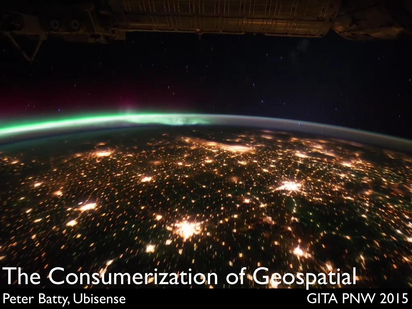
GITA PNW 2015Peter Batty, UbisenseThe Consumerization of Geospatial

Video footage from NASAEditing by Michael König
vimeo.com/32001208
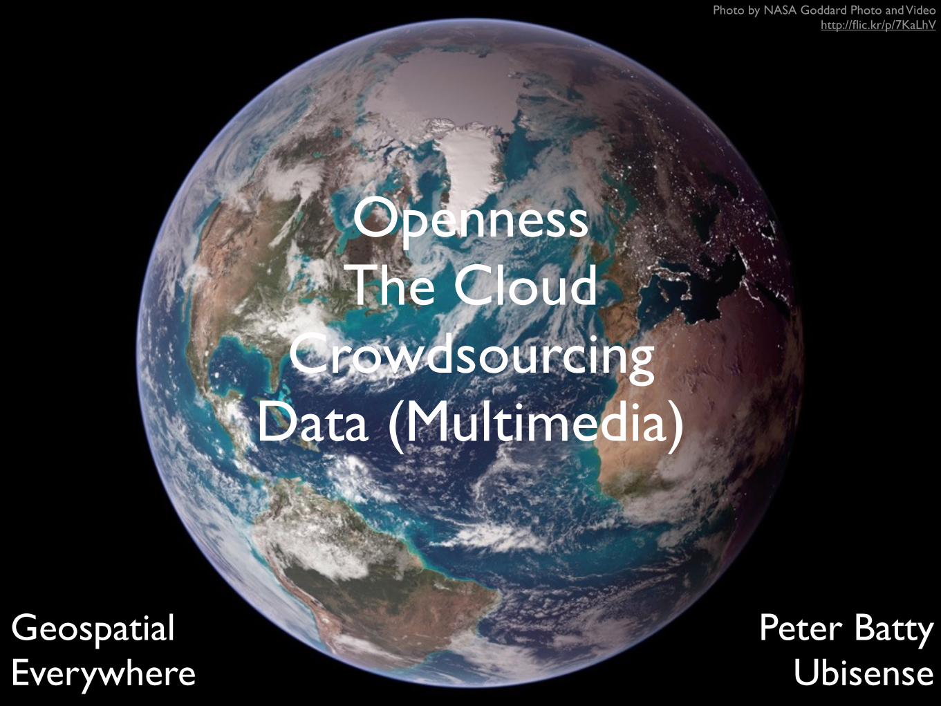
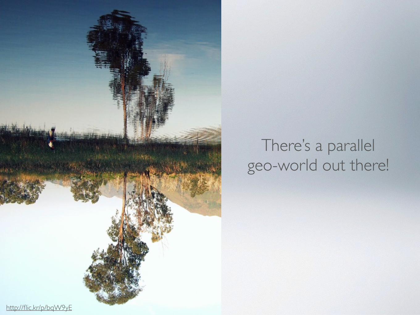
Geospatial Everywhere
Peter Batty Ubisense
Photo by NASA Goddard Photo and Video http://flic.kr/p/7KaLhV
OpennessThe Cloud
CrowdsourcingData (Multimedia)
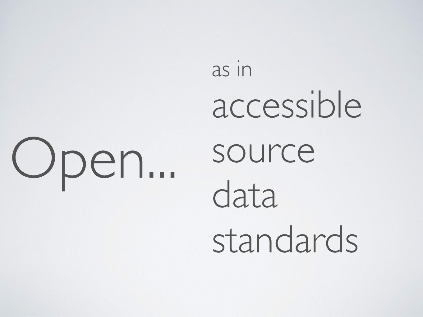
Open... sourcedatastandards
as in
accessible

OPEN AS IN ACCESSIBLE
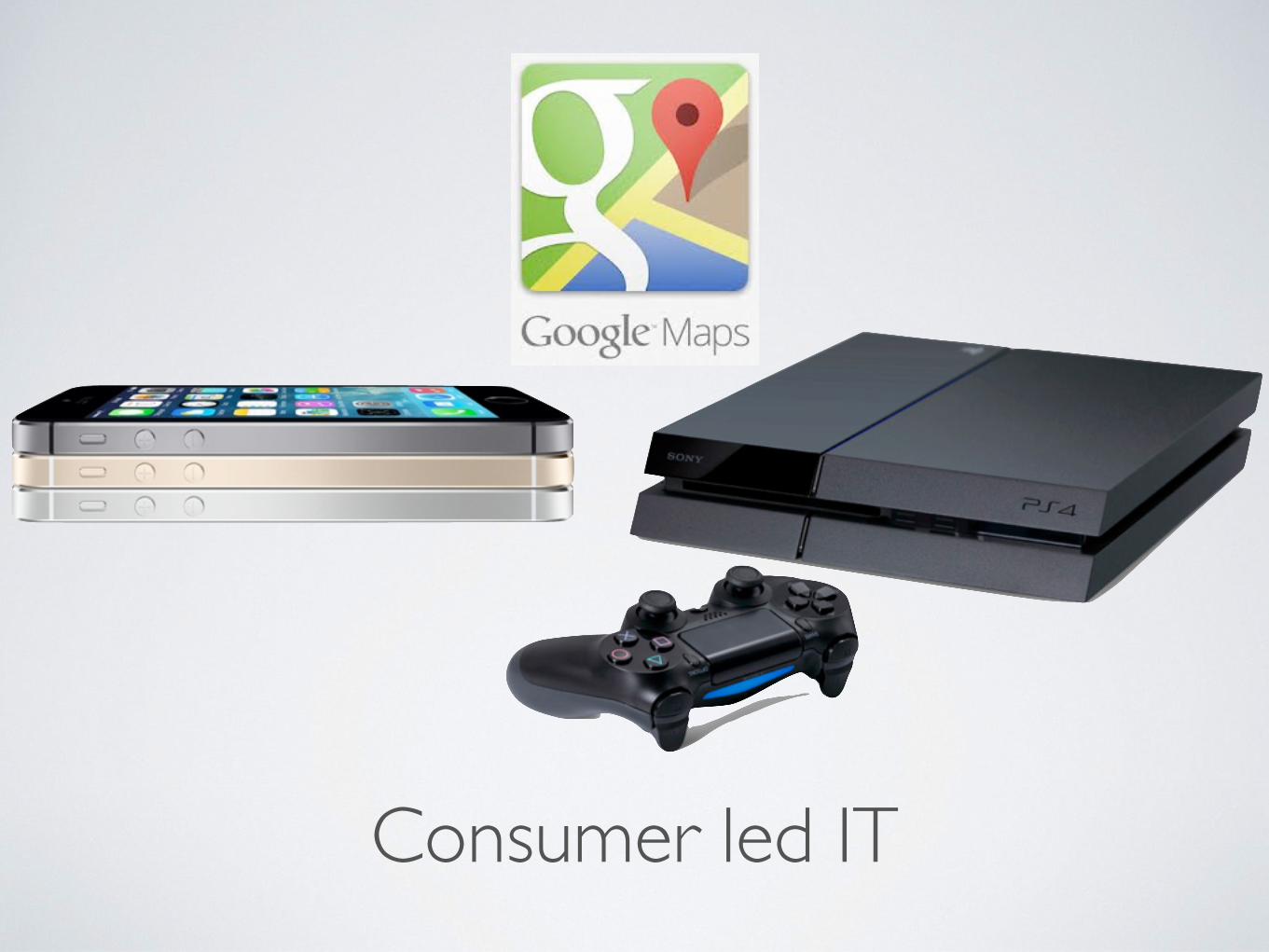
Consumer led IT
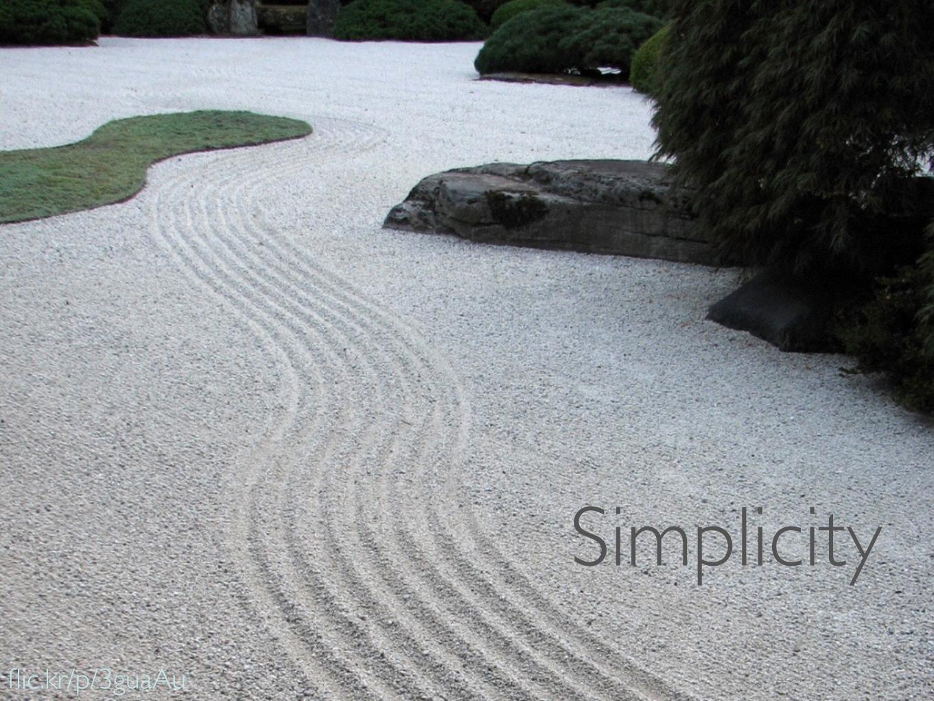
Usability / simplicity
flic.kr/p/3guaAu
Simplicity
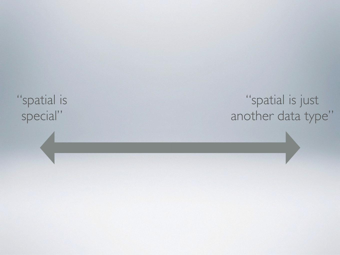
“spatial is special”
“spatial is just another data type”
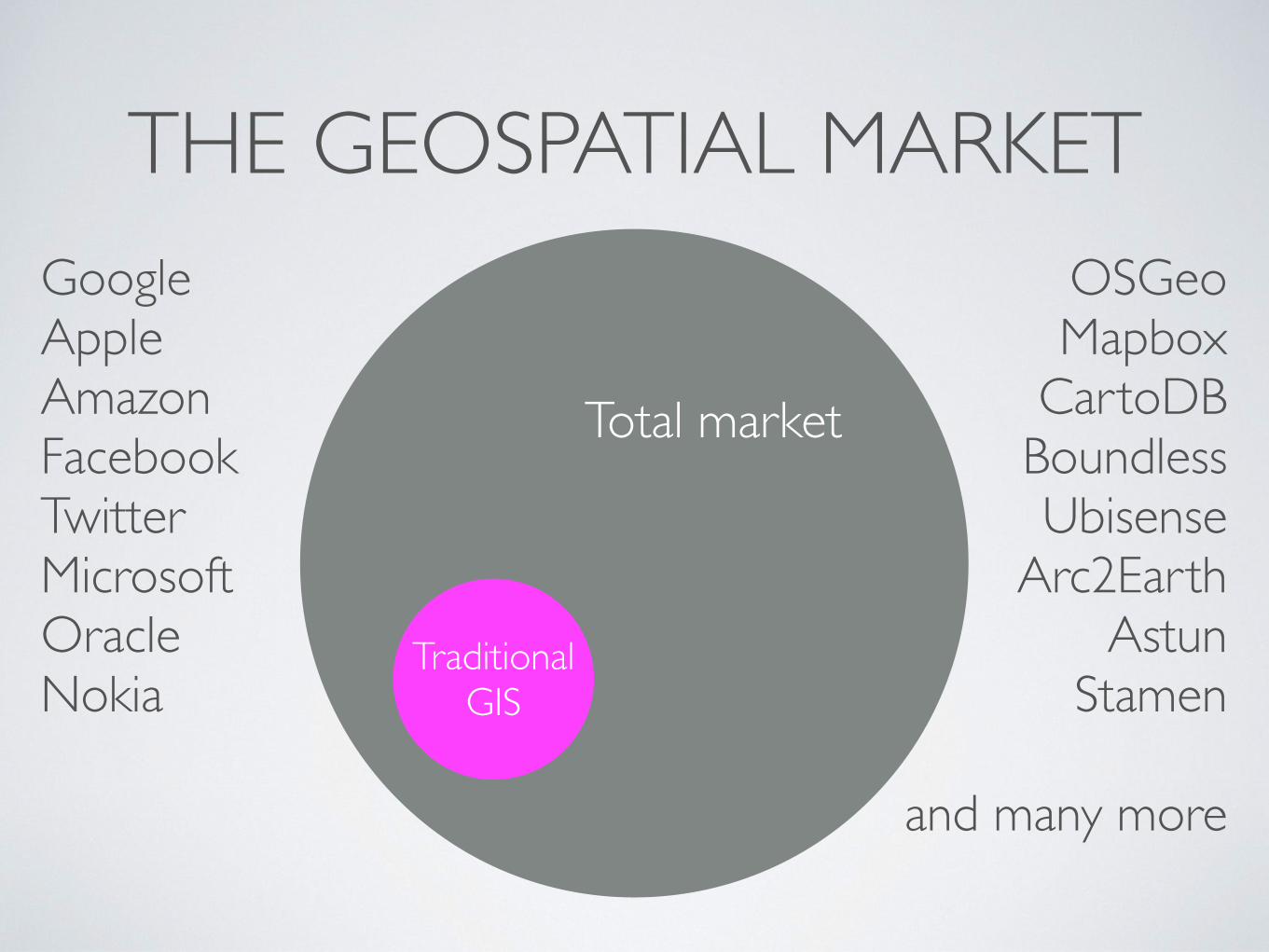
THE GEOSPATIAL MARKET
Traditional GIS
Total market
GoogleAppleAmazonFacebookTwitterMicrosoftOracleNokia
OSGeoMapbox
CartoDBBoundlessUbisense
Arc2EarthAstun
Stamen
and many more

OPEN SOURCE
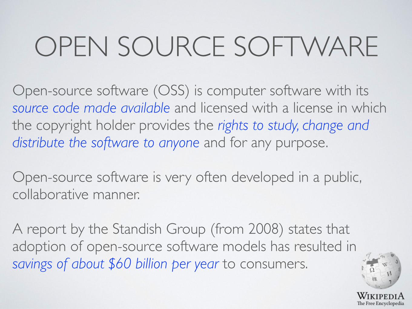
OPEN SOURCE SOFTWAREOpen-source software (OSS) is computer software with its source code made available and licensed with a license in which the copyright holder provides the rights to study, change and distribute the software to anyone and for any purpose.
Open-source software is very often developed in a public, collaborative manner.
A report by the Standish Group (from 2008) states that adoption of open-source software models has resulted in savings of about $60 billion per year to consumers.
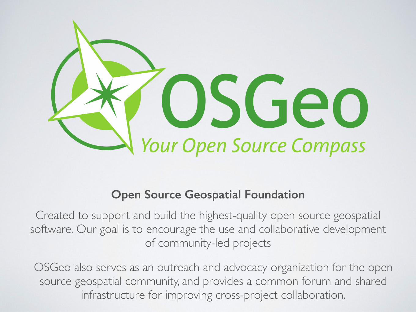
Created to support and build the highest-quality open source geospatial software. Our goal is to encourage the use and collaborative development
of community-led projects
OSGeo also serves as an outreach and advocacy organization for the open source geospatial community, and provides a common forum and shared
infrastructure for improving cross-project collaboration.
Open Source Geospatial Foundation
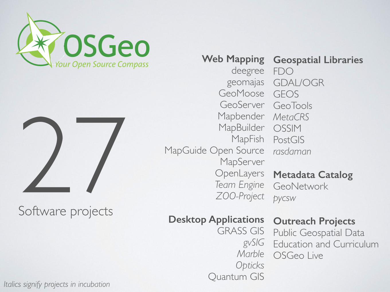
Web Mapping deegree
geomajasGeoMooseGeoServerMapbenderMapBuilder
MapFishMapGuide Open Source
MapServerOpenLayersTeam EngineZOO-Project
Desktop Applications GRASS GIS
gvSIGMarbleOpticks
Quantum GIS
Geospatial Libraries FDOGDAL/OGRGEOSGeoToolsMetaCRSOSSIMPostGISrasdaman
Metadata Catalog GeoNetworkpycsw
Outreach Projects Public Geospatial DataEducation and CurriculumOSGeo Live
Italics signify projects in incubation
Software projects27
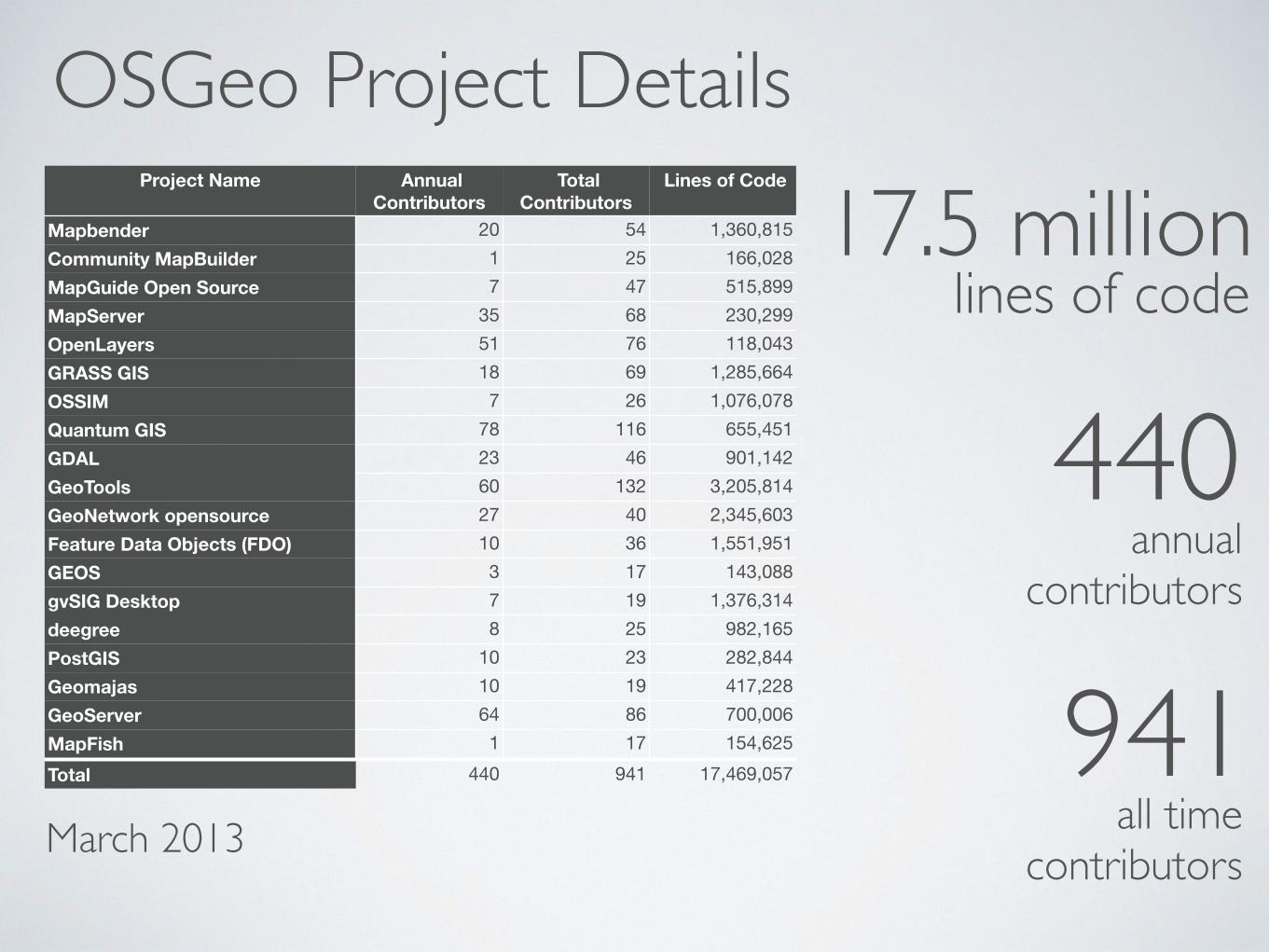
Project Name Annual Contributors
Total Contributors
Lines of Code
Mapbender 20 54 1,360,815Community MapBuilder 1 25 166,028MapGuide Open Source 7 47 515,899MapServer 35 68 230,299OpenLayers 51 76 118,043GRASS GIS 18 69 1,285,664OSSIM 7 26 1,076,078Quantum GIS 78 116 655,451GDAL 23 46 901,142GeoTools 60 132 3,205,814GeoNetwork opensource 27 40 2,345,603Feature Data Objects (FDO) 10 36 1,551,951GEOS 3 17 143,088gvSIG Desktop 7 19 1,376,314deegree 8 25 982,165PostGIS 10 23 282,844Geomajas 10 19 417,228GeoServer 64 86 700,006MapFish 1 17 154,625Total 440 941 17,469,057
OSGeo Project Details
March 2013
17.5 millionlines of code
440annual
contributors
all time contributors
941
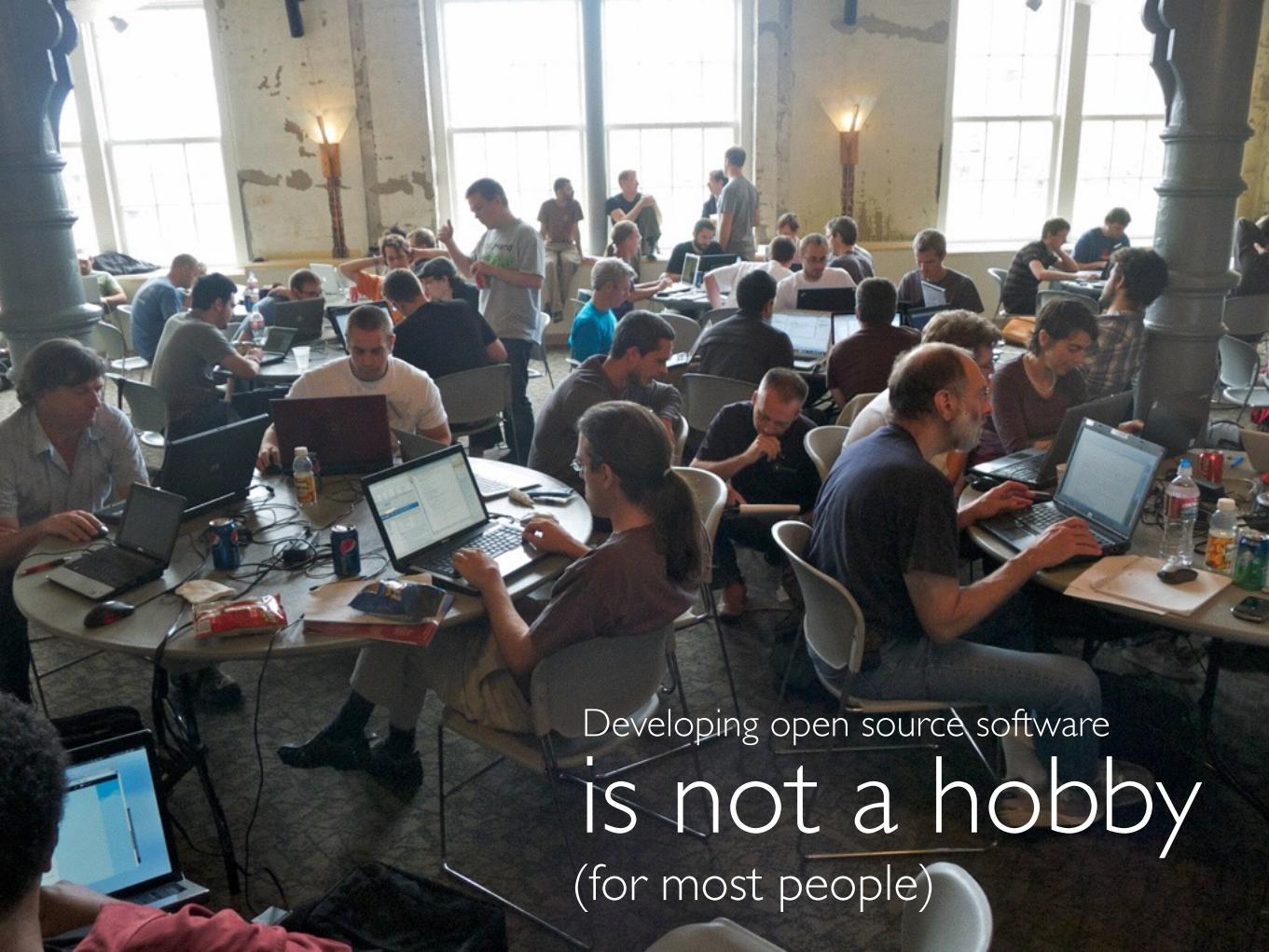
Developing open source software
is not a hobby(for most people)
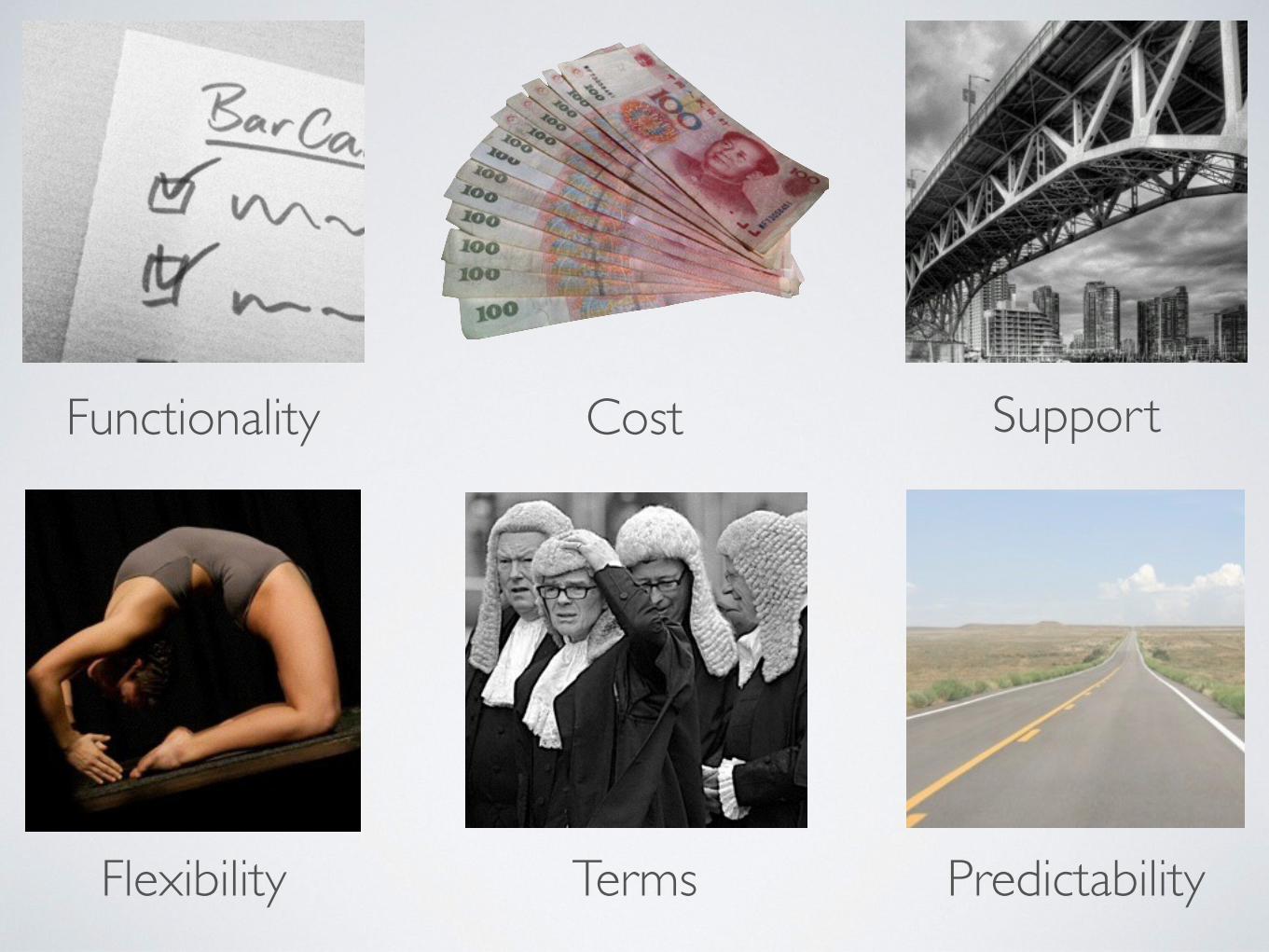
Functionality Cost Support
Terms PredictabilityFlexibility
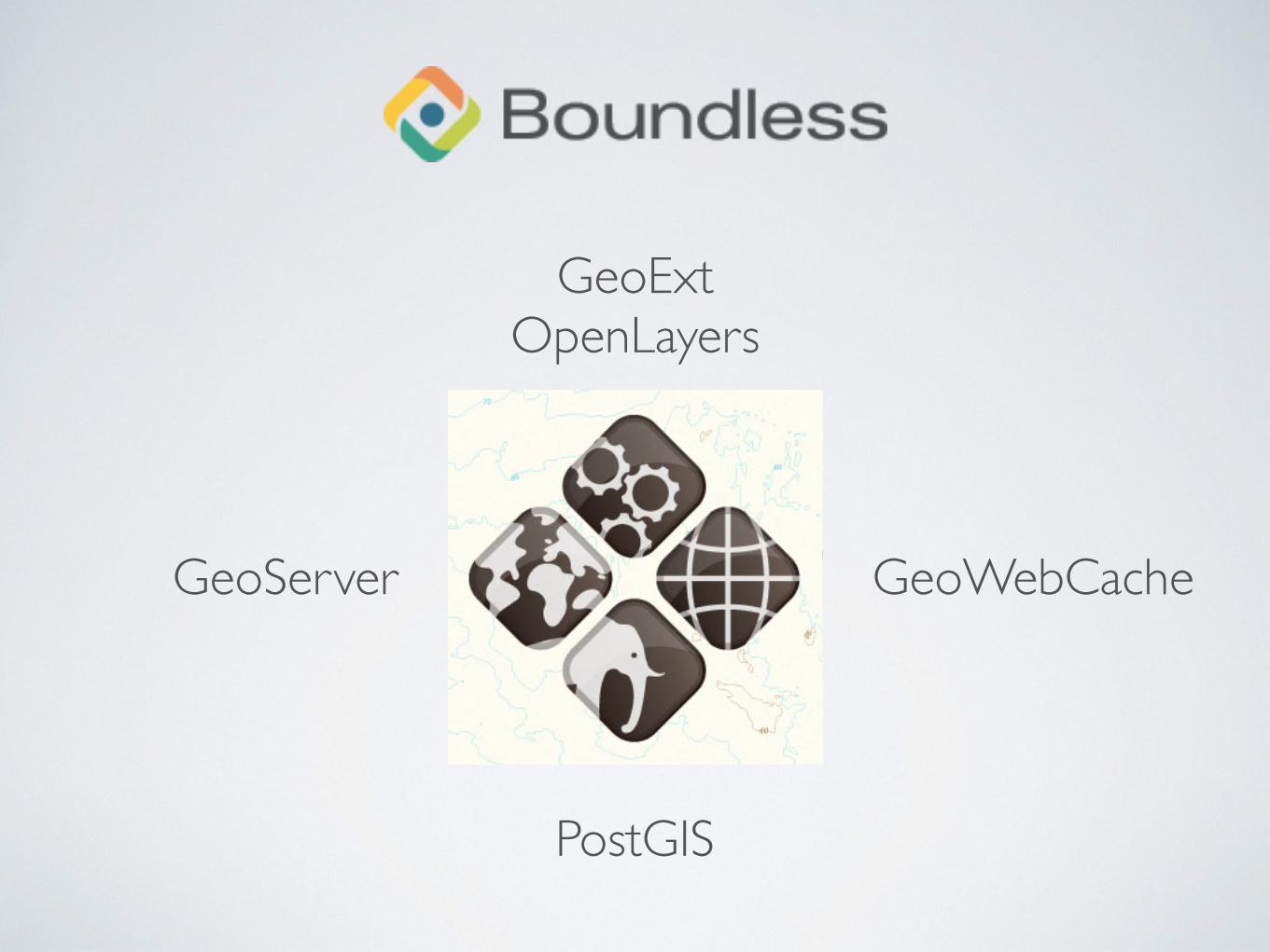
PostGIS
GeoExtOpenLayers
GeoServer GeoWebCache
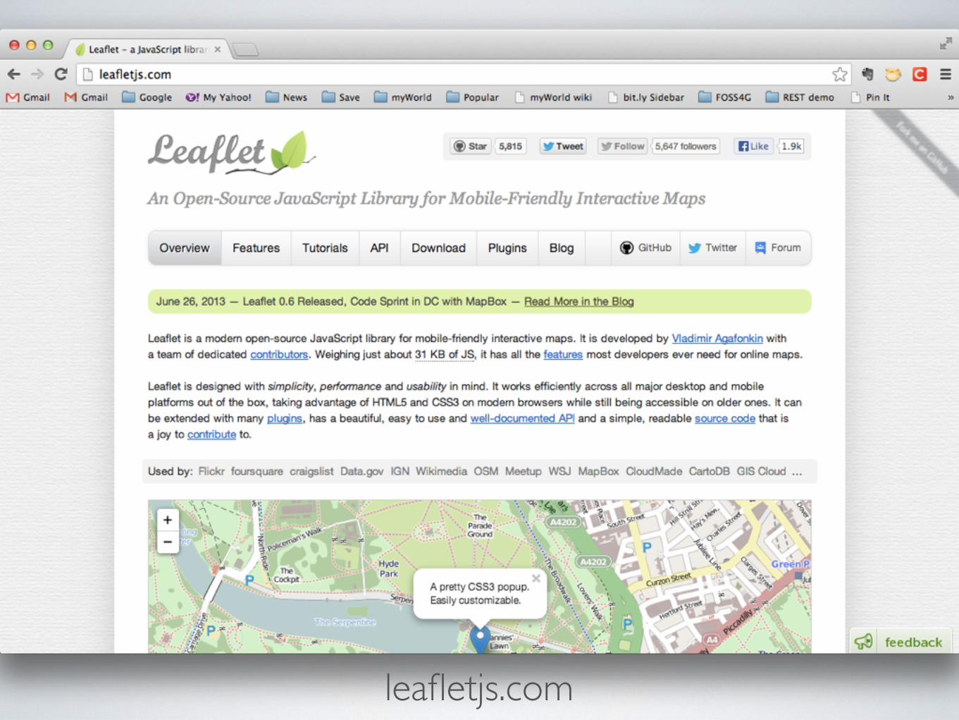
leafletjs.com
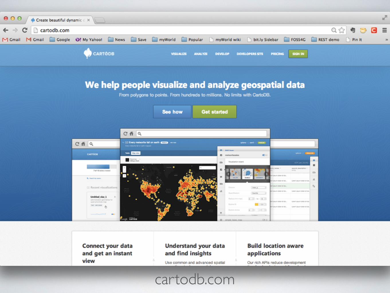
cartodb.com
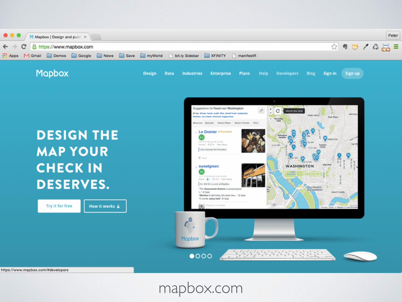
mapbox.com

Mapbox GL Vector tiles
https://www.mapbox.com/mapbox-gl-js/examples/
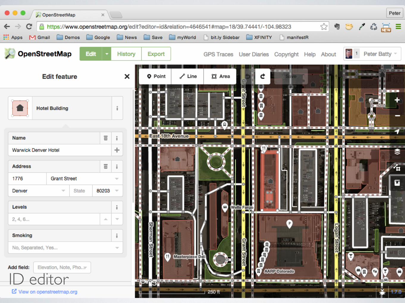
ID editor
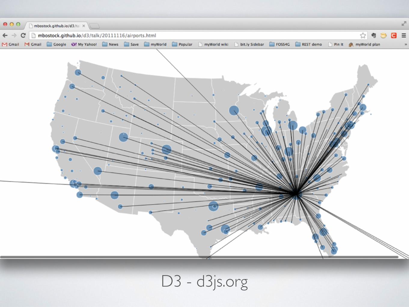
D3 - d3js.org

Cesium.js http://analyticalgraphicsinc.github.io/cesium-google-earth-examples/demos/milktruck/


MobileMobile
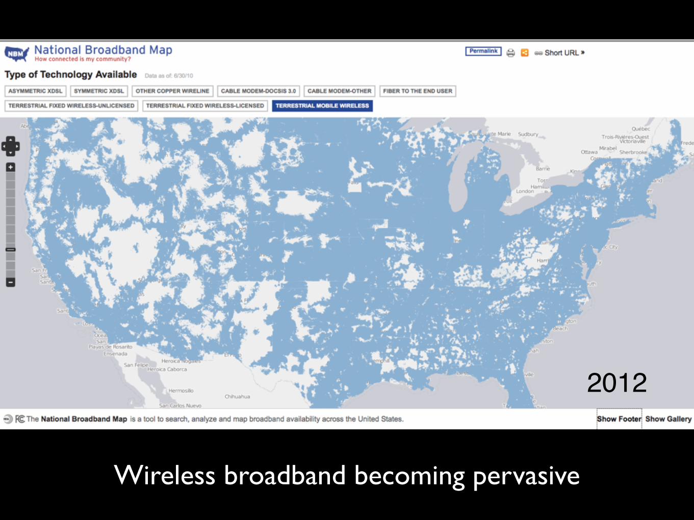
Wireless broadband becoming pervasive
2012
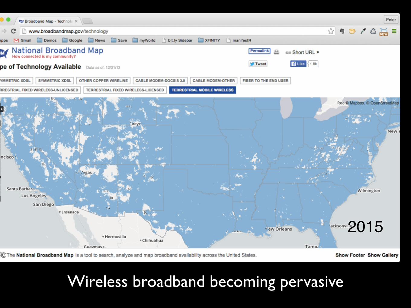
Wireless broadband becoming pervasive
2015

Revolution in simple but powerful smartphones and tablets
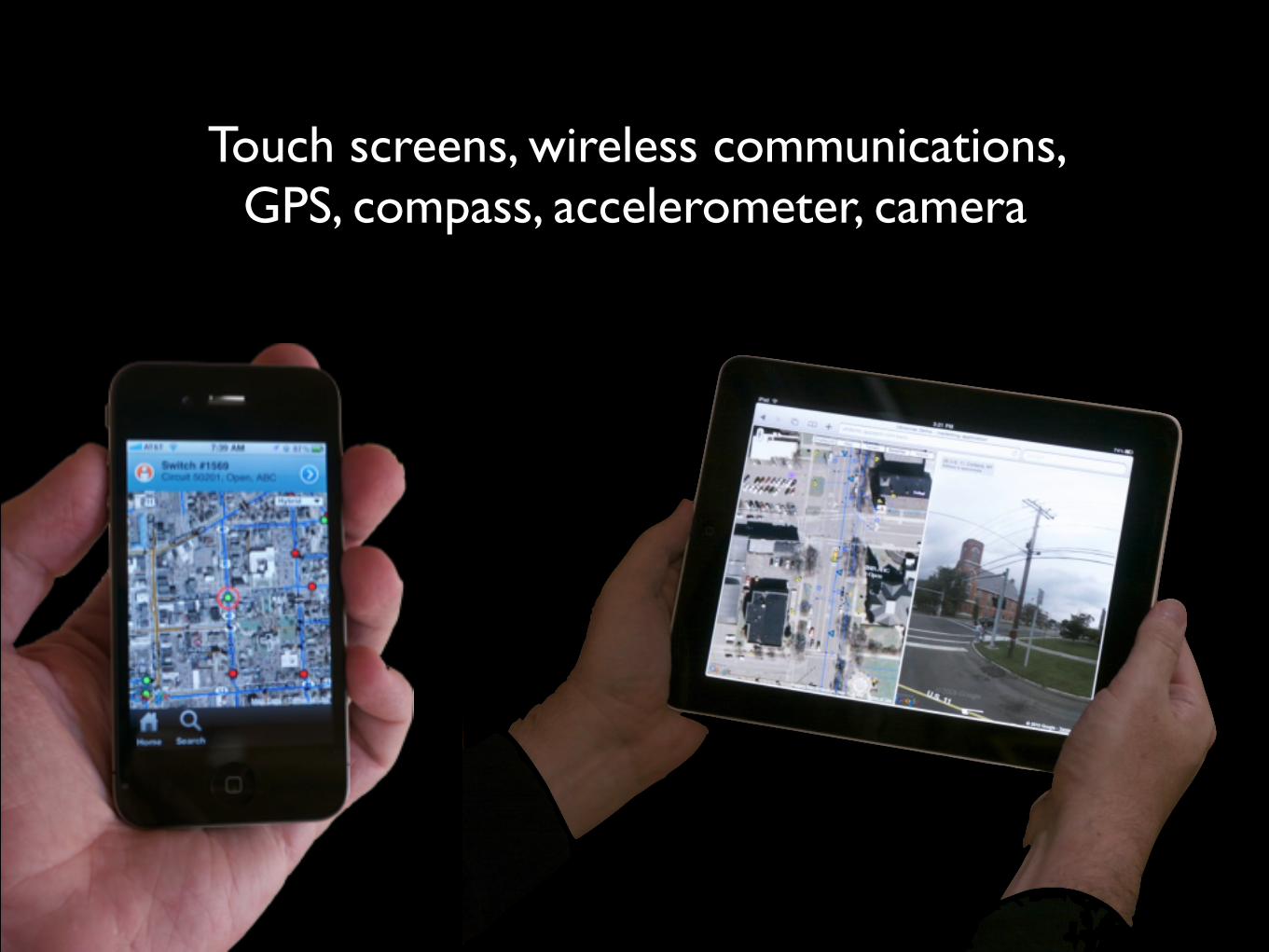
Touch screens, wireless communications, GPS, compass, accelerometer, camera
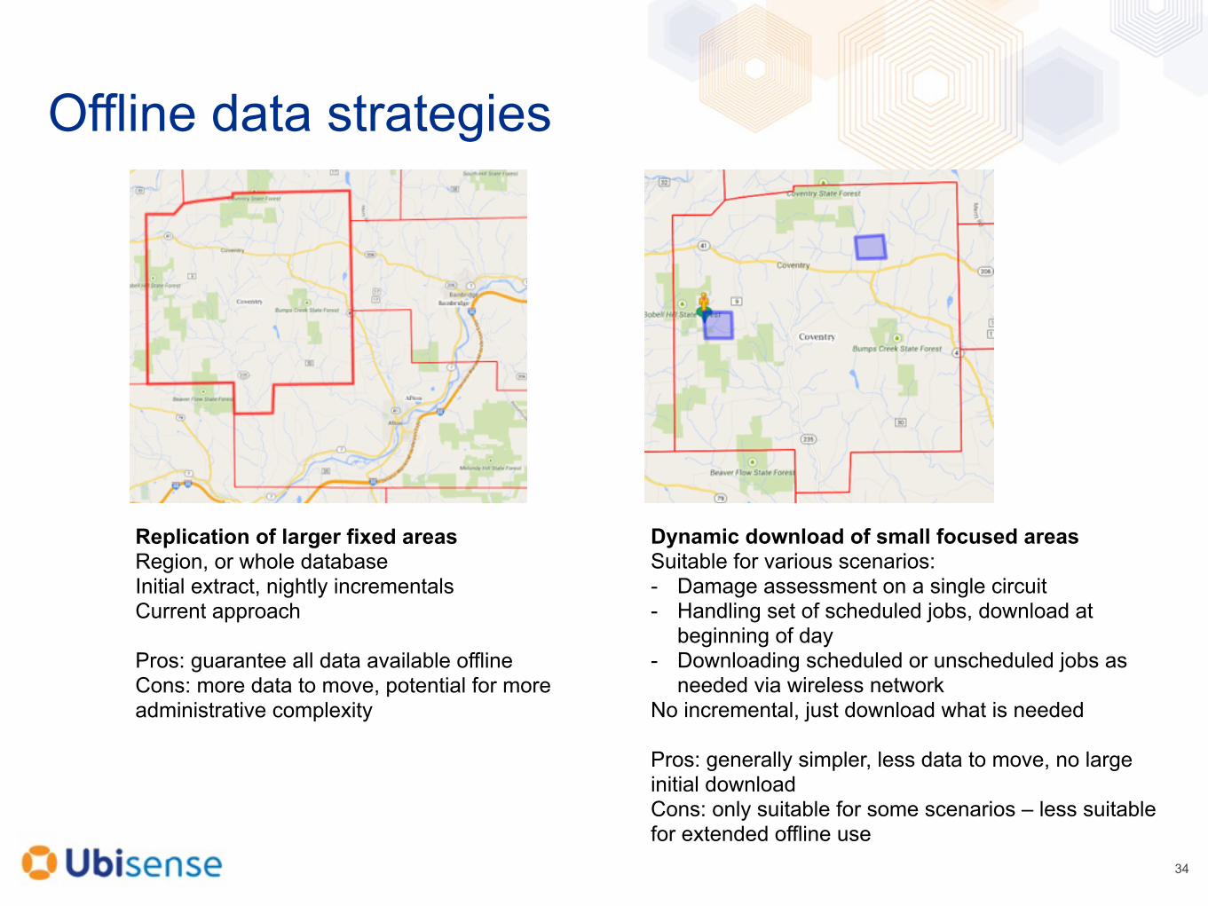
Offline data strategies
34
Replication of larger fixed areas Region, or whole database Initial extract, nightly incrementals Current approach
Pros: guarantee all data available offline Cons: more data to move, potential for more administrative complexity
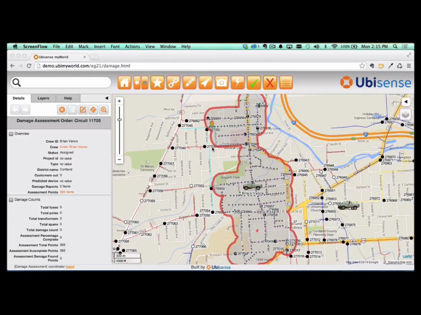
Dynamic download of small focused areas Suitable for various scenarios: - Damage assessment on a single circuit - Handling set of scheduled jobs, download at
beginning of day - Downloading scheduled or unscheduled jobs as
needed via wireless network No incremental, just download what is needed
Pros: generally simpler, less data to move, no large initial download Cons: only suitable for some scenarios – less suitable for extended offline use

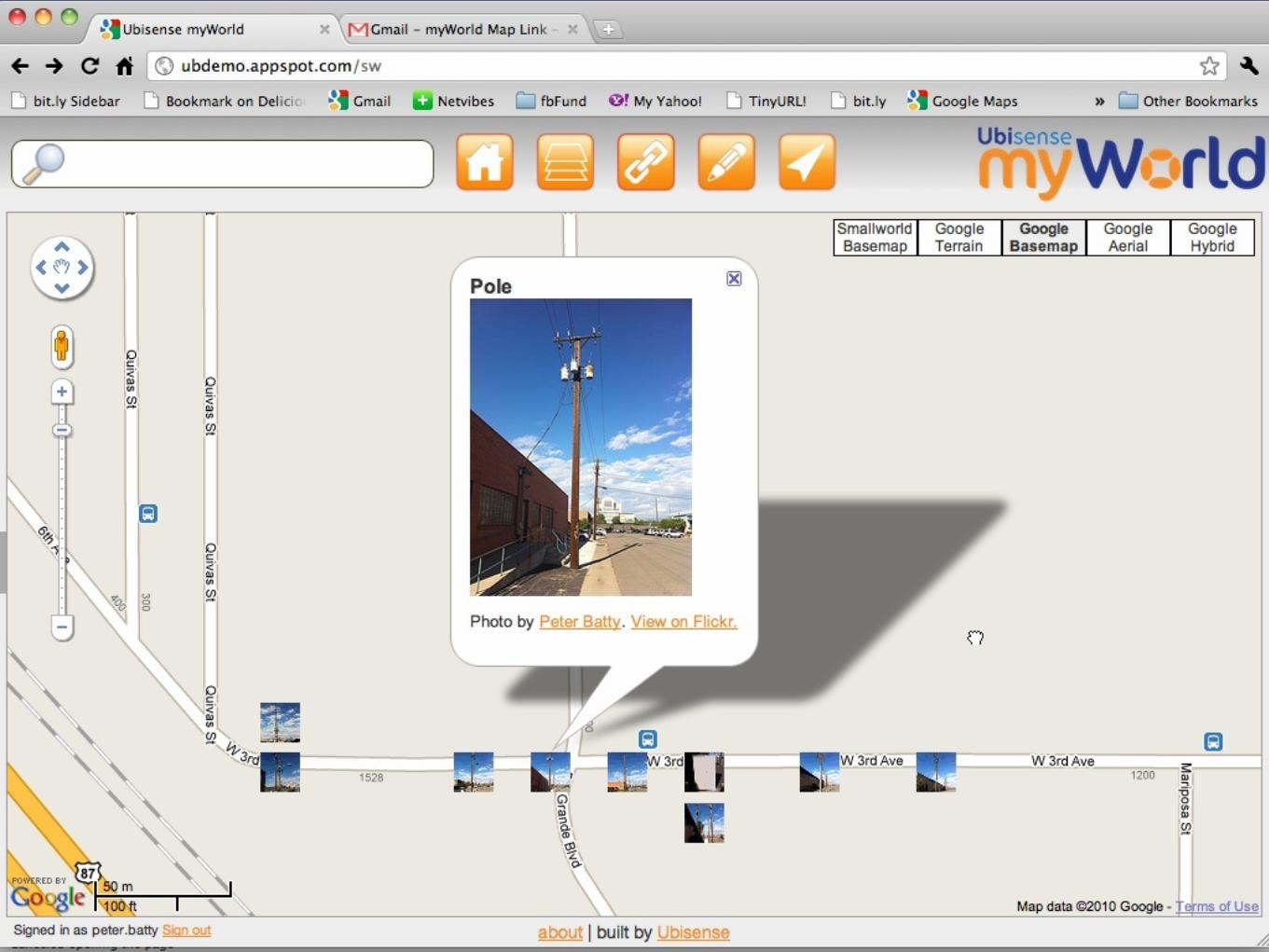
Pole #374109Wood, 30ftSwitch #1307Circuit #254, ABCInspected 2010/08/15
Augmented reality
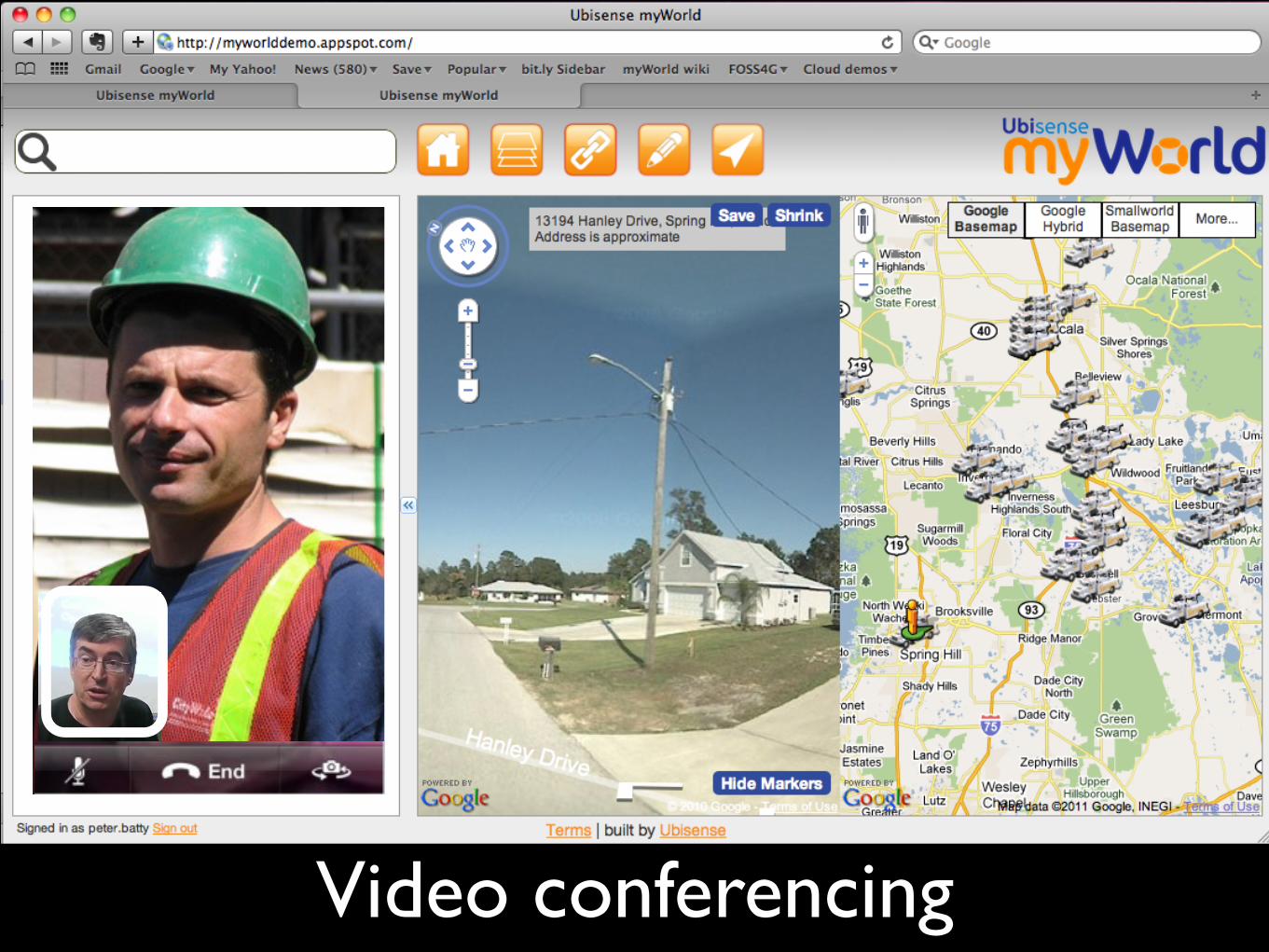
Video conferencing
The
flic.kr/p/7Bzn5E
Cloud

Picture from microsoft.com
Ray OzzieEx Chief Software Architect, Microsoft
Complexity kills.
Complexity sucks the life out of users, developers and IT. Complexity makes products difficult to plan, build, test and use. Complexity introduces security challenges. Complexity causes administrator frustration.

Picture from microsoft.com
Ray OzzieEx Chief Software Architect, Microsoft
We’re moving toward a world of:
cloud-based continuous services that connect us all and do our bidding, and
appliance-like connected devices enabling us to interact with those cloud-based services.
See http://ozzie.net/docs/dawn-of-a-new-day/or google “ray ozzie new day”

AmazonGoogle
Your IT department
HUGEeconomies of scale

but is it SECURE???
flic.kr/p/4iCux7
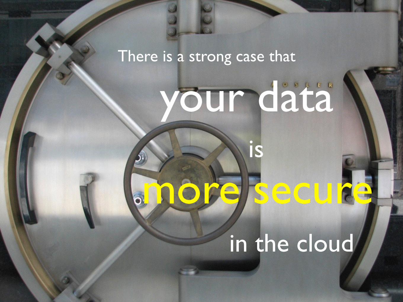
There is a strong case that
your data
more secureis
in the cloud


Crowdsourcing
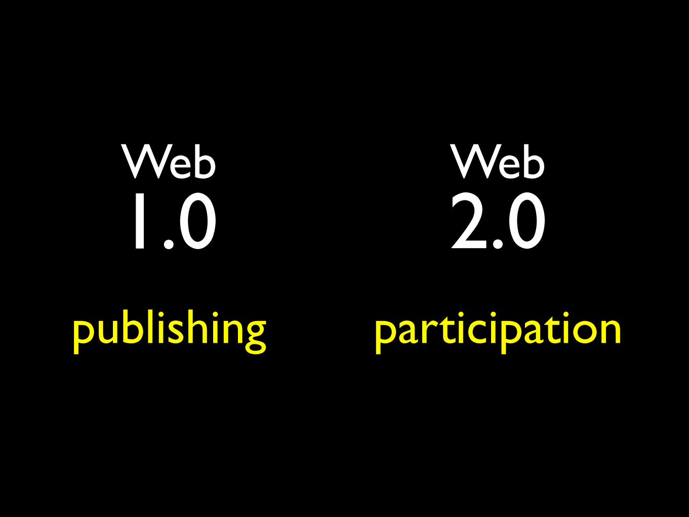
Web
publishing participation
2.0Web1.0

Wikipedia
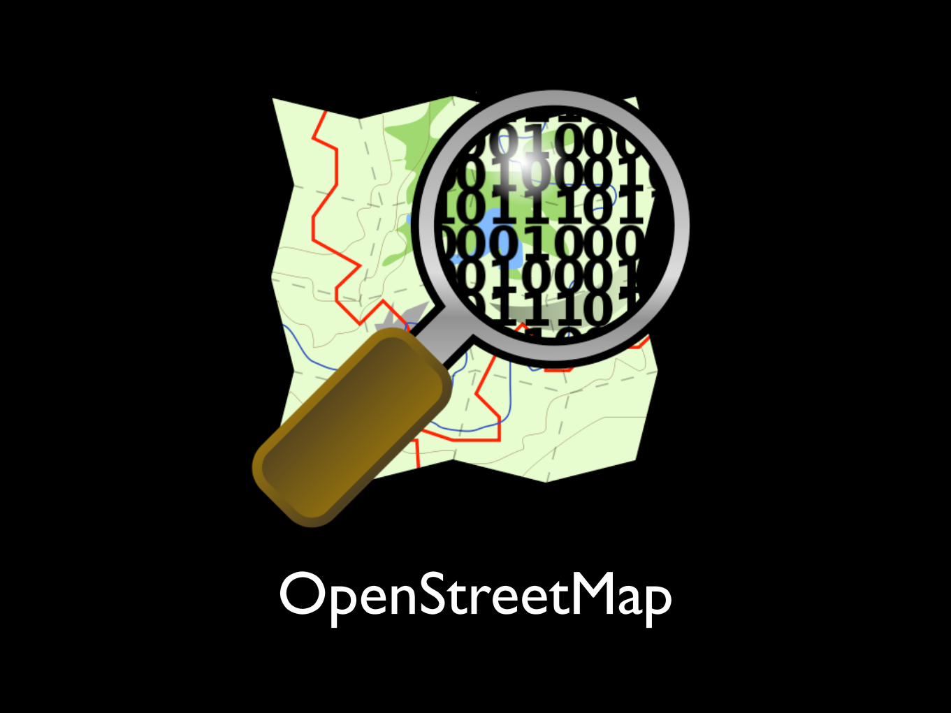
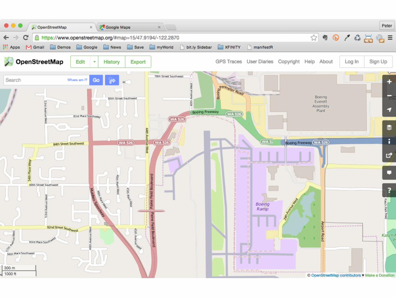
OpenStreetMap
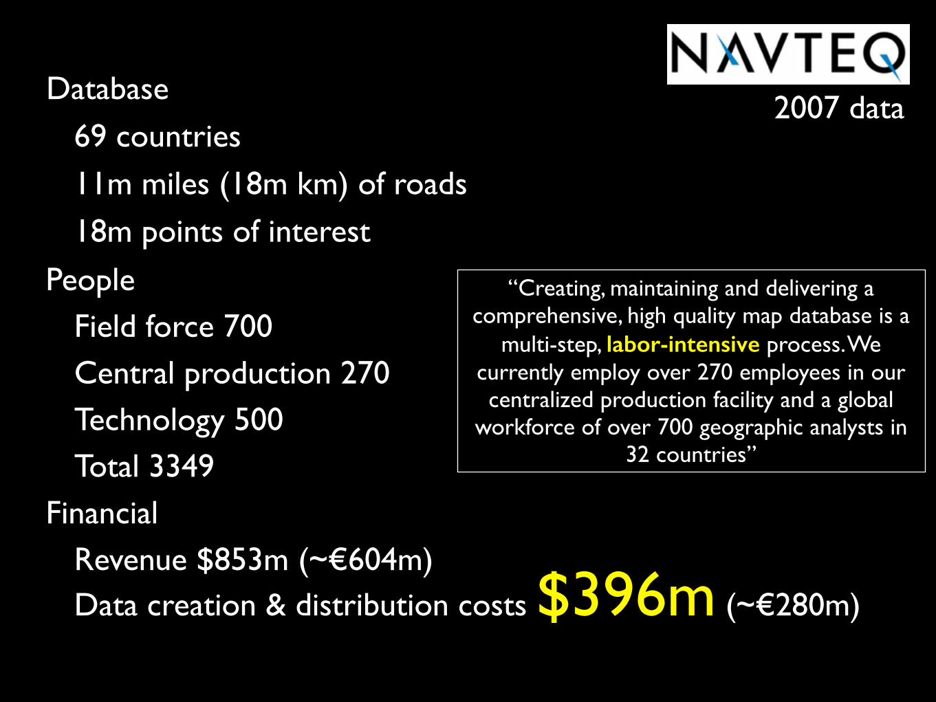
2007 dataDatabase
69 countries11m miles (18m km) of roads18m points of interest
PeopleField force 700Central production 270Technology 500Total 3349
Financial Revenue $853m (~€604m) Data creation & distribution costs $396m (~€280m)
“Creating, maintaining and delivering a comprehensive, high quality map database is a
multi-step, labor-intensive process. We currently employ over 270 employees in our centralized production facility and a global
workforce of over 700 geographic analysts in 32 countries”
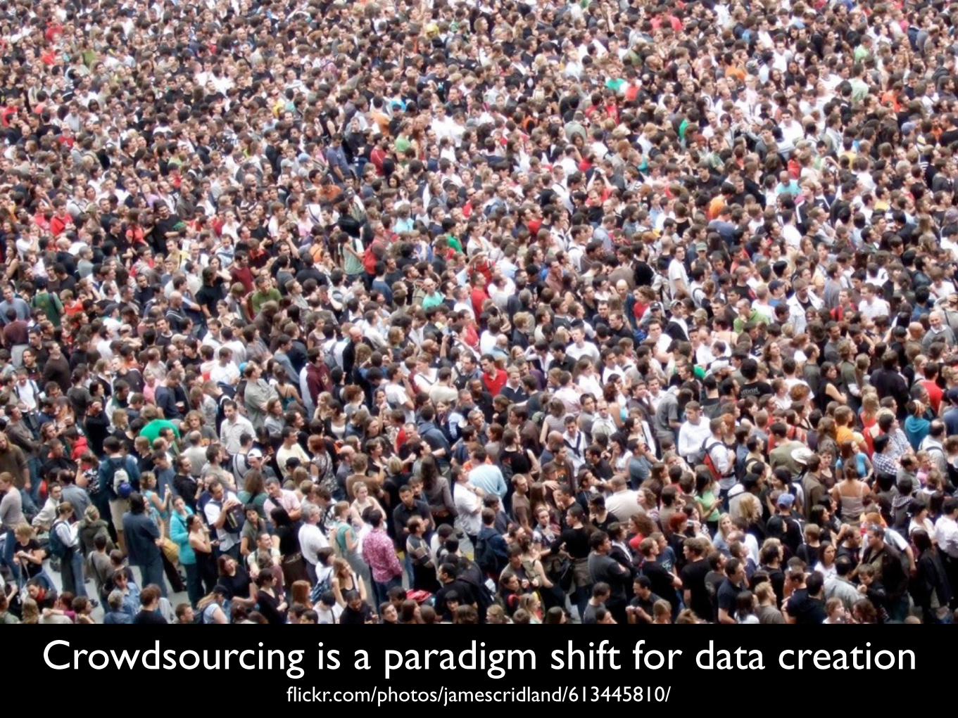
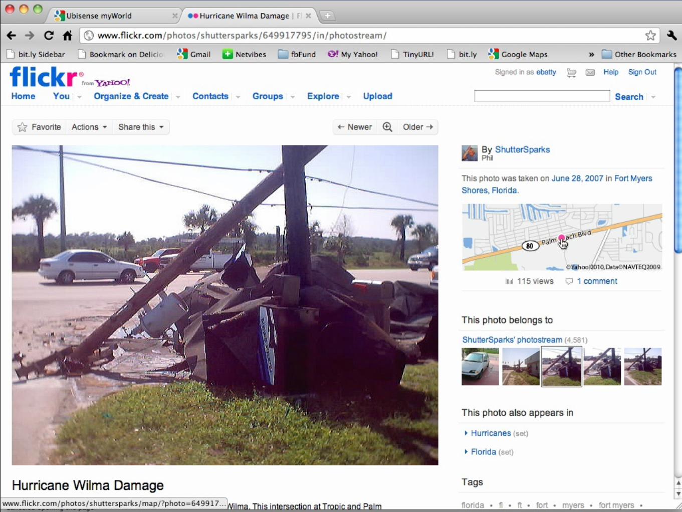
Crowdsourcing is a paradigm shift for data creationflickr.com/photos/jamescridland/613445810/
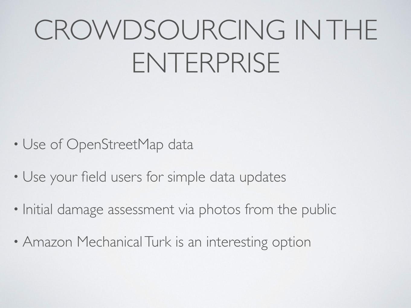
CROWDSOURCING IN THE ENTERPRISE
• Use of OpenStreetMap data
• Use your field users for simple data updates
• Initial damage assessment via photos from the public
• Amazon Mechanical Turk is an interesting option
DATA(MULTIMEDIA)
Looking from now to 5-10 years out
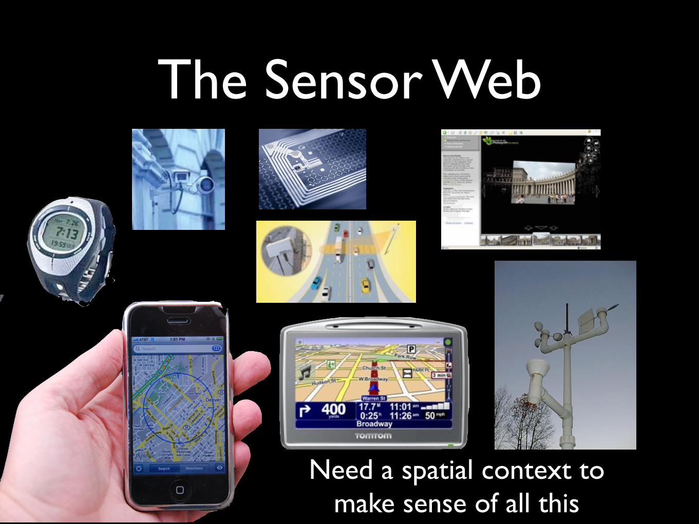
The Sensor Web
Need a spatial context to make sense of all this
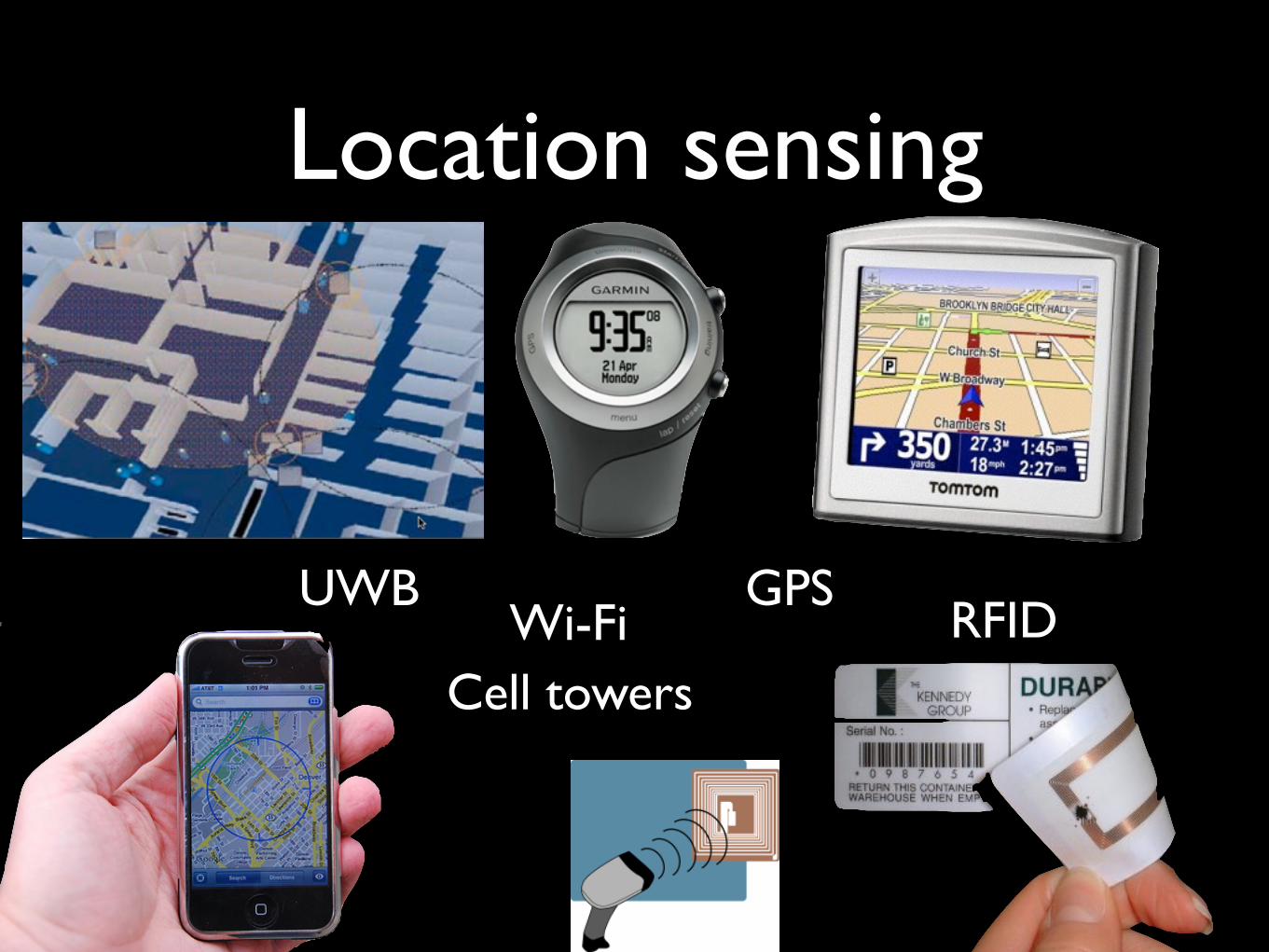
Location sensing
Cell towersWi-Fi
GPSRFID
UWB
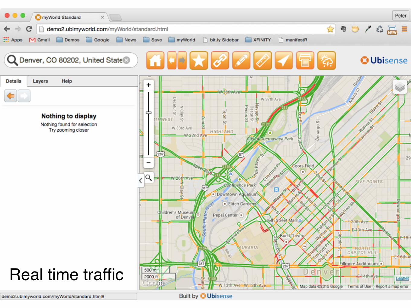
Real time traffic
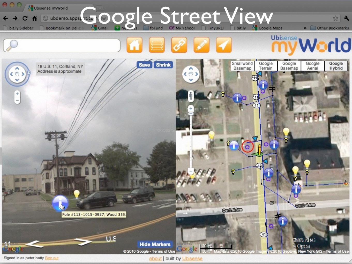
Google Street View
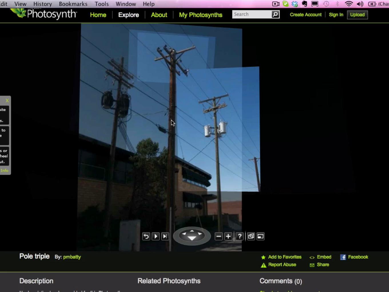
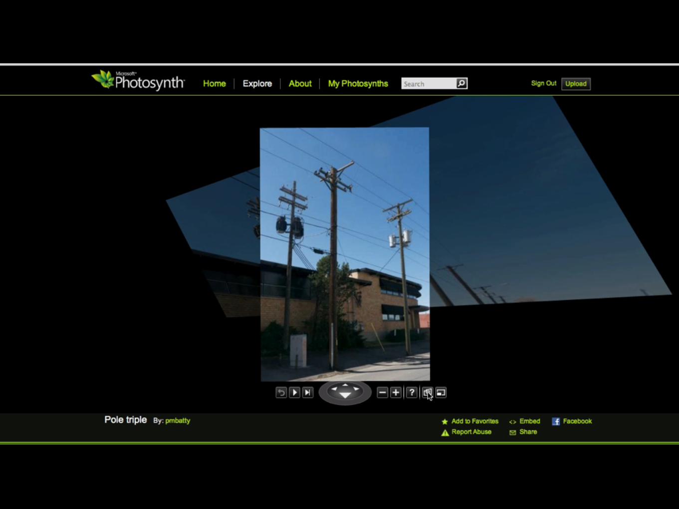

https://photosynth.net/preview/view/c5bf5a01-f41b-4543-985b-64ef0a969fe3
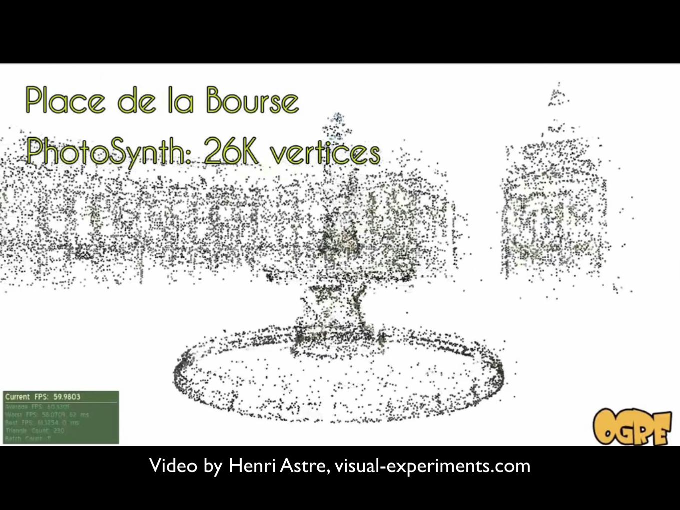
Video by Henri Astre, visual-experiments.com

Microsoft Street Slide
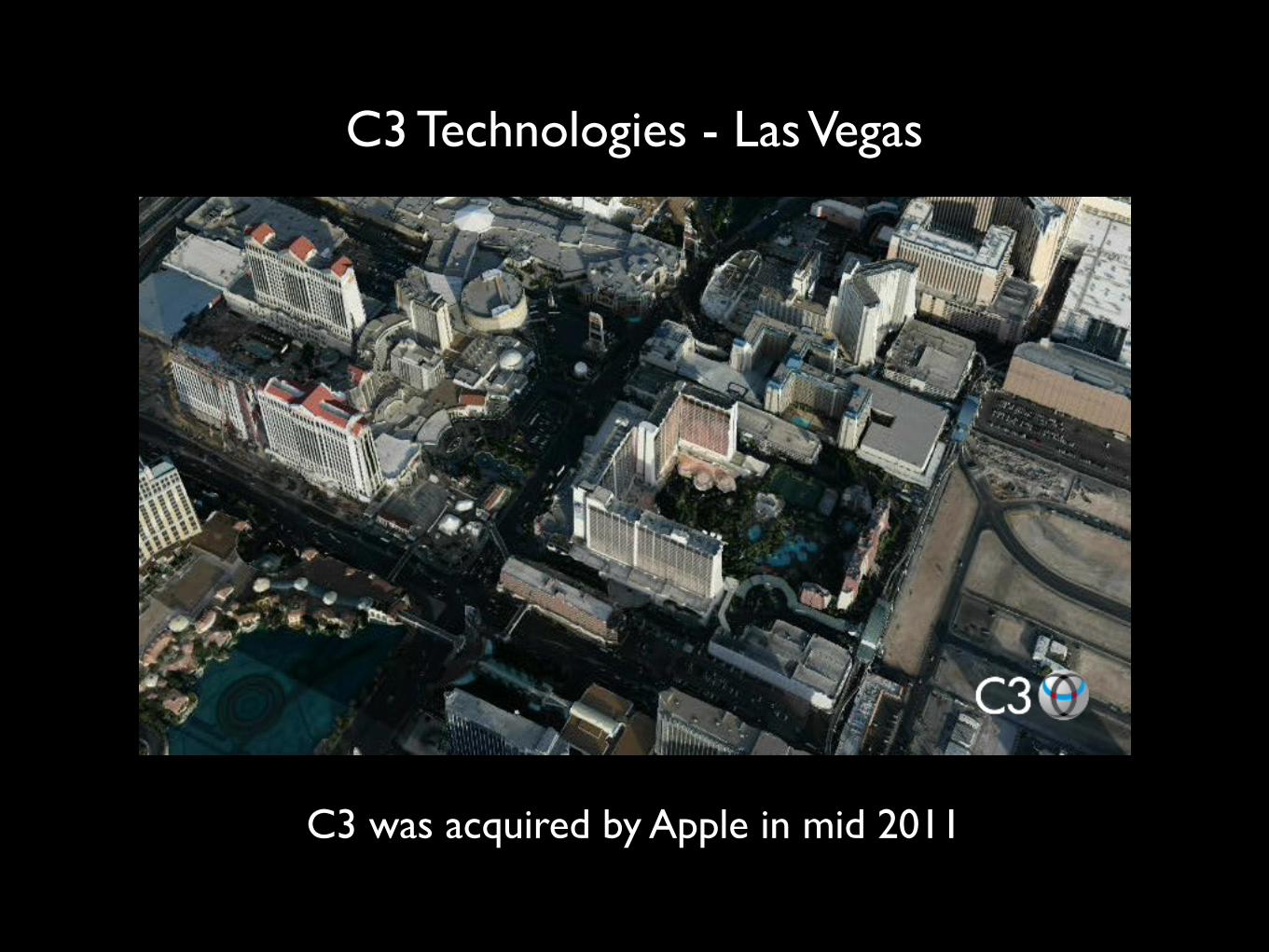
C3 Technologies - Las Vegas
C3 was acquired by Apple in mid 2011
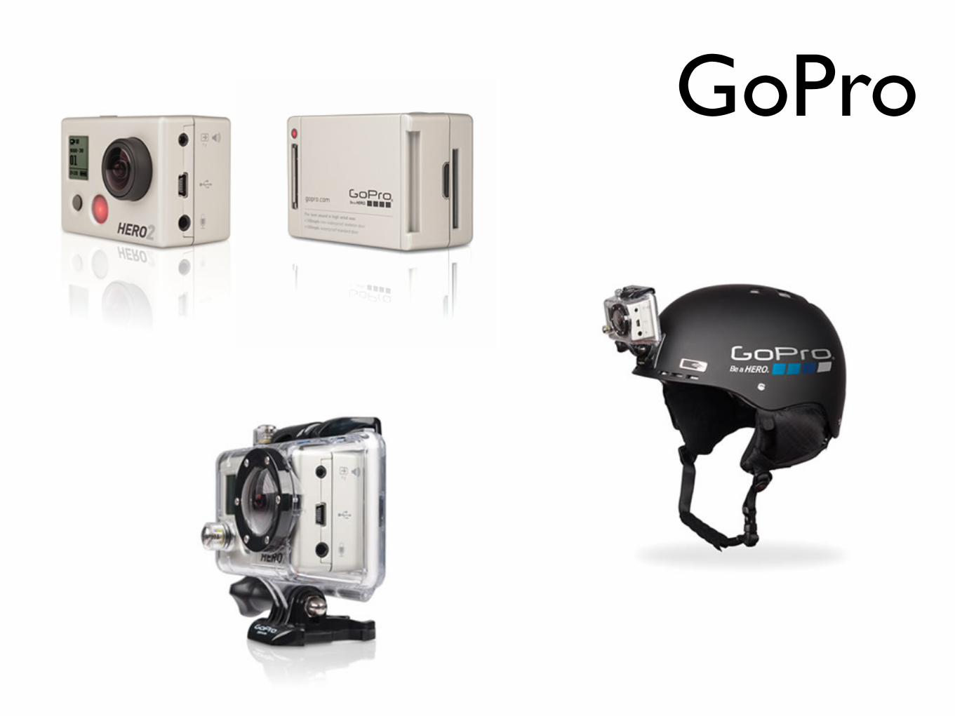
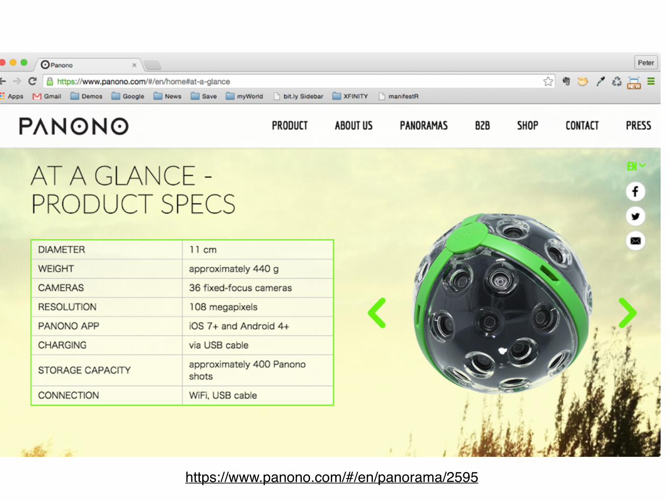
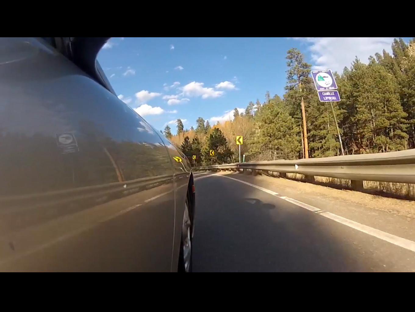
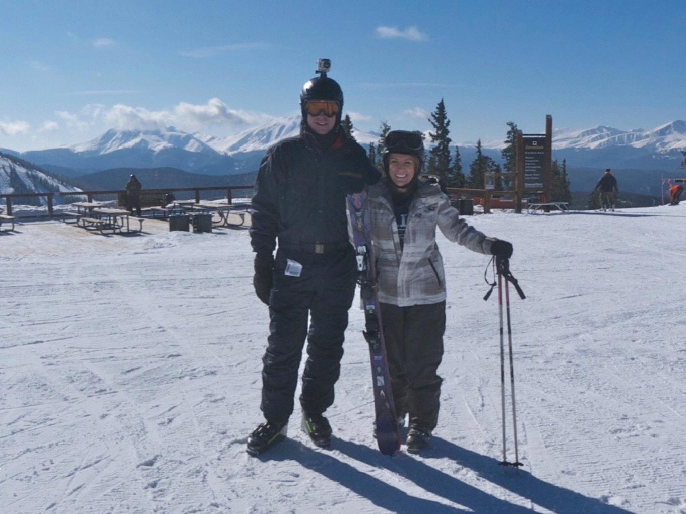
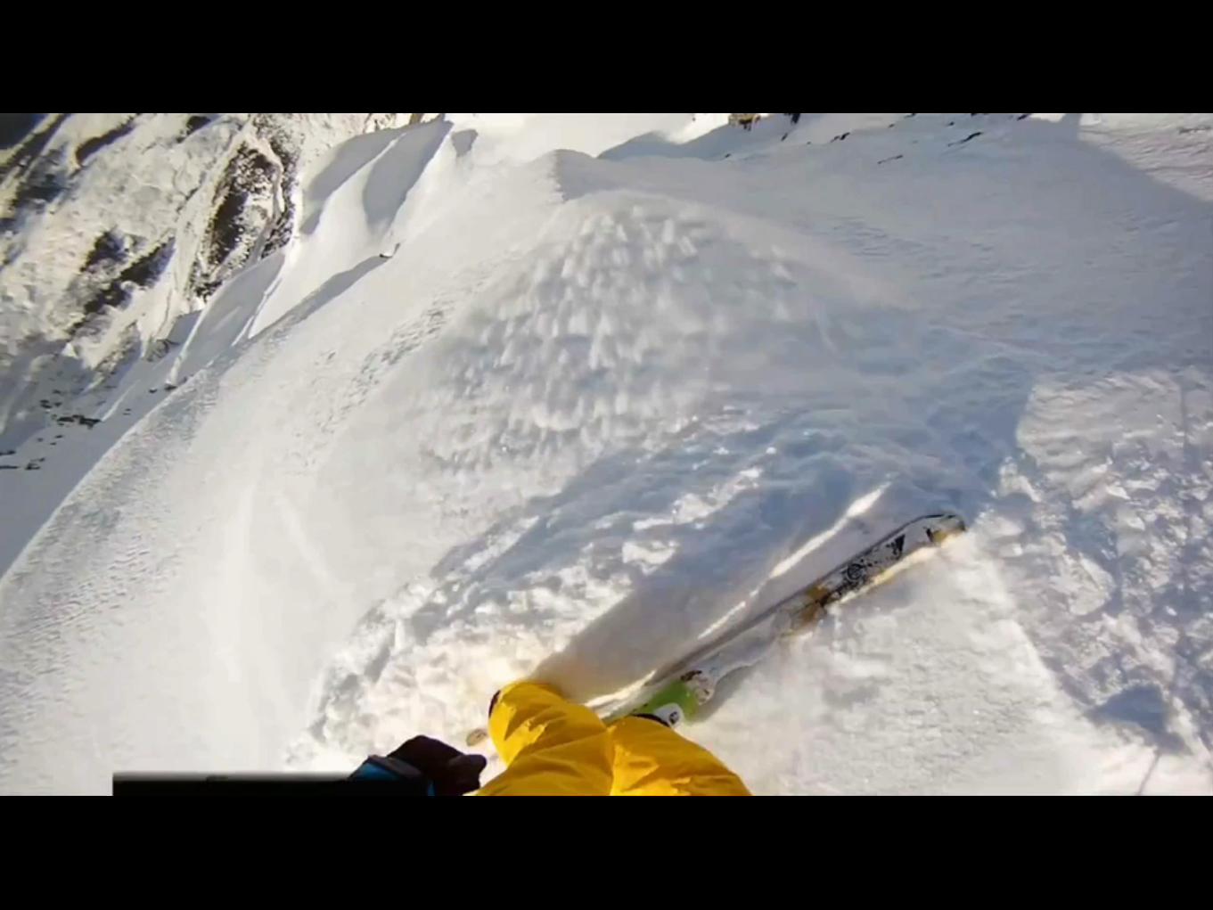
GoPro
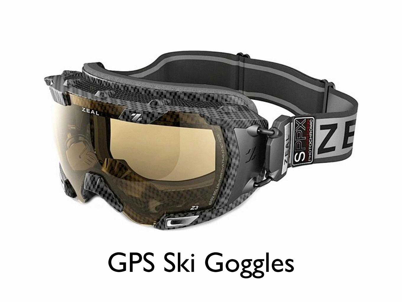
GPS Ski Goggles


iPhone 4S camerasBack
8MP stills1080p HD video
Front
VGA stills and video
Source: CNET http://cnet.co/iphone4sparts
Cost of camera parts
$17.60

iPhone 6 cameras Back
8MP stills1080p HD 60 fps video
Front
1.2MP stills 720p HD video
Source: TechInsightshttp://www.techinsights.com/
teardown.com/apple-iphone-6/
Cost of camera parts
$16.50
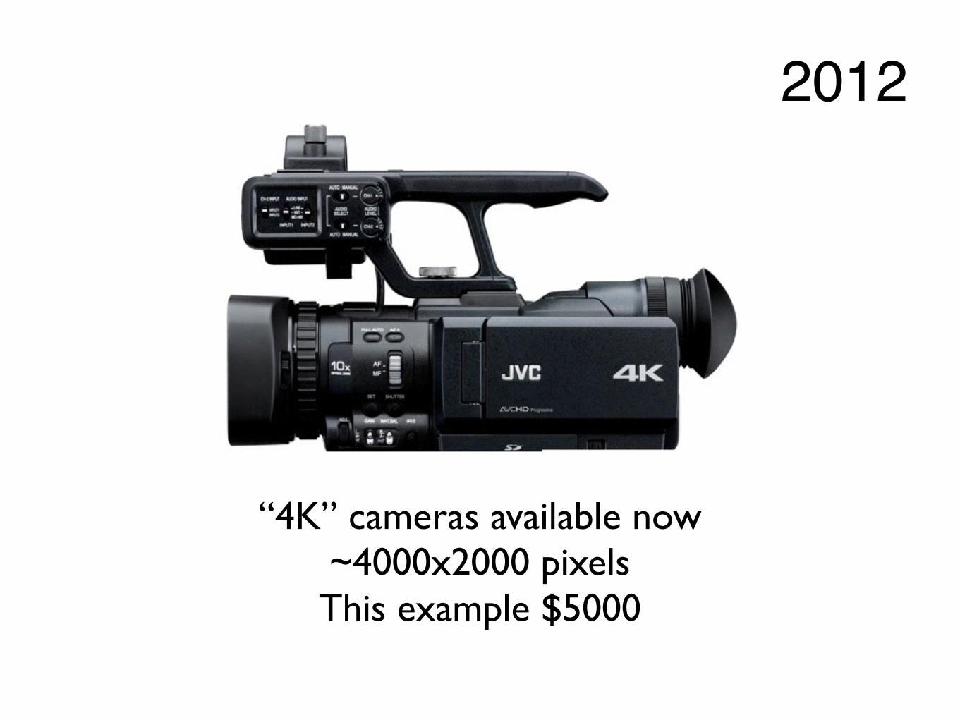
“4K” cameras available now~4000x2000 pixelsThis example $5000
2012
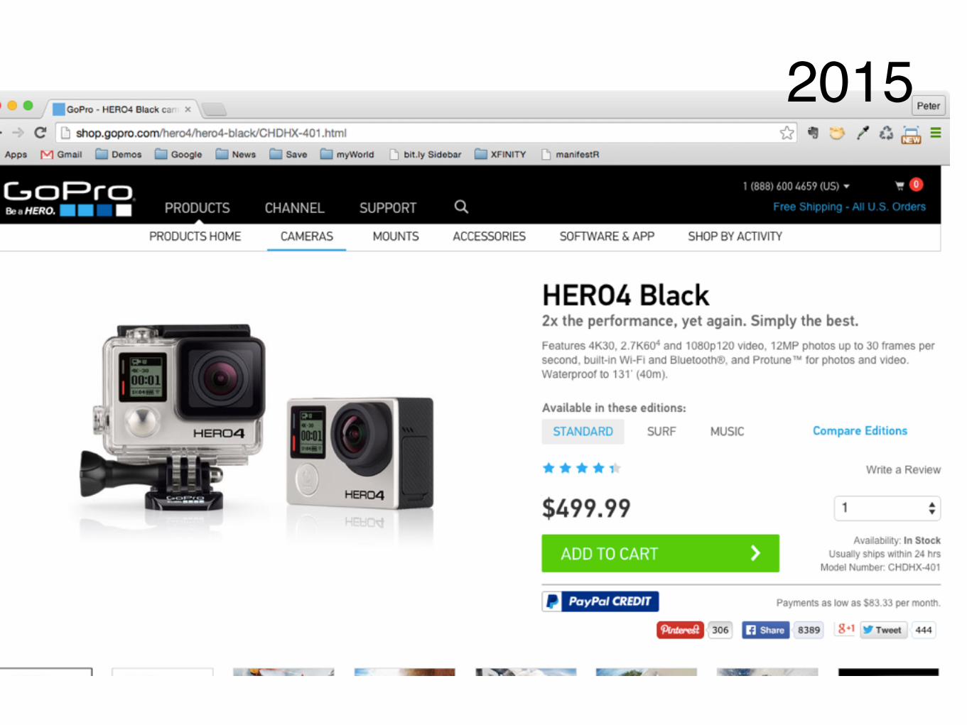
2015
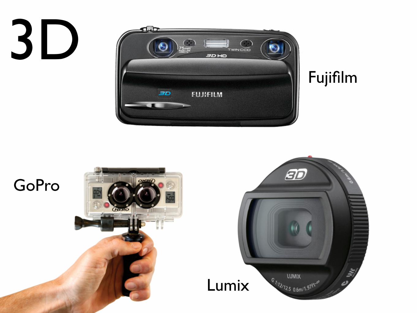
3D
GoPro
Fujifilm
Fujifilm
Lumix

Video courtesy of Dave Cottrell, Cooperative Fusion

Nixie the selfie drone

Google glass
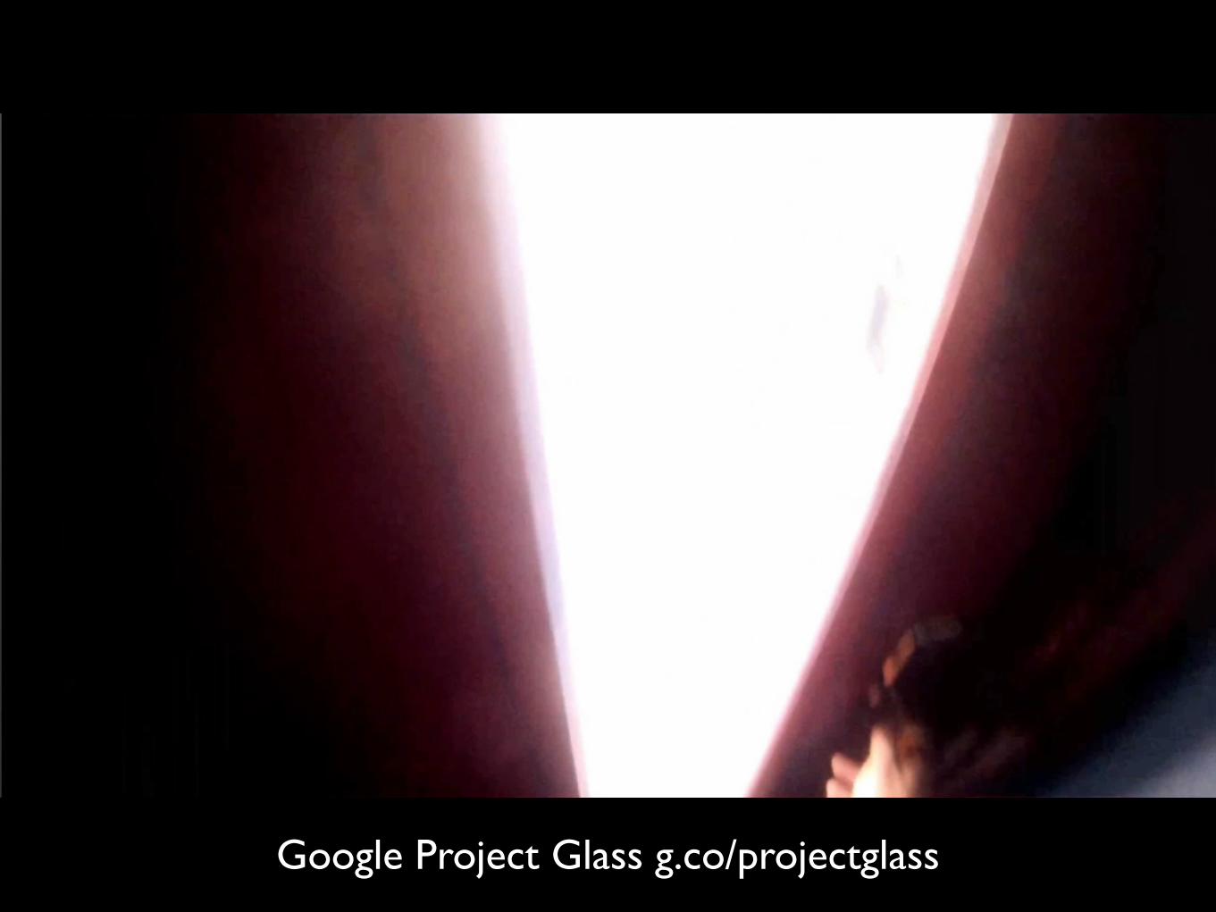
Google Project Glass g.co/projectglass

Aero Glass

Microsoft HoloLens
https://vimeo.com/117639983
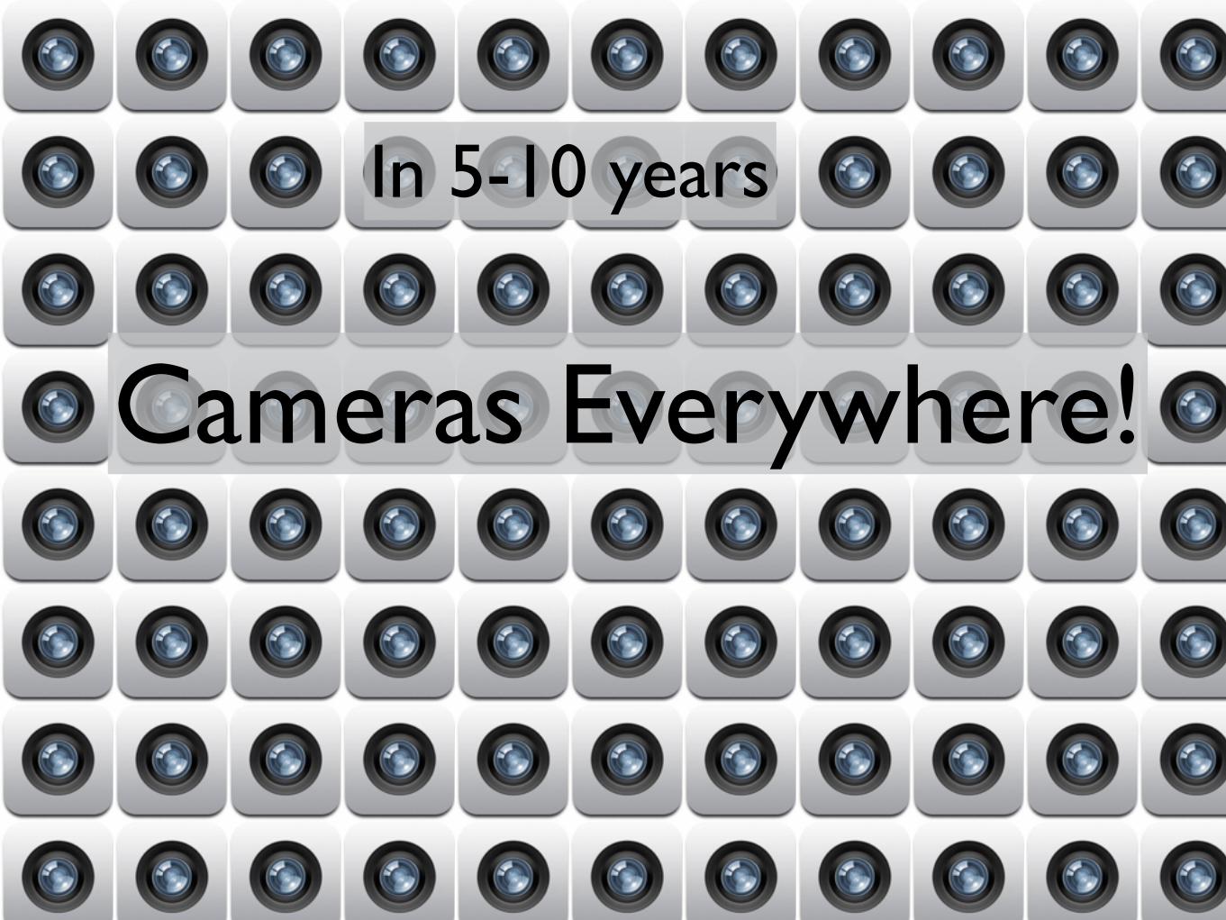
In 5-10 years
Cameras Everywhere!
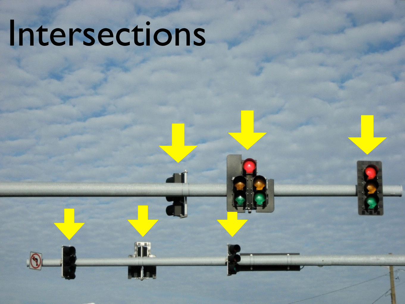
Intersections
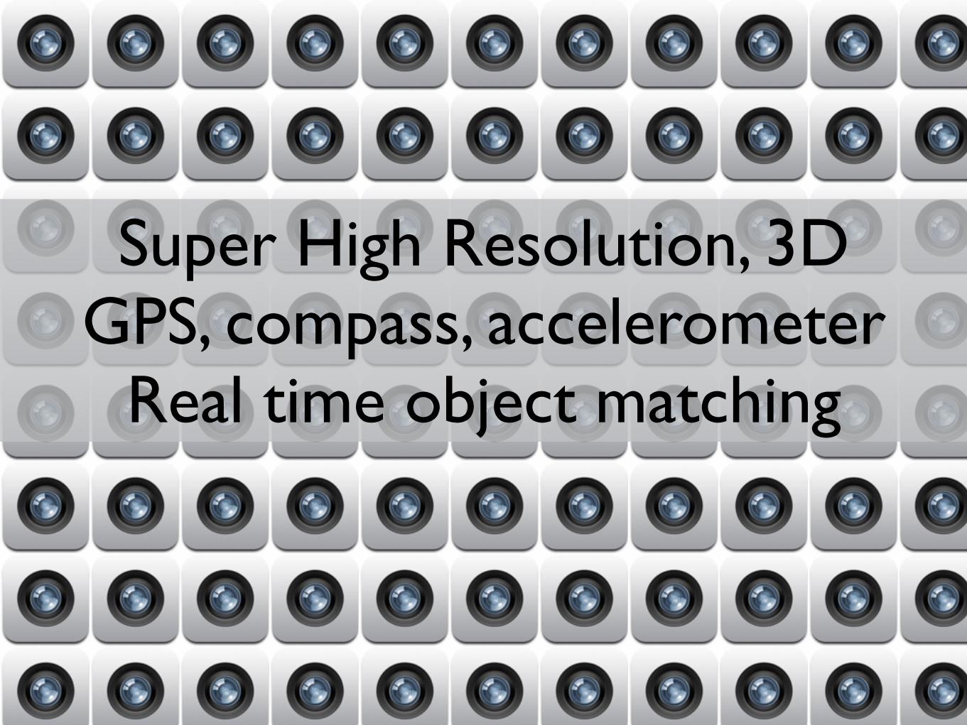
Super High Resolution, 3DGPS, compass, accelerometer
Real time object matching
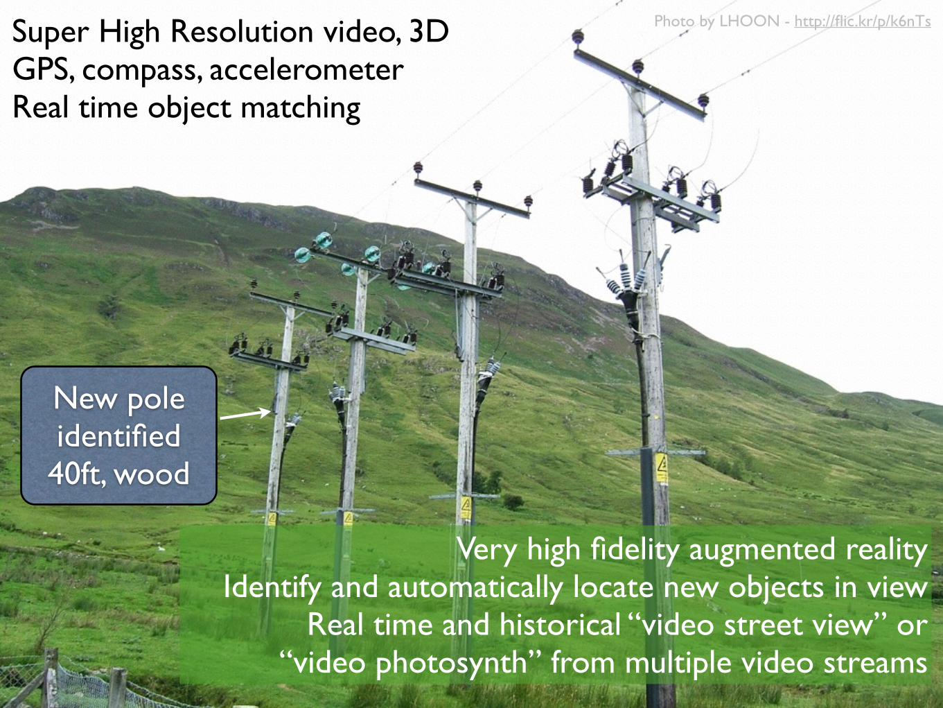
Super High Resolution video, 3DGPS, compass, accelerometerReal time object matching
New pole identified40ft, wood
Very high fidelity augmented realityIdentify and automatically locate new objects in view
Real time and historical “video street view” or “video photosynth” from multiple video streams
Photo by LHOON - http://flic.kr/p/k6nTs
Conclusion on multimedia
• Dramatically changes …
• The nature of data managed and displayed in geospatial systems
• The way that updates are done
• Potential for traditional GIS update / as built to go away

SUMMARY


@pmbattygeothought.blogspot.com