Embed Size (px)
Citation preview

IKH GOBI
ENERGY
MANDAKH NUUR COAL PROJECT

Contents
1. Exploration program
2. Open cut coal mine
3. Infrastructure
4. Market and marketing
5. Project implementation plan
ИХ
ГОВ
Ь
ЭНЕ
РЖИ
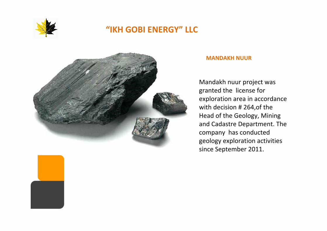
MANDAKH NUUR
“IKH GOBI ENERGY” LLC
Mandakh nuur project was
granted the license for
exploration area in accordance
with decision # 264,of the
Head of the Geology, Mining
and Cadastre Department. The
company has conducted
geology exploration activities
since September 2011.

The project is located 580 km from Ulaanbaatar, 117 km from Dorno-
gobi province’s Mandakh soum, 210 km from the Dorno-gobi
province’s Sainshand city and 165km to Khangi - Mandal border port.
PROJECT LOCATION
MANDAKH NUUR
KHANGI
MANDAL port
165 KM
UNDURSHIL
580 кмкмкмкмCHOIR
MANDAKH

INVESTMENT HIGHLIGHTSINVESTMENT HIGHLIGHTS
LARGE RESOURCE
LARGE RESOURCE
� According to the result from initial drilling holes and a geophysical survey, the deposit is believed to have potential reserve for 100 million tons. The project license area covers 10,767 hectares which is four times larger than Ukhaa Khudag coal field of Mongolia Mining Corporation (0975.HK).
� “Mandakh Nuur”deposit is located 165km from Mongolia-China border port, which is 250km from Baogang Group, the largest steel producer in Inner Mongolia, China, and possessing relatively good advantages to access into Hebei province, largely concentrated area of steel mills.
� As the largest steel producing nation in the world, China requires a significant amount of coking coal for its steel industry. The GDP growth 2011 of Inner Mongolia, the main market for Mongolia’s coal, was 15% which is 5.8% higher than China national economic growth average in 2011.
� The quality of coal is in-line with world-class hard coking coal brands, and is highly marketable in China. Initial test results indicate that the quality of Mandakh Nuur coal is higher than MMC’s and other deposits in South Gobi.
STRATEGICLOCATION
STRATEGICLOCATION
HUGE MARKETDEMAND
HUGE MARKETDEMAND
HIGH QUALITY COKING COALHIGH QUALITY COKING COAL

�Exploration license
�Field mapping
�Aerial map
�Sampling
�Trenching
�Geo-chemical
sampling
�Laboratory work
�Geophysical
exploration
�Coal quality
assessment
�Exploration work
�Pre-feasibility study
(2012.12.30)
�JORC Resource Report
(2012.12.30)
�Mining License
�CAPEX Funding
�Open pit mine
construction
�Mine Infrastructure
development
�Purchase Agreement
�Production
�Export
CURRENT DEVELOPMENT OF THE PROJECTCURRENT DEVELOPMENT OF THE PROJECT

LICENSED AREA
• Total area of 10,767 hectares.
• Potential coal resource up to 100
million ton (comparing to identical
projects like BN)
• Coal seams total thickness is between
120m-150m
• Total thickness of soil is 20-30 m
• Single seam thickness up to 41.8
meters and above
• Accumulated coal thickness: 91m

Д/
д
Type of work Volume
1 Total number of drill holes 150 holes
2 Total drilled linear meter 20,500 linear meter
3 Core - drilling (core) 13,228 linear meter
4 RC - drilling (reverse circulation) 7,272 linear meter
5 Core samples 1365 samples
6 Hydrogeology 3 wells
7 Geophysical work: spectrometer 3400 ha
8 Drill hole logging 10600.9 linear meter
9 Topographic work: topography mapping 500 ha area
10 Hole conjunction 66 holes
OVERVIEW OF EXPLORATION PROGRAM SINCE SEPTEMBER 2011

Coal bearing sediment continues 1.8 km wide, 17 km long area and is overlaid by
young sediment (N-P).
Geological map of Project area (scale 1:60 000)
COAL BEARING STRATA

EXPORT PLAN /2012 EXPORT PLAN /2012 EXPORT PLAN /2012 EXPORT PLAN /2012 –––– 2015 /2015 /2015 /2015 /

PREMIUM QUALITY COALPREMIUM QUALITY COALPREMIUM QUALITY COALPREMIUM QUALITY COAL

MANDAKH NUUR COAL DEPOSIT - 2012
• The top and sub soil stripping will begin in March 2012.
• The extraction of coal will begin in July 2012 after 7 million cubic meter of
overburden material stripping.

INFRASTRUCTURERoutes
Mandakh
Nuur

Road construction
2012 – improved dirt road
2013 – to build bridge and channel
2014 – Paved road
Infrastructure

Infrastructure
• Ger camp
• Gas station
• Office and dining hall
• The boiler house
• Checkpoint
• Parking
• Repair shop

Khangi-Mandal border point
• 310 km from provincial center of Dorno-Gobi• 100km from Khatanbulag soum og Dorno-
Gobi• 275km from Zamiin-Uud boarder• 60km from Sulinkheer border military base
• This border point operates 365 days to support mining, mineral transportation and border point infrastructure development.
• Load turnover is relatively low and currently, the iron ore is exported by Mon-Laa LLC as well as Hurd International LLC exports coals as trialthrough the border point.

• “Mandakh Nuur” coal
deposit is strategically
located, 165km from
Mongolia – China
border, having
relatively good
accessibility to Inner
Mongolia and Hebei
market, where the
most of the large steel
mills are concentrated.
HUGE MARKET DEMAND
• Completion of exploration work at areas not surveyed yet while conducting detailed exploration and drilling in 2012 : 50,000 – 70,000 linear meter
• Forth quarter of 2012 – Completion of JORC resource report and Pre-Feasibility study:
• IPO at International stock exchange /2013 - 2014/
PROJECT FURTHER PLAN

FOR MORE INFORMATION, PLEASE CONTACT:
IKH GOBI ENERGY LLCSKY PLAZA BUSINESS CENTER
SECTION D, OLYMPIC STREET 12
1ST KHOROO, SUKHBAATAR DISTRICT
ULAANBAATAR, MONGOLIA
EMAIL: [email protected]
TEL: 976-11-324930
FAX: 976-11-327991
MOBILE: 976-99995082