Embed Size (px)
Citation preview
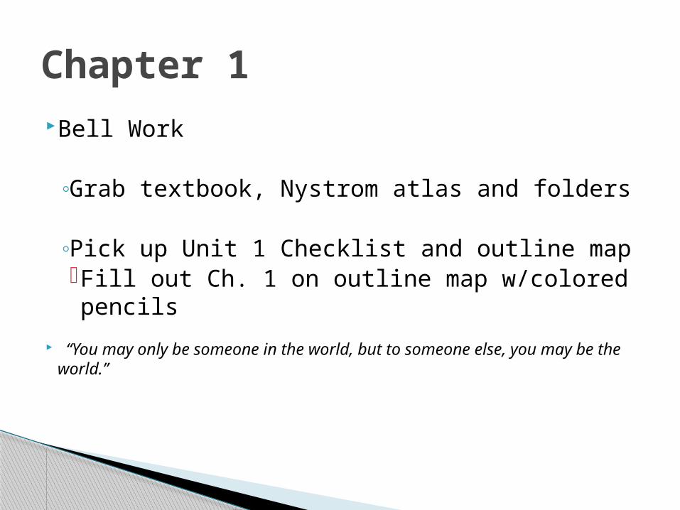
Bell Work
◦Grab textbook, Nystrom atlas and folders
◦Pick up Unit 1 Checklist and outline map Fill out Ch. 1 on outline map w/colored
pencils
“You may only be someone in the world, but to someone else, you may be the world.”
Chapter 1
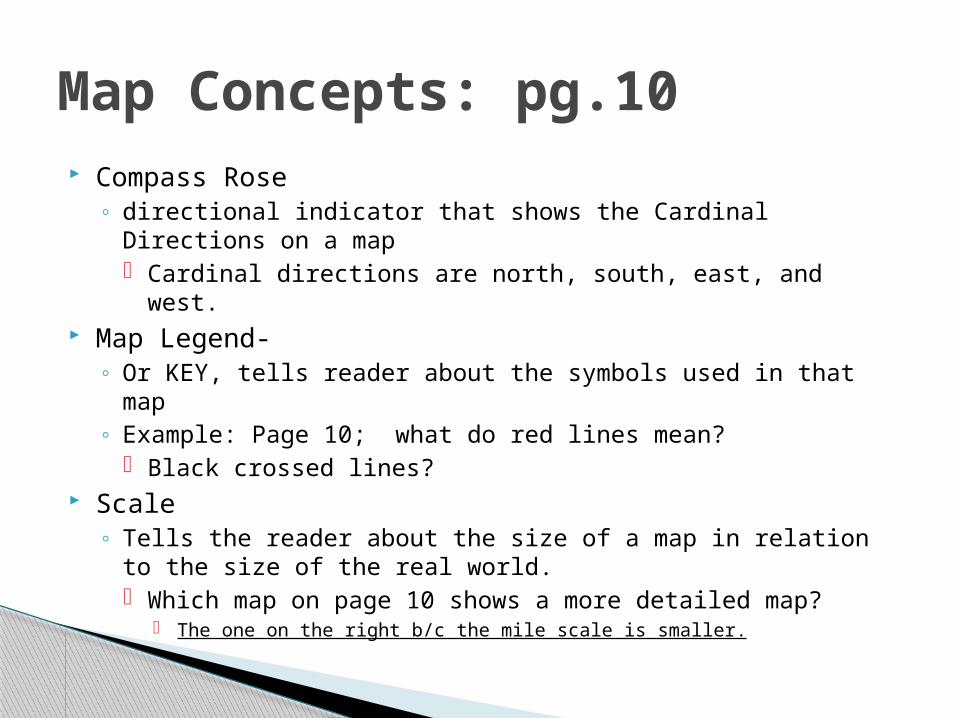
Compass Rose◦ directional indicator that shows the Cardinal Directions on a
map Cardinal directions are north, south, east, and west.
Map Legend-◦ Or KEY, tells reader about the symbols used in that map◦ Example: Page 10; what do red lines mean?
Black crossed lines? Scale
◦ Tells the reader about the size of a map in relation to the size of the real world. Which map on page 10 shows a more detailed map?
The one on the right b/c the mile scale is smaller.
Map Concepts: pg.10
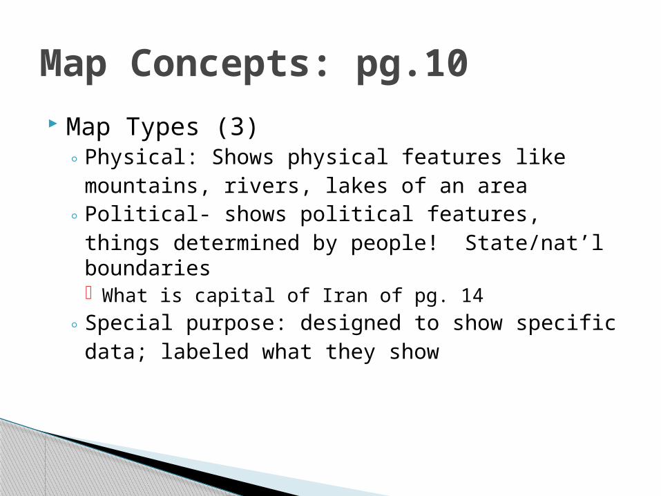
Map Types (3)◦ Physical: Shows physical features like mountains,
rivers, lakes of an area◦ Political- shows political features, things
determined by people! State/nat’l boundaries What is capital of Iran of pg. 14
◦ Special purpose: designed to show specific data; labeled what they show
Map Concepts: pg.10

Hemispheres: means half of a sphere When divided along the equator the earth is
split into two? What would they be called?◦ North/South Hemispheres
When divided along the Prime meridian what would they be called?◦ East/West Hemispheres
Map Concepts: pg.10
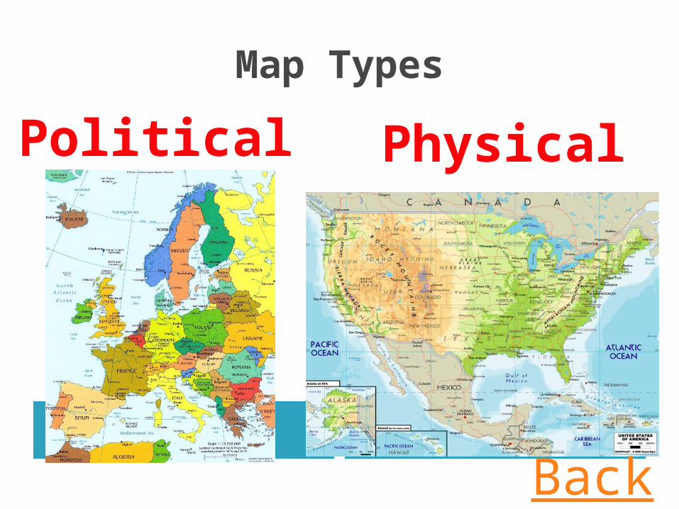
Map Types
Political Physical
Back
Political Physical
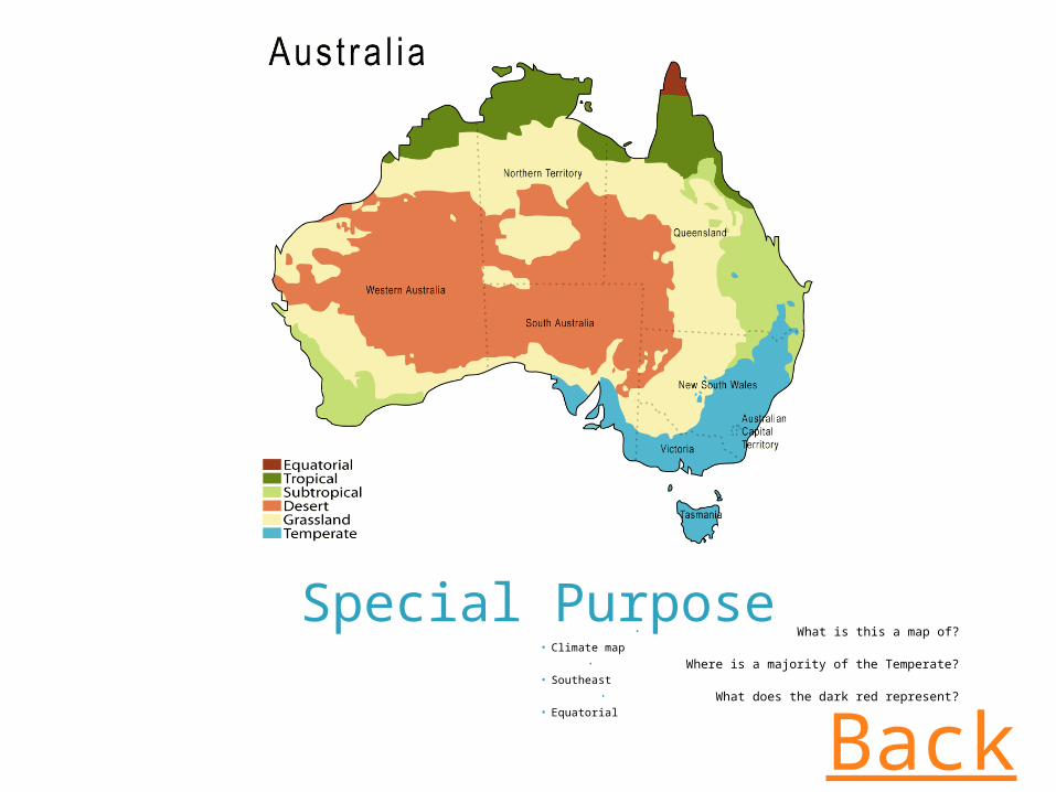
Special Purpose• What is this a map of?
• Climate map• Where is a majority of the Temperate?
• Southeast• What does the dark red represent?
• Equatorial
Back
Latitude◦ Also called parallels bc they run parallel to the
equator Run east to west, measured north and south
Longitude◦ Also called meridians; run from pole to pole
Run north to south, measured east to west
Latitude/Longitude
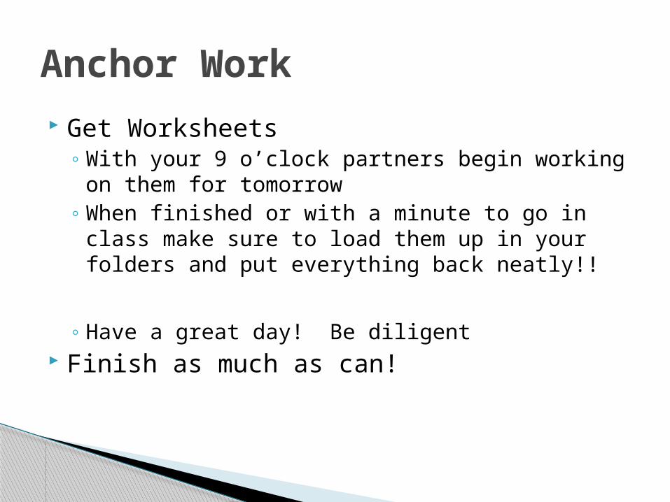
Get Worksheets◦ With your 9 o’clock partners begin working on
them for tomorrow◦ When finished or with a minute to go in class
make sure to load them up in your folders and put everything back neatly!!
◦ Have a great day! Be diligent Finish as much as can!
Anchor Work
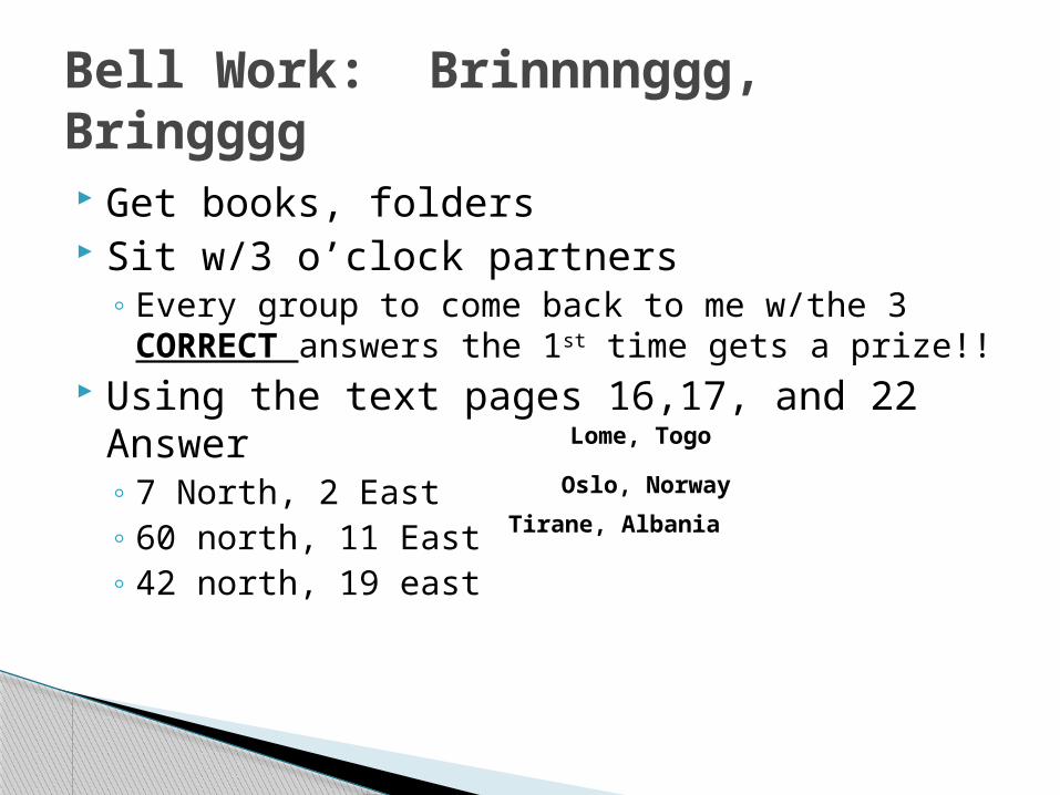
Get books, folders Sit w/3 o’clock partners
◦ Every group to come back to me w/the 3 CORRECT answers the 1st time gets a prize!!
Using the text pages 16,17, and 22 Answer◦ 7 North, 2 East◦ 60 north, 11 East◦ 42 north, 19 east
Bell Work: Brinnnnggg, Bringggg
Lome, Togo
Oslo, Norway
Tirane, Albania
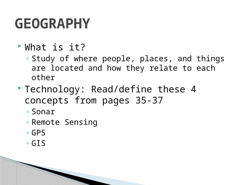
What is it?◦ Study of where people, places, and things are
located and how they relate to each other Technology: Read/define these 4 concepts
from pages 35-37◦ Sonar◦ Remote Sensing◦ GPS◦ GIS
GEOGRAPHY
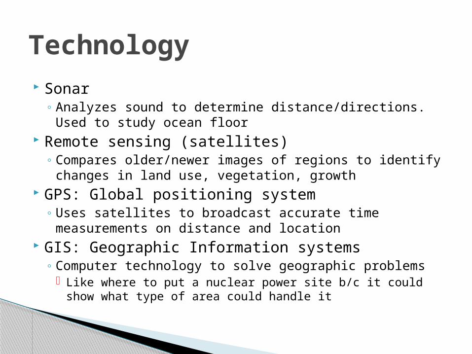
Sonar◦ Analyzes sound to determine distance/directions. Used
to study ocean floor Remote sensing (satellites)
◦ Compares older/newer images of regions to identify changes in land use, vegetation, growth
GPS: Global positioning system◦ Uses satellites to broadcast accurate time
measurements on distance and location GIS: Geographic Information systems
◦ Computer technology to solve geographic problems Like where to put a nuclear power site b/c it could show
what type of area could handle it
Technology
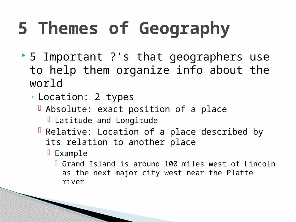
5 Important ?’s that geographers use to help them organize info about the world◦ Location: 2 types
Absolute: exact position of a place Latitude and Longitude
Relative: Location of a place described by its relation to another place Example
Grand Island is around 100 miles west of Lincoln as the next major city west near the Platte river
5 Themes of Geography
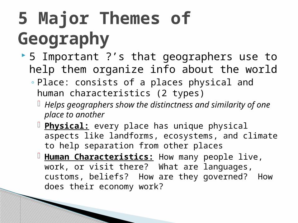
5 Important ?’s that geographers use to help them organize info about the world◦ Place: consists of a places physical and human
characteristics (2 types) Helps geographers show the distinctness and
similarity of one place to another Physical: every place has unique physical aspects
like landforms, ecosystems, and climate to help separation from other places
Human Characteristics: How many people live, work, or visit there? What are languages, customs, beliefs? How are they governed? How does their economy work?
5 Major Themes of Geography
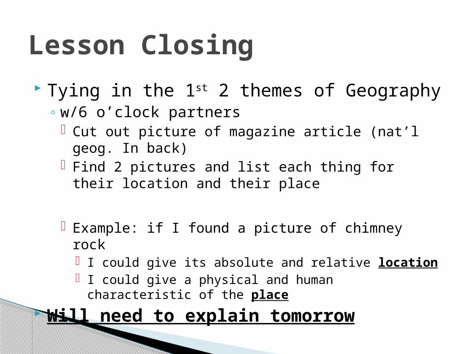
Tying in the 1st 2 themes of Geography◦ w/6 o’clock partners
Cut out picture of magazine article (nat’l geog. In back)
Find 2 pictures and list each thing for their location and their place
Example: if I found a picture of chimney rock I could give its absolute and relative location I could give a physical and human characteristic of the
place
Will need to explain tomorrow
Lesson Closing
Get Books and folders Answer questions
◦ What is the absolute and relative location of Denver and Detroit?
◦ What are 2 of 4 ?s geographers ask for Human characteristics?
◦ What are the two characteristics of a place?◦ What are the two types of location?
Bell Work
Review◦ Location: Has both absolute (lat/long.) and
relative◦ Place: consists of a places physical/human
characteristics
Themes of Geography
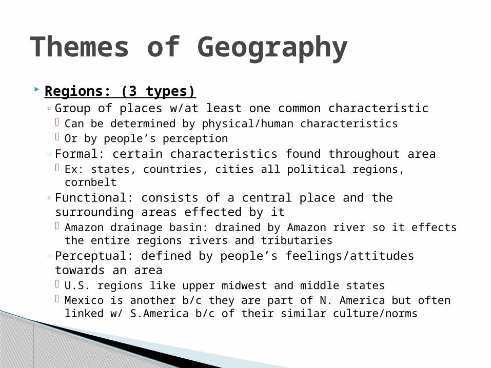
Regions: (3 types)◦ Group of places w/at least one common characteristic
Can be determined by physical/human characteristics Or by people’s perception
◦ Formal: certain characteristics found throughout area Ex: states, countries, cities all political regions, cornbelt
◦ Functional: consists of a central place and the surrounding areas effected by it Amazon drainage basin: drained by Amazon river so it effects the
entire regions rivers and tributaries ◦ Perceptual: defined by people’s feelings/attitudes towards an
area U.S. regions like upper midwest and middle states Mexico is another b/c they are part of N. America but often linked
w/ S.America b/c of their similar culture/norms
Themes of Geography
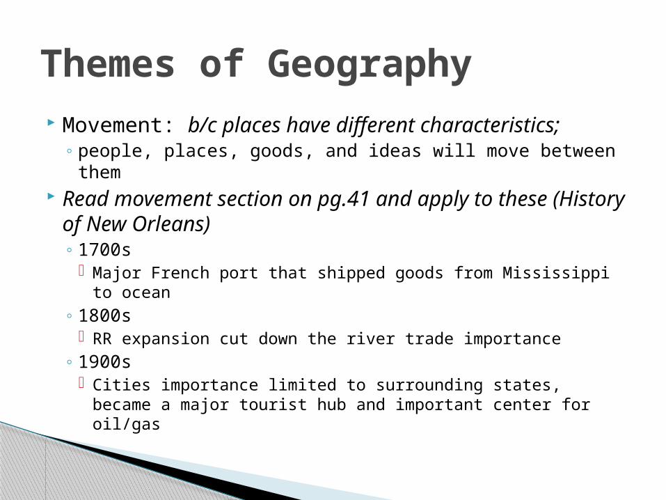
Movement: b/c places have different characteristics; ◦ people, places, goods, and ideas will move between them
Read movement section on pg.41 and apply to these (History of New Orleans)◦ 1700s
Major French port that shipped goods from Mississippi to ocean
◦ 1800s RR expansion cut down the river trade importance
◦ 1900s Cities importance limited to surrounding states, became a
major tourist hub and important center for oil/gas
Themes of Geography
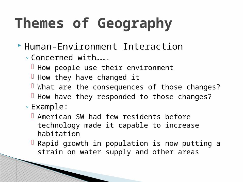
Human-Environment Interaction◦ Concerned with…….
How people use their environment How they have changed it What are the consequences of those changes? How have they responded to those changes?
◦ Example: American SW had few residents before technology
made it capable to increase habitation Rapid growth in population is now putting a strain on
water supply and other areas
Themes of Geography
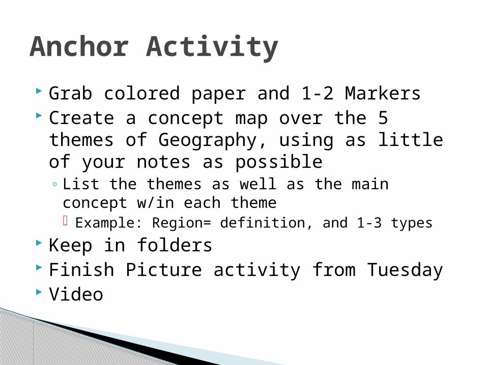
Grab colored paper and 1-2 Markers Create a concept map over the 5 themes of
Geography, using as little of your notes as possible◦ List the themes as well as the main concept w/in
each theme Example: Region= definition, and 1-3 types
Keep in folders Finish Picture activity from Tuesday Video
Anchor Activity

Get book and folders Finish Concept Map and completion check
by me (keep in maps) You and your partner, Find at least the
absolute location of the two pictures you took out of the nat’l geo!
NO ONE SHOULD TAKE A BOOK OUT OF ROOM W/OUT PERMISSION; IF YOU SHARE IT
Bell Work: 10 minutes
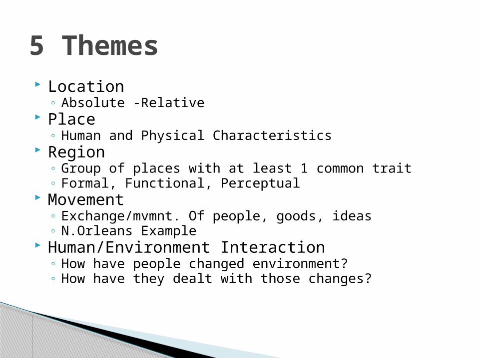
Location◦ Absolute -Relative
Place◦ Human and Physical Characteristics
Region◦ Group of places with at least 1 common trait◦ Formal, Functional, Perceptual
Movement◦ Exchange/mvmnt. Of people, goods, ideas◦ N.Orleans Example
Human/Environment Interaction◦ How have people changed environment?◦ How have they dealt with those changes?
5 Themes
Section 2 Changes within the Earth
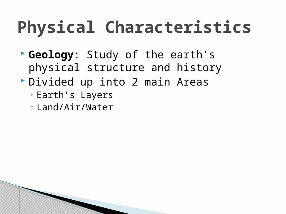
Geology: Study of the earth’s physical structure and history
Divided up into 2 main Areas◦ Earth’s Layers◦ Land/Air/Water
Physical Characteristics
Core (Center)◦ Consists of very hot metal, mainly iron mixed with
some nickel. Inner Core- is thought to be dense and solid Outer Core metal is molten, or liquid
Mantle- around the core◦ Thick layer of rock, est. to be 1,800 mi. thick◦ Rock is mostly solid but some upper levels may be
more flexible
The Earth’s Layers
Crust◦ Thin Rocky surface layer on top◦ Thinnest below oceans (5 mi. thick)◦ Thickest below continents (22+ mi. thick)
The Earth’s Layers (cont’d)
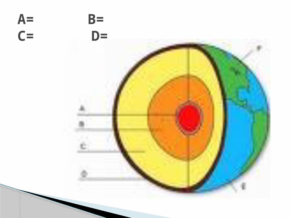
A= B= C= D=
Finish any activity that is in your folder that is not done
We will be speeding up the process in the next few weeks!!
Finish Video while working Stay Quiet
Lesson Closing
Watch 20 Minute Video◦ Physical Features of Earth
25 Minutes of Work time on projects
Differentiated Friday

Grab books and folders Be ready to answer questions about earth’s
layers?◦ What is the center of the earth that is mainly iron
mixed with some nickel? Core
◦ What is the thinnest rocky layer? Crust
◦ The pit of the peach? Inner Core
◦ Up to 1800 miles thick and the biggest of the layers Mantle
Bell Work
Divided into spheres by various physical forms
Lithosphere◦ Soils, rocks, landforms, and other surfaces
Atmosphere◦ Layer of air, water, and substances above the
surface
Land/Air/Water
Hydrosphere◦ Water in oceans, lakes, rivers, and even under the
ground….called a ? Aquifer
Biosphere◦ Is the world of plants, animals, and other living
things that occupy the land/water of the earth
Land/Air/Water (cont’d)
Large landmasses in the oceans are called?◦ Continents
How many Continents are there?◦ 7, N.America, S. America, Asia, Europe, Africa,
Australia, and Antarctica◦ What is the smallest?
Australia
◦ Biggest? Asia
Land/Air/Water
Classified according to differences in relief Relief
◦ The difference in elevation bt. The highest and lowest points
◦ Whether they rise gradually or steeply Major types of Landforms
◦ Mountains, hills, plateaus, and plains
Landform Classifications
Mountains◦ Rise at least 2000 ft above surrounding terrain
Hills◦ Lower, rounded, and generally less steep
Plateau◦ Raised Area, but surface is generally level
Plain◦ Flat or gently rolling area w/few elevation
changes
How are The 4 different
What are the forces that shape an area◦ Two major types:
Volcanism (movement of magma) Movements affecting the earth’s crust.
Physical Processes
Volcanoes
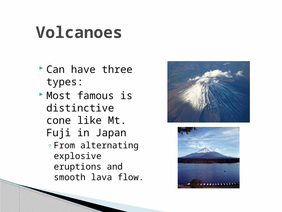
Can have three types:
Most famous is distinctive cone like Mt. Fuji in Japan◦ From alternating
explosive eruptions and smooth lava flow.
Plate Tectonics Theory:◦ Theory that the earths outer shell is not one solid
sheet of rock. ◦ Instead broken into a number of moving plates
varying in size and thickness◦ Slide/move over a hot/flexible layer of the mantle;
helps explain earthquakes/volcanoes
Movements in the Crust
Theory that continents were once joined together in a super-continent
The continents slowly shifted positions due to their movement on what????◦ Their tectonic plates
Continental Drift Theory
Read Plate Tectonics and Continental Drift Answer Question to caption on pg. 47
◦ Moving east/west towards each other◦ Volcanoes/Tornadoes
Work on Section 2 Guided Reading/Review
Lesson Closing
Look at two Theory Questions What was done to support the continental drift
theory?◦ Wegener found identical fossils from various continents
List the three volcanoes types given by the book◦ Small cinder cone, distinctive cone mtns., plateau like
Answer questions to caption on pg. 48◦ Bt. 135 million and 65 million years ago◦ Laurasia and Gondwana
Bell Work
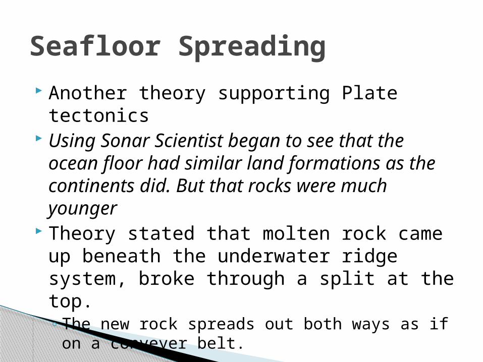
Another theory supporting Plate tectonics Using Sonar Scientist began to see that
the ocean floor had similar land formations as the continents did. But that rocks were much younger
Theory stated that molten rock came up beneath the underwater ridge system, broke through a split at the top.◦ The new rock spreads out both ways as if on a
conveyer belt.
Seafloor Spreading
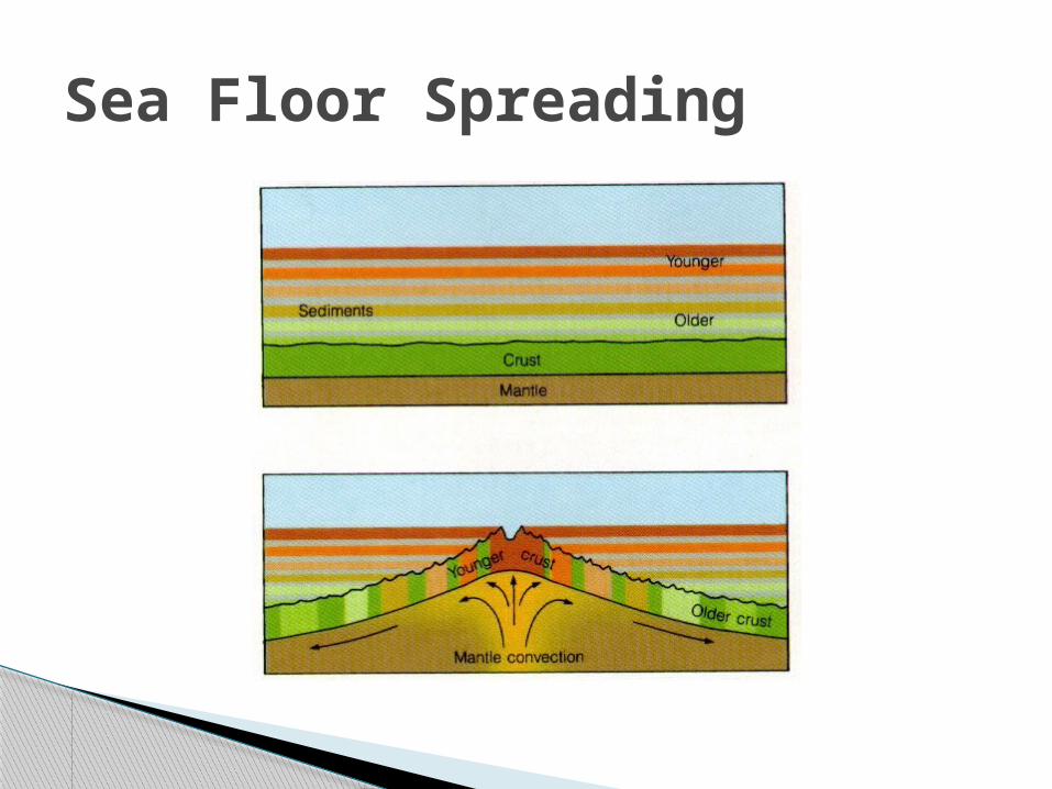
Sea Floor Spreading
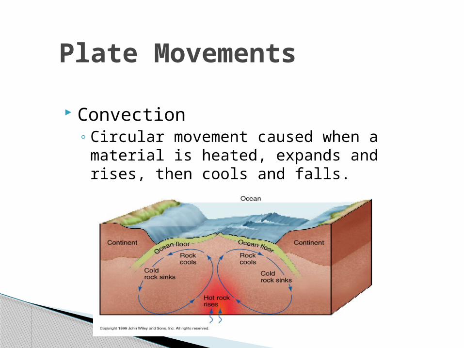
Plate Movements
Convection◦ Circular movement caused when a
material is heated, expands and rises, then cools and falls.
◦ 4 Major Types of Plate movement Spreading, Subduction, Convergence, Faulting
◦ Spreading When plates pull away from each other Form a diverging plate boundary Likely to have rift valleys, earthquakes, or volcanic
action
When Plates Meet
Outcomes when plates meet depends on the density of those plates◦ Oceanic plates (ocean) are denser than
continental plates Subduction- when an oceanic (denser)
plate meets a continental plate it slides beneath the lighter plate.◦ Ocean material will sink/melt; some coming
back up in volcanic action before it cools◦ Cascade Range/Andes Mountains were formed
by this.
When Plates Meet Cont’d
When two oceanic plates collide the denser will slide beneath.◦ Can form an arc of volcanic islands
When two continental plates collide, NEITHER will sink◦ Buckling, folding will result in great Mountain
ranges.
Convergence
When plates slip or grind past one another◦ Example is the San Andreas fault in CA.
Ring of Fire◦ Circle of volcanoes surrounding the pacific ocean,
look on pg. 47.
Faults
Activity With 6 o’clock partners you will be given
two vocab. Words that you need to draw clues on the board for other teams to answer!◦ Will Draw tomorrow
Lesson Closing
Finish Game: Draw clues on board Answer these questions Write down this assignment for Thursday and will
start at end of period!◦ Pg. 58
1-16, 18-19 Time to work on Thursday!!
Bell Work
What are the 4 main sphere’s? And describe◦ Hydrosphere, Biosphere, Lithosphere, Atmosphere
What are the Earth’s 3 main layers?◦ Core, Mantle, Crust
What are the four major types of plate movement, and describe them?◦ Spreading-plates moving away from each other◦ Subduction- oceanic plate going under continental plate◦ Faulting- Plates sliding/grinding past one another◦ Converging- Similar plates colliding with each other
Review
Section 3Changes on the Earth’s Surface
Last Section We talked about what?◦ How internal Forces change the earth◦ Like convection, subduction, continental drifting
ect. This section will be focused on how external
forces of the earth are affecting its appearance
Review
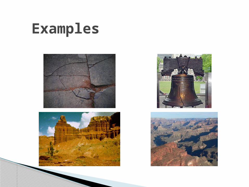
Examples
Weathering◦ The breakdown of rock at or near the earth’s
surface into smaller and smaller pieces.◦ Two Main types:
Mechanical Chemical
Changes on the Surface
Occurs when rock is actually broken or weakened physically
Breaks large masses of rock into boulders, stones, pebbles, sand, and even dust.◦ Frost Wedging: Most common type
When water freezes into ice in a crack in rock Water expands when frozen and slowly widens the
crack Ever frozen a can of pop?
◦ Another type is when seeds rook in rock cracks
Mechanical Weathering
Process of altering a rock’s chemical makeup by changing the minerals that form the rock, or by combining them with new chemical elements
Important Factors◦ Water and Carbon
Dioxide
Water/Carbon Dioxide◦ Combined form a
carbonic acid that can dissolve certain rock (limestone)
◦ Ex.: Caves Type: Chemical Rain
◦ Can destroy forests/water as well as eat surfaces of stone buildings/rock formations.
Chemical Weathering
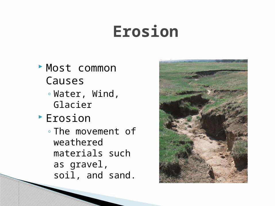
Erosion
Most common Causes◦ Water, Wind,
Glacier Erosion
◦ The movement of weathered materials such as gravel, soil, and sand.

Water Erosion
Moving water is greatest cause of erosion.
Sediment:◦ Small particles of
soil, sand, and gravel carried by rivers/streams. Acts as sandpaper to rock surfaces
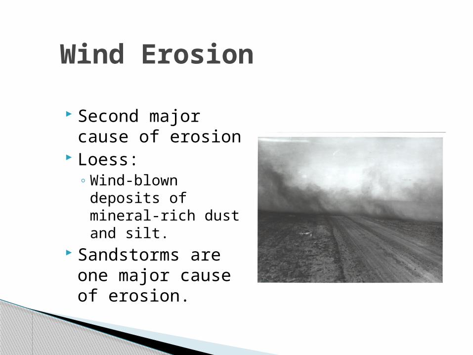
Wind Erosion
Second major cause of erosion
Loess: ◦ Wind-blown
deposits of mineral-rich dust and silt.
Sandstorms are one major cause of erosion.
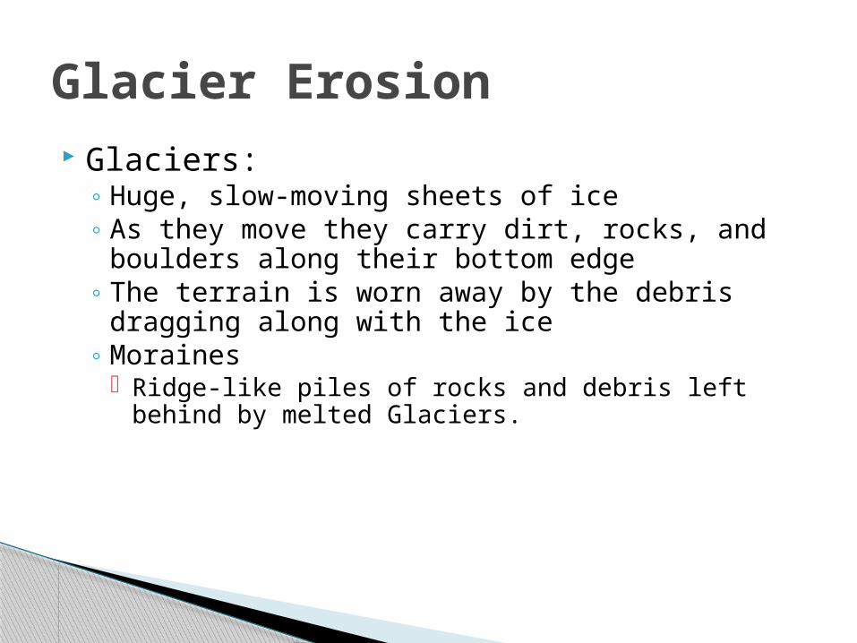
Glaciers:◦ Huge, slow-moving sheets of ice◦ As they move they carry dirt, rocks, and boulders
along their bottom edge◦ The terrain is worn away by the debris dragging
along with the ice◦ Moraines
Ridge-like piles of rocks and debris left behind by melted Glaciers.
Glacier Erosion
What are the 3 main types of erosion? Why is erosion important? Why is sediment important? Where is wind erosion especially important?
◦ What are some reasons its important
◦ Pg. 58 1-16, 18-19 Time to work on Monday!!
Questions