Embed Size (px)
Citation preview
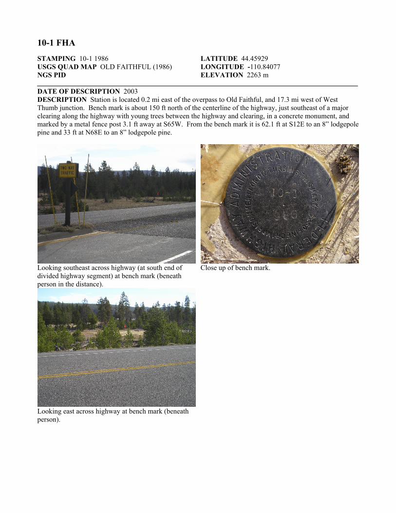
10-1 FHA STAMPING 10-1 1986 USGS QUAD MAP OLD FAITHFUL (1986) NGS PID
LATITUDE 44.45929 LONGITUDE -110.84077 ELEVATION 2263 m
DATE OF DESCRIPTION 2003 DESCRIPTION Station is located 0.2 mi east of the overpass to Old Faithful, and 17.3 mi west of West Thumb junction. Bench mark is about 150 ft north of the centerline of the highway, just southeast of a major clearing along the highway with young trees between the highway and clearing, in a concrete monument, and marked by a metal fence post 3.1 ft away at S65W. From the bench mark it is 62.1 ft at S12E to an 8” lodgepole pine and 33 ft at N68E to an 8” lodgepole pine.
Looking southeast across highway (at south end of divided highway segment) at bench mark (beneath person in the distance).
Looking east across highway at bench mark (beneath person).
Close up of bench mark.