Embed Size (px)
Citation preview

22 Suce Creek Trail HeadLivingston, Montana 59047
Tracy raich, Broker|Owner 406.223.84181808 East River Road, Livingston MT 59047
[email protected] www.tracyraich.com
Copyright © 2010 Raich Montana Properties LLC All Rights Reserved.
NOTICE: The real estate offerings contained herein are subject to errors, omissions, prior sale, change or withdrawal without notice, and approval of
purchase by owner. Information regarding land classifications, acreages, carrying capacities, potential profits, etc., are intended only as general guidelines and
have been provided by sources deemed reliable, but whose accuracy we cannot guarantee. Prospective buyers should verify all information to their satisfaction.
1
Paradise Valley Mountain Retreat Property Details
Physical Address: 22 Suce Creek Trail Head, Livingston, MT 59047
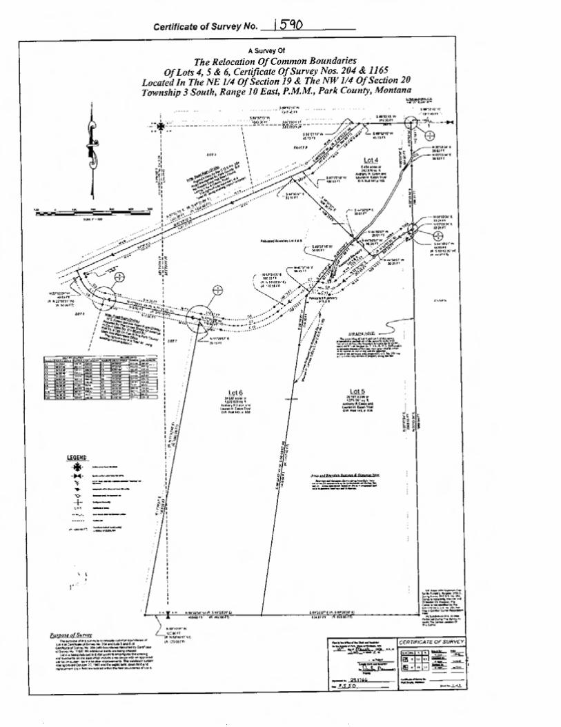
Legal Description: Four Seasons Tracts, Lot 6 COS 1714 Section 20, Township 03 South, Range 10 East
Description: Situated in southwestern Montana’s celebrated Paradise Valley, with the beautiful peaks of the Absaroka Range as its backdrop, this beautiful reclaimed timber home with 28’ vaulted ceilings, noteworthy beam work and massive fireplace built with Harlowton Moss Rock will delight those seeking a recreational retreat or full-time residence. The open floor plan of the main floor accommodates large gatherings with kitchen, living, formal and informal dining areas set around the massive stone fireplace, and two covered porches conveniently placed for optimum use. The spacious master suite, second bedroom, laundry room and ¾ bath is also situated on the main floor which is heated with an in-floor radiant heating system. Upstairs is a sitting area, 2 bedrooms and a full bath with a claw foot tub/shower. Beautiful views of the surrounding mountains and Yellowstone River are showcased from the home, covered porches and acreage. The 2590 square foot basement has been partially finished and includes a TV room with built-in cabinetry, a large room for play area, gym or billiards room, office with built-ins, and a mud room with built-ins, slate flooring and door to outside. The unfinished area includes a rough plumbed bath, and storage area.
The architecturally appealing reclaimed timber garage is conveniently located behind the home providing room for 2 large vehicles, additional storage space and a nice loft area that may be finished for additional living space or guest quarters.
Grounds: This beautiful mountain acreage has a varied topography with mature timber, grassy meadows with wildflowers and landscaping around the home by “Valley of the Flowers”. An underground Rain Bird Series sprinkler system keeps the manicured lawn, flower gardens, and native grasses lush. A French drain was installed underneath the driveway, along the east side of the house directing run-off water away from the house and into the native grass area.
Acreage: 20.53 Acres
Elevation: The elevation of the property ranges from approximately 5200 to 5500 feet

2
Livestock: Horses are allowed
2009 Taxes: $4,403.68
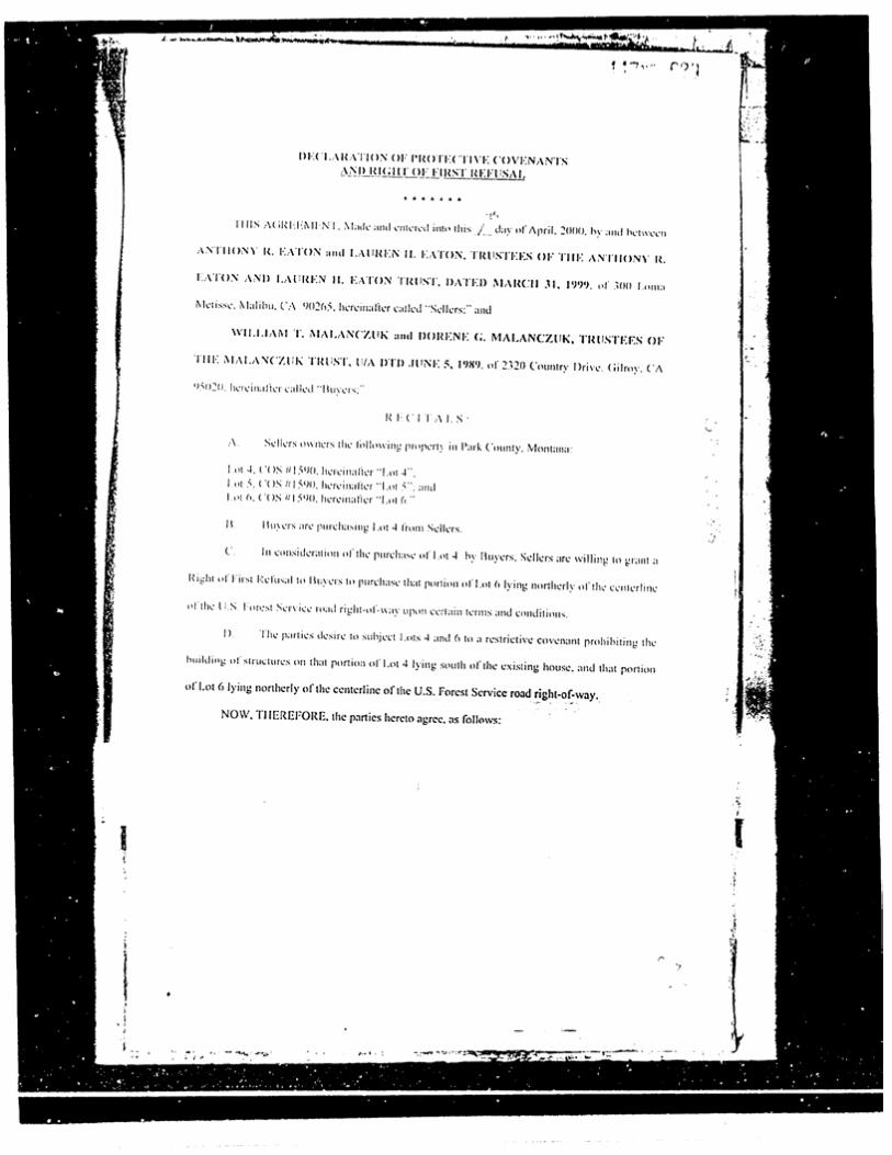
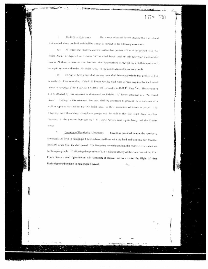
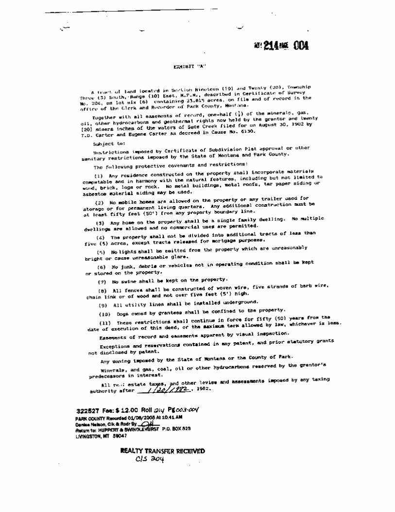
Covenants: Yes
Sanitation: Septic (permit on file)
Domestic Water: Well (580 ft, 17 GPM)
Main Home:
Year Built: 2006
Contractor: Eric Nellis
Square footage: Main Level: 2590 sq ft, Upper Half Story: 1144 sq ft, Basement: 2590 sq ft, Garage: 816 sq ft, plus loft 544 sq ft.
Porches: 370 sq ft, 102 sq ft, 180 sq ft
(Park County Tax Records Main Home/Seller’s Measurement Garage)
Heat: Radiant in-floor heat on main floor (Buderus Heating System), baseboard electric upper level, 1000 gallon propane tank
Roof: Steel (From Bridger Steel)
Exterior: Recycled Timber
Technology: Satellite WiFi & TV
Ceilings: 28’ vaulted ceilings in kitchen, living & dining areas; other ceilings approximately 11’
Bedrooms: 4
Bathrooms: 3
Bath Detail: Master Bath: Mr. Steam Steam Bath generator system, Moen Shower Fixture, Kohler Jet Tub, Dual Sinks, Kohler Fixtures; Downstairs Bathroom: Kohler Sink & Fixture, Moen
Shower Fixture

3
Upstairs Bathroom: Claw Foot Tub/Shower, Sink, Kohler Fixtures
Kitchen Detail: Countertops: Custom Made Wood, Nero Orion Granite from Montana Tile & Stone Co. on island, island designed by Logan Leachman of JLF & Associates, Inc and built by Battle Ridge Construction with wood reclaimed from the Harms Ranch on Willow Creek in Livingston, Custom cabinetry
Appliances: KitchenAid (Stainless) Dishwasher, KitchenAid (Stainless) Bottom-Mount Refrigerator, KitchenAid (Stainless) microwave, KitchenAid (Stainless) Range w/oven & grill, Range Master-Broan NuTone Hood
Laundry: Located on main floor, next to second bedroom and off the second bath. Whirlpool Duet Washer & Dryer front load included.
Basement: Newly finished 357 square foot TV room with built-in cabinetry, carpet, large bonus room with recessed lighting & new carpet, office with built-in shelving & carpet, mud room with built-ins, slate flooring and door to outside. The unfinished area includes a large storage area and a rough plumbed bath.
Floors: Reclaimed wide plank wood
Windows: Jeld Wen
Garage: Oversize 2-car Garage built in 2009 by Battle Ridge Construction, recycled timber, metal roof, 8’ wide shed, 24x34’ with 16x34’ loft area and barn sash windows
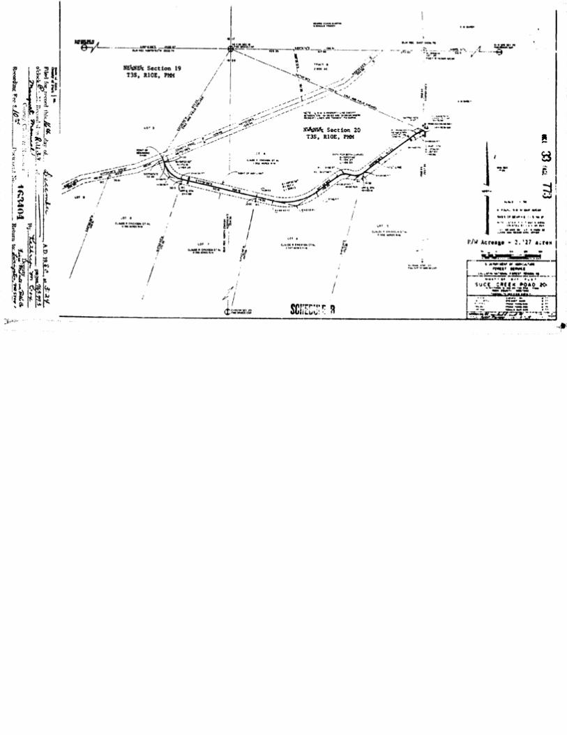
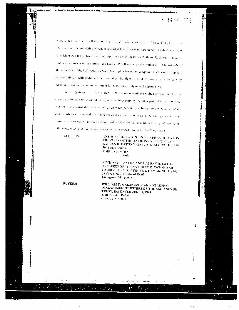
Access/Easements: Access is by way of Forest Service Road, Suce Creek Road No. 201, and is subject to their terms and conditions. Notice of an easement for forest service road and matters incidental thereto, contained in Declaration of Taking; recorded December 16, 1980, in Book/Roll 33, Page 769, under Document #163404.
County road rights-of-way not recorded and indexed as a conveyance in the office of the clerk and recorder pursuant to Title 70, Chapter 21, MCA.
4
Powerline Easement granted to Paul McAdam, recorded September 16, 1959, in Volume 37 of Miscellaneous Records, Page 396, under Document #82378.
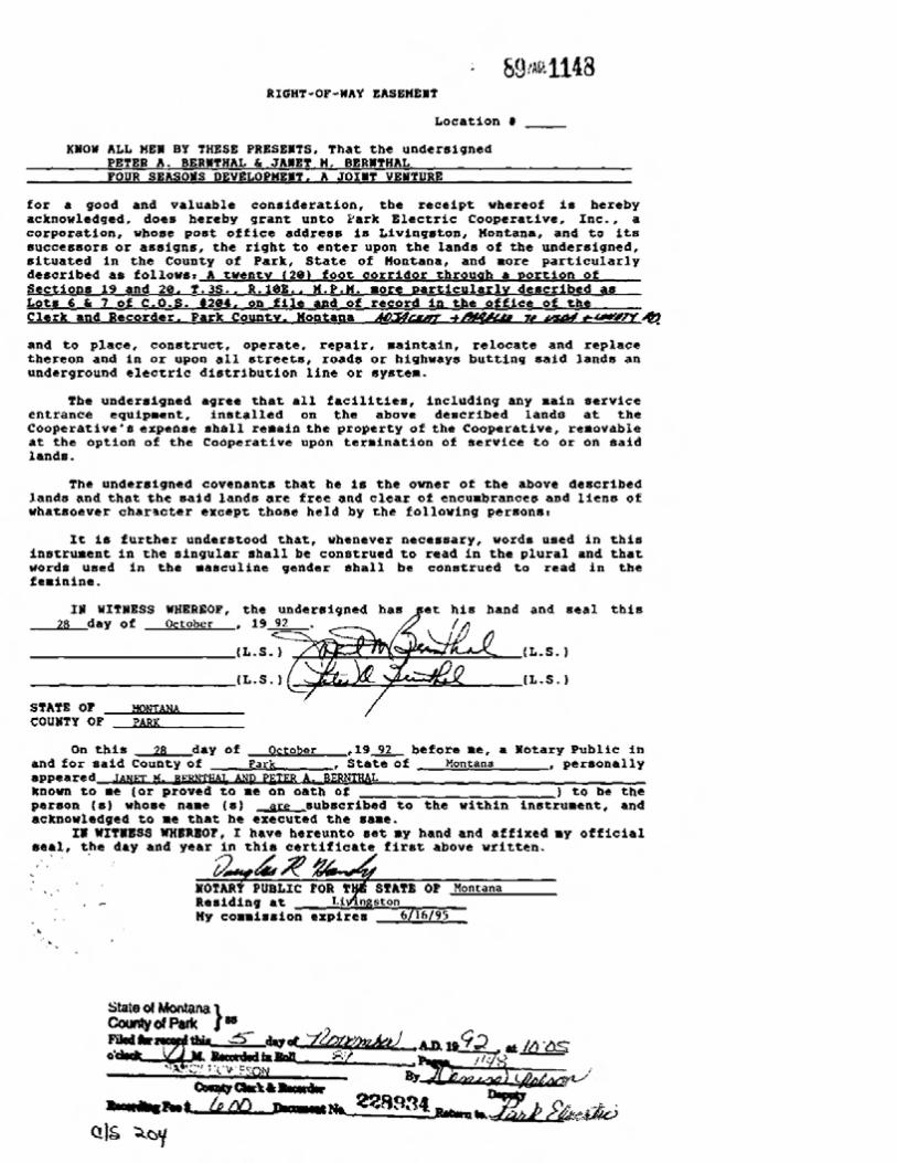
Right-of-way granted to Park Electric Cooperative, Inc., recorded November 5, 1992, in Roll 89, Page 1148, under Document #228934.
Right-of-way granted to Park Electric Cooperative, Inc., recorded May 3, 2005, in Roll 217, Page 1756, under Document #325397.
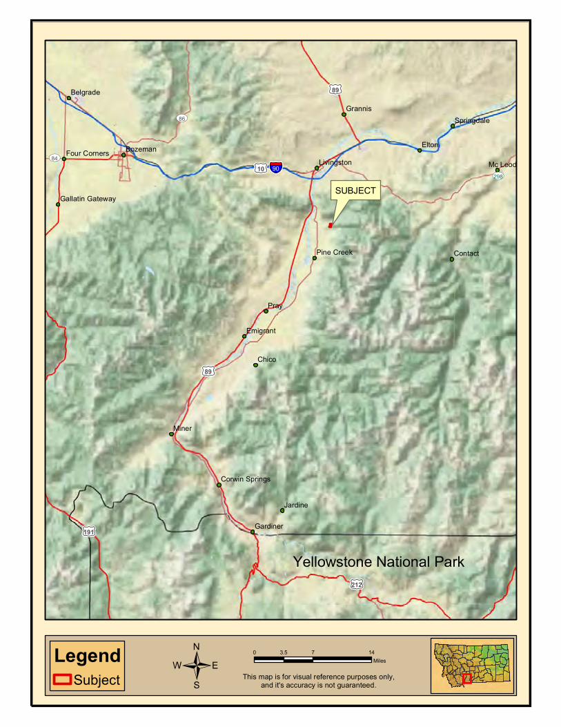
Location Highlights: The property is located in the coveted Suce Creek area of the
Paradise Valley, known for its grassy meadows, lush forest andmountainous elevations tucked privately into a dramatic valleyproviding access to the stunning Absaroka Beartooth Wilderness.
Livingston Montana is the original gateway to Yellowstone NationalPark and was founded in 1882 by the Northern Pacific rail road. Thetown lies on the banks of the Yellowstone River. The spacious valleysand rugged mountains give residents and visitors access to a beautifuland pristine environment for recreation. In town, they enjoy finedining, shops, night-life and art galleries in a down to earth culturalatmosphere missed in so many places. Unique for a western town,Livingston plays host to ranchers, outdoor enthusiasts, artists,writers, actors and entrepreneurs. The Livingston community hasbeen featured in numerous outdoor magazines and has been thefeatured location in several movies including The Horse Whisperer,Rancho Deluxe and A River Runs Through It. Many books have beenwritten about the area and the people (population approximately7500). Most recently (2009), Livingston was featured in AnthonyBourdain’s “No Reservations” television series entitled “Montana”.No Reservations visited several restaurants including 2nd StreetBistro, Murray Bar and the Old Saloon in Emigrant. Anthony spenttime horseback riding, dogging cattle, and of course fly fishing. Toview this program, visit the episode on the Travel Channel:http://www.travelchannel.com/TV_Shows/Anthony_Bourdain/Episodes_Travel_Guides/Episode_Montana?fbid=WPN7n2t6l4m)
The Paradise Valley is almost completely surrounded by public landwith over nine hundred thousand acres of wilderness, nearly twohundred thousand acres of National Forest Land, and approximatelythree million acres of Yellowstone National Park. The AbsarokaBeartooth wilderness is home to Montana’s tallest peak, the steeprocky mass known as Granite Peak. At 12, 799 feet, Granite Peaktowers above the Beartooth Plateau. It anchors the Beartooth Range,which stands higher and more rugged than the Absarokas, with many

5
peaks exceeding 12,000 feet (one of them resembles a bear’s tooth). The Beartooth portion of the range is dominated by vast, treeless plateaus, which fall off sharply into surrounding canyons and small lakes tucked high into glacial cirques. The Absarokas have ample vegetative cover, including dense forests and broad mountain meadows crossed by meandering streams. Mt. Cowan is the tallest peak in the Absaroka Range, topping out at 11,206 feet. Big horn sheep and mountain goats roam about the mostly rugged country, along with elk, deer, moose, coyotes, bears, and wolves. Trout reside in many of the lakes and streams in both ranges.
Fly Fishing - Some of the best trout fishing in the world is found inParadise Valley, and much of it is a short distance from the property.
The Yellowstone River is the longest free-flowing river in the lower48 states flowing some five hundred and fifty miles from its source inthe mountains in Wyoming to its confluence with the Missouri River.There are more than one hundred miles of Blue Ribbon trout waterdownstream from the Yellowstone National Park border withpopulations of brown, rainbow and cutthroat trout. The Yellowstoneis an excellent river to float as well as wade fish. There are threerenowned spring creek fisheries in close proximity to the property.Nelson’s (2 miles), Depuy’s and Armstrong’s (a 15 minute drive) whoeach offer fee fishing on over five miles of some of the best springcreek water in the world. These spring creeks are natural wondersoffering an abundance of wild trout.
www.nelsonsspringcreek.com/ www.depuyspringcreek.com/ www.armstrongspringcreek.com/
Yellowstone National Park (53 miles south) is the birthplace of manyof the finest trout rivers in the western states. The park hosts anabundance of fishing opportunities with over a hundred lakes and athousand miles of streams.
The Suce Creek Trail Head is located 1.3 miles from the property.The trail head is a picnic area and provides access to National Forestand Wilderness lands, and the trail takes you to Baldy Basin and thenorth fork of Deep Creek. There are many other Trail Heads withina driving distance of the property such as Deep Creek, Pine Creek,Mill Creek, Emigrant Gulch, Six Mile, Joe Brown Trail, and EagleCreek.
The area and property provides an abundance of wildlife viewingwhich may include moose, deer, ducks, bear, elk, fox and various
6
birds.
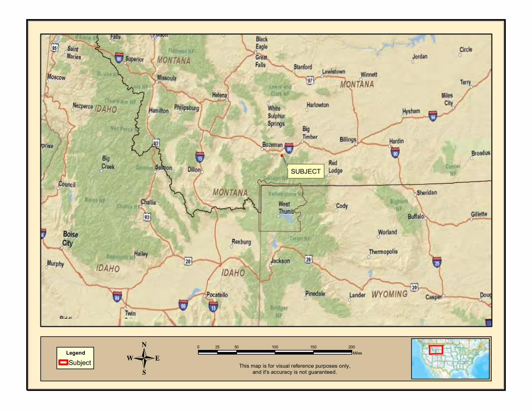
Air Travel: Gallatin Field Airport (BZN) located near Belgrade andBozeman is a 50 minute drive, and is the closest commercial airport.There are two private landing strips within 15 miles of the property.
PRICE REDUCED FROM $1,525,000.00 to $1,275,000.00

Shopping Cart: 0 items [$0.00]
Property Tax ID: 0005652200
Status: Current
Type: RE
Owner: SUMMERS GEORGE ELLIS &
Tax Breakdown:
Year TaxID Statement# Kind Description 1st Half 2nd Half
2013 0005652200 10076 COUNTY AIRPORT $4.95 $4.95
2013 0005652200 10076 COUNTY AMBULANCE COUNTY $27.92 $27.92
2013 0005652200 10076 COUNTY AMBULANCE COUNTY-02 $14.49 $14.49
2013 0005652200 10076 COUNTY ANGELINE $12.65 $12.65
2013 0005652200 10076 COUNTY BRIDGE $34.92 $34.92
2013 0005652200 10076 COUNTY COMP INS $39.64 $39.64
2013 0005652200 10076 COUNTY COUNTY GENERAL $142.60 $142.60
2013 0005652200 10076 COUNTY DISTRICT COURT $18.63 $18.63
2013 0005652200 10076 COUNTY FAIR $13.97 $13.97
2013 0005652200 10076 COUNTY LIBRARY $29.10 $29.10
2013 0005652200 10076 OTHER LIV FIRE $166.18 $166.18
2013 0005652200 10076 SCHOOL LIVINGSTON HIGH SCH $321.63 $321.63
2013 0005652200 10076 SCHOOL LIV. H/S BOND HS2010A $128.05 $128.05
2013 0005652200 10076 SCHOOL LIV. H/S BOND HS2010B $55.70 $55.70
2013 0005652200 10076 COUNTY MUSEUM $13.10 $13.10
2013 0005652200 10076 COUNTY PERMISS MEDICAL $84.40 $84.40
2013 0005652200 10076 SCHOOL PINECREEK BUS DEPR $5.65 $5.65
2013 0005652200 10076 SCHOOL PINECREEK GENERAL $309.24 $309.24
2013 0005652200 10076 SCHOOL PINECREEK TRNSPORT $1.05 $1.05
2013 0005652200 10076 COUNTY PLANNING CITY/COUNTY $7.74 $7.74
2013 0005652200 10076 SCHOOL RETIRE ELEM $167.75 $167.75
2013 0005652200 10076 SCHOOL RETIRE H/S $97.90 $97.90
2013 0005652200 10076 COUNTY ROADS P/C $85.04 $85.04
2013 0005652200 10076 COUNTY SEARCH & RESCUE $5.82 $5.82
2013 0005652200 10076 COUNTY SENIOR CITIZENS $2.91 $2.91
2013 0005652200 10076 COUNTY SHERIFF $194.99 $194.99

Note: Only one search criterion is required (e.g. Parcel # or Owner Name). Entering additional criteria will result in an incompletesearch.
ATTENTION: For Owner Name Searches, you must search LastName FirstName.
The accuracy of this data is not guaranteed. Property Tax data was last updated 2/11/2014.
Send Payments To:
Send Payments to:Park County Treasurer414 East CallenderLivingston, MT 59047PH: (406)222-4121 or 4119
© 2013 Tyler Technologies, Inc. iTax Version 0
2013 0005652200 10076 SCHOOL STATE ELEM $192.08 $192.08
2013 0005652200 10076 SCHOOL STATE EQUALIZATION $232.82 $232.82
2013 0005652200 10076 SCHOOL STATE H/S $128.05 $128.05
2013 0005652200 10076 SCHOOL STATE TRANSPRT $18.86 $18.86
2013 0005652200 10076 STATE UNIVERSITY $34.92 $34.92
2013 0005652200 10076 OTHER WEED CONTROL $9.31 $9.31
2013 0005652200 10076 OTHER Soil & Water $8.73 $8.73
2013 0005652200 10076 OTHER Landfill $6.00 $6.00
2013 0005652200 10076 OTHER REFUSE ASSESSMENT $71.50 $71.50
1st Half Total: $2,688.292nd Half Total: $2,688.29
Total Tax: $5,376.58

0 0.3 0.60.15Miles
LegendSubjectUS Bureau of Land ManagementUS Forest Service
n¡Trailhead
Hiking Trail
n¡
This map is for visual reference purposes only,and it's accuracy is not guaranteed./
0 50 100 150 20025MilesLegend
Subject
SUBJECT
- This map is for visual reference purposes only,and it's accuracy is not guaranteed.
0 7 143.5MilesLegend
Subject
Pray
Miner
Elton
Chico
Mc Leod
Jardine
Grannis
Contact
Bozeman
Emigrant
Gardiner
Belgrade
Springdale
Pine Creek
LivingstonFour Corners
Corwin Springs
Gallatin Gateway
§̈¦90
£¤89
£¤212
£¤191
£¤10
£¤89
UV86
UV84
UV298
This map is for visual reference purposes only,and it's accuracy is not guaranteed./
SUBJECT
Yellowstone National Park

subject property


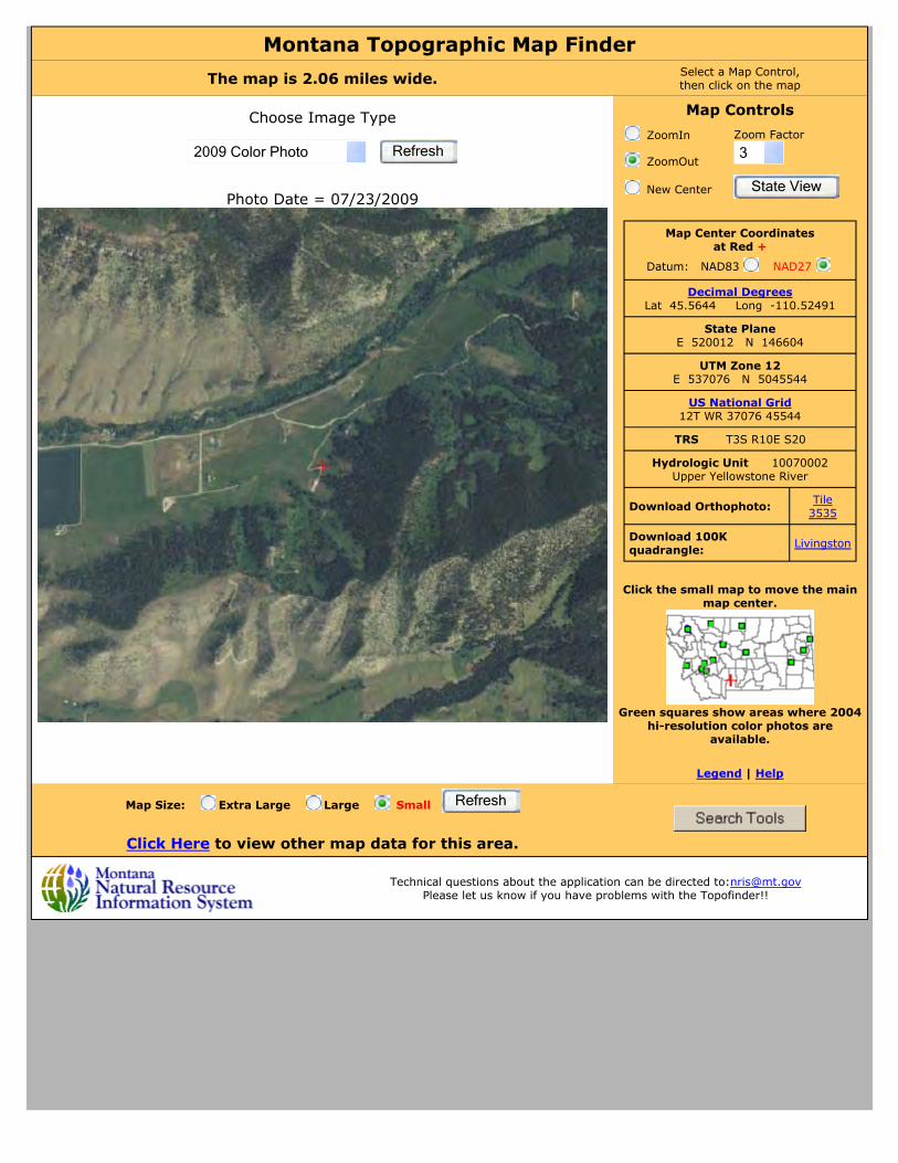
Montana Topographic Map FinderThe map is 2.06 miles wide. Select a Map Control,
then click on the map
Photo Date = 07/23/2009
Choose Image Type
2009 Color Photo Refresh
Map Controls
Click the small map to move the main map center.
Green squares show areas where 2004
hi-resolution color photos are available.
Legend | Help
ZoomIn Zoom Factor
3 ZoomOut
New Center State View
Map Center Coordinates at Red +
Datum: NAD83 NAD27
Decimal Degrees Lat 45.5644 Long -110.52491
State Plane E 520012 N 146604
UTM Zone 12 E 537076 N 5045544
US National Grid 12T WR 37076 45544
TRS T3S R10E S20
Hydrologic Unit 10070002 Upper Yellowstone River
Download Orthophoto: Tile 3535
Download 100K quadrangle: Livingston
Map Size: Extra Large Large Small
Click Here to view other map data for this area.
Refresh
Technical questions about the application can be directed to:[email protected] Please let us know if you have problems with the Topofinder!!

MONTANA WELL LOG REPORT Other Options
This well log reports the activities of a licensed Montana well driller, serves as the official record of work done within the borehole and casing, and describes the amount of water encountered. This report is complied electronically from the contents of the Ground-Water Information Center (GWIC) database for this site. Acquiring water rights is the well owner's responsibility and is NOT accomplished by the filing of this report.
Plot this site on a topographic mapView scanned well log (1/15/2010 1:37:42 PM)
Site Name: GWIC Id: 223280 DNRC Water Right: C30020131
Section 1: Well OwnerOwner Name Mailing AddressP.O. BOX 1047 City State Zip CodeNIANTIC CT 06357
Section 2: LocationTownship Range Section Quarter Sections
03S 10E 1 SE¼ NW¼ SW¼ NW¼ County Geocode
PARKLatitude Longitude Geomethod Datum45.5644 110.5249 NAV-GPS NAD27
Altitude Method Datum Date
Addition Block Lot
Section 3: Proposed Use of WaterDOMESTIC (1)
Section 4: Type of WorkDrilling Method: ROTARY
Section 5: Well Completion DateDate well completed: Wednesday, January 25, 2006
Section 6: Well Construction DetailsBorehole dimensions From To Diameter
0 580 8Casing
From To DiameterWall Thickness
Pressure Rating Joint Type
-3 113.5 8 0.250 WELDED A53B STEEL20 580 4.5 200.00 SPLINE PVC-SCHED 40Completion (Perf/Screen)
From To Diameter# of Openings
Size of Openings Description
560 580 4.5 40 .125 X 6 SAW SLOTSAnnular Space (Seal/Grout/Packer)
From To DescriptionCont. Fed?
0 20 BENTONITE GRANULES Y
Section 7: Well Test Data
Total Depth: 580 Static Water Level: 481 Water Temperature:
Air Test *
17 gpm with drill stem set at 575 feet for 1 hours. Time of recovery 0.5 hours. Recovery water level 481 feet. Pumping water level feet.
* During the well test the discharge rate shall be as uniform aspossible. This rate may or may not be the sustainable yield of the well. Sustainable yield does not include the reservoir of the well casing.
Section 8: Remarks
Section 9: Well LogGeologic SourceUnassigned From To Description
0 58 CLAY, BROWN, SANDY, MIXED W/ LIMESTONE ROCK58 110 LIMESTONE, YELLOW TAN
110 415 LIMESTONE, ORANGE, SOME CLAYS, ITERMITTENTFRACTURES
415 437 LIMESTONE, REDDISH BROWN437 520 LIMESTONE, INTERMITTENT FRACTURES520 580 LIMESTONE, MAJOR FRACTURES, POOR CIRCULATION
Driller CertificationAll work performed and reported in this well log is in compliance with the Montana well construction standards. This report is true to the best of my knowledge.
Name:Company: POTTS DRILLING INC
License No: WWC-512Date Completed: 1/25/2006