Embed Size (px)
Citation preview
6.4.4: Summarize the relationship of the movement of air masses, high and low pressure systems, and
frontal boundaries to storms (including thunderstorms, hurricanes, and tornadoes) and
other weather conditions.
Air Masses, Pressure Systems, and Frontal
Boundaries
How do air masses, pressure systems, and fronts influence weather conditions?
Essential Question
Huge bodies of air that form over water or land in tropical and polar regions.
Temperature and humidity conditions (for example, warm or cold air, humid or dry air) within the air masses as they form are important to the resulting weather conditions when air masses move.
Air Masses
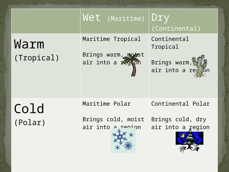
Classifying Air MassesWet (Maritime) Dry
(Continental)
Warm(Tropical)
Maritime Tropical
Brings warm, moist air into a region
Continental Tropical
Brings warm, dry air into a region
Cold(Polar)
Maritime Polar
Brings cold, moist air into a region
Continental Polar
Brings cold, dry air into a region
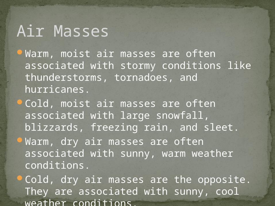
Warm, moist air masses are often associated with stormy conditions like thunderstorms, tornadoes, and hurricanes.
Cold, moist air masses are often associated with large snowfall, blizzards, freezing rain, and sleet.
Warm, dry air masses are often associated with sunny, warm weather conditions.
Cold, dry air masses are the opposite. They are associated with sunny, cool weather conditions.
Air Masses
As theses air masses move and collide with each other, fronts form at the boundaries between the air masses.
Depending upon the air masses involved, a warm front, cold front, stationary front, or occluded front can develop.
Fronts
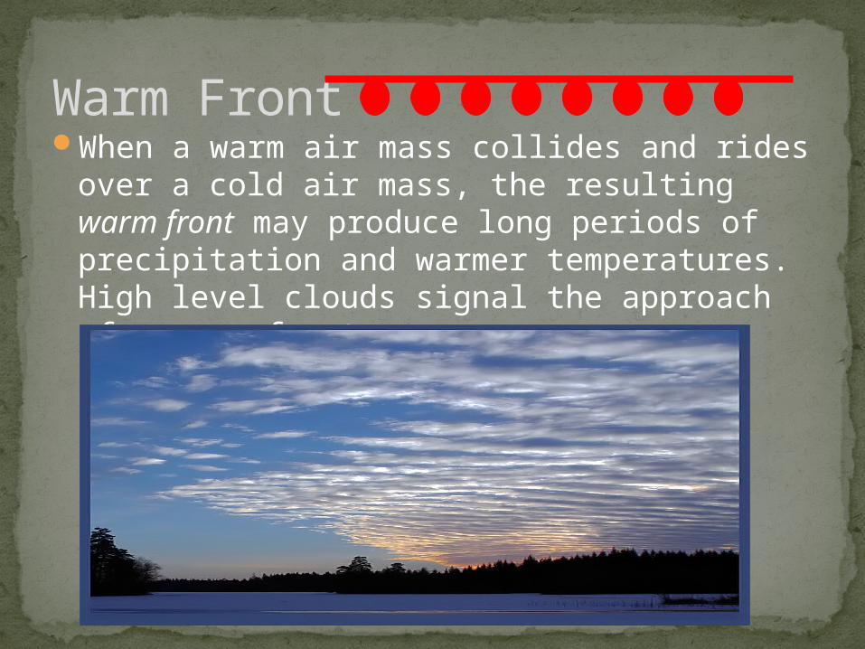
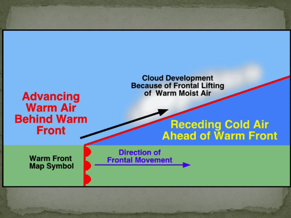
When a warm air mass collides and rides over a cold air mass, the resulting warm front may produce long periods of precipitation and warmer temperatures. High level clouds signal the approach of a warm front.
Warm Front
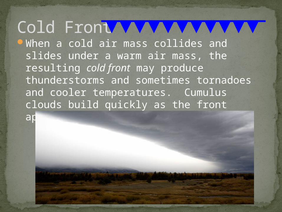
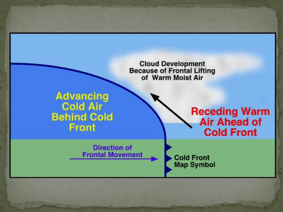
When a cold air mass collides and slides under a warm air mass, the resulting cold front may produce thunderstorms and sometimes tornadoes and cooler temperatures. Cumulus clouds build quickly as the front approaches.
Cold Front
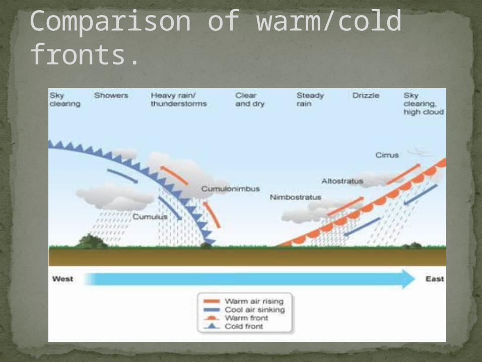
Comparison of warm/cold fronts.
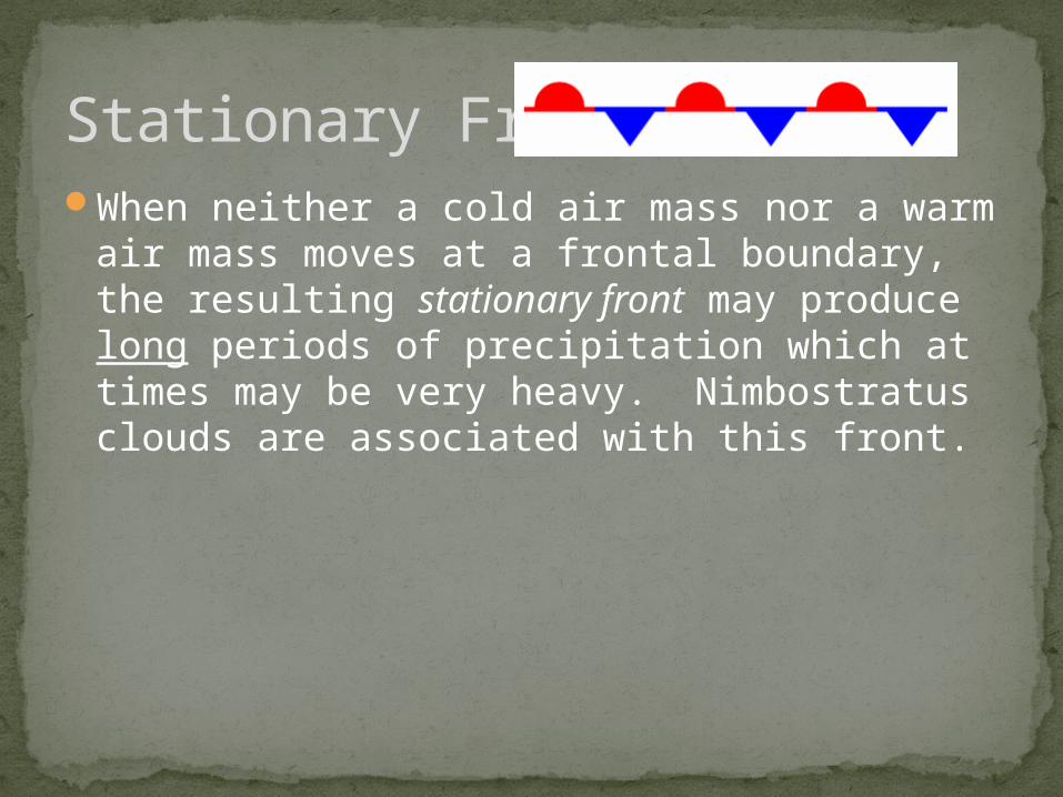
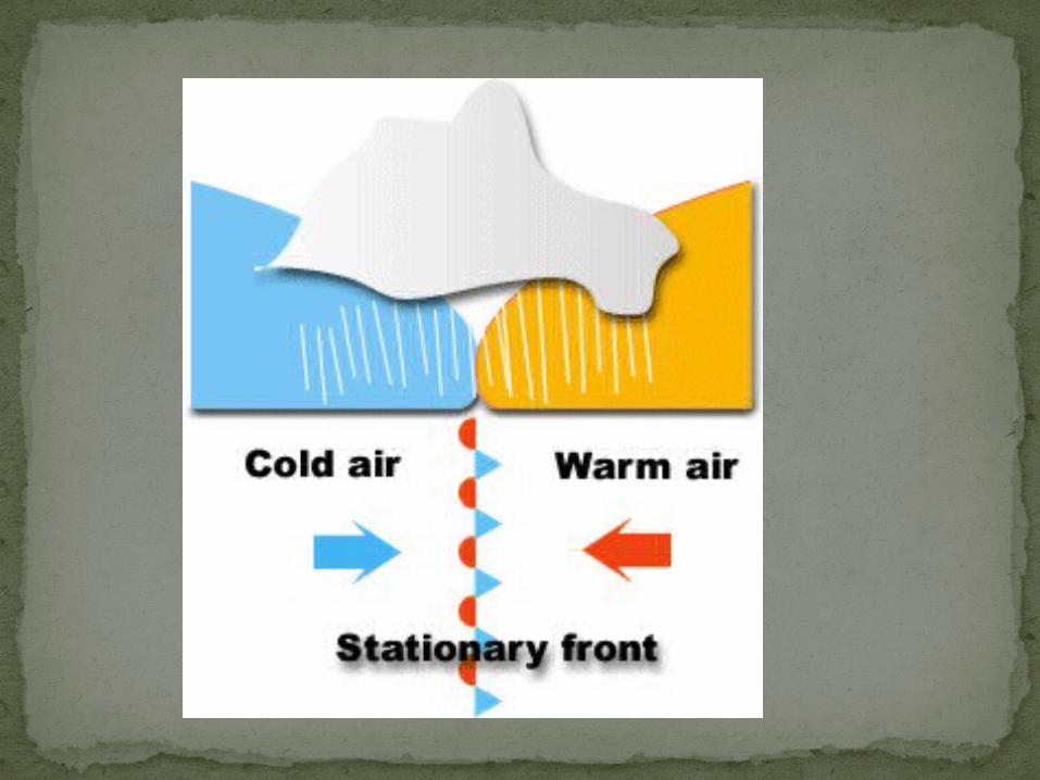
When neither a cold air mass nor a warm air mass moves at a frontal boundary, the resulting stationary front may produce long periods of precipitation which at times may be very heavy. Nimbostratus clouds are associated with this front.
Stationary Front
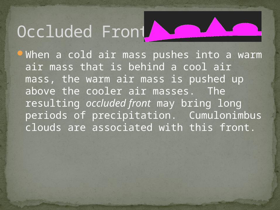
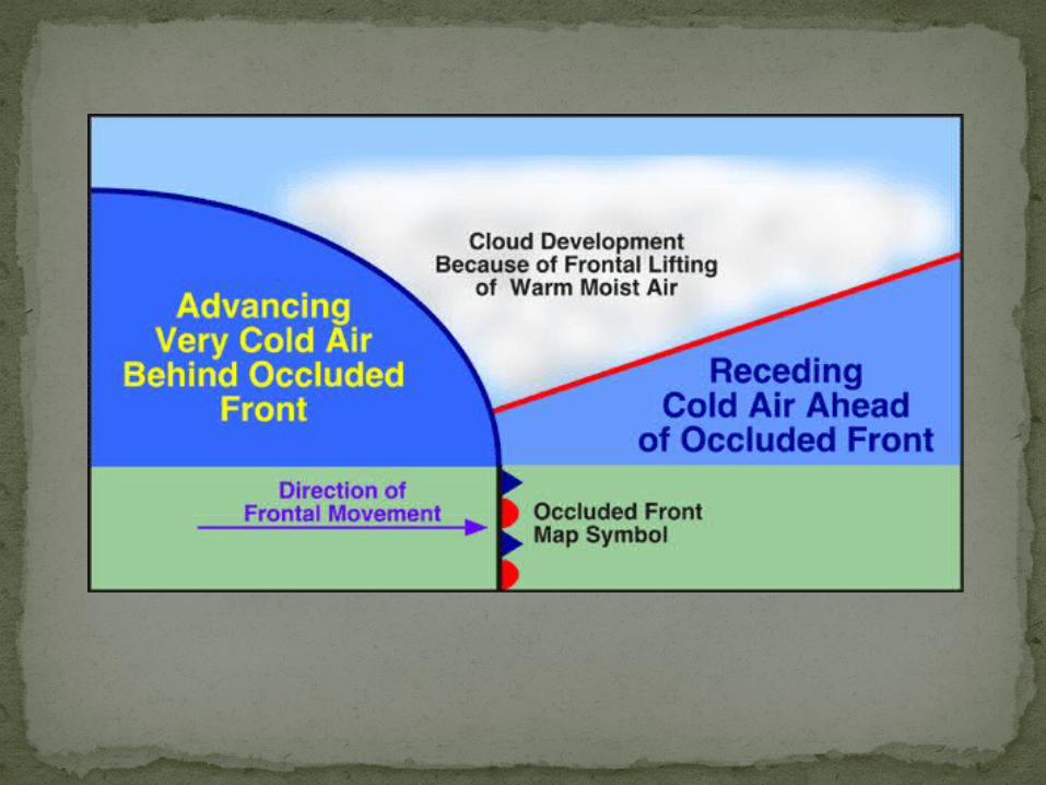
When a cold air mass pushes into a warm air mass that is behind a cool air mass, the warm air mass is pushed up above the cooler air masses. The resulting occluded front may bring long periods of precipitation. Cumulonimbus clouds are associated with this front.
Occluded Front
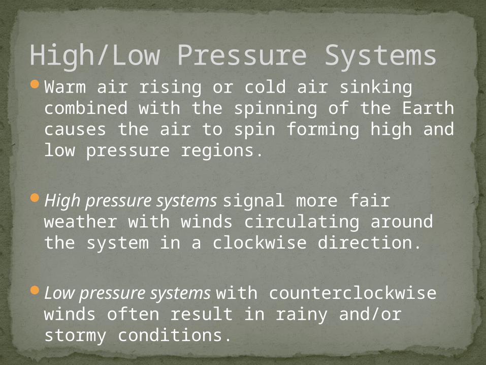
High/Low Pressure SystemsWarm air rising or cold air sinking combined
with the spinning of the Earth causes the air to spin forming high and low pressure regions.
High pressure systems signal more fair weather with winds circulating around the system in a clockwise direction.
Low pressure systems with counterclockwise winds often result in rainy and/or stormy conditions.
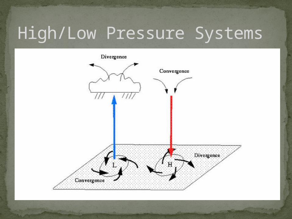
High/Low Pressure Systems
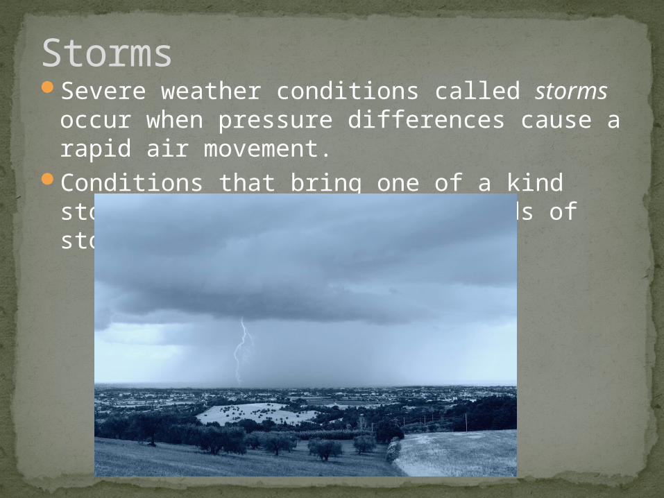
Severe weather conditions called storms occur when pressure differences cause a rapid air movement.
Conditions that bring one of a kind storms can also cause other kinds of storms in the same area.
Storms
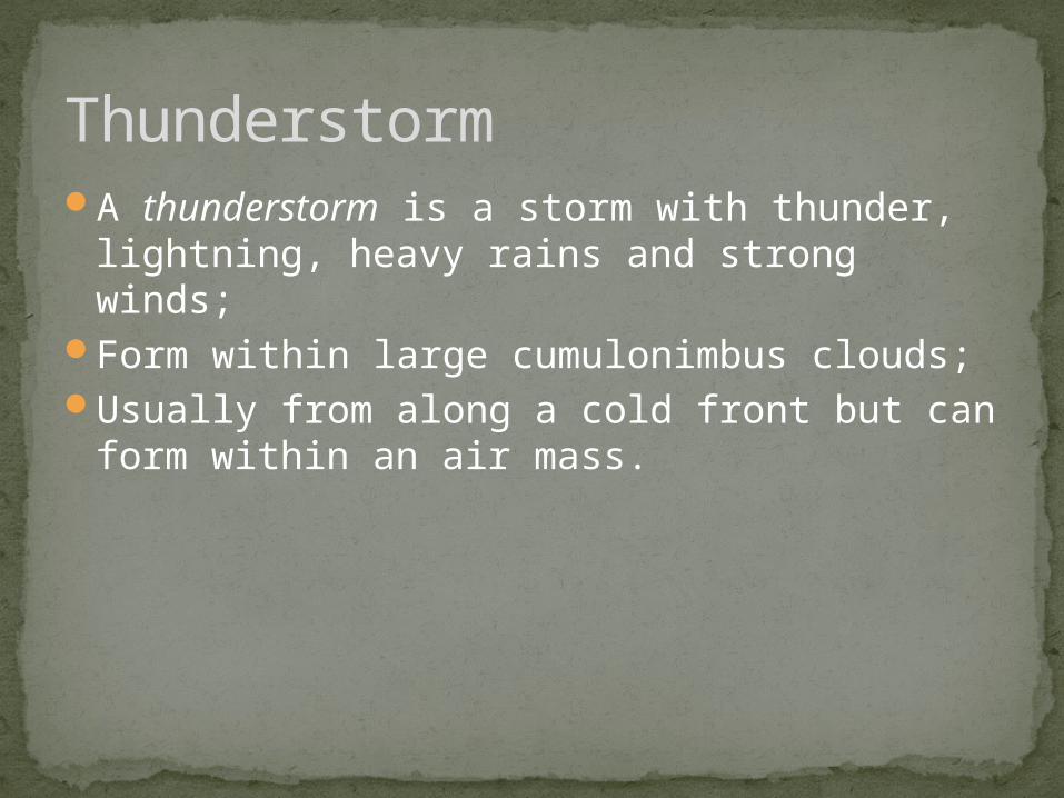
A thunderstorm is a storm with thunder, lightning, heavy rains and strong winds;
Form within large cumulonimbus clouds;Usually from along a cold front but can form
within an air mass.
Thunderstorm
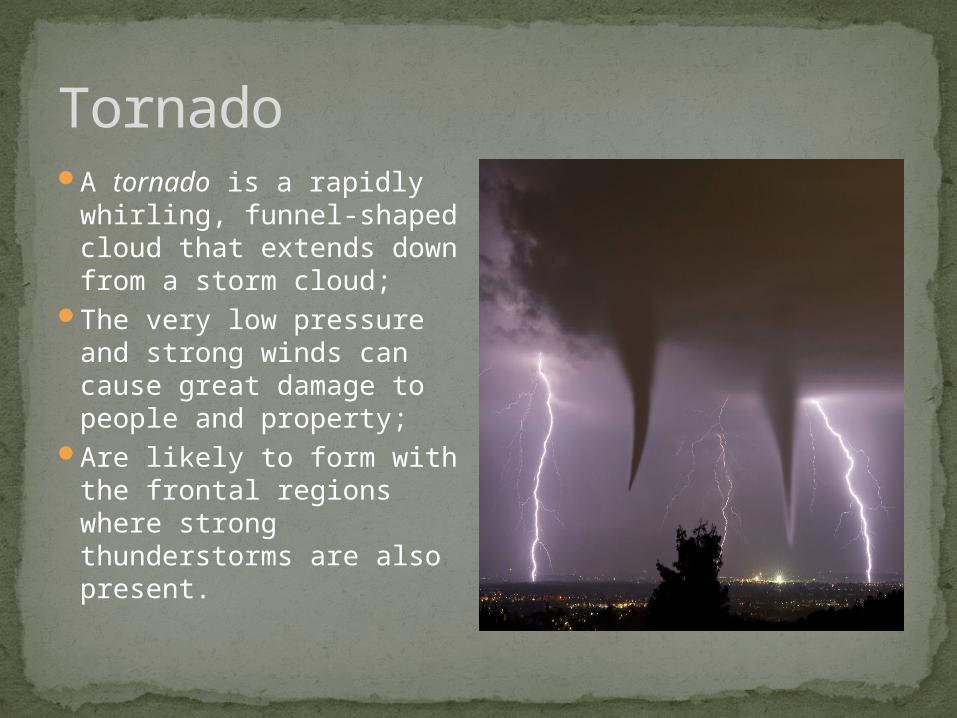
TornadoA tornado is a rapidly
whirling, funnel-shaped cloud that extends down from a storm cloud;
The very low pressure and strong winds can cause great damage to people and property;
Are likely to form with the frontal regions where strong thunderstorms are also present.
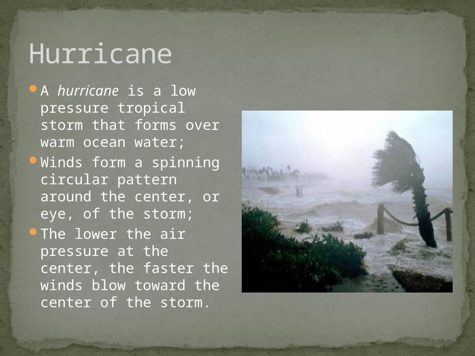
HurricaneA hurricane is a low
pressure tropical storm that forms over warm ocean water;
Winds form a spinning circular pattern around the center, or eye, of the storm;
The lower the air pressure at the center, the faster the winds blow toward the center of the storm.
Since weather is a condition of Earth’s atmosphere at any time, weather conditions may include fair weather, showers or light rain, humid conditions, clear skies with cold conditions, days of clouds and precipitation, or others that do not necessarily involve storms.
Other weather conditions