Embed Size (px)
Citation preview

For Property Owners in Red Hook, Sunset Park, and Gowanus
A Guide to New National Flood Maps & New National Flood Insurance
Program Premiums and Requirements
From the FEMA video, FEMA Region 2 Coastal Outreach.
http://www.youtube.com/watch?feature=player_embedded&v=LJfKunR3AmI
“If you live or work in a coastal area, you have a responsibility to know your risk, know your role, and take action to reduce your flood risk.”

This Guide can be downloaded from http://www.montgomery.nysenate.gov
and can also be found on http://www.facebook.com/NYStateSenatorVelmanetteMontgomery

3 | P a g e
Dear Neighbors,
At the time that super storm SANDY hit our communities, FEMA was in the process of updating the
nation’s flood maps for the first time in over 25 years. Many things have changed in that time, including
where people have chosen to live and, more importantly, weather patterns and the increasing likelihood
of sea rise from global warming. The new maps are still under official review and will not be officially in
use for two years, but I feel property owners in affected areas need to know right now what is being
planned because it will greatly impact your plans for rebuilding.
In this guide you will find:
A short summary of what FEMA is proposing, and why
What this will mean to future flood insurance rates
What this will mean to your rebuilding options
A paper from FEMA explaining the new map procedures in more detail, along with links to other
documents and an excellent tool for examining your precise elevation requirements
Slides from a recent FEMA presentation that can inform your understanding of the challenging
choices ahead.
What FEMA is Proposing The FEMA maps upon which National Flood Insurance Program rates rely are called Flood Insurance
Rate Maps (FIRM.) Some of these maps are over 25 years old. New FIRM maps are being developed by
FEMA. FEMA has issued preliminary elevation maps that will be part of the process of developing new
maps; these are called Advisory Base Flood Elevations (ABFE.)
The process for developing the new maps will take several years, but preliminary maps are expected to
be issued in late summer. This will be followed by a 90 day public comment period. FEMA will then
analyze feedback and develop the new Flood Insurance Rate Maps. The new maps will provide a much
better picture of current flood risk than the existing maps.
The new guidelines will apply not only to areas near the shore, but to areas near inland waterways like
the Hudson and East Rivers, and the Gowanus Canal.
What This Will Mean to Your Insurance Rates As a result of the Biggert-Waters Act, in several years the National Flood Insurance program will no
longer be subsidized by the Federal government to the extent it is today. That in itself is going to lead to
higher premiums. But your NFIP rates are going to be based on how you respond to the new Base Flood
Elevations. As the name implies, these maps will detail how high you should elevate your property
above the expected flood levels.

4 | P a g e
From the FEMA presentation (section 3 of this document):
What This Will Mean to Your Rebuilding Options As you can see from the above illustration, your flood insurance premiums are totally dependent on
how you react to the new elevations levels being proposed by FEMA. Yes, they are saying that you
should, if possible, elevate your building. The Base Flood Elevation is measured from the base of your
building, as though it was constructed on a platform. It could be elevated on pillars. This may not be
practical for many structures in our area.
I Have a Row House: How Can I Elevate That?
FEMA is proposing that structures that cannot be physically raised to 3 feet above the Base Flood
Elevation be “elevated” by sacrificing the basement of the structure, and perhaps more. The areas that
are sacrificed could not be left empty: they would have to be filled in with channels left in them from
front to back for the flood waters to run through, as shown in the above illustration.
To make up for this sacrificed space New York City is relaxing the zoning requirements to allow property
owners to build additional space on top of their buildings.
As you can see already, there is much to be considered in response to the new maps in development. In
the material that follows you will find a lot to think about, and many resources you can call on with
questions. If my office can be of service please reach out to us!
Sincerely,
Senator Velmanette Montgomery
Senator Velmanette Montgomery
25th Senate District
Flow
Channels

5 | P a g e
Monday, February 25, 2013
DR-4085-NY
FEMA Helpline: 800-621-FEMA (3362)
FEMA News Desk 571-449-1621
Fact Sheet
ABFE 101
What is an Advisory Base Flood Elevation (ABFE)?
Advisory Base Flood Elevations (ABFEs) provide a better picture of current flood risk than the
existing Flood Insurance Rate Maps (FIRMs), which in some cases are more than 25-years old.
The new ABFEs are the recommended elevation of the lowest floor of a building. Some
communities may require that the lowest floor be built above the ABFE.
New York’s ABFEs are based on FEMA coastal studies that were completed before Hurricane
Sandy. The studies include data that has been collected and analyzed over a number of years.
Though advisory now, eventually information used to develop the ABFEs will be incorporated
into official Flood Insurance Rate Maps.
Where do I find my ABFE?
FEMA Region II created a website with a tool to help you find the ABFE for your property. It is
at www.region2coastal.com/sandy/table
Will I be able to find my exact base flood elevation?
You can find the ABFE, or recommended lowest floor elevation for your home, at
www.region2coastal.com/sandy/table . If the ABFE marker on the website does not find your
exact house address, but it is close, click on the marker and drag it over your home’s location to
find the ABFE.
How can I determine my current home elevation?
A. It can be found on your elevation certificate (if you have a certificate).
B. FEMA encourages you to consult your local building officials who may have existing elevations
from the original building permit for your house.
C. Hire a surveyor to determine your current home elevation level.

6 | P a g e
ABFE 101 – page 2
If I don’t elevate, will my flood insurance go up?
If your home is substantially damaged or destroyed, and you rebuild to the Base Flood Elevation
on the currently effective FIRM, your insurance premiums will not increase for now. However,
when the ABFEs become part of the next version of the flood maps (1-2 years), you may have to
pay significantly higher premiums.
How am I going to pay for this?
Possibilities include:
If you had a flood insurance policy before Hurricane Sandy you may be eligible for the Increased
Cost of Compliance (ICC) benefit. This can help cover some of the costs of complying with your
community’s floodplain ordinance, including elevating your home. ICC Fact Sheet is available at
www.fema.gov/library/viewRecord.do?id=1477.
A Small Business Administration loan could provide additional financial assistance to elevate.
There are no stand-alone loans for mitigation. You must apply first for a physical damage loan to
be considered for a mitigation loan. Call the SBA Customer Service Center at 800-659-2955.
(www.sba.gov); www.sba.gov/category/navigation-structure/loans-grants/small-business-
loans/disaster-loans
Ask your local officials if they plan to apply for Hazard Mitigation Grant Program (HMGP)
funds; you might be able to use HMGP funds for residential elevations.
Now I know how much I need to elevate my house, where do I start?
Contact your local building official to determine exactly what you are required to do to meet or
exceed floodplain management and other reconstruction requirements.
Take advantage of the technical documents FEMA and others have prepared to assist
homeowners in making home rebuilding decisions. There are many publications; some related to
rebuilding and available for download are listed below.
Consult an architect, engineer and/or building construction professional. Professionals can guide
you through the complexities of home elevation.

7 | P a g e
ABFE 101 – page 3
FEMA Technical Documents
Publication # Publication Title Link
FEMA P-312 Homeowner's Guide to
Retrofitting www.fema.gov/library/viewRecord.do?id=1420
FEMA P-499 Home Builder's Guide to
Coastal Construction www.fema.gov/library/viewRecord.do?id=2138
FEMA P-550
Recommended Residential
Construction for the Coastal
Areas: Building on Strong and
Safe Foundations
www.fema.gov/library/viewRecord.do?id=1853
FEMA P-787
Catalog of FEMA Wind,
Flood, and Wildfire
Publications, Training Courses,
and Workshops
www.fema.gov/library/viewRecord.do?id=3184
FEMA P-798
Natural Hazards and
Sustainability for Residential
Buildings
www.fema.gov/library/viewRecord.do?id=4347
FEMA P-804 Wind Retrofit Guide for
Residential Buildings www.fema.gov/library/viewRecord.do?id=4569
FEMA P-259
Engineering Principles and
Practices of Retrofitting
Floodprone Residential
Structures
www.fema.gov/library/viewRecord.do?id=1645
FEMA P-55
Coastal Construction Manual:
Principles and Practices of
Planning, Siting, Designing,
Constructing, and Maintaining
Residential Buildings in
Coastal Areas
www.fema.gov/library/viewRecord.do?id=1671

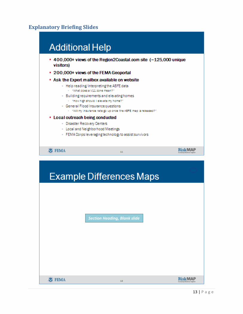
Explanatory Briefing Slides
8 | P a g e

Explanatory Briefing Slides
9 | P a g e

Explanatory Briefing Slides
10 | P a g e

Explanatory Briefing Slides
11 | P a g e

Explanatory Briefing Slides
12 | P a g e
Explanatory Briefing Slides
13 | P a g e
Section Heading, Blank slide

Explanatory Briefing Slides
14 | P a g e

Explanatory Briefing Slides
15 | P a g e
Section Heading, Blank slide

Explanatory Briefing Slides
16 | P a g e

Explanatory Briefing Slides
17 | P a g e

Explanatory Briefing Slides
18 | P a g e

Explanatory Briefing Slides
19 | P a g e

Explanatory Briefing Slides
20 | P a g e

21 | P a g e
Recovery Resources The NYS Department of Financial Service has activated a Disaster Hotline to answer consumer questions and help with problems. The Disaster Hotline number is 800-339-1759. It is currently staffed 8 a.m. to 8 p.m. on weekdays and 10 a.m.- 5 p.m. on weekends. Homeowners unable to resolve disputes with insurers can file complaints at http://www.dfs.ny.gov/consumer/fileacomplaint.htm. Storm Recovery Assistance Scams • Form completion services. Beware of people charging a fee to help you complete disaster
assistance forms, such as FEMA or SBA, or obtaining assistance checks. These services are provided free through FEMA and the Red Cross.
• Phony Inspectors. Never let anyone in until you have verified they have the appropriate credentials. Always ask for a telephone number so you can confirm the inspector is working for an authorized agency.
• Government Grant Offers. Be aware of entities offering "free grant money" for flood repair or disaster relief. A true grant is free and never requires any upfront fees or repayment. Check with a regional or state economic development office to see if they know of grant programs for which you might qualify, or contact your local social service agency for information or assistance.
• Advance Fee Loans. Advance fee loans are illegal. Ignore any company that “guarantees” you will receive a loan. Dishonest operators will charge a processing fee, and then promise they will find a lender. It is illegal to charge an up-front fee.
• Water Testing & Purifiers. Monitor local news media for instructions from health authorities regarding water safety and purification. Avoid offers for “free” home water testing, and be skeptical of claims that an in-home test shows your water is unsafe. If you have questions about the safety of your water, contact your local public health authority.
* * * * * * * * * * * * * * * * * * * * * * * * * * * * * *
I hope you find this information useful and encouraging as you evaluate your options and make your
personal recovery plans.
The most positive things to emerge from SANDY are the demonstrations of resiliency and generosity in
our wonderful communities. We got through SANDY, and we can handle whatever may come our way,
together. Please do not hesitate to reach out to my office with any questions or problems you may have.

This Guide can be downloaded from http://www.montgomery.nysenate.gov
and can also be found on http://www.facebook.com/NYStateSenatorVelmanetteMontgomery