Embed Size (px)
Citation preview
SPECIMEN ASSESSMENT
MATERIAL: SET 2
GCSE
GEOGRAPHY
PAPER 2 CHALLENGES IN THE HUMAN ENVIRONMENT
Mark scheme
Additional Specimen
MARK SCHEME – GCSE GEOGRAPHY – PAPER 2 – SAMS SET 2
2
Mark schemes are prepared by the Lead Assessment Writer and considered, together with the relevant questions, by a panel of subject teachers. This mark scheme includes any amendments made at the standardisation events which all associates participate in and is the scheme which was used by them in this examination. The standardisation process ensures that the mark scheme covers the students’ responses to questions and that every associate understands and applies it in the same correct way. As preparation for standardisation each associate analyses a number of students’ scripts. Alternative answers not already covered by the mark scheme are discussed and legislated for. If, after the standardisation process, associates encounter unusual answers which have not been raised they are required to refer these to the Lead Assessment Writer. It must be stressed that a mark scheme is a working document, in many cases further developed and expanded on the basis of students’ reactions to a particular paper. Assumptions about future mark schemes on the basis of one year’s document should be avoided; whilst the guiding principles of assessment remain constant, details will change, depending on the content of a particular examination paper. Further copies of this mark scheme are available from aqa.org.uk

MARK SCHEME – GCSE GEOGRAPHY – PAPER 2 – SAMS SET 2
3
Level of response marking instructions
Level of response mark schemes are broken down into levels, each of which has a descriptor. The descriptor for the level shows the average performance for the level. There are marks in each level. Before you apply the mark scheme to a student’s answer read through the answer and annotate it (as instructed) to show the qualities that are being looked for. You can then apply the mark scheme.
Step 1 Determine a level
Start at the lowest level of the mark scheme and use it as a ladder to see whether the answer meets the descriptor for that level. The descriptor for the level indicates the different qualities that might be seen in the student’s answer for that level. If it meets the lowest level then go to the next one and decide if it meets this level, and so on, until you have a match between the level descriptor and the answer. With practice and familiarity you will find that for better answers you will be able to quickly skip through the lower levels of the mark scheme. When assigning a level you should look at the overall quality of the answer and not look to pick holes in small and specific parts of the answer where the student has not performed quite as well as the rest. If the answer covers different aspects of different levels of the mark scheme you should use a best fit approach for defining the level and then use the variability of the response to help decide the mark within the level, ie if the response is predominantly Level 2 with a small amount of Level 3 material it would be placed in Level 2 but be awarded a mark near the top of the level because of the Level 3 content.
Step 2 Determine a mark
Once you have assigned a level you need to decide on the mark. The descriptors on how to allocate marks can help with this. The exemplar materials used during standardisation will help. There will be an answer in the standardising materials which will correspond with each level of the mark scheme. This answer will have been awarded a mark by the Lead Examiner. You can compare the student’s answer with the example to determine if it is the same standard, better or worse than the example. You can then use this to allocate a mark for the answer based on the Lead Examiner’s mark on the example. You may well need to read back through the answer as you apply the mark scheme to clarify points and assure yourself that the level and the mark are appropriate. Indicative content in the mark scheme is provided as a guide for examiners. It is not intended to be exhaustive and you must credit other valid points. Students do not have to cover all of the points mentioned in the indicative content to reach the highest level of the mark scheme. An answer which contains nothing of relevance to the question must be awarded no marks. Assessment of spelling, punctuation and grammar (SPaG) Accuracy of spelling, punctuation, grammar and the use of specialist terminology will be assessed via the indicated 9 mark questions. In each of these questions, 3 marks are allocated for SPaG as follows:
High performance – 3 marks Intermediate performance – 2 marks Threshold performance – 1 mark
MARK SCHEME – GCSE GEOGRAPHY – PAPER 2 – SAMS SET 2
4
Q Part Marking guidance Total marks
Question 1 Urban issues and challenges
01 1 1 mark – one point accurately marked and line completed OR both points accurately marked but no line. 2 marks – both points accurately marked and line completed. AO4 = 2 marks
2
01 2 2.8 billion (must have billion) AO4 = 1 mark
1
01 3 Individual points – 1 mark (2 x 1) OR developed point – 2 marks. Ideas might include: many cities in LICs/NEEs are growing rapidly because of high
levels of migration from the countryside to the cities (rural-urban migration) (1). This is mainly due to the opportunities for a higher standard of living/food security/health/education in urban areas (pull factors)(1)
many megacities are major centres of economic activity, including manufacturing industries and services (1), so they attract large numbers of people looking for work often from rural areas, causing the city to grow faster (1)
push factors such as rural unemployment and poor access to services drives people into larger cities in LICs and NEEs (1)
people who migrate to towns and cities tend to be young and so have higher birth rates in that age range (1)
no credit for description of pattern of megacities.
AO3 = 2 marks
2
01 4 5665 AO4 = 1 mark
1
01 5 A (2 km)
AO4 = 1 mark
1
MARK SCHEME – GCSE GEOGRAPHY – PAPER 2 – SAMS SET 2
5
01 6 Individual points – 1 mark (2 x 1) OR developed point – 2 marks. Ideas might include: quicker way into the city; less stressful; no parking worries; get right into city centre; cheaper. All of which would encourage people to use the bus service so there would be fewer cars and consequently less traffic congestion. AO3 = 2 marks
2

MARK SCHEME – GCSE GEOGRAPHY – PAPER 2 – SAMS SET 2
6
01 7
Level Marks Description 3
(Detailed) 5–6 AO3 Demonstrates thorough application of
knowledge and understanding in interpreting geographical information and giving detailed explanation of how urban regeneration projects can reduce levels of urban deprivation.
AO3 Makes full analysis of the resource, using evidence to support the response.
2 (Clear)
3–4 AO1 Demonstrates clear knowledge of how urban regeneration projects can reduce levels of urban deprivation.
AO2 Shows some geographical understanding of the effectiveness of an urban regeneration project in reducing levels of urban deprivation.
1 (Basic)
1–2 AO1 Demonstrates limited knowledge of how urban regeneration projects can reduce levels of urban deprivation.
AO2 Shows limited geographical understanding of how urban regeneration projects can reduce levels of urban deprivation.
0 No relevant content. Indicative content
Own knowledge can be based on an example or an understanding of deprivation.
Urban regeneration projects can be seen at any scale and can be seen within the context of other urban projects (eco projects/ sustainable urban development, etc).
Urban deprivation can be considered in relation to socio-economic and environmental conditions.
Reducing deprivation can be seen as improving conditions. At the higher levels it is expected that students will show an
appreciation of specific deprivation indicators and suggest how regeneration projects will improve these.
AO1 = 2 marks, AO2 = 2 marks, AO3 = 2 marks
6
MARK SCHEME – GCSE GEOGRAPHY – PAPER 2 – SAMS SET 2
7
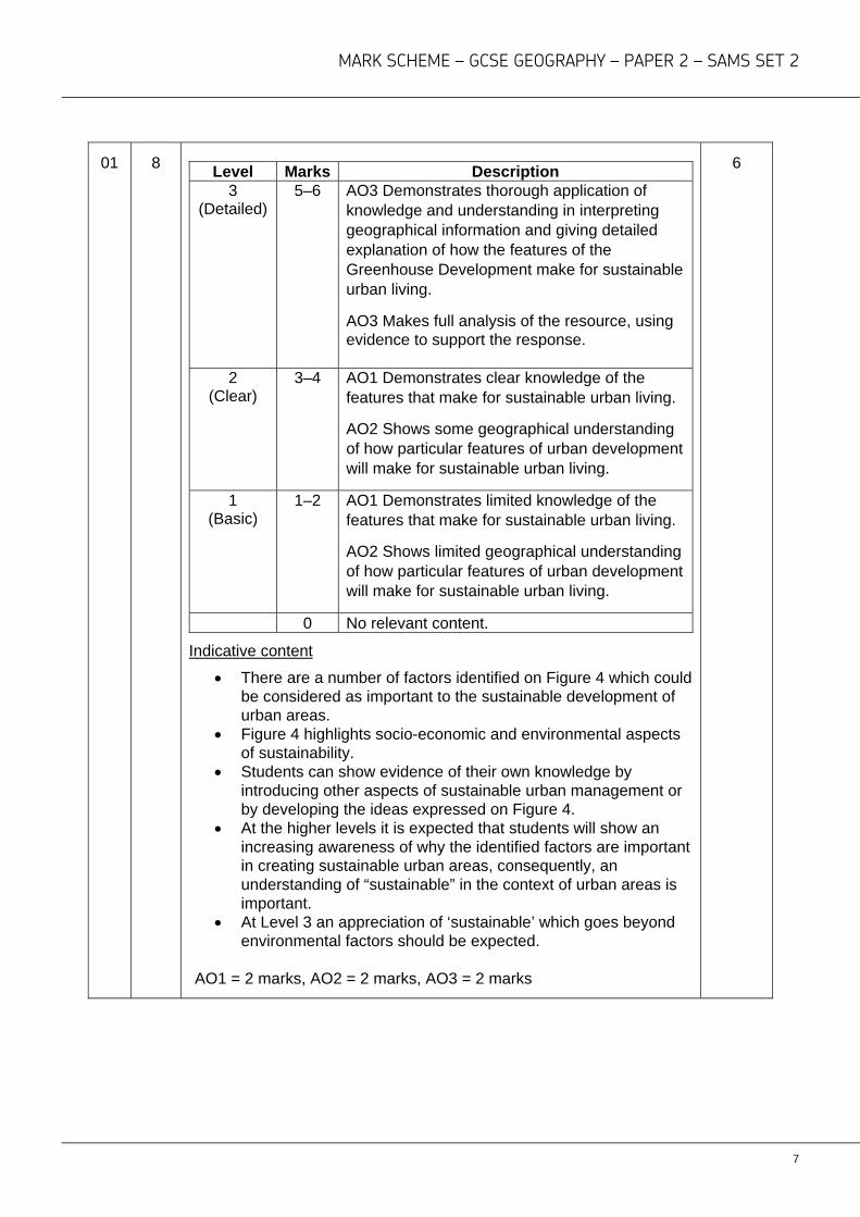
01 8
Level Marks Description 3
(Detailed) 5–6 AO3 Demonstrates thorough application of
knowledge and understanding in interpreting geographical information and giving detailed explanation of how the features of the Greenhouse Development make for sustainable urban living.
AO3 Makes full analysis of the resource, using evidence to support the response.
2 (Clear)
3–4 AO1 Demonstrates clear knowledge of the features that make for sustainable urban living.
AO2 Shows some geographical understanding of how particular features of urban development will make for sustainable urban living.
1 (Basic)
1–2 AO1 Demonstrates limited knowledge of the features that make for sustainable urban living.
AO2 Shows limited geographical understanding of how particular features of urban development will make for sustainable urban living.
0 No relevant content.
Indicative content
There are a number of factors identified on Figure 4 which could be considered as important to the sustainable development of urban areas.
Figure 4 highlights socio-economic and environmental aspects of sustainability.
Students can show evidence of their own knowledge by introducing other aspects of sustainable urban management or by developing the ideas expressed on Figure 4.
At the higher levels it is expected that students will show an increasing awareness of why the identified factors are important in creating sustainable urban areas, consequently, an understanding of “sustainable” in the context of urban areas is important.
At Level 3 an appreciation of ‘sustainable’ which goes beyond environmental factors should be expected.
AO1 = 2 marks, AO2 = 2 marks, AO3 = 2 marks
6
MARK SCHEME – GCSE GEOGRAPHY – PAPER 2 – SAMS SET 2
8
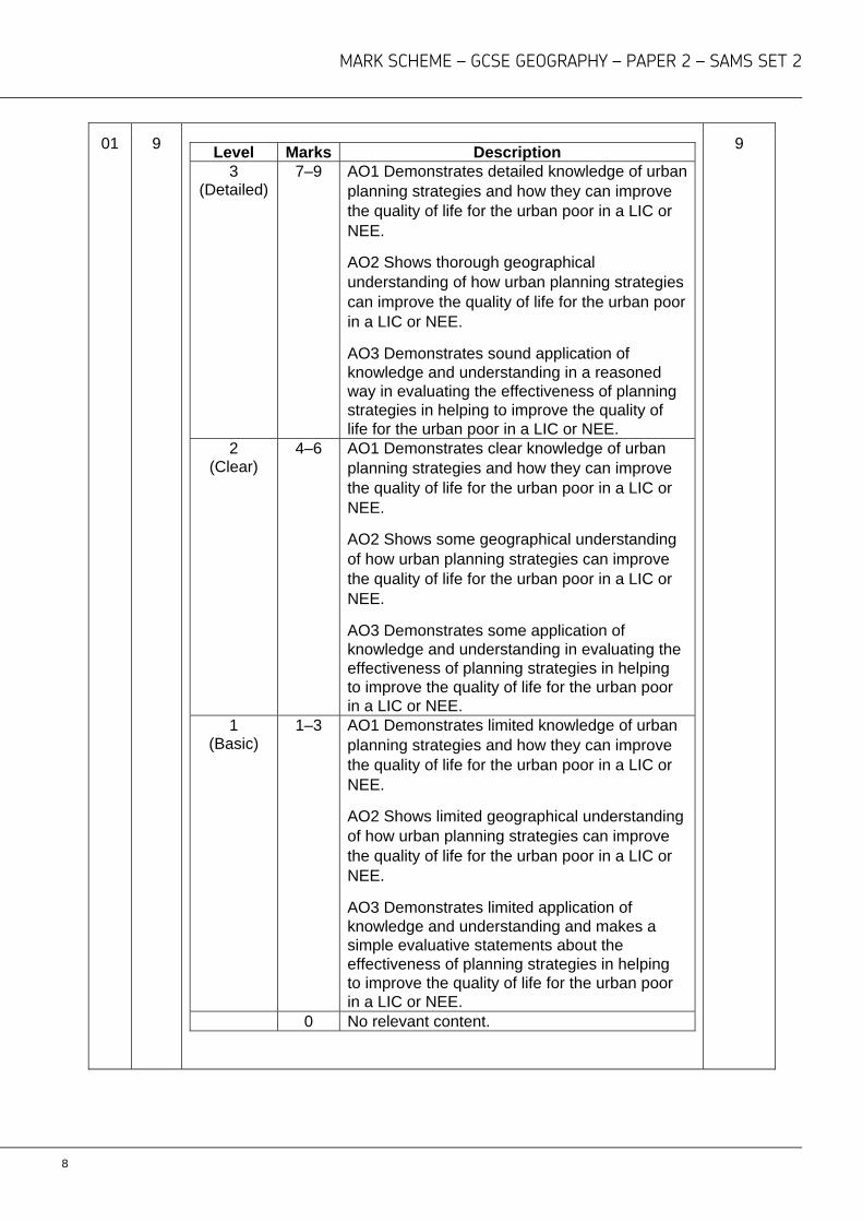
01 9
Level Marks Description 3
(Detailed) 7–9 AO1 Demonstrates detailed knowledge of urban
planning strategies and how they can improve the quality of life for the urban poor in a LIC or NEE.
AO2 Shows thorough geographical understanding of how urban planning strategies can improve the quality of life for the urban poor in a LIC or NEE.
AO3 Demonstrates sound application of knowledge and understanding in a reasoned way in evaluating the effectiveness of planning strategies in helping to improve the quality of life for the urban poor in a LIC or NEE.
2 (Clear)
4–6 AO1 Demonstrates clear knowledge of urban planning strategies and how they can improve the quality of life for the urban poor in a LIC or NEE.
AO2 Shows some geographical understanding of how urban planning strategies can improve the quality of life for the urban poor in a LIC or NEE.
AO3 Demonstrates some application of knowledge and understanding in evaluating the effectiveness of planning strategies in helping to improve the quality of life for the urban poor in a LIC or NEE.
1 (Basic)
1–3 AO1 Demonstrates limited knowledge of urban planning strategies and how they can improve the quality of life for the urban poor in a LIC or NEE.
AO2 Shows limited geographical understanding of how urban planning strategies can improve the quality of life for the urban poor in a LIC or NEE.
AO3 Demonstrates limited application of knowledge and understanding and makes a simple evaluative statements about the effectiveness of planning strategies in helping to improve the quality of life for the urban poor in a LIC or NEE.
0 No relevant content.
9
MARK SCHEME – GCSE GEOGRAPHY – PAPER 2 – SAMS SET 2
9
Indicative content
Example must be drawn from a lower income country or a newly emerging economy.
The term ‘urban planning strategy’ can be interpreted in the broadest sense and include local government schemes, self-help schemes and NGO schemes.
Strategies can be holistic and include a number of socio-economic and environmental elements or be focused on particular elements of improvement, for example community development schemes or housing improvement schemes, water/sanitation improvement schemes.
‘Evaluate the effectiveness’ implies an understanding of what the conditions were like before and a judgement about the extent to which the conditions have improved.
A descriptive account of a particular strategy with no reference to how it has changed conditions will generally not get beyond Level 1.
AO1 = 3 marks, AO2 = 3 marks, AO3 = 3 marks
Question 2 The changing economic world
02 1 Guyana AO4 = 1 mark
1
02 2 Infant mortality must clearly be on 10 line, GNI somewhere between 15 000–16 000 AO4 = 1 mark
1
02 3 A line which down left to right (negative), somewhere within the range of points.
AO4 = 1 mark
1
02 4 1 mark – Basic idea – degree of wealth linked to level of medical care,health services,social services, education, family income, food supply and diet.
2nd mark – Some development based on link to infant mortality.
AO3 = 2 marks
2
MARK SCHEME – GCSE GEOGRAPHY – PAPER 2 – SAMS SET 2
10
02 5 1 mark – for calculating the average infant mortality rate at 16.75 (per 1000 births) accept any number between 16 and 17.
2nd mark – for showing working out.
AO4 = 2 marks
2
02 6 ‘Might affect the quality of life’ could mean a positive or a negative impact.
2 x 2 marks
1 mark For an identified point.
2nd mark for some extension of the identified point or some appropriate development.
Indicative content
Wider provision of medical services. Increased access to education. Higher rates of adult literacy. Improved food security. Improvements infrastructure. Less disease- safe water, sewage disposal.
AO2 = 4 marks
4
02 7 Change(s) suggests a need for more than one change or an overall understanding of a change in structure.
1 mark – identifies a single change.
2 marks – identifies two or more changes or an overall understanding of structural change (which will generally include an identification of more than one change).
AO4 = 2 marks
2
MARK SCHEME – GCSE GEOGRAPHY – PAPER 2 – SAMS SET 2
11
02 8
Level Marks Description 2
(Clear) 3–4 AO1 Produces some accurate descriptive
knowledge about why industrial structures change. AO2 Shows some clear understanding of why industrial structures change.
1 (Basic)
1–2 AO1 Limited knowledge with basic points which largely describe changes with only tentative explanation.
AO2 Shows a limited understanding of industrial change.
0 No relevant content.
Indicative content
Mechanisation of primary/secondary activity. The movement of manufacturing to other countries. Increasing wealth leading to the growth of services. The growth of technology – services/research and development. The growth of particular industrial activities; tourism; transport;
recreation, etc.
AO1 = 2 marks AO2 = 2 marks
4
02 9
Level Marks Description 2
(Clear) 3–4 AO2 Shows some geographical understanding
of how particular features of industrial development will help to make them more sustainable.
AO3 Uses Figure 7 effectively and offers development to identify a range of features that will help to make industrial developments sustainable.
1 (Basic)
1–2 AO2 Shows limited geographical understanding of how particular features of industrial development will help to make them more sustainable.
AO3 Uses Figure 7 OR individual ideas to identify a range of features that will help to make industrial developments sustainable.
0 No relevant content.
4
MARK SCHEME – GCSE GEOGRAPHY – PAPER 2 – SAMS SET 2
12
Indicative content
There are a number of factors identified on Figure 7 which could be considered as important to the sustainable development of industrial areas.
There is an expectation that students will use Figure 7 and add their own knowledge by developing points from Figure 7 or adding additional ideas.
Ideas might include; use of renewable energy; grey water systems; waste management systems; pollution monitoring and management; green landscaping; communal transport systems; encouragement of the use of cycling; specific facilities for staff; flexible working patterns, etc.
AO2 = 2 marks, AO3 = 2 marks
02 10
Level Marks Description 3
(Detailed) 7–9 AO1 Demonstrates detailed knowledge of how
the development of tourism can be used to reduce the development gap.
AO2 Shows thorough geographical understanding of how the development of tourism can be used to reduce the development gap.
AO3 Demonstrates sound application of knowledge and understanding in a reasoned way to evaluate the effectiveness of tourism development as a way of reducing the development gap.
2 (Clear)
4–6 AO1 Demonstrates clear knowledge of how the development of tourism can be used to reduce the development gap.
AO2 Shows some geographical understanding of the development of tourism can be used to reduce the development gap.
AO3 Demonstrates some application of knowledge and understanding to evaluate the effectiveness of tourism development as a way of reducing the development gap.
9

MARK SCHEME – GCSE GEOGRAPHY – PAPER 2 – SAMS SET 2
13
1 (Basic)
1–3 AO1 Demonstrates limited knowledge which identifies how the development of tourism can improve living standards.
AO2 Shows limited geographical understanding of how the development of tourism can be used to reduce the development gap.
AO3 Demonstrates limited application of knowledge and understanding and makes simple evaluative statements about the effectiveness of tourism development as a way of reducing the development gap.
0 No relevant content. Indicative content
At the highest level students are expected to show some understanding of the development gap.
At the lower levels reducing the development gap may be implied by an appreciation of how the development of tourism can create socio-economic opportunities.
Economic factors considered may include the creation of jobs (direct and through the multiplier); increases in income; opportunity for the development of skills; the development of infrastructure and improvement of services.
Social opportunities may include the development and improvement of services; the opportunity to improve general living conditions and general improvement to health and welfare.
Students may include examples where particular tourism developments have included the building of social facilities such as schools; health clinics; water and sanitation systems; electricity systems.
AO1 = 3 marks, AO2 = 3 marks, AO3 = 3 marks
MARK SCHEME – GCSE GEOGRAPHY – PAPER 2 – SAMS SET 2
14
Question 3 The challenge of resource management
03 1 C (6) AO4 = 1 mark
1
03 2 1 mark – basic idea of increasing food miles meaning a greater need for transport. 2nd mark – some development which includes observations about increasing use of fuel or a link to increasing levels of pollution. AO2 = 1 mark, AO3 = 1 mark
2
03 3
Level Marks Description
3 (Detailed)
5–6 AO2 D Demonstrates detailed understanding of the issues surrounding sourcing food locally compared to importing food from abroad.
AO3 Demonstrates sound application of knowledge and understanding in a reasoned way to make a judgement about whether to source food locally or import from abroad.
2 (Clear)
3–4 AO2 Demonstrates clear understanding of the issues surrounding sourcing food locally compared to importing food from abroad.
AO3 Demonstrates some application of knowledge and understanding to evaluate the relative importance of sourcing food locally or importing from abroad.
1 (Basic)
1–2 AO2 Demonstrates limited understanding of the issues surrounding sourcing food locally compared to importing food from abroad. AO3 Demonstrates limited application of knowledge and understanding and makes simple evaluative statements about sourcing food locally or importing food from abroad.
0 No relevant content.
Indicative content
The command is ‘ To what extent’, so the focus of the question is an evaluation of the issues surrounding the decision to buy locally produced food compared to food from abroad with an appreciation of the judgements involved.
Students may consider broader environmental issues including carbon footprints/food miles/levels of pollution, etc.
Students may consider issues of waste and cost.
6
MARK SCHEME – GCSE GEOGRAPHY – PAPER 2 – SAMS SET 2
15
Students may consider factors about supporting local farmers and farming communities.
Students may consider the quality of local produce. Students may consider the knowledge of knowing how local
food has been produced an important consideration. Observations about supporting local business rather than large
supermarkets may be a factor. The importance of price may be significant (in terms of
demand). Greater awareness of environmental/food issues because of
publicity or television programmes. Advertising/marketing, both in a national and local context (local
farmers markets) may be a consideration.
AO2 = 3 marks, AO3 = 3 marks
03 4 fluctuated coal 1992 3 x 1 marks AO4 = 3 marks
3
03 5 Any two reasonable points (2 x 1) or a single developed point (2marks) Indicative content
The relative price. Ease of use/flexibility of use or transportation of resource. Concerns about the environment. Government policy. Response to public opinion. Increasing drive towards renewables. Coal running out/decline, in the UK. International carbon agreements.
AO2 = 2 marks
2
MARK SCHEME – GCSE GEOGRAPHY – PAPER 2 – SAMS SET 2
16
Question 4 Food
04 1 Africa AO4 = 1 mark
1
04 2 1 mark for identification of an area/areas that consume more than 3500 calories per year. 2nd mark for an appreciation of the overall distribution. This might be a reference to the more developed parts of the world or use of named continents to express this. AO4 = 2 marks
2
04 3 1 mark –for identified point 2nd. mark – for some extension of the identified point or some appropriate development. Indicative content
Malnutrition/starvation/famine. Specific health issues. Links to individual/national economic circumstances. Migration from rural areas. Civil conflict.
AO2 = 2 marks
2
04 4
Level Marks Description 3
(Detailed) 5–6 AO1 Demonstrates detailed knowledge of the
advantages and disadvantages of a specific large scale agricultural development. AO2- Shows thorough geographical understanding of the advantages and disadvantages of a specific large scale agricultural development.
2 (Clear)
3–4 AO1- Demonstrates clear knowledge of the advantages and disadvantages of a referenced large scale agricultural development. AO2- Shows some geographical understanding of the advantages and disadvantages of a referenced large scale agricultural development.
6
MARK SCHEME – GCSE GEOGRAPHY – PAPER 2 – SAMS SET 2
17
1
(Basic) 1–2 AO1 Demonstrates limited amount of largely
generic knowledge of the advantages and disadvantages of a large scale agricultural development. AO2 Shows limited geographical understanding of the advantages and disadvantages of a large scale agricultural development.
0 No relevant content.
Indicative content
Advantages Increased food production. Increased cash crops (export). Cheaper food. Improved health. Up skilling of workforce. Labour freed up for other industry. Disadvantages. Less jobs in rural areas. Increased use of water. Need for industrial inputs (imports). Breakdown of rural communities. Small scale farmers lose their land. Problems of pollution.
AO1 = 3 marks, AO2 = 3 marks
MARK SCHEME – GCSE GEOGRAPHY – PAPER 2 – SAMS SET 2
18
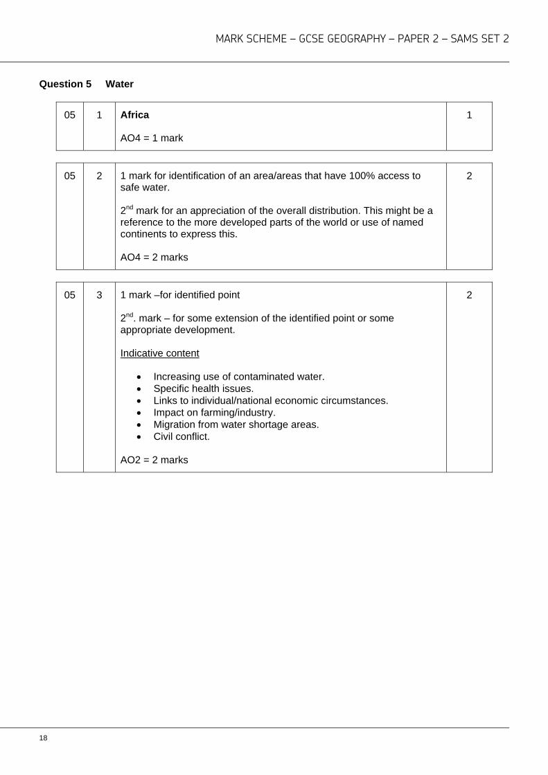
Question 5 Water
05 1 Africa AO4 = 1 mark
1
05 2 1 mark for identification of an area/areas that have 100% access to safe water. 2nd mark for an appreciation of the overall distribution. This might be a reference to the more developed parts of the world or use of named continents to express this. AO4 = 2 marks
2
05 3 1 mark –for identified point 2nd. mark – for some extension of the identified point or some appropriate development. Indicative content
Increasing use of contaminated water. Specific health issues. Links to individual/national economic circumstances. Impact on farming/industry. Migration from water shortage areas. Civil conflict.
AO2 = 2 marks
2
MARK SCHEME – GCSE GEOGRAPHY – PAPER 2 – SAMS SET 2
19
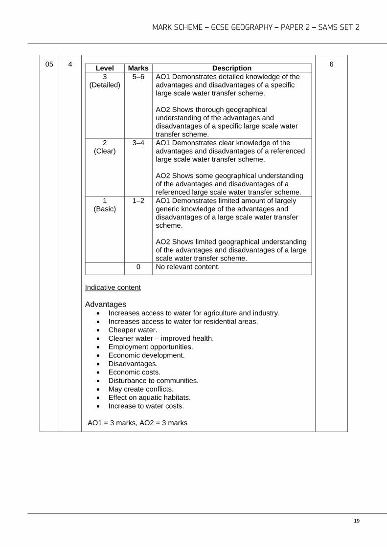
05 4
Level Marks Description 3
(Detailed) 5–6 AO1 Demonstrates detailed knowledge of the
advantages and disadvantages of a specific large scale water transfer scheme. AO2 Shows thorough geographical understanding of the advantages and disadvantages of a specific large scale water transfer scheme.
2 (Clear)
3–4 AO1 Demonstrates clear knowledge of the advantages and disadvantages of a referenced large scale water transfer scheme. AO2 Shows some geographical understanding of the advantages and disadvantages of a referenced large scale water transfer scheme.
1 (Basic)
1–2 AO1 Demonstrates limited amount of largely generic knowledge of the advantages and disadvantages of a large scale water transfer scheme. AO2 Shows limited geographical understanding of the advantages and disadvantages of a large scale water transfer scheme.
0 No relevant content.
Indicative content Advantages
Increases access to water for agriculture and industry. Increases access to water for residential areas. Cheaper water. Cleaner water – improved health. Employment opportunities. Economic development. Disadvantages. Economic costs. Disturbance to communities. May create conflicts. Effect on aquatic habitats. Increase to water costs.
AO1 = 3 marks, AO2 = 3 marks
6
MARK SCHEME – GCSE GEOGRAPHY – PAPER 2 – SAMS SET 2
20
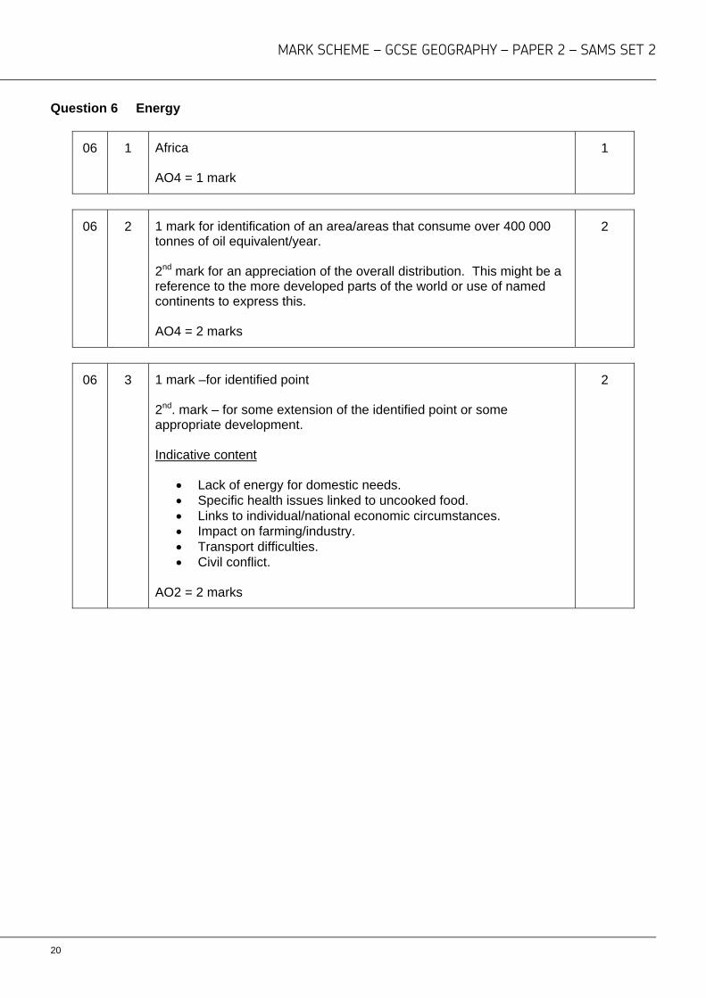
Question 6 Energy
06 1 Africa AO4 = 1 mark
1
06 2 1 mark for identification of an area/areas that consume over 400 000 tonnes of oil equivalent/year. 2nd mark for an appreciation of the overall distribution. This might be a reference to the more developed parts of the world or use of named continents to express this. AO4 = 2 marks
2
06 3 1 mark –for identified point 2nd. mark – for some extension of the identified point or some appropriate development. Indicative content
Lack of energy for domestic needs. Specific health issues linked to uncooked food. Links to individual/national economic circumstances. Impact on farming/industry. Transport difficulties. Civil conflict.
AO2 = 2 marks
2
MARK SCHEME – GCSE GEOGRAPHY – PAPER 2 – SAMS SET 2
21
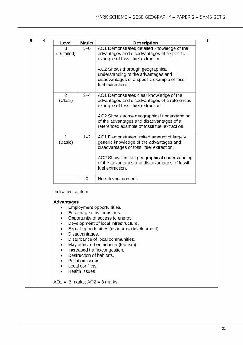
06 4
Level Marks Description 3
(Detailed) 5–6 AO1 Demonstrates detailed knowledge of the
advantages and disadvantages of a specific example of fossil fuel extraction. AO2 Shows thorough geographical understanding of the advantages and disadvantages of a specific example of fossil fuel extraction.
2 (Clear)
3–4 AO1 Demonstrates clear knowledge of the advantages and disadvantages of a referenced example of fossil fuel extraction. AO2 Shows some geographical understanding of the advantages and disadvantages of a referenced example of fossil fuel extraction.
1 (Basic)
1–2 AO1 Demonstrates limited amount of largely generic knowledge of the advantages and disadvantages of fossil fuel extraction. AO2 Shows limited geographical understanding of the advantages and disadvantages of fossil fuel extraction.
0 No relevant content.
Indicative content Advantages
Employment opportunities. Encourage new industries. Opportunity of access to energy. Development of local infrastructure. Export opportunities (economic development). Disadvantages. Disturbance of local communities. May affect other industry (tourism). Increased traffic/congestion. Destruction of habitats. Pollution issues. Local conflicts. Health issues.
AO1 = 3 marks, AO2 = 3 marks
6

aqa.org.uk
Copyright © 20166 AQA and its licensors. All rights reserved.
AQA Education (AQA) is a registered charity (registered charity number 1073334) and a company limited by guarantee registered in
England and Wales (company number 3644723). Registered address: AQA, Devas Street, Manchester M15 6EX
9 March 2017