Embed Size (px)
Citation preview
Seismic Hazard Analysis along the
State Water ProjectCalifornia Department of Water Resources
ATC-USGS NSHMP User-Needs WorkshopSeptember 21-22, 2015
USGS Menlo Park
Don Hoirup, CEG 2270
Senior Engineering Geologist, SpecialistCalifornia Department of Water Resources
Division of EngineeringGeotechnical and Engineering Services Branch
Project Geology Section
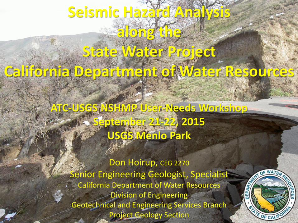
• Maintained and operated by the California Department of Water Resources (DWR).
• Deliveries to two-thirds of California's population
(SWP)
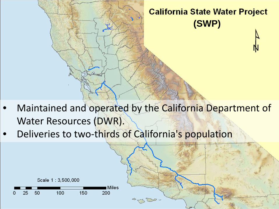
SWP
A water storage and delivery system of:• Reservoirs• Aqueducts (canals and pipelines)• Power plants• Pumping plants
SWP
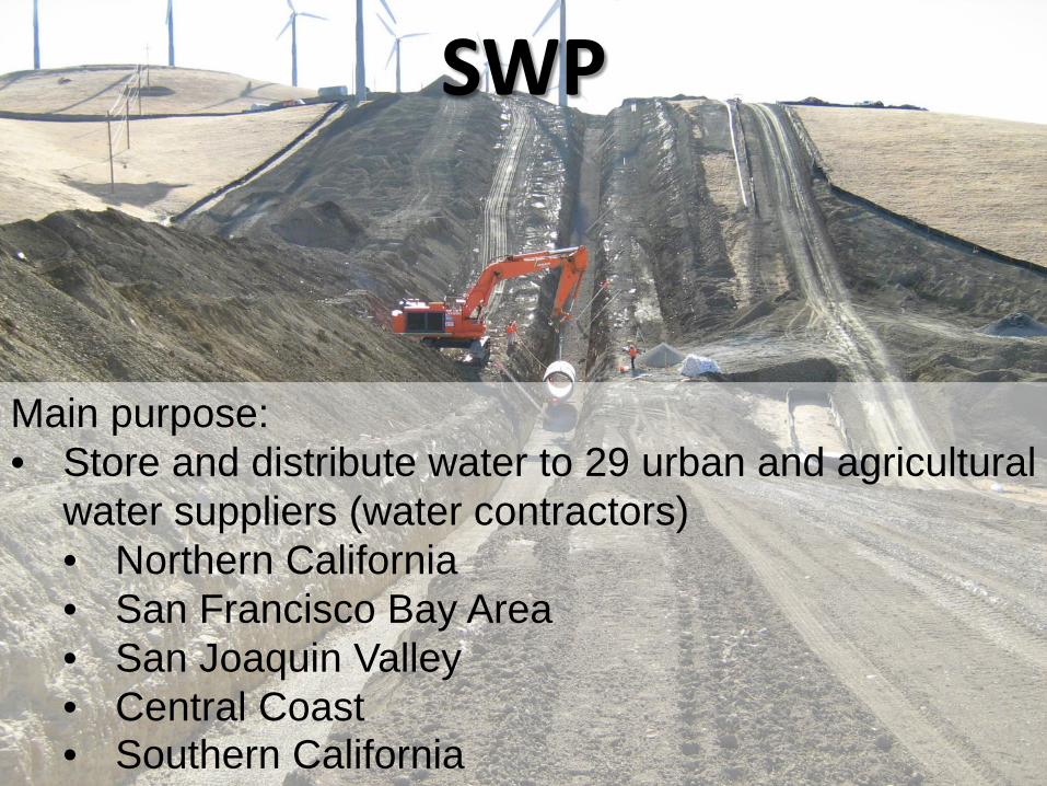
Main purpose:• Store and distribute water to 29 urban and agricultural
water suppliers (water contractors)• Northern California• San Francisco Bay Area• San Joaquin Valley• Central Coast• Southern California
SWP
Of the contracted water supply:
• 70 percent goes to urban users (about 25 million California’s)
• 30 percent goes to agricultural users (about 750,000 acres of irrigated farmland)
SWPThe SWP is also operated to:
• Improve water quality in the Sacramento-San Joaquin River Delta
• Control Feather River flood waters
• Provide recreation, enhance fish and wildlife
SWP• Construction began in the late 1950’s into the 1970’s
• Subsequent facilities built in the 1980’s and 1990’s
• Additional phases continue today
SWP
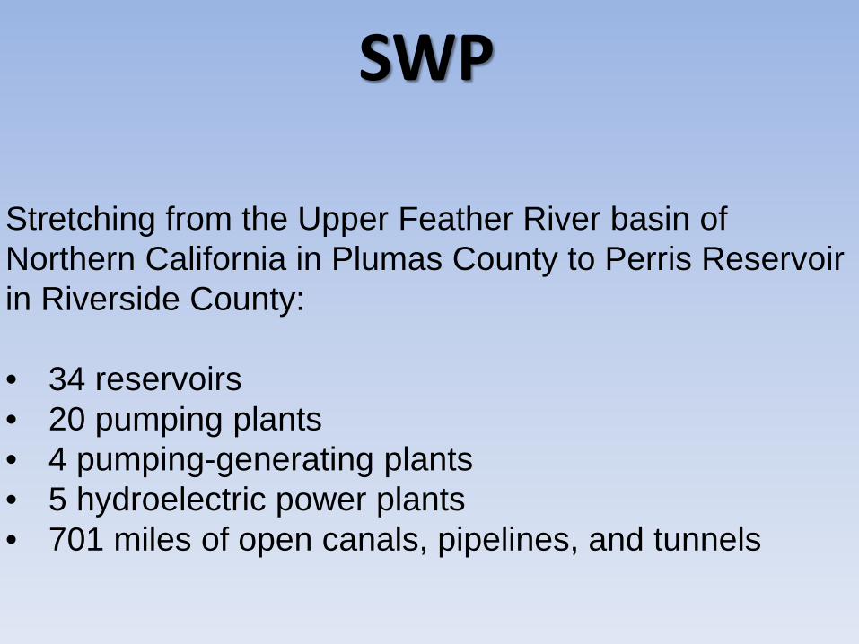
Stretching from the Upper Feather River basin of Northern California in Plumas County to Perris Reservoir in Riverside County:
• 34 reservoirs• 20 pumping plants• 4 pumping-generating plants• 5 hydroelectric power plants• 701 miles of open canals, pipelines, and tunnels
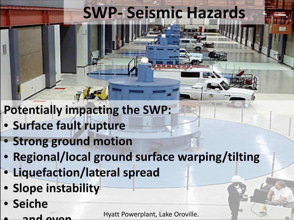
SWP- Seismic Hazards
Potentially impacting the SWP:• Surface fault rupture• Strong ground motion• Regional/local ground surface warping/tilting• Liquefaction/lateral spread• Slope instability• Seiche• and even Hyatt Powerplant, Lake Oroville.
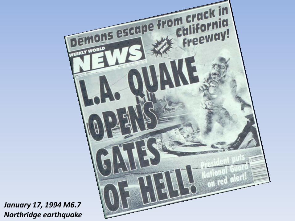
January 17, 1994 M6.7 Northridge earthquake
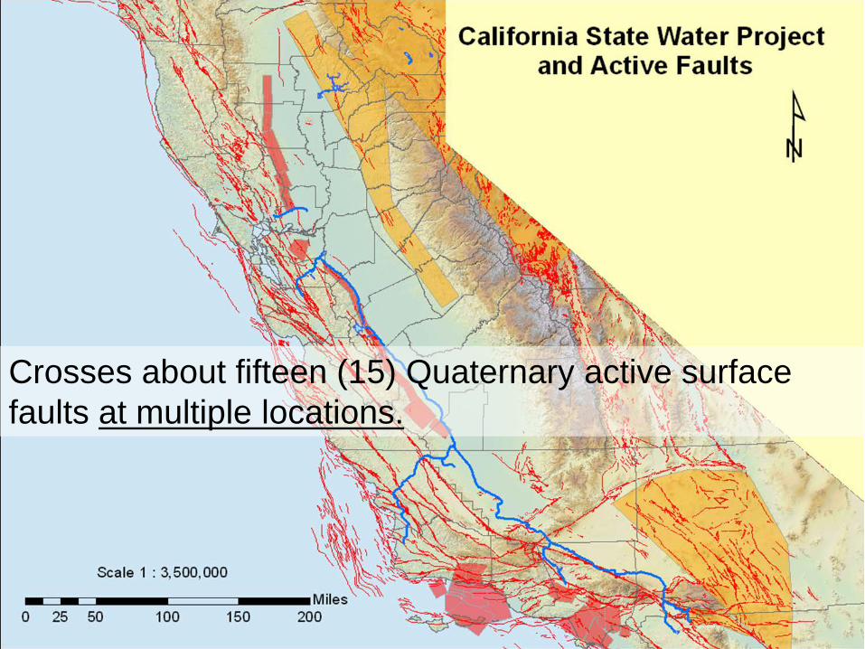
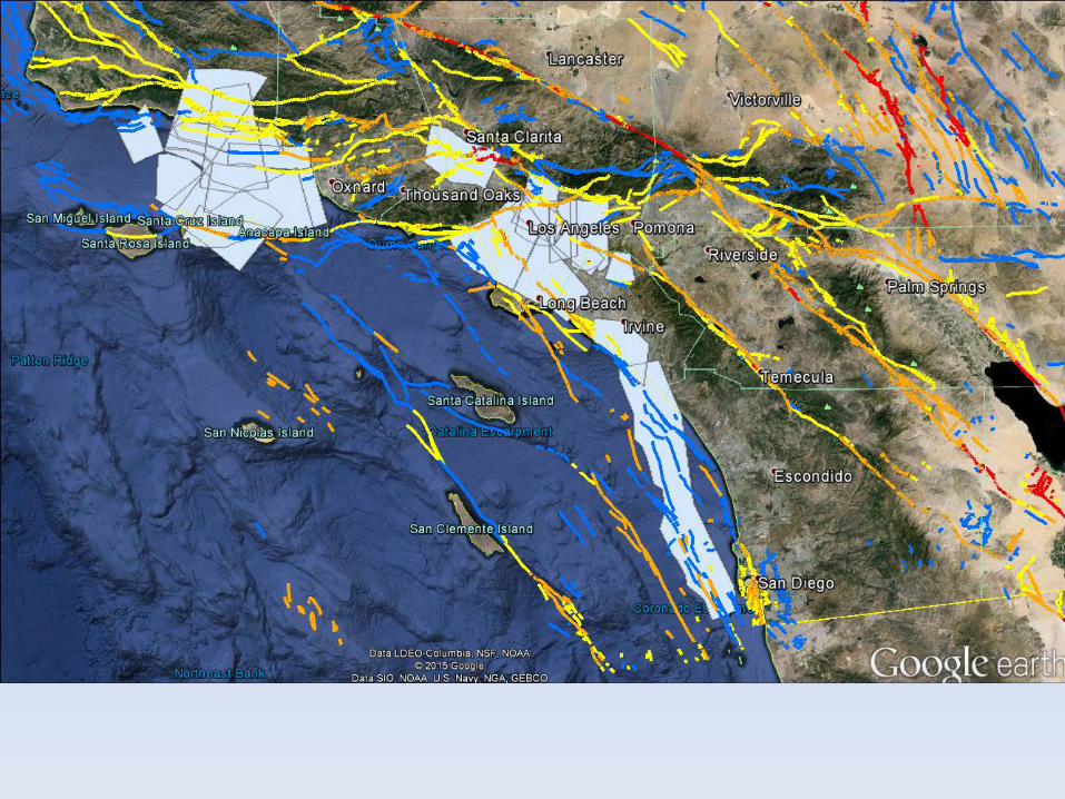
Crosses about fifteen (15) Quaternary active surface faults at multiple locations.
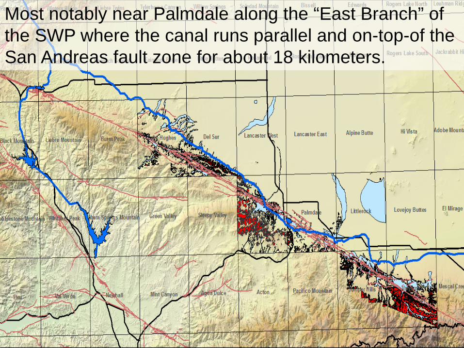
Most notably near Palmdale along the “East Branch” of the SWP where the canal runs parallel and on-top-of the San Andreas fault zone for about 18 kilometers.
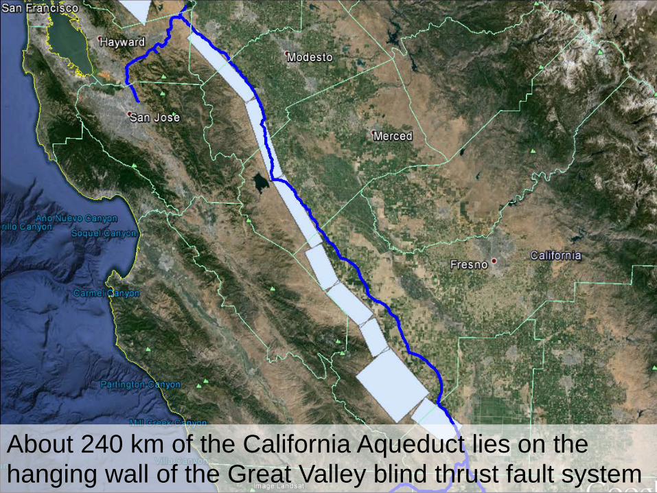
About 240 km of the California Aqueduct lies on the hanging wall of the Great Valley blind thrust fault system
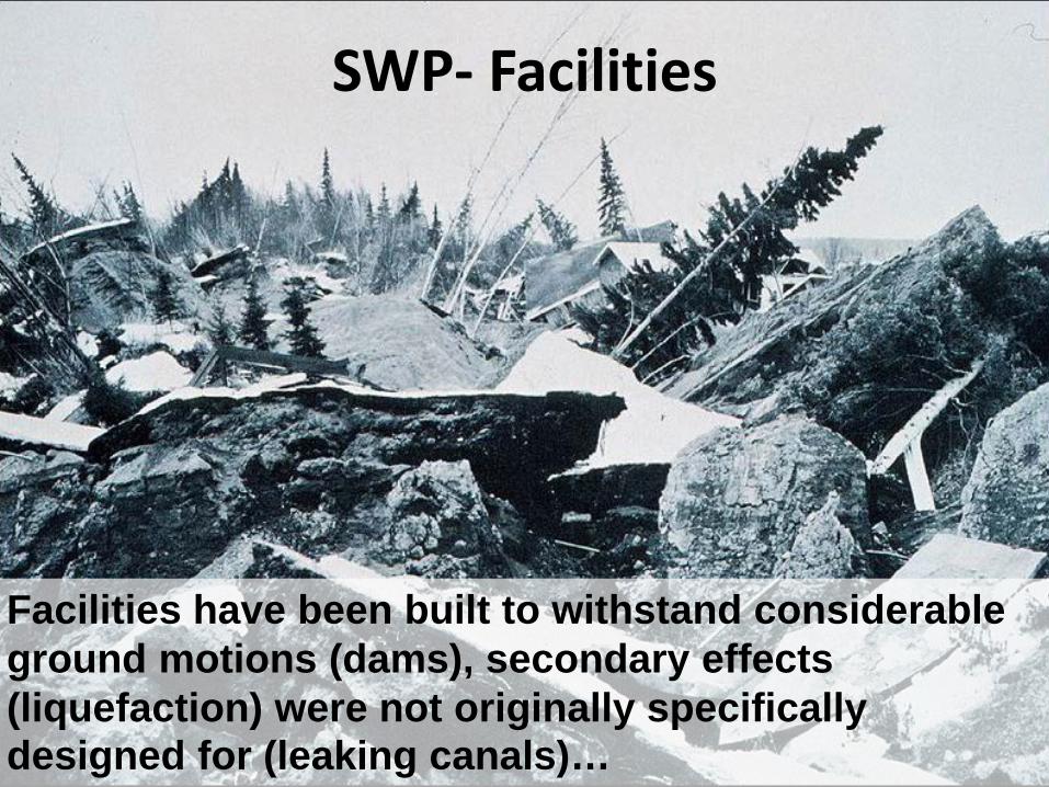
SWP- Facilities
Facilities have been built to withstand considerable ground motions (dams), secondary effects (liquefaction) were not originally specifically designed for (leaking canals)…
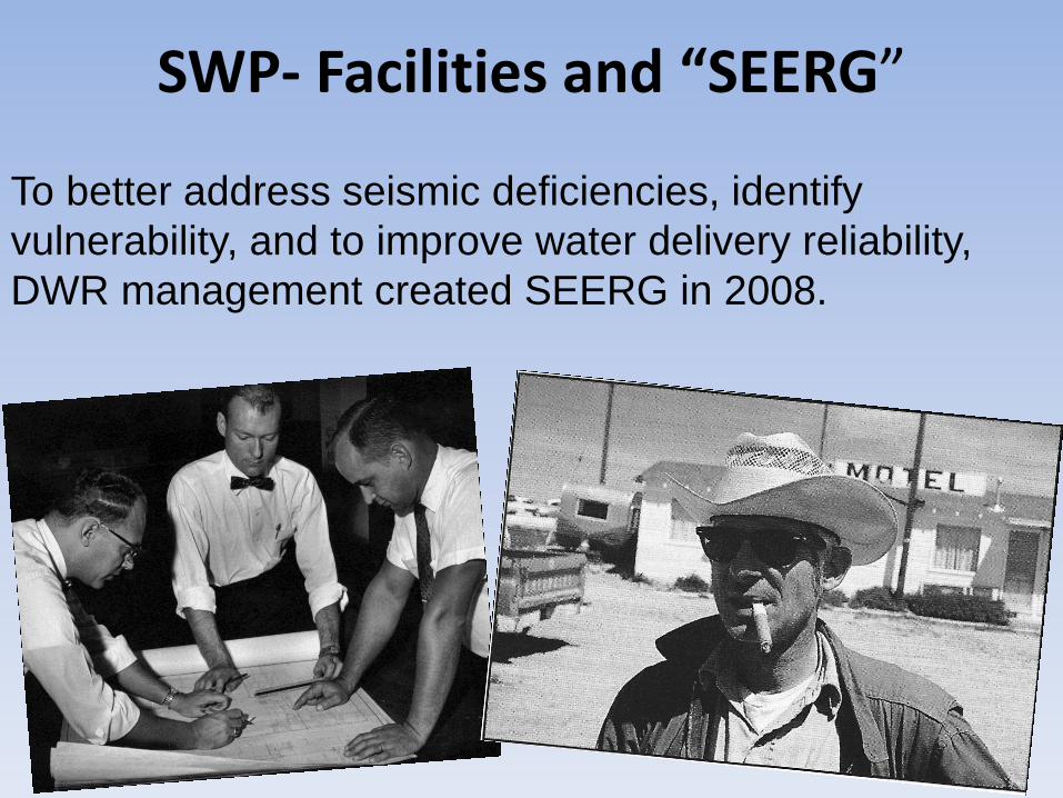
SWP- Facilities and “SEERG”
To better address seismic deficiencies, identify vulnerability, and to improve water delivery reliability, DWR management created SEERG in 2008.
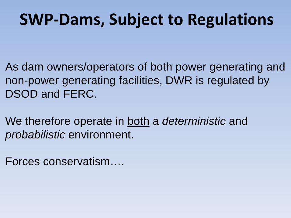
SWP-Dams, Subject to Regulations
As dam owners/operators of both power generating and non-power generating facilities, DWR is regulated by DSOD and FERC.
We therefore operate in both a deterministic and probabilistic environment.
Forces conservatism….
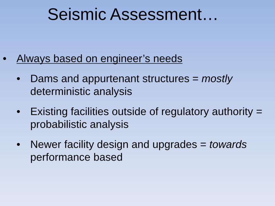
• Always based on engineer’s needs
• Dams and appurtenant structures = mostlydeterministic analysis
• Existing facilities outside of regulatory authority = probabilistic analysis
• Newer facility design and upgrades = towardsperformance based
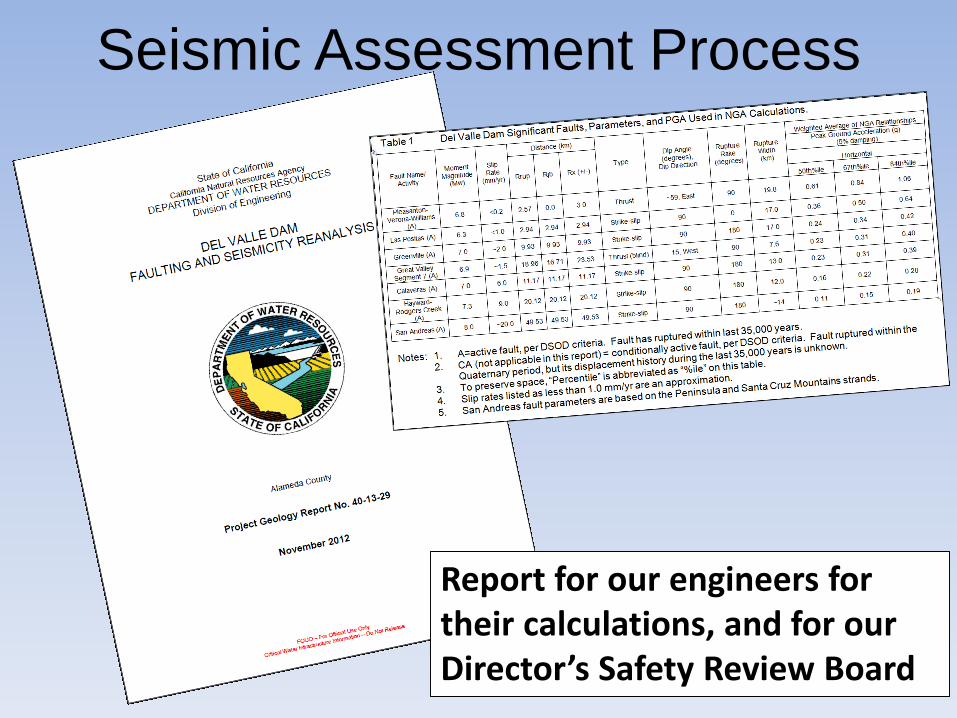
Seismic Assessment…
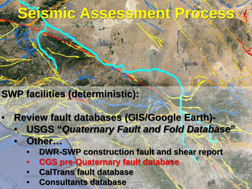
SWP facilities (deterministic):
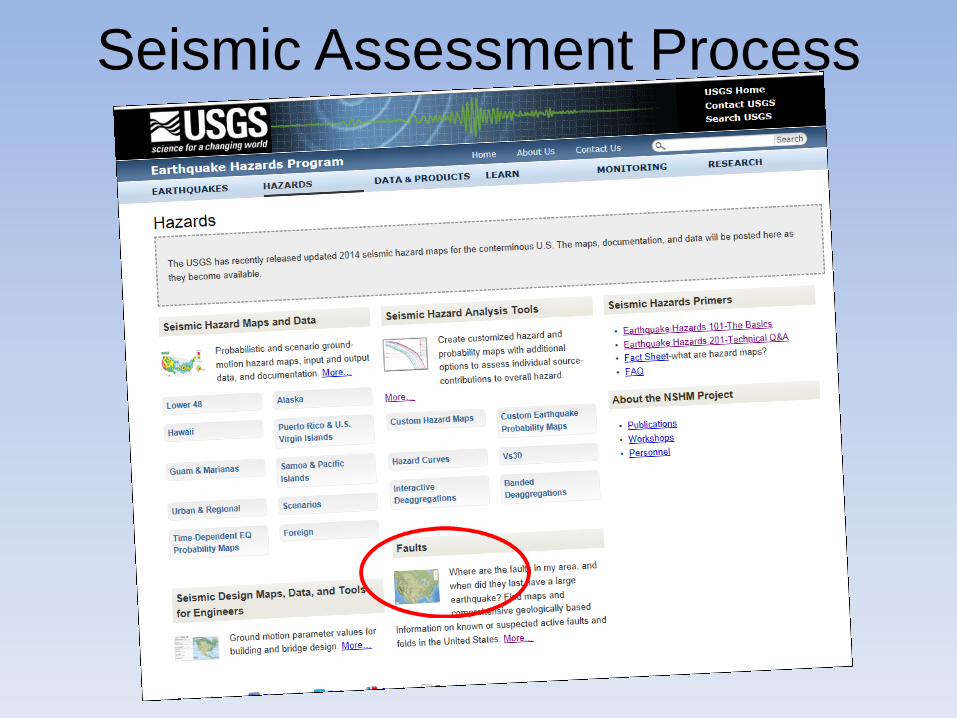
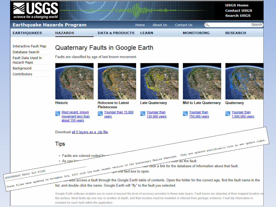
• Review fault databases (GIS/Google Earth)-• USGS “Quaternary Fault and Fold Database”• Other…
• DWR-SWP construction fault and shear report• CGS pre-Quaternary fault database• CalTrans fault database• Consultants database
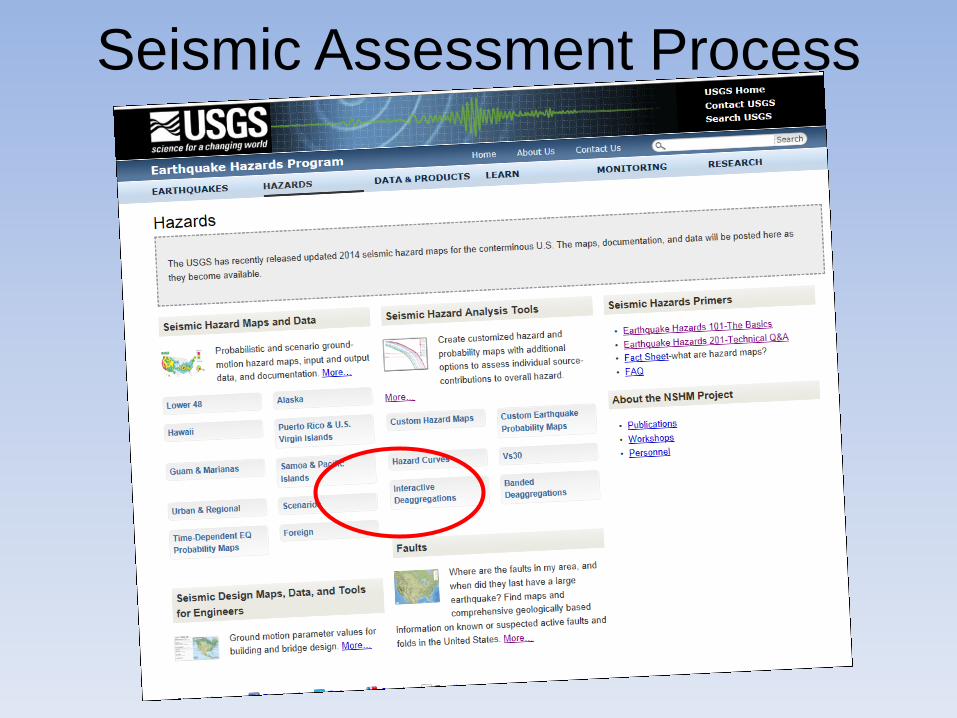
Seismic Assessment Process
Seismic Assessment Process
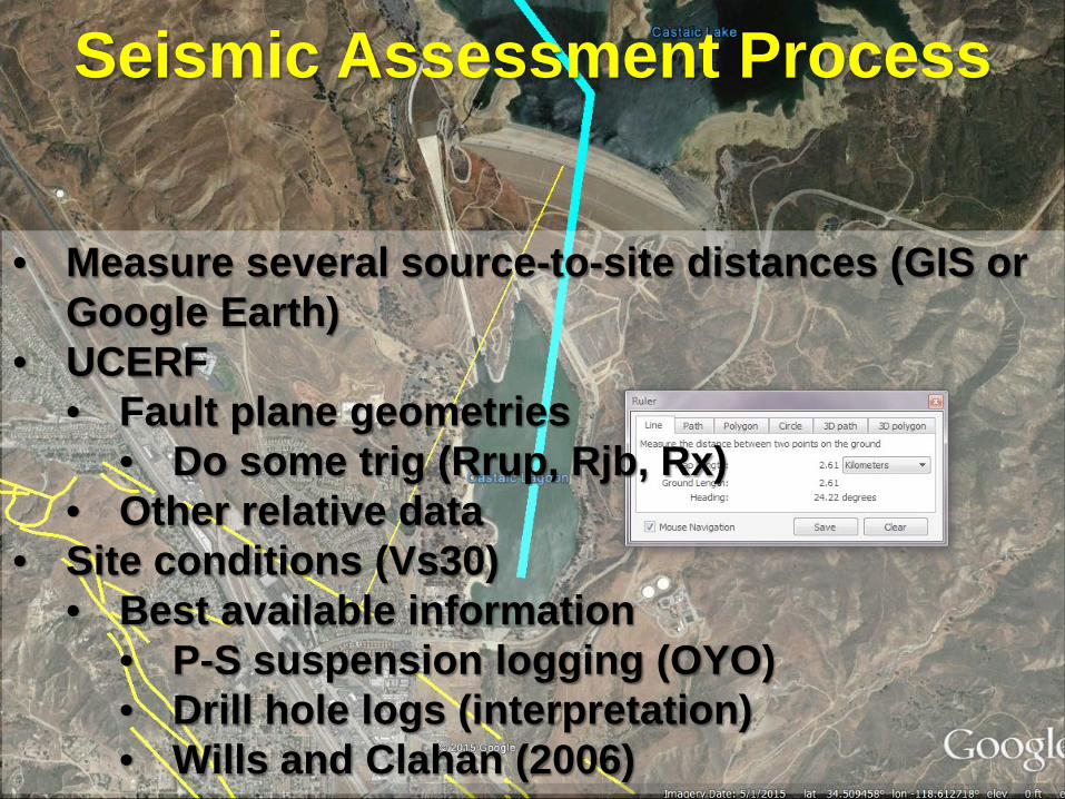
• Measure several source-to-site distances (GIS or Google Earth)
• UCERF• Fault plane geometries
• Do some trig (Rrup, Rjb, Rx)• Other relative data
• Site conditions (Vs30)• Best available information
• P-S suspension logging (OYO)• Drill hole logs (interpretation)• Wills and Clahan (2006)
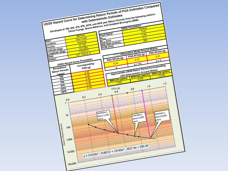
Seismic Assessment Process
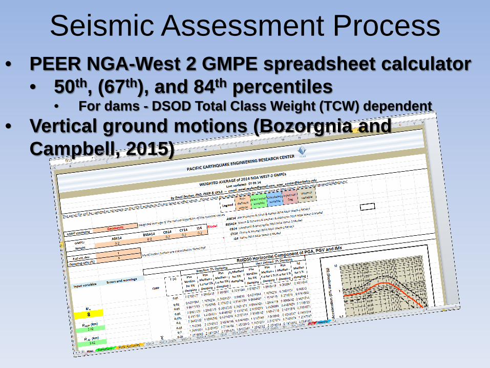
• PEER NGA-West 2 GMPE spreadsheet calculator• 50th, (67th), and 84th percentiles
• For dams - DSOD Total Class Weight (TCW) dependent• Vertical ground motions (Bozorgnia and
Campbell, 2015)
Seismic Assessment Process
• Directivity (waiting for PEER model)• Arias Intensity• Significant Duration• Estimate earthquake magnitude, fault slip
displacement (Wells and Coppersmith, 1994)*• 21 years of additional data available
Seismic Assessment Process
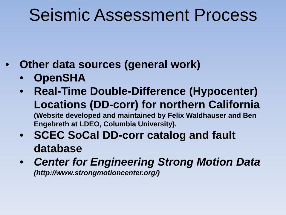
• Other data sources (general work)• OpenSHA• Real-Time Double-Difference (Hypocenter)
Locations (DD-corr) for northern California (Website developed and maintained by Felix Waldhauser and Ben Engebreth at LDEO, Columbia University).
• SCEC SoCal DD-corr catalog and fault database
• Center for Engineering Strong Motion Data (http://www.strongmotioncenter.org/)
Seismic Assessment Process
Seismic Assessment Process
Seismic Assessment Process
Seismic Assessment Process
Report for our engineers for their calculations, and for our Director’s Safety Review Board
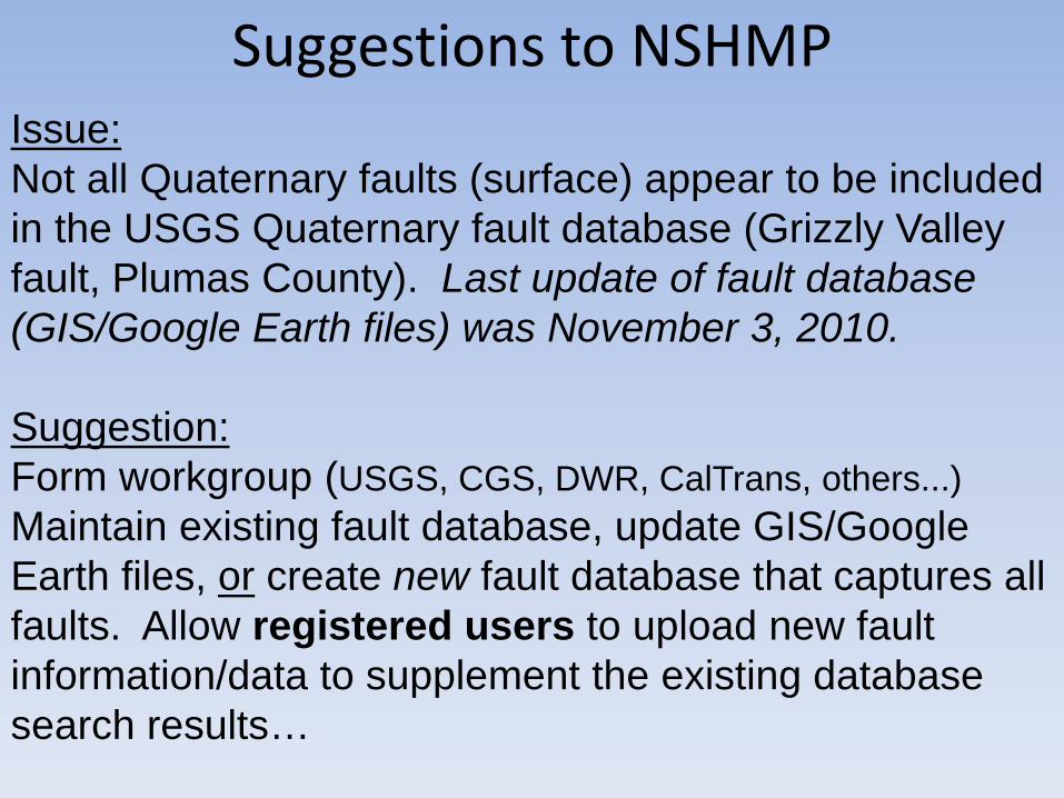
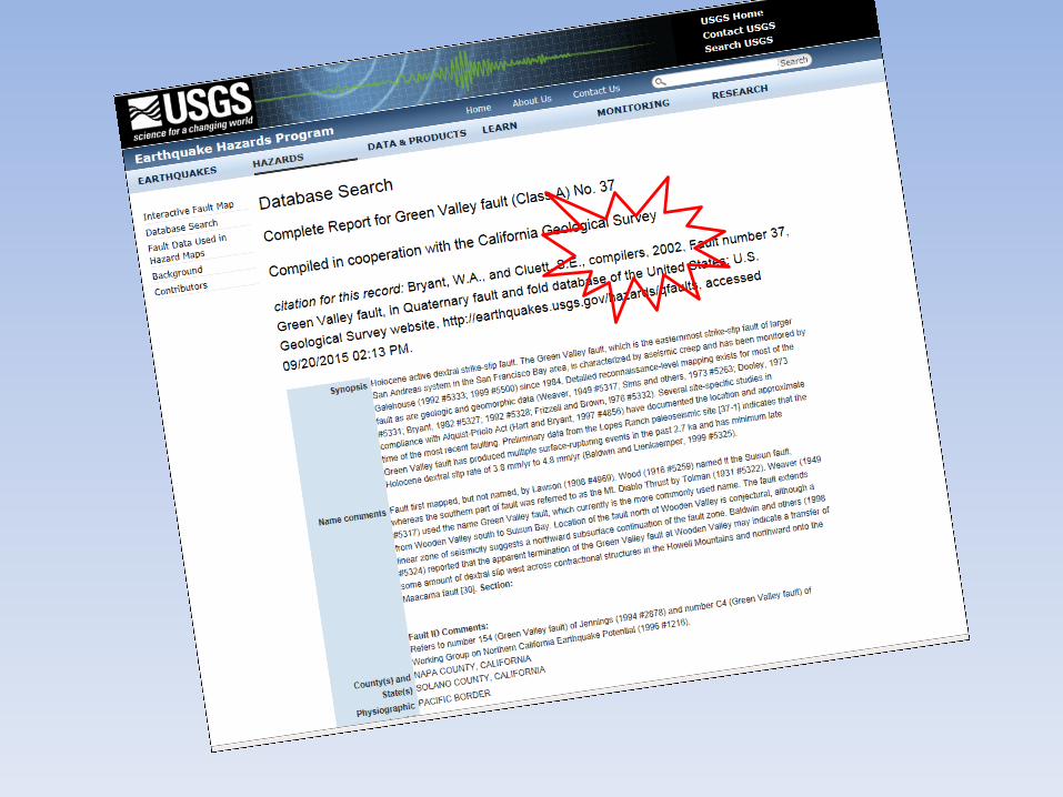
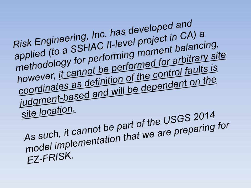
Issue: Not all Quaternary faults (surface) appear to be included in the USGS Quaternary fault database (Grizzly Valley fault, Plumas County). Last update of fault database (GIS/Google Earth files) was November 3, 2010.
Suggestion:Form workgroup (USGS, CGS, DWR, CalTrans, others...)Maintain existing fault database, update GIS/Google Earth files, or create new fault database that captures all faults. Allow registered users to upload new fault information/data to supplement the existing database search results…
Suggestions to NSHMP
Suggestions to NSHMP
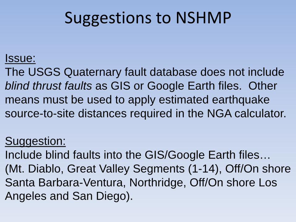
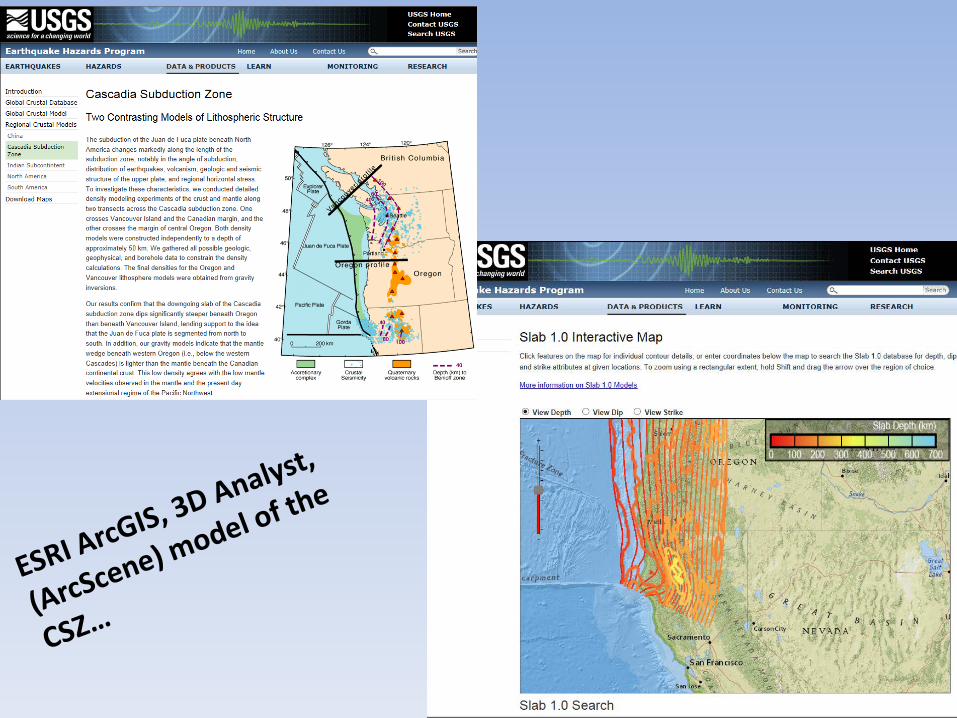
Issue:The USGS Quaternary fault database does not include blind thrust faults as GIS or Google Earth files. Other means must be used to apply estimated earthquake source-to-site distances required in the NGA calculator.
Suggestion:Include blind faults into the GIS/Google Earth files…(Mt. Diablo, Great Valley Segments (1-14), Off/On shore Santa Barbara-Ventura, Northridge, Off/On shore Los Angeles and San Diego).
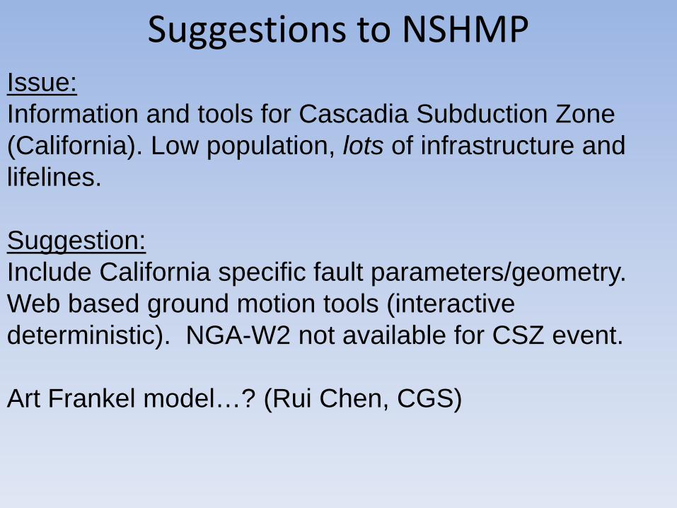
Issue: Information and tools for Cascadia Subduction Zone (California). Low population, lots of infrastructure and lifelines.
Suggestion:Include California specific fault parameters/geometry. Web based ground motion tools (interactive deterministic). NGA-W2 not available for CSZ event.
Art Frankel model…? (Rui Chen, CGS)
Suggestions to NSHMP
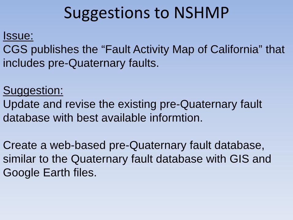
Issue:CGS publishes the “Fault Activity Map of California” that includes pre-Quaternary faults.
Suggestion:Update and revise the existing pre-Quaternary fault database with best available informtion.
Create a web-based pre-Quaternary fault database, similar to the Quaternary fault database with GIS and Google Earth files.
Suggestions to NSHMP
Suggestions to NSHMP
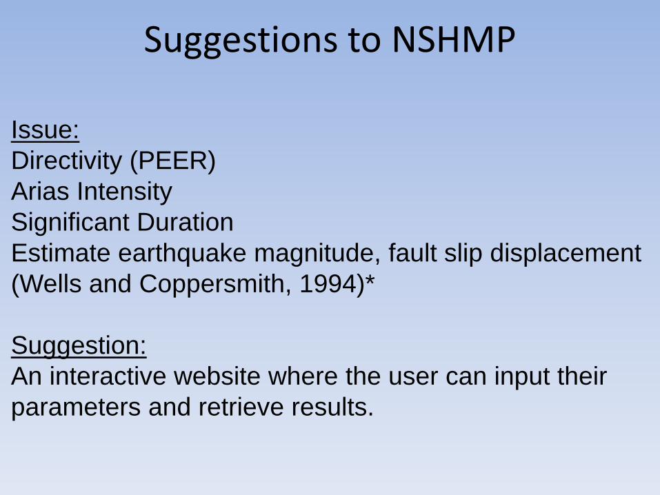
Issue:Directivity (PEER)Arias IntensitySignificant DurationEstimate earthquake magnitude, fault slip displacement (Wells and Coppersmith, 1994)*
Suggestion:An interactive website where the user can input their parameters and retrieve results.
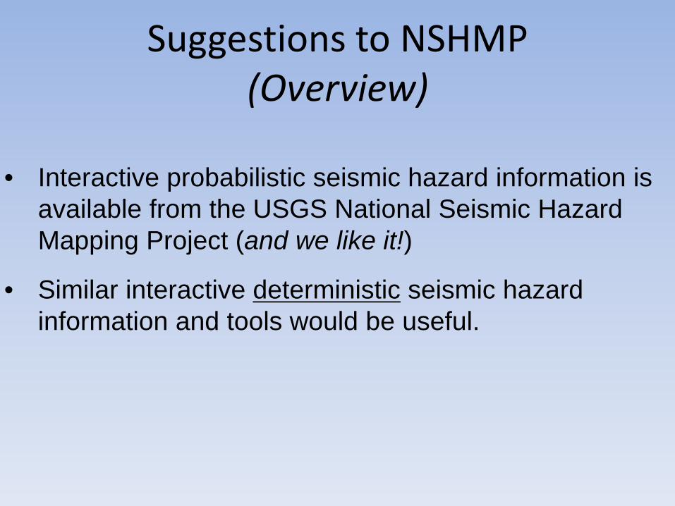
Suggestions to NSHMP(Overview)
• Interactive probabilistic seismic hazard information is available from the USGS National Seismic Hazard Mapping Project (and we like it!)
• Similar interactive deterministic seismic hazard information and tools would be useful.
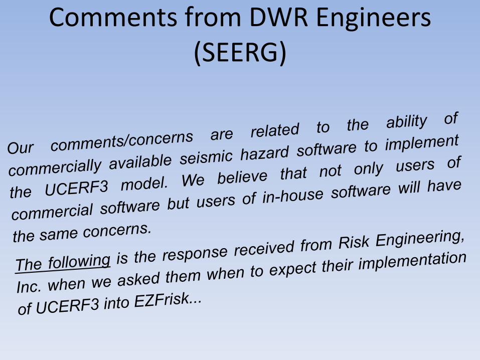
Comments from DWR Engineers (SEERG)
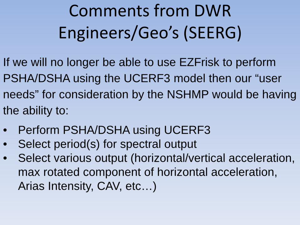
Comments from DWR Engineers/Geo’s (SEERG)
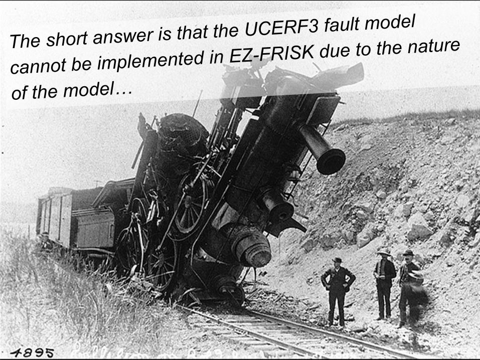
If we will no longer be able to use EZFrisk to perform PSHA/DSHA using the UCERF3 model then our “user needs” for consideration by the NSHMP would be having the ability to:
• Perform PSHA/DSHA using UCERF3• Select period(s) for spectral output• Select various output (horizontal/vertical acceleration,
max rotated component of horizontal acceleration, Arias Intensity, CAV, etc…)
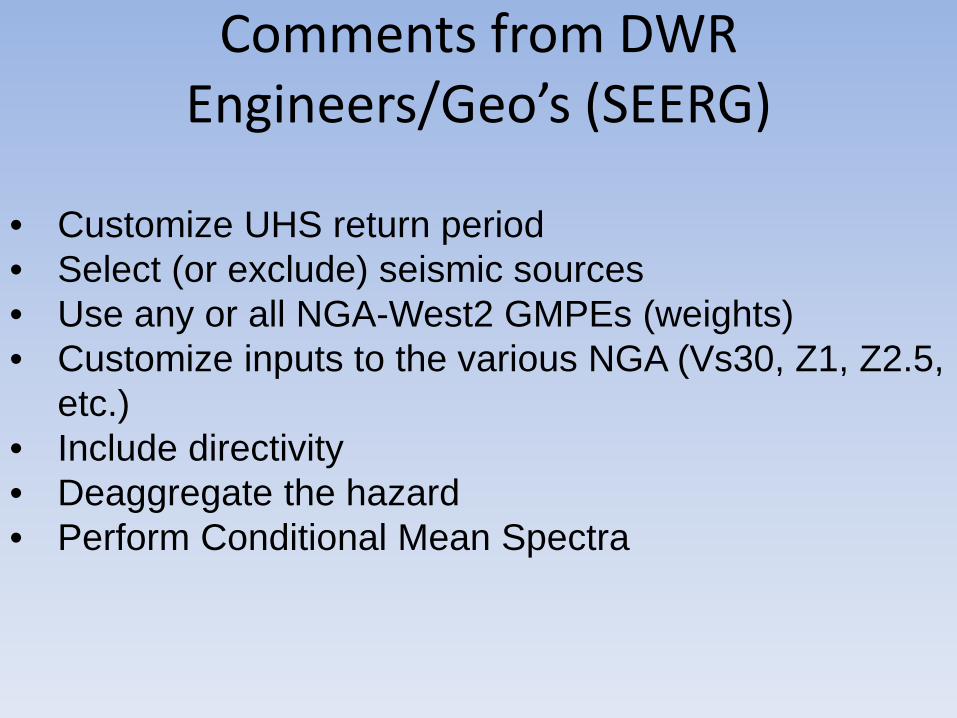
• Customize UHS return period• Select (or exclude) seismic sources• Use any or all NGA-West2 GMPEs (weights)• Customize inputs to the various NGA (Vs30, Z1, Z2.5,
etc.)• Include directivity• Deaggregate the hazard• Perform Conditional Mean Spectra
Comments from DWR Engineers/Geo’s (SEERG)
Seismic Hazard Analysis at the
California Department of Water Resources
Don Hoirup, CEG 2270
Senior Engineering Geologist, SpecialistCalifornia Department of Water Resources
Thank you