Embed Size (px)
Citation preview
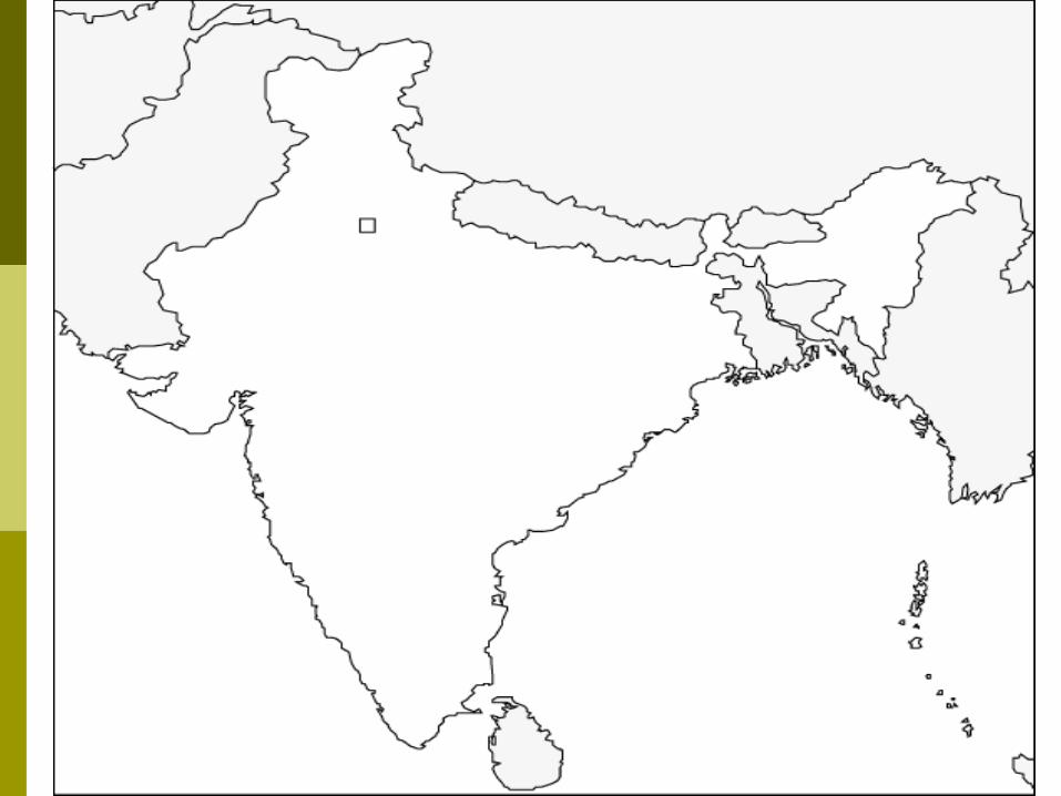
Ancient India Geography
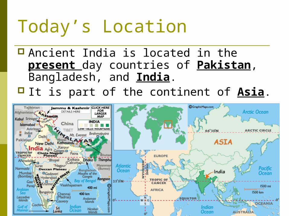
Today’s Location Ancient India is located in the present
day countries of Pakistan, Bangladesh, and India.
It is part of the continent of Asia.
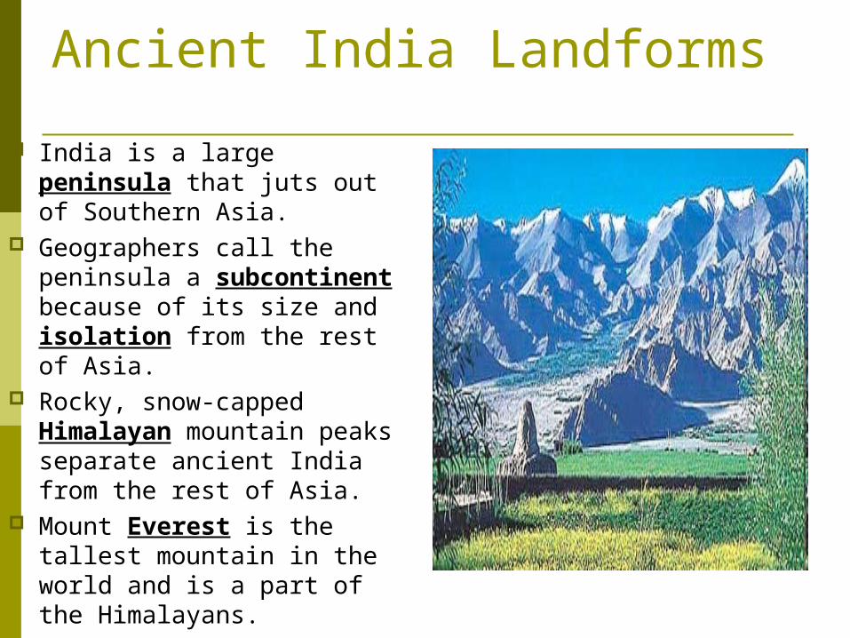
Ancient India Landforms
India is a large peninsula that juts out of Southern Asia.
Geographers call the peninsula a subcontinent because of its size and isolation from the rest of Asia.
Rocky, snow-capped Himalayan mountain peaks separate ancient India from the rest of Asia.
Mount Everest is the tallest mountain in the world and is a part of the Himalayans.
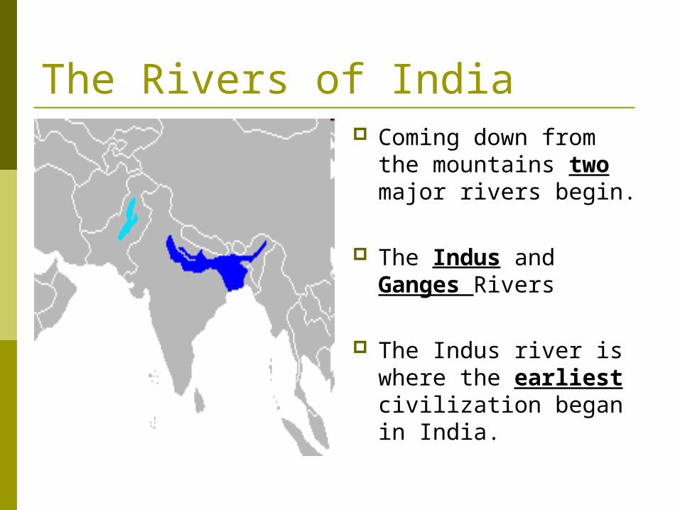
The Rivers of India Coming down from the
mountains two major rivers begin.
The Indus and Ganges Rivers
The Indus river is where the earliest civilization began in India.
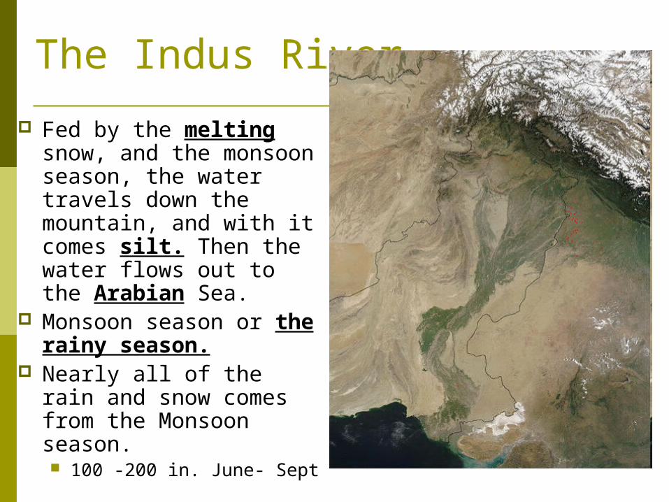
The Indus River
Fed by the melting snow, and the monsoon season, the water travels down the mountain, and with it comes silt. Then the water flows out to the Arabian Sea.
Monsoon season or the rainy season.
Nearly all of the rain and snow comes from the Monsoon season. 100 -200 in. June- Sept
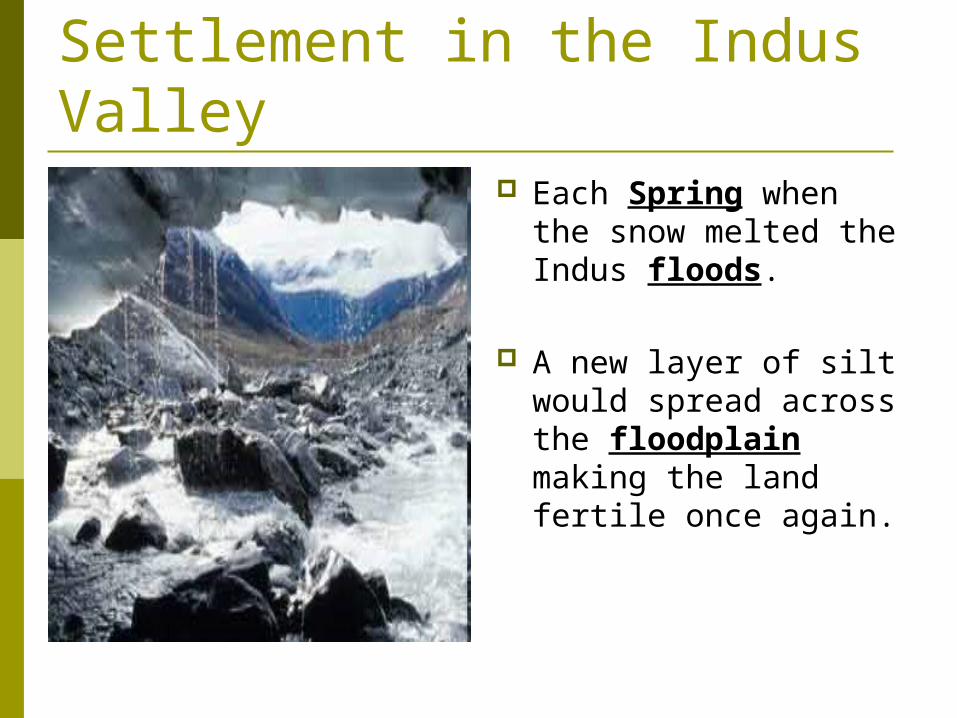
Settlement in the Indus Valley
Each Spring when the snow melted the Indus floods.
A new layer of silt would spread across the floodplain making the land fertile once again.
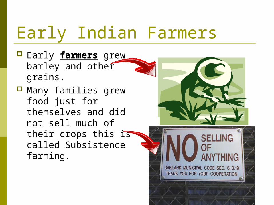
Early Indian Farmers Early farmers grew
barley and other grains.
Many families grew food just for themselves and did not sell much of their crops this is called Subsistence farming.
Same stuff just different place!!
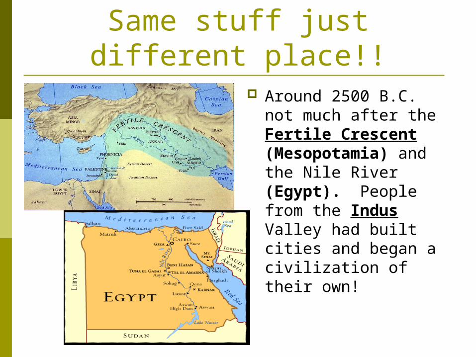
Around 2500 B.C. not much after the Fertile Crescent (Mesopotamia) and the Nile River (Egypt). People from the Indus Valley had built cities and began a civilization of their own!