Embed Size (px)
Citation preview

AP HuGUNIT 1 GEOGRAPHY: IT’S NATURE & PERSPECTIVES
(BASIC CONCEPTS)

Advanced Placement Human Geography
•First year taught as an AP course nationwide was during the 2000-2001 school year.
•1,700 students took the test in May 2001
•Over 67,500 students took the test in May 2010 making Human Geography one of the fastest growing Advanced Placement courses.
•Many across the US may not fully understand the impact Human Geography has on society. The next few slides will show the importance of Human Geography.

What Do You Call It?
Most people would call this area the Middle East. But when you think about it geographically, what is it the Middle East to?

Can this be the Middle East too?

Is This the Far East?

Or Is This the Far East?

The terms “Middle East” and “Far East” were in relation to Western Europe (mainly the British Empire) during the 18th and 19th centuries. The correct geographic terms for these places are Southwest Asia and East Asia.
Southwest Asia
East Asia

THE FIVE THEMES OF GEOGRAPHY
LocationPlaceHuman-Environment InteractionMovementRegions

LOCATIONWhere are we?
Absolute Location A latitude and longitude (global
location) or a street address (local location).
Paris France is 48o North Latitude and 2o East Longitude.
The White House is located at 1600 Pennsylvania Ave.
Relative Location Described by landmarks, time,
direction or distance. From one place to another.
Go 1 mile west on main street and turn left for 1 block.
You
are
Her
e

PLACEWhat is it like there, what kind of place is
it?
Human Characteristics
What are the main languages, customs, and beliefs.
How many people live, work, and visit a place.
Physical Characteristics
Landforms (mountains, rivers, etc.), climate, vegitation, wildlife, soil, etc.

Uniqueness of Places & Regions Place – location describes feature’s place on Earth
4 Ways to Identify:
1. Place names - toponym
2. Site – physical character of a place; essential in selecting locations for settlement; can be modified
3. Situation – location of a place relative to other places; valuable because (1) can find unfamiliar place, (2) understand importance of location (accessibility)
4. Mathematical location – precise description
1. Meridians (longitude) – arcs drawn between North & South; human creation (John Harrison); 15° = 1 hr of travel; Greenwich Mean Time & International Date Line
2. Parallels (latitude) – circles drawn around globe; measured by length of daylight & position of Sun & starts; 0° = largest circumference

Situation: Singapore
Fig. 1-7: Singapore is situated at a key location for international trade.

HUMAN-ENVIRONMENT INTERACTION
How do humans and the environment affect each other? We depend on it.
People depend on the Tennessee River for water and transportation.
We modify it.
People modify our environment by
heating and cooling buildings for comfort.
We adapt to it. We adapt to the environment by wearing
clothing suitable for summer (shorts) and
winter (coats), rain and shine.

MOVEMENT
How are people, goods, ideas moved from place to place? Human Movement
Trucks, Trains, Planes
Information Movement
Phones, computer (email), mail
Idea Movement
How do fads move from place to place?
TV, Radio, Magazines
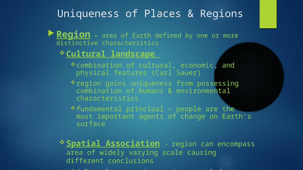
Uniqueness of Places & Regions Region – area of Earth defined by one or more distinctive characteristics
Cultural landscape combination of cultural, economic, and physical features (Carl
Sauer)region gains uniqueness from possessing combination of
humans & environmental characteristicsfundamental principal – people are the most important agents of
change on Earth’s surface
Spatial Association – region can encompass area of widely varying scale causing different conclusions
Cultural, economic, environmental factors w/ similar distributions have spatial association

REGIONS
How are Regions similar to and different from other places?Formal Regions
Regions defined by governmental or administrative boundaries (States, Countries, Cities)
Regions defined by similar characteristics (Corn Belt, Rocky Mountain region, Chinatown).
Functional Regions Regions defined by a function (newspaper service area, cell
phone coverage area).
Vernacular Regions Regions defined by peoples perception (middle east, the
south, etc.)

3 TYPES OF REGIONS1. FORMAL (Uniform/Homogeneous)
o Area within which everyone shares in common one or more distinctive characteristics
o Selected characteristic is present throughout; some easy to identify
o Predominant rather than universal
o Help explain broad global or national patterns
2. FUNCTIONAL (Nodal)
o Organized around a node or focal point; characteristic chosen dominates at central focus & diminishes in importance outward
o Use to display information about economic areas
o Technology breaking down traditional functional regions
3. VERNACULAR (Perceptual)
o Place that people believe exists as part of their cultural identity; emerge from people’s informal sense of place rather than scientific model
o Mental Map – internal representation

Formal and Functional Regions
Fig. 1-11: The state of Iowa is an example of a formal region; the areas of influence of various television stations are examples of functional regions.

Vernacular Regions
Fig. 1-12: A number of features are often used to define the South as a vernacular region, each of which identifies somewhat different boundaries.

Remembering the 5 themes
If you can’t remembering what they are just ask MR. HELP!!!M – MovementR – RegionsHE – Human Environment interactionL – LocationP - Place

How Geographers Address Location Maps
Early mapmaking
Babylonians – earliest surviving on clay tablet about 2300BC
Eratosthenes – 1st to use “geography”; accepted earth as spherical; correctly divided Earth into 5 climatic regions
Ptolemy – used info from merchants & sailors; codified basic principles of mapmaking
Age of Exploration & Discovery – Ptolemy rediscovered & translated
Mercator & Ortelius – created more accurate maps
By 17th century, accurately displayed the outline of most continents & positions of oceans

Types of Maps Cylindrical
Shows direction BUT loses distance
Mercator Map Projection
Planar

MAPS (con’t) Map scale How much of Earth’s surface to depict on the map?
Scale – relationship of a feature’s size on a map to its actual size on Earth
Appropriate scale depends on the information being portrayed
3 ways to present: (1) fraction; (2) ratio; (3) written word

Scale DifferencesMaps of Washington State
Fig. 1-3: The effects of scale in maps of Washington State. (Scales from 1:10 million to 1:10,000)

MAP PROJECTION Scientific method of transferring locations on Earth’s surface to a
flat map
4 types of problems of distortion (especially severe on world maps)
1. Shape – more elongated or squat than in reality
2. Distance – may be increased or decreased
3. Relative Size – one area may appear larger than another on a map but is in reality smaller
4. Direction – from one place to another can be distorted
Types of projection: Equal area – minimizes distortion; problem of interruption
Robinson – uninterrupted; allocates space for oceans, land areas smaller
Mercator – uninterrupted; little shape distortion; area towards poles is grossly distorted (Greenland vs Africa/South America)

CULTURAL ECOLOGY Geographic study of human-environment relationships
Humboldt & Ritter urged the adoption of scientific inquiry; concentrated on how physical environment caused social development => environmental determinism
Possibilism physical environment may limit some human actions, but people have the ability to adjust to their environment
People can choose a course of action from many alternatives in the physical environment

PHYSICAL PROCESSES Climate – long-term average weather condition at a
particular location Koppen System => divides world into 5 main regions Influences human activities food production
Vegetation 4 MAJOR BIOMES
1. FOREST – trees form continuous canopy; covers large % of Earth’s surface
2. SAVANNA – mixture of trees & grasses
3. GRASSLAND – grass rather than trees; low precipitation (American prairies)
4. DESERT – essentially no vegetation; dispersed adaptive plants

Similarity of Different Places Scale: From local to global
Globalization of economy most economic activities in one region are influenced by interaction w/ decision makers
elsewhere
transnational corporations; has led to specialization at local level
has increased economic differences
Globalization of culture increasingly uniform cultural preferences produce uniform “global” landscapes of
material artifacts & of cultural values
religion & language part of globalization of cultural beliefs & forms
Determination to keep local cultural traditions can lead to intolerance
People residing in different places are displaying fewer differences & more similarities in their cultural preferences
Has not destroyed uniqueness of an individual place’s culture & economy

Diffusionmovement of any
characteristic Relocation Diffusion Physical spread of cultures, ideas, & diseases through people
Migration…..people bring culture with them (migration diffusion)
Expansion Diffusion Physical spread from a central node or hearth
Hierarchical…..group spreads (usually social elite)
The “way to dress”……the “music to listen to”
Contagious…..usually associated with disease
Others…..the internet
Stimulus…..take part of an idea and spread to create a new product
Windows operating system taken from