Embed Size (px)
Citation preview
1
ArcGIS 3D Analystby
Jackie Rosenstern
Overview3D Analyst Extensions/Applications
ConceptsDemonstration
2
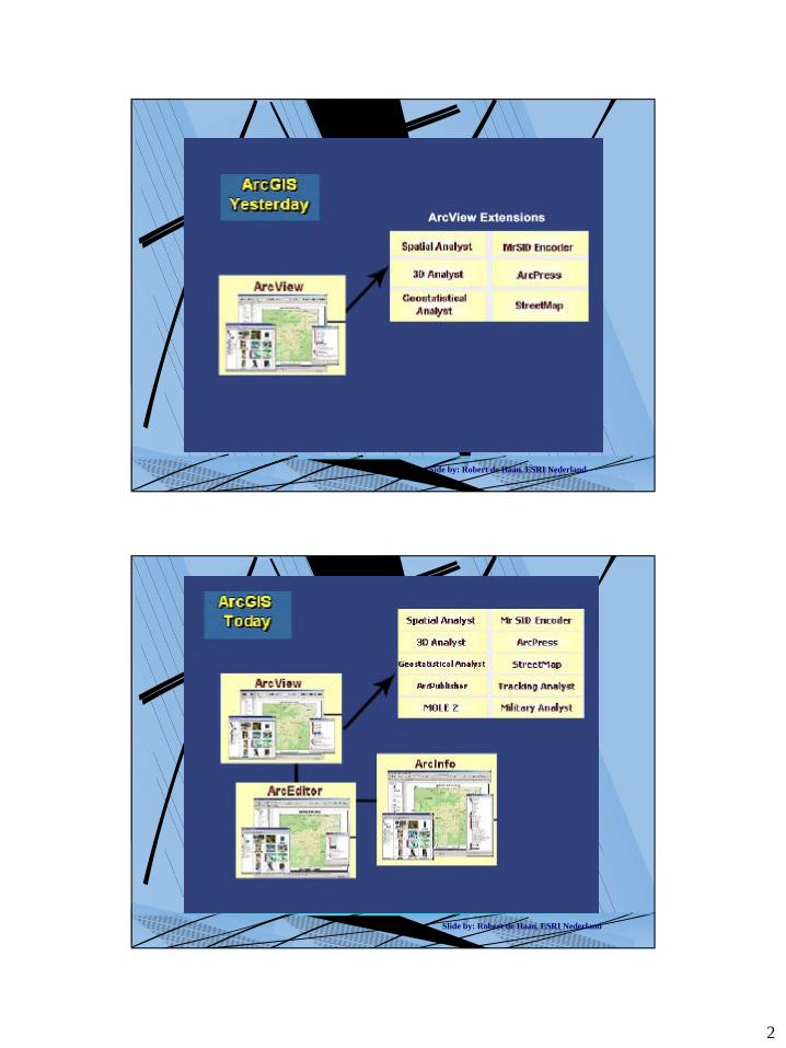
Side by: Robert de Haan, ESRI Nederland
Slide by: Robert de Haan, ESRI Nederland
3
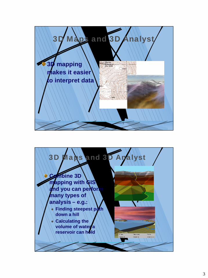
3D Maps and 3D Analyst
3D mapping makes it easier to interpret data
3D Maps and 3D Analyst
Combine 3D mapping with GIS and you can perform many types of analysis – e.g.:l Finding steepest path
down a hilll Calculating the
volume of water a reservoir can hold
4
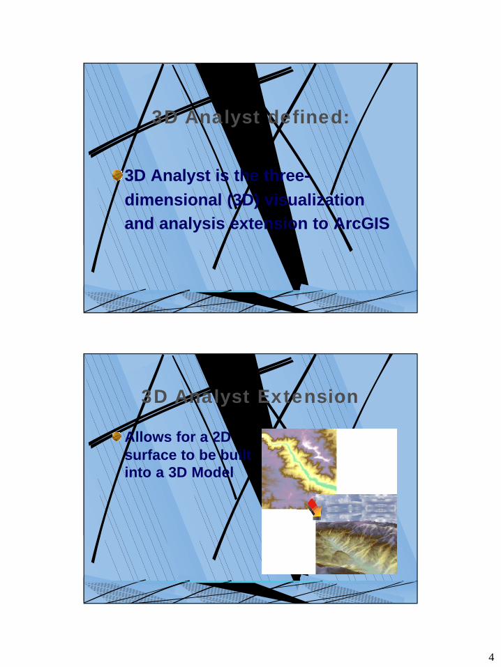
3D Analyst defined:
3D Analyst is the three-dimensional (3D) visualization and analysis extension to ArcGIS
3D Analyst Extension
Allows for a 2D surface to be built into a 3D Model
5
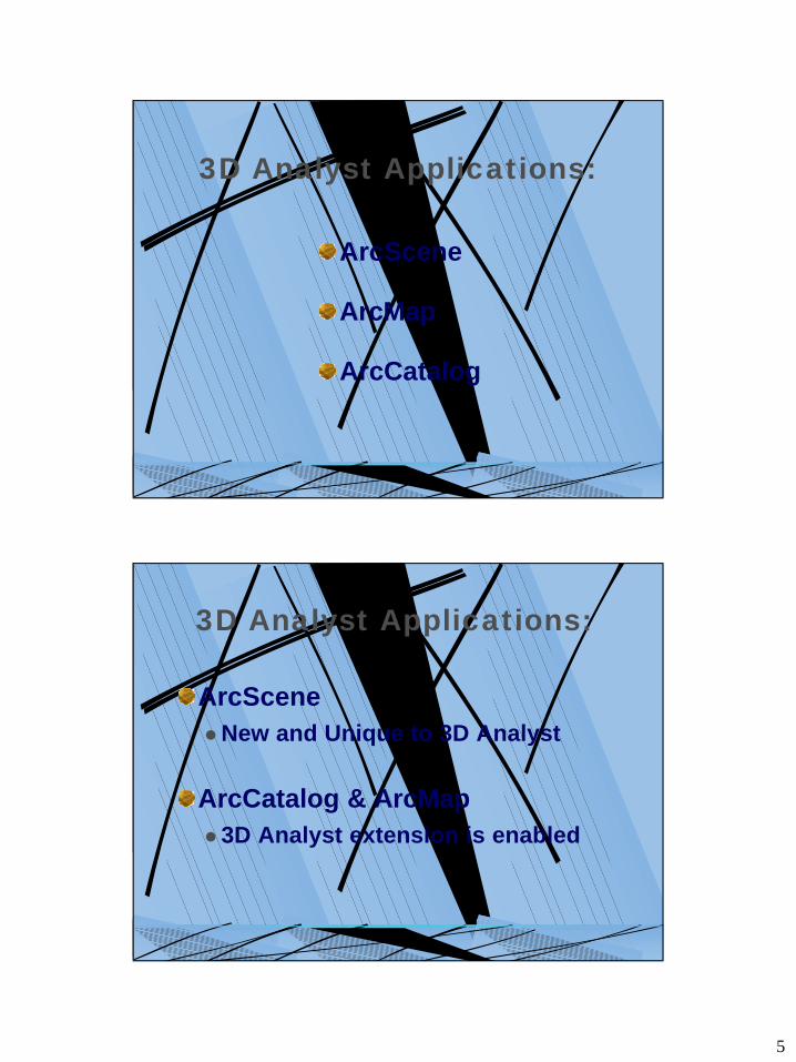
3D Analyst Applications:
ArcScene
ArcMap
ArcCatalog
3D Analyst Applications:
ArcScenelNew and Unique to 3D Analyst
ArcCatalog & ArcMapl 3D Analyst extension is enabled
6
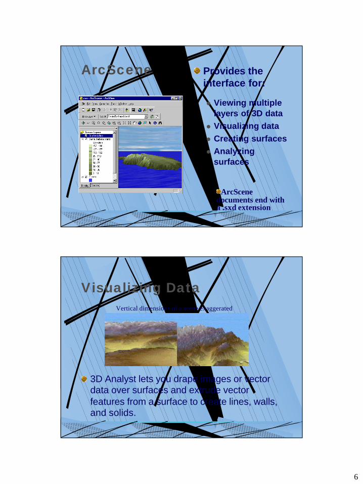
ArcScene Provides the interface for:
l Viewing multiple layers of 3D data
l Visualizing data l Creating surfaces l Analyzing
surfaces
ArcScenedocuments end with a .sxd extension
Visualizing Data
3D Analyst lets you drape images or vector data over surfaces and extrude vector features from a surface to create lines, walls, and solids.
Vertical dimensions of a scene exaggerated
7
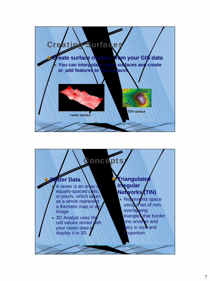
Creating SurfacesCreate surface models from your GIS datal You can interpolate raster surfaces and create
or add features to TIN surfaces
raster surfaceTIN surface
Concepts:
Raster Datal A raster is an array of
equally-spaced cells, or pixels, which taken as a whole represent a thematic map or an image
l 3D Analyst uses the cell values stored with your raster data to display it in 3D
Triangulated Irregular Networks (TIN)l Represents space
using a set of non-overlapping triangles that border one another and vary in size and proportion
8
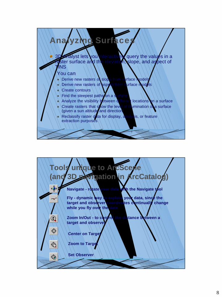
Analyzing Surfaces
3D Analyst lets you interactively query the values in a raster surface and the elevation, slope, and aspect of TINSYou can:l Derive new rasters of slope from surface models l Derive new rasters of aspect from surface models l Create contours l Find the steepest paths on a surface l Analyze the visibility between different locations on a surfacel Create rasters that show the level of illumination of a surface
(given a sun altitude and direction) l Reclassify raster data for display, analysis, or feature
extraction purposes
Tools unique to ArcScene(and 3D navigation in ArcCatalog)
Navigate - rotate your data with the Navigate tool
Fly - dynamic way to explore your data, since the target and observer coordinates continually change while you fly over the data
Zoom In/Out - to control the distance between a target and observer
Center on Target
Zoom to Target
Set Observer
9
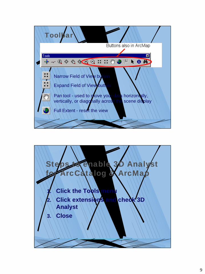
Toolbar
Narrow Field of View button
Pan tool - used to move your data horizontally, vertically, or diagonally across the scene display
Full Extent - reset the view
Expand Field of View button
Steps to enable 3D Analyst for ArcCatalog & ArcMap
1. Click the Tools menu2. Click extensions and check 3D
Analyst3. Close
10
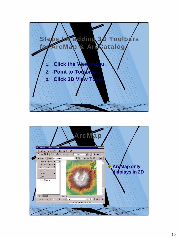
Steps for adding 3D Toolbars for ArcMap & ArcCatalog
1. Click the View menu. 2. Point to Toolbars. 3. Click 3D View Tools.
ArcMap
ArcMap only displays in 2D
11
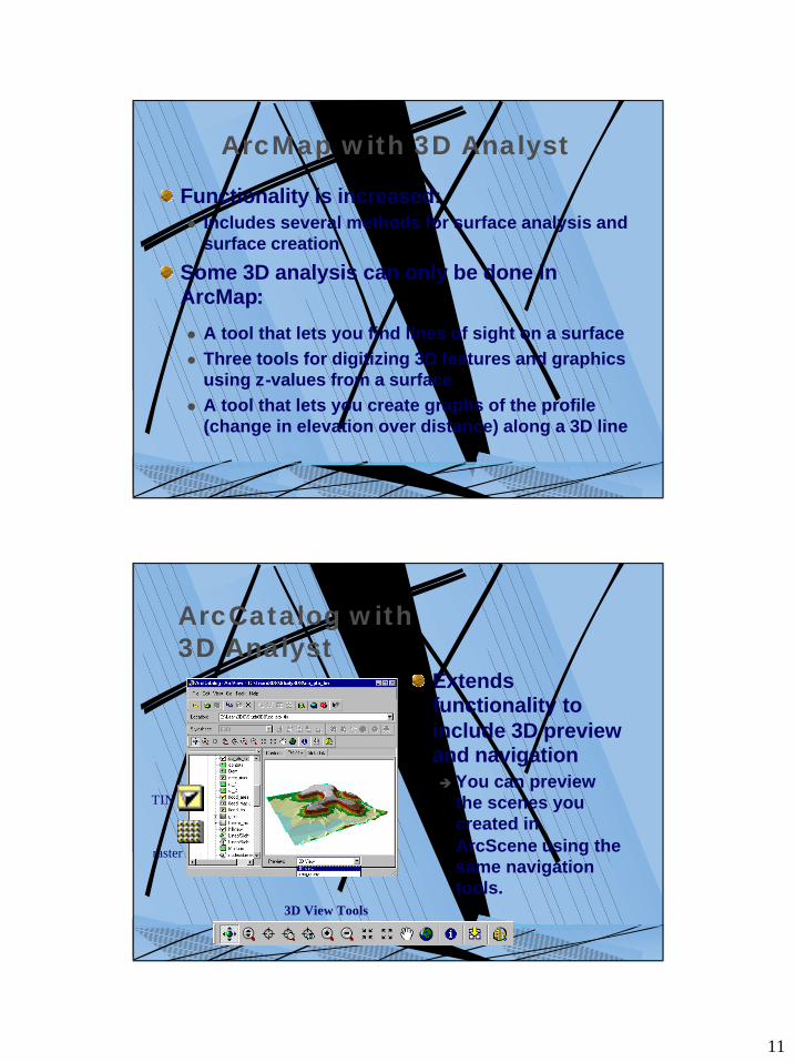
ArcMap with 3D Analyst
Functionality is increased:l Includes several methods for surface analysis and
surface creation
Some 3D analysis can only be done in ArcMap:
l A tool that lets you find lines of sight on a surface l Three tools for digitizing 3D features and graphics
using z-values from a surface l A tool that lets you create graphs of the profile
(change in elevation over distance) along a 3D line
ArcCatalog with 3D Analyst
Extends functionality to include 3D preview and navigationè You can preview
the scenes you created in ArcScene using the same navigation tools.
3D View Tools
TIN
raster
12
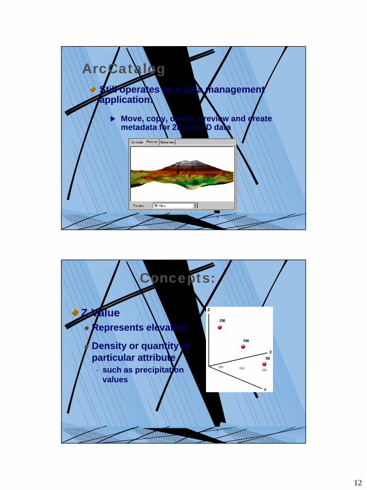
ArcCatalogStill operates as a data management application:
u Move, copy, delete, preview and create metadata for 2D and 3D data
Concepts:
Z-Valuel Represents elevation
l Density or quantity of particular attributeú such as precipitation
values
13
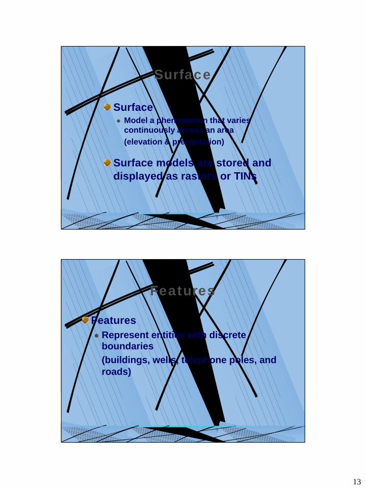
Surface
Surface l Model a phenomenon that varies
continuously across an area(elevation & precipitation)
Surface models are stored and displayed as rasters or TINs
Features
Featuresl Represent entities with discrete
boundaries(buildings, wells, telephone poles, and roads)
14
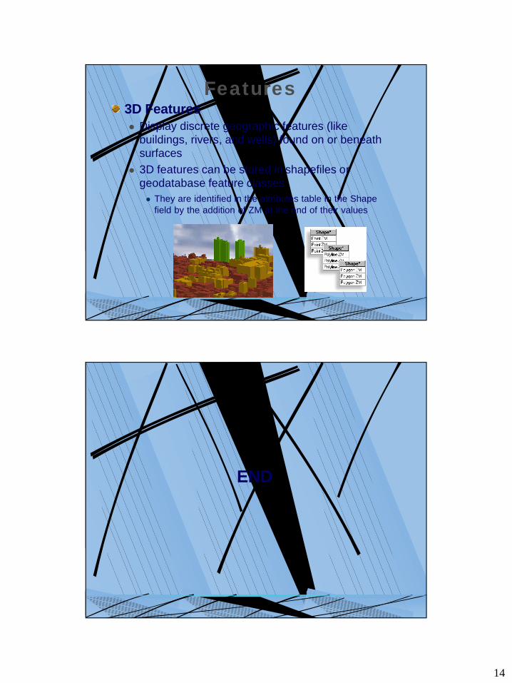
Features3D Featuresl Display discrete geographic features (like
buildings, rivers, and wells) found on or beneath surfaces
l 3D features can be stored in shapefiles or geodatabase feature classesl They are identified in the attributes table in the Shape
field by the addition of ZM at the end of their values
END


![Ovi maps 3d[Las Vegas]](https://img.pdfslide.net/doc/110x75/5465f5dfaf795982288b62c3/ovi-maps-3dlas-vegas.jpg)