Embed Size (px)
Citation preview
BIKE HIKES FROM DOHENY Ed Neely
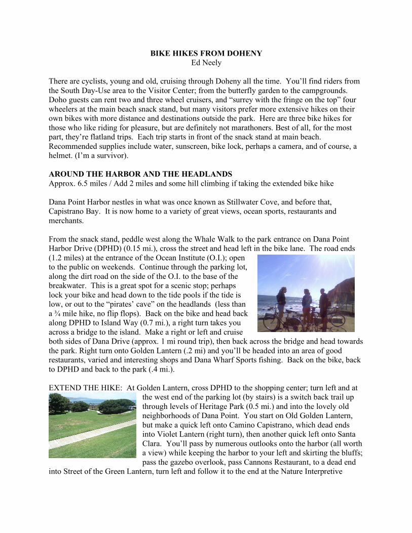
There are cyclists, young and old, cruising through Doheny all the time. You’ll find riders from the South Day-Use area to the Visitor Center; from the butterfly garden to the campgrounds. Doho guests can rent two and three wheel cruisers, and “surrey with the fringe on the top” four wheelers at the main beach snack stand, but many visitors prefer more extensive hikes on their own bikes with more distance and destinations outside the park. Here are three bike hikes for those who like riding for pleasure, but are definitely not marathoners. Best of all, for the most part, they’re flatland trips. Each trip starts in front of the snack stand at main beach. Recommended supplies include water, sunscreen, bike lock, perhaps a camera, and of course, a helmet. (I’m a survivor). AROUND THE HARBOR AND THE HEADLANDS Approx. 6.5 miles / Add 2 miles and some hill climbing if taking the extended bike hike Dana Point Harbor nestles in what was once known as Stillwater Cove, and before that, Capistrano Bay. It is now home to a variety of great views, ocean sports, restaurants and merchants. From the snack stand, peddle west along the Whale Walk to the park entrance on Dana Point Harbor Drive (DPHD) (0.15 mi.), cross the street and head left in the bike lane. The road ends (1.2 miles) at the entrance of the Ocean Institute (O.I.); open to the public on weekends. Continue through the parking lot, along the dirt road on the side of the O.I. to the base of the breakwater. This is a great spot for a scenic stop; perhaps lock your bike and head down to the tide pools if the tide is low, or out to the “pirates’ cave” on the headlands (less than a ! mile hike, no flip flops). Back on the bike and head back along DPHD to Island Way (0.7 mi.), a right turn takes you across a bridge to the island. Make a right or left and cruise both sides of Dana Drive (approx. 1 mi round trip), then back across the bridge and head towards the park. Right turn onto Golden Lantern (.2 mi) and you’ll be headed into an area of good restaurants, varied and interesting shops and Dana Wharf Sports fishing. Back on the bike, back to DPHD and back to the park (.4 mi.). EXTEND THE HIKE: At Golden Lantern, cross DPHD to the shopping center; turn left and at
the west end of the parking lot (by stairs) is a switch back trail up through levels of Heritage Park (0.5 mi.) and into the lovely old neighborhoods of Dana Point. You start on Old Golden Lantern, but make a quick left onto Camino Capistrano, which dead ends into Violet Lantern (right turn), then another quick left onto Santa Clara. You’ll pass by numerous outlooks onto the harbor (all worth a view) while keeping the harbor to your left and skirting the bluffs; pass the gazebo overlook, pass Cannons Restaurant, to a dead end
into Street of the Green Lantern, turn left and follow it to the end at the Nature Interpretive
Center (another great, short walking hike along the top of the headlands). Back on your bike and down Street of the Green Lantern to Cove Rd., right turn and downhill to DPHD. Left turn and head back to Doheny. SAN JUAN CAPISTRANO Approx. 7.2 miles round trip, not including any scenic side trips through old San Juan. The recorded history of San Juan Capistrano is rich, extending back hundreds of years. This bike hike takes you through the oldest continuously occupied neighborhood in California, near the mission and passed interesting and unique shops.
From main beach snack stand, ride passed the lifeguard tower to the entrance of San Juan Creek Bike Trail and head inland (north). At the confluence of San Juan Creek and Trabuco Creek (2.5 miles), you’ll find a walking bridge you will cross, turn left along the creek and continue on the trail crossing under the Del Obispo Rd. Bridge (0.5 mi,). When you reach the other side of the bridge, make a quick U-turn leaving the trail onto Del Obispo Rd. heading towards town, then a quick left onto Paseo Adelanto, ride
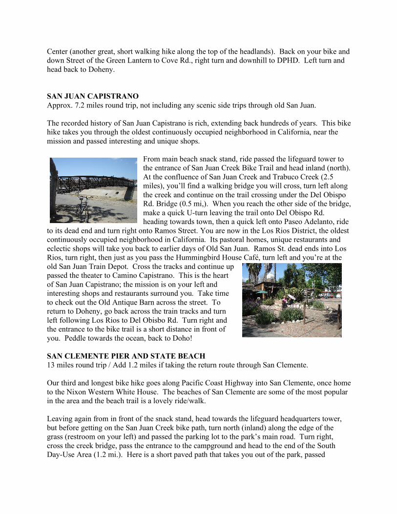
to its dead end and turn right onto Ramos Street. You are now in the Los Rios District, the oldest continuously occupied neighborhood in California. Its pastoral homes, unique restaurants and eclectic shops will take you back to earlier days of Old San Juan. Ramos St. dead ends into Los Rios, turn right, then just as you pass the Hummingbird House Café, turn left and you’re at the old San Juan Train Depot. Cross the tracks and continue up passed the theater to Camino Capistrano. This is the heart of San Juan Capistrano; the mission is on your left and interesting shops and restaurants surround you. Take time to check out the Old Antique Barn across the street. To return to Doheny, go back across the train tracks and turn left following Los Rios to Del Obisbo Rd. Turn right and the entrance to the bike trail is a short distance in front of you. Peddle towards the ocean, back to Doho! SAN CLEMENTE PIER AND STATE BEACH 13 miles round trip / Add 1.2 miles if taking the return route through San Clemente. Our third and longest bike hike goes along Pacific Coast Highway into San Clemente, once home to the Nixon Western White House. The beaches of San Clemente are some of the most popular in the area and the beach trail is a lovely ride/walk. Leaving again from in front of the snack stand, head towards the lifeguard headquarters tower, but before getting on the San Juan Creek bike path, turn north (inland) along the edge of the grass (restroom on your left) and passed the parking lot to the park’s main road. Turn right, cross the creek bridge, pass the entrance to the campground and head to the end of the South Day-Use Area (1.2 mi.). Here is a short paved path that takes you out of the park, passed
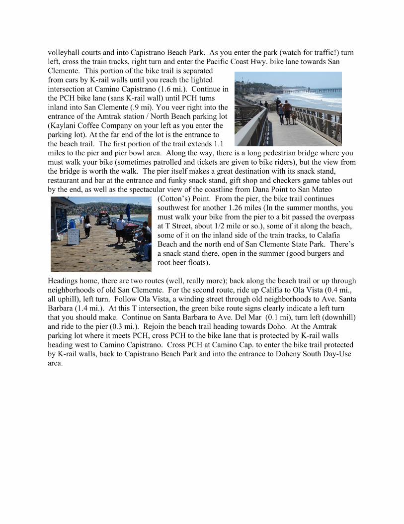
volleyball courts and into Capistrano Beach Park. As you enter the park (watch for traffic!) turn left, cross the train tracks, right turn and enter the Pacific Coast Hwy. bike lane towards San Clemente. This portion of the bike trail is separated from cars by K-rail walls until you reach the lighted intersection at Camino Capistrano (1.6 mi.). Continue in the PCH bike lane (sans K-rail wall) until PCH turns inland into San Clemente (.9 mi). You veer right into the entrance of the Amtrak station / North Beach parking lot (Kaylani Coffee Company on your left as you enter the parking lot). At the far end of the lot is the entrance to the beach trail. The first portion of the trail extends 1.1 miles to the pier and pier bowl area. Along the way, there is a long pedestrian bridge where you must walk your bike (sometimes patrolled and tickets are given to bike riders), but the view from the bridge is worth the walk. The pier itself makes a great destination with its snack stand, restaurant and bar at the entrance and funky snack stand, gift shop and checkers game tables out by the end, as well as the spectacular view of the coastline from Dana Point to San Mateo
(Cotton’s) Point. From the pier, the bike trail continues southwest for another 1.26 miles (In the summer months, you must walk your bike from the pier to a bit passed the overpass at T Street, about 1/2 mile or so.), some of it along the beach, some of it on the inland side of the train tracks, to Calafia Beach and the north end of San Clemente State Park. There’s a snack stand there, open in the summer (good burgers and root beer floats).
Headings home, there are two routes (well, really more); back along the beach trail or up through neighborhoods of old San Clemente. For the second route, ride up Califia to Ola Vista (0.4 mi., all uphill), left turn. Follow Ola Vista, a winding street through old neighborhoods to Ave. Santa Barbara (1.4 mi.). At this T intersection, the green bike route signs clearly indicate a left turn that you should make. Continue on Santa Barbara to Ave. Del Mar (0.1 mi), turn left (downhill) and ride to the pier (0.3 mi.). Rejoin the beach trail heading towards Doho. At the Amtrak parking lot where it meets PCH, cross PCH to the bike lane that is protected by K-rail walls heading west to Camino Capistrano. Cross PCH at Camino Cap. to enter the bike trail protected by K-rail walls, back to Capistrano Beach Park and into the entrance to Doheny South Day-Use area.