Embed Size (px)
Citation preview
ARTICLE I
NATIONAL TERRITORY
The national territory comprises the Philippine archipelago, with all the islands
and waters embraced therein, and all other territories over which the
Philippines has sovereignty or jurisdiction, consisting of its terrestrial, fluvial
and aerial domains, including its territorial sea, the seabed, the subsoil, the
insular shelves, and other submarine areas. The waters around, between, and
connecting the islands of the archipelago, regardless of their breadth and
dimensions, form part of the internal waters of the Philippines.
PHILIPPINE NATIONAL
TERRITORY
Territory is defined as the fixed portion on the surface of the earth on which
the State settles and over which it has supreme authority. The components of
the territory of the state are the terrestrial, fluvial, maritime and aerial
domains.
Land Territory (Terrestrial Domain)
The territorial domain refers to the land mass, which may be integrate or
dismembered, or partly bound by water or consist of one whole island. It may
also be composed of several islands, like the Philippines, which are also known
as mid-ocean archipelagos as distinguished from the coastal archipelagoes like
Greece.
The terrestrial domain includes properties of public dominion as well as
properties of private ownership.
• Public dominion – includes those for public use, those for public service, and
those for the development of national wealth ( roads, government buildings,
forest, and mineral lands)
• Private ownership – consists of patrimonial properties of the government
such as lands acquired through escheat proceedings and of those vested in
individuals whether owned singly or collectively.
In some jurisdictions, escheat also refers to the title transfer of financial assets such as bank deposits
and unclaimed securities in accounts that have been dormant for a very long period of time to a state
authority.
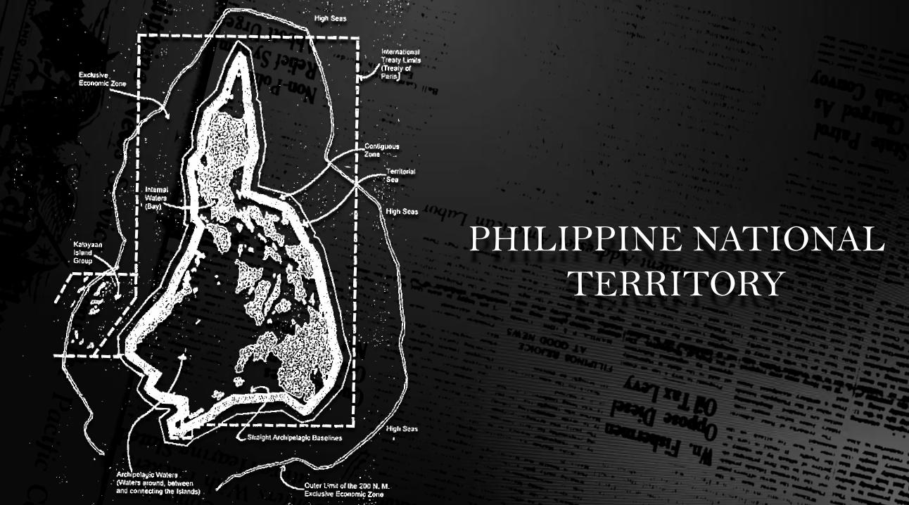
A. Internal waters
Covers all water and waterways on the landward side of the baseline. The
coastal state is free to set laws, regulate use, and use any resource. Foreign
vessels have no right of passage within internal waters.
Maritime Territory (Fluvial and Maritime Domain)
B. Territorial waters
Out to 12 nautical miles from the baseline, the coastal state is free to set laws, regulate use,
and use any resource. Vessels were given the right of "innocent passage" through any
territorial waters, with strategic straits allowing the passage of military craft as "transit
passage", in that naval vessels are allowed to maintain postures that would be illegal in
territorial waters. "Innocent passage" is defined by the convention as passing through waters
in an expeditious and continuous manner, which is not “prejudicial to the peace, good order
or the security” of the coastal state. Fishing, polluting, weapons practice, and spying are not
“innocent", and submarines and other underwater vehicles are required to navigate on the
surface and to show their flag. Nations can also temporarily suspend innocent passage in
specific areas of their territorial seas, if doing so is essential for the protection of its
security.
C. Archipelagic waters
The convention set the definition of Archipelagic States in Part IV, which also
defines how the state can draw its territorial borders. A baseline is drawn
between the outermost points of the outermost islands, subject to these points
being sufficiently close to one another. All waters inside this baseline will be
Archipelagic Waters and included as part of the state's internal waters.
D. Contiguous zone
Beyond the 12 nautical mile limit there was a further 12 nautical miles or 24
nautical miles from the territorial sea baselines limit, the contiguous zone, in
which a state could continue to enforce laws regarding activities such as
smuggling or illegal immigration.
E. Exclusive economic zones (EEZs)
Extend 200 nautical miles from the baseline. Within this area, the coastal
nation has sole exploitation rights over all natural resources. The EEZs were
introduced to halt the increasingly heated clashes over fishing rights, although
oil was also becoming important. The success of an offshore oil platform in the
Gulf of Mexico in 1947 was soon repeated elsewhere in the world, and by
1970 it was technically feasible to operate in waters 4000 metres deep. Foreign
nations have the freedom of navigation and overflight, subject to the regulation
of the coastal states. Foreign states may also lay submarine pipes and cables.
F. Continental shelf
The continental shelf is defined as the natural prolongation of the land
territory to the continental margin’s outer edge, or 200 nautical miles from the
coastal state’s baseline, whichever is greater. State’s continental shelf may
exceed 200 nautical miles until the natural prolongation ends, but it may never
exceed 350 nautical miles, or 100 nautical miles beyond 2,500 meter isobath,
which is a line connecting the depth of 2,500 meters. Coastal states have the
right to harvest mineral and non-living material in the subsoil of its
continental shelf, to the exclusion of others.
One of the domains of territory is the aerial domain. It includes the air directly
above the state's terrestrial and fluvial domains, all the way up to where the
outer space begins.
The International Convention on Civil Aviation holds that every state has
complete and exclusive sovereignty over the air space above its territory. It also
regulates flight of civil aircraft over the territory of another state except by
special agreement or otherwise, and in accordance with the terms thereof.
With the development of modern air navigation, it has been suggested as a
better rule to allow innocent passage to a certain height in order to provide
freedom of transportation.
The Outer Space Theory is an international multilateral agreement that sets
forth the fundamental principles governing the international law of outer
space. Over eighty (80) states are parties to the Outer Space Treaty.
The Outer Space Theory provides that outer space, including the moon and
other celestial bodies, is free for exploration and use by all states and cannot
be claimed by any state. Any exploration and use must be for the benefit of all
states on a basis of equality and in accordance with international law and due
regard to interests of other states. The explorations and use must not result to
any harmful contamination of the outer space and the earth as well.
The state conducting space activities must as far as practicable disclose
information about such activities. Stations and equipment should be open in
case other states demand for inspection. For activities that are sponsored by
non-government organizations, authorization and supervision of the
government bearing international responsibility of such activities are required.
On the other hand, responsibility is on the organization and its members if the
activities are under intergovernmental organizations. Further, the state that
launched or authorized the launching of an object into the outer space is liable
for any damage it may cause.
The austronauts are regarded as envoys of mankind in outer space. In case of
distress or emergency landing in another state, they must be promptly
returned to the state of the space vehicle's registry.
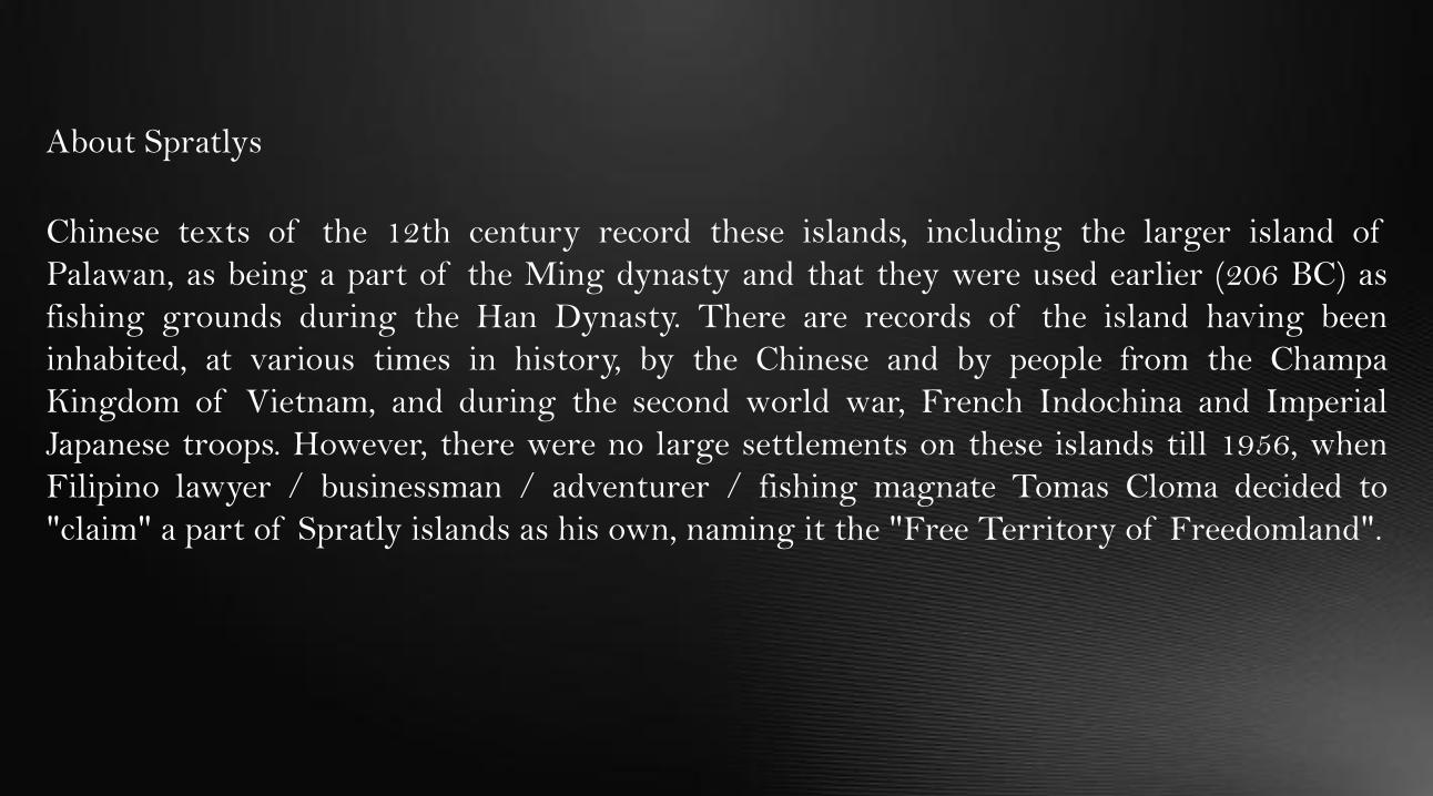
Chinese texts of the 12th century record these islands, including the larger island of
Palawan, as being a part of the Ming dynasty and that they were used earlier (206 BC) as
fishing grounds during the Han Dynasty. There are records of the island having been
inhabited, at various times in history, by the Chinese and by people from the Champa
Kingdom of Vietnam, and during the second world war, French Indochina and Imperial
Japanese troops. However, there were no large settlements on these islands till 1956, when
Filipino lawyer / businessman / adventurer / fishing magnate Tomas Cloma decided to
"claim" a part of Spratly islands as his own, naming it the "Free Territory of Freedomland".
About Spratlys
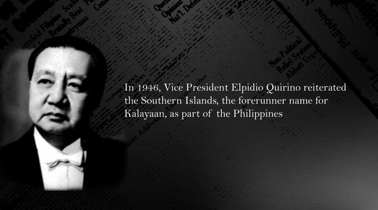
In 1946, Vice President Elpidio Quirino reiterated
the Southern Islands, the forerunner name for
Kalayaan, as part of the Philippines
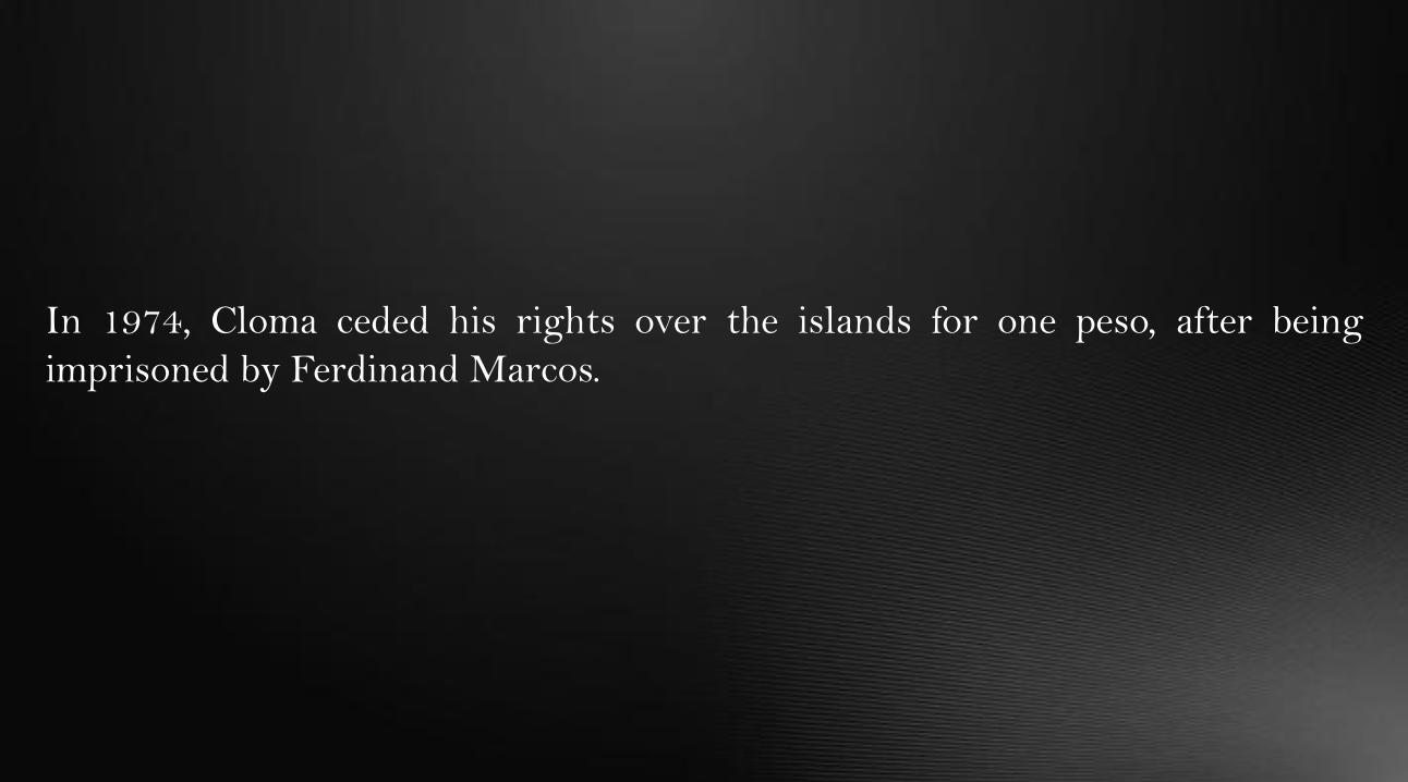
In 1974, Cloma ceded his rights over the islands for one peso, after being
imprisoned by Ferdinand Marcos.
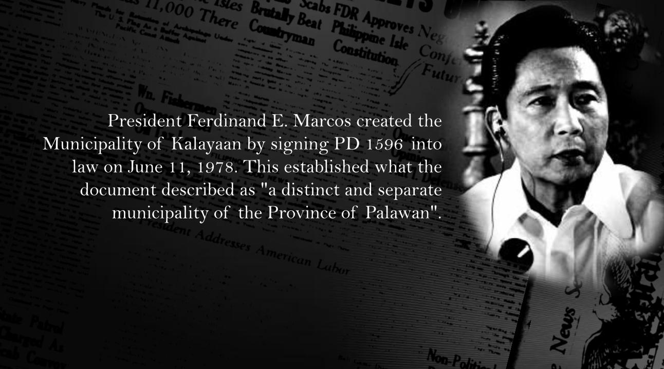
President Ferdinand E. Marcos created the
Municipality of Kalayaan by signing PD 1596 into
law on June 11, 1978. This established what the
document described as "a distinct and separate
municipality of the Province of Palawan".
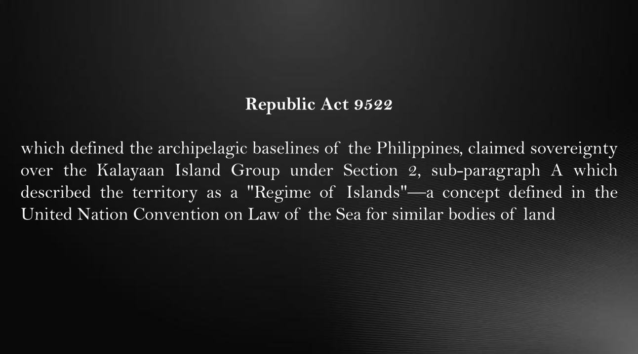
Republic Act 9522
which defined the archipelagic baselines of the Philippines, claimed sovereignty
over the Kalayaan Island Group under Section 2, sub-paragraph A which
described the territory as a "Regime of Islands"—a concept defined in the
United Nation Convention on Law of the Sea for similar bodies of land
CHINA
PHILIPPINES
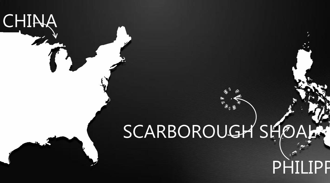
SCARBOROUGH SHOAL

CHINA
PHILIPPIN
ES
SCARBOROUGH
SHOAL
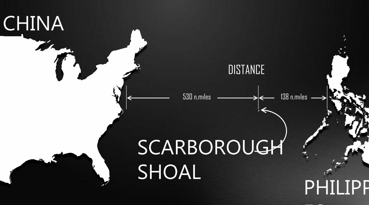
DISTANCE
530 n.miles 138 n.miles
CHINA
PHILIPPIN
ES
SCARBOROUGH
SHOAL
DISTANCE
530 n.miles 138 n.miles

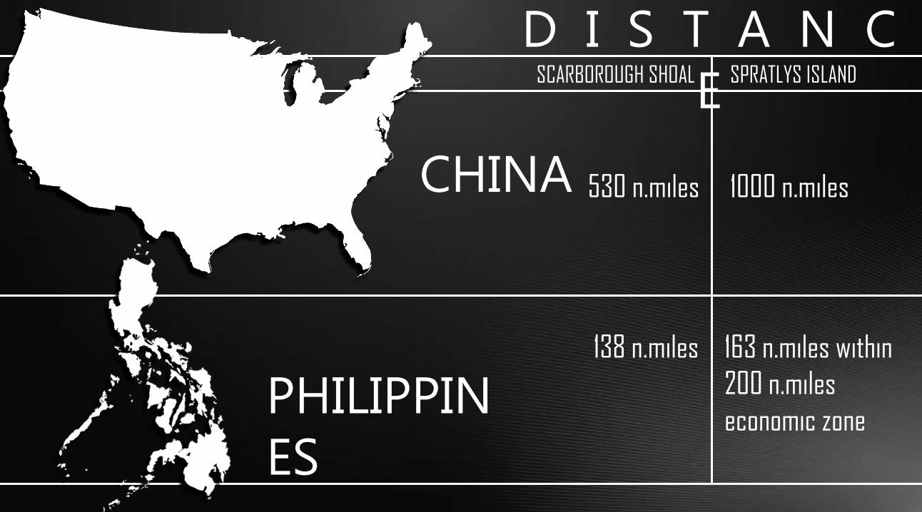
D I S T A N C
E SCARBOROUGH SHOAL SPRATLYS ISLAND
CHINA
PHILIPPIN
ES
530 n.miles
138 n.miles
1000 n.miles
163 n.miles within
200 n.miles
economic zone
D I S T A N C
E SCARBOROUGH SHOAL SPRATLYS ISLAND
CHINA
PHILIPPIN
ES
530 n.miles
138 n.miles
1000 n.miles
163 n.miles within
200 n.miles
economic zone
D I S T A N C
E SCARBOROUGH SHOAL SPRATLYS ISLAND
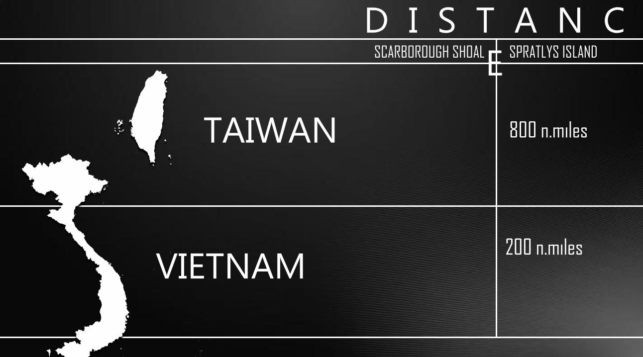
TAIWAN
VIETNAM
800 n.miles
200 n.miles
D I S T A N C
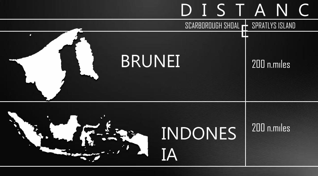
E SCARBOROUGH SHOAL SPRATLYS ISLAND
BRUNEI 200 n.miles
200 n.miles INDONES
IA

Thank You J O E Y A F R I C A
P A T O T E C H