Embed Size (px)
Citation preview
EGNSS User Consultation Platform Plenary4th December 2018
Aviation Panel DiscussionsResults Summary
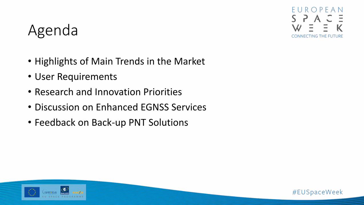
Agenda
• Highlights of Main Trends in the Market
• User Requirements
• Research and Innovation Priorities
• Discussion on Enhanced EGNSS Services
• Feedback on Back-up PNT Solutions
Highlights of Main Trends in the MarketCommunication, Navigation and Surveillance: Movement from the ground solution to space-based solution
Navigation LPV implementation in good progress with more than 550 EGNOS-based approaches deployed
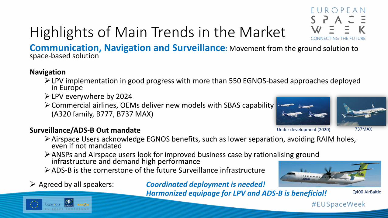
in EuropeLPV everywhere by 2024Commercial airlines, OEMs deliver new models with SBAS capability
(A320 family, B777, B737 MAX)
Surveillance/ADS-B Out mandateAirspace Users acknowledge EGNOS benefits, such as lower separation, avoiding RAIM holes,
even if not mandatedANSPs and Airspace users look for improved business case by rationalising ground
infrastructure and demand high performanceADS-B is the cornerstone of the future Surveillance infrastructure
Agreed by all speakers: Coordinated deployment is needed! Harmonized equipage for LPV and ADS-B is beneficial!
Under development (2020) 737MAX
Q400 AirBaltic
Highlights of Main Trends in the MarketAircraft distress tracking:
ICAO reaction on the past accidents was to launch the GADSS (Global Aeronautical Distress and Safety System) and this is already reflected in the Annex 6 and EC regulations
ELT(DT) based on Galileo MEOSAR is the most robust means to provide positon of aircraft in distress
ELT and ELT(DT) manufactures are integrating Galileo capable receiver in their products
Manufactures are leading definition of ConOps for remote beacon activation with EUROCAE and looking for solutions to deal with distress situation that cannot trigger automatic activation
Drones
EGNSS contribution to U-Space services (geo-awareness, Detect and Avoid, e-identification, ADS-B)
User Requirements for Communication, Navigation and Surveillance
• Need for ADS-B Out enabling 2NM separation in TMA only achievable with SBAS
• Demand for improved EGNOS performance in terms of continuity to support widespread LPV200 deployment
• Raise awareness among AU on rationalization of the conventional navaids by 2030 and need to get equipped with PBN (SBAS)
• Enable LPV combination with EVS/SVS to reduce minima below 200ft in low visibility conditions
• Proper ‘acceptance criteria’ and regulations need to be set in order to use Galileo (and in general core constellations other than GPS)
• Increased demand for robustness and resilience
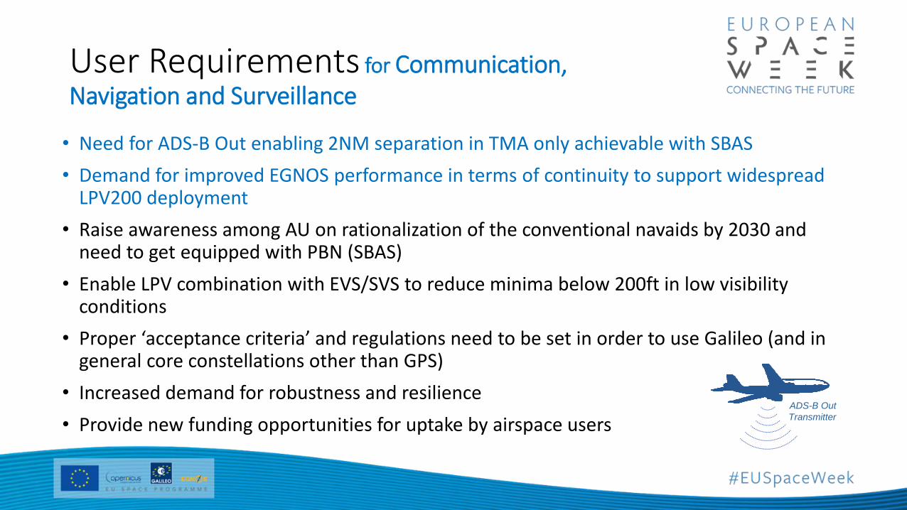
• Provide new funding opportunities for uptake by airspace usersADS-B Out
Transmitter
User Requirements for Aircraft distress tracking
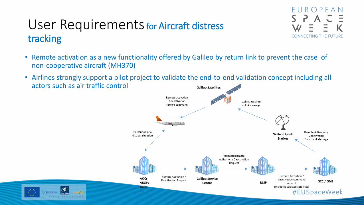
• Remote activation as a new functionality offered by Galileo by return link to prevent the case of non-cooperative aircraft (MH370)
• Airlines strongly support a pilot project to validate the end-to-end validation concept including all actors such as air traffic control
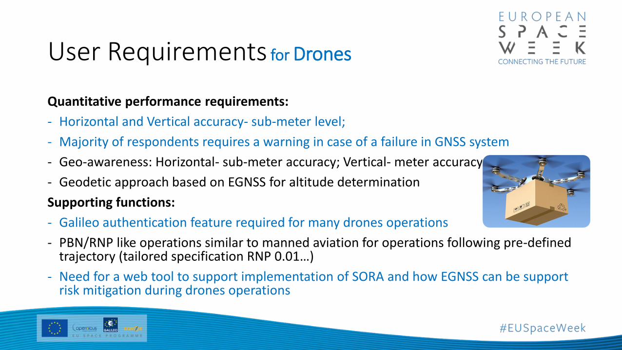
User Requirements for Drones
Quantitative performance requirements:
- Horizontal and Vertical accuracy- sub-meter level;
- Majority of respondents requires a warning in case of a failure in GNSS system
- Geo-awareness: Horizontal- sub-meter accuracy; Vertical- meter accuracy
- Geodetic approach based on EGNSS for altitude determination
Supporting functions:
- Galileo authentication feature required for many drones operations
- PBN/RNP like operations similar to manned aviation for operations following pre-defined trajectory (tailored specification RNP 0.01…)
- Need for a web tool to support implementation of SORA and how EGNSS can be support risk mitigation during drones operations
Research and Innovation Priorities• New Rotorcraft operations for critical services to public
• RNP APCH down to LPV to non-instrument runways
• Advanced navigation operations: • Flexible glide slopes, displaced threshold with EGNOS• Approaches to lower minima and taxiing guidance with Enhanced / Synthetic Vision systems• 4D operations, Curved, steep approaches
• Lightweight portable solutions for GA ADS-B (Automatic Dependence Surveillance) in applications
• Galileo SAR global and decision efficient enabler services
• Drones• Detect and avoid, geo-fencing solutions with E-GNSS• EGNOS and Galileo based Robust navigation for very low level operations• Authenticated position
• Hybridisation of different technologies to guaranty resilience and accuracy of PNT
• Traffic management
Discussion on Enhanced EGNSS Services ARAIM:
• The panel welcomed the potential to have LPV-200 worldwide thanks to vertical ARAIM
High Accuracy Services:
• Recognised as being very beneficial for drone operations, subject to further assessment of suitability in the dynamic flight environment
• Needs to be secured from cyber attack and robust across the end-to-end operation
Ionospheric Prediction Service:
• Widespread interest in the validation of the tool in comparison with alternates, e.g. flights in high altitude (grater than FL500) and drones operations in polar regions
• Possible ‘extension’ linked to understanding radiation impacts at altitude
Feedback on Back-up PNT Solutions
• Aviation is a mature market segment with several alternative means already existing and expected to be maintained already recognising the need for an alternative, e.g.• DME/DME, ILS
• There is focus on rationalisation of navigation and surveillance infrastructure with supporting operational procedures• Minimum operational network maintained to enable RNAV 1/RNP 1 in En-route and/or TMA with ILS
CAT I for approach
• This is the focus on current R&D being led by SESAR within PJ.14-03-04 APNT and to be continued post 2020
Thank you !Russell Dudley, European Regions Airlines Association & Aviation panel