Embed Size (px)
Citation preview
F L O R I D A
THO
MAS
C
OU
NT Y
C O L Q U I T T C O U N T Y
C O O K
C O U N T Y
LO WN D E S C O U N T Y
L O W N D E S C O U N T Y
Hunter Cemetery
Pauline Cem
ELAM
GreenvilleHwy
Liberty Ch Rd
Magnolia Church Rd
Shelly Rd
Coffee Rd
North BrooksElementary School
Ione Church Rd
Walde
n Rd
JP Rogers Rd Branch Rd
Moody Rd
Monument Ch Rd
Cates
Rd
Augu
s taRd
RYALLPOND
River
Run
Old Coffee
Rd
Barwick Rd
Coffee Rd
Ferri
s Rd
So nWrigh tRd
Coleman Rd
Drew
Rd
76133
122
122
122
122
133
76
133
76
3884
38
76
333
84
221
38
76
84
221
333
76
221
76
333
133
333
333
31
221
333
235,000
235,000
240,000
240,000
245,000
245,000
250,000
250,000
255,000
255,000
260,000
260,000
265,000
265,000
270,000
270,000
275,000
275,000
280,000
280,000
3,385,000 3,385,000
3,390,000 3,390,000
3,395,000 3,395,000
3,400,000 3,400,000
3,405,000 3,405,000
3,410,000 3,410,000
3,415,000 3,415,000
3,420,000 3,420,000
3,425,000 3,425,000
3,430,000 3,430,000
3,435,000 3,435,000
3,440,000 3,440,000
3,445,000 3,445,000
1 77 6
MODER
ATION
J U S T I CEW I S
D MO
CONSTITUTION
STA T
E O F G E O RGIA
P 16
41
Mil. Res. Bound.
(U AB)
nÓ
75
LEGEN D
US Route Number
Unpaved Road
Paved Road
City Boundary
Law Enforcement
Bridge
City Hall
Wetland
County Seat
PopulationElevation
Rest Area
Library
Hospital
CemeteryRailroad
State Route Number
Helipad
School
Stream
CourthouseCounty BoundaryNational/State Land
Lake
Fire Station
Divided Hwy
Military Reservation
WelcomeCenter
National RegisterHistorical Place
e
Correctional Facilities
InterstateRoute Number
J
q Commercial AirportGeneral Aviation
Military Aviation
Major Airport
Community
35
83°20'0"W
83°20'0"W
83°25'0"W
83°25'0"W
83°30'0"W
83°30'0"W
83°35'0"W
83°35'0"W
83°40'0"W
83°40'0"W
83°45'0"W
83°45'0"W
83°50'0"W
83°15'0"W
31°5'0"N
31°5'0"N
31°0'0"N
31°0'0"N
30°55'0"N
30°55'0"N
30°50'0"N
30°50'0"N
30°45'0"N
30°45'0"N
30°40'0"N
30°40'0"N
30°35'0"N
30°35'0"N
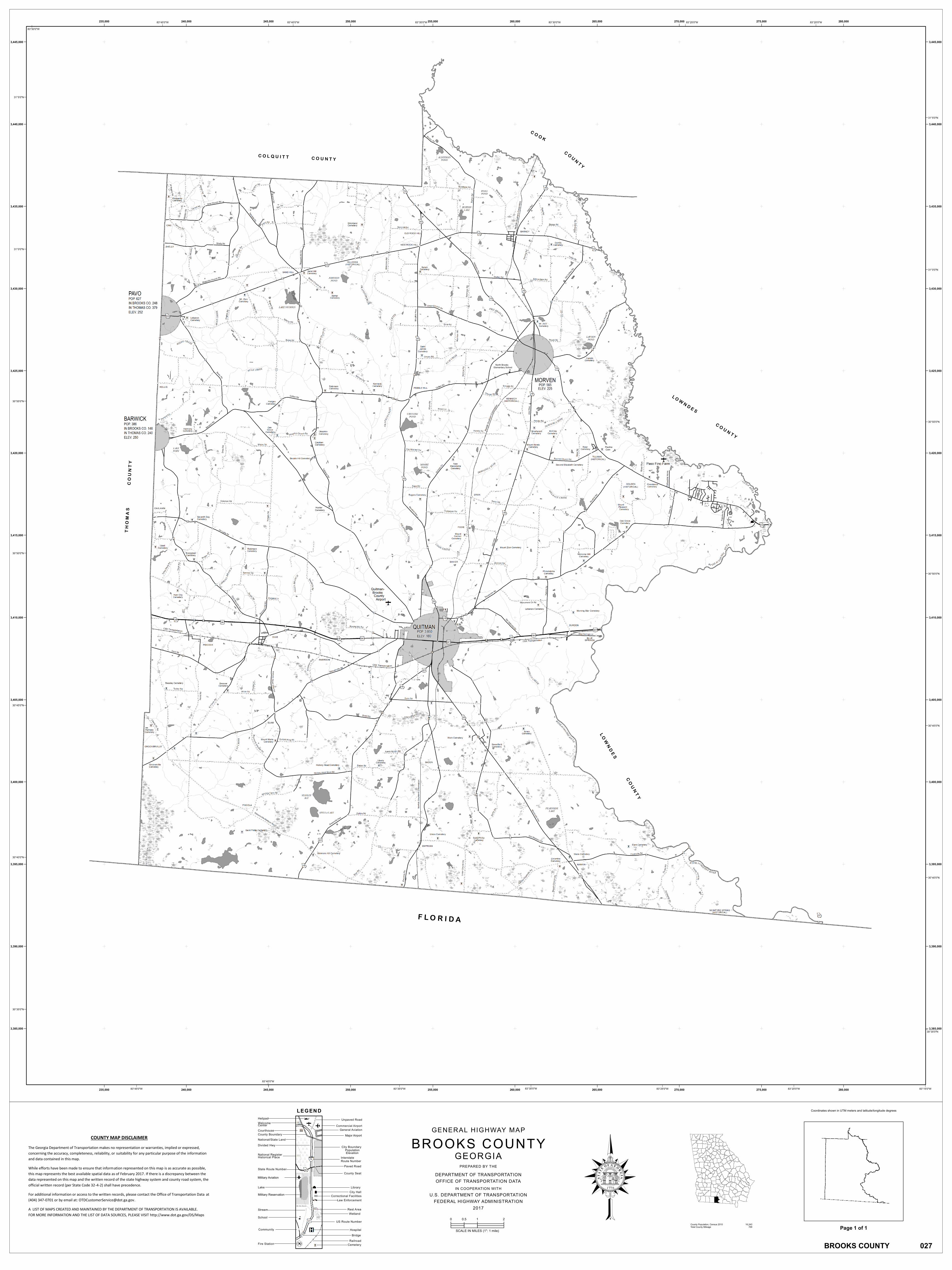
COUNTY MAP DISCLAIMER
The Georgia Department of Transportation makes no representation or warranties, implied or expressed, concerning the accuracy, completeness, reliability, or suitability for any particular purpose of the information and data contained in this map. While efforts have been made to ensure that information represented on this map is as accurate as possible, this map represents the best available spatial data as of February 2017. If there is a discrepancy between the data represented on this map and the written record of the state highway system and county road system, the official written record (per State Code 32-4-2) shall have precedence. For additional information or access to the written records, please contact the Office of Transportation Data at (404) 347-0701 or by email at: [email protected]. A LIST OF MAPS CREATED AND MAINTAINED BY THE DEPARTMENT OF TRANSPORTATION IS AVAILABLE. FOR MORE INFORMATION AND THE LIST OF DATA SOURCES, PLEASE VISIT http://www.dot.ga.gov/DS/Maps
BROOKS COUNTYGENERAL HIGHWAY MAP
GEORGIAPREPARED BY THE
DEPARTMENT OF TRANSPORTATIONOFFICE OF TRANSPORTATION DATA
IN COOPERATION WITHU.S. DEPARTMENT OF TRANSPORTATION
FEDERAL HIGHWAY ADMINISTRATION2017
0 1 20.5
SCALE IN MILES (1": 1 mile)County Population, Census 2010 16,243Total County Mileage 769
BROOKS COUNTY 027
Page 1 of 1
Coordinates shown in UTM meters and latitude/longitude degrees