Embed Size (px)
Citation preview
BT5M production on a GIS
environment
Dolors Barrot
Agenda
Challenges
Data model
Production system
Quality system
2
Q-KEN meeting, Athens 18-20 May 2016
Challenges
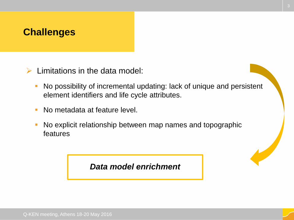
Limitations in the data model:
No possibility of incremental updating: lack of unique and persistent
element identifiers and life cycle attributes.
No metadata at feature level.
No explicit relationship between map names and topographic
features
3
Q-KEN meeting, Athens 18-20 May 2016
Data model enrichment
Challenges
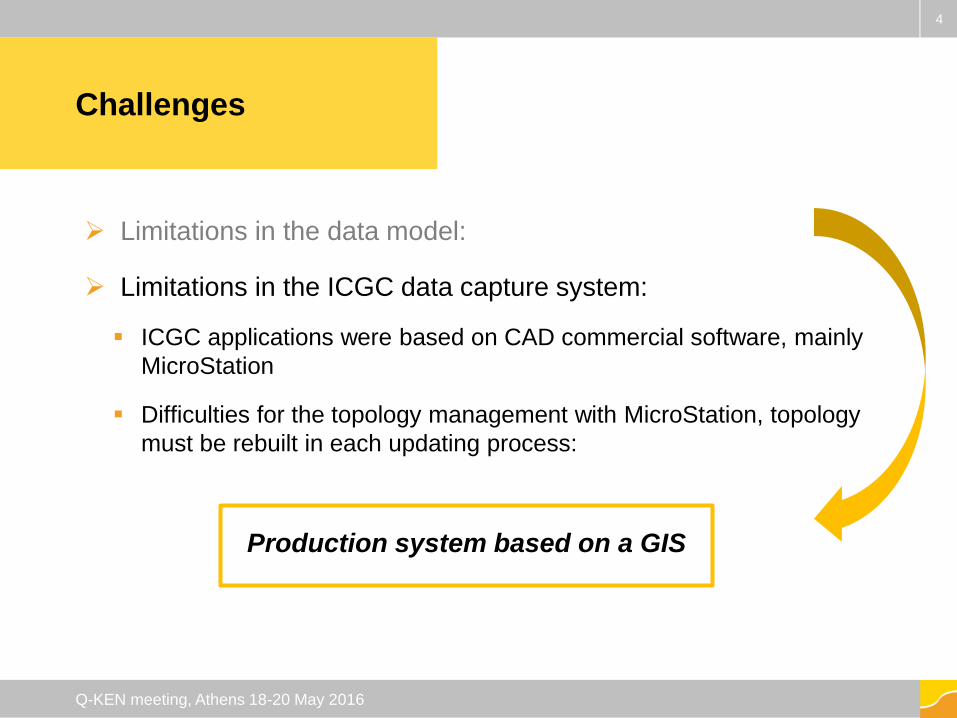
Limitations in the data model:
Limitations in the ICGC data capture system:
ICGC applications were based on CAD commercial software, mainly
MicroStation
Difficulties for the topology management with MicroStation, topology
must be rebuilt in each updating process:
4
Q-KEN meeting, Athens 18-20 May 2016
Production system based on a GIS
Challenges
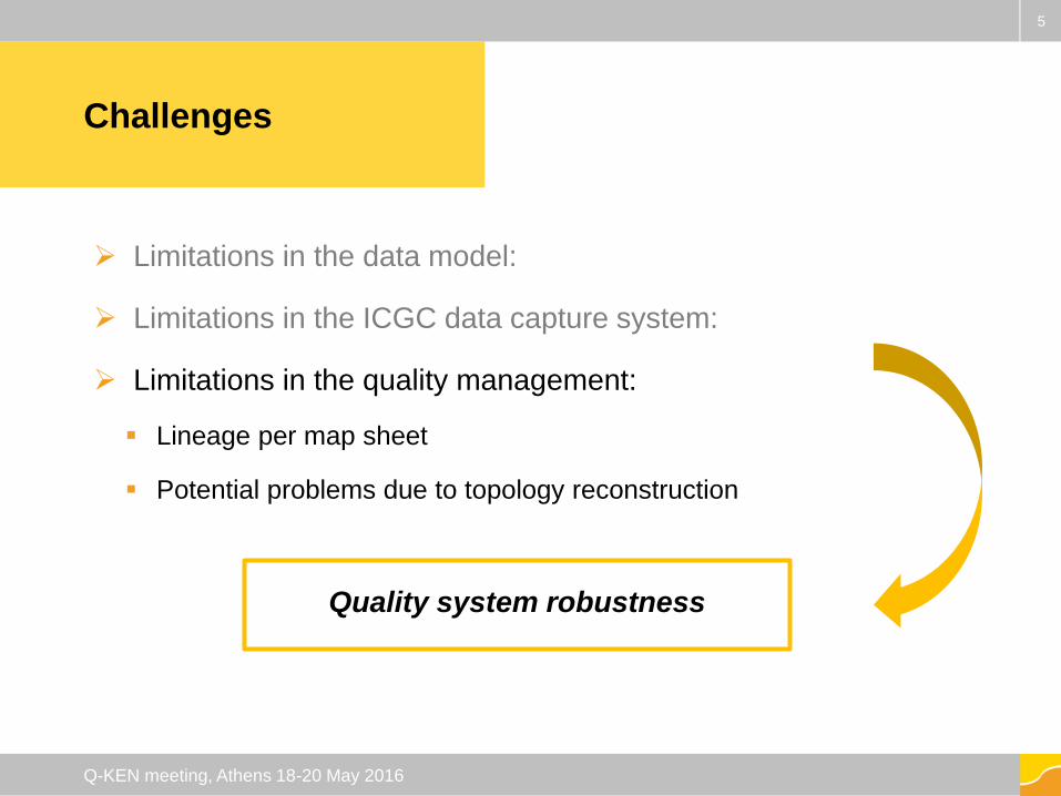
Limitations in the data model:
Limitations in the ICGC data capture system:
Limitations in the quality management:
Lineage per map sheet
Potential problems due to topology reconstruction
5
Q-KEN meeting, Athens 18-20 May 2016
Quality system robustness
Challenges
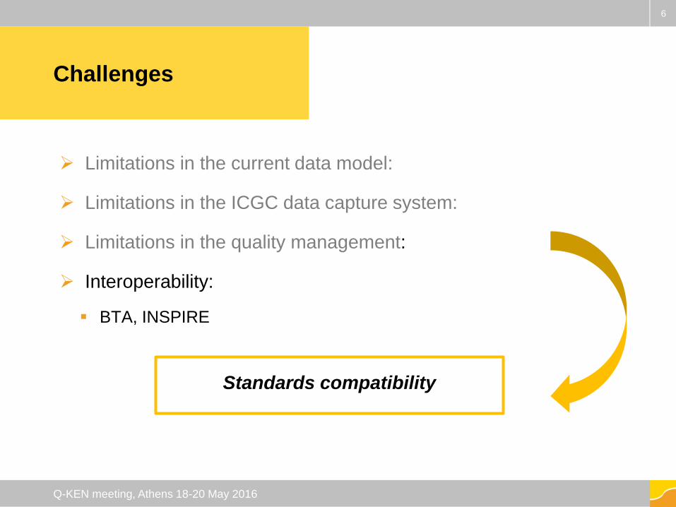
Limitations in the current data model:
Limitations in the ICGC data capture system:
Limitations in the quality management:
Interoperability:
BTA, INSPIRE
6
Q-KEN meeting, Athens 18-20 May 2016
Standards compatibility
Data model
&
Interoperability
Changes
7
Q-KEN meeting, Athens 18-20 May 2016
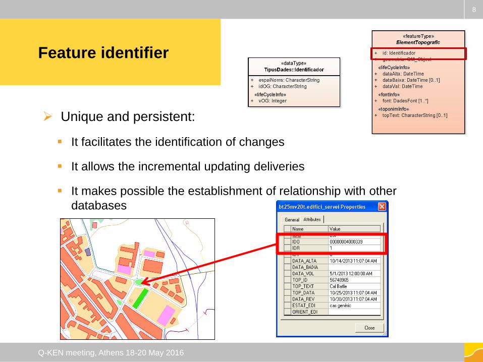
Feature identifier
Unique and persistent:
It facilitates the identification of changes
It allows the incremental updating deliveries
It makes possible the establishment of relationship with other
databases
8
Q-KEN meeting, Athens 18-20 May 2016
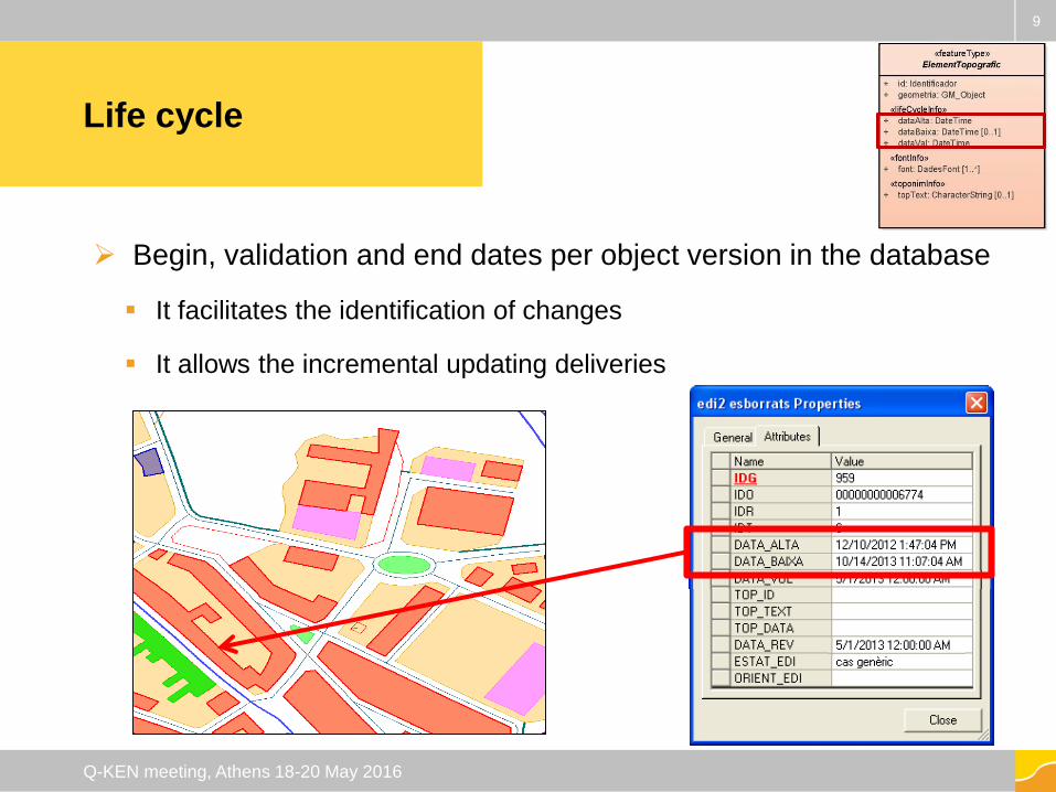
Life cycle
Begin, validation and end dates per object version in the database
It facilitates the identification of changes
It allows the incremental updating deliveries
9
Q-KEN meeting, Athens 18-20 May 2016
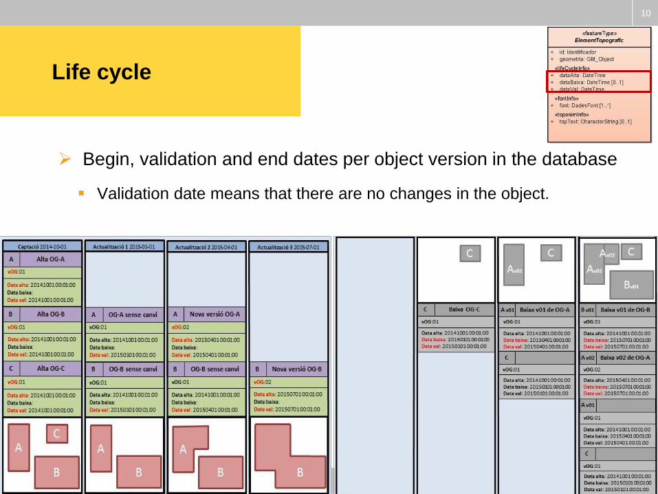
Life cycle
Begin, validation and end dates per object version in the database
Validation date means that there are no changes in the object.
10
Q-KEN meeting, Athens 18-20 May 2016
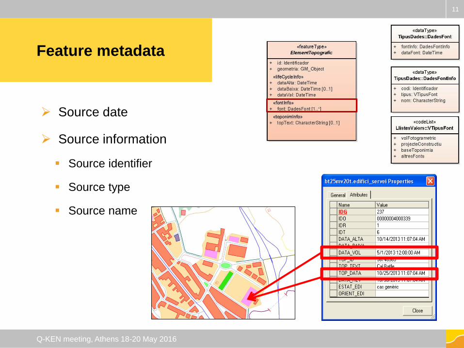
Feature metadata
Source date
Source information
Source identifier
Source type
Source name
11
Q-KEN meeting, Athens 18-20 May 2016
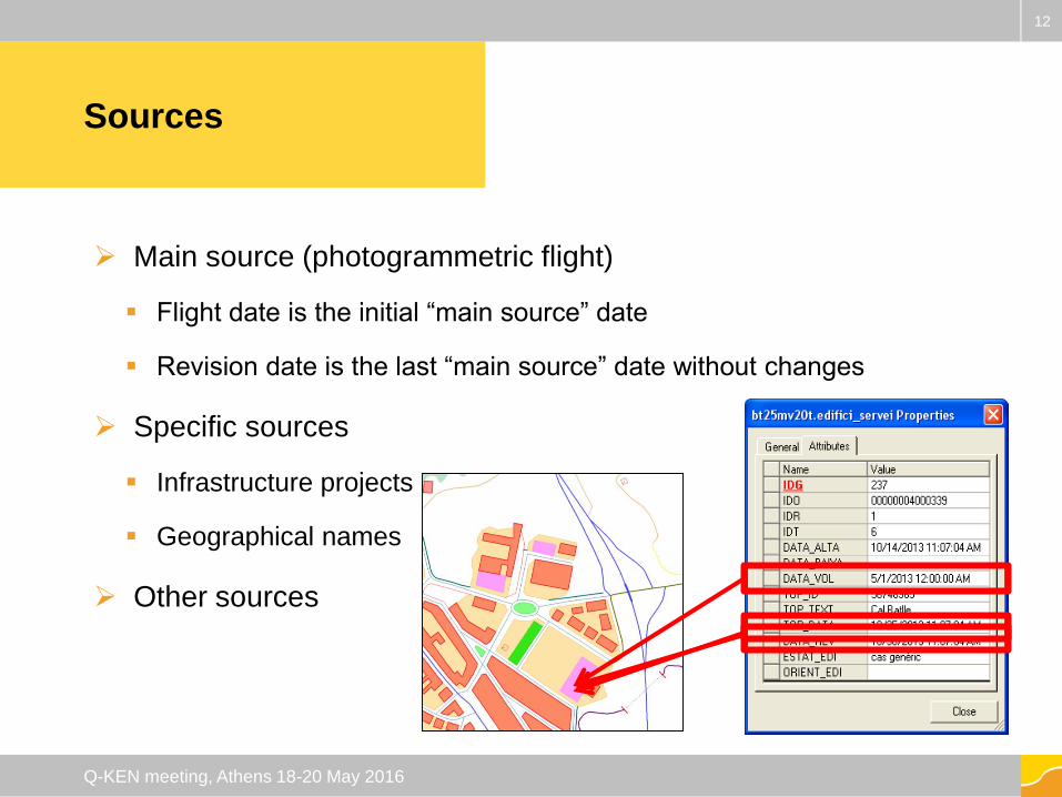
Sources
Main source (photogrammetric flight)
Flight date is the initial “main source” date
Revision date is the last “main source” date without changes
Specific sources
Infrastructure projects
Geographical names
Other sources
12
Q-KEN meeting, Athens 18-20 May 2016
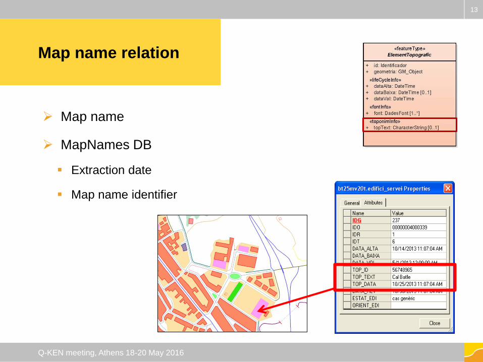
Map name relation
Map name
MapNames DB
Extraction date
Map name identifier
13
Q-KEN meeting, Athens 18-20 May 2016
Production
system
Changes
14
Q-KEN meeting, Athens 18-20 May 2016
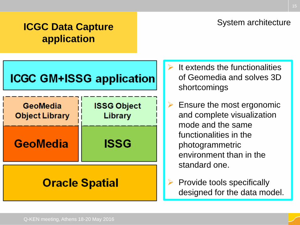
ICGC Data Capture
application
It extends the functionalities
of Geomedia and solves 3D
shortcomings
Ensure the most ergonomic
and complete visualization
mode and the same
functionalities in the
photogrammetric
environment than in the
standard one.
Provide tools specifically
designed for the data model.
15
Q-KEN meeting, Athens 18-20 May 2016
System architecture
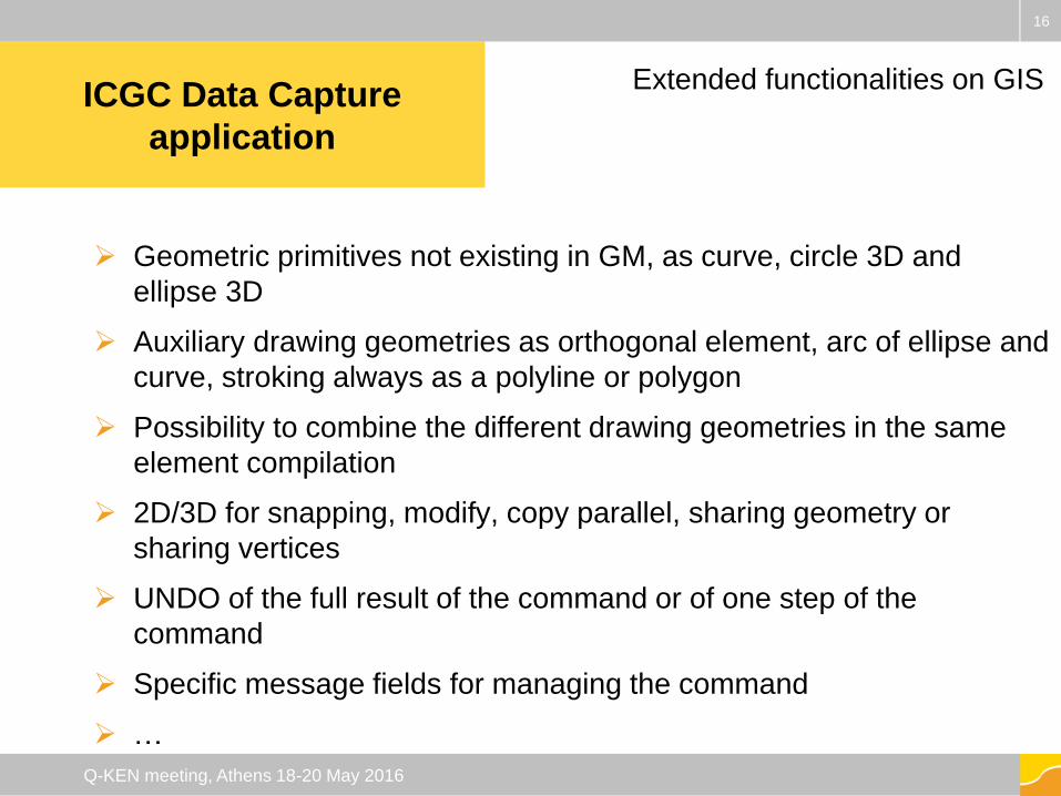
Geometric primitives not existing in GM, as curve, circle 3D and
ellipse 3D
Auxiliary drawing geometries as orthogonal element, arc of ellipse and
curve, stroking always as a polyline or polygon
Possibility to combine the different drawing geometries in the same
element compilation
2D/3D for snapping, modify, copy parallel, sharing geometry or
sharing vertices
UNDO of the full result of the command or of one step of the
command
Specific message fields for managing the command
…
16
Q-KEN meeting, Athens 18-20 May 2016
ICGC Data Capture
application
ICGC Data Capture
application
Extended functionalities on GIS
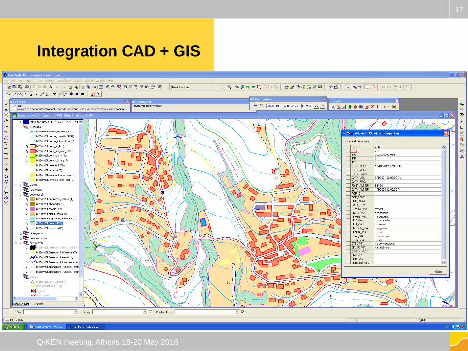
Integration CAD + GIS
17
Q-KEN meeting, Athens 18-20 May 2016
Standard point symbology in the photogrammetric environment
Window tracking capabilities in the standard environment
Interaction between different views
Specially designed cursor glyphs
Auxiliary display geometries (halo) associated to the cursor for
the visualization of minimum distances while drawing or editing
…
18
Q-KEN meeting, Athens 18-20 May 2016
ICGC Data Capture
application
Improvement of vector visualization on
the photogrammetric environment
19
Q-KEN meeting, Athens 18-20 May 2016
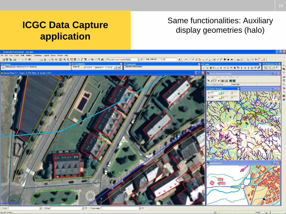
Same functionalities: Auxiliary
display geometries (halo)ICGC Data Capture
application
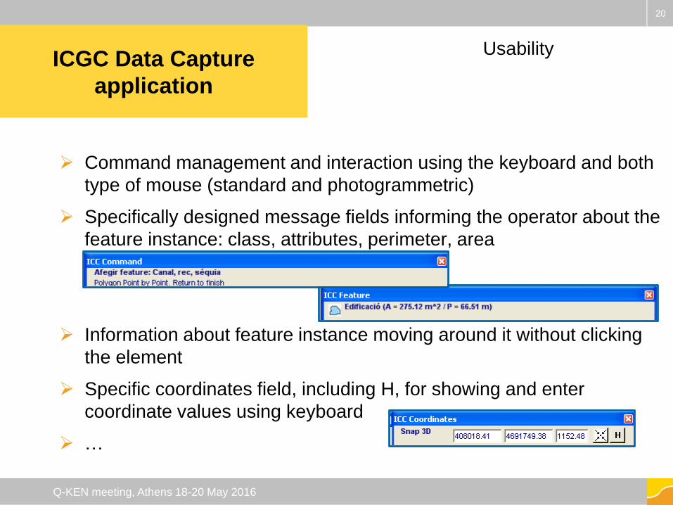
Command management and interaction using the keyboard and both
type of mouse (standard and photogrammetric)
Specifically designed message fields informing the operator about the
feature instance: class, attributes, perimeter, area
Information about feature instance moving around it without clicking
the element
Specific coordinates field, including H, for showing and enter
coordinate values using keyboard
…
20
Q-KEN meeting, Athens 18-20 May 2016
UsabilityICGC Data Capture
application
21
Q-KEN meeting, Athens 18-20 May 2016
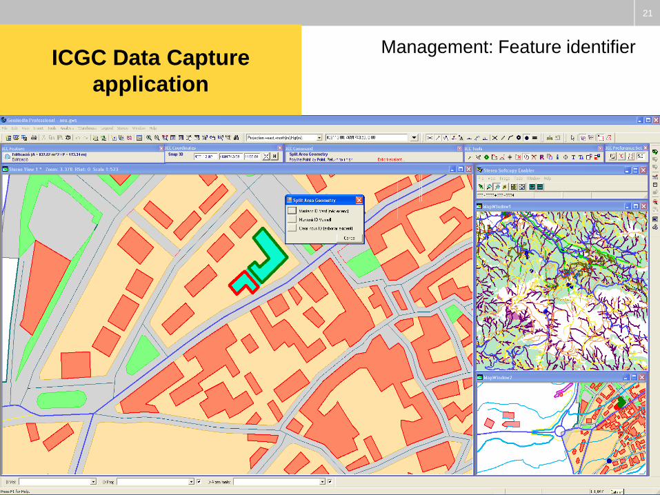
Management: Feature identifierICGC Data Capture
application
22
Q-KEN meeting, Athens 18-20 May 2016
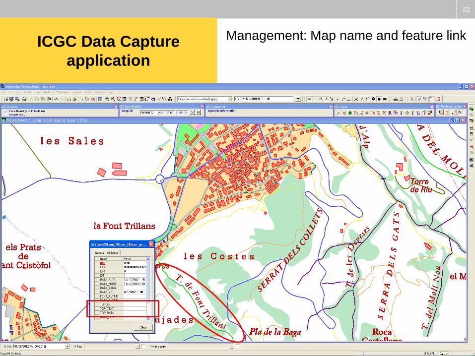
Management: Map name and feature linkICGC Data Capture
application

23
Q-KEN meeting, Athens 18-20 May 2016
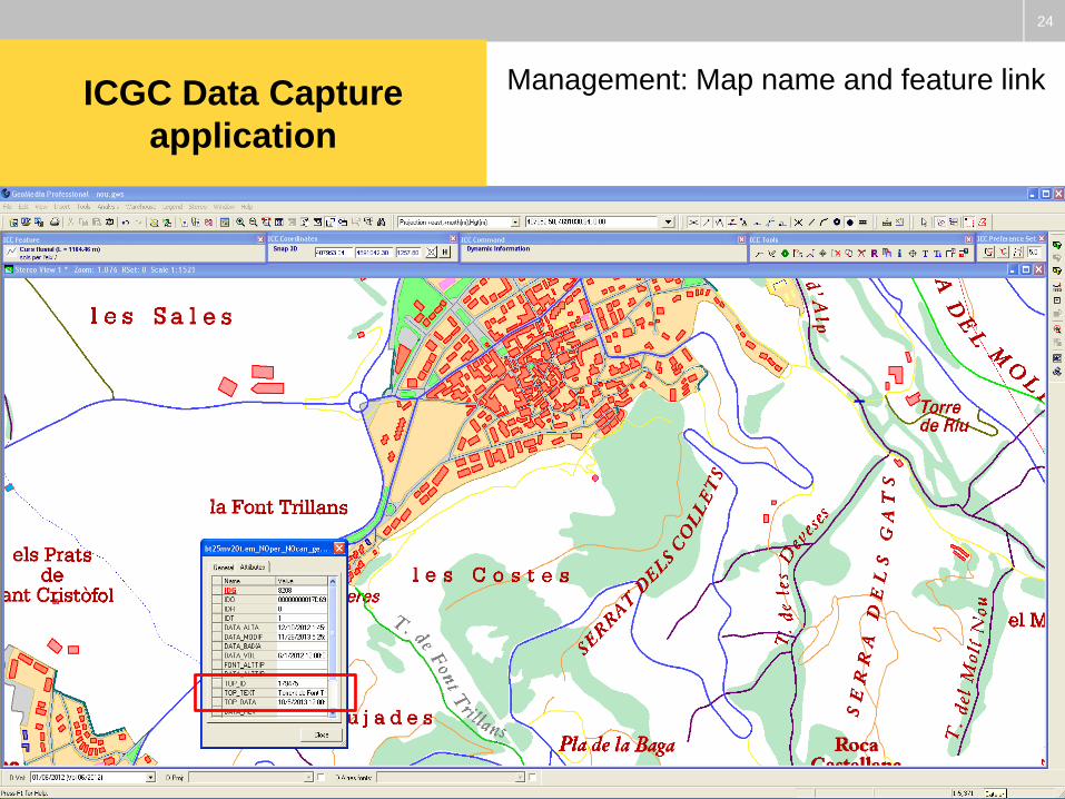
Management: Map name and feature linkICGC Data Capture
application
24
Q-KEN meeting, Athens 18-20 May 2016
Management: Map name and feature linkICGC Data Capture
application
Quality
system
Changes
25
Q-KEN meeting, Athens 18-20 May 2016
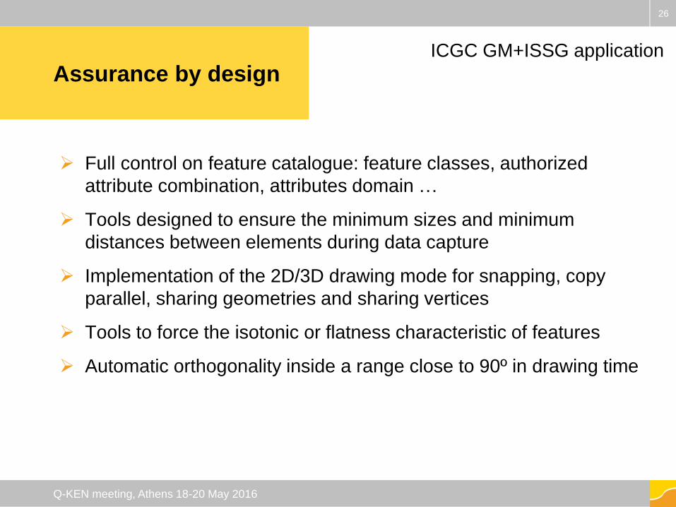
Assurance by design
Full control on feature catalogue: feature classes, authorized
attribute combination, attributes domain …
Tools designed to ensure the minimum sizes and minimum
distances between elements during data capture
Implementation of the 2D/3D drawing mode for snapping, copy
parallel, sharing geometries and sharing vertices
Tools to force the isotonic or flatness characteristic of features
Automatic orthogonality inside a range close to 90º in drawing time
26
Q-KEN meeting, Athens 18-20 May 2016
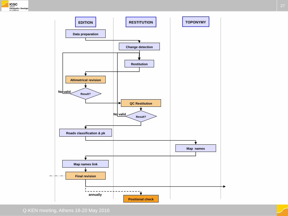
ICGC GM+ISSG application
27
Q-KEN meeting, Athens 18-20 May 2016
EDITION
Data preparation
TOPONYMY
Restitution
Map names
Positional check
RESTITUTION
Change detection
Altimetrical revision
No validResult?
Roads classification & pk
QC Restitution
Result?No valid
Map names link
Final revision
annually
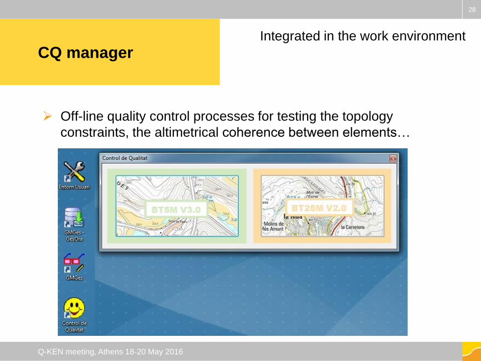
CQ manager
Off-line quality control processes for testing the topology
constraints, the altimetrical coherence between elements…
28
Q-KEN meeting, Athens 18-20 May 2016
Integrated in the work environment
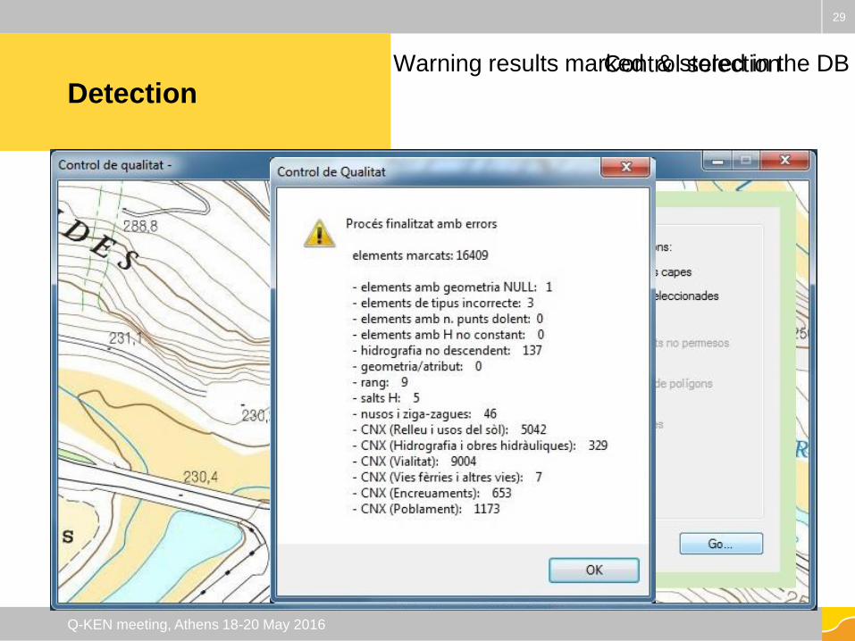
Detection
29
Q-KEN meeting, Athens 18-20 May 2016
Control selection Warning results marked & stored in the DB
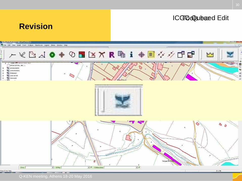
Revision
30
Q-KEN meeting, Athens 18-20 May 2016
Tools bar ICGC Queued Edit
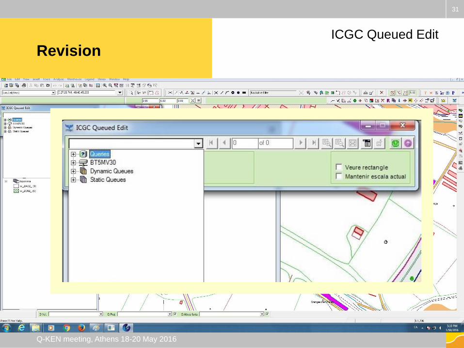
Revision
31
Q-KEN meeting, Athens 18-20 May 2016
ICGC Queued Edit
Revision
32
Q-KEN meeting, Athens 18-20 May 2016
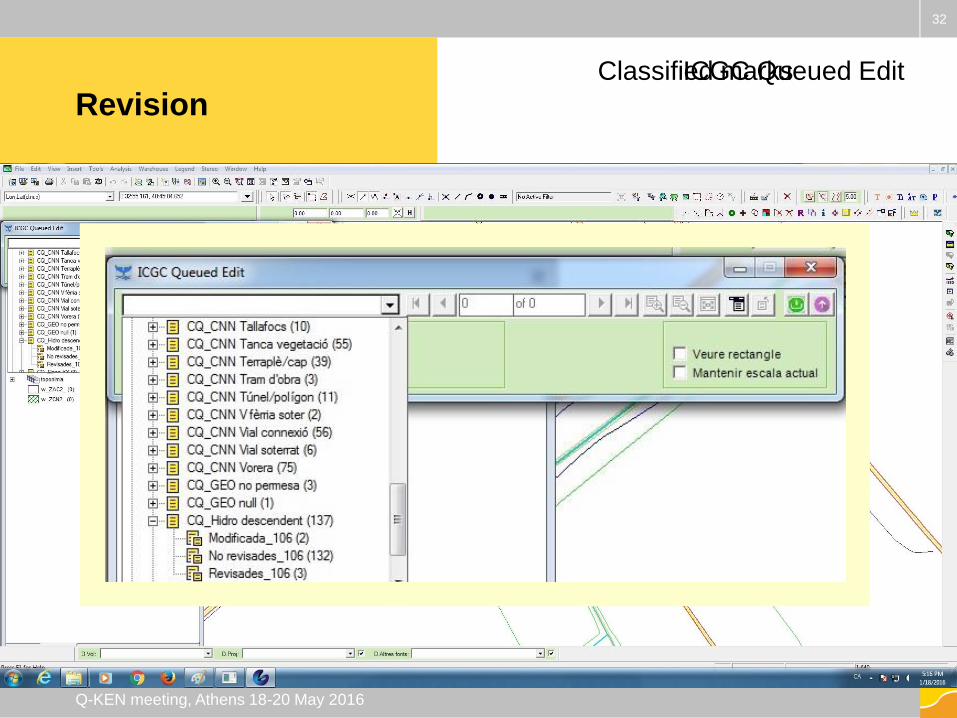
ICGC Queued EditClassified marks
Revision
33
Q-KEN meeting, Athens 18-20 May 2016
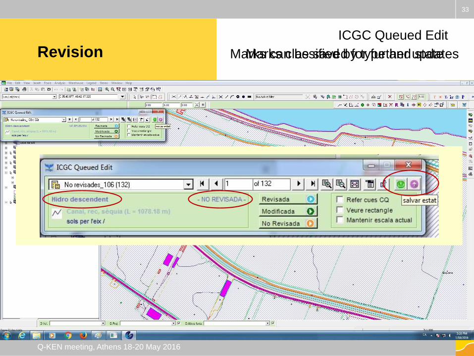
ICGC Queued Edit
Marks classified by type and stateMarks can be saved for further updates
Revision
34
Q-KEN meeting, Athens 18-20 May 2016
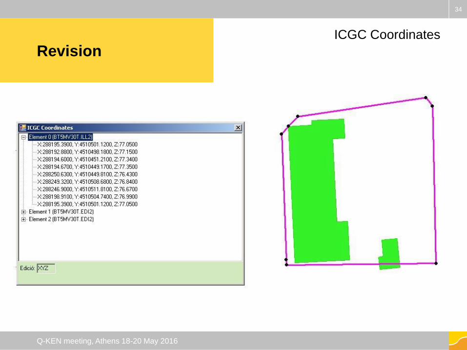
ICGC Coordinates
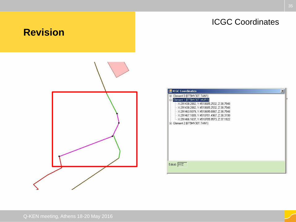
Revision
35
Q-KEN meeting, Athens 18-20 May 2016
ICGC Coordinates
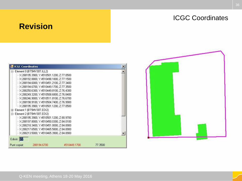
Revision
36
Q-KEN meeting, Athens 18-20 May 2016
ICGC Coordinates
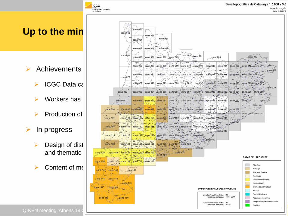
Up to the minute
Achievements
ICGC Data capture application has been validated
Workers has been trained
Production of ICGC BT-5M v3.0 begun in 2015
In progress
Design of distribution product: geographic, temporal
and thematic extension, formats
Content of metadata file
37
Q-KEN meeting, Athens 18-20 May 2016
Thank you!
Ευχαριστώ πολύ!
38
Q-KEN meeting, Athens 18-20 May 2016
Institut Cartogràfic i Geològic
de Catalunya
Parc de Montjuïc,
E-08038 Barcelona
41º22’12” N, 2º09’20” E (ETRS89)
www.icgc.cat
twitter.com/ICGCat
facebook.com/ICGCat
Tel. (+34) 93 567 15 00
Fax (+34) 93 567 15 67
39
Q-KEN meeting, Athens 18-20 May 2016