Embed Size (px)
Citation preview
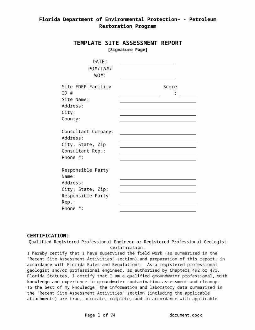
Florida Department of Environmental Protection– - Petroleum Restoration Program
TEMPLATE SITE ASSESSMENT REPORT
[Signature Page]
DATE:PO#/TA#/WO#:
Site FDEP Facility ID # Score:Site Name:Address:City:County:
Consultant Company:Address:City, State, ZipConsultant Rep.:Phone #:
Responsible Party Name:Address:City, State, Zip:Responsible Party Rep.:Phone #:
CERTIFICATION:Qualified Registered Professional Engineer or Registered Professional Geologist Certification.
I hereby certify that I have supervised the field work (as summarized in the "Recent Site Assessment Activities" section) and preparation of this report, in accordance with Florida Rules and Regulations. As a registered professional geologist and/or professional engineer, as authorized by Chapters 492 or 471, Florida Statutes, I certify that I am a qualified groundwater professional, with knowledge and experience in groundwater contamination assessment and cleanup. To the best of my knowledge, the information and laboratory data summarized in the "Recent Site Assessment Activities" section (including the applicable attachments) are true, accurate, complete, and in accordance with applicable State Rules and Regulations. Include a hard (paper) copy of this cover page, signed and sealed, when submitting the report electronically.
Consultant Name:
PE or PG License #:Signature: ______________________________
Date: _____________ FLORIDA Stamp or Seal
Page 1 of 43 document.docx
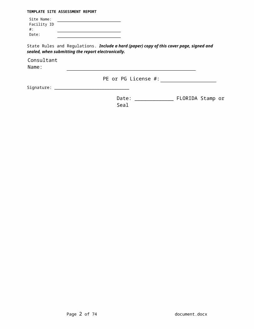
TEMPLATE SITE ASSESSMENT REPORT
Site Name:Facility ID #:Date:
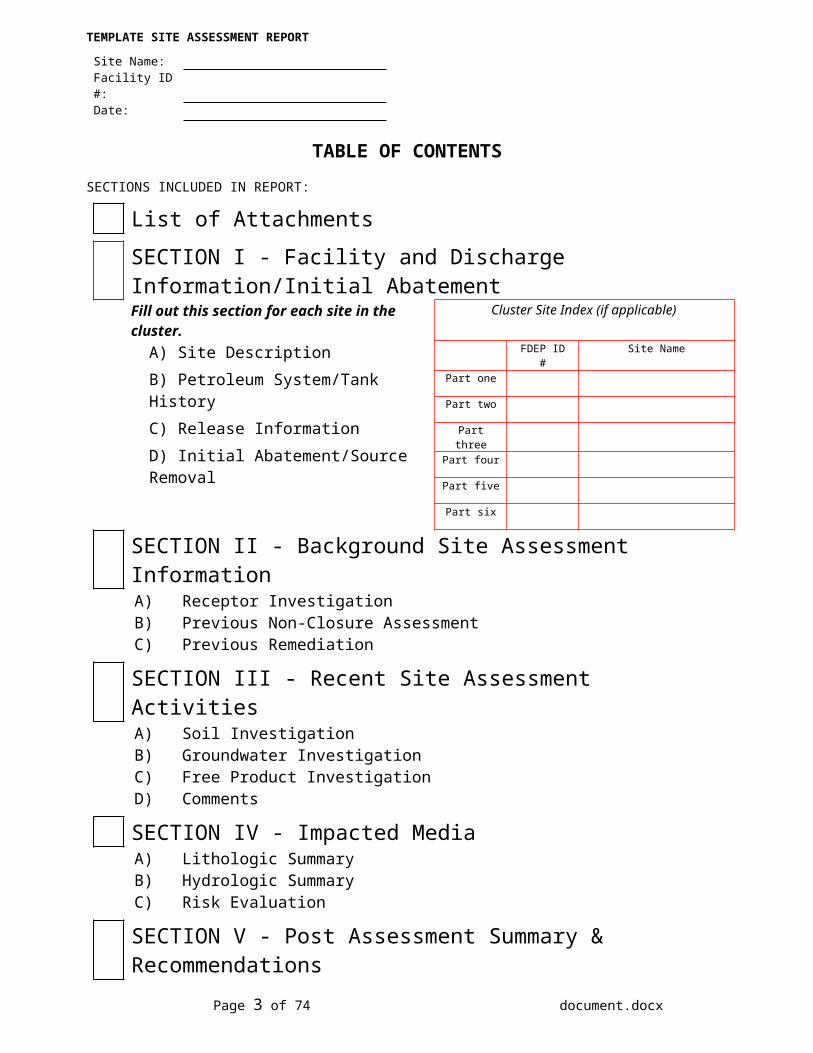
TABLE OF CONTENTSSECTIONS INCLUDED IN REPORT:
List of AttachmentsSECTION I - Facility and Discharge Information/Initial AbatementFill out this section for each site in the cluster. Cluster Site Index (if applicable)
A) Site DescriptionB) Petroleum System/Tank HistoryC) Release InformationD) Initial Abatement/Source Removal
FDEP ID # Site Name
Part one
Part two
Part three
Part four
Part five
Part six
SECTION II - Background Site Assessment Information A) Receptor InvestigationB) Previous Non-Closure Assessment C) Previous Remediation
SECTION III - Recent Site Assessment ActivitiesA) Soil InvestigationB) Groundwater InvestigationC) Free Product InvestigationD) Comments
SECTION IV - Impacted MediaA) Lithologic SummaryB) Hydrologic SummaryC) Risk Evaluation
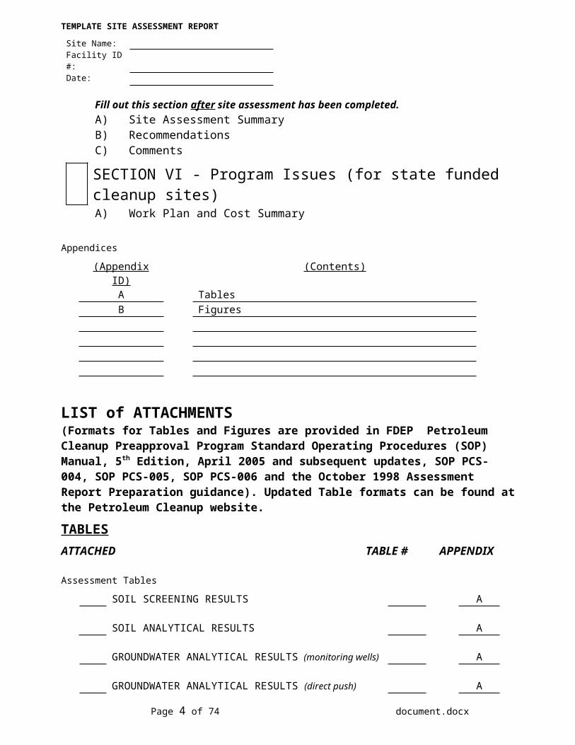
SECTION V - Post Assessment Summary & RecommendationsFill out this section after site assessment has been completed.A) Site Assessment SummaryB) RecommendationsC) Comments
SECTION VI - Program Issues (for state funded cleanup sites)A) Work Plan and Cost Summary
Appendices
(Appendix ID) (Contents)A TablesB Figures
Page 2 of 43 document.docx
TEMPLATE SITE ASSESSMENT REPORT
Site Name:Facility ID #:Date:
LIST of ATTACHMENTS (Formats for Tables and Figures are provided in FDEP Petroleum Cleanup Preapproval Program Standard Operating Procedures (SOP) Manual, 5th Edition, April 2005 and subsequent updates, SOP PCS-004, SOP PCS-005, SOP PCS-006 and the October 1998 Assessment Report Preparation guidance). Updated Table formats can be found at the Petroleum Cleanup website.
TABLESATTACHED TABLE # APPENDIX
Assessment Tables
SOIL SCREENING RESULTS A
SOIL ANALYTICAL RESULTS A
GROUNDWATER ANALYTICAL RESULTS (monitoring wells) A
GROUNDWATER ANALYTICAL RESULTS (direct push) A
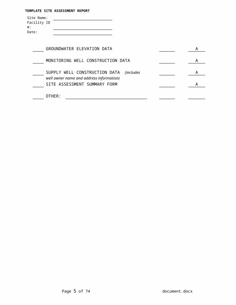
GROUNDWATER ELEVATION DATA A
MONITORING WELL CONSTRUCTION DATA A
SUPPLY WELL CONSTRUCTION DATA (includes Awell owner name and address information)SITE ASSESSMENT SUMMARY FORM A
OTHER:
Page 3 of 43 document.docx
TEMPLATE SITE ASSESSMENT REPORT
Site Name:Facility ID #:Date:
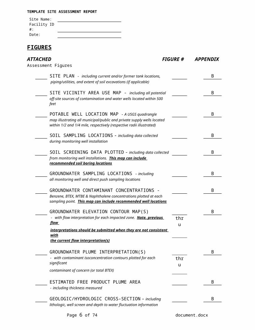
FIGURES
ATTACHED FIGURE # APPENDIXAssessment Figures
SITE PLAN - including current and/or former tank locations, B piping/utilities, and extent of soil excavations (if applicable)
SITE VICINITY AREA USE MAP - including all potential Boff-site sources of contamination and water wells located within 500 feet
POTABLE WELL LOCATION MAP - A USGS quadrangle Bmap illustrating all municipal/public and private supply wells located within 1/2 and 1/4 mile, respectively (respective radii illustrated)
SOIL SAMPLING LOCATIONS - including data collected Bduring monitoring well installation
SOIL SCREENING DATA PLOTTED - including data collected Bfrom monitoring well installations. This map can include recommended soil boring locations
GROUNDWATER SAMPLING LOCATIONS - including Ball monitoring well and direct push sampling locations
GROUNDWATER CONTAMINANT CONCENTRATIONS - BBenzene, BTEX, MTBE & Naphthalene concentrations plotted at each sampling point. This map can include recommended well locations
GROUNDWATER ELEVATION CONTOUR MAP(S) B- with flow interpretation for each impacted zone. Note, previous flow thruinterpretations should be submitted when they are not consistent withthe current flow interpretation(s)
GROUNDWATER PLUME INTERPRETATION(S) B- with contaminant isoconcentration contours plotted for each significant thrucontaminant of concern (or total BTEX)
ESTIMATED FREE PRODUCT PLUME AREA B- including thickness measured
GEOLOGIC/HYDROLOGIC CROSS-SECTION - including Blithologic, well screen and depth to water fluctuation information
PROPOSED SOIL BORING AND MONITORING BWELL LOCATIONS (if not illustrated in another figure)
OTHER:
Page 4 of 43 document.docx
TEMPLATE SITE ASSESSMENT REPORT
Site Name:Facility ID #:Date:
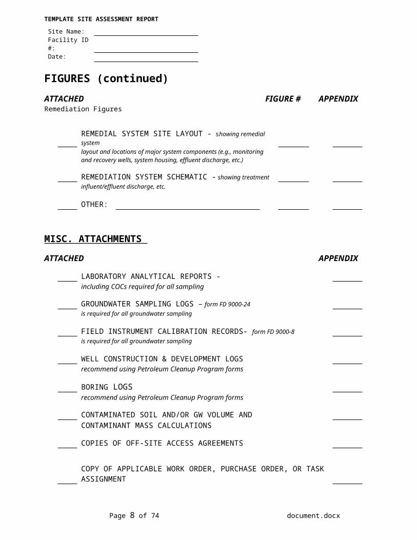
FIGURES (continued)ATTACHED FIGURE # APPENDIXRemediation Figures
REMEDIAL SYSTEM SITE LAYOUT - showing remedial systemlayout and locations of major system components (e.g., monitoring and recovery wells, system housing, effluent discharge, etc.)
REMEDIATION SYSTEM SCHEMATIC - showing treatmentinfluent/effluent discharge, etc.
OTHER:
MISC. ATTACHMENTS
ATTACHED APPENDIX
LABORATORY ANALYTICAL REPORTS -including COCs required for all sampling
GROUNDWATER SAMPLING LOGS – form FD 9000-24 is required for all groundwater sampling
FIELD INSTRUMENT CALIBRATION RECORDS- form FD 9000-8is required for all groundwater sampling
WELL CONSTRUCTION & DEVELOPMENT LOGSrecommend using Petroleum Cleanup Program forms
BORING LOGSrecommend using Petroleum Cleanup Program forms
CONTAMINATED SOIL AND/OR GW VOLUME AND CONTAMINANT MASS CALCULATIONS
COPIES OF OFF-SITE ACCESS AGREEMENTS
COPY OF APPLICABLE WORK ORDER, PURCHASE ORDER, OR TASK ASSIGNMENT
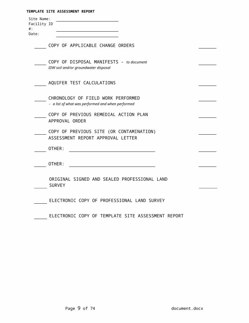
COPY OF APPLICABLE CHANGE ORDERS
COPY OF DISPOSAL MANIFESTS - to documentIDW soil and/or groundwater disposal
AQUIFER TEST CALCULATIONS
Page 5 of 43 document.docx
TEMPLATE SITE ASSESSMENT REPORT
Site Name:Facility ID #:Date:
CHRONOLOGY OF FIELD WORK PERFORMED- a list of what was performed and when performed
COPY OF PREVIOUS REMEDIAL ACTION PLANAPPROVAL ORDER
COPY OF PREVIOUS SITE (OR CONTAMINATION) ASSESSMENT REPORT APPROVAL LETTER
OTHER:
OTHER:
ORIGINAL SIGNED AND SEALED PROFESSIONAL LAND SURVEY
ELECTRONIC COPY OF PROFESSIONAL LAND SURVEY
ELECTRONIC COPY OF TEMPLATE SITE ASSESSMENT REPORT
Page 6 of 43 document.docx
TEMPLATE SITE ASSESSMENT REPORT
Site Name:Facility ID #:Date:
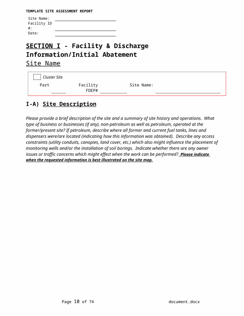
SECTION I - Facility & Discharge Information/Initial AbatementSite Name
Cluster Site
Part Facility FDEP# Site Name:
I-A) Site Description
Please provide a brief description of the site and a summary of site history and operations. What type of business or businesses (if any), non-petroleum as well as petroleum, operated at the former/present site? If petroleum, describe where all former and current fuel tanks, lines and dispensers were/are located (indicating how this information was obtained). Describe any access constraints (utility conduits, canopies, land cover, etc.) which also might influence the placement of monitoring wells and/or the installation of soil borings. Indicate whether there are any owner issues or traffic concerns which might effect when the work can be performed? Please indicate when the requested information is best illustrated on the site map.
Site map (Figure ) illustrating all current & former tanks, lines and dispensers (including utilities, canopies, etc.) is included in Appendix
Page 7 of 43 document.docx
TEMPLATE SITE ASSESSMENT REPORT
Site Name:Facility ID #:Date:
I-B) Petroleum System/Tank HistoryList current and former UST's and/or AST's operated at site. Systems (PAST AND PRESENT) must be illustrated on Site Plan. This information should be a summary of the Department's STCM database, all tank closure reports (if applicable) and site owner & operator information.
ID# AST orUST
Size (gallons)
InstallationDate
Contents (unleaded gasoline/
diesel/etc.)
Status (active, removed or
abandoned [in place])
Date Removed or Abandoned
(if applicable)
-If above information is different than the Department's STCM database, please indicate source of updated information:
YES NO
Active Site? If yes, please indicate method, date and extent of latest tank and line tightness test (include copy of tightness test results). If tank tightness test results arenot available, please explain why they are not necessary or indicate when next tightness test will be performed..
Copy of tightness test results included in Appendix
Page 8 of 43 document.docx
TEMPLATE SITE ASSESSMENT REPORT
Site Name:Facility ID #:Date:
I-B) Petroleum System/Tank History (continued)YES NO
Petroleum System Closure? If yes, briefly describe type of petroleum system (AST, UST, distribution lines, etc.) and closure activities conducted. Description not needed if copy of system tank closure report included.
Note: Section I-C should be used to document soil, groundwater or product removal performed during closures.
Description of system closure activities included in attached tank closure report.
Copy of tank or system closure report (if applicable) included in Appendix
I-C) Release InformationDiscovery Date(s) Program Type(s): ATRP, EDI, PCPP, PLRIP or Non-program
(please indicate if a non-program discharge has been combined with an eligible discharge)1st
2nd
3rd
4th
5th
6th
-Source description and release history that includes date(s) of release(s), cause(s) of release(s), where they occurred, type(s) of product released and volume(s) of release(s) [please explain how estimates were derived].
- Suspected type(s) of product released:Leaded Gasoline Diesel/Kerosene Unleaded Gasoline
Used Oil Unknown Other:
Page 9 of 43 document.docx
TEMPLATE SITE ASSESSMENT REPORT
Site Name:Facility ID #:Date:
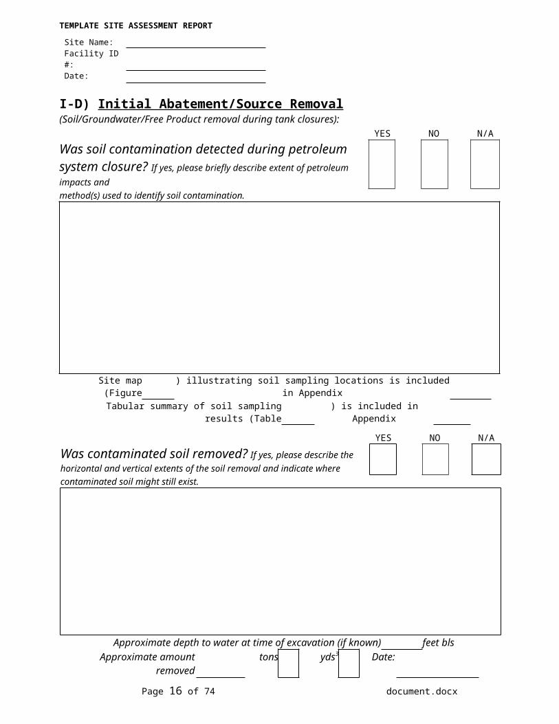
I-D) Initial Abatement/Source Removal (Soil/Groundwater/Free Product removal during tank closures):
YES NO N/A
Was soil contamination detected during petroleum system closure? If yes, please briefly describe extent of petroleum impacts and method(s) used to identify soil contamination.
Site map (Figure ) illustrating soil sampling locations is included in AppendixTabular summary of soil sampling results (Table ) is included in Appendix
YES NO N/A
Was contaminated soil removed? If yes, please describe the horizontal and vertical extents of the soil removal and indicate wherecontaminated soil might still exist.
Approximate depth to water at time of excavation (if known) feet blsApproximate amount removed tons yds3 Date:
Disposal method:
Page 10 of 43 document.docx
TEMPLATE SITE ASSESSMENT REPORT
Site Name:Facility ID #:Date:
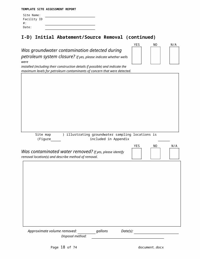
I-D) Initial Abatement/Source Removal (continued)YES NO N/A
Was groundwater contamination detected during petroleum system closure? If yes, please indicate whether wells wereinstalled (including their construction details if possible) and indicate the maximum levels for petroleum contaminants of concern that were detected.
Site map (Figure ) illustrating groundwater sampling locations is included in Appendix
YES NO N/A
Was contaminated water removed? If yes, please identify removal location(s) and describe method of removal.
Approximate volume removed: gallons Date(s):Disposal method:
Page 11 of 43 document.docx
TEMPLATE SITE ASSESSMENT REPORT
Site Name:Facility ID #:Date:
I-D) Initial Abatement/Source Removal (continued) YES NO N/A
Was free product detected during petroleum system closure? If yes, please describe location(s) where product was observed and thickness observed.
Site map (Figure ) illustrating locations where free product was observed is included in AppendixTabular summary of product thickness (Table ) is included in Appendix
YES NO N/A
Was free product removed? If yes, please identify removal location(s) and describe method of removal.
Volume removed: gallons Date(s):
Disposal method:
Page 12 of 43 document.docx
TEMPLATE SITE ASSESSMENT REPORT
Site Name:Facility ID #:Date:
SECTION II - Background Site Assessment Information II-A) Receptor Investigation
YES NO Unknown
Are large (>100,000 gallons per day) public supply potable wells located within 1/2 mile? If yes, please indicate distance(s) and direction(s) from site, if they are located downgradient and if the well(s) are screened deeper than contamination. If unknown, please explain..
Potable well survey map (Figure ) is included in AppendixPotable well construction summary (Table ) is included in Appendix
YES NO Unknown
Are water wells, including irrigation, industrial and all potable wells (<100,000 gallons per day), located within1/4 mile? If yes, please identify the type(s) of wells, their distances and directions from the site, if they are located downgradient and if the well(s) are screened deeper than the contamination. If unknown, please explain.
Water well survey map (Figure ) is included in AppendixWater well construction summary (Table ) is included in Appendix
Page 13 of 43 document.docx
TEMPLATE SITE ASSESSMENT REPORT
Site Name:Facility ID #:Date:
II-A) Receptor Investigation (continued)YES NO
Was an area use survey performed? If yes, please identify all water wells within the survey area (as identified in the database searches and walk through survey), all surface waters, any basements or other subsurface structures and any other receptors which might be impacted. Please indicate predominant property use in area and if there are any potential off-site contamination sources located within at least a one block radius of the contaminant plume.
Area use survey map (Figure ) is included in Appendix
YES NO Unknown
Are there any potable wells that have been impacted by contamination? If yes, please describe what was done to provideusers of the contaminated potable well(s) an alternative drinking water supply. If unknown, please explain.
Page 14 of 43 document.docx
TEMPLATE SITE ASSESSMENT REPORT
Site Name:Facility ID #:Date:
II-A) Receptor Investigation (continued)YES NO Unknown
Are there any surface water bodies which have been impacted by the contamination? If yes, please describe what (if anything) has been done to abate or prevent contamination impacting surface water. If unknown, please explain.
YES NO
Are the Chapter 62-777, F.A.C., (effective April 17, 2005) default Cleanup Target Levels (CTLs) for soil and groundwater the cleanup goals for this site?If no, please indicate if the cleanup goals are from the 1999 version of Chapter 62-770, F.A.C., or pre-1999, apply to this site (providing the reason why) or if alternative cleanup target levels have been or might be established for this site (outlining all engineering and/or institutional controls which already exist or will need to be implemented in the future).
Page 15 of 43 document.docx
TEMPLATE SITE ASSESSMENT REPORT
Site Name:Facility ID #:Date:
II-B) Previous Site AssessmentInformation not described in Section I (“release information” or “initial abatement/source removal”)
YES NOWas site assessment work performed? If yes, please indicate who performed it (with reason performed) and dates performed (see table below)
List of all reports where site assessment information was originally submitted to the FDEP (oldest to most recent):
Date of report Title of report Company that prepared report
YES NOWas soil assessment performed? If yes, please briefly describe work performed and discuss results. A description of the sampling results can be omittedif the data are included with current tabular summaries and soil plume maps (if applicable).
Results included in current soil OVA screening and soil analytical summary tables.
Site map (Figure ) illustrating sampling locations is included in AppendixTabular summary of soil sampling results (Table ) is included in Appendix
Page 16 of 43 document.docx
TEMPLATE SITE ASSESSMENT REPORT
Site Name:Facility ID #:Date:
II-B) Previous Site Assessment (continued)
YES NO
Any monitoring wells installed? If yes, briefly identify where the wells were installed and describe their construction. Please indicate if the wells are stillon-site. The well descriptions and can be omitted if the information is included in a current tabular summaries.
Site map (Figure ) illustrating well locations is included in AppendixTabular summary of well construction details (Table ) is included in Appendix
YES NO
Has direct push (geoprobe) groundwater grab-sampling been performed? If yes, briefly identify the locations and depths where the samples were collected.. A description of the sample locations and results can be omitted if the information is included in current site maps and tabular summaries
Site map (Figure ) illustrating the groundwater sampling results is included in AppendixTabular summary of groundwater sampling results (Table ) is included in Appendix
Page 17 of 43 document.docx
TEMPLATE SITE ASSESSMENT REPORT
Site Name:Facility ID #:Date:
II-B) Previous Site Assessment (continued)YES NO
Was groundwater sampling performed? If yes, briefly describe what sampling was performed and summarize results. A description of the sampling results can be omittedif the data are included with the current tabular summaries and groundwater plume maps (if applicable).
Results included in current groundwater analytical summary table.
Site map (Figure ) illustrating sampling locations is included in AppendixTabular summary of groundwater results (Table ) is included in Appendix
YES NO
Has free product been observed in wells or excavations (not including tank and/or system closures)? If yes, please describe. A description of the thickness measured can be omitted if the previous data are included with the current tabular summaries and illustrated on current free product plume maps (if applicable).
Site map (Figure ) illustrating locations where free product was observed is included in AppendixTabular summary of free product thickness (Table ) is included in Appendix
Page 18 of 43 document.docx

TEMPLATE SITE ASSESSMENT REPORT
Site Name:Facility ID #:Date:
II-B) Previous Site Assessment (continued)
YES NO
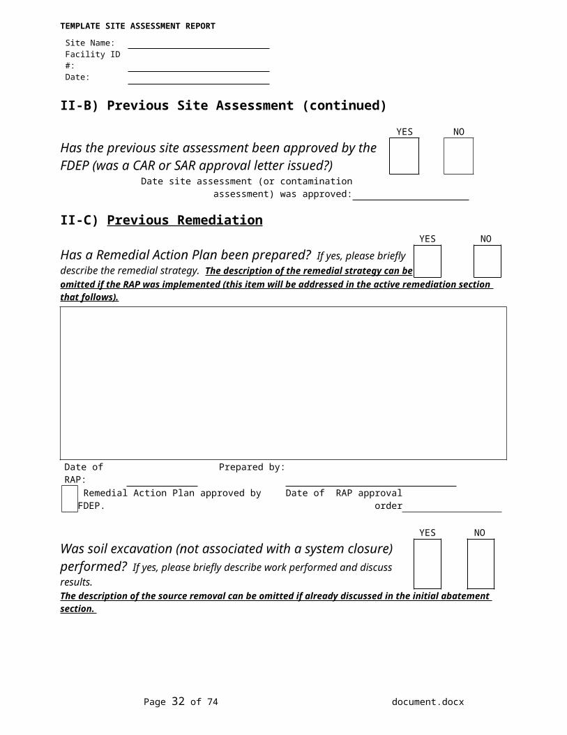
Has the previous site assessment been approved by the FDEP (was a CAR or SAR approval letter issued?)
Date site assessment (or contamination assessment) was approved:
II-C) Previous RemediationYES NO
Has a Remedial Action Plan been prepared? If yes, please briefly describe the remedial strategy. The description of the remedial strategy can be omitted if the RAP was implemented (this item will be addressed in the active remediation section that follows).
Date of RAP: Prepared by: Remedial Action Plan approved by FDEP. Date of RAP approval order
YES NOWas soil excavation (not associated with a system closure) performed? If yes, please briefly describe work performed and discuss results.The description of the source removal can be omitted if already discussed in the initial abatement section.
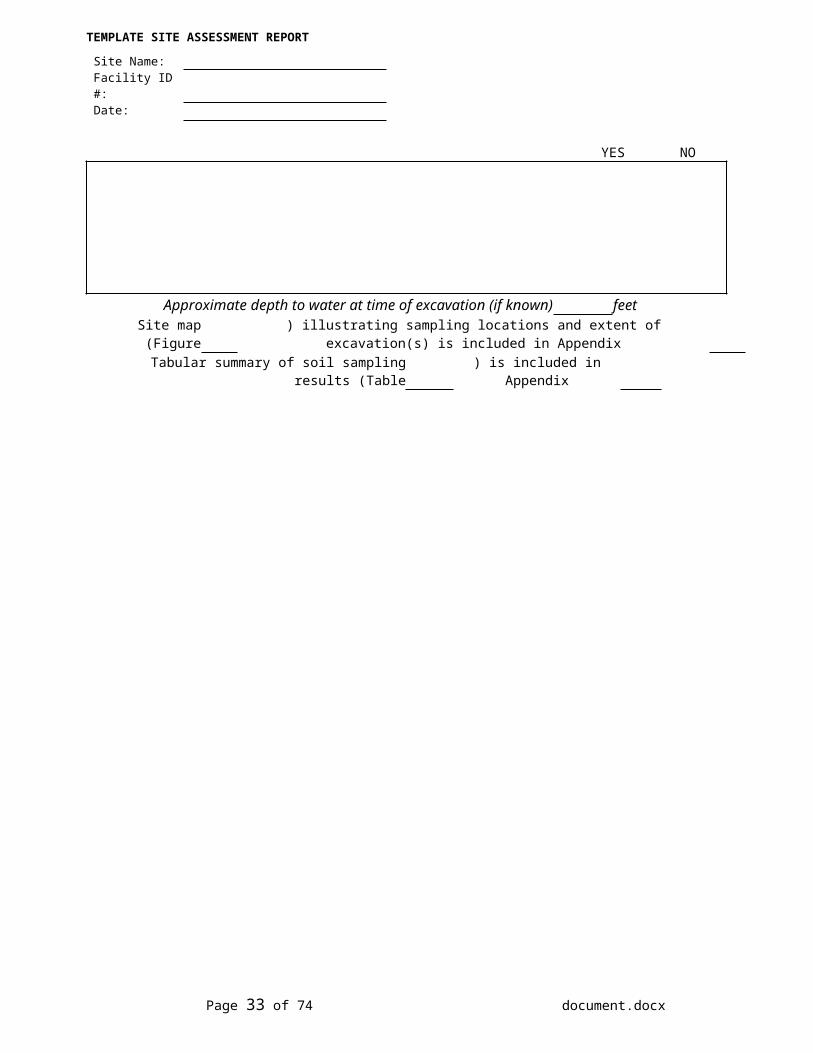
Approximate depth to water at time of excavation (if known) feet Site map (Figure ) illustrating sampling locations and extent of excavation(s) is included in Appendix
Tabular summary of soil sampling results (Table ) is included in Appendix
Page 19 of 43 document.docx
TEMPLATE SITE ASSESSMENT REPORT
Site Name:Facility ID #:Date:
II-C) Previous Remediation (continued)YES NO
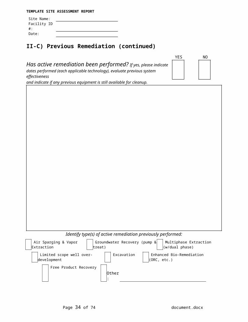
Has active remediation been performed? If yes, please indicate dates performed (each applicable technology), evaluate previous system effectivenessand indicate if any previous equipment is still available for cleanup.
Identify type(s) of active remediation previously performed: Air Sparging & Vapor Extraction Groundwater Recovery (pump & treat) Multiphase Extraction (w/dual phase)
Limited scope well over-development Excavation Enhanced Bio-Remediation (ORC, etc.)
Free Product Recovery Other:
Page 20 of 43 document.docx
TEMPLATE SITE ASSESSMENT REPORT
Site Name:Facility ID #:Date:
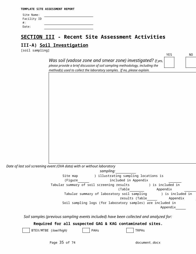
SECTION III - Recent Site Assessment ActivitiesIII-A) Soil Investigation[soil sampling]
YES NO
Was soil (vadose zone and smear zone) investigated? If yes, please provide a brief discussion of soil sampling methodology, including the method(s) used to collect the laboratory samples. If no, please explain.
Date of last soil screening event (OVA data) with or without laboratory sampling:Site map (Figure ) illustrating sampling locations is included in Appendix
Tabular summary of soil screening results (Table ) is included in AppendixTabular summary of laboratory soil sampling results (Table ) is included in Appendix
Soil sampling logs (for laboratory samples) are included in Appendix
Soil samples (previous sampling events included) have been collected and analyzed for:Required for all suspected GAG & KAG contaminated sites.
BTEX/MTBE (low//high) PAHs TRPHs Required for all sites where Used Oil contamination is suspected.
Priority Pollutant Volatile As, Cd, Cr, Pb TRPHsOrganics & Extractable Organics
Page 21 of 43 document.docx
TEMPLATE SITE ASSESSMENT REPORT
Site Name:Facility ID #:Date:
III-A) Soil Investigation (continued)YES NO N/A
Was soil Investigative Derived Waste (IDW) generated? If yes, please describe method used for identifying soil needing disposal:
Volume of contaminated soil disposed of: drums cu. yds.Disposal method:
[soil results]YES NO N/A
Was soil contamination above applicable Cleanup Target Levels identified above the water table? If yes, identify whereconcentrations above CTLs were detected, depths encountered and corresponding OVA readings. If no, please indicate whether laboratory results agree with OVA readings (if they do not agree, please discuss significance of OVA screening data and/or reliability of laboratory results). If "N/A", please explain.
Approximate volume of vadose zone soil contamination: cu. yds.Site map (Figure ) illustrating extent of soil contamination is included in Appendix
Soil concentration summary (Table ) is included in AppendixSoil sampling logs (for laboratory samples) are included in Appendix
Page 22 of 43 document.docx
TEMPLATE SITE ASSESSMENT REPORT
Site Name:Facility ID #:Date:
III-A) Soil Investigation (continued)YES NO N/A
Was vadose zone soil contamination delineated? If no, please describe where additional borings should be located (indicating proposed depths of investigations). If "N/A", please explain.
Site map (Figure ) illustrating proposed sampling locations is included in AppendixYES NO N/A
Has a smear zone been identified? Definition: The "smear zone" is the soil contamination located within the zone of water table fluctuation (it has been described as a "secondary source" of contamination). If yes, please discuss the horizontal and vertical contaminant mass distribution in the smear zone. If no, please describe what additional information is needed (soil borings, well data, etc.). If "N/A", please explain.
Site map (Figure ) illustrating proposed sampling locations is included in Appendix
Page 23 of 43 document.docx
TEMPLATE SITE ASSESSMENT REPORT
Site Name:Facility ID #:Date:
III-B) Groundwater Investigation[monitoring wells/direct push]
YES NO
Were monitoring wells installed (or abandoned)? If yes, briefly identify which wells were installed/abandoned and describe their construction. The well locations and construction details can be omitted if the information is included in current site maps and tabular summaries.
Site map (Figure ) illustrating the well locations is included in AppendixTabular summary of well construction details (Table ) is included in AppendixMonitoring well completion reports are included in Appendix
YES NO
Was direct push (geoprobe) groundwater grab-sampling performed? If yes, briefly identify the locations and depths where the samples were collected.. A description of the sample locations and results can be omitted if the information is included in current site maps and tabular summaries
Site map (Figure ) illustrating the groundwater sampling results is included in AppendixTabular summary of groundwater sampling results (Table ) is included in Appendix
Page 24 of 43 document.docx
TEMPLATE SITE ASSESSMENT REPORT
Site Name:Facility ID #:Date:
III-B) Groundwater Investigation (continued)[groundwater sampling]
YES NO
Was groundwater sampling performed? If yes, please provide a brief discussion of groundwater purging and sampling methodology and identify the wellsthat were sampled. If no, please explain. A description of the sampling results can be omitted if the information is illustrated in current contaminant plume maps and tabular summaries
If groundwater sampling not performed, indicate date of last sampling event (if applicable):Indicate wells sampled on that date (if applicable):
Site map (Figure ) illustrating the groundwater sampling results is included in AppendixTabular summary of groundwater sampling results (Table ) is included in Appendix
Groundwater field sampling logs are included in Appendix Groundwater samples (previous sampling events included) have been collected and analyzed for:
Required for all suspected GAG/KAG sites.BTEX/MTBE PAHs TRPHs
Required for all contaminated GAG/KAG sites.
EDB Lead (Pb) VOHs Required for all suspected used oil (or unknown fuel type) contaminated sites.
Priority Pollutant Volatile As, Cd, Cr, Pb TRPHsOrganics & Extractable Organics
Page 25 of 43 document.docx
TEMPLATE SITE ASSESSMENT REPORT
Site Name:Facility ID #:Date:
III-B) Groundwater Investigation (continued)YES NO N/A
Was groundwater IDW generated? If yes, please explain why disposal on-site was not possible.
Volume of contaminated groundwater disposed of: drums gallons[groundwater results]
YES NO N/A
Was groundwater contamination identified above the applicable Cleanup Target Levels? If yes, indicate locations where highest concentrations detected with depths encountered. If "N/A", please explain.
Approximate volume of contaminated groundwater: gallonsPlume maps [Figure(s) ] illustrating extent of groundwater contamination
is/are included in Appendix
Page 26 of 43 document.docx
TEMPLATE SITE ASSESSMENT REPORT
Site Name:Facility ID #:Date:
III-B) Groundwater Investigation (continued)YES NO N/A
Has horizontal delineation been completed in the surficial aquifer? If no, please describe where additional sampling is required (indicating wells and needed analyses) and/or additional monitoring wells should be installed (indicating proposed screened intervals for each). If "N/A", please explain.
Site map (Figure ) illustrating proposed monitoring well locations is included in Appendix
YES NO N/A
Has vertical delineation been completed in the plume area? If no, please describe where additional sampling is required (indicating needed analyses) and/or identify locations where vertical extent well(s) should be installed (indicating proposed screened intervals, single or double cased and length of surface casings). If "N/A", please explain.
Site map (Figure ) illustrating proposed vertical extent well locations is included in Appendix
Page 27 of 43 document.docx
TEMPLATE SITE ASSESSMENT REPORT
Site Name:Facility ID #:Date:
III-B) Groundwater Investigation (continued)YES NO Unknown
Is the lower aquifer(s) contaminated? If yes, please describe location
and estimated depth of contamination. If unknown, please explain.
Cross-section (Figure ) illustrating vertical extent of contamination is included in Appendix
YES NO
Were natural attenuation parameters data collected? If yes, please specify which parameters were collected (and where collected) and provideinterpretation of results.
Site map (Figure ) illustrating natural attenuation parameter data is included in AppendixTabular summary of parameter sampling results (Table ) is included in Appendix
Page 28 of 43 document.docx
TEMPLATE SITE ASSESSMENT REPORT
Site Name:Facility ID #:Date:
III-B) Groundwater Investigation (continued)[impacted receptors]
YES NO Unknown
Have any supply wells or surface waters been impacted?If yes, please indicate concentration(s) of water sample(s) taken and the wells/surface water body/bodies impacted. If unknown, please explain.
YES NO Unknown
Is surface water and/or sediment sampling required? If yes, please indicate where samples should be collected, and the proposed analyses. [Note: surface water sampling results should be summarized with the groundwater analytical results and sediment sampling results should be summarized with the soil analytical results.] If unknown, please explain.
Site map (Figure ) illustrating sampling locations is included in Appendix
YES NO Unknown
Are there any potable wells that need to be sampled? If yes, please indicate wells to be sampled, and the proposed analyses. If unknown, please explain.
Site map (Figure ) illustrating potable well locations is included in Appendix
Page 29 of 43 document.docx
TEMPLATE SITE ASSESSMENT REPORT
Site Name:Facility ID #:Date:
III-C) Free Product InvestigationYES NO
Is free product present? If yes, please indicate where product has been observed and its thickness, describe the product (color, odor, etc.) and estimate the type and age of the product.
Site map (Figure ) illustrating free product thickness at well locations is included in AppendixTabular summary of free product thickness (Table ) is included in Appendix
YES NO N/A
Has the extent of free product been delineated? If no, please describe where additional wells or piezometers should be located.
Site map (Figure ) illustrating locations of proposed piezometers or wells is included in Appendix
YES NO N/A
Is free product recovery ongoing? If yes, please indicate the method and frequency of removal and summarize recovery efforts to date.
Tabular summary of product recovery amounts (Table ) is included in Appendix
YES NO N/A
If free product recovery is not ongoing, are free product recovery efforts recommended? If yes, please indicate the proposed method and frequency of removal. If no, please explain why product removal is not recommended.
Site map (Figure ) illustrating locations of proposed additional piezometers and/or wells for free product recovery is included in Appendix
Page 30 of 43 document.docx
TEMPLATE SITE ASSESSMENT REPORT
Site Name:Facility ID #:Date:
III-D) Comments
Any issues or concerns not addressed in previous questions which might help better describe the degree and extent of the contamination at this site.
Page 31 of 43 document.docx
TEMPLATE SITE ASSESSMENT REPORT
Site Name:Facility ID #:Date:
SECTION IV - Impacted MediaIV-A) Lithologic SummaryThe impacted aquifer(s) can be best characterized by the following description (predominantly):Select One
Sands [SW, SP, SM] Sandy Clay, Clayey Sand orSilty Clays [SC, ML, CL]
Clays [CH]
Intermingled Sandsand Clays
Intermingled Sands, Claysand Limestone
Limestone [LS]
Please describe a typical soil column and all defined aquifers (perched/upper/lower). This should include a brief description of the site lithology (using the Unified Soil Classification System), and all other geologic and/or hydrogeologic characteristics of the area which might influence migration or transport of the contamination.
Lithologic cross-section (Figure ) is included in Appendix
YES NO
Is the lithologic information obtained to date sufficient to characterize the impacted media? If no, please explain [indicating area(s) where additional lithologic data are needed]. A map illustrating where the additional borings/wells need to be located can be omitted if those locations have been identified in the soil and/or groundwater sections.
Site map illustrating proposed lithologic boring locations (Figure ) is included in Appendix
Page 32 of 43 document.docx
TEMPLATE SITE ASSESSMENT REPORT
Site Name:Facility ID #:Date:
IV-B) Hydrologic SummaryYES NO
Have all the monitoring well tops-of-casings been surveyed? If no, please describe why this information has not been obtained. [Note, the TOCsurvey does not have to be performed by a Professional Land Surveyor. However, if the monitoring wells are installed prior to the survey, then the TOCs should be included in the Professional Land Survey.]
YES NO
Was a professional land survey performed? If yes, please indicate date of survey, whether it was saved on disk (indicating type of program), and who performed it. Also indicate which monitoring wells (if any) were included in the survey. [Note: the site map must be based on the professional land survey.]
yes no
Is original signed and sealed professional land survey included?yes no
Is copy of electronic version of land survey (labeled with ID #, site name & report date) included?
YES NO
Have depth to groundwater and groundwater flow direction in the upper zone aquifer been determined? If yes, please indicate average depth to water and fluctuation range (low/high stand) in all impacted areas of the site. If no, please explain.
Site map(s) [Figure(s) ] illustrating upper zone water table elevations and interpretation(s) of groundwater flow direction(s) is/are included in Appendix
Tabular summary of all groundwater elevation data (Table ) is included in Appendix
Page 33 of 43 document.docx
TEMPLATE SITE ASSESSMENT REPORT
Site Name:Facility ID #:Date:
IV-B) Hydrologic Summary (continued)YES NO
Have depth to groundwater and groundwater flow direction(s) in lower and/or intermediate aquifer(s) been determined? If yes, please indicate average depth to water and fluctuation range in vertical extent wells (low/high stand). If no, please explain.
Site map [Figure(s) ] illustrating lower/intermediate zone water table elevations and interpretation(s) of groundwater flow direction(s) is/are included in Appendix
YES NO
Are perched aquifer conditions suspected? If yes, please indicate estimated depth and thickness of perched zone and whether perched zone extends across entire site.
Site map (Figure ) illustrating estimated lateral extent of perched zone (when it does not extend across entiresite), water level elevations and interpretation(s) of groundwater flow direction(s) is/are included in Appendix
YES NO Unknown
Is the site tidally influenced? If yes, please indicate tidal fluctuation range and whether groundwater flow direction might change during tidal cycle.If unknown, please indicate whether this issue is important at this site (outlining data collection plan if needed).
Site map(s) [Figure(s) ] illustrating changes in flow direction is/are included in Appendix
Page 34 of 43 document.docx
TEMPLATE SITE ASSESSMENT REPORT
Site Name:Facility ID #:Date:
IV-B) Hydrologic Summary (continued)YES NO Unknown
Is groundwater flow in the impacted aquifers being influenced by pumping from nearby water supply wells? If yes, please explain how this was determined and indicate which water well(s) are influencing groundwater flow. If unknown, please indicate whether this issue is important at this site (outlining data collection plan if needed).
Site map(s) [Figure(s) ] illustrating changes in flow direction due to pumping from nearly water supply wells is/are included in Appendix
YES NO N/A
Has the average hydraulic gradient (ft/ft) been determined? If yes, please indicate range of values (if applicable) and whether gradient is uniform across the site. Is there evidence of a vertical gradient? If "N/A", please explain.
Hydraulic gradient data and calculations included in Appendix
YES NO
Have any aquifer tests been performed at the subject site?If yes, please describe test method (slug test, pumping test, etc.), which wells were used, date performed and summarize test results [transmissivity, hydraulic conductivity,rate of groundwater flow, pumping rates (gpm), etc.]
Aquifer test data and calculations included in Appendix
Page 35 of 43 document.docx
TEMPLATE SITE ASSESSMENT REPORT
Site Name:Facility ID #:Date:
IV-B) Hydrologic Summary (continued)
Depth to groundwater in upper zone water-table wells (ft):
to Average (ft):
Depth to groundwater in lower zone vertical extent wells (ft):
to Average (ft):
Observed maximum range of upper zone fluctuation (ft):
Tidally influenced? Yes No
IV-C) Risk EvaluationYES NO
Is human health, safety, or welfare affected by exposure to the contamination or will the contamination substantially affect, or migrate to and substantially affect a known public or private source of potable water? If yes, please describe in detail.
Page 36 of 43 document.docx
Florida Department of Environmental Protection– - Petroleum Restoration Program
SECTION V - Post Assessment Summary & Recommendations Filled out AFTER site assessment has been completed
V-A) Site Assessment Summary
The Site Assessment Summary table shall be completed and submitted as an attachment to this TSAR. The summary is a separate Excel worksheet.
Site Assessment Summary completed and included as Table in Appendix A.
YES NO
Are all the documents submitted to date adequate to meet the site assessment requirements of Rule 62-780.600, FloridaAdministrative Code (F.A.C.)?
V-B) Recommendations YES NO
Is No Further Action (NFA) without conditions recommended? If yes, please provide reasons NFA is appropriate.
YES NO
Is No Further Action (NFA) with conditions recommended? If yes, please provide reasons conditional NFA is appropriate and describe the conditions [the needed institutional or engineering controls] pursuant to Rule 62-770.680(2), F.A.C.
Page 37 of 43 document.docx
TEMPLATE SITE ASSESSMENT REPORT
Site Name:Facility ID #:Date:
V-B) Recommendations (continued)YES NO
If the groundwater plume is shrinking or stable is there any reason that Remediation by Natural Attenuation (RNA) cannot be the selected remedial strategy? If no, outline the proposed monitoring plan including monitoring wells, sampling parameters and sampling frequency. If yes, specify why natural attenuation is not appropriate.
Monitoring Wells: Contaminants: Frequency: Duration:
YES NO
Is Source Removal (soil or free product) recommended? If yes, please outline proposed method and extent of source removal (is dewatering needed?)
Site map (Figure ) illustrating proposed extent of excavation is included in Appendix
Page 38 of 43 document.docx
TEMPLATE SITE ASSESSMENT REPORT
Site Name:Facility ID #:Date:
V-B) Recommendations (continued)YES NO
Is a Limited Scope Remedial Action Plan (LSRAP) needed?If yes, please provide reasons for performing limited remediation and briefly outline plan for remediation.
Site map (Figure ) illustrating locations of any proposed recovery wells (if applicable) is included in Appendix
If RAP already approved for site...YES NO
Is a Remedial Action Modification Plan (RAMP) needed? If yes, please provide reasons for continuing approved RA at the site and indicate proposed modifications.
Page 39 of 43 document.docx
TEMPLATE SITE ASSESSMENT REPORT
Site Name:Facility ID #:Date:
V-B) Recommendations (continued)YES NO
Is a Remedial Action Plan (RAP) needed? If yes, please provide reasons for performing in-situ remediation at the site and indicate which remediation technology or combination of technologies is recommended or should be evaluated(with reasons for recommendation).
YES NO
Is a Pilot Test recommended? If yes, please indicate recommended remedial technology and outline specifics of proposed pilot test. Details include area of site where test is planned, recovery/air sparging well construction details, which wells will be used to evaluate test, proposed recovery and/or pumping and/or blowing rates and plan for IDW disposal (if applicable).
*The FDEP should be consulted before preparing a pilot test outline.*
Site map (Figure ) illustrating pilot test layout is included in Appendix
Page 40 of 43 document.docx
TEMPLATE SITE ASSESSMENT REPORT
Site Name:Facility ID #:Date:
V-C) Comments
Any issues or concerns not addressed in previous questions which might influence remediation decisions at this site.
Page 41 of 43 document.docx
TEMPLATE SITE ASSESSMENT REPORT
Site Name:Facility ID #:Date:
SECTION VI - Program Issues (for state funded cleanup sites)
List of all consultant company personnel (not subcontractor employees) that participated in the field work or helped to prepare the report:
Name Duties Dates On-Site (if applicable)
thruthruthruthruthruthruthruthruthru
VI-A) Work Plan and Cost SummaryBriefly summarize initial work plan.
Copy of original work order or task assignment is included in appendix YES
NO
Was any extra work authorized? If yes, please summarize extra work planned for site.
Copies of all authorization forms are included in Appendix
Page 42 of 43 document.docx
TEMPLATE SITE ASSESSMENT REPORT
Site Name:Facility ID #:Date:
VI-A) Work Plan and Cost Summary (continued)YES NO
Was any planned work not performed? If yes, please describe work not performed with reasons why not performed.
YES NO
Are there any changes in cost from original work order, purchase order, or task assignment? If yes, please describe the changes and cost adjustments that will be required for invoicing.
Copies of all needed subcontractor and/or materials invoices and draft change order cost templateincluded in Appendix
Page 43 of 43 document.docx