Embed Size (px)
Citation preview
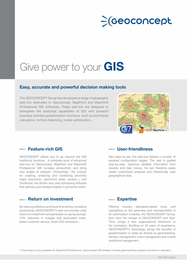
Easy, accurate and powerful decision making tools
The GEOCONCEPT Group has developed a range of geographic add-ons dedicated to Geoconcept, MapPoint and MapInfo® Professional GIS softwares. These add-ons are designed to strengthen the analytical capabilities of GIS with powerful business-oriented geoptimization functions, such as isochrones calculation, territory balancing, routes optimization...
Give power to your GIS
Feature-rich GIS
GEOCONCEPT allows you to go beyond the GIS traditional functions. A complete array of advanced add-ons for Geoconcept, MapPoint and MapInfo® Professional GIS increase productivity and bring new angles of analysis: Chronomap*, the module for creating, analyzing and combining proximity maps (isochrons, catchment areas, sectors...) and TourSolver, the drivers and crew scheduling software that optimize your transport logistic in just some clicks !
User-friendliness
Very easy-to-use, the add-ons feature a number of assisted configuration stages. The user is guided step-by-step, receiving detailed information from wizards and help menus. He can therefore easily create customised analyses and interactively view geographical data.
Return on investment
By reducing distance and travel time and by increasing productivity, GEOCONCEPT’s add-ons provide a fast return on investment and generates on-going savings: 15% reduction in mileage and associated costs, better customer service, lower CO2 emissions...
* Chonomap is only available for MapInfo® Professional. Geoconcept GIS already includes geomarketing analysis functions in standard.
Expertise
Offering industry standards-based tools, and capitalizing on the openness and interoperability of its optimization modules, the GEOCONCEPT Group, born from the merger of GEOCONCEPT and Opti-Time, brings a new organizational dimension to the workplace. Building on 23 years of experience, GEOCONCEPT’s technology brings the benefits of geoptimisation in areas as diverse as geomarketing, territory management, crisis management and mobile workforce management.
GIS Technology
ChronoMapDriving time within your geographical analysis
GIS Technologywww.geoconcept.com
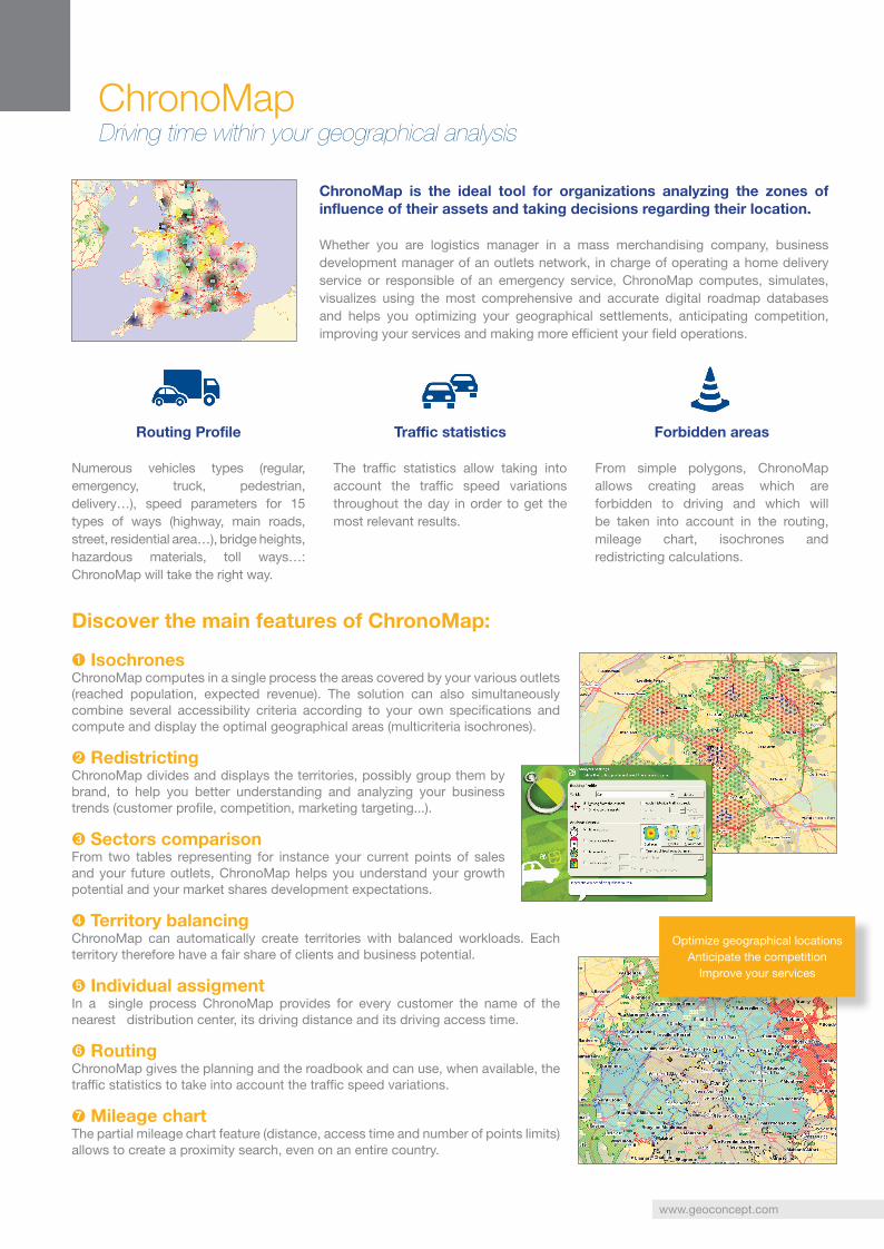
ChronoMap is the ideal tool for organizations analyzing the zones of influence of their assets and taking decisions regarding their location.
Whether you are logistics manager in a mass merchandising company, business development manager of an outlets network, in charge of operating a home delivery service or responsible of an emergency service, ChronoMap computes, simulates, visualizes using the most comprehensive and accurate digital roadmap databases and helps you optimizing your geographical settlements, anticipating competition, improving your services and making more efficient your field operations.
Routing Profile
Numerous vehicles types (regular, emergency, truck, pedestrian, delivery…), speed parameters for 15 types of ways (highway, main roads, street, residential area…), bridge heights, hazardous materials, toll ways…: ChronoMap will take the right way.
➊ IsochronesChronoMap computes in a single process the areas covered by your various outlets (reached population, expected revenue). The solution can also simultaneously combine several accessibility criteria according to your own specifications and compute and display the optimal geographical areas (multicriteria isochrones).
➋ RedistrictingChronoMap divides and displays the territories, possibly group them by brand, to help you better understanding and analyzing your business trends (customer profile, competition, marketing targeting...).
➌ Sectors comparisonFrom two tables representing for instance your current points of sales and your future outlets, ChronoMap helps you understand your growth potential and your market shares development expectations.
➍ Territory balancingChronoMap can automatically create territories with balanced workloads. Each territory therefore have a fair share of clients and business potential.
➎ Individual assigmentIn a single process ChronoMap provides for every customer the name of the nearest distribution center, its driving distance and its driving access time.
➏ RoutingChronoMap gives the planning and the roadbook and can use, when available, the traffic statistics to take into account the traffic speed variations.
➐ Mileage chartThe partial mileage chart feature (distance, access time and number of points limits) allows to create a proximity search, even on an entire country.
Discover the main features of ChronoMap:
Traffic statistics
The traffic statistics allow taking into account the traffic speed variations throughout the day in order to get the most relevant results.
Forbidden areas
From simple polygons, ChronoMap allows creating areas which are forbidden to driving and which will be taken into account in the routing, mileage chart, isochrones and redistricting calculations.
Optimize geographical locations Anticipate the competition
Improve your services
TourSolverOptimize your routes and lower your costs
GIS Technologywww.geoconcept.com
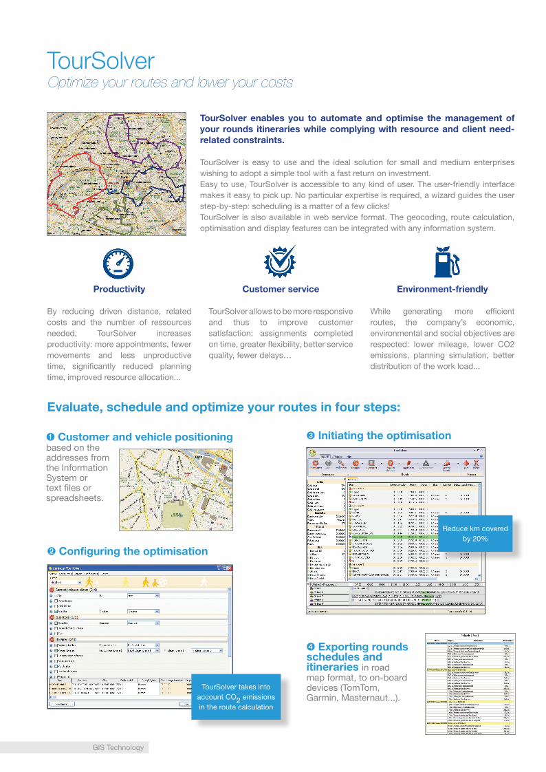
TourSolver enables you to automate and optimise the management of your rounds itineraries while complying with resource and client need-related constraints.
TourSolver is easy to use and the ideal solution for small and medium enterprises wishing to adopt a simple tool with a fast return on investment. Easy to use, TourSolver is accessible to any kind of user. The user-friendly interface makes it easy to pick up. No particular expertise is required, a wizard guides the user step-by-step: scheduling is a matter of a few clicks!TourSolver is also available in web service format. The geocoding, route calculation, optimisation and display features can be integrated with any information system.
Evaluate, schedule and optimize your routes in four steps:
Productivity
By reducing driven distance, related costs and the number of ressources needed, TourSolver increases productivity: more appointments, fewer movements and less unproductive time, significantly reduced planning time, improved resource allocation...
Customer service
TourSolver allows to be more responsive and thus to improve customer satisfaction: assignments completed on time, greater flexibility, better service quality, fewer delays…
Environment-friendly
While generating more efficient routes, the company’s economic, environmental and social objectives are respected: lower mileage, lower CO2 emissions, planning simulation, better distribution of the work load...
➊ Customer and vehicle positioning based on the addresses from the Information System or text files or spreadsheets.
➍ Exporting rounds schedules and itineraries in road map format, to on-board devices (TomTom, Garmin, Masternaut...).
➋ Configuring the optimisation
➌ Initiating the optimisation
TourSolver takes into account CO2 emissions in the route calculation
Reduce km covered by 20%
For further information, visit www.geoconcept.com
They useour solutions
They use Chronomap
«Using ChronoMap allowed us to double the number of our annual studies, in a few years»
Thibaut Collonnier, Studies Manager at Auchan (France).
«The analysis we could do with ChronoMap redistricting software enabled us to determine which vehicle can intervene to most quickly. We improved our organization, and reduced the number of intervention centers from 387 to 70»
MM. Dupraz and Klingler from ECA Vaud district (Switzerland).
«With ChronoMap, we could define isochrones, that show the driven time to the schools served, for handicapped children. Thanks to Chronomap, we could reduce our cost of 20%. Thus we can offer a better quality of service, and control our costs»
M. Grünfeld, SEO of TIM Traffic Information and Management (Germany).
Other references:Auchan France, Auchan Mexico, Auchan Spa, Bank Raiffeisen, Bell Canada, Bornemouth Council, CanWest Global, Carglass, Carrefour, Castorama, Commissions scolaires au Quebec, Crédit Agricole, FNTP, Giraudy, INSEE, Leclerc, AC Nielsen Srl, Europlex Cinem-London, Geodis, Iguasport/Decathlon, Intersport, Jones Lang Lasalle, La Poste Suisse, Lisbon University, L’Oréal Italia, MediaMarket spa, Mobistar, North Yorkshire City Council, Novartis, Pingo Doce, Renault Italia, Thalès, Unisys...
They use TourSolver
«We chose TourSolver for its price, ease of use and the quality of its results. It has helped us reduce the number of delivery routes, make all deliveries on time, optimize vehicle loading (90% ratio for all vehicles) and reduce costs by 40,000 USD per year»
Marc Léhé, Studies Manager at DNA (France).
«By using TourSolver as our main enterprise delivery and maintenance planning tool, we now consistently deliver on time and better allocate our resources»
Jean Pierre Pelicier, Logistics Manager Air Liquide Medicinal (France).
«TourSolver enables us to save time in planning scheduling activity, to share out better the work to do and to monitor efficiently sales forces activity, as workload is more precise and transparent»
Eduardo Pilón, New Technologies Managerat Winche Redes Comerciales (Spain).
Other references:ADW (Automotive Distributors Warehouse), Air Liquide Medicinal, Alliance Santé, Alliances Support Services, A Steadman & Son, Assistance Publique des Hôpitaux de Paris, Benjamin News Group, Böttcher France, BV Dairy, C&A, Cofiges, CPM Belgium (Omnicom Group), Creta Ceramica, Cryomed, DDA-Best Food, Distrimatic, DS Waters, DSS, Engrais Vital, Furniture Brands, Go Cuisines, ISA Trading, La Normande/SHM/Sageres Midi Services (Sodexho Group), Laboratoire Payot, Le Figaro, Lenôtre, L’Oréal Canada, London Borough of Hillingdon, Lyndale Bakeries, Maccess Ltd, M-Dis, Mediapost, Medigaz, Restaureco, Saiwa (Danone), Thiriet, Tiles UK, Ultimate Express, Vauban Automobile...
GEOCONCEPT’s add-ons meet the needs of various customers, whether from the public or private sectors: Local government, Public transportation, Retail & Wholesales, Delivery, BtoB services, Food and drinks, Bank, Finance, Insurance, Education...