Embed Size (px)
Citation preview
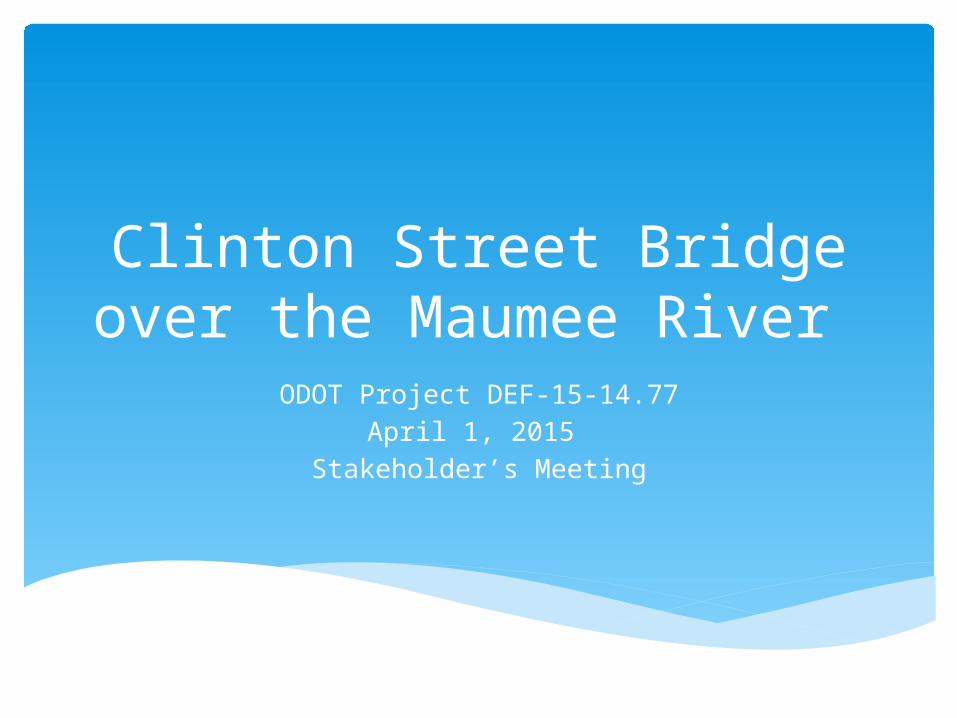
Clinton Street Bridge over the Maumee River
ODOT Project DEF-15-14.77April 1, 2015
Stakeholder’s Meeting
Review the project and why it’s happening Share the results of the Feasibility Study Identify stakeholder concerns Obtain stakeholder input
Purpose of Stakeholder Meeting
Address deteriorated condition of existing bridge
Improve pedestrian and bicycle accommodations City of Defiance Strategic Plan
Improve Americans with Disabilities Act (ADA) access to the bridge
Improve vertical sight distance at Fort Street
Project Purpose
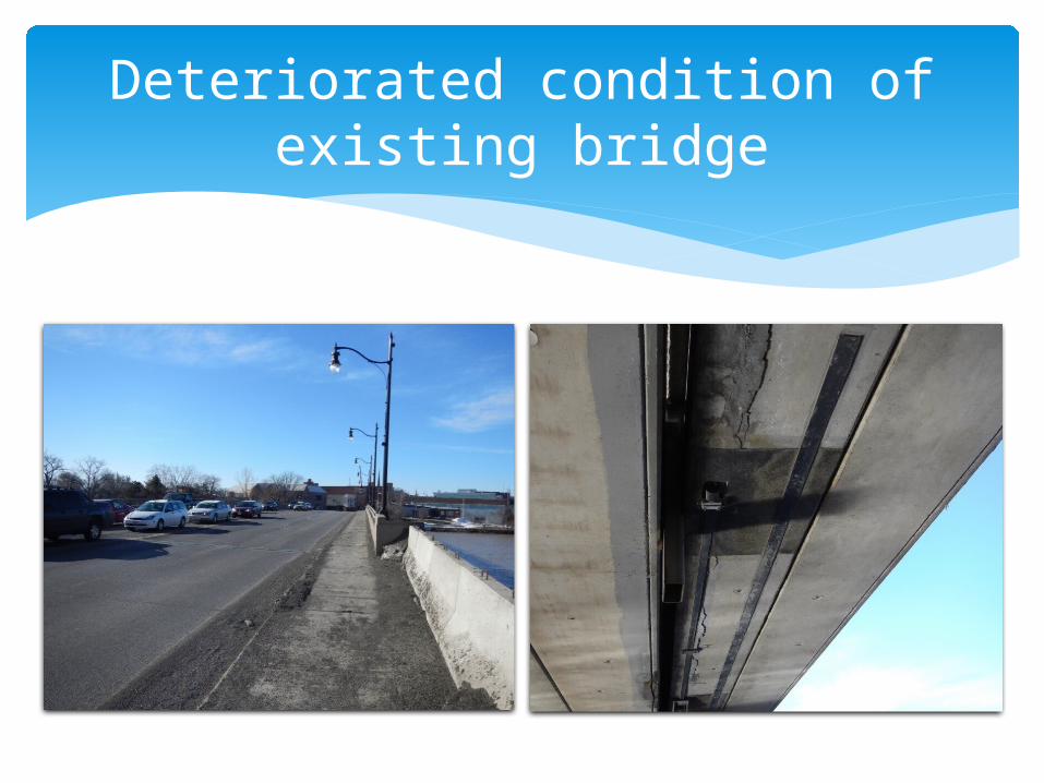
Deteriorated condition of existing bridge
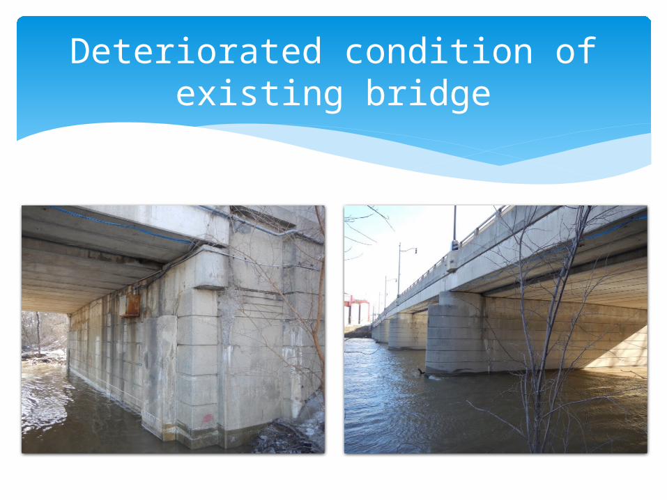
Deteriorated condition of existing bridge
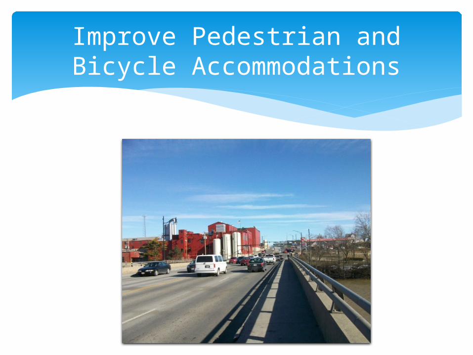
Improve Pedestrian and Bicycle Accommodations
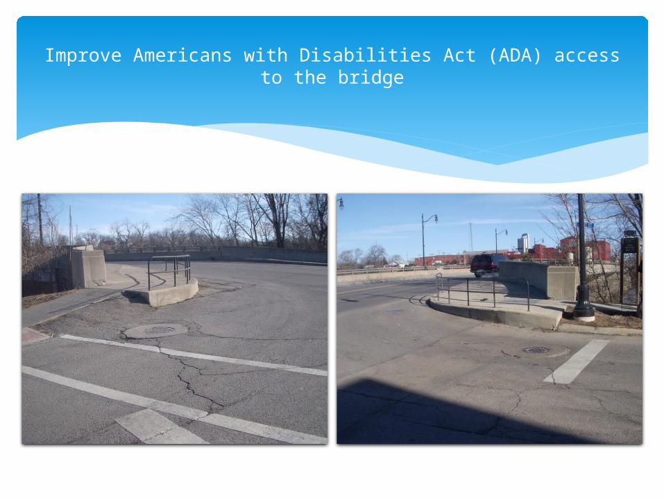
Improve Americans with Disabilities Act (ADA) access to the bridge
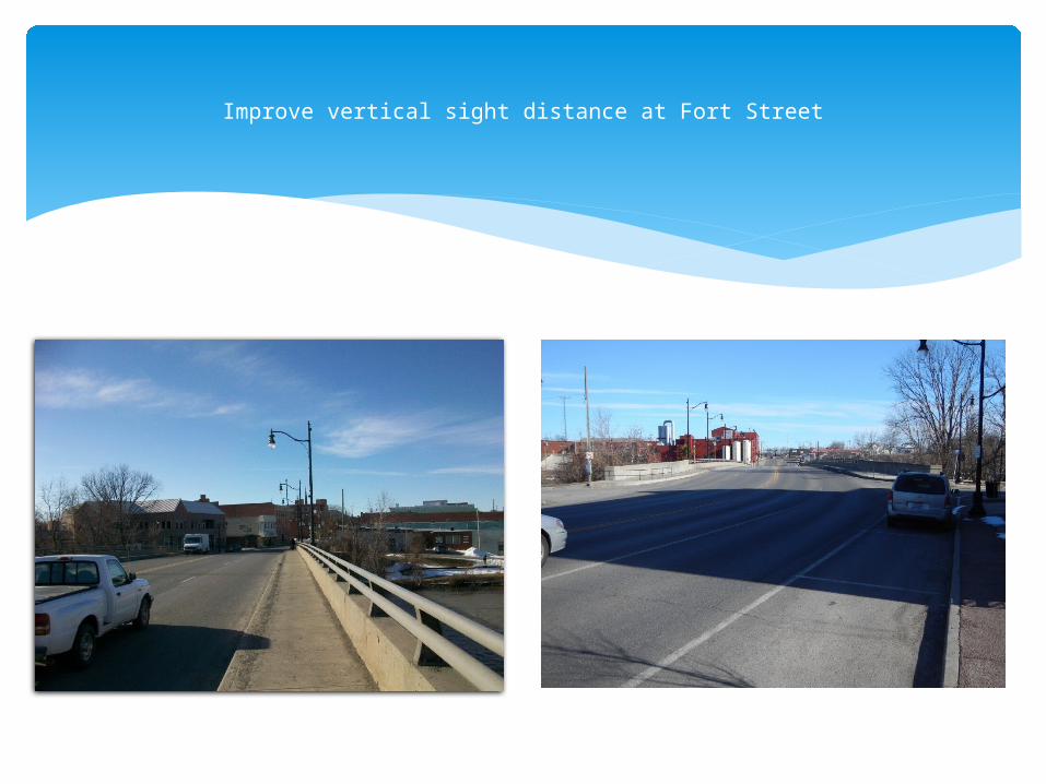
Improve vertical sight distance at Fort Street
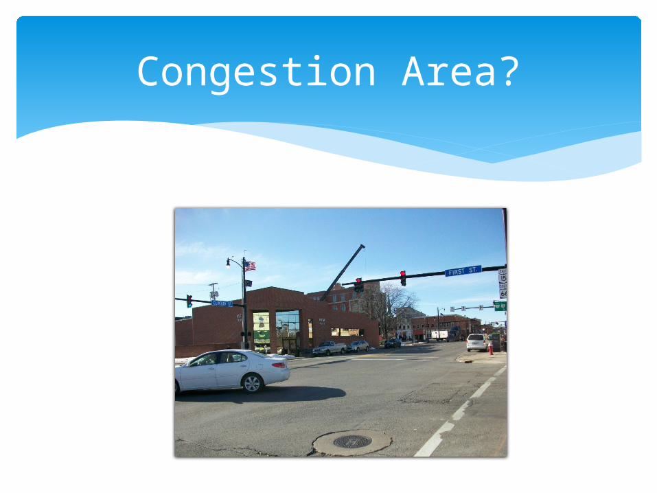
Possible congestion issues Accident history Southbound left turn from Clinton Street to
River Road (City of Defiance request) Rear-end accidents at south end of bridge
Investigate…
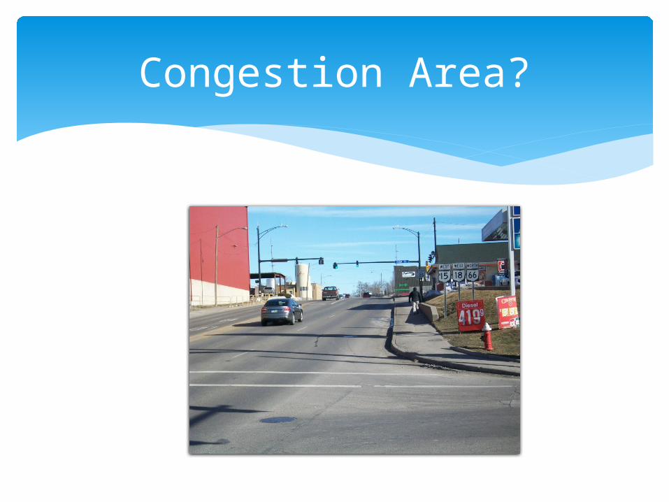
Congestion Area?

Congestion Area?
Congestion Area?
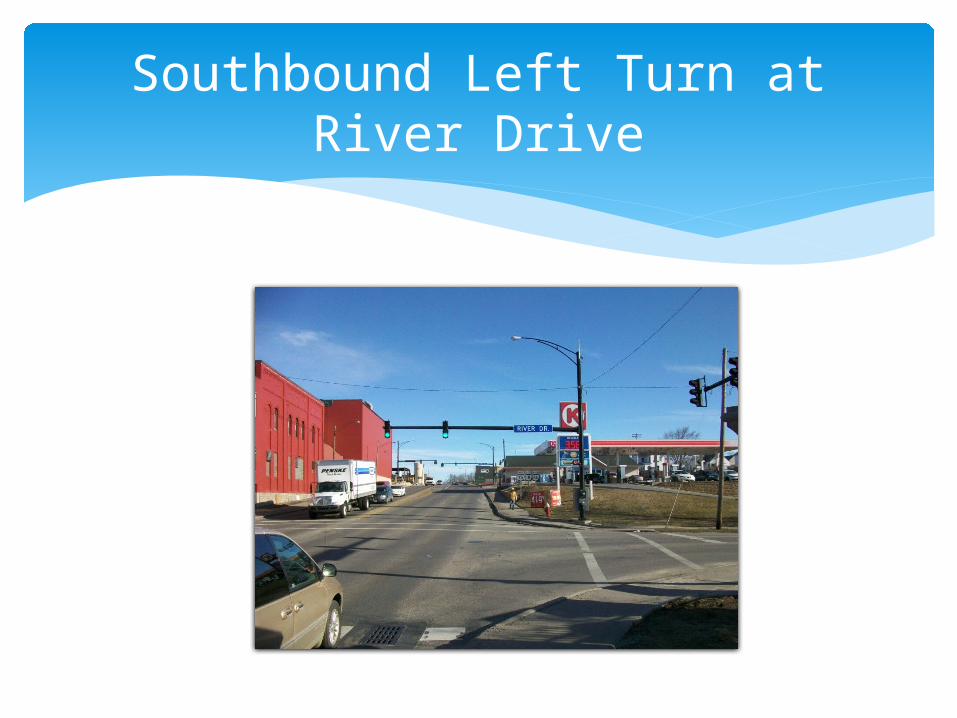
Southbound Left Turn at River Drive
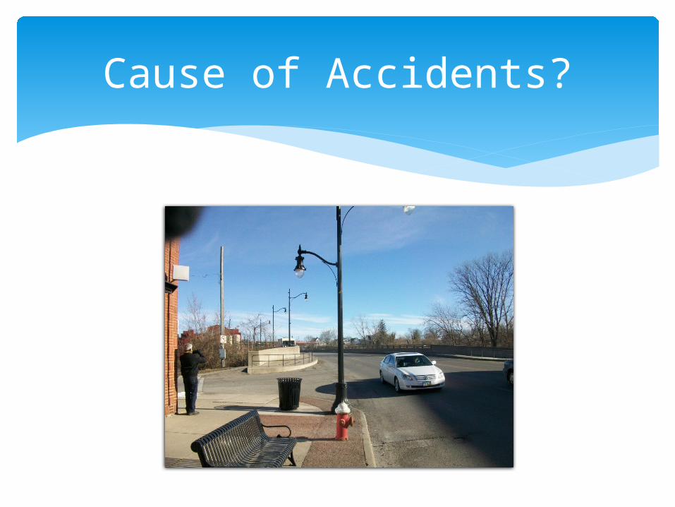
Cause of Accidents?
Includes the bridge and the next two intersections north and south of bridge
Engineering and environmental studies are performed within the study area
Larger than the actual project work limits Why? Actual project work limits have not yet
been determined.
Study Area
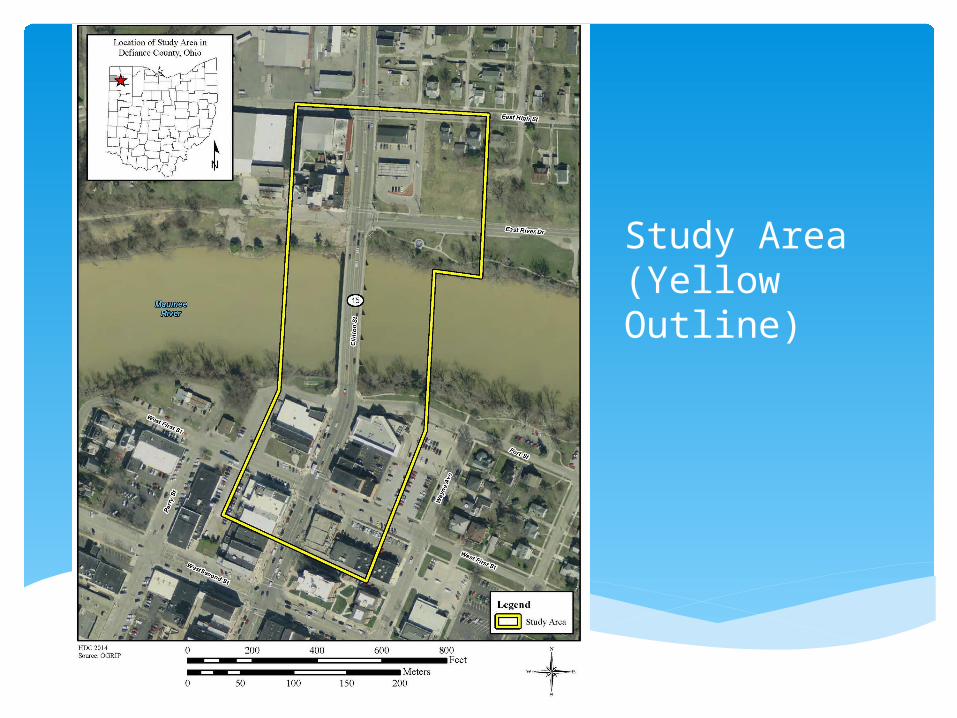
Study Area(Yellow Outline)
Underground storage tanks (current and former) Pontiac and Fort Defiance Parks Maumee River and mussels Several structures over 50 years old (none eligible
for the National Register of Historic Places) One archaeological site (southwest corner;
destroyed according to State Historic Preservation Office)
Concerns?
Environmental Concerns on the Project
Alternatives are first studied Feasible Alternatives are then determined A Preferred Alternative is then identified Draft Feasibility Study was submitted to
ODOT in December 2014 Revised Draft version available at this
meeting and on District 1 website
Alternatives Evaluation
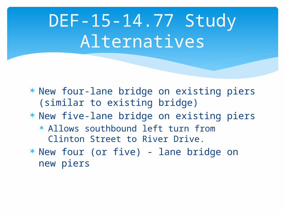
New four-lane bridge on existing piers (similar to existing bridge)
New five-lane bridge on existing piers Allows southbound left turn from Clinton Street
to River Drive. New four (or five) - lane bridge on new piers
DEF-15-14.77 Study Alternatives
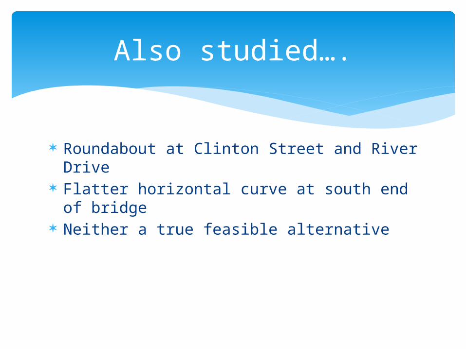
Roundabout at Clinton Street and River Drive Flatter horizontal curve at south end of
bridge Neither a true feasible alternative
Also studied….
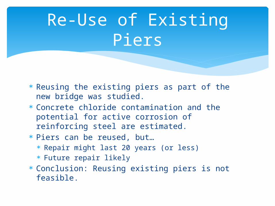
Reusing the existing piers as part of the new bridge was studied.
Concrete chloride contamination and the potential for active corrosion of reinforcing steel are estimated.
Piers can be reused, but… Repair might last 20 years (or less) Future repair likely
Conclusion: Reusing existing piers is not feasible.
Re-Use of Existing Piers
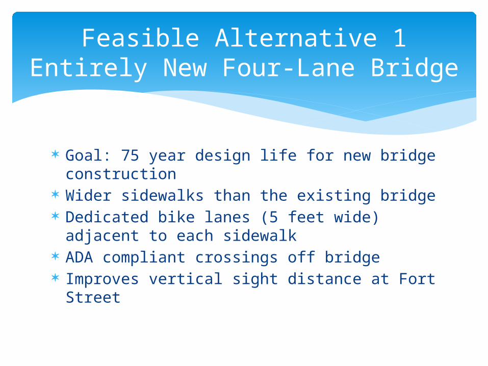
Goal: 75 year design life for new bridge construction
Wider sidewalks than the existing bridge Dedicated bike lanes (5 feet wide) adjacent
to each sidewalk ADA compliant crossings off bridge Improves vertical sight distance at Fort
Street
Feasible Alternative 1Entirely New Four-Lane Bridge
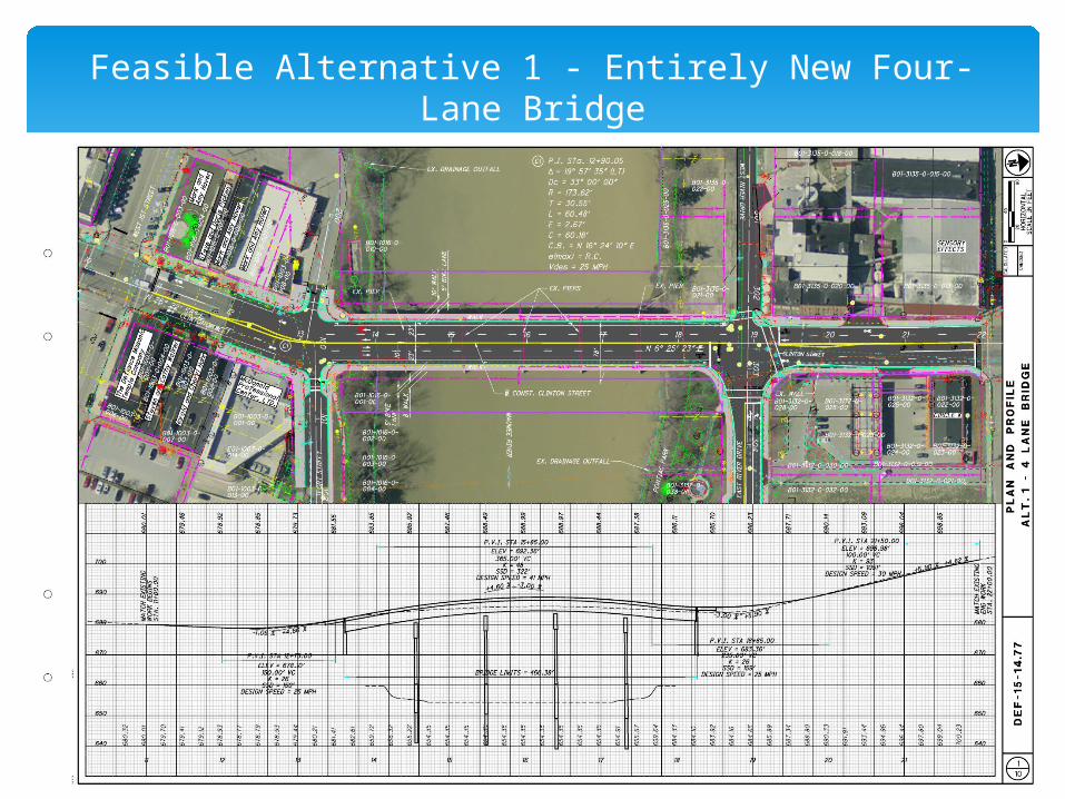
Feasible Alternative 1 - Entirely New Four-Lane Bridge
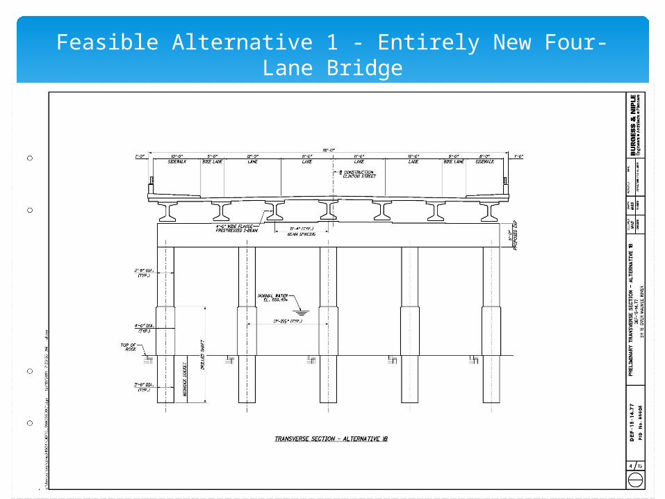
Feasible Alternative 1 - Entirely New Four-Lane Bridge
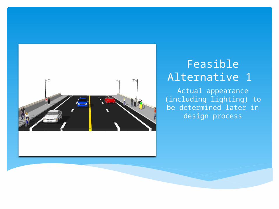
Feasible Alternative 1 Actual appearance
(including lighting) to be determined later in design
process
Same 75 year design life goal Same sidewalk, bike lanes, vertical sight
distance improvement as Feasible Alternative 1
Difference: Wider bridge to accommodate new lane north of bridge to allow southbound left turn at River Drive
Feasible Alternative 2Entirely New Five-Lane Bridge
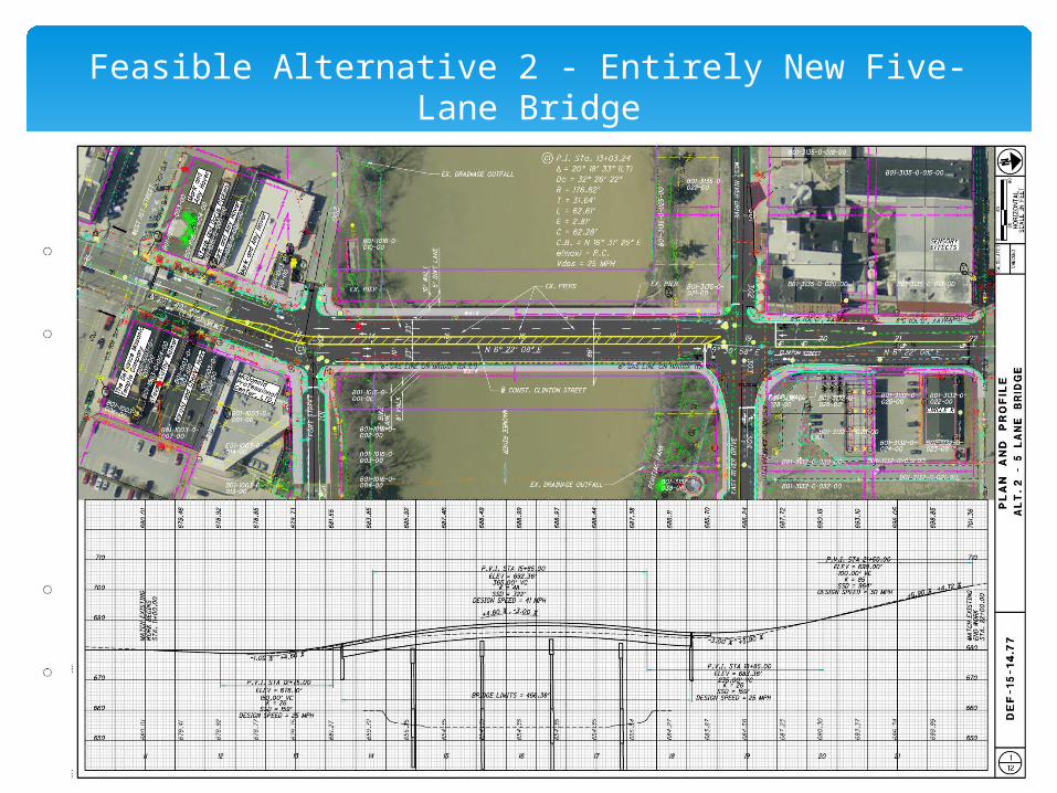
Feasible Alternative 2 - Entirely New Five-Lane Bridge
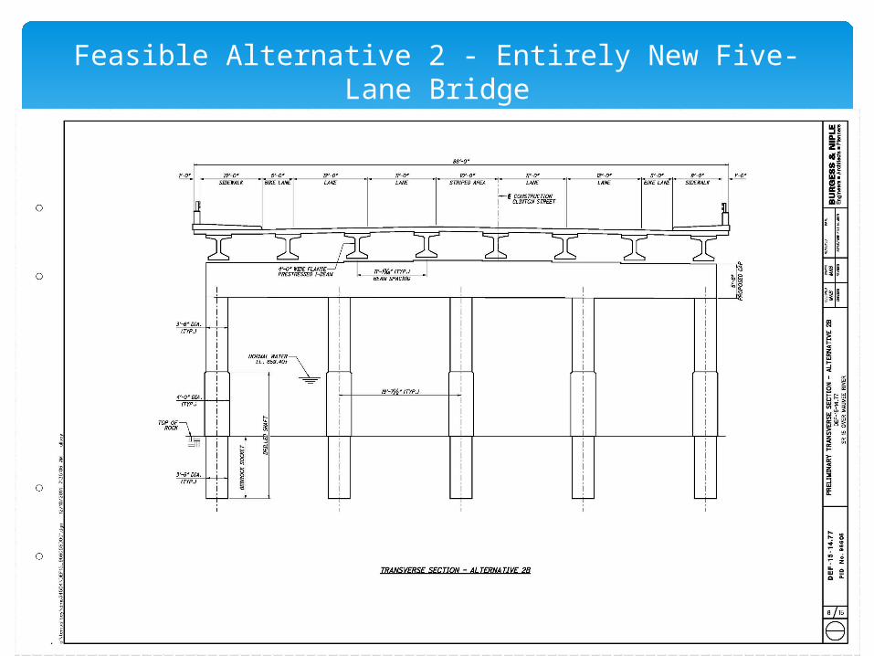
Feasible Alternative 2 - Entirely New Five-Lane Bridge
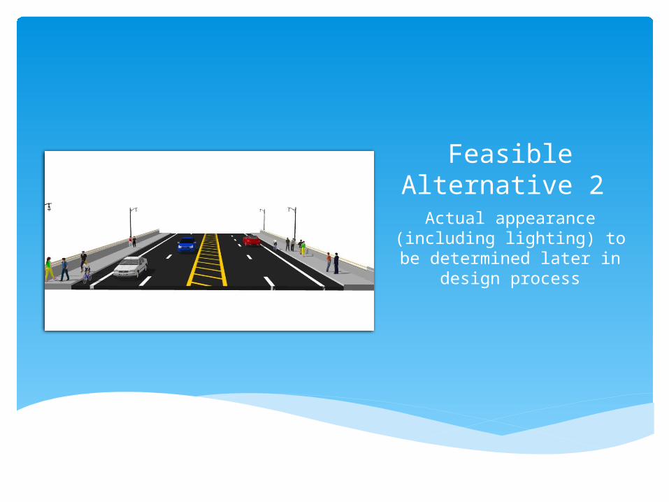
Feasible Alternative 2 Actual appearance
(including lighting) to be determined later in design
process
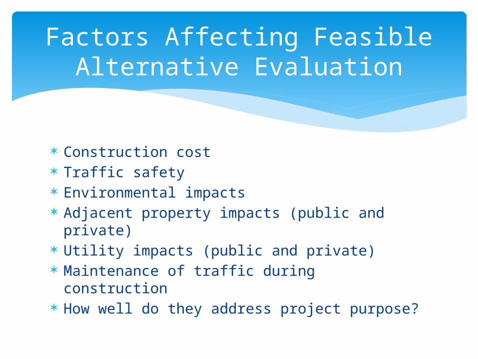
Construction cost Traffic safety Environmental impacts Adjacent property impacts (public and
private) Utility impacts (public and private) Maintenance of traffic during construction How well do they address project purpose?
Factors Affecting Feasible Alternative Evaluation
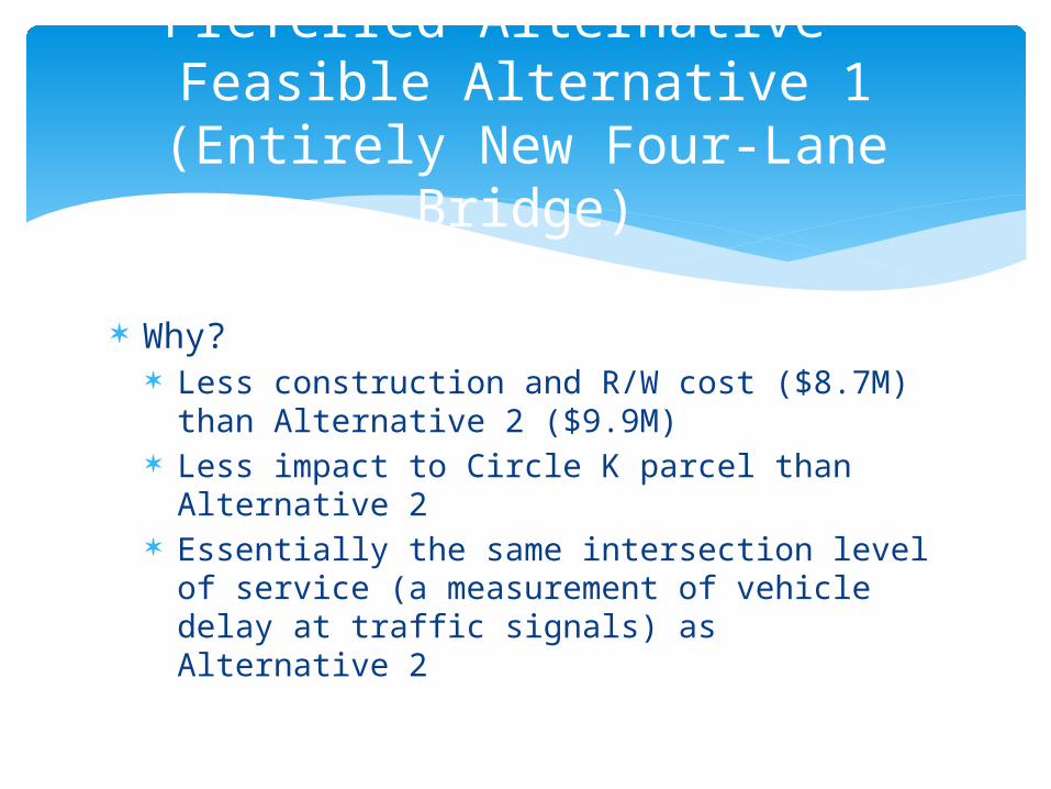
Why? Less construction and R/W cost ($8.7M) than
Alternative 2 ($9.9M) Less impact to Circle K parcel than Alternative
2 Essentially the same intersection level of
service (a measurement of vehicle delay at traffic signals) as Alternative 2
Preferred Alternative – Feasible Alternative 1 (Entirely New Four-
Lane Bridge)
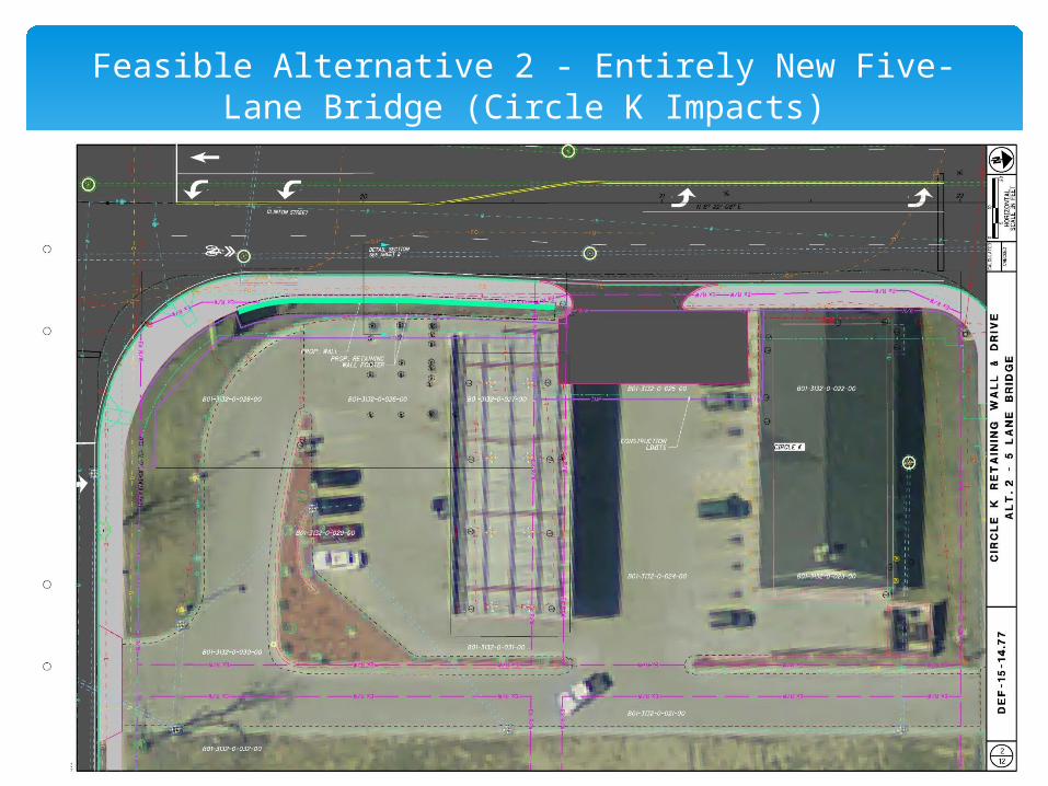
Feasible Alternative 2 - Entirely New Five-Lane Bridge (Circle K Impacts)
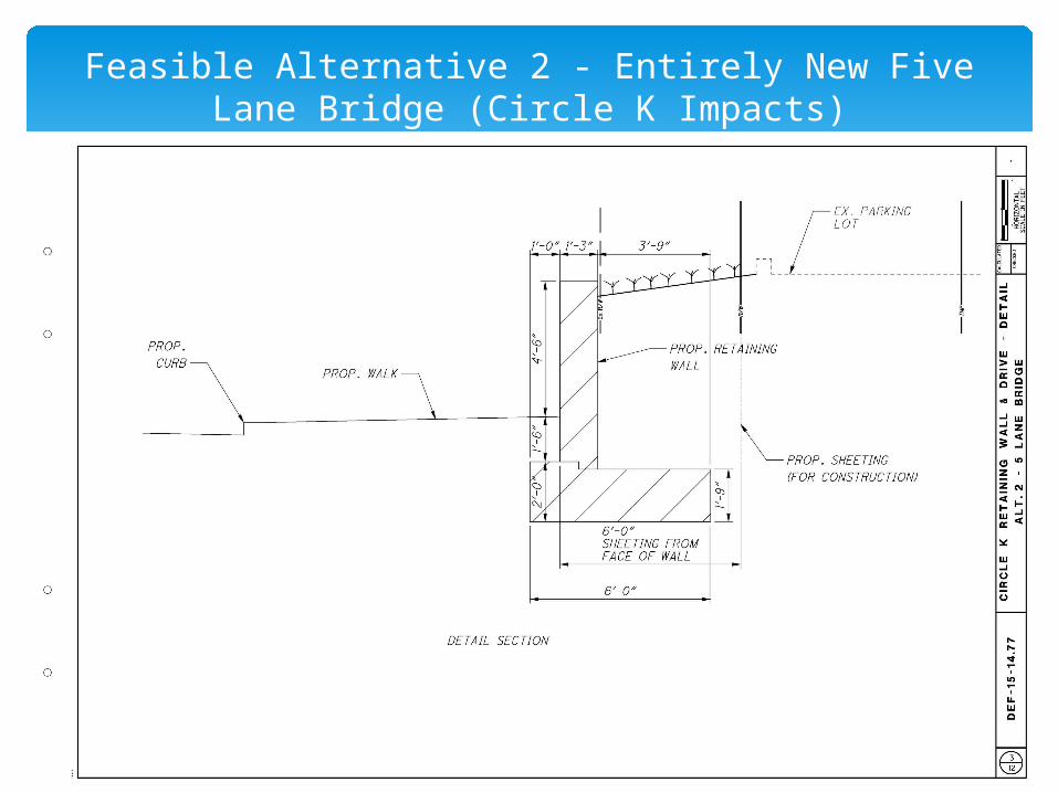
Feasible Alternative 2 - Entirely New Five Lane Bridge (Circle K Impacts)
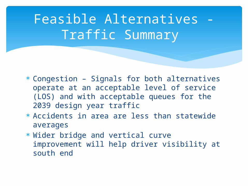
Congestion – Signals for both alternatives operate at an acceptable level of service (LOS) and with acceptable queues for the 2039 design year traffic
Accidents in area are less than statewide averages
Wider bridge and vertical curve improvement will help driver visibility at south end
Feasible Alternatives - Traffic Summary
Alternative 1 has either the same or fewer environmental impacts as Alternative 2.
Alternative 2 does have more underground storage tank and commercial property impacts than Alternative 1.
Both have approximately the same impacts to existing utilities in the project area.
Feasible Alternatives – Environmental and Utility Impacts Summary
Final appearance not yet determined Construction costs are currently based on
standard ODOT bridge type City preference is current bridge lighting Stakeholder and public comments will be
sought
Bridge Aesthetics(How the new bridge will look)
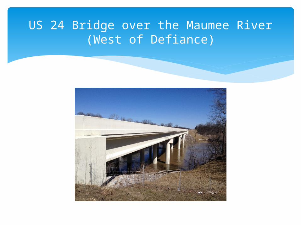
US 24 Bridge over the Maumee River(West of Defiance)
Goal - maintain at least local traffic during construction.
Preferred Alternative - one lane of vehicular traffic to be maintained in each direction
Pedestrian and bicycle access may be temporarily suspended
Two construction seasons likely (maintain traffic or detour)
Maintaining Traffic During Construction
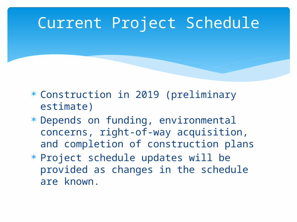
Construction in 2019 (preliminary estimate) Depends on funding, environmental
concerns, right-of-way acquisition, and completion of construction plans
Project schedule updates will be provided as changes in the schedule are known.
Current Project Schedule
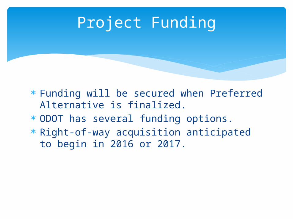
Funding will be secured when Preferred Alternative is finalized.
ODOT has several funding options. Right-of-way acquisition anticipated to begin
in 2016 or 2017.
Project Funding
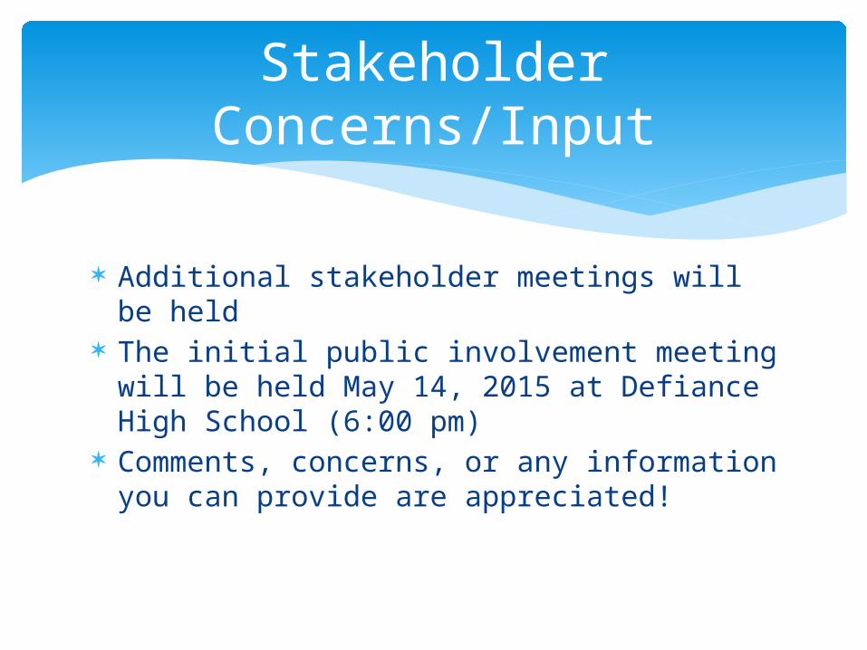
Additional stakeholder meetings will be held The initial public involvement meeting will
be held May 14, 2015 at Defiance High School (6:00 pm)
Comments, concerns, or any information you can provide are appreciated!
Stakeholder Concerns/Input
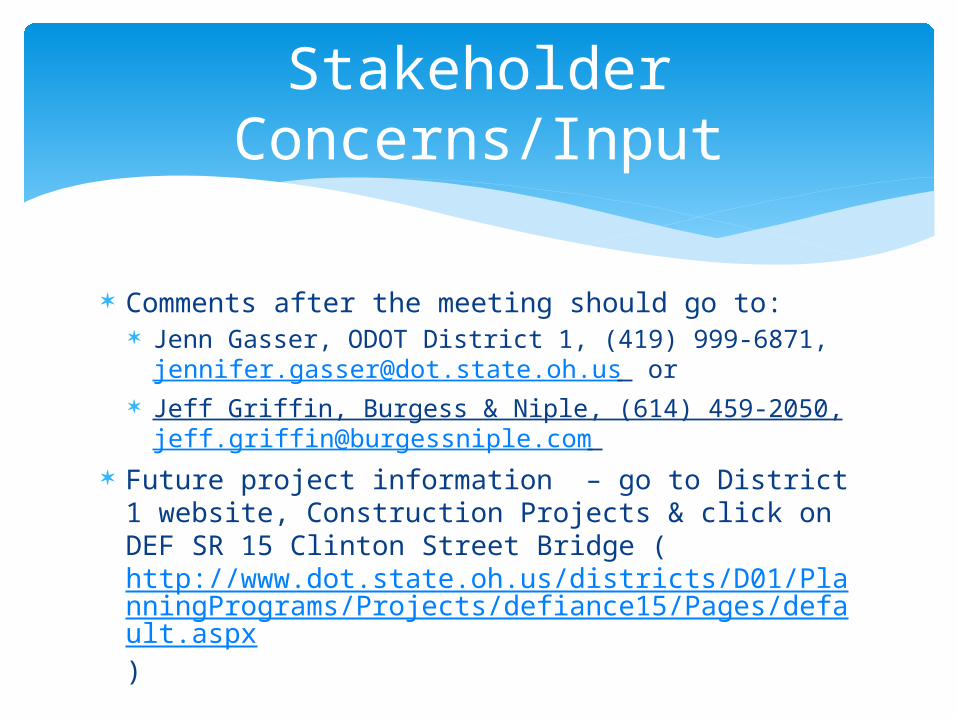
Comments after the meeting should go to: Jenn Gasser, ODOT District 1, (419) 999-6871,
[email protected] or Jeff Griffin, Burgess & Niple, (614) 459-2050,
[email protected] Future project information – go to District 1
website, Construction Projects & click on DEF SR 15 Clinton Street Bridge (http://www.dot.state.oh.us/districts/D01/PlanningPrograms/Projects/defiance15/Pages/default.aspx)
Stakeholder Concerns/Input