Embed Size (px)
Citation preview
CEOS Analysis Ready
Data For Land
(CARD4L)
Ferran Gascon, ESA
15 September 2017
Committee on Earth Observation Satellites
2
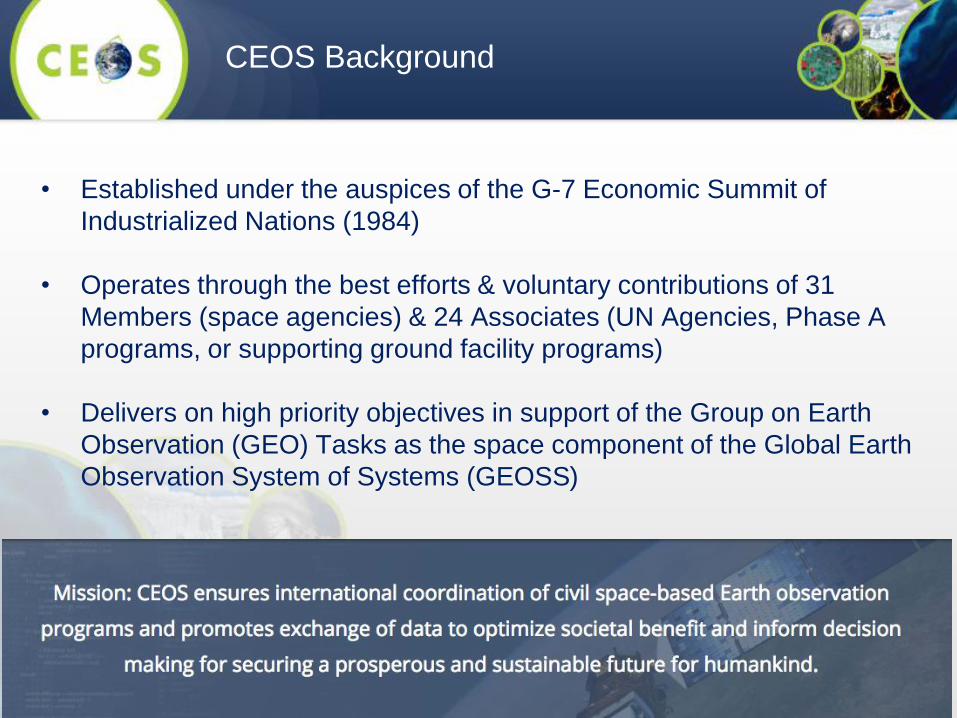
• Established under the auspices of the G-7 Economic Summit of
Industrialized Nations (1984)
• Operates through the best efforts & voluntary contributions of 31
Members (space agencies) & 24 Associates (UN Agencies, Phase A
programs, or supporting ground facility programs)
• Delivers on high priority objectives in support of the Group on Earth
Observation (GEO) Tasks as the space component of the Global Earth
Observation System of Systems (GEOSS)
CEOS Background
• Serve as a focal point for coordinating international satellite Earth
Observation (EO) activities
• Optimize EO benefits via cooperation on mission planning & the
development of compatible data products, formats, services,
applications, & policies
• Exchange policy & technical information to encourage
complementarity & compatibility among space-based EO systems &
their data
• Address issues of common interest across the spectrum of EO
satellite missions
• CEOS Land Surface Imaging Virtual Constellation
• Re-established at the 2015 CEOS Plenary.
• Led by ESA (Bianca Hoersch), GA (Adam Lewis), and
USGS (Jenn Lacey).
• Over 20 members representing 12 agencies (CNES,
CSA, CSIRO, DLR, EC, ESA, GA, ISRO, JAXA, NASA,
NOAA, USGS).
4
CEOS LSI-VC Background
5
The LSI-VC aims to optimize the use of existing and future land
surface imaging assets and data to better meet user needs by:
• Promoting sustained and systematic collection of satellite-derived
land surface imaging observations by sharing information on future
mission development
• Drawing together validated requirements identified by downstream
user communities to:
o Identify opportunities to better optimize, and increase resilience
of, land surface imaging programs
o Identify current and potential data gaps (both in terms of
geographic and temporal coverage, and in land monitoring
requirements)
LSI-VC Objectives
6
• Coordinating production and distribution of, and ability to analyze,
fundamental, non-domain specific, measurements derived from
land surface imaging observations (e.g. surface reflectance, land
surface temperature, calibrated radar backscatter [gamma and
sigma nought])
• Facilitating maximum utilization of land surface imaging
observations through the promotion of common standards
making land surface image products more easily discovered
and ready for analysis
LSI-VC Objectives (cont.)
• LSI-VC served as the forum for developing the CEOS
Analysis-Ready Data definition (now known as
CARD4L – CEOS Analysis-Ready Data for Land).
• CARD4L underpins a large amount of the future data
architectures work being progressed within CEOS.
• The CARD4L definition was endorsed by the CEOS
Plenary in 2016.
7
CEOS Analysis Ready Data
8
CEOS Analysis Ready Data for Land
(CARD4L), are satellite data that have been
processed to a minimum set of
requirements and organized into a form that
allows immediate analysis with a minimum
of additional user effort, and,
interoperability both through time and with
other datasets
The definition – CARD4L
9
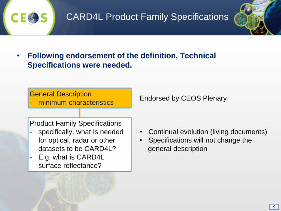
• Following endorsement of the definition, Technical
Specifications were needed.
CARD4L Product Family Specifications
General Description
- minimum characteristics
Product Family Specifications
- specifically, what is needed
for optical, radar or other
datasets to be CARD4L?
- E.g. what is CARD4L
surface reflectance?
Endorsed by CEOS Plenary
• Continual evolution (living documents)
• Specifications will not change the
general description
10
• Product Family Specifications have been developed for:
o Surface Reflectance
o Surface Temperature
o SAR Backscatter Intensity
• The specification documents also have a guidance section:
o Examples of data and processing that produces CARD4L
o References to processes that produce analysis ready data
o Discussion of ‘threshold’ and ‘target’ levels of processing
Development of Product Family
Specifications
11
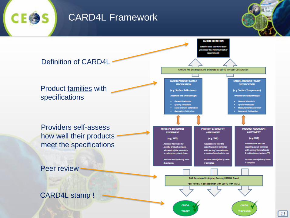
CARD4L Framework
Definition of CARD4L
Product families with
specifications
Providers self-assess
how well their products
meet the specifications
Peer review
CARD4L stamp !
12
CEOS ARD – Next Steps
• CEOS endorsement of the Product Family Specifications for
Surface Reflectance, Surface Temperature, SAR Backscatter
(September 2017)
• Draft the Product Alignment Assessment process / forms
• Prototype CARD4L data production with CEOS agencies
• Capture information on the benefits of CARD4L (cost-benefit
assessment)
• Engage with the other various ARD initiatives that are progressing
o Learn from them and seek feedback on CARD4L
o Share and promote the CARD4L Framework
• Investigate application of CEOS ARD concept to other domains
(oceans, atmosphere)


![Regional Report on Ozone Observation Ozone Observation [ RA-II: Asia ] Regional Report on Ozone Observation Ozone Observation [ RA-II: Asia ] Hidehiko](https://img.pdfslide.net/doc/110x75/56649f115503460f94c23df0/regional-report-on-ozone-observation-ozone-observation-ra-ii-asia-regional.jpg)