Embed Size (px)
Citation preview

CSE332: Data Abstractions
Lecture 25: There is no lecture 25
Dan Grossman
Spring 2010
2CSE332: Data Abstractions
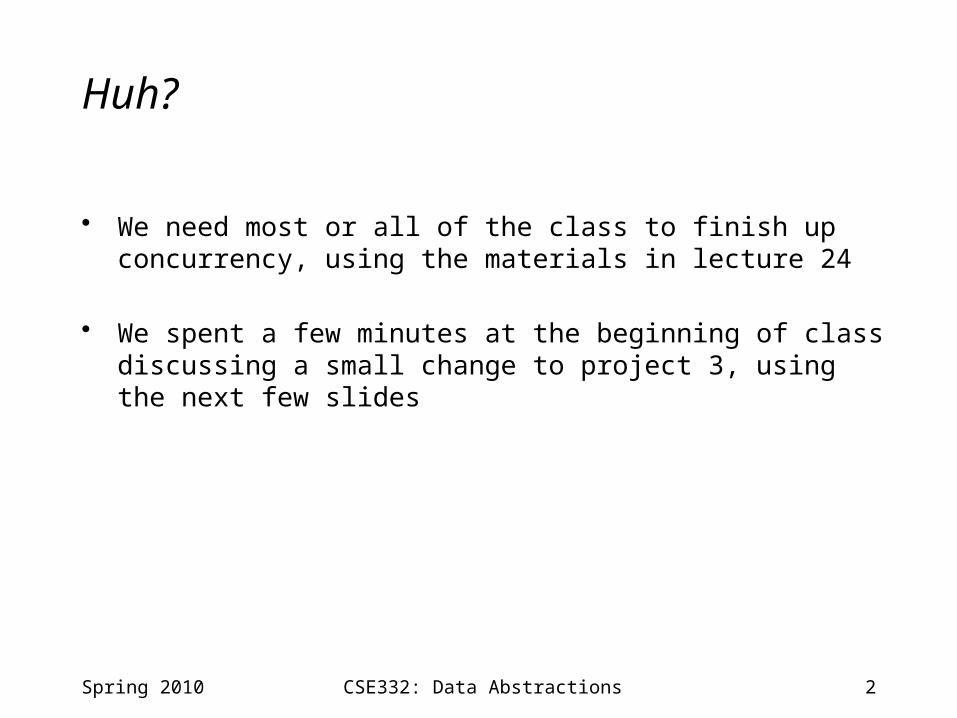
Huh?
• We need most or all of the class to finish up concurrency, using the materials in lecture 24
• We spent a few minutes at the beginning of class discussing a small change to project 3, using the next few slides
Spring 2010

3CSE332: Data Abstractions
GUI
Spring 2010
• Optional• Fun• Useful for testing against intuition• Easy to use
• Not good for testing timing• Not what we’ll grade against

4CSE332: Data Abstractions
Small change to code
• To get the GUI to:– Be accurate– Give the same answers as your text version
• We had to make a small change to the code provided to you– No change to your code or what you do– But does change the answers you will get!
• And slightly harder to compare against answers manually
Spring 2010

5CSE332: Data Abstractions
Projections
News update: The world is a globe and maps are flat
Spring 2010
To get a reasonable projection, we can basically change the latitude• The map in our GUI uses a Mercator Projection• So we’re changing the CensusGroup data to use the same
projection…

6CSE332: Data Abstractions
Changed code
class CensusGroup { int population; float latitude; float realLatitude; // ignore but may help test float longitude; CensusGroup(int pop, float lat, float lon) { population = pop; latitude = mercatorConversion(lat); realLatitude = lat; longitude = lon; } float mercatorConversion(float lat){
// math here }
}
Spring 2010

7CSE332: Data Abstractions
Bottom line
• You can swap in the new CensusGroup any time before next Tuesday
• Once you do, the latitude in the input file is not the latitude that will be used in your calculations– We did this for you– But will affect the result slightly: more so for data farther North– That’s all you have to understand
• Make sense?
Spring 2010