Embed Size (px)
Citation preview
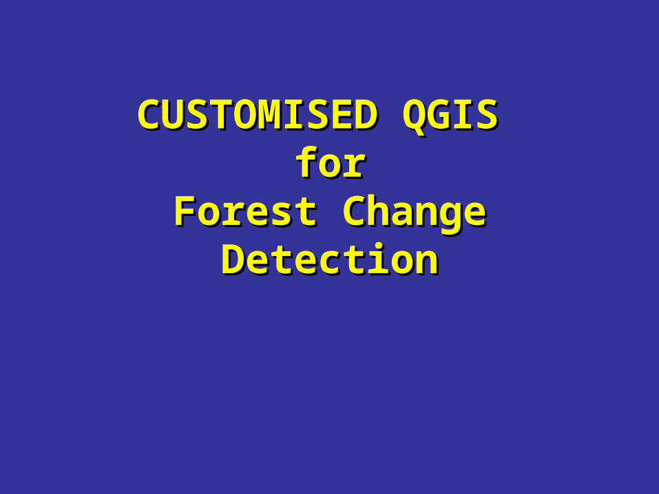
CUSTOMISED QGIS CUSTOMISED QGIS forfor
Forest Change Forest Change DetectionDetection
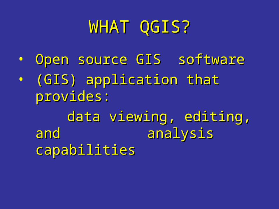
WHAT QGIS?WHAT QGIS?
• Open source GIS softwareOpen source GIS software• (GIS) application that provides:(GIS) application that provides:
data viewing, editing, and data viewing, editing, and analysis capabilitiesanalysis capabilities
QGIS History & New??QGIS History & New??
• Version 0.0.1( July 2002)Version 0.0.1( July 2002)• Version 1.8 ( June 2012)Version 1.8 ( June 2012)
• QGIS 1.8 has additional QGIS 1.8 has additional features: features:
» QGIS BrowserQGIS Browser» QGIS CloudQGIS Cloud» DB Manager DB Manager
New??New??
• QGIS 1.8 has additional Plugins: QGIS 1.8 has additional Plugins: » Terrain analysisTerrain analysis» GPS trackingGPS tracking» MSSQL Spatial Support MSSQL Spatial Support » Heat map toolHeat map tool» Customization etc…Customization etc…
http://woostuff.wordpress.com/http://woostuff.wordpress.com/2012/06/21/qgis-1-8-is-out/2012/06/21/qgis-1-8-is-out/
QUANTUM GISQUANTUM GIS
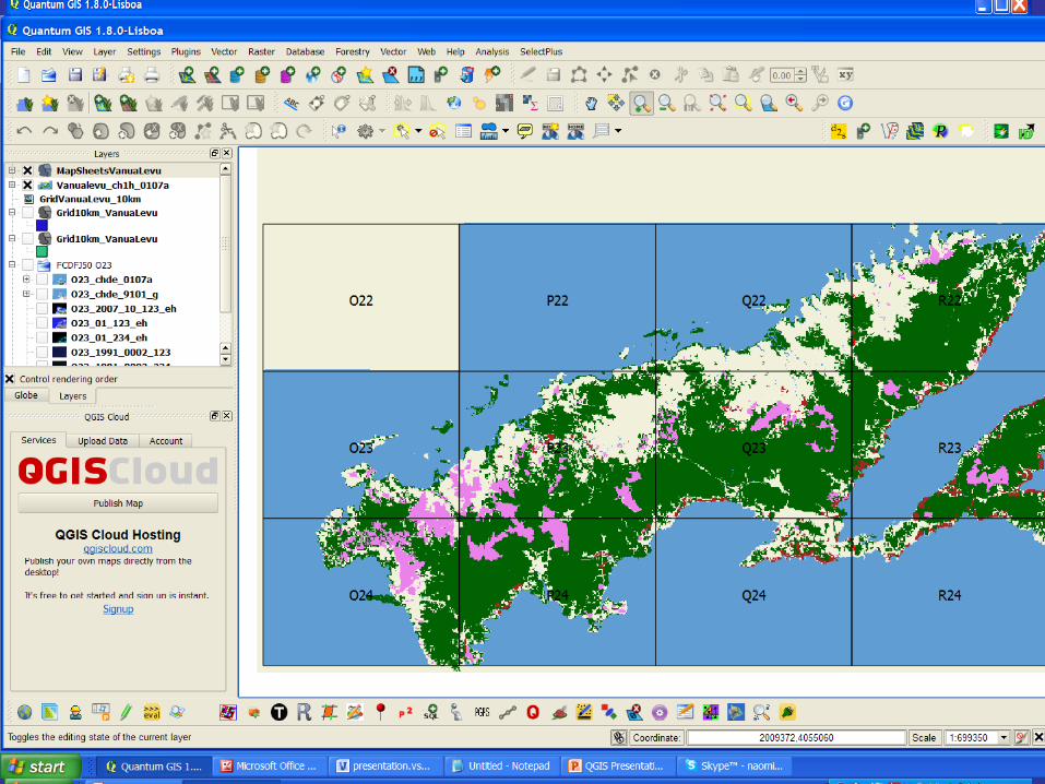
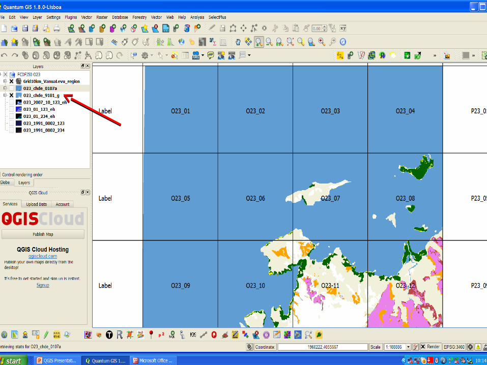
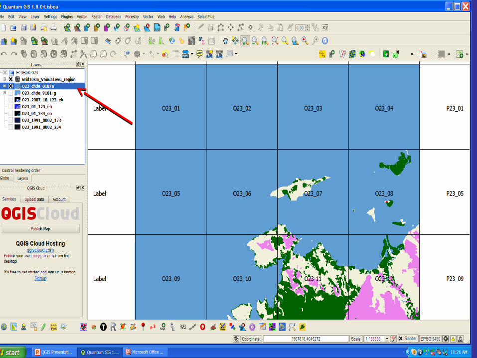
• Easily Add Vector LayersEasily Add Vector Layers• Link to external Database and Link to external Database and
import databaseimport database• Display Information on each Display Information on each
Island/AtollIsland/Atoll• Automatically change Properties Automatically change Properties
(different colors for different land (different colors for different land cover)cover)
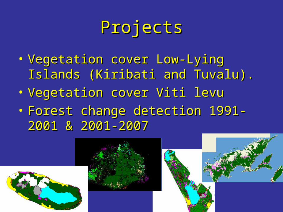
ProjectsProjects
• Vegetation cover Low-Lying Islands Vegetation cover Low-Lying Islands (Kiribati and Tuvalu).(Kiribati and Tuvalu).
• Vegetation cover Viti levuVegetation cover Viti levu• Forest change detection 1991-2001 Forest change detection 1991-2001
& 2001-2007& 2001-2007
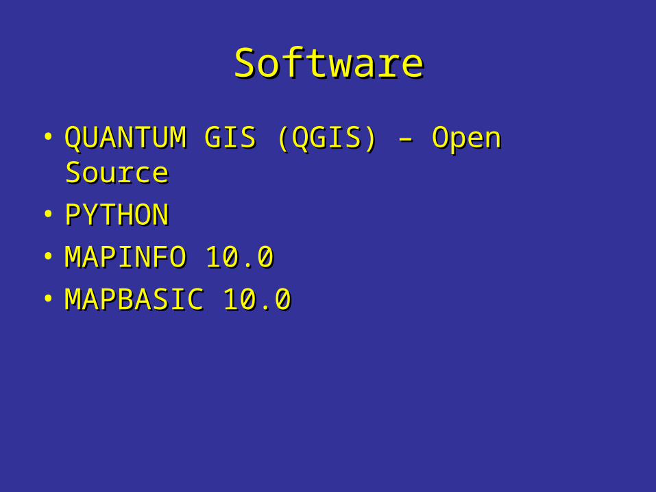
SoftwareSoftware
• QUANTUM GIS (QGIS) – Open SourceQUANTUM GIS (QGIS) – Open Source• PYTHONPYTHON• MAPINFO 10.0MAPINFO 10.0• MAPBASIC 10.0MAPBASIC 10.0
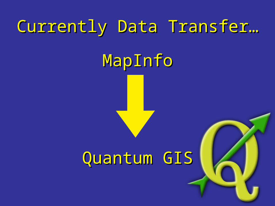
Currently Data Transfer…Currently Data Transfer…
MapInfoMapInfo
Quantum GISQuantum GIS
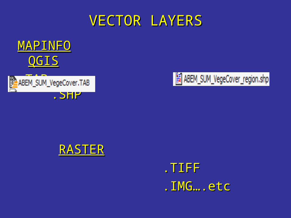
VECTOR LAYERSVECTOR LAYERS
MAPINFOMAPINFO QGISQGIS
.TAB .SHP.TAB .SHP
RASTERRASTER
.TIFF.TIFF
.IMG….etc.IMG….etc
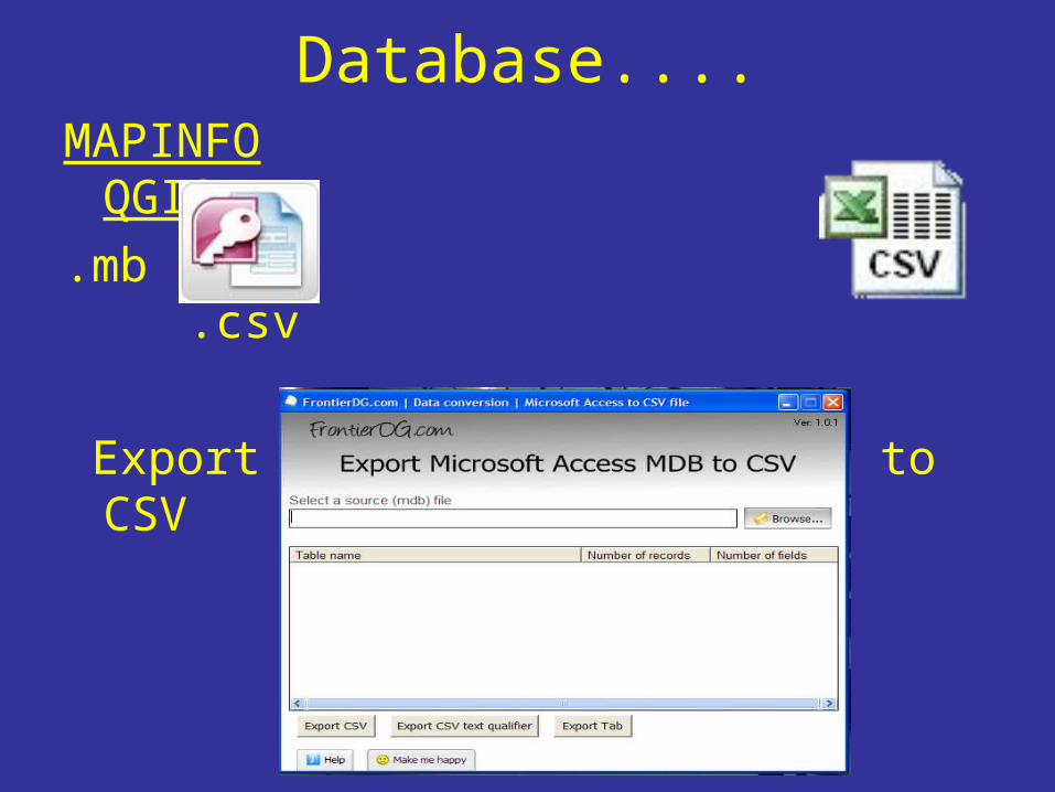
Database....MAPINFO QGIS.mb .csv
Export Microsoft Access MDB to CSV
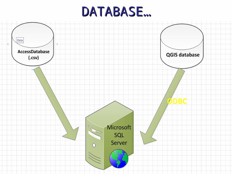
DATABASE…DATABASE…
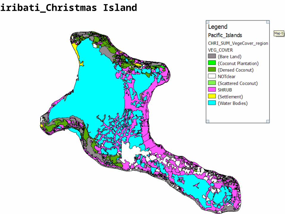
Kiribati_Christmas Island
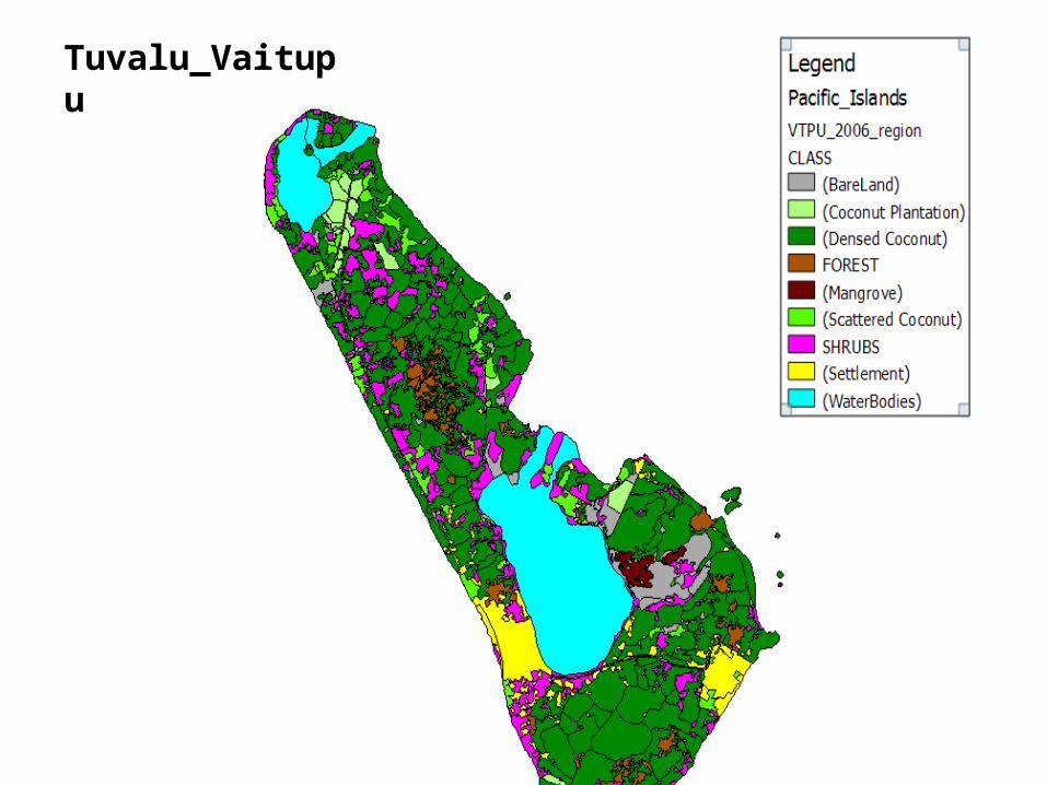
Tuvalu_Vaitupu
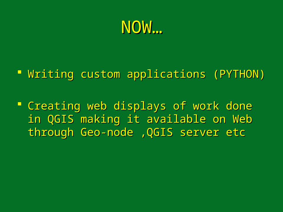
NOW…NOW…
Writing custom applications (PYTHON)Writing custom applications (PYTHON)
Creating web displays of work done in Creating web displays of work done in QGIS making it available on Web through QGIS making it available on Web through Geo-node ,QGIS server etcGeo-node ,QGIS server etc
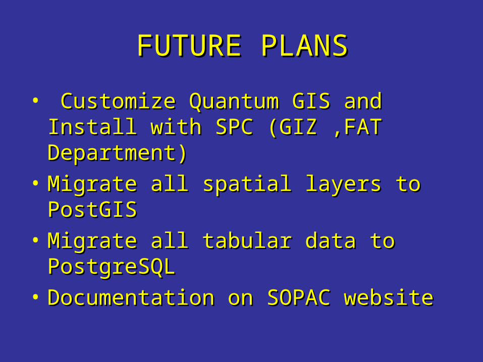
FUTURE PLANSFUTURE PLANS
• Customize Quantum GIS and Install Customize Quantum GIS and Install with SPC (GIZ ,FAT Department)with SPC (GIZ ,FAT Department)
• Migrate all spatial layers to PostGIS Migrate all spatial layers to PostGIS • Migrate all tabular data to Migrate all tabular data to
PostgreSQLPostgreSQL• Documentation on SOPAC websiteDocumentation on SOPAC website

Thankyou….Thankyou….
QUESTIONS???QUESTIONS???


![NEWSLETTER - polito.it · Mappa GIS – Metodologia applicata alla predittività del potenziale archeologico [*WEBGIS] . 21 ... Open Source GIS with QGIS / GRASS [*TUTORIAL]](https://img.pdfslide.net/doc/110x75/5ce253e288c99364268b9f6c/newsletter-mappa-gis-metodologia-applicata-alla-predittivita-del-potenziale.jpg)