Embed Size (px)
Citation preview

Deploying OGC Web ServicesGeoScience Victoria’s Experience
Alistair Ritchie, Senior Information Geologist
GeoScience Victoria

Outline• Background
• GeoScience Victoria services• Application schema and technology used
• deegree web feature service overview
• Geoserver ‘web-service’ overview
• Comparison of deegree with Geoserver app-schema
• The future
• Observations
BackgroundGeoScience Victoria (GSV)
• Victorian state geological survey
• Custodian of state’s geology and mineral exploration data
Why use web services and community schema?• Maintain a number of systems which change over time
• Need a stable standard interface to data
• Need a context in which to improve data quality
History of community involvement• Joined CGI interoperability working group in 2004
• Joined EarthResourceML working group in 2007
• Close collaboration with AuScope/ASRDC since 2008

GSV Services – app. schemaGeoScience Markup Langauge (GeoSciML)
• Deliver detailed geological map data
• Deliver results of drilling activities and resulting sub-surface sampling
• Participated in the development of the language and web services
• Geology services used by OneGeology geological map of the world
• Boreholes services support the National Virtual Core Library
Earth Resource Markup Langauge (EarthResourceML)• Deliver descriptions of mineral deposits and associated mining activities
• Participated in the development of the language and web services
• Collaboration with AuScope to deploy Australian network of services

GSV Services - Technologydeegree v2.*
• GeoSciML v2.0 – testbed and production services
• EarthResourceML v1.1 – production
• GeoSciML v2.0 (boreholes) – testbed and production services
deegree v3.0• Very little experience – German demo serving GSV data
• Candidate for GeoSciML v3.0 testbed
Geoserver app-schema• EarthResourceML v1.1 – test services (soon to replace deegree)
GeoServer web-service• GeoSciML v2.0 – in development to replace deegree
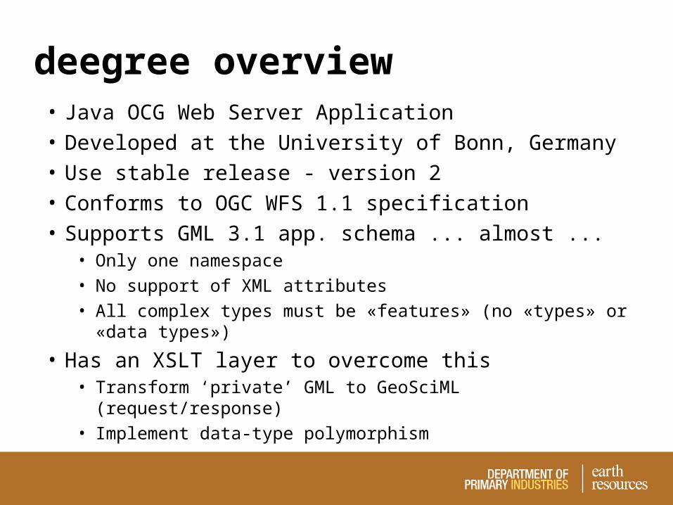
deegree overview• Java OCG Web Server Application
• Developed at the University of Bonn, Germany
• Use stable release - version 2
• Conforms to OGC WFS 1.1 specification
• Supports GML 3.1 app. schema ... almost ...• Only one namespace
• No support of XML attributes
• All complex types must be «features» (no «types» or «data types»)
• Has an XSLT layer to overcome this• Transform ‘private’ GML to GeoSciML (request/response)
• Implement data-type polymorphism

deegree overview
<<xml>>GeoSciMLRequest
<<gml>>GeoSciMLResponse
Deegree WFSVirtual
outputFormat
Client
Datastore
<<xslt>>inFilter
<<xslt>>outFilter
<<xsd>>PrivateSchema

Geoserver web-service• Web service datastore for app-schema
• Adds the OGC WFS interface to a SOAP web service
• Developed by an AuScope funded embedded software engineer
• Binds to a ‘generic’ SOAP web service
• Xpath mapping of nodes in SOAP service response to nodes in the target schema

Geoserver web-service
<<xml>>GeoSciMLRequest
<<gml>>GeoSciMLResponse
GeoServerweb-service
ClientDatastore
(Hibernate)
requestmapping
responsemapping
GSV WS(SOAP)
<<xsd>>PrivateSchema

deegree–Geoserver comparison
deegree 2.n Geoserver app-schema
polymorphism + +
flexibility + -
documentation/support - +
query capability - +
configuration - +
performance + -

deegree–Geoserver comparison
gsml:MappedFeature response times
0
10
20
30
40
50
60
70
80
0 50 100
No. Features
Re
sp
on
se
tim
e (
s)
deegree
Geoserver

deegree–Geoserver comparison• XSLT makes deegree 2 a flexible testbed tool
• Deegree 3 - an unknown quantity but promising reviews
• Geoserver is a complete WFS 1.1/GML3.1.n package
• Geoserver’s performance is a major drawback

Future workGSV’s Geoserver wish list
• User interface
• WFS 2.0 support
• Deploy multiple service end-points from one Geoserver instance
• Improved Web Map Service integration
• Data mapping and transformation tools – no database views?
• WFS-T for app-schema datastores
• 3D support (response and request)
• Performance must improve

ObservationsKnow your database
• Must be well designed and configured
• Don’t neglect spatial and aspatial indexes
Know your servers• WFSs are like any other web app – deploy accordingly
• A good system administrator is vital
Honour the specifications• Community schema and profiles
• Web service specifications
• Either 100% compliant or not at all

ObservationsThe hard work is mapping data models
• Majority of the deployment time is taken up here1. Mapping corporate data models to the community schema
2. Mapping local vocabularies to community vocabularies
3. Physically realising the mapping in the data source
The hardest work is social• Technology is no longer an impediment
• Corporate IT service providers can be

ObservationsCorporate IT support is crucial
• At the very least they provide the holes in firewalls
• Provide stable domains for URIs• Machine to machine infrastructure – machines are stupid
• Links to services must not break
• Links between services must not break
• Government department domains are bad for service URIs
• Significant bureaucratic effort required to acquire alternative
Start working with corporate right from the start

Questions?