Embed Size (px)
Citation preview
Environmental Guidelines for Urban and Rural Land Development in British Columbia
Development Process Overview
FACT SHEET
#1
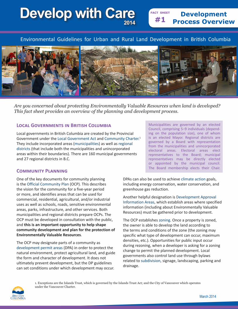
Are you concerned about protecting Environmentally Valuable Resources when land is developed? This fact sheet provides an overview of the planning and development process.
Local Governments in British Columbia Local governments in British Columbia are created by the Provincial Government under the Local Government Act and Community Charter.1 They include incorporated areas (municipalities) as well as regional districts (that include both the municipalities and unincorporated areas within their boundaries). There are 160 municipal governments and 27 regional districts in B.C.
Community Planning One of the key documents for community planning is the Official Community Plan (OCP). This describes the vision for the community for a five-year period or more, and identifies areas that can be used for commercial, residential, agricultural, and/or industrial uses as well as schools, roads, sensitive environmental areas, parks, infrastructure, and other services. Both municipalities and regional districts prepare OCPs. The OCP must be developed in consultation with the public, and this is an important opportunity to help shape community development and plan for the protection of Environmentally Valuable Resources.
The OCP may designate parts of a community as development permit areas (DPA) in order to protect the natural environment, protect agricultural land, and guide the form and character of development. It does not ultimately prevent development, but the DP guidelines can set conditions under which development may occur.
DPAs can also be used to achieve climate action goals, including energy conservation, water conservation, and greenhouse gas reduction.
Another helpful designation is Development Approval Information Areas, which establish areas where specified information (including about Environmentally Valuable Resources) must be gathered prior to development.
The OCP establishes zoning. Once a property is zoned, the owner is able to develop the land according to the terms and conditions of the zone (the zoning may specific what type of development can occur, maximum densities, etc.). Opportunities for public input occur during rezoning, when a developer is asking for a zoning change to permit the planned development. Local governments also control land use through bylaws related to subdivision, signage, landscaping, parking and drainage.
March 2014
Municipalities are governed by an elected Council, comprising 5–9 individuals (depend-ing on the population size), one of whom is an elected Mayor. Regional districts are governed by a Board with representation from the municipalities and unincorporated electoral areas. Electoral areas elect representatives to the Board; municipal representatives may be directly elected or appointed by the municipal council. The Board membership elects their Chair.
1. Exceptions are the Islands Trust, which is governed by the Islands Trust Act; and the City of Vancouver which operates under the Vancouver Charter.
Develop with Care2014
On a broader scale, Regional Growth Strategies provide long-range planning direction for regional district and municipal official community plans (OCPs), as well as a basis for decisions regarding implementation of provincial programs in the area. Most of the regional districts in the more populated areas of the province (southern Vancouver Island, Lower Mainland and the Okanagan) have prepared regional growth strategies.
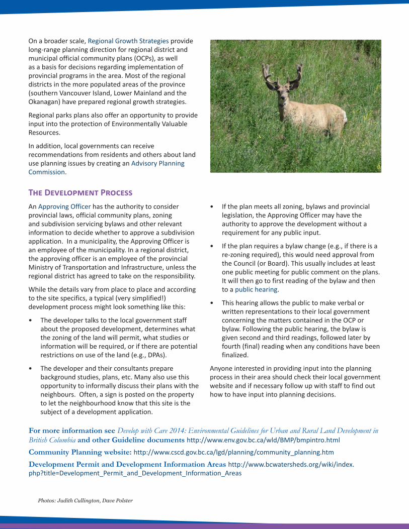
Regional parks plans also offer an opportunity to provide input into the protection of Environmentally Valuable Resources.
In addition, local governments can receive recommendations from residents and others about land use planning issues by creating an Advisory Planning Commission.
The Development ProcessAn Approving Officer has the authority to consider provincial laws, official community plans, zoning and subdivision servicing bylaws and other relevant information to decide whether to approve a subdivision application. In a municipality, the Approving Officer is an employee of the municipality. In a regional district, the approving officer is an employee of the provincial Ministry of Transportation and Infrastructure, unless the regional district has agreed to take on the responsibility.
While the details vary from place to place and according to the site specifics, a typical (very simplified!) development process might look something like this:
• The developer talks to the local government staff about the proposed development, determines what the zoning of the land will permit, what studies or information will be required, or if there are potential restrictions on use of the land (e.g., DPAs).
• The developer and their consultants prepare background studies, plans, etc. Many also use this opportunity to informally discuss their plans with the neighbours. Often, a sign is posted on the property to let the neighbourhood know that this site is the subject of a development application.
• If the plan meets all zoning, bylaws and provincial legislation, the Approving Officer may have the authority to approve the development without a requirement for any public input.
• If the plan requires a bylaw change (e.g., if there is a re-zoning required), this would need approval from the Council (or Board). This usually includes at least one public meeting for public comment on the plans. It will then go to first reading of the bylaw and then to a public hearing.
• This hearing allows the public to make verbal or written representations to their local government concerning the matters contained in the OCP or bylaw. Following the public hearing, the bylaw is given second and third readings, followed later by fourth (final) reading when any conditions have been finalized.
Anyone interested in providing input into the planning process in their area should check their local government website and if necessary follow up with staff to find out how to have input into planning decisions.
For more information see Develop with Care 2014: Environmental Guidelines for Urban and Rural Land Development in British Columbia and other Guideline documents http://www.env.gov.bc.ca/wld/BMP/bmpintro.html
Community Planning website: http://www.cscd.gov.bc.ca/lgd/planning/community_planning.htm
Development Permit and Development Information Areas http://www.bcwatersheds.org/wiki/index.php?title=Development_Permit_and_Development_Information_Areas
Photos: Judith Cullington, Dave Polster