Embed Size (px)
Citation preview

June 16
1Dr.-Ing. Damian Bargiel
Department of Remote Sensing and Image Analysis
Technical University of Darmstadt
June 16
2
Content of the presentation
1. Overview of FabSpace 2.0 project
2. Potential applications of space data
3. Current Status & How to get involved

June 16
4
4
Quelle : ESA

June 16
5
WHAT: - open-innovation network
- geodata-based innovation
- Universities 2.0
- free-access place & service
WHICH TOOLS:- free software
- data processing tools
- data platform
- data management infrastructure
- daily technical support
- online support
- MOOC aggregator
- daily animation
- entrepreneurship-oriented pilot actions
- innovation leadership training programmes for researchers
- Space Science shops
- events, bootcamps
The FabSpace 2.0 model

June 16
6
Support activities of Fabspace 2.0
Target Groups
• Universities
• Researchers and students
• Entrepreneurs
• Public authorities
• Industry
• Business Support Organisations

June 16
7
Current locations of FabSpaces
zFirst in Europe, then worldwide

June 16
8
Team work and interdisciplinarity will generate new
ideas and applications of the data
Methodology
• Team work
• Interdisciplinary teams
• Innovative forms of education – Project Based Learning (PBS)
• Design Thinking method
UNIVERSITIESAS OPEN INNOVATION
AND BUSINESS GENERATORS
IN THE AREA OF (SATELLITE) DATA-
DRIVEN INNOVATION

June 16
9
Team work and interdisciplinarity will generate new
ideas and applications of the data
Methodology
• Team work
• Interdisciplinary teams
• Innovative forms of education – Project Based Learning (PBS)
• Design Thinking method
UNIVERSITIESAS OPEN INNOVATION
AND BUSINESS GENERATORS
IN THE AREA OF (SATELLITE) DATA-
DRIVEN INNOVATION

June 16
10
- FABSPACE CHALLENGES & POTENTIAL APPLICATIONS -

June 16
11
« Can we use Earth Observation datato prevent shark attacks around Reunion Island? »
Students, researchers, citizens and companies
Digital platform offering access to geodata (including
Earth Observation data) + computing and visualisation
tools
Work and brainstorm in an open co-working space
Revolutionary idea!
A challenge from the SURFRIDER Foundation Europe

June 16
12
The Urban Atlas of Toulouse
(EEA - Copernicus )
Open data portal of Brussels with the available
bikes in the city (TerraHUB platform in Brussels)
Space Data Applications - Examples

June 16
13
- STATUS & GET INVOLVED -

June 16
14
14
FabSpace roadmap 2017
Planing phaseAdopt FabSpace project
scheme to local FabSpaces
Operation phasePromote FabSpace and it’s instruments
Prepare first set of Innovation events
Innovation eventsStartup weeks
App campsHackathons
BootcampIntensive training to prepare the best for incubation/startup track
End of 1st roundNov. 2017NOW
Communitystart to get users
ChallengesStart to get
high quality challenges

June 16
15
15
Current progress in all FabSpaces
Community
• Build up FabSpace user community
• Connect community on different levels
• Get experts on board
Challenges
• Identify promising challenges of 3rd parties with high business potential
June 16
16
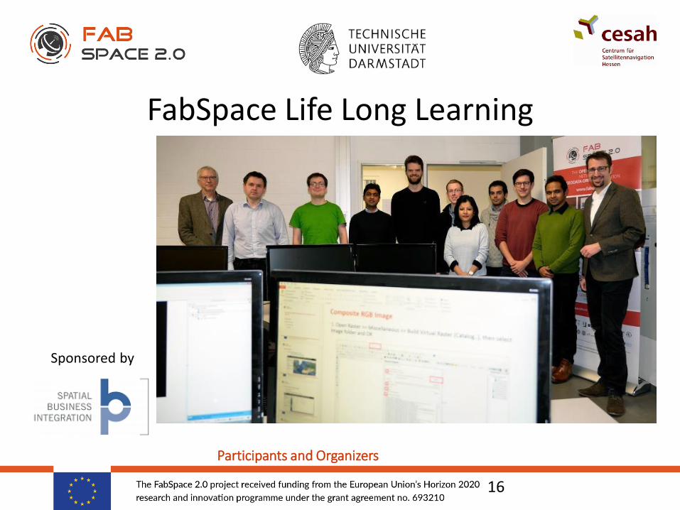
FabSpace Life Long Learning
16
Sponsored by
Participants and Organizers

June 16
17
17
Theme: Feasibility analysis of Sentinel-2 satellite image use for application in the field of agriculture
Objectives: To explore applicability of optical remote sensing in the field of agriculture
To check the availability and download Sentinel-2 images of 1st October 2015 - 31st July 2016 for particular Area of Interest
To process images for application development (i.e. Cloud cover detection, vegetation indexes)
Data Specification:• The current exercise used Sentinel-2 Level-1C images
• The 13 bands of Sentinel-2 images are in different spatial resolutions
• The area of interst are in Esri Shape file
Outcome:• Complete understanding of Sentinel-2 Image download process
• Basic understanding of Satellite Image Processing

June 16
18
Are you…
• A student / researcher with an innovative idea?
• Representing a University?
• Supporting new businesses?
@FabSpaceWorld
www.fabspace.eu
fabspaceworld
[email protected] part in the next innovations in the field of
satellite space data applications!
GET IN TOUCH!
For more information
Sascha Heising, [email protected], +49 (0) 151 117 600 99Bayzidul Islam, [email protected], +49 (0) 6151 16-22604

June 16
19
19
June 16
20
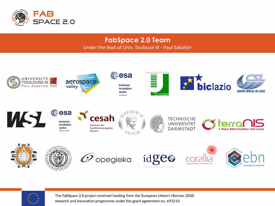
FabSpace 2.0 TeamUnder the lead of Univ. Toulouse III - Paul Sabatier