Embed Size (px)
Citation preview

EXHIBIT XII

------------
COMMUNITY DOCK AGREEMENT EXAMPLE
DATE: _
TO: ADDRESS : ~__~ _
LOCATION: __
PERMIT NO: EXPIRES: _
I, ___________ , have been appointed designated agent to act on behalf of (Incorporated club or home owners association).
I, , have been appointed designated agent to act on behalf of members of the community dock.
I understand that Permit No. is issued for a community dock. As Designated Representative, I agree that issuance of the permit is dependent upon the following conditions:
a. Users of community docks must own an undivided interest proportionate to use in the dock and each member will be obligated to bear a proportional share of construction, maintenance and upkeep expenses. Community dock members are encouraged to form a legal association.
b. The Resource Management Office will be provided with list of all individuals having interest in the community dock. Individuals may not hold interest in more than one dock slip in one or more community docks. When a share of a community dock is sold, the name and address of the new owner and previous owner will be furnished to the Resource Management Office.
c. No boats or slips may be rented at community docks, and guests may not moor their boats at community docks except for temporary use, not to exceed the length of stay of the guest. No commercial activities will be permitted on the dock or on public lands adjacent to it.
d. A permit for a community dock does not give the members any exclusive rights with regard to the use of public lands for access, parking, or utilities to serve the dock nor to remove vegetation or trees, to construct breakwaters to protect the dock from wave damage, or to install buoys to restrict speeds of passing boats.
e. The permit will be reassigned with the permission of the. Resource Manager.
f. The shoreline adjacent to a community dock will be kept clean by dock members and maintained free of litter and debris, including building materials.
g. It will be the responsibility of all community dock members to provide for general safety of other members and/or guests on and around the community dock.
h. Members of the camumity dock, their guests and others shall save and hold the U. S. GoveDJITe11t and its authorized representatives harmless fran all claims for darrages.
i. Camumity dock rranbers shall not discriminate against any person or persons because of race, religion, color, creed, or national origin in conduct of operations on premises. Camumity dock rranbers must allow other applir.ants to add on to the dock, if natural physical conditions permit, provided the naximurn number of ten slips is not exceeded.
j. The camumity dock must be constructed in accordance with the West Point lake Shoreline Managerrent Plan. Enclosed docks or slips will not be permitted. The facility shall be designed as a whole, but individual units rray be built as needed and authorized by m:xlification of the permit. The Designated Representative, on behalf of the rranbers, rray request expansion of the camumity dock. However, no expansion or alteration rray be accomplished until detailed plans and specifications have been approved by the Resource Manager.
k. All conditions of the West Point Lake Shoreline Managerrent Plan will be adhered to.
I agree to discuss the above conditions with all rranbers of the camumity dock association and act as Designated Representative until such tiTre as another agent is appointed. Such appointrrent must be furnished in writing and approved. by the Resource Manager. As agent, I will ensure the above conditions are adhered to and that the camumity dock facility is rraintained in a safe, structurally sound and attractive manner at all tiTres . I understand that I rray be required to appear before aU. S . Magistrate for noncompliance with terms and conditions of this permit.
___________ (SFAL)
DA1E
Resource Manager West Point Lake

PROPERTY OWNERS ASSOCIATION COMMUNITY FLOATION FACILITY
Permit/License __ List of lot owners assigned to facility
Slip#l.
Slip#2.
Slip#3.
Slip#4.
Slip#5.
Slip#6.
Slip#7.
Slip#8.
Slip#9.
Slip#10.

EXHIBIT XIII

ll!J) Cond-tions for Limited, Minor US Anny Corpsof Engineers Underbrushing Mobile District
on West Point Lake
Underbrushing permits will be limited to a strip averaging 100 feet in width, extending from the goverrunent property line to the shoreline (635' ~I. S. L. elevation.) The width at the gov:ernment property line plus the 'Jidth at the shoreline may not exceed a sum of 200 linear feet.
_--1-/--_ .-GOve,nmF';o; -\ I 4O'1"'0·';"y - _ 'une- - ---
\ I \ \175'1"1-""'1 1 \ I \ \ / \ I I J ~.o~\ \ I \ I
30' Lake EIe"aUOn-----~1001 ~5170,j
(
CONDITIONS: 1. Permittee may cut and remove only undesirable trees and underbrush
five (5) inches or less in diameter at ground level, leaving trees no more than eight (8) feet apart or less. (Eight-by-eight spacing)
2. Permittee may not cut a tree or trees larger than five (5) inches in diameter at ground level unless approved and marked by the Ranger. Dead trees must also be approved and marked by Ranger before removal.
3. Permittee may not cut or remove any native ornamental plants or trees (such as dogwoods, magnolias, azaleas, etc.) regardless of spacing, unless specifically authorized and marked by the Ranger.
4. Permittee may prune low limbs on large trees from ground up to a height of ten (10) feet, or 1/3 the height of the tree, whichever is less. Limbs will be trimmed close to the trunk.
5. Permittee may use only hand tools (power or manual). No equipment larger than small riding mowers, may be used. Mowers may not be used on slopes where the removal of grass and leaf mulch will contribute to soil erosion. No heavy equipment may be left or operated on public land. When questions arise about a specific kind of equipment, permittee should contact the Ranger.
6. Permittee will not use herbicides, insecticides, or any kind of biological control chemicals on public land. If unusual conditions exist, such as a kudzu infestation, the permittee should contact the Resource Management Office to determine if a Specified Acts Permit may be obtained.
7. Permittee may pile and burn underbrush authorized for cutting by this permit. If underbrush is burned on public property, all burning must take place below the 635' M.S.L. elevation. All burning must comply with state regulation; permittee must contact the county office of the state forestry commlssion prior to burning and get permission to burn. No controlled or prescribed burning is permitted.
8. Permittee may plant up to four (4) native trees or shrubs (dogwood, redbud, wax myrtle, etc.) without prior approval, provided they are located in a random fashion and do not displace existing vegetation. Larger scale projects require prior approval of a planting plan.
m Conditions for Grandfathered us Army ClV'IM Limited, Minor Underbrushingof Engineers Mobc1e District
on West Point Lake
Underbrushing permits will be limited to area identified on the Shoreline Use Permlt Site Sheet Plan and in the Special Conditions portion of the Shoreline Use Permit form SAD 3185-R. Underbrushlng will be permitted under these guidelines until the adjacent private property fronting the underbrushing area is sold or changes ownership.
CONDITIONS: 1. Permittee may cut and remove only undesirable trees and underbrush
five (5) inches or less in diameter at ground level, leaving trees no more than eight (8) feet apart or less. (Eight-by-eight spacing)
2. Permittee may not cut a tree or trees larger than five (5) inches in diameter at ground level unless approved and marked by the Ranger. Dead trees must also be approved and marked by Ranger before removal.
3. Permittee may not cut or remove any native ornamental plants or trees (such as dogwoods, magnolias, azaleas, etc.) regardless of spacing, unless specifically authorized and marked by the Ranger.
4. Permittee may prune low limbs on large trees from ground up to d
height of ten (10) feet, or 1/3 the height of the tree, whichever is less. Limbs will be trimmed close to the trunk.
5. Permittee may use only hand tools (power or manual). No equipment larger than small riding mowers may be used. ~owers may not be IJsed on slopes where the removal of grass and leaf mulch will contribute to sOll erosion. No heavy equipment may be left or operated on public land. ~hen
Questions arise about a specific I\ind of equipment, permittee should contact the Ranger.
6. Permittee will not use herbicides, insecticides, or any kind of biological control chemicals on public land. If unusual conditions exist, such as a kudzu infestation, the permittee should contact the Resource Management Office to determine if a Specified Acts Permit may be obtained.
7. Permittee may pile and burn underbrush authorized for cutting by this permit. If underbrush is burned on public property, all burning must take place below the 635' M.S.L. elevation. All burning must comply with state regulation; ~ermittee must contact the county office of the state forestry commission prior to burning and get permission to burn. No controlled or prescribed burning is permitted.
8. Permittee may plant up to four (4) native trees or shrubs (dogwood, redbud, wax myrtle, etc.) without prior approval, provided they are located in a random fashion and do not displace existing vegetation. Larger scale projects require prior approval af 1 planting plan.
m Conditions for a Five Foot Wide us Anny Corps Meanderi 9 Pathwayof EngIneers Mobite District
on West Point Lake
Permits for vegetation removal on public lands allocated as "Protected" wi1, be limlted to a five (5) foot wide meandering pathway extending from the public property line to the shoreline. No underbrushing or other vegetative removal 1S permitted in these areas.
CONDITIONS: 1. The five foot wide pathway will meander (twist; turn; wander;
wind; ramble) following the contour or the lay of the land as closely as possible.
2. Permittee may cut and remove only undesirable trees and underbrush five (5) inches or less in diameter at ground level within the bounds of the five foot wide pathway.
3. Permittee may not cut a tree or trees larger than five (5) inches in diameter at ground level unless approved and marked by the Ranger. Dead trees must also be approved and marked by Ranger before removal.
4, Permittee may not cut cr remove any native ornamental plants or trees (such as dogwoods, magnolias, azaleas, etc.) unless specifically authorized and marked by the Ranger.
5. Permittee may prune low limbs on large trees from ground up to a height of ten (10) feet or 1/3 the height of the tree, whichever is less if the limbs hang over the five foot wide pathway. Limbs will be trimmed close to the trunk.
6. Permittee may use only hand tools (power or manual). No equipment larger than small riding mowers may be used. Mowers may not be used on slopes where the removal of grass and leaf ~u1ch will contribute to soil erosion. No heavy equipment may be left or operated on public land. When questions arise about a specific kind of equipment, permittee should contact the Ranger.
7. Permittee will not use herbicides, insecticides, or any kind of biological control chemicals on public land. If unusual conditions exist, such as a kudzu infestation, the permittee should contact the Resource Management Office to determine if a Specified Acts Permit may be obtained.
8. Permittee may pile and burn underbrush authorized for cutting by this permlt. If underbrush is burned on public property, all burning must take place below the 635' M.S.L. elevation. All burning must comply with state regulation; permittee must contact the county office of the state forestry commission prior to burning and get permission to burn. ~controlled or Drescriged burning is permitted.
~. Permittee may plant up to four (4) native trees or shrubs (dogwood, redbud, wax myrtle, etc.) without prior approval, provided they are located in a random fashion and do not displace existing vegetation. Larger ~cale crojects reauire prior approval af a plant1ng plan.

EXHIBIT ;X,IV
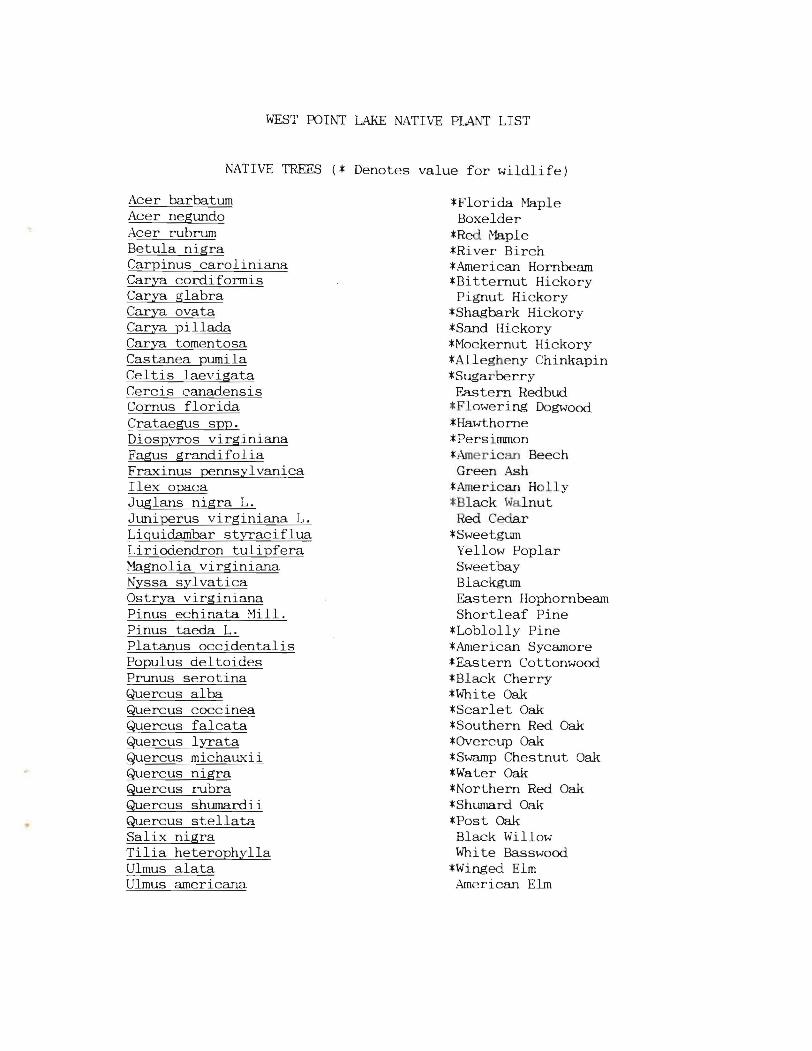
WEST POINT LAKE NATIve PLANT LIST
NATIVE TREES (* Denotes value for wildlife)
Acer barbatum Acer negundo Acer rubrum Betula nigra Carpinus caroliniana Carya cordiformis Carya glabra Carya ovata Carya pillada Carya tomentosa Castanea pumila Celtis laevigata Cercis canadensis Comus florida Crataegus spp. Diospyros virginiana Fagus grandifolia Fraxinus pennsylvanica Ilex opaca Juglans nigra L. Juniperus virginiana L. Liquidambar styraciflua Liriodendron tulipfera Magnolia virginiana Nyssa sylvatica Ostrya virginiana Pinus echinata Mill. Pinus taeda L. Platanus occidentalis Populus deltoides Prunus serotina Quercus alba Quercus coccinea Quercus falcata Quercus lyrata Quercus michauxii Quercus nigra Quercus rubra Quercus shumardii Quercus stellata Salix nigra Tilia heterophylla Ulmus alata Ulmus americana
*Florida tvIaple Boxelder
*Red Maple *River Birch *American Hornbeam *Bitternut Hickory Pignut Hickory
*Shagbark Hickory *Sand Hickory *Mockernut Hickory *Allegheny Chinkapin *Sugarberry Eastern Redbud
*Flowering Dogwood *Hawthorne *Persinnnon *American Beech Green Ash
*American Holly *Black Walnut
Red Cedar *Sweetgum Yellow Poplar Sweetbay Blackgum Eastern Hophornbeam Shortleaf Pine
*Loblolly Pine *American Sycamore *Eastern Cottonwood *Black Cherry *White Oak *Scarlet Oak *Southern Red Oak *Overcup Oak *Swamp Chestnut Oak *Water Oak *Northern Red Oak *Shumard Oak *Post Oak Black Willow Whi te Basswood
*Winged Elm American Elm
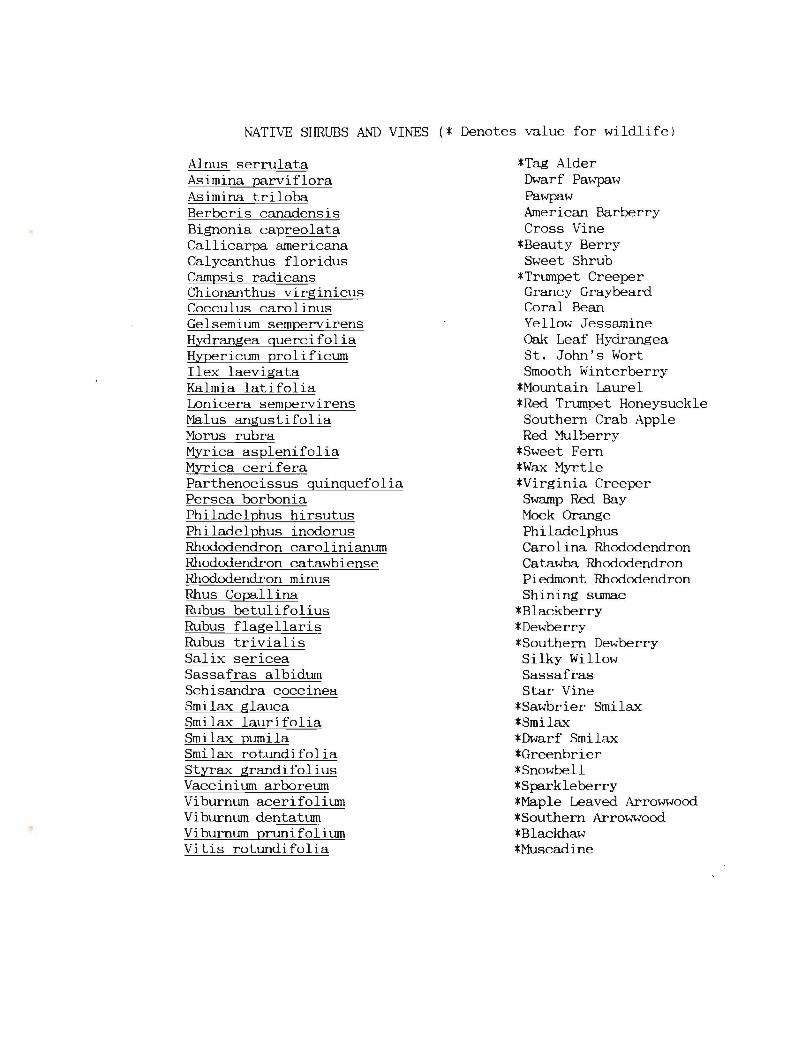
NATIv~ SHRllliS AND VINES (* Denotes value for wildlife)
Alnus serrulata Asimina parviflora Asimina triloba Berberis canadensis Bignonia capreolata Callicarpa americana Calycanthus floridus Campsis radicans Chionanthus virginicus Cocculus carolinus Gelsemium sempervirens Hydrangea quercifolia Hypericum prolificum Ilex laevigata Kalmia latifolia Lonicera sempervirens Malus angustifolia Morus rubra Myrica asplenifolia Myrica cerifera Parthenocissus quinquefolia Persea borbonia Philadelphus hirsutus Philadelphus inodorus Rhododendron carolinianum Rhododendron catawbiense Rhododendron minus Rhus Copall ina Rubus betulifolius Rubus flagellaris Rubus trivial is Salix sericea Sassafras albidum Schisandra coccinea Smilax glauca Smilax laurifolia Smilax pumila Smilax rotundifolia Styrax grandifolius Vaccinium arboreum Viburnum acerifolium Viburnum dentatum Viburnum prunifolium Vitis rotundifolia
*Tag Alder Dwarf Pawpaw Pawpaw American Barberry Cross Vine
*Beauty Berry Sweet Shrub
*Trumpet Creeper Grancy Graybeard Coral Bean Yellow Jessamine Oak Leaf Hydrangea St. John's Wort Smooth Winterberry
*Mountain Laurel *Red Trumpet Honeysuckle Southern Crab Apple Red Mulberry
*Sweet Fern *Wax Myrtle *Virginia Creeper
Swamp Red Bay Mock Orange Philadelphus Carolina Rhododendron Catawba Rhododendron Piedmont Rhododendron Shining sumac
*Blackberry *Dewberry *Southern Dewberry Silky Willow Sassafras Star Vine
*Sawbrier Smilax *Smilax *Dwarf Smilax *Greenbrier *Snowbell *Sparkleberry *Ma.ple Leaved Arrowwood *Southern Arrowwood *Blackhaw *Muscadine

EXHIBIT XV
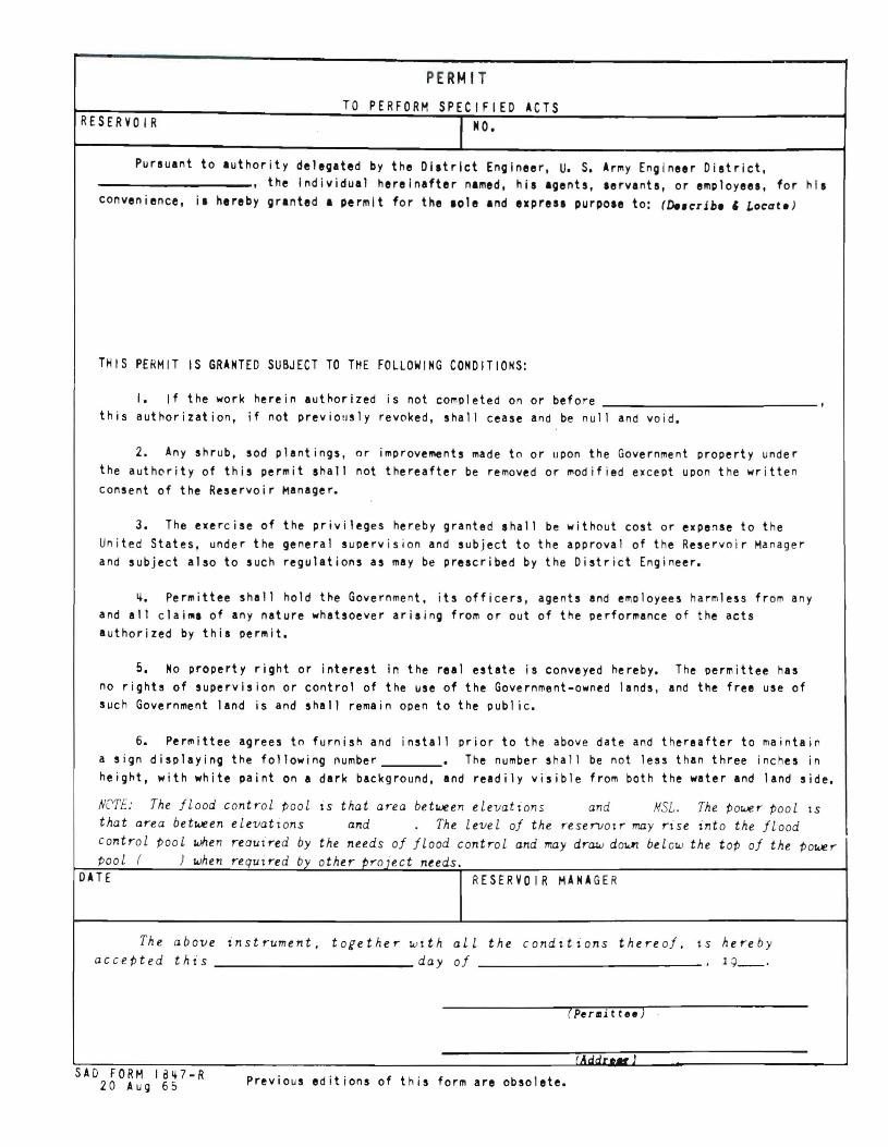
PERMIT
TO PERFORM SPECIFIED ACTS RESERVOIR II O.
Pursuant to authority delegated by the Dlltrlct Engineer, U. S. Army Engineer District,
----------, the Individual hereinafter named, his agents, aervanta, or employees, for his
convenience, il hereby granted a permit for the lole and e.presl purpole to: (De.crih. , Locate)
THIS PERMIT IS GRANTED SUBJECT TO THE FOLLOWING CONDITIONS:
I. If the work herein authorized is not completed on or before ,
this authorization, if not previolJsly revoked, shall cease and be null and void.
2. Any shrub, sod plant ings, or improvements made to or upon the Government property under
the auth~rity of this permit shall not thereafter be removed or modified except upon the written
consent of the Reservoir ~anager.
3. The exercise of the privileges hereby granted shall be without cost or expense to the
United States, under the general supervision and subject to the approval of the Reservoir Manager
and subject also to such regulations as may be prescribed by the District Engineer.
It. Permittee shall hold the Government, its officers, agents and el'\ployees harmless from any
and all clai~1 of any nature whatsoever arising from or out of the performance of the acts
authorized by this permit.
5. No property right or interest in the real estate is conveyed hereby. The permittee has no rights of supervision or control of the use of the Government-owned lands, and the free use of
such Government land is and shall remain open to the public.
6. Permittee agrees to furnish and install prior to the above date and thereafter to maintain
a silln displaying the following number • The number shall be not less than three inches in
heillht, with white paint on a dark background, and readily visible from both the water and land side.
NC'TE: The flood contr-ol pool is that ar-ea between elevations and NSL. The power- pool tS
that ar-ea between elevations and The level of the r-eser-vOtr- may r-ise into the flood contr-ol pool when r-eauir-ed by the needs of flood contr-ol and may draw dawn belcw the top of the power-Pool ( ) when required by other tJr-oiect needs.
DATE RESERVO I R MANAGER
The above instrument, together with all the condttions thereof. \s hereby accepted this day of _ 19__ ·
( Pe r III i tt ee )
(J SAD FORM IBlt7-R
Previous editions of this form are obsolete.20 AUIi 65

EXHIBIT XVI

Guide ines for Planning an Improved Walkway
us~eorp.of engineers Mcb1e District on est Point Lake
Plans must be submitted showing proposed dimensions and construction materials. The walkway should fol low the topography and be of simple design.
SAMPLE DESIGN
-
material: Pine bark chips
Crossties meander with contour/slope of hill to inhibit soil erosion. *Crossties ma~ not be connected with any tvpe of border.
---------WAI.KWAY PLAN VIEW
---. --'" ~_635'
--------l Dock
LAKEwal'J
WALKWAY CONSTRUCTION CROSS-SECTION
Backfill material:
Metal rod driven into ground