Embed Size (px)
Citation preview
Ministry of Environment and Agriculture of Georgia
National Environmental Agency (NEA)HYDROC GmbH
Experience from Georgia
Assessment of Suitable Flood Mitigation Measures (basedon Tsavkisistskali River Extreme Flood Analysis) in Tbilisi
On Behalf :
Stakeholder: Dr. George Kordzakhia (NEA)
Project implementer: Juan Fernandez (HYDROC GmbH)
INFORMATION SESSION - CTCN EXPERIENCES: PERSPECTIVES OF
NDEs and TECHNICAL ASSISTANCE PROVIDERS
07 -09 March, 2018
Copenhagen, Denmark
SUMMARY OF THE CTCN ASSISTANCE (1)
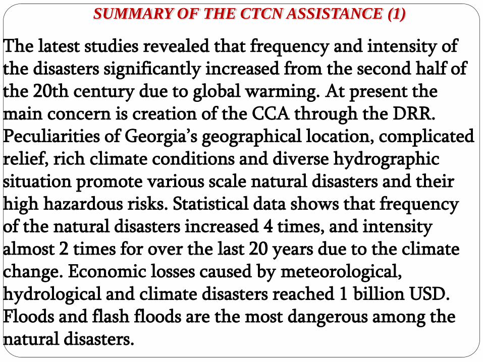
The latest studies revealed that frequency and intensity of the disasters significantly increased from the second half of the 20th century due to global warming. At present the main concern is creation of the CCA through the DRR.Peculiarities of Georgia’s geographical location, complicated relief, rich climate conditions and diverse hydrographic situation promote various scale natural disasters and their high hazardous risks. Statistical data shows that frequency of the natural disasters increased 4 times, and intensity almost 2 times for over the last 20 years due to the climate change. Economic losses caused by meteorological, hydrological and climate disasters reached 1 billion USD. Floods and flash floods are the most dangerous among the natural disasters. ofMINISTRY
OF
ENVIRONMENT
SUMMARY OF THE CTCN ASSISTANCE (2)
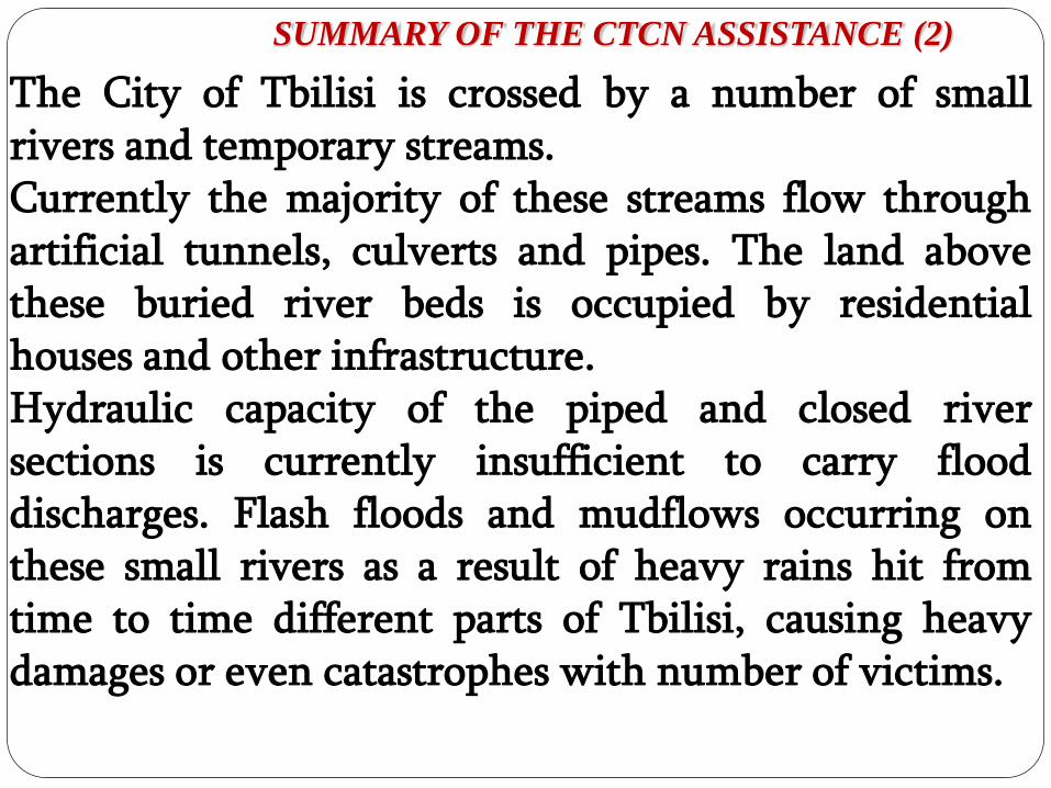
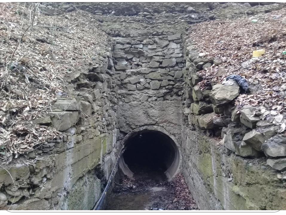
The City of Tbilisi is crossed by a number of smallrivers and temporary streams.Currently the majority of these streams flow throughartificial tunnels, culverts and pipes. The land abovethese buried river beds is occupied by residentialhouses and other infrastructure.Hydraulic capacity of the piped and closed riversections is currently insufficient to carry flooddischarges. Flash floods and mudflows occurring onthese small rivers as a result of heavy rains hit fromtime to time different parts of Tbilisi, causing heavydamages or even catastrophes with number of victims.
ofMINISTRY
OF
ENVIRONMENT
Background (1)
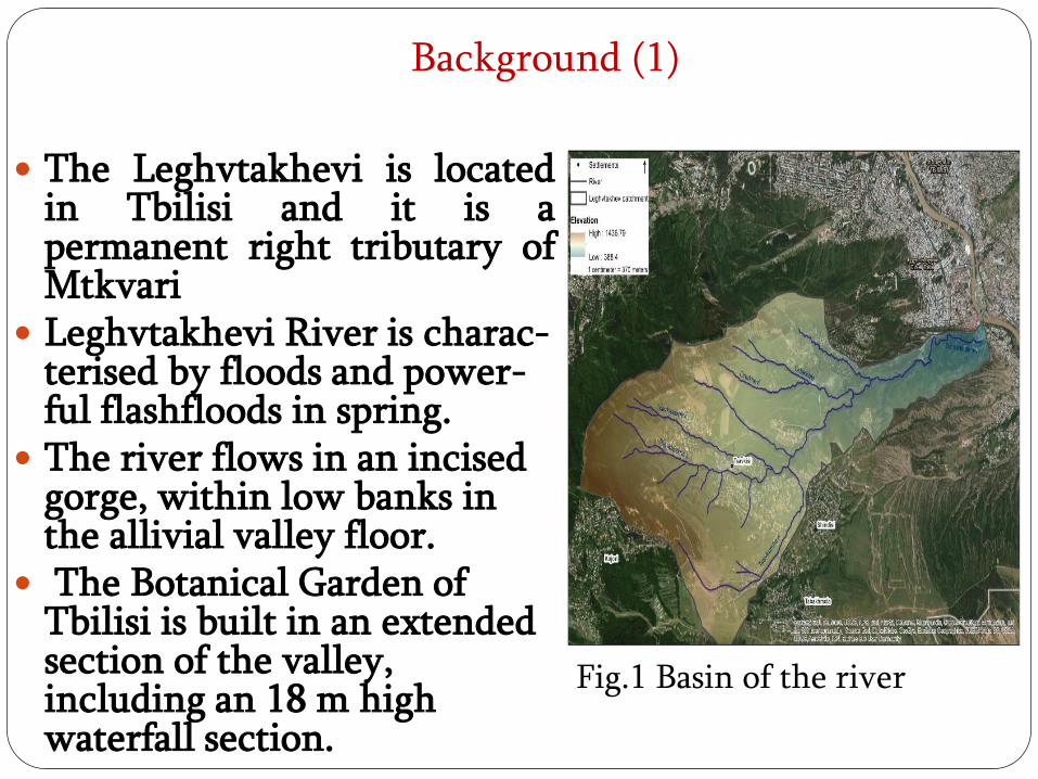
The Leghvtakhevi is locatedin Tbilisi and it is apermanent right tributary ofMtkvari
Leghvtakhevi River is charac-terised by floods and power-ful flashfloods in spring.
The river flows in an incised gorge, within low banks in the allivial valley floor.
The Botanical Garden of Tbilisi is built in an extended section of the valley, including an 18 m high waterfall section.
Fig.1 Basin of the river
BACKGROUND (3)
In 1903 and 1955 years there were flashfloods recorded on Leghvtakhevi River. In 1955 a strong flashflood was caused by heavy rain that resulted in mudflow that washed away the Abanotubani/bath district and caused the death of 5 people there. Currently the area around the river mouth is intensively developed.
ofMINISTRY
OF
ENVIRONMENT
THANKS FOR YOUR
KIND ATTENTION
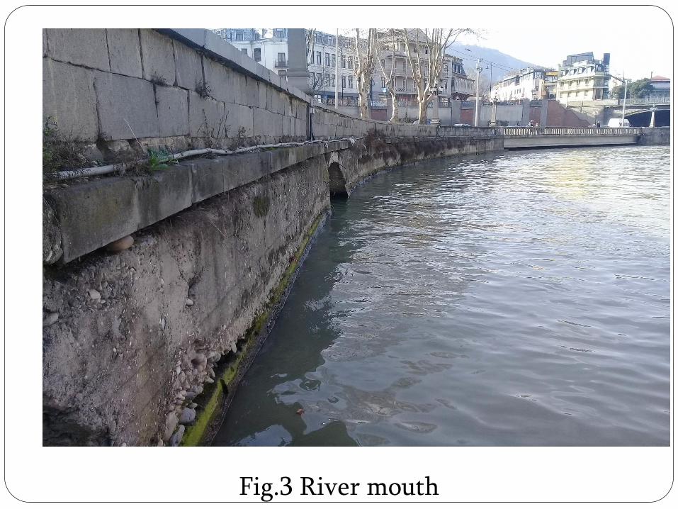
Fig.3 River mouth
BACKGROUND (2)
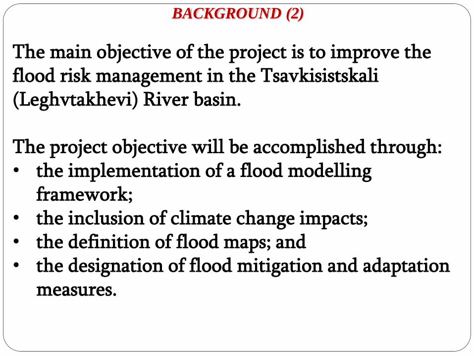
The main objective of the project is to improve the flood risk management in the Tsavkisistskali(Leghvtakhevi) River basin.
The project objective will be accomplished through:• the implementation of a flood modelling
framework; • the inclusion of climate change impacts; • the definition of flood maps; and • the designation of flood mitigation and adaptation
measures.
ofMINISTRY
OF
ENVIRONMENT
METHODOLOGY (1)
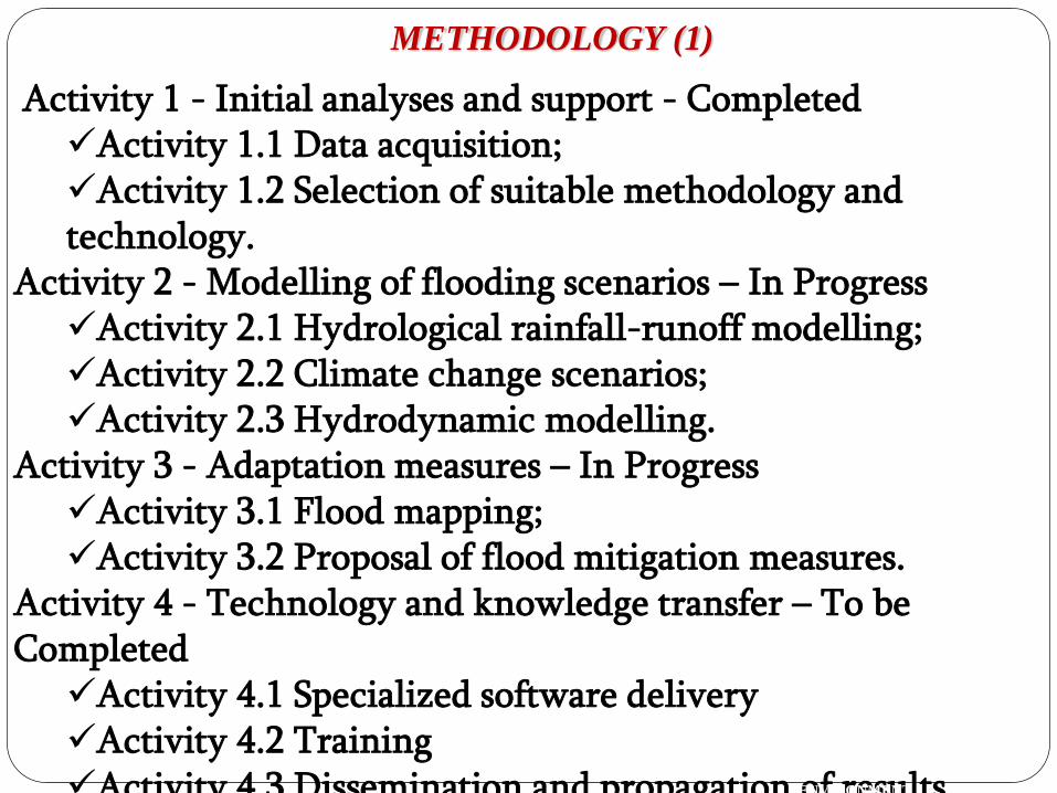
Activity 1 - Initial analyses and support - CompletedActivity 1.1 Data acquisition;Activity 1.2 Selection of suitable methodology and technology.
Activity 2 - Modelling of flooding scenarios – In ProgressActivity 2.1 Hydrological rainfall-runoff modelling;Activity 2.2 Climate change scenarios;Activity 2.3 Hydrodynamic modelling.
Activity 3 - Adaptation measures – In ProgressActivity 3.1 Flood mapping;Activity 3.2 Proposal of flood mitigation measures.
Activity 4 - Technology and knowledge transfer – To be CompletedActivity 4.1 Specialized software deliveryActivity 4.2 TrainingActivity 4.3 Dissemination and propagation of results
ofMINISTRY
OF
ENVIRONMENT
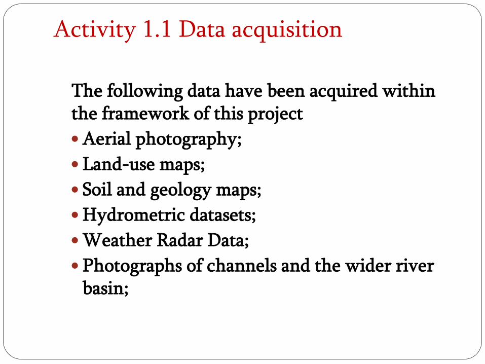
Activity 1.1 Data acquisition
The following data have been acquired within the framework of this project
Aerial photography;
Land-use maps;
Soil and geology maps;
Hydrometric datasets;
Weather Radar Data;
Photographs of channels and the wider river basin;
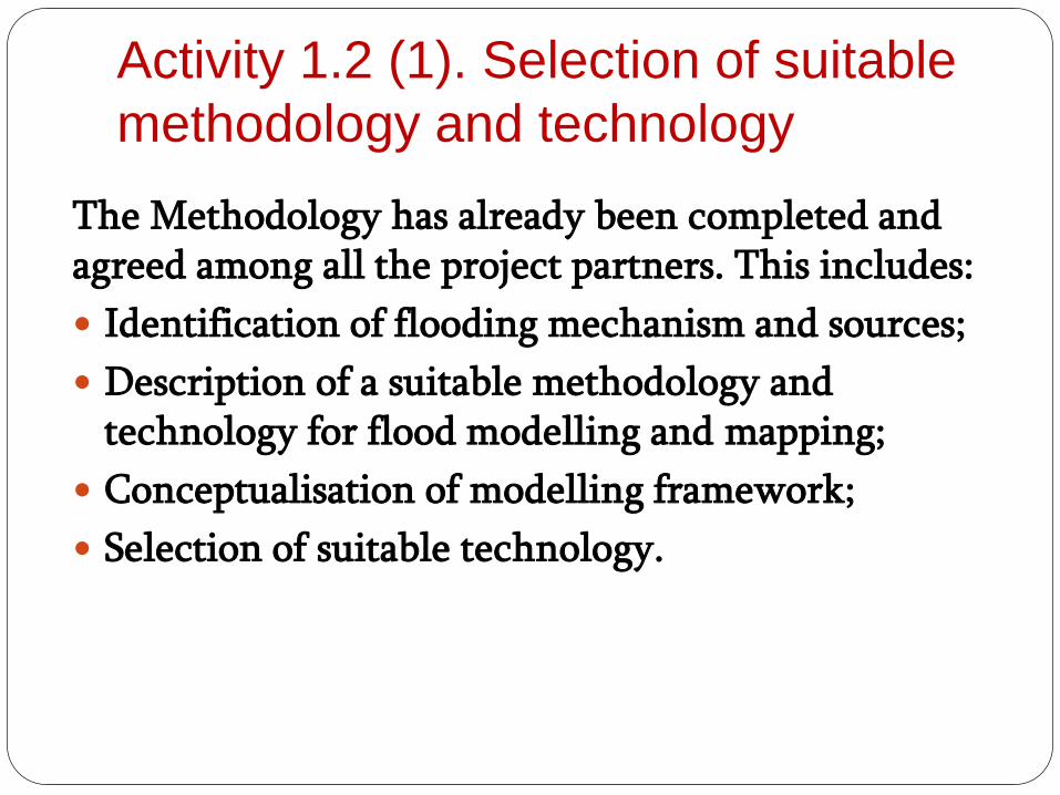
Activity 1.2 (1). Selection of suitable
methodology and technology
The Methodology has already been completed and agreed among all the project partners. This includes:
Identification of flooding mechanism and sources;
Description of a suitable methodology and technology for flood modelling and mapping;
Conceptualisation of modelling framework;
Selection of suitable technology.
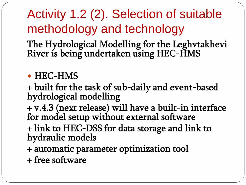
Activity 1.2 (2). Selection of suitable
methodology and technologyThe Hydrological Modelling for the Leghvtakhevi River is being undertaken using HEC-HMS
HEC-HMS+ built for the task of sub-daily and event-based hydrological modelling+ v.4.3 (next release) will have a built-in interface for model setup without external software+ link to HEC-DSS for data storage and link to hydraulic models+ automatic parameter optimization tool+ free software
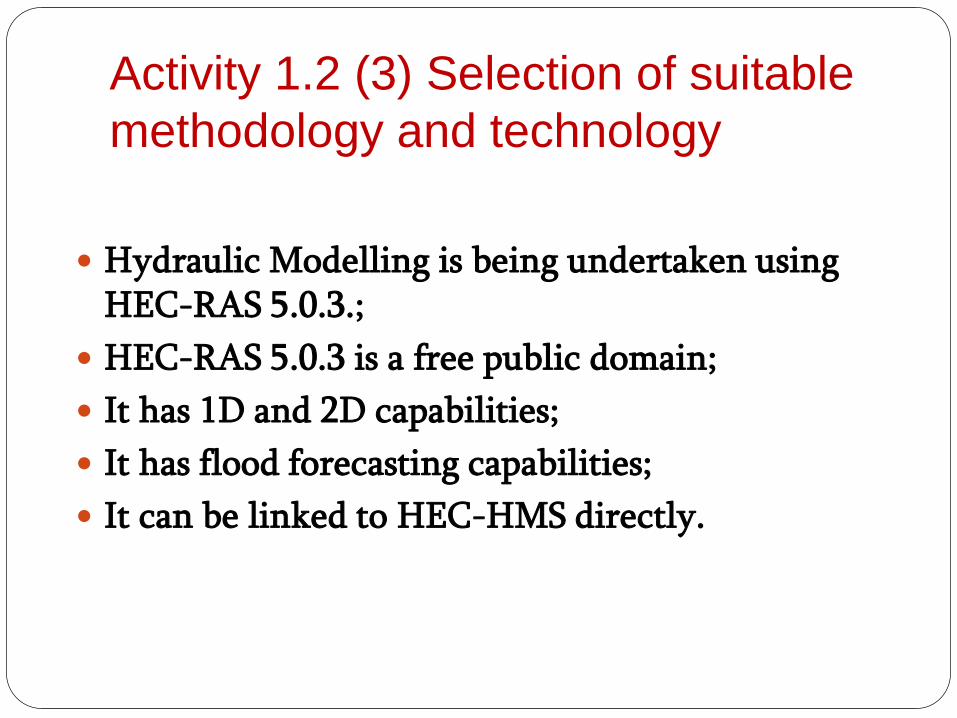
Activity 1.2 (3) Selection of suitable
methodology and technology
Hydraulic Modelling is being undertaken using HEC-RAS 5.0.3.;
HEC-RAS 5.0.3 is a free public domain;
It has 1D and 2D capabilities;
It has flood forecasting capabilities;
It can be linked to HEC-HMS directly.
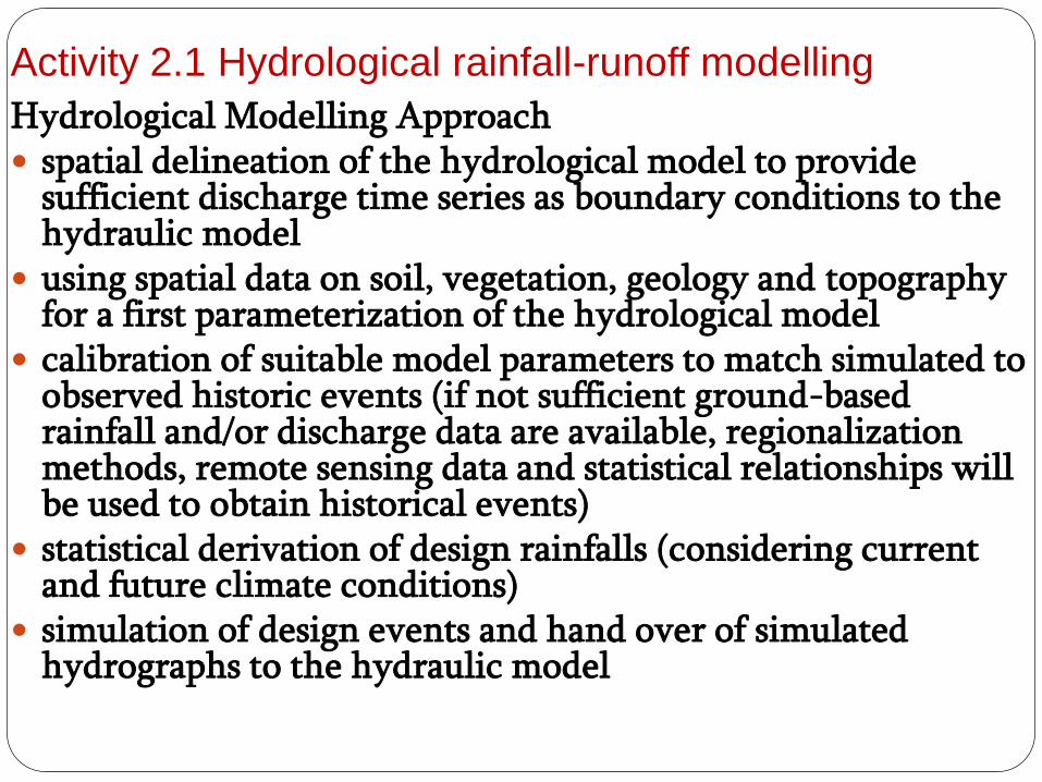
Activity 2.1 Hydrological rainfall-runoff modelling
Hydrological Modelling Approach spatial delineation of the hydrological model to provide
sufficient discharge time series as boundary conditions to the hydraulic model
using spatial data on soil, vegetation, geology and topography for a first parameterization of the hydrological model
calibration of suitable model parameters to match simulated to observed historic events (if not sufficient ground-based rainfall and/or discharge data are available, regionalization methods, remote sensing data and statistical relationships will be used to obtain historical events)
statistical derivation of design rainfalls (considering current and future climate conditions)
simulation of design events and hand over of simulated hydrographs to the hydraulic model
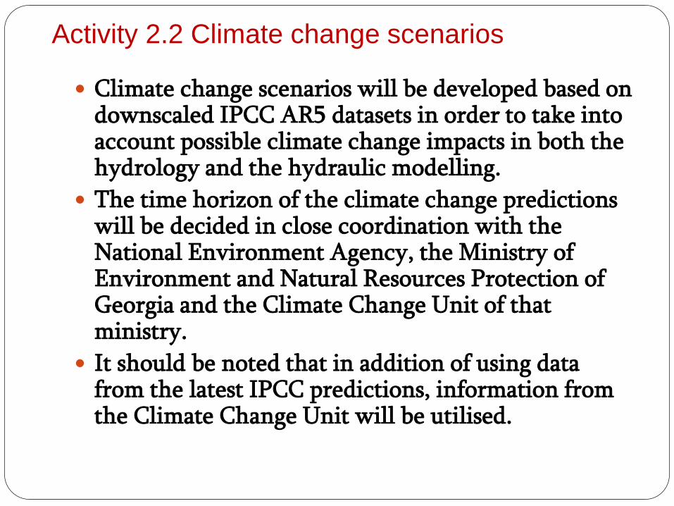
Activity 2.2 Climate change scenarios
Climate change scenarios will be developed based on downscaled IPCC AR5 datasets in order to take into account possible climate change impacts in both the hydrology and the hydraulic modelling.
The time horizon of the climate change predictions will be decided in close coordination with the National Environment Agency, the Ministry of Environment and Natural Resources Protection of Georgia and the Climate Change Unit of that ministry.
It should be noted that in addition of using data from the latest IPCC predictions, information from the Climate Change Unit will be utilised.
SUMMARY OF THE CTCN ASSISTANCE (2)
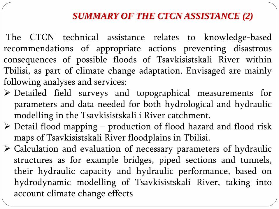
The CTCN technical assistance relates to knowledge-basedrecommendations of appropriate actions preventing disastrousconsequences of possible floods of Tsavkisistskali River withinTbilisi, as part of climate change adaptation. Envisaged are mainlyfollowing analyses and services: Detailed field surveys and topographical measurements for
parameters and data needed for both hydrological and hydraulicmodelling in the Tsavkisistskali i River catchment.
Detail flood mapping – production of flood hazard and flood riskmaps of Tsavkisistskali River floodplains in Tbilisi.
Calculation and evaluation of necessary parameters of hydraulicstructures as for example bridges, piped sections and tunnels,their hydraulic capacity and hydraulic performance, based onhydrodynamic modelling of Tsavkisistskali River, taking intoaccount climate change effects
ofMINISTRY
OF
ENVIRONMENT
SUMMARY OF THE CTCN ASSISTANCE (3)
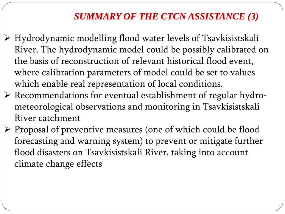
Hydrodynamic modelling flood water levels of TsavkisistskaliRiver. The hydrodynamic model could be possibly calibrated on the basis of reconstruction of relevant historical flood event, where calibration parameters of model could be set to values which enable real representation of local conditions.
Recommendations for eventual establishment of regular hydro-meteorological observations and monitoring in TsavkisistskaliRiver catchment
Proposal of preventive measures (one of which could be flood forecasting and warning system) to prevent or mitigate further flood disasters on Tsavkisistskali River, taking into account climate change effects
ofMINISTRY
OF
ENVIRONMENT
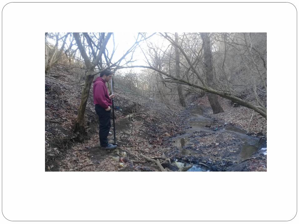
MEASURES DONE (1)
Within the framework of this project for the River
Leghtakhevi and its tributaries on the basis of the fieldworks
in the representative points are made:
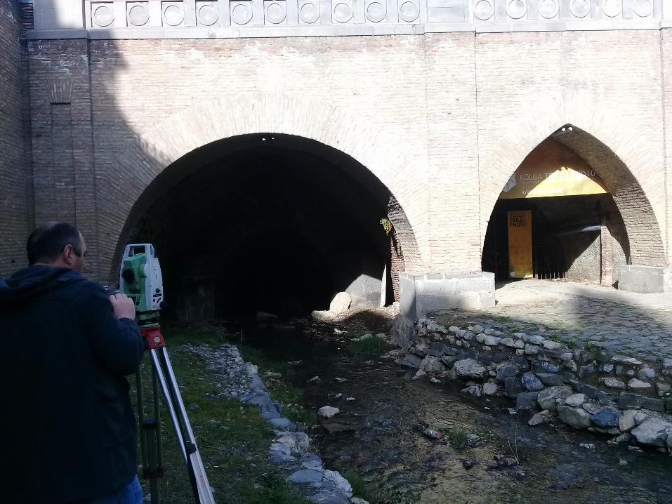
1.Surveys of 119 cross sections;
2. Are fixed the locations and sizes of the:
• Waterfalls;
• Bridges.
Within the framework of the office works, fieldwork data
was processed in GIS and network formats.
In a few days the electronic version of the data will be
created.ofMINISTRY
OF
ENVIRONMENT

THANKS FOR YOUR
KIND ATTENTION